
 Viewpoint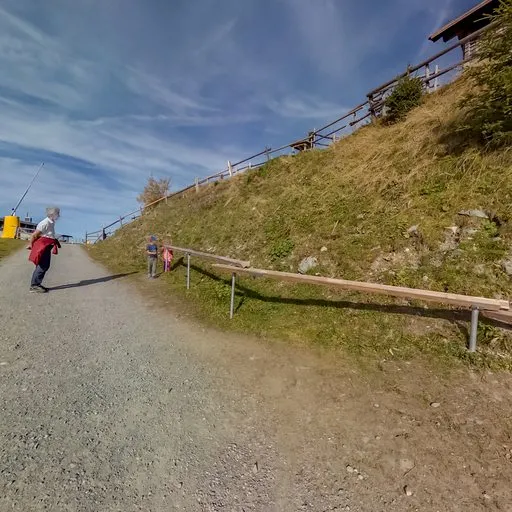
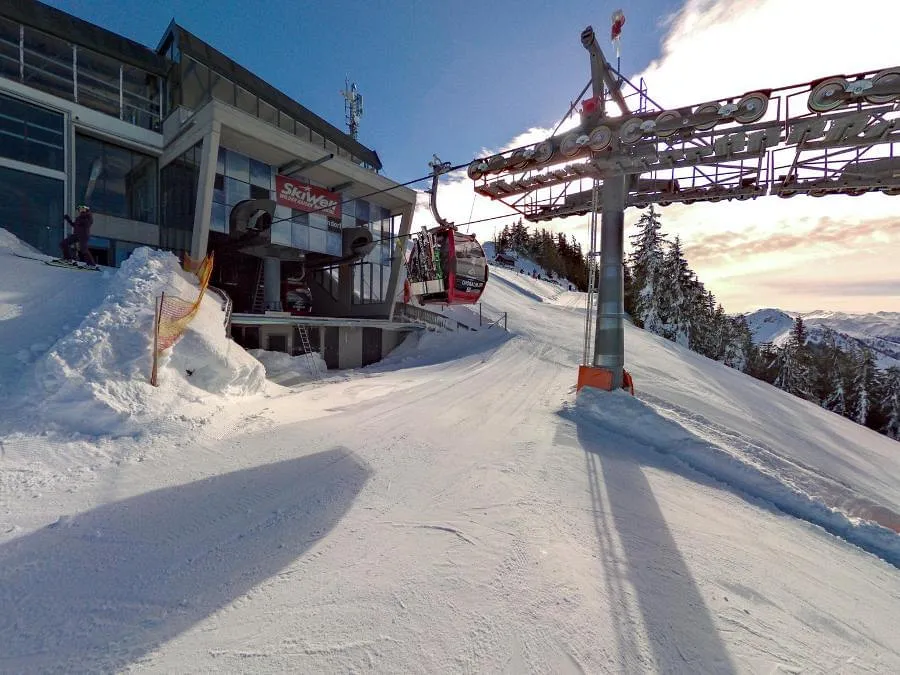
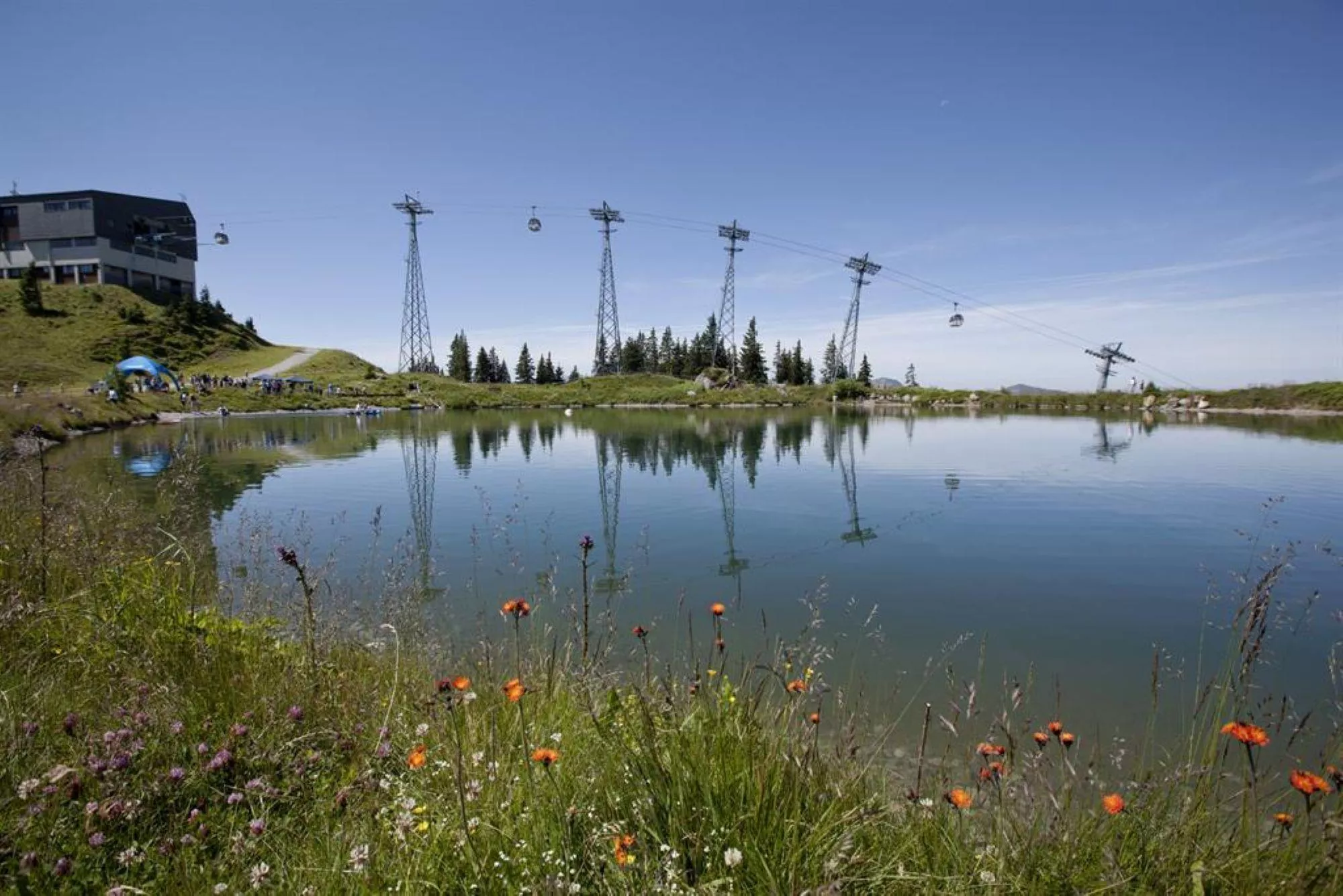
 Cable car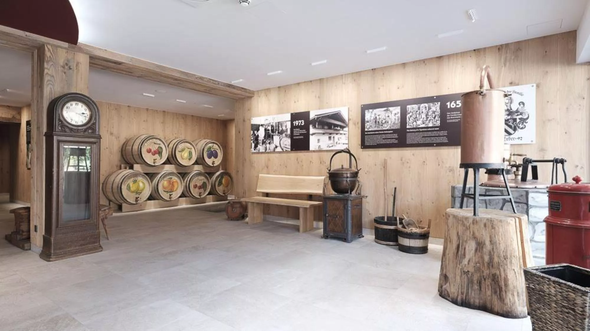



















Curated by Kitzbüheler Alpen Tourismus
Brixen im Thale
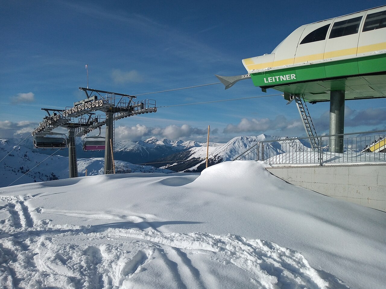
The oldest village of the Brixental at about 800 m, midway between Kitzbühel and the Hohe Salve, with lifts onto the Choralpe and the SkiWelt.
- 10Highlights
- 68Routes
- Featured summit · Hohe Salve
Highlights
5 from neighbouring places
Holzalm
A pasture hut above Brixen im Thale in the Kitzbüheler Alpen, serving hut fare to walkers and skiers on the grass ridges around the village.
Berggasthaus KandlerAlm
A mountain guesthouse above Brixen im Thale, serving Tyrolean dishes to walkers and skiers on the slopes of the Brixental.
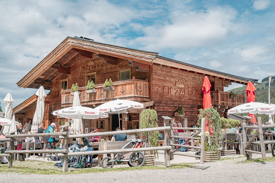
Filzalm
A pasture hut above Brixen im Thale, serving alm fare between the meadows and ski slopes of the SkiWelt walking area.
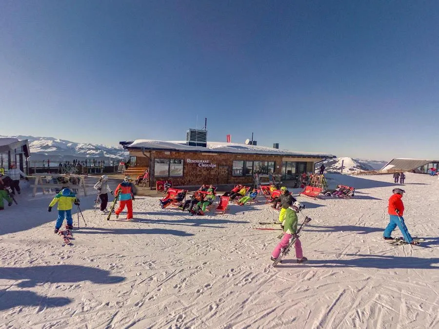
Pano Rundblick Choralpe
An online 360-degree panorama taken from the Choralpe above Westendorf, showing the view across the Brixental.
Pano Rundblick Spoggolino Start
A 360-degree panorama point at the start of the Spoggolino route above Westendorf in the Kitzbüheler Alpen.
Pano rundblick Choralmbahn
A 360-degree panorama viewpoint at the Choralmbahn lift above Westendorf, looking across the Brixental in the Kitzbüheler Alpen.
Panorundblick Talstation Talkaser
A 360-degree panorama viewpoint at the Talkaser station in the Westendorf lift area of the Kitzbüheler Alpen.
Bergbahn Brixen - Hochbrixen
The gondola from Brixen im Thale to Hochbrixen, an entry point to the SkiWelt circuit in winter and to panoramic walking trails in summer.
Schaubrennerei Erber Edelbrand GmbH
A show distillery at Brixen im Thale where the Erber family produces fruit brandies, with tours of the stills and tastings.
RiesenWelt Brixen im Thale
A giant-themed play world at Brixen im Thale, where oversized play stations draw on the local legend of the Brixental giants.
Jochstub'n
2.9 km away, in Ellmau
A hut on a saddle in the SkiWelt terrain above Ellmau, serving regional dishes to skiers and walkers crossing between the valley slopes.
Pano Rundblick Reiterstüberl
3 km away, in Westendorf
A 360-degree online panorama from the Reiterstüberl hut area in the Kitzbüheler Alpen, part of a network of virtual viewpoints.
Gasthof Ruetzenhof
3.2 km away, in Kirchberg in Tirol
A mountain guesthouse above Kirchberg in Tirol, serving home cooking to walkers on the sunny slopes of the Brixental.
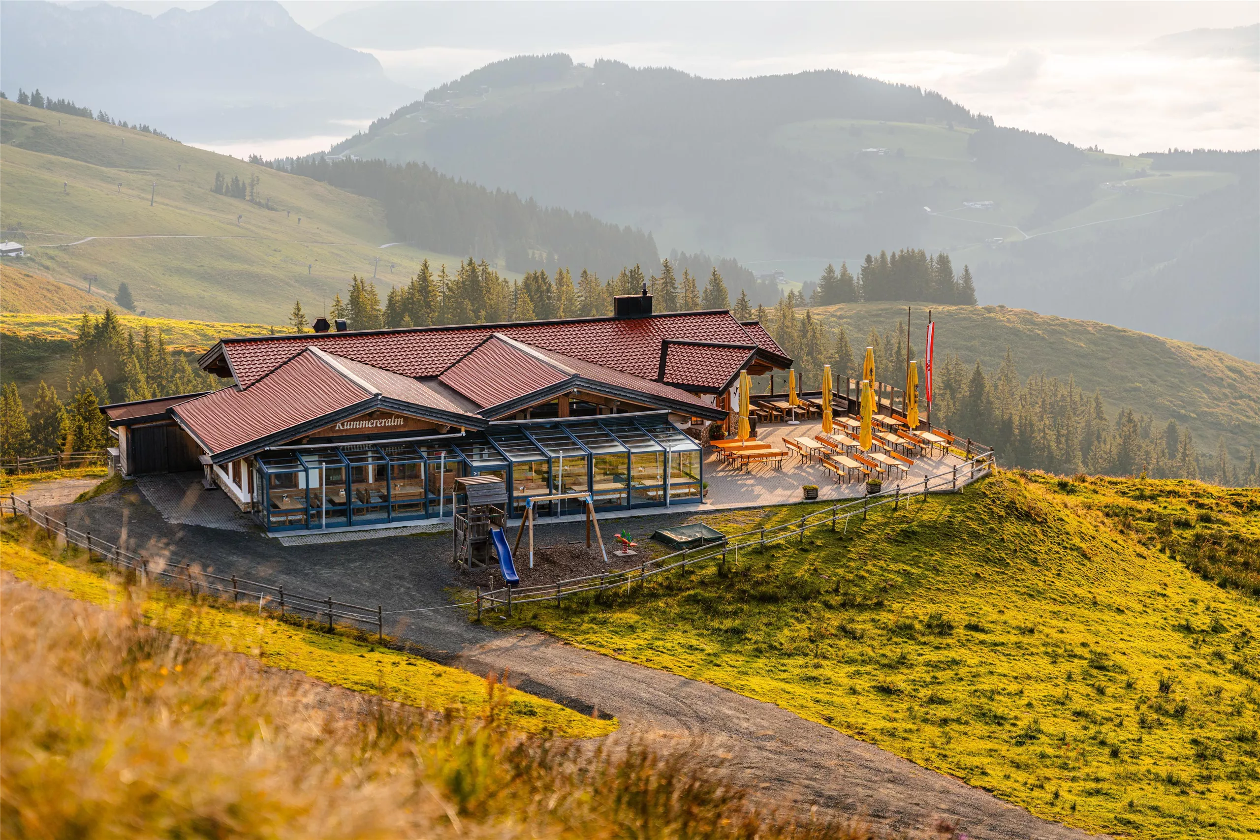
Kummereralm
3.3 km away, in Ellmau
A pasture hut above Ellmau on the SkiWelt side of the valley, serving regional dishes to skiers and summer walkers.
Pano Rundblick Zieplhof
3.4 km away, in Westendorf
A 360-degree panorama viewpoint at the Zieplhof, a farm site on the sunny slopes above the Brixental in the Kitzbüheler Alpen.
Nothing of this kind in Brixen im Thale.
Routes
50 routes, an even mix of activities · see the rest on kitzbueheler-alpen.com ↗
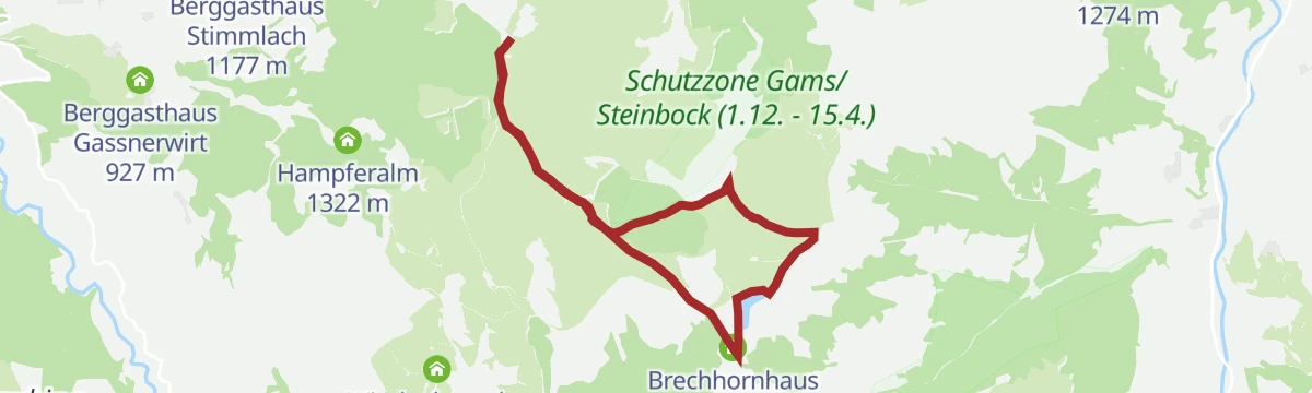
Talkaser Runningtrail
A high running loop from the Alpenrosenbahn top station past the Brechhornhaus and the Kreuzjoechl reservoir, on rolling paths high above Westendorf.
- 6.6 km
- Distance
- 230 m
- Ascent
- 2 h 7 min
- Duration
- 39
- Check-ins
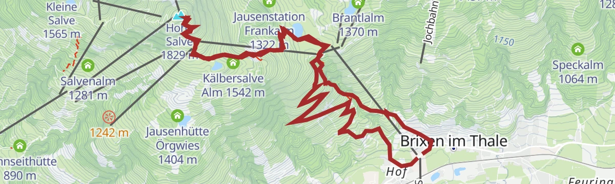
Umgebung: 1. Etappe KAT Walk Family
First KAT Walk Family stage, from Hopfgarten to Brixen im Thale over the Hohe Salve and down past the Filzalm and the Berggasthof Tenn.
- 9.9 km
- Distance
- 649 m
- Ascent
- 5 h 4 min
- Duration
- 147
- Check-ins
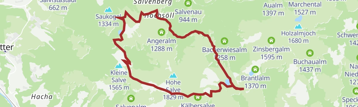
Kaiserblüte - Etappe Alm (Hochsöll-Brandstadl)
A 23 km pasture stage past traditional huts, flowering meadows and small mountain lakes, over the Zinsberg and the Brandstadl up to the Hohe Salve.
- 23.4 km
- Distance
- 1 579 m
- Ascent
- 10 h 36 min
- Duration
- 250
- Check-ins
Pistenskitour Götschenabfahrt 16a in Brixen im Thale
A marked ascent along the edge of a red descent above Brixen im Thale to the Berggasthof Kandleralm, a straightforward piste tour within the SkiWelt.
- 4.3 km
- Distance
- 406 m
- Ascent
- 406 m
- Descent
- 1 h 35 min
- Duration
- 1
- Check-ins
296 | Sun Trail
A short descending singletrack on the slopes above Brixen im Thale, losing height all the way with no climbing on it.
- 2.2 km
- Distance
- 0 m
- Ascent
- 12 min
- Duration
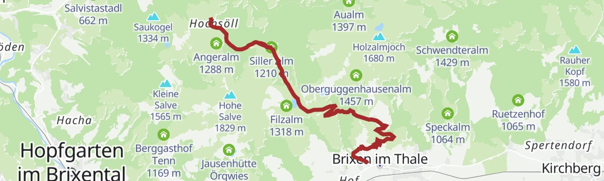
MTB-Tour 350 & 265 Söll-Filzalmsee/Hochbrixen
A climb on service roads from the village to the small moor lake at the top station, by way of the Vordertagleitenhof and the Siller Alm.
- 8.8 km
- Distance
- 666 m
- Ascent
- 1 h 14 min
- Duration
- 29
- Check-ins
Brechhornhaus - Choralpe
A double climb on the alm roads above Westendorf, over the Höhningerscharte to the Talkaser and back past the Innerfleidingalm.
- 30.7 km
- Distance
- 2 015 m
- Ascent
- 5 h 10 min
- Duration
- 51
- Check-ins
2. Etappe KAT Bike Sport+
The second stage of a multi-day route, with 3,435 m of climbing over the Hahnenkamm and Pengelstein past the Melkalm and Fleckalm.
- 74.4 km
- Distance
- 3 435 m
- Ascent
- 9 h 51 min
- Duration
- 158
- Check-ins
Panorama Gipfelwanderung Fleiding
Short summit walk from the Alpenrosenbahn top station over the Fleiding and Laubkogel, big Kitzbühel Alps views for little effort.
- 3.3 km
- Distance
- 231 m
- Ascent
- 1 h 32 min
- Duration
- 29
- Check-ins
Hohe Salve über Salvensee
Steady climb past the Speichersee reservoir and the Kälbersalve Alm to a summit chapel with one of Tirol's widest panoramas, descending via the Jausenhütte Örgwies.
- 6.1 km
- Distance
- 667 m
- Ascent
- 4 h 3 min
- Duration
- 141
- Check-ins
SkiWelt Panoramaweg
Nearly 29 km of high-level walking across the SkiWelt from the Hartkaiser to the Zinsberg, with the summer gondolas taking out much of the climbing.
- 28.8 km
- Distance
- 989 m
- Ascent
- 9 h 18 min
- Duration
- 175
- Check-ins
296 | Sun Trail Brixen
A gentle downhill singletrack in the SkiWelt above the Brixental, ridden from the lifts back towards the valley floor.
- 2.4 km
- Distance
- 0 m
- Ascent
- 13 min
- Duration
MTB-Tour 265 Hochsöll-Brixen im Thale
A high traverse on ski-area service roads below the Hohe Salve, running past the Gründlalm, the Siller Alm and the Poitalm.
- 9.2 km
- Distance
- 198 m
- Ascent
- 1 h 8 min
- Duration
- 24
- Check-ins
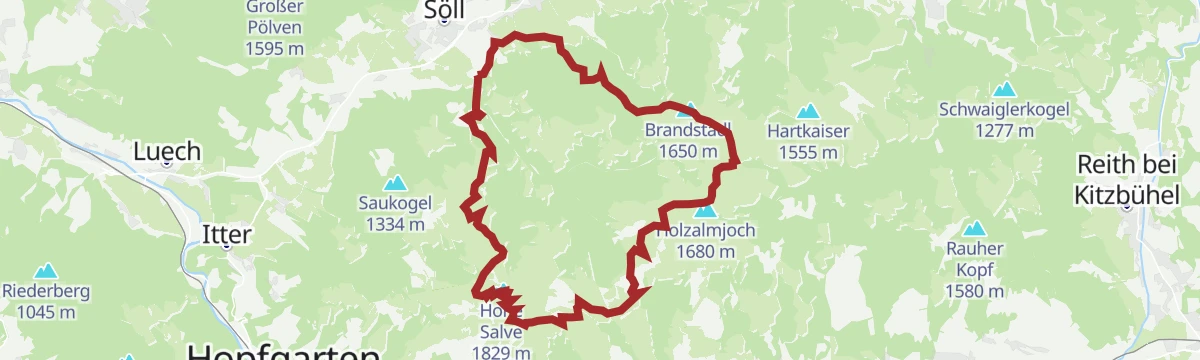
MTB-Tour um die Hohe Salve
A long circuit around the central peak of the SkiWelt, running over to Hopfgarten and back past the SkiWelt Hütte and the Gründlalm.
- 36.5 km
- Distance
- 877 m
- Ascent
- 4 h 4 min
- Duration
- 48
- Check-ins
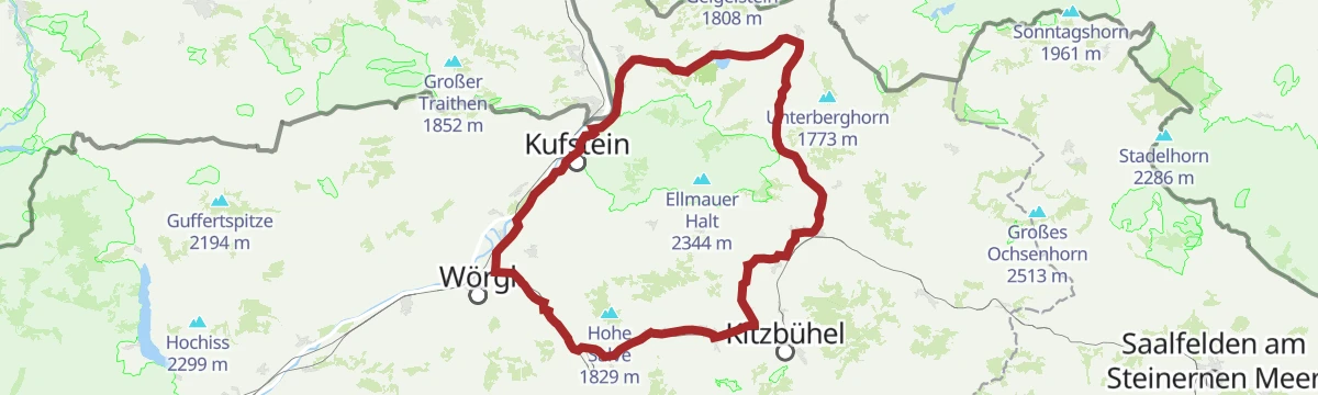
02 - Rund um die Salve und den Kaiser
A long road loop out of Scheffau down to Kufstein and back through Hopfgarten, passing the Erlensee on the return.
- 95.3 km
- Distance
- 1 074 m
- Ascent
- 9 h 28 min
- Duration
- 34
- Check-ins
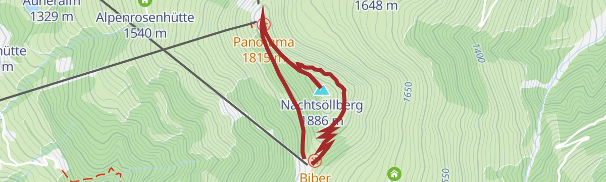
Umgebung: Alpinolino Himmelsteig
Short themed nature trail on the Choralpe above Brixen im Thale, running between the Talkaser and the Nachtsöllberg with hands-on stops for children.
- 2.1 km
- Distance
- 103 m
- Ascent
- 44 min
- Duration
- 27
- Check-ins
Von der KaiserWelt zum Hexenwasser
Family route from the KaiserWelt over the Zinsberg to the Hexenwasser, with play areas for children and a wide outlook.
- 11.0 km
- Distance
- 178 m
- Ascent
- 3 h 28 min
- Duration
- 92
- Check-ins
Wappenweg
Long themed trail from Brixen im Thale to the Hohe Salve, over 1,000 m of climbing past the Filzalm to the summit chapel and its all-round panorama.
- 15.4 km
- Distance
- 1 058 m
- Ascent
- 7 h 4 min
- Duration
- 148
- Check-ins
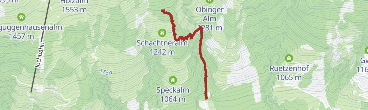
299 | Gseng - Verbindung Sun Trail
An easy connecting track past the Obinger Alm at 1,281 m, linking the trails on the slopes above Brixen im Thale.
- 3.6 km
- Distance
- 220 m
- Ascent
- 35 min
- Duration
265 | Hochbrixen-Hochsöll
A high traverse on service tracks between the two lift-served plateaus above Brixen and Söll, passing the Siller Alm and Poitalm.
- 9.2 km
- Distance
- 564 m
- Ascent
- 1 h 28 min
- Duration
- 24
- Check-ins
Über Hochbrixen zum Hexenwasser
A long forest-road ride from Westendorf over the Hochbrixen slopes to Söll, calling at the Gründlalm, the Siller Alm and the Alpengasthof Hochsöll.
- 36.2 km
- Distance
- 991 m
- Ascent
- 4 h 9 min
- Duration
- 48
- Check-ins
21,14 | Salvenradrunde
A long circuit of the Hohe Salve on cycle paths and valley roads, linking the Brixental with Ellmau on the Wilder Kaiser side.
- 53.9 km
- Distance
- 687 m
- Ascent
- 5 h 25 min
- Duration
- 32
- Check-ins
Alpinolino Himmelsteig
A short kids' adventure path at the Choralpe above Westendorf, where play and quiz stations line the way between the gondola station and the panorama restaurant.
- 2.1 km
- Distance
- 111 m
- Ascent
- 48 min
- Duration
- 27
- Check-ins
Um die Hohe Salve
Rather than climbing the summit, this route from Brixen im Thale circles the Hohe Salve at mid-height, linking the Kraftalm, Gruendlalm and Stoecklalm with steady long-range views.
- 12.2 km
- Distance
- 587 m
- Ascent
- 4 h 21 min
- Duration
- 62
- Check-ins
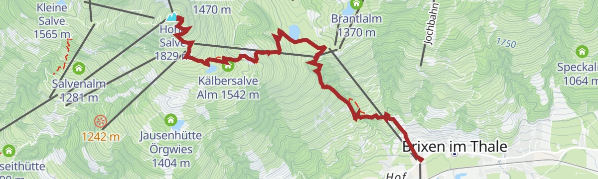
Brixen - Hohe Salve
Climb from Brixen im Thale to the Hohe Salve, whose summit chapel and panorama terrace survey the Wilder Kaiser and the High Tauern.
- 15.1 km
- Distance
- 1 040 m
- Ascent
- 6 h 57 min
- Duration
- 142
- Check-ins
210 | Wiegalm
A short, steep forest-road climb above Brixen im Thale in the Brixental, 645 m of ascent in under 6 km to an alm at 1,508 m.
- 5.8 km
- Distance
- 645 m
- Ascent
- 1 h 29 min
- Duration
- 5
- Check-ins
1. Etappe KAT Bike Sport+
The opening stage of a multi-day mountain-bike route, climbing from Hopfgarten over the Kleine Salve past the Kälbersalve Alm.
- 25.0 km
- Distance
- 1 205 m
- Ascent
- 3 h 23 min
- Duration
- 45
- Check-ins
7 Rund um die Hohe Salve
A valley-road loop right around the Hohe Salve massif, running by way of Kitzbühel, Ellmau and Hopfgarten in the Brixental.
- 57.5 km
- Distance
- 765 m
- Ascent
- 5 h 49 min
- Duration
- 31
- Check-ins
Umgebung: Spoggolino
A 600 m stroll at the Choralpe station built around a giant marble run, with no real height to gain.
- 592 m
- Distance
- 0 m
- Ascent
- 10 min
- Duration
- 10
- Check-ins
Rundwanderweg Jochstubensee
Loop in the SkiWelt hills above Brixen im Thale past the Jochstubnsee and over the Zinsberg, with several alm huts for breaks.
- 8.0 km
- Distance
- 401 m
- Ascent
- 2 h 56 min
- Duration
- 41
- Check-ins
 Zinsberg 1 668 m
 Holzalmjoch 1 641 m
 Brantlalm 1 370 m
- SkiWelt Hütte 1 295 m
 Jochstubnsee 1 638 m
- Bergrestaurant Jochstubn 1 645 m
- +4
Hohe Salve Vertical
Direct vertical challenge from Brixen im Thale straight up to the Hohe Salve summit, over 1,000 m of unrelenting ascent.
- 6.4 km
- Distance
- 1 035 m
- Ascent
- 5 h 54 min
- Duration
- 142
- Check-ins
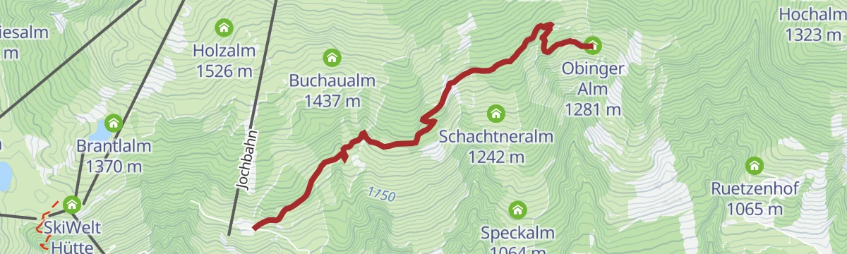
288 | Erweiterung Route nach Brixen i.Th.
A short extension into Brixen im Thale off the Obinger Alm route.
- 7.5 km
- Distance
- 97 m
- Ascent
- 45 min
- Duration
Salvenradrunde
A long, mostly flat circuit of the Hohe Salve on valley roads, linking Westendorf, Brixen im Thale and Ellmau at around 800 m.
- 62.4 km
- Distance
- 644 m
- Ascent
- 6 h 9 min
- Duration
- 23
- Check-ins
Salvenradrunde
A road and cycle-path round of the Hohe Salve from Hopfgarten, passing the Ellmauer Alm and the Waldhof Alm on the way.
- 62.7 km
- Distance
- 1 034 m
- Ascent
- 6 h 32 min
- Duration
- 31
- Check-ins
Spoggolino
Tiny discovery loop for children at the Choralpe top station above Westendorf, level and stroller-friendly with panoramic benches.
- 592 m
- Distance
- 2 m
- Ascent
- 9 min
- Duration
- 10
- Check-ins
Gampenkogel
Panoramic ridge walk from the Talkaser lift station past the Speicherteich Kreuzjöchl and the Brechhornhaus, collecting the Laubkogel before an easy summit finish.
- 6.9 km
- Distance
- 409 m
- Ascent
- 2 h 51 min
- Duration
- 40
- Check-ins
Almrosenweg
A big day above Brixen im Thale through slopes thick with alpenroses in early summer, linking the Choralpe panorama restaurant, the Brechhornhaus and the Wiegalm.
- 23.6 km
- Distance
- 1 480 m
- Ascent
- 10 h 8 min
- Duration
- 50
- Check-ins
210 | Wiegalm Trail Runde
A round to the Wiegalm at 1,508 m above Kirchberg, returning past the Skiwiege and the Erlensee.
- 25.0 km
- Distance
- 794 m
- Ascent
- 2 h 58 min
- Duration
- 19
- Check-ins
Rund um die Hohe Salve Grand Tour
The long version of the loop around the Salve massif, taking in Ellmau and the villages of the Brixental over more than 80 km.
- 84.8 km
- Distance
- 1 044 m
- Ascent
- 8 h 31 min
- Duration
- 28
- Check-ins
Brixner Dorfrunde
Easy village loop around Brixen im Thale on lanes and meadow paths, a gentle introduction to the Brixental's scenery.
- 5.9 km
- Distance
- 220 m
- Ascent
- 1 h 56 min
- Duration
- 6
- Check-ins
Höhenrundwanderung Kreuzjöchlsee
High loop from the Talkaser above Westendorf past the Brechhornhaus and the Kreuzjöchl reservoir, crossing the Kreuzjoch with steady panoramas.
- 7.5 km
- Distance
- 256 m
- Ascent
- 2 h 23 min
- Duration
- 39
- Check-ins
Brechhorn
Big Kitzbühel Alps round from the Alpenrosenbahn over the Kreuzjoch and the Höhningerscharte to a 2,032 m grass summit, with the Brechhornhaus for a rest on the way.
- 31.9 km
- Distance
- 1 608 m
- Ascent
- 11 h 45 min
- Duration
- 47
- Check-ins
211 | Kandleralm - Choralpe
A long forest-road climb of over 1,000 m past the Karalm and Hocheggalm to the panorama restaurant at 1,809 m.
- 9.0 km
- Distance
- 1 043 m
- Ascent
- 2 h 22 min
- Duration
- 12
- Check-ins
Wilde Kaiser Rennrad Runde
A full day on the road from Scheffau round to Walchsee and back through Kufstein, a circuit of the whole massif on valley roads.
- 95.3 km
- Distance
- 914 m
- Ascent
- 9 h 19 min
- Duration
- 24
- Check-ins
Kreuzweg zur Brixenbachalm
Stations-of-the-cross path from Brixen im Thale's Winkl quarter up to the Brixenbachalm, a short, steady climb to a family-friendly hut.
- 4.4 km
- Distance
- 292 m
- Ascent
- 1 h 58 min
- Duration
- 1
- Check-ins
Söll-Filzalmsee
From Söll the route follows the Stampfangerbach up to the moor pools of the Filzalmsee, then continues to the Hexenwasser play area at Hochsöll.
- 9.0 km
- Distance
- 606 m
- Ascent
- 3 h 16 min
- Duration
- 21
- Check-ins
Umgebung: 2. Etappe KAT Walk Family
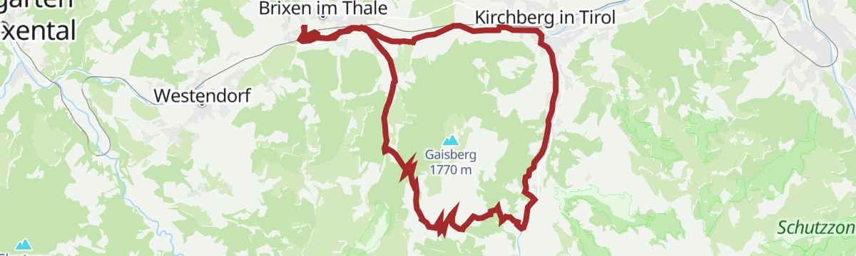
Second KAT Walk Family stage, from Brixen im Thale to Kirchberg in Tirol over the Gaisberg and the Gaisbergjoch, passing the Obergaisbergsee.
- 14.8 km
- Distance
- 961 m
- Ascent
- 6 h 30 min
- Duration
- 36
- Check-ins
Trailtour Rauher Kopf - Sun Trail
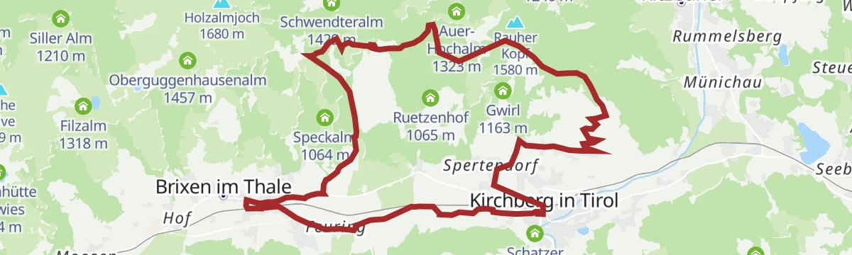
A trail tour to the Rauher Kopf above Brixen im Thale, returning on the sunny side by the Obinger Alm.
- 20.8 km
- Distance
- 845 m
- Ascent
- 2 h 39 min
- Duration
- 2
- Check-ins
9 Windau-Tour
A 52 km road tour from Kirchberg to Kitzbühel and out to the Erlensee, with the Gasthaus Steinberg at its far end.
- 52.2 km
- Distance
- 835 m
- Ascent
- 5 h 25 min
- Duration
- 21
- Check-ins
Die Wiegalm
Hike from Brixen im Thale's Winkl quarter up past the Brixenbachalm to the Wiegalm, a hut round on the valley's quieter side.
- 10.5 km
- Distance
- 706 m
- Ascent
- 4 h 45 min
- Duration
- 8
- Check-ins
No routes of this kind in Brixen im Thale yet.
The region's own picks
Featured route
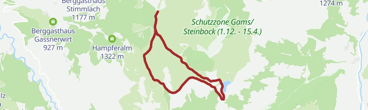
Talkaser Runningtrail
A high running loop from the Alpenrosenbahn top station past the Brechhornhaus and the Kreuzjoechl reservoir, on rolling paths high above Westendorf.
Planning a trip to Brixen im Thale?
Everything else Tyrol has, in one place


Take Brixen im Thale with you into the mountains
Every route on this page with 3D terrain, GPX navigation and offline maps — including the valleys with no signal.
Data sources
- Official website: kitzbueheler-alpen.com ↗
- Routes and highlights: Kitzbüheler Alpen Tourismus, Wilder Kaiser Tourismus, Kitzbühel Tourismus, Kaiserwinkl Tourismus, Kufsteinerland
- Published as open data by the tourist boards named above.
- Region summary generated from the board's own material.
