
 Historic site


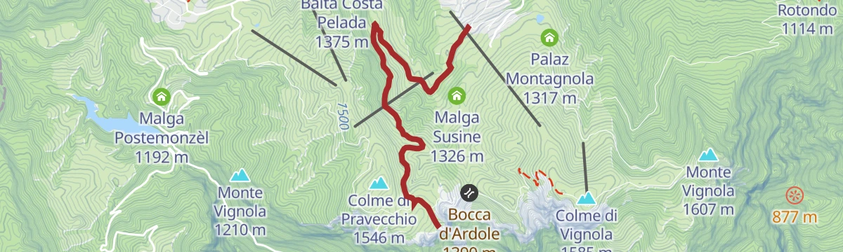
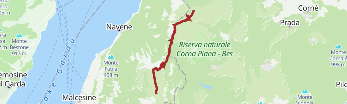
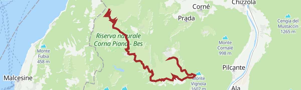

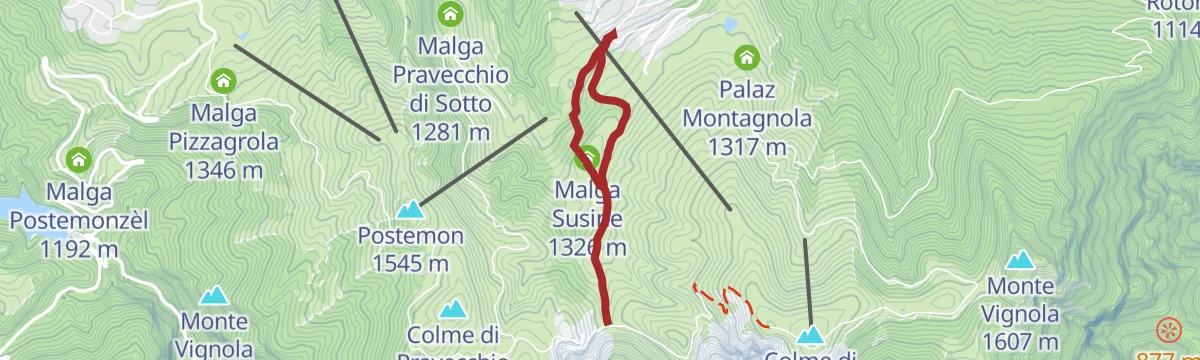





Curated by APT Rovereto Vallagarina Monte Baldo
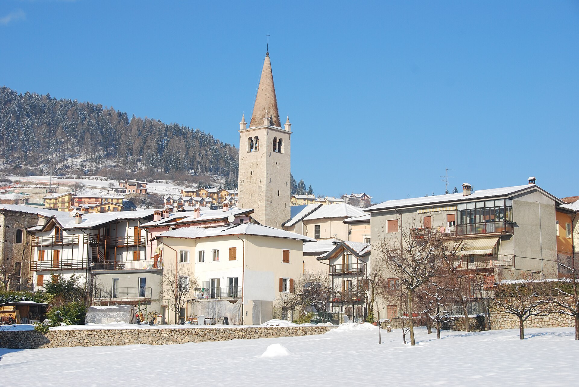
Brentonico
Terraced comune on the flank of Monte Baldo, with a local nature park, a botanical garden and a fossil museum on the ridge.
- 14Highlights
- 60Routes
- Featured summit · Monte Altissimo di Nago
Highlights
1 from neighbouring places
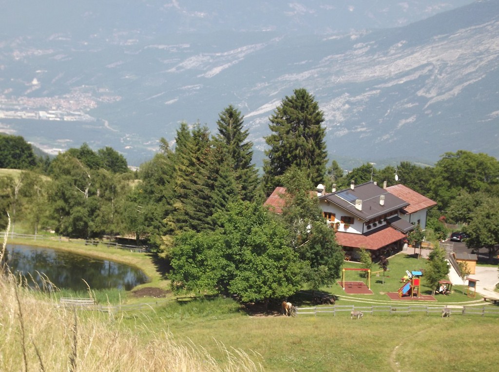
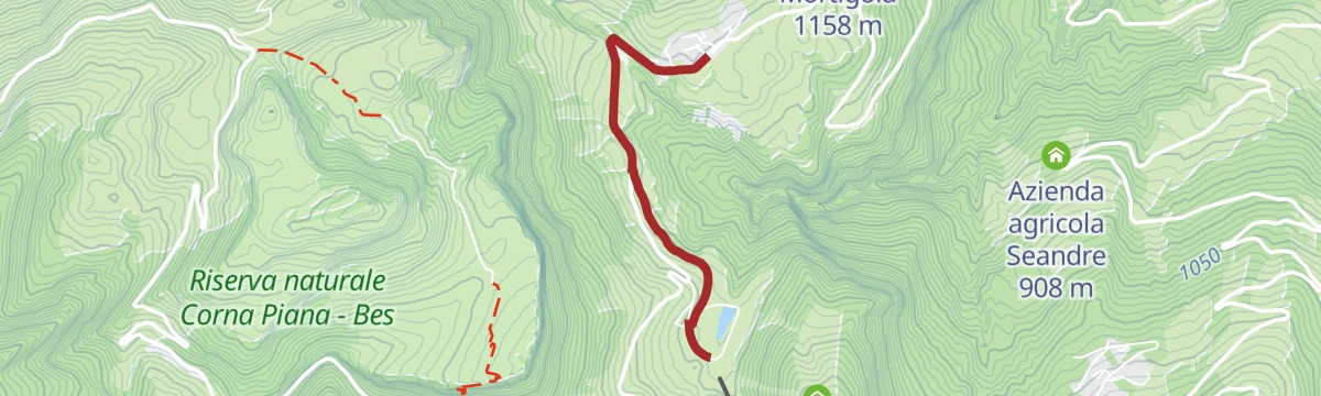
Agritur Malga Mortigola
A farm inn on the Baldo pastures above Brentonico, on the trails to the Altissimo.
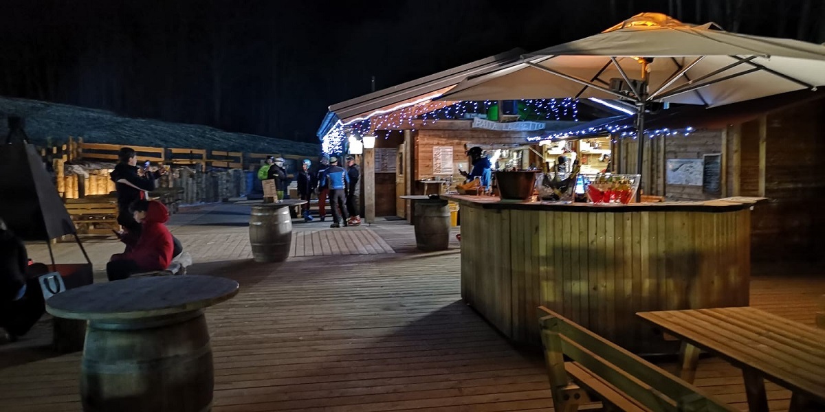
Baita del Trett
A hut on the San Valentino side of Monte Baldo, among the summer pastures.
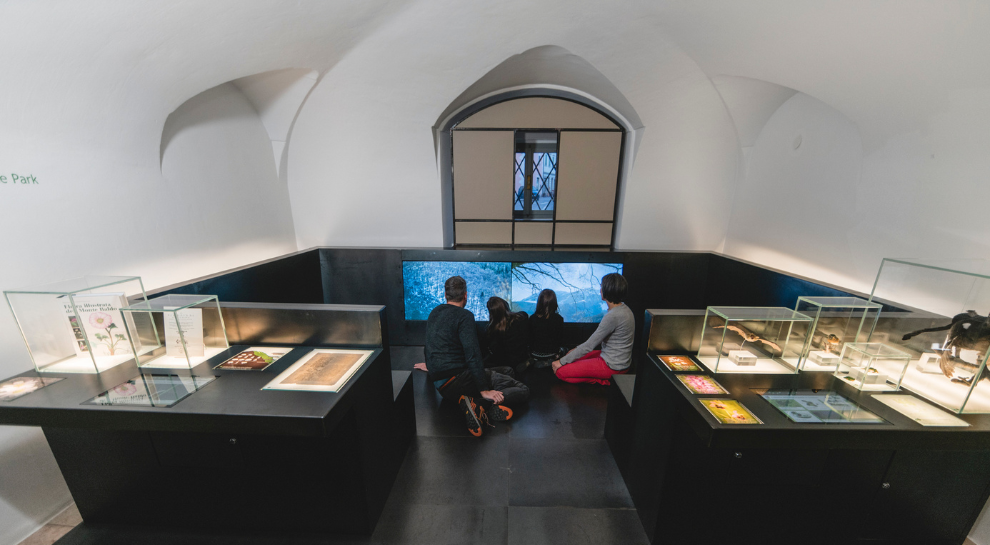
Casa del Parco Naturale Locale Monte Baldo
The visitor centre of the Monte Baldo local nature park, at Brentonico on the plateau above the Adige valley.
Naturpark Monte Baldo
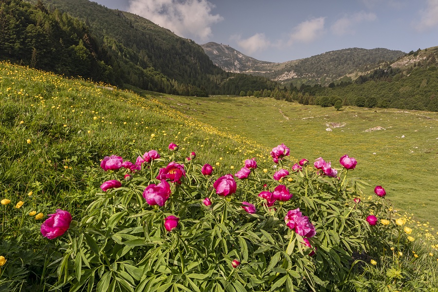
A local nature park on the Trentino flank of Monte Baldo, long known to botanists for its endemic plants.
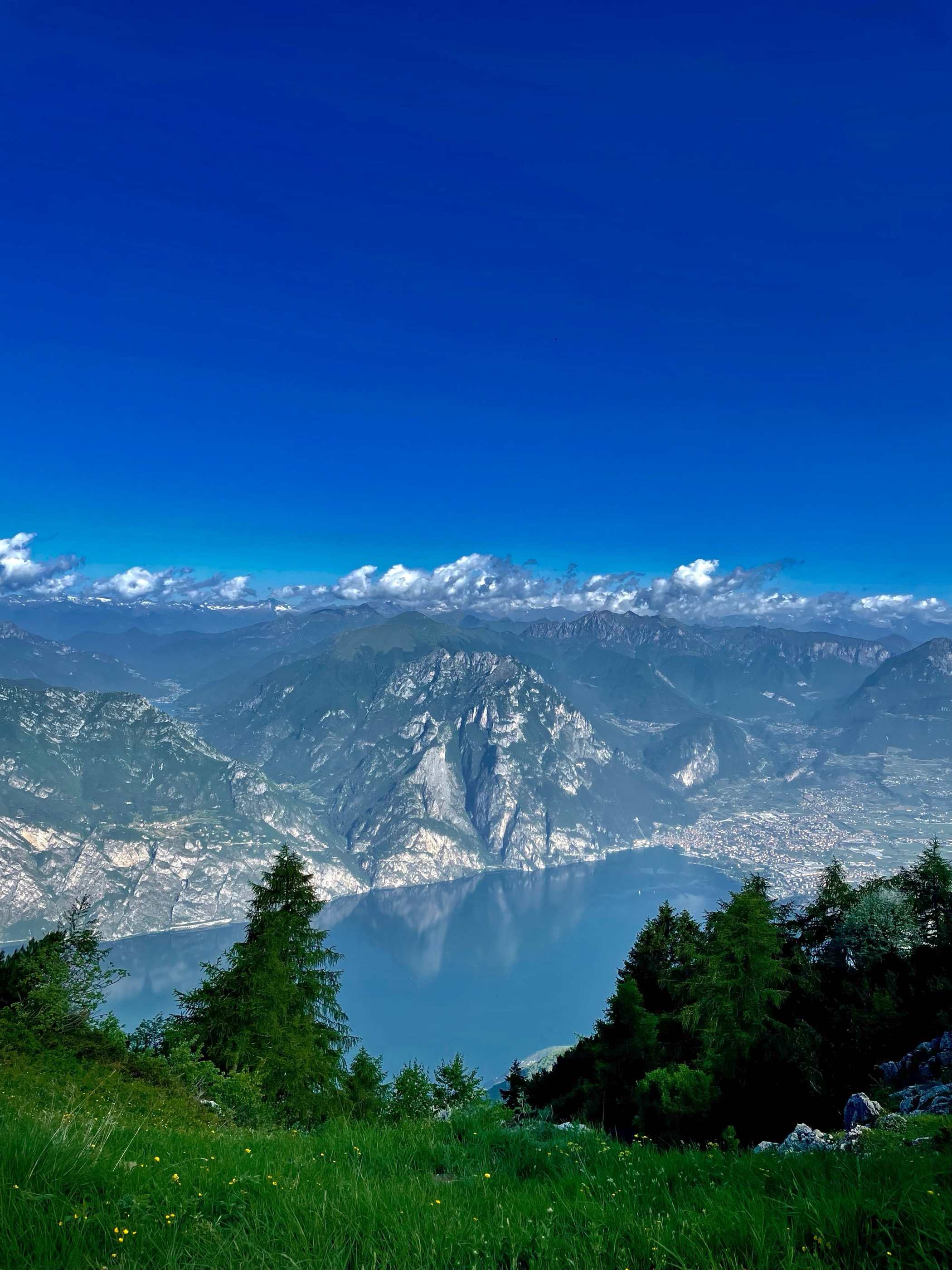
Rifugio Altissimo Damiano Chiesa
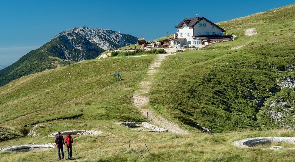
A hut just below the Altissimo di Nago, the northern summit of Monte Baldo, looking down on Lake Garda.
Rifugio Malga Campei
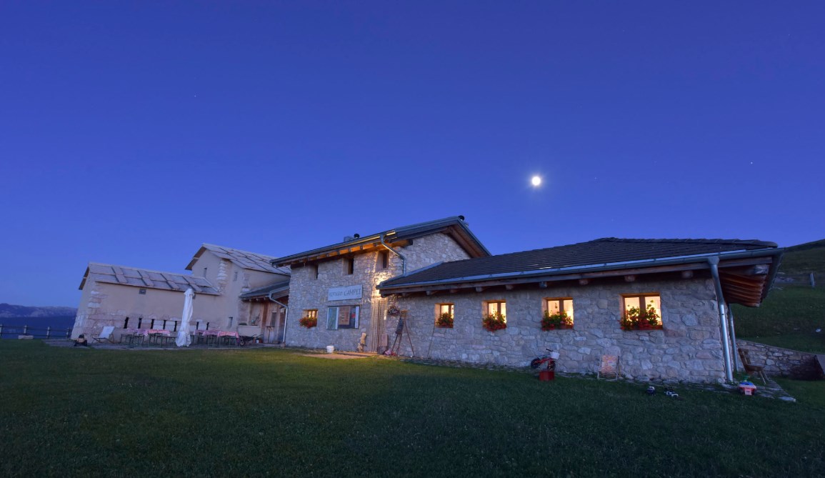
A hut on the Campei pastures of Monte Baldo, on the path from Brentonico to the Altissimo.
Botanischer Garten und Fossilien-Museum
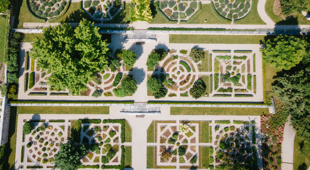
A botanic garden of Monte Baldo's flora at Brentonico, with a collection of the fossils quarried nearby.
Giardino Botanico e Museo del Fossile
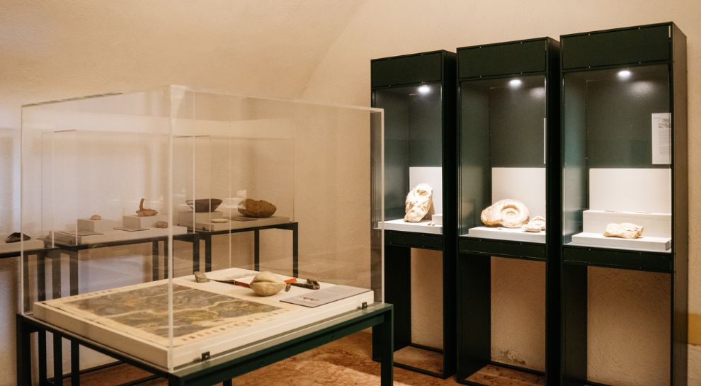
A botanical garden and fossil museum at Brentonico, on the Monte Baldo plateau above the Adige valley.
Skill Park Polsa
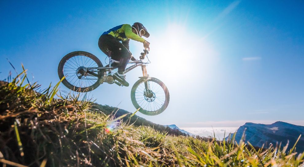
A mountain-bike skills area at Polsa on the Baldo slopes, with graded lines and jumps.
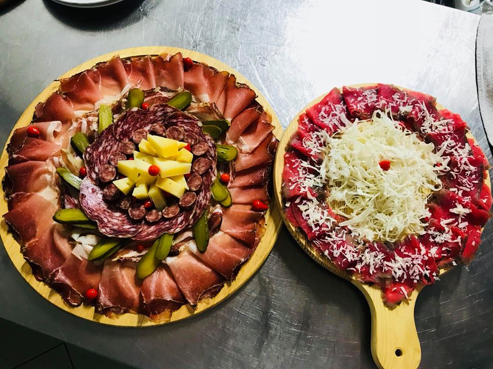
Agritur El Casel Malga Mortigola
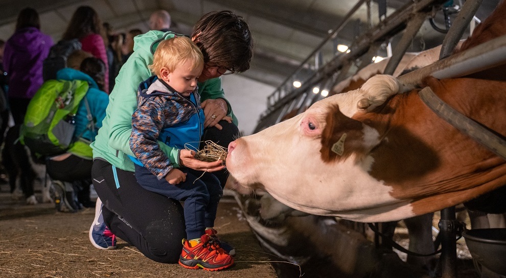
A working dairy on the Mortigola pastures of Monte Baldo, serving what it makes.
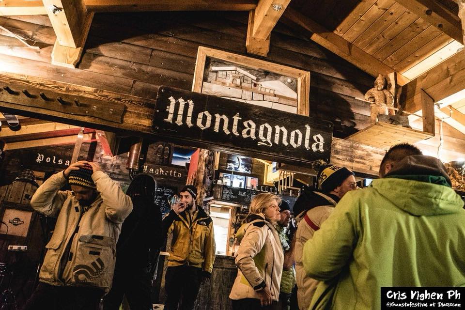
Baita Montagnola
A hut on the Montagnola meadows above Brentonico, on the Baldo ski and walking trails.
Chiesa dei SS. Pietro e Paolo
The parish church of Brentonico, on the terrace above the Adige.
Die Burg von Sabbionara d’Avio
7 km away, in Avio
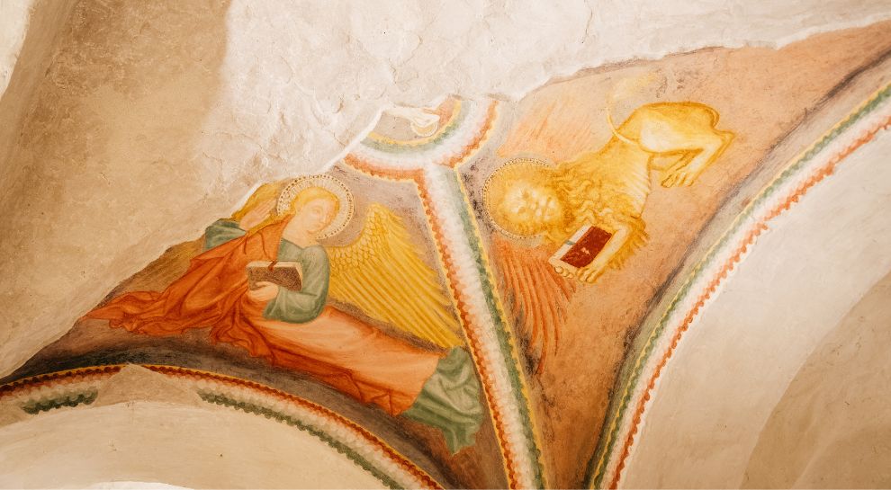
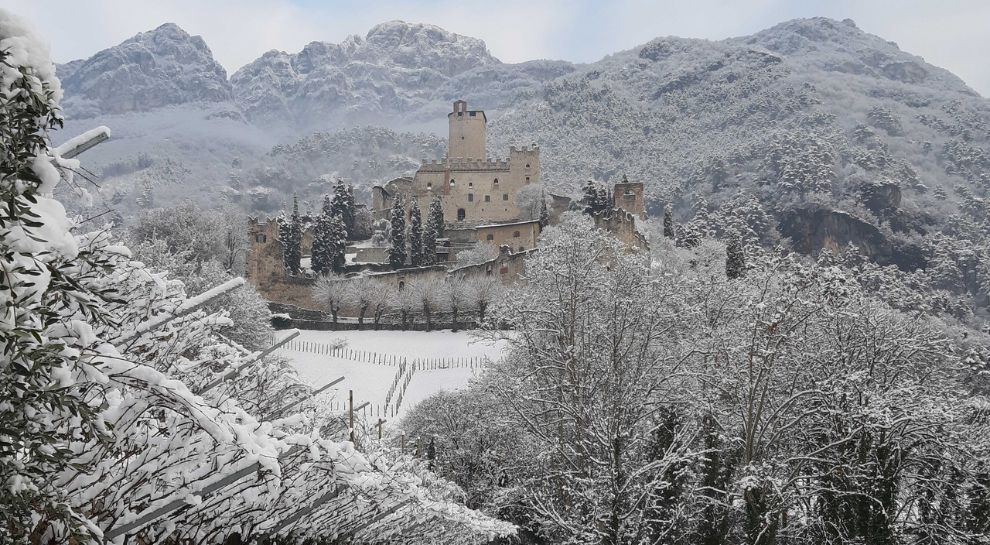
The Sabbionara castle at Avio, its guardhouse painted with fourteenth-century scenes of cavalry.
Nothing of this kind in Brentonico.
Routes
50 routes, an even mix of activities · see the rest on visitrovereto.it ↗
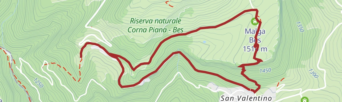
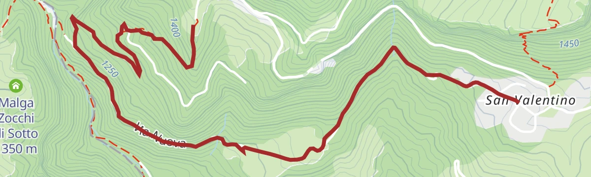
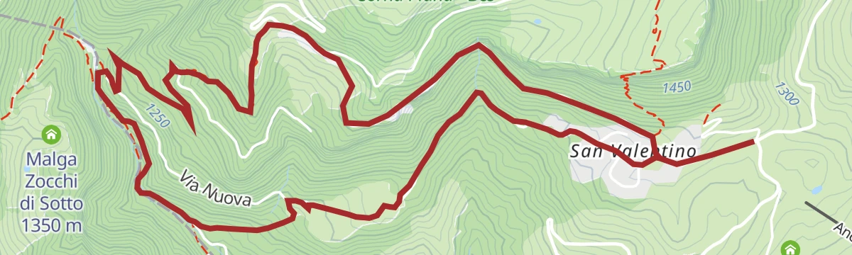
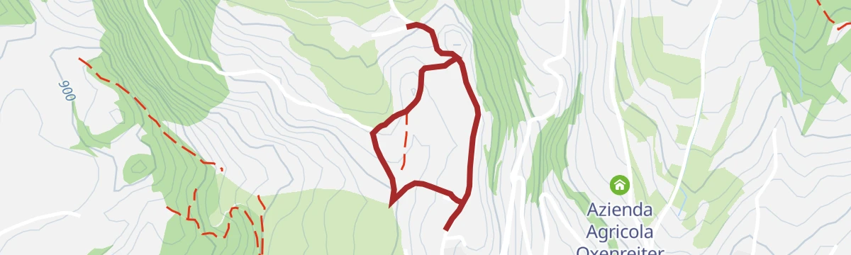
Brentonico Ring - S. Valentino Variant - Festa | 1943
A variant of the Brentonico ring from the San Valentino pass down towards San Giacomo on Monte Baldo.
- 6.6 km
- Distance
- 59 m
- Ascent
- 2 h 5 min
- Duration
- 24
- Check-ins
Open route APT Rovereto Vallagarina Monte BaldoTrekking to Monte Altissimo
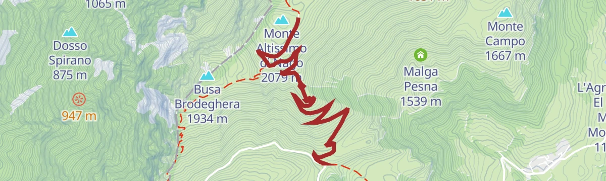
A climb on the old military dirt road to the top of Monte Altissimo di Nago, hairpin after hairpin above the Brentonico plateau, with Lake Garda and the Adamello beyond.
- 8.5 km
- Distance
- 452 m
- Ascent
- 3 h 14 min
- Duration
- 196
- Check-ins
 Monte Altissimo di Nago 2 079 m
 Rifugio Altissimo "Damiano Chiesa" 2 059 m
- Albergo Rifugio Graziani 1 626 m
 Bocca del Creer 1 617 m
Open route APT Rovereto Vallagarina Monte BaldoThe Baldo ridges between Altissimo and Telegrafo
A ridge traverse from the Damiano Chiesa hut on Monte Altissimo to Monte Maggiore by the Telegrafo hut, rocky and uneven in places.
- 15.6 km
- Distance
- 1 102 m
- Ascent
- 7 h 5 min
- Duration
- 315
- Check-ins
- Monte Altissimo di Nago 2 079 m
- Cima Telegrafo 2 200 m
- Cima delle Pozzette 2 132 m
- Punta Pettorina 2 192 m
- Dosso Moreont Alto 1 522 m
- Rifugio Altissimo "Damiano Chiesa" 2 059 m
- +8
Open route APT Rovereto Vallagarina Monte BaldoTourist route Pianeti - trail no. 5
A ride from Passo di San Valentino that drops to the pastures below and climbs gently back past the Rifugio Fos-ce.
- 10.4 km
- Distance
- 410 m
- Ascent
- 1 h 19 min
- Duration
- 30
- Check-ins
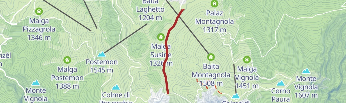
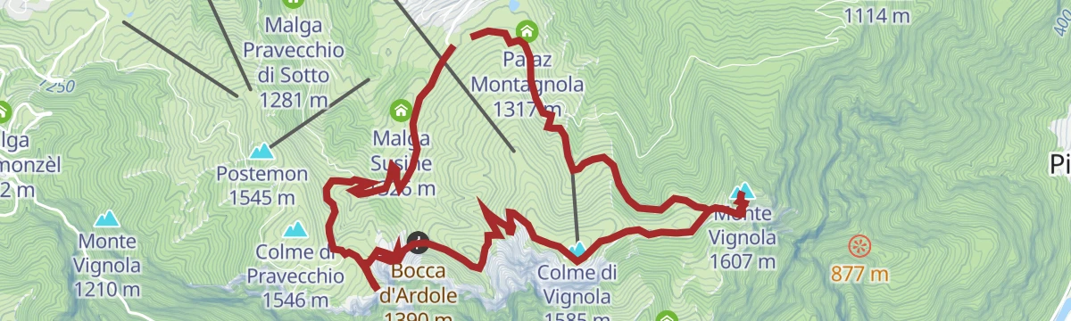
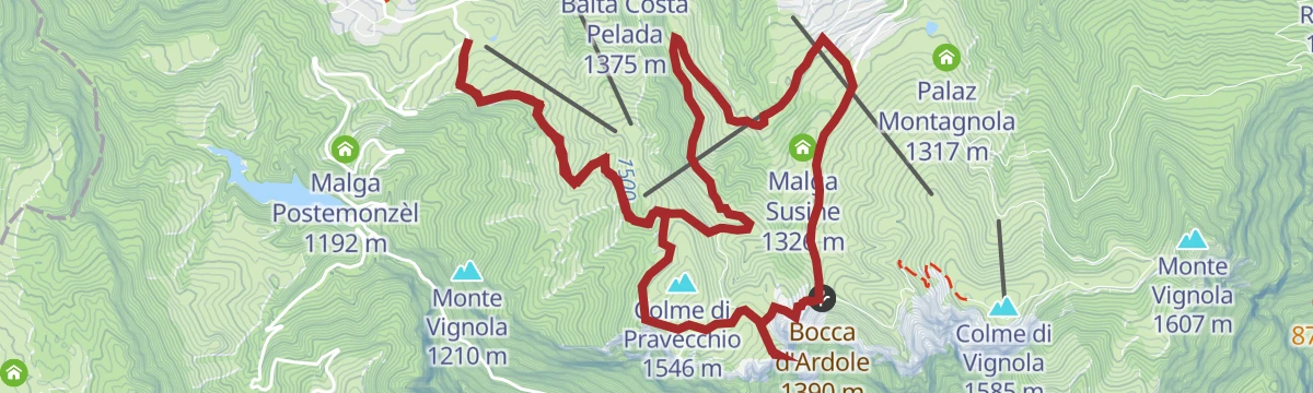
Open route APT Rovereto Vallagarina Monte BaldoFamily Bike Polsa Vignola
A family tour on the Brentonico plateau from Camping Polsa to Malga Vignola, dropping past Malga Susine to the Bocca d'Ardole.
- 7.7 km
- Distance
- 287 m
- Ascent
- 57 min
- Duration
- 46
- Check-ins
- Corno Paura 1 539 m
- Colme di Vignola 1 585 m
- Bocca d'Ardole 1 390 m
- Malga Vignola 1 451 m
- Casera di Malga Vignola 1 420 m
- Malga Susine 1 326 m
- +1
Open route APT Rovereto Vallagarina Monte BaldoMonte BaldoTour
A big road day from the Garda shore onto the Baldo ridge, crossing Bocca di Navene, Bocca del Creer and the Passo di San Valentino.
- 116.8 km
- Distance
- 2 329 m
- Ascent
- 12 h 33 min
- Duration
- 457
- Check-ins
- Albergo Rifugio Graziani 1 626 m
- Bocca del Creer 1 617 m
- Bocca di Navene 1 425 m
- Malga Canalece 1 574 m
- Chalet Novezza 1 386 m
- Passo di San Valentino 1 314 m
- +23
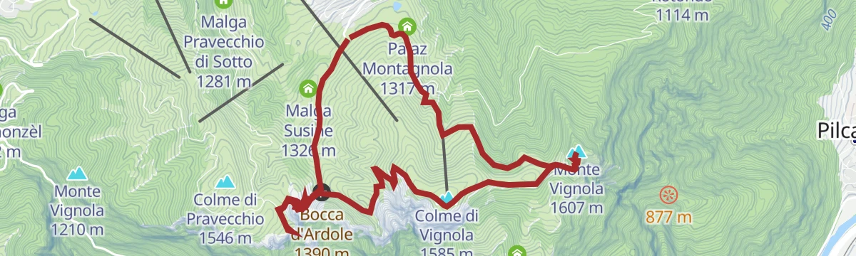
Open route Garda TrentinoPolsa - Monte Vignola
A wide, evenly graded dirt road from Polsa up Monte Vignola, crossing meadows held by marmot colonies, with the Adige valley on both sides.
- 3.4 km
- Distance
- 299 m
- Ascent
- 1 h 20 min
- Duration
- 24
- Check-ins
- Monte Vignola 1 607 m
- Malga Vignola 1 451 m
- Casera di Malga Vignola 1 420 m
- Palaz Montagnola 1 317 m
Open route APT Rovereto Vallagarina Monte BaldoFrom Passo San Valentino to Monte Altissimo, among huts and refuges
A hike from the San Valentino pass towards Monte Altissimo, linking the Trett, Fos-Ce and Graziani huts with the Damiano Chiesa refuge, past stone-roofed pasture huts.
- 10.5 km
- Distance
- 781 m
- Ascent
- 3 h 44 min
- Duration
- 171
- Check-ins
- Rifugio Altissimo "Damiano Chiesa" 2 059 m
- Albergo Rifugio Graziani 1 626 m
- Bocca del Creer 1 617 m
- Passo di San Valentino 1 314 m
- Baita al Trett 1 316 m
- Rifugio Fos-ce 1 435 m
Open route APT Rovereto Vallagarina Monte BaldoUn Balcone sul Garda
A ridge route linking Tratto Spino above Malcesine with Monte Altissimo di Nago, long enough to be split over two days.
- 17.6 km
- Distance
- 1 189 m
- Ascent
- 7 h 59 min
- Duration
- 278
- Check-ins
- Monte Altissimo di Nago 2 079 m
- Monte Grande 1 779 m
- Dosso Moreont Alto 1 522 m
- Rifugio Altissimo "Damiano Chiesa" 2 059 m
- Albergo Rifugio Graziani 1 626 m
- Bocca del Creer 1 617 m
- +5
Open route APT Rovereto Vallagarina Monte BaldoTour of Monte Baldo
A high traverse of the Baldo ridge by Corno della Paura, Passo di San Valentino and Bocca del Creer, ending on the balcony at Bocca di Navene.
- 84.4 km
- Distance
- 2 093 m
- Ascent
- 9 h 28 min
- Duration
- 187
- Check-ins
- Albergo Rifugio Graziani 1 626 m
- Bocca del Creer 1 617 m
- Bocca di Navene 1 425 m
- Malga Canalece 1 574 m
- Passo di San Valentino 1 314 m
- Bocca di Navene 1 427 m
- +14
Open route APT Rovereto Vallagarina Monte BaldoPolsa - Corno della Paura
A short climb from Polsa across pasture and beech wood to the cliffs of Corno della Paura, where chamois work the rock and Great War remains lie scattered about.
- 2.5 km
- Distance
- 230 m
- Ascent
- 1 h 4 min
- Duration
- 23
- Check-ins
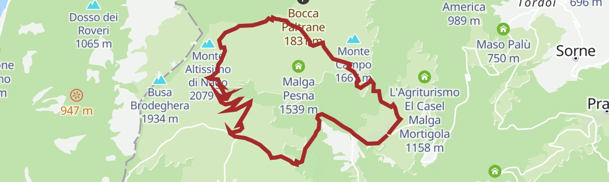
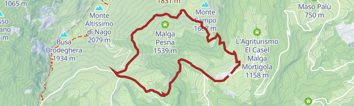
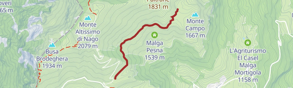
Open route APT Rovereto Vallagarina Monte BaldoFrom Malga Campo to Rifugio Altissimo above Lake Garda
A walk on the Trentino flank of Monte Baldo up to the Damiano Chiesa hut, inside a local reserve known since the 15th century for the range of its plants.
- 9.4 km
- Distance
- 481 m
- Ascent
- 3 h 30 min
- Duration
- 158
- Check-ins
- Rifugio Altissimo "Damiano Chiesa" 2 059 m
- Albergo Rifugio Graziani 1 626 m
- Bocca del Creer 1 617 m
- Bocca Paltrane 1 831 m
- Malga Campo 1 638 m
Open route Garda TrentinoFrom the Monte Baldo Cable Car to Garda | Monte Baldo - Altissimo 767
A long traverse from the Monte Baldo cable car above Malcesine to the top of Monte Altissimo, with Garda, the Brentonico plateau and the Adige valley in turn.
- 27.0 km
- Distance
- 622 m
- Ascent
- 9 h 21 min
- Duration
- 266
- Check-ins
- Dos de la Cronèla 706 m
- Rifugio Altissimo "Damiano Chiesa" 2 059 m
- Albergo Rifugio Graziani 1 626 m
- Bocca del Creer 1 617 m
- Baita dei Forti 1 745 m
- Bocca di Navene 1 425 m
- +9
Open route APT Rovereto Vallagarina Monte BaldoMori - Avio - San Valentino
A long road loop over the Passo San Giovanni and up the Valle dei Molini to the Passo di San Valentino on the north side of Baldo.
- 73.6 km
- Distance
- 1 814 m
- Ascent
- 8 h 14 min
- Duration
- 96
- Check-ins
- Passo di San Valentino 1 314 m
- Tourist Information 68 m
- Soardi Center 212 m
- cappella di San Rocco 213 m
- Passo San Giovanni 272 m
- Baita al Trett 1 316 m
- +11
Open route Garda TrentinoBrentonico Ring - Polsa - Corno della Paura Variant | 1947
A road section of the Brentonico Ring, trail 1947, running from Polsa out to the viewpoint of Corno della Paura.
- 4.2 km
- Distance
- 257 m
- Ascent
- 1 h 24 min
- Duration
- 20
- Check-ins
Open route APT Rovereto Vallagarina Monte BaldoGardaTrek - Top Loop 7: Back to the water
The last stage of the GardaTrek, from the Damiano Chiesa hut along a balcony above the lake to the rotating cable car, with chamois on the walls alongside.
- 7.6 km
- Distance
- 333 m
- Ascent
- 3 h 7 min
- Duration
- 143
- Check-ins
- Monte Grande 1 779 m
- Rifugio Altissimo "Damiano Chiesa" 2 059 m
- Baita dei Forti 1 745 m
- Bocca di Navene 1 425 m
- La Capannina 1 766 m
- Bocca di Navene 1 427 m
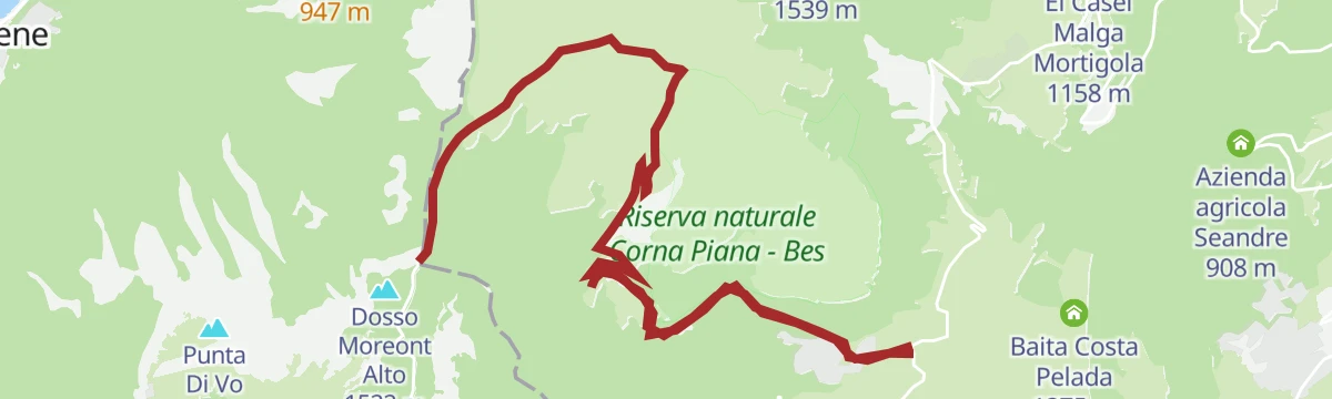
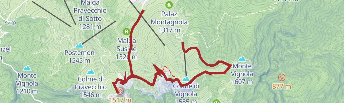
Open route Garda TrentinoSentiero della Pace 12): Rifugio Damiano Chiesa to Polsa
Stage 12 of the Peace Path, from the Damiano Chiesa hut down to the Graziani hut and on by Bocca del Creer and the Corna Piana reserve to Polsa.
- 17.4 km
- Distance
- 433 m
- Ascent
- 5 h 52 min
- Duration
- 213
- Check-ins
- Corno Paura 1 539 m
- Colme di Vignola 1 585 m
- Rifugio Altissimo "Damiano Chiesa" 2 059 m
- Albergo Rifugio Graziani 1 626 m
- Bocca del Creer 1 617 m
- Passo di San Valentino 1 314 m
- +7
Open route APT Rovereto Vallagarina Monte BaldoAscent Avio - San Valentino
A road climb from the Adige floor to the Passo di San Valentino, steepest in its middle third and passing the Prà della Stua reservoir.
- 15.0 km
- Distance
- 1 303 m
- Ascent
- 2 h 19 min
- Duration
- 25
- Check-ins
- Passo di San Valentino 1 314 m
- Baita al Trett 1 316 m
- Malga Postemonzèl 1 192 m
- Centralina Comune di Avio 300 m
Open route APT Rovereto Vallagarina Monte BaldoWalk through the pastures of Polsa
A dirt track from Polsa di Brentonico up through pasture and wood to Bocca d'Ardole and back, wide enough for a trekking pushchair.
- 3.5 km
- Distance
- 136 m
- Ascent
- 1 h 10 min
- Duration
- 17
- Check-ins
Open route APT Rovereto Vallagarina Monte BaldoAscent to Monte Altissimo | 767
A steady climb on the mule track laid out in 1915 to the top of Monte Altissimo, with the Brentonico plateau, the Lessinia and Lake Garda opening below.
- 4.1 km
- Distance
- 432 m
- Ascent
- 1 h 49 min
- Duration
- 142
- Check-ins
Open route APT Rovereto Vallagarina Monte BaldoValentine's Day Ring - Prà Alpesina | 1950s
A long loop from the San Valentino pass under Monte Altissimo to Bocca Navene above Garda, returning by the Baldo cable car station and the meadows of Pra Alpesina.
- 20.6 km
- Distance
- 907 m
- Ascent
- 7 h 4 min
- Duration
- 201
- Check-ins
- Albergo Rifugio Graziani 1 626 m
- Bocca del Creer 1 617 m
- Baita dei Forti 1 745 m
- Passo Tratto Spino 1 760 m
- Bocca di Navene 1 425 m
- Malga Canalece 1 574 m
- +6
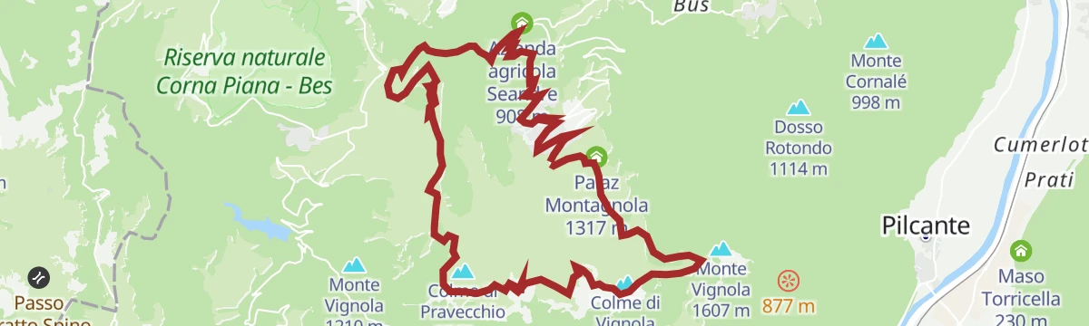
Open route APT Rovereto Vallagarina Monte BaldoPolsa
The climb from the Adige valley up to Polsa on Monte Baldo, over 1,200 m of gain in under nineteen kilometres.
- 18.9 km
- Distance
- 1 212 m
- Ascent
- 2 h 28 min
- Duration
- 10
- Check-ins
- Apt Rovereto Brentonico 695 m
- Azienda Agricola Oxenreiter 579 m
- Azienda agricola Seandre 908 m
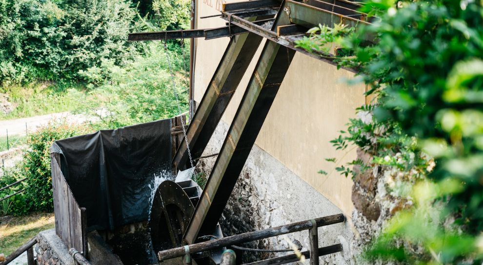
- Ex Molino dei Puntuai 716 m
Open route VisitTrentinoBrentonico Ring - Bocca d'Ardole Variant - Polsa | 1948
A short connector across the pastures of Malga Susine, joining Polsa to Bocca d'Ardole on the Brentonico Ring.
- 1.5 km
- Distance
- 0 m
- Ascent
- 25 min
- Duration
- 13
- Check-ins
Open route APT Rovereto Vallagarina Monte BaldoTrekking to Monte Altissimo – Rifugio Damiano Chiesa
A climb above Brentonico to the Damiano Chiesa hut, just under the summit of Monte Altissimo di Nago on the Monte Baldo ridge.
- 10.7 km
- Distance
- 864 m
- Ascent
- 5 h 33 min
- Duration
- 142
- Check-ins
Open route APT Rovereto Vallagarina Monte BaldoFrom San Valentino Pass to Bocca di Navene
A walk on tarmac from the San Valentino pass through thick beech wood, past the Scoraiavacche waterfall and two Great War tunnels, on towards Bocca di Navene.
- 15.8 km
- Distance
- 532 m
- Ascent
- 5 h
- Duration
- 148
- Check-ins
- Albergo Rifugio Graziani 1 626 m
- Bocca del Creer 1 617 m
- Bocca di Navene 1 425 m
- Malga Canalece 1 574 m
- Passo di San Valentino 1 314 m
- Bocca di Navene 1 427 m
- +2
Open route APT Rovereto Vallagarina Monte BaldoSan Valentino, Fos-Ce and Bès Natural reserve
A walk from San Valentino village along the SP3 past beech wood, waterfalls and military tunnels to the Baita Fos-Ce hut, with the Pra de la Stua basin in view.
- 5.5 km
- Distance
- 240 m
- Ascent
- 1 h 52 min
- Duration
- 12
- Check-ins
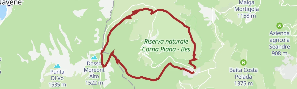
Open route APT Rovereto Vallagarina Monte BaldoRing trail from Villaggio San Valentino
A loop past Malga Bes and Malga Tolghe out to the Bocca Navene balcony over Lake Garda, returning through the Green Lands where pigment was once quarried.
- 10.9 km
- Distance
- 549 m
- Ascent
- 4 h 3 min
- Duration
- 111
- Check-ins
- Albergo Rifugio Graziani 1 626 m
- Bocca del Creer 1 617 m
- Bocca di Navene 1 425 m
- Bocca di Navene 1 427 m
- Malga Bes 1 510 m
- Malga Tolghe 1 451 m
Open route APT Rovereto Vallagarina Monte BaldoLoop between Monte Vignola, Corno della Paura, and Mosee
A long circuit by Polsa over Monte Vignola and Bocca d'Ardole to the Corno della Paura viewpoint, on war roads, tunnels and restored trench walkways.
- 18.5 km
- Distance
- 798 m
- Ascent
- 6 h 19 min
- Duration
- 54
- Check-ins
- Corno Paura 1 539 m
- Bocca d'Ardole 1 390 m
- Malga Vignola 1 451 m
- Baita Costa Pelada 1 375 m
- Casera di Malga Vignola 1 420 m
- Palaz Montagnola 1 317 m
- +2
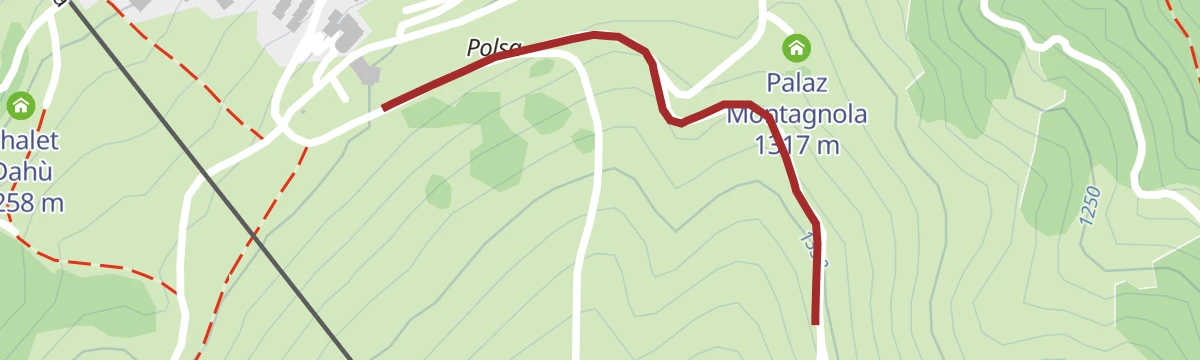
Open route APT Rovereto Vallagarina Monte BaldoBrentonico Ring - Polsa Variant - Vignola | 1946
A short spur joining Polsa to the Brentonico Ring on the Monte Vignola side, meeting it where the road from Malga Cestarelli comes up.
- 716 m
- Distance
- 44 m
- Ascent
- 14 min
- Duration
- 9
- Check-ins
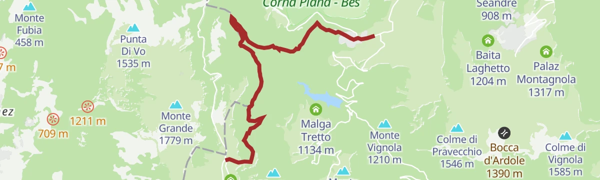
Open route APT Rovereto Vallagarina Monte BaldoBotanical Reserve Bes – Corna Piana
A climb from the San Valentino pass through beech wood and over the rocky crown of Bes to Malga Bes, the Graziani hut and the botanically rich top of Corna Piana.
- 5.5 km
- Distance
- 407 m
- Ascent
- 2 h 17 min
- Duration
- 108
- Check-ins
- Albergo Rifugio Graziani 1 626 m
- Bocca del Creer 1 617 m
- Passo di San Valentino 1 314 m
- Baita al Trett 1 316 m
- Malga Bes 1 510 m
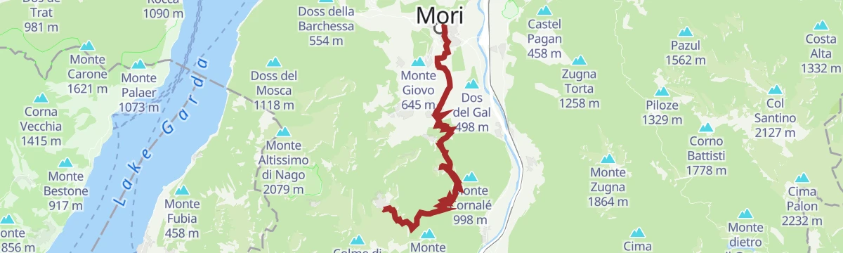
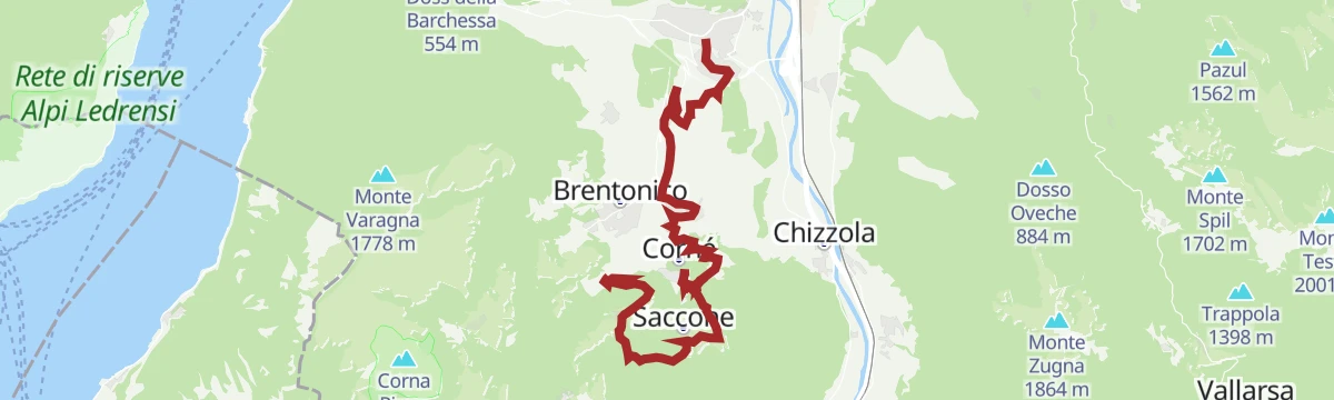
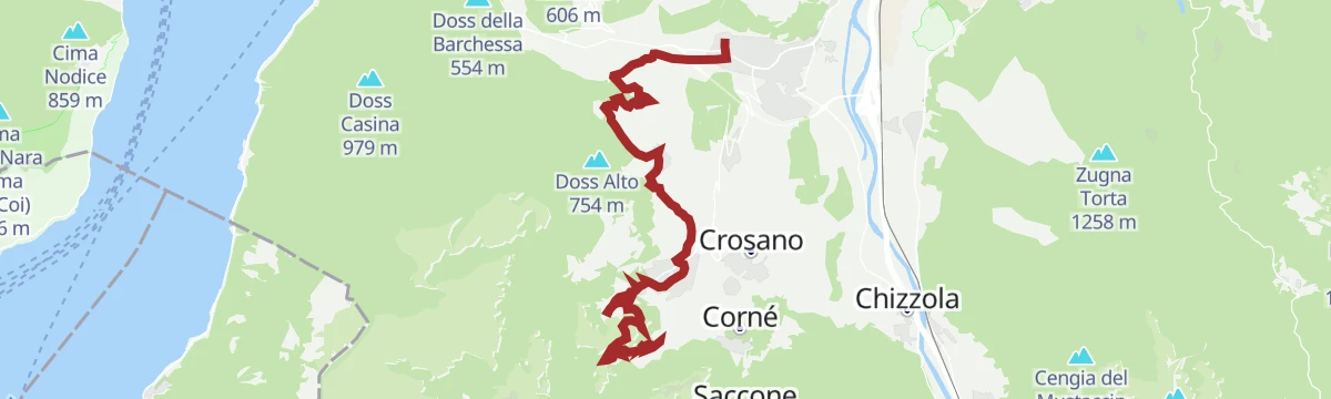
Open route APT Rovereto Vallagarina Monte BaldoSentiero della Pace 13: Polsa to Mori
Stage 13 of the Peace Path, dropping from Polsa by Malga Cestarelli and beech wood through Saccone, Corne and Crosano to Mori, with the Pont del Diaol over the Sorna gorge.
- 18.3 km
- Distance
- 344 m
- Ascent
- 6 h 9 min
- Duration
- 9
- Check-ins
Open route APT Rovereto Vallagarina Monte BaldoWalk from Mosee to San Giacomo
A level dirt road and footpath between Mosee and San Giacomo above Brentonico, with bars and restaurants at either end.
- 2.1 km
- Distance
- 42 m
- Ascent
- 35 min
- Duration
- 7
- Check-ins
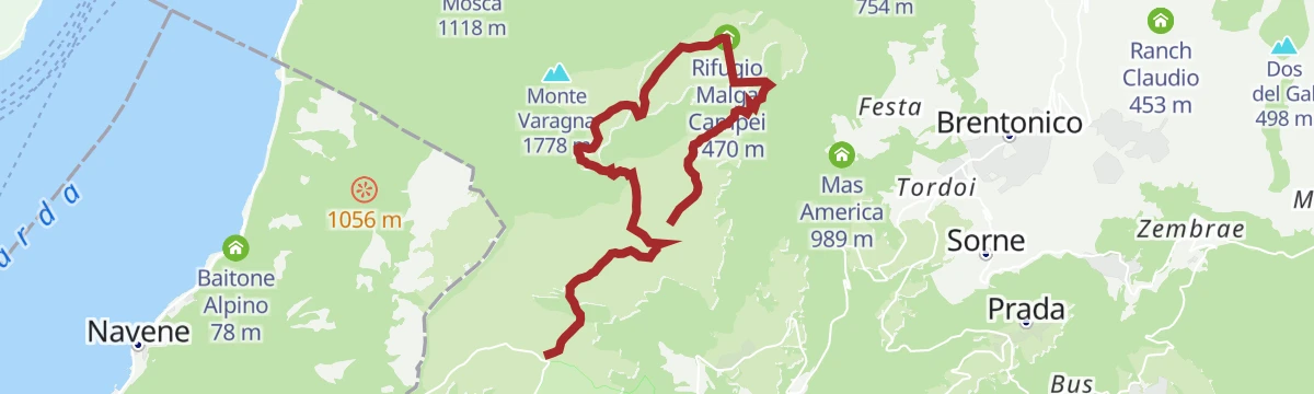
Open route APT Rovereto Vallagarina Monte BaldoHike to “Val del Parol”
A walk from the Graziani hut across the Monte Baldo pastures to Malga Campo and Bocca Paltrane, then down the far slope into the wild ground of Val del Parol and the Campei hut.
- 10.5 km
- Distance
- 534 m
- Ascent
- 3 h 52 min
- Duration
- 105
- Check-ins
- Albergo Rifugio Graziani 1 626 m
- Bocca del Creer 1 617 m
- Bocca Paltrane 1 831 m
- Rifugio Malga Campei 1 470 m
- Malga Campo 1 638 m
Open route APT Rovereto Vallagarina Monte BaldoSan Rocco Path 5th Stage
The fifth stage of the San Rocco path, crossing the Brentonico plateaus before the long drop down to Mori.
- 21.8 km
- Distance
- 831 m
- Ascent
- 7 h 28 min
- Duration
Open route APT Rovereto Vallagarina Monte BaldoWalk to the Rifugio Fos-Ce
A walk up from San Valentino to the Fos-Ce hut, set on a small terrace under the south face of Monte Altissimo di Nago.
- 4.1 km
- Distance
- 235 m
- Ascent
- 1 h 28 min
- Duration
- 7
- Check-ins
Open route APT Rovereto Vallagarina Monte BaldoSan Giacomo - Malga Campo - Bocca del Creer - San Giacomo
A loop through beech wood and mid-mountain pasture, with marmots on the slopes below the road and stands of stone pine planted here over decades.
- 7.7 km
- Distance
- 499 m
- Ascent
- 3 h 24 min
- Duration
- 81
- Check-ins
Open route APT Rovereto Vallagarina Monte BaldoSan Rocco’s Way 4th Stage
The fourth stage of a pilgrim way through the hills above Brentonico, a long day out with a fair amount of climbing.
- 15.7 km
- Distance
- 633 m
- Ascent
- 4 h 56 min
- Duration
Open route APT Rovereto Vallagarina Monte BaldoThe alpine pasture and panoramas of Malga Campo
A flat dirt road from the Graziani hut across pasture to Malga Campo, easy with a trekking stroller, with chamois and amphibians about the alpine pools.
- 2.2 km
- Distance
- 45 m
- Ascent
- 38 min
- Duration
- 6
- Check-ins
Open route APT Rovereto Vallagarina Monte BaldoThe Path of Our History
A route on Austrian and Italian military roads along the old front line, starting at the Piazzale delle Bandiere in Polsa and running over Colme di Vignola to Bocca d'Ardole.
- 11.1 km
- Distance
- 492 m
- Ascent
- 3 h 50 min
- Duration
- 65
- Check-ins
- Corno della Paura 1 518 m
- Corno Paura 1 539 m
- Colme di Vignola 1 585 m
- Monte Vignola 1 607 m
- Bocca d'Ardole 1 390 m
- Malga Vignola 1 451 m
- +4
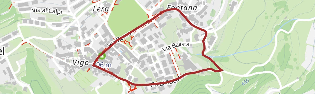
Open route APT Rovereto Vallagarina Monte BaldoThe Water Trail
A short loop around Brentonico taking in the village's five historic fountains, each with its own story of daily life here.
- 1.7 km
- Distance
- 30 m
- Ascent
- 29 min
- Duration
- 4
- Check-ins
Open route APT Rovereto Vallagarina Monte BaldoThrough the history of Mount Baldo
A hike from the Polsa campsite by Malga Susine to Bocca d'Ardole, then to the rock tunnels and guns of Corno della Paura and the Austrian works on Monte Vignola.
- 10.6 km
- Distance
- 604 m
- Ascent
- 4 h 14 min
- Duration
- 59
- Check-ins
- Corno della Paura 1 518 m
- Corno Paura 1 539 m
- Colme di Vignola 1 585 m
- Monte Vignola 1 607 m
- Bocca d'Ardole 1 390 m
- Malga Vignola 1 451 m
- +3
Open route APT Rovereto Vallagarina Monte BaldoBacino Prà da Stua L
An easy walk around the Pra da Stua reservoir on the Brentonico plateau, on the Trentino flank of Monte Baldo.
- 2.5 km
- Distance
- 100 m
- Ascent
- 50 min
- Duration
- 1
- Check-ins
Open route Trentino FishingGiro del Monte Vignola
A circuit of Monte Vignola and Corno della Paura, low bumps seen from Polsa but steep-walled above the Adige, linked by the mule tracks that armed them in 1915.
- 13.8 km
- Distance
- 802 m
- Ascent
- 5 h 36 min
- Duration
- 42
- Check-ins
- Corno della Paura 1 518 m
- Corno Paura 1 539 m
- Bocca d'Ardole 1 390 m
- Malga Vignola 1 451 m
- Casera di Malga Vignola 1 420 m
- Malga Susine 1 326 m
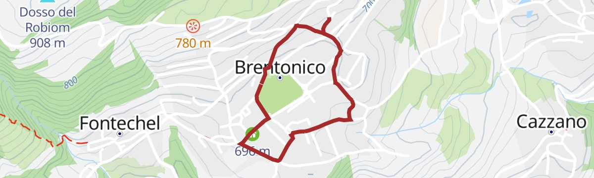
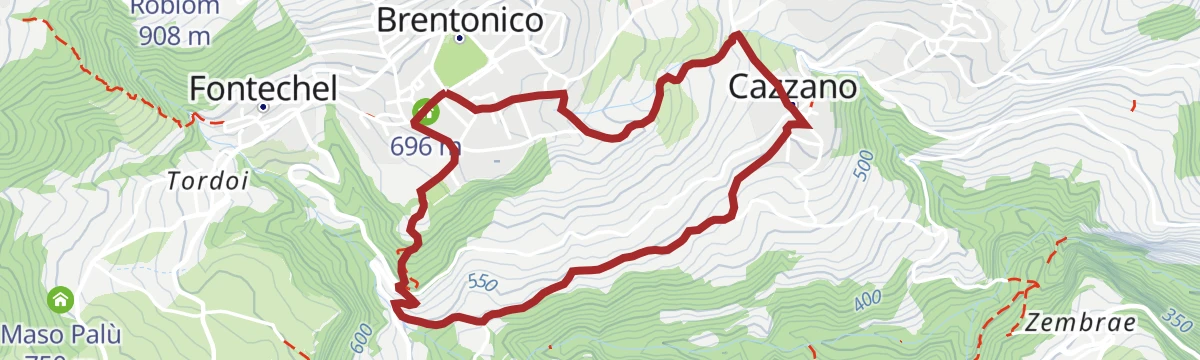
Open route APT Rovereto Vallagarina Monte BaldoBrentonico - Cazzano ring
A loop from the old centre of Brentonico down into the Sorna valley and up through vineyards to the hamlet of Cazzano, inside the Monte Baldo park.
- 4.2 km
- Distance
- 184 m
- Ascent
- 1 h 26 min
- Duration
Open route APT Rovereto Vallagarina Monte BaldoWalk between San Valentino and Polsa
A quiet asphalt road from the San Valentino pass past grassy slopes and marmot pools to Corno della Paura and its gun positions, then gravel down to Polsa.
- 12.5 km
- Distance
- 510 m
- Ascent
- 4 h 12 min
- Duration
- 36
- Check-ins
- Corno della Paura 1 518 m
- Bocca d'Ardole 1 390 m
- Malga Pravecchio di Sopra 1 426 m
- Malga Susine 1 326 m
- Chalet Dahù 1 258 m
- Malga Pizzagrola 1 346 m
Open route APT Rovereto Vallagarina Monte BaldoBrentonico’s historic centre for everyone
A flat, traffic-free paved circuit of the old centre of Brentonico, fine for a pushchair, with a shaded park to stop in and little cover in high summer.
- 1.3 km
- Distance
- 32 m
- Ascent
- 23 min
- Duration
Open route APT Rovereto Vallagarina Monte Baldo"Terre Verdi"
A loop in the Monte Baldo park from the San Valentino pass down to Malga Pianeti and the quarries of the green earth pigment once sold across Europe, then up to the Fos-Ce hut.
- 8.0 km
- Distance
- 346 m
- Ascent
- 2 h 44 min
- Duration
- 29
- Check-ins
Open route APT Rovereto Vallagarina Monte BaldoCastel Dosso Maggiore in a stroller
A short walk from the Brentonico sports centre, part paved and part dirt track, manageable with a large-wheeled pushchair, ending near the Pineta pizzeria.
- 1.7 km
- Distance
- 42 m
- Ascent
- 30 min
- Duration
Open route APT Rovereto Vallagarina Monte BaldoPrà Alpesina - S. Valentino | 1950
A traverse from the Dossioli hut to San Valentino, through the side valleys above the Pra da Stua reservoir.
- 7.4 km
- Distance
- 259 m
- Ascent
- 2 h 30 min
- Duration
- 22
- Check-ins
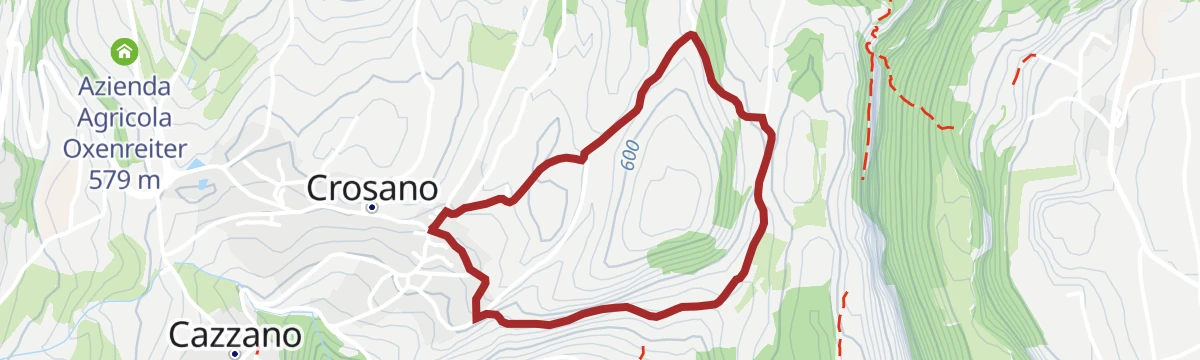
Open route APT Rovereto Vallagarina Monte BaldoCrosano for everyone
A traffic-free paved circuit from Crosano through vineyards to a hilltop above the village, returning by the dry orchid meadows of the Sorna valley.
- 2.7 km
- Distance
- 78 m
- Ascent
- 50 min
- Duration
Open route APT Rovereto Vallagarina Monte Baldo
No routes of this kind in Brentonico yet.
The region's own picks

Featured route
Brentonico Ring - S. Valentino Variant - Festa | 1943
A variant of the Brentonico ring from the San Valentino pass down towards San Giacomo on Monte Baldo.
Planning a trip to Brentonico?
Everything else Trentino-Alto Adige/Südtirol has, in one place


Take Brentonico with you into the mountains
Every route on this page with 3D terrain, GPX navigation and offline maps — including the valleys with no signal.
Data sources
- Official website: visitrovereto.it ↗
- Routes and highlights: APT Rovereto Vallagarina Monte Baldo, Visitrovereto, Garda Trentino, VisitTrentino, Trentino Fishing
- Published as open data by the tourist boards named above.
- Region summary generated from the board's own material.
