


















Curated by Gossensaß
Brennero/Brenner
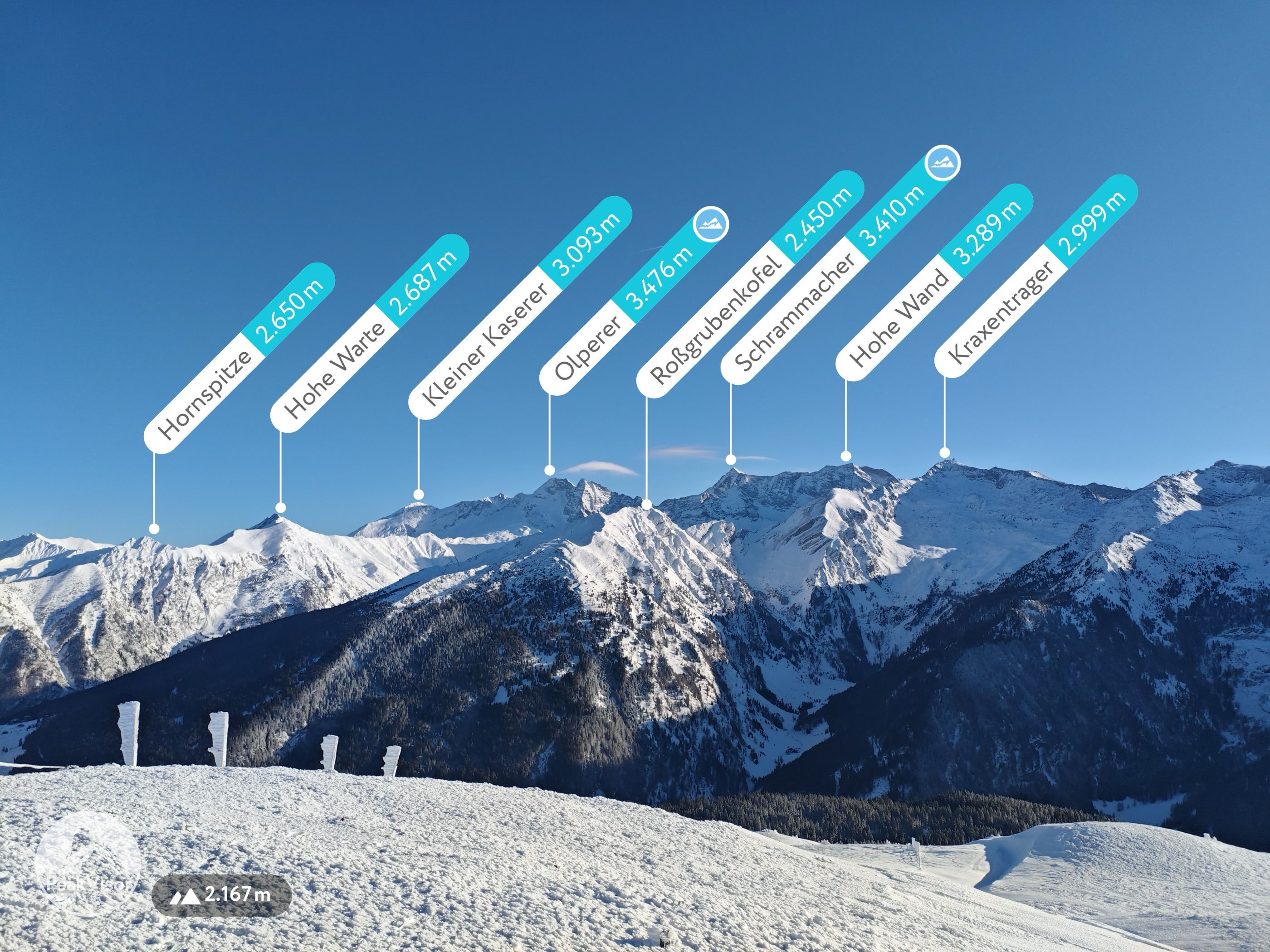
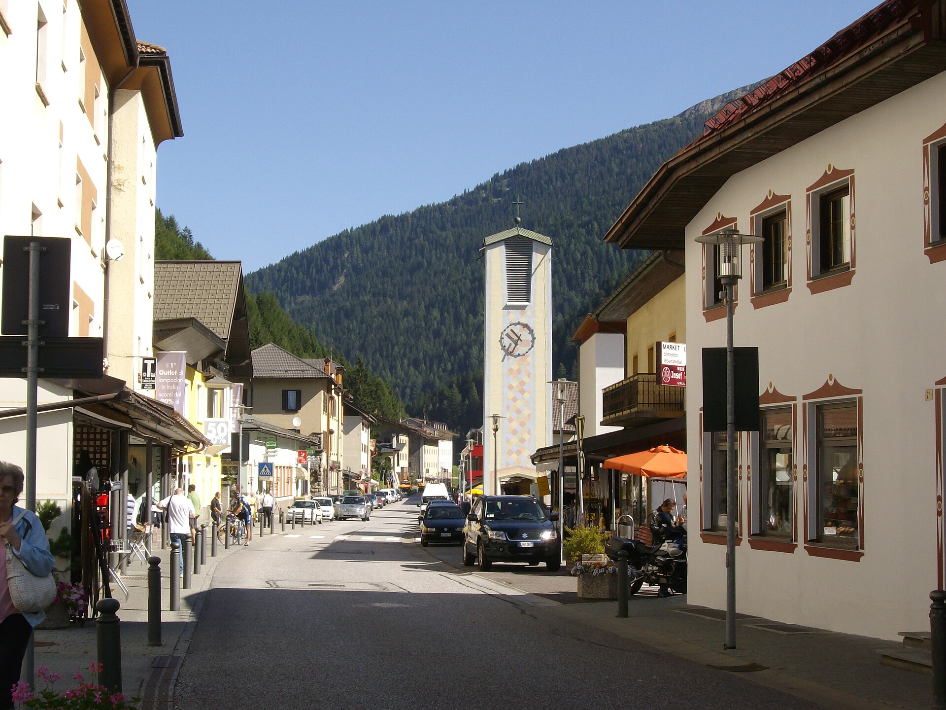
The comune at the Brenner pass on the Austrian border, with the Tribulaun and the upper Val di Fleres behind it.
- 4Highlights
- 73Routes
- Featured summit · Sattelberg - Monte Sella
Highlights
11 from neighbouring places
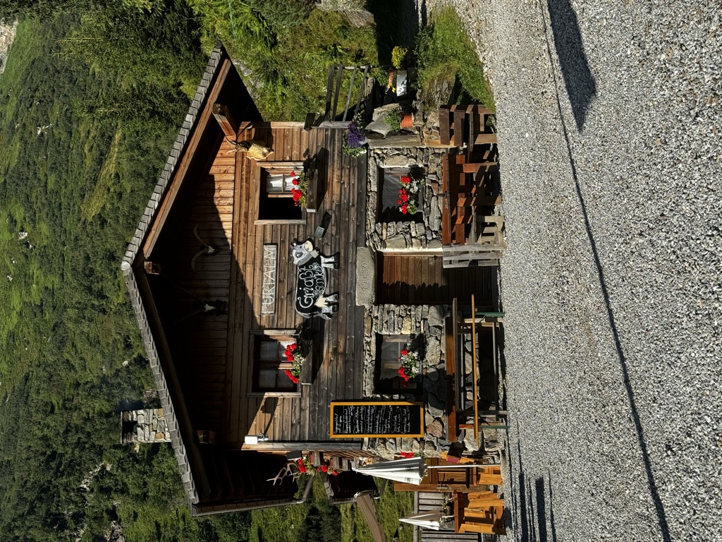
Malga Furt
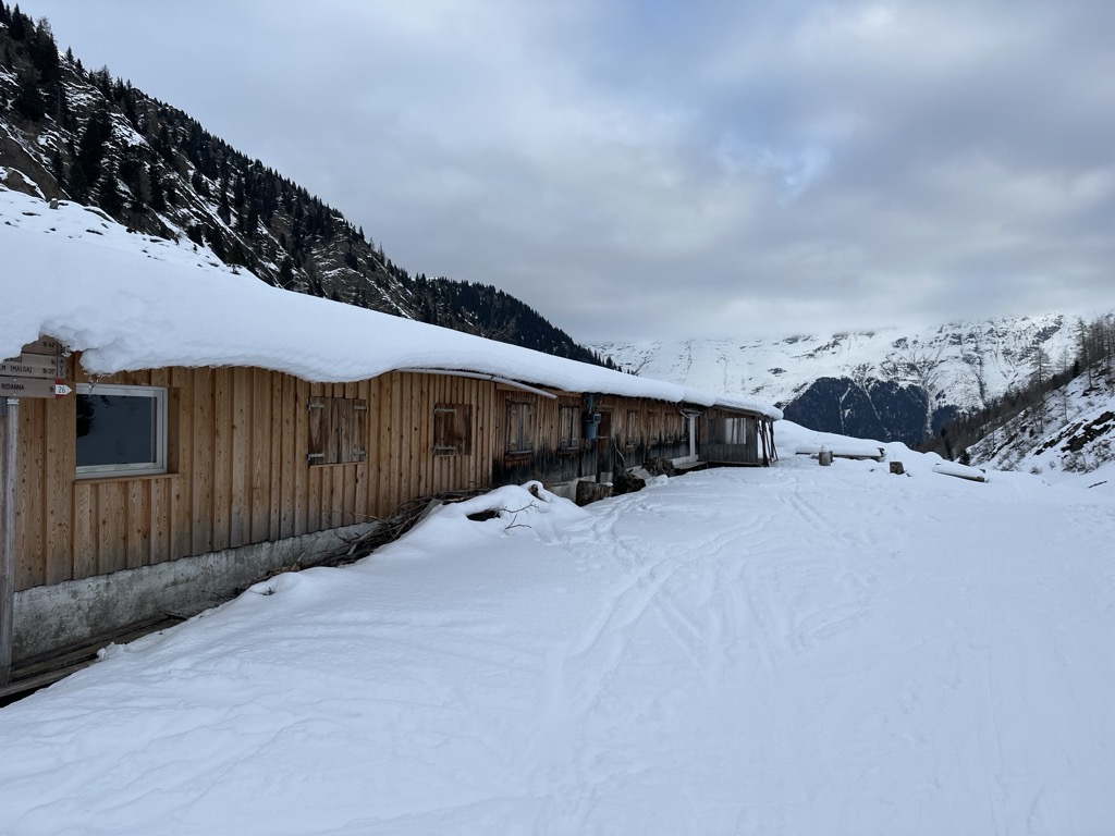
A dairy hut on the pastures of the Brennero comune, in the upper Val Isarco, reached by a track from the valley floor.
Sterzing, Pfitsch und FreienfeldRifugio Gallina
A mountain inn on the slopes of Monte Gallina, the Hühnerspiel, above Colle Isarco in the comune of Brennero.
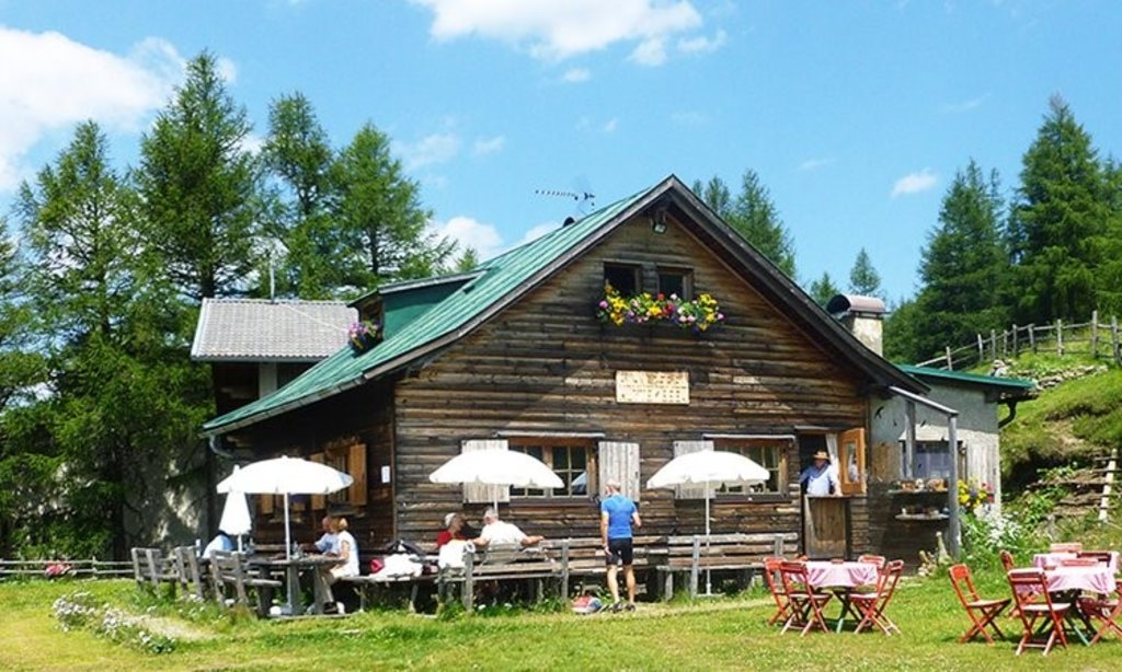
Rifugio Stella Alpina
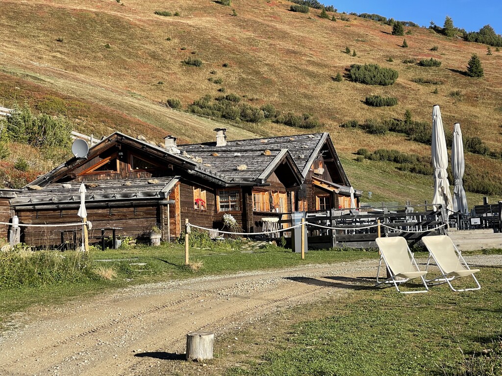
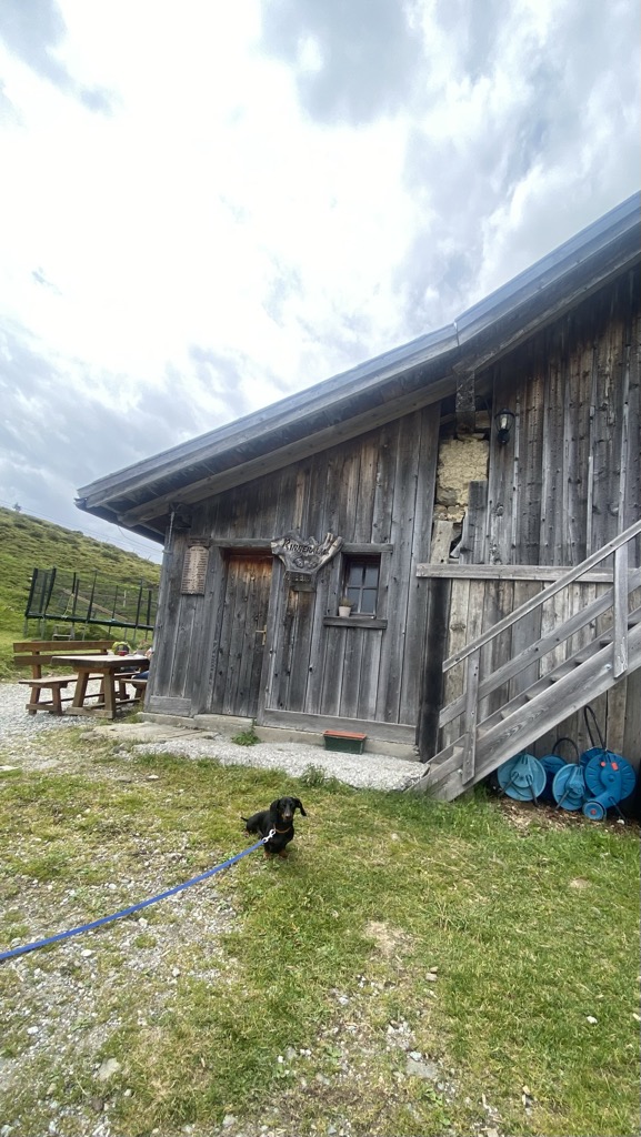
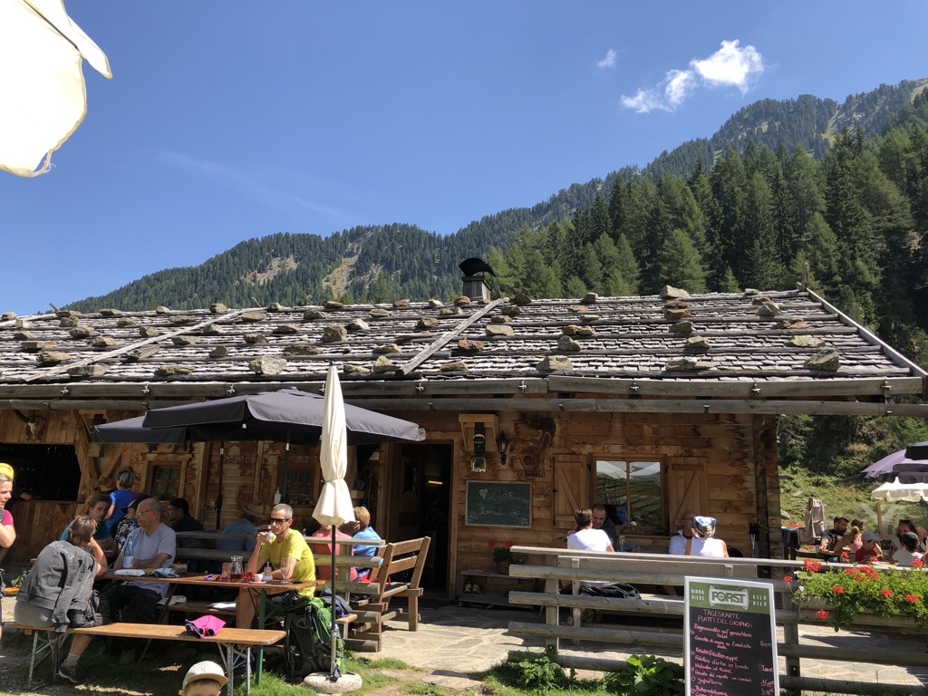
A former dairy hut turned mountain inn on the pastures above Colle Isarco, on the Italian side of the Brenner pass.
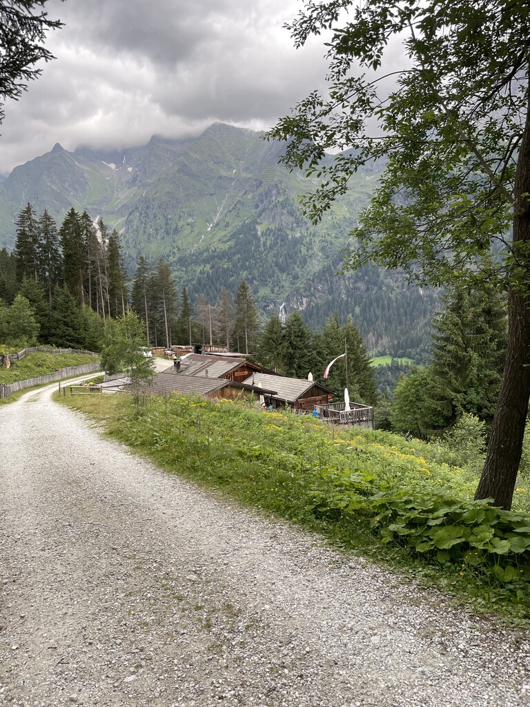
malga Allriss
A dairy hut in the Val di Fleres, in the comune of Brennero, on the way in to the Tribulaun peaks on the Austrian border.
Sterzing, Pfitsch und FreienfeldWalterkaser
6.9 km away, in Vipiteno/Sterzing
A dairy hut on the grazing slopes above Vipiteno, in the upper Val Isarco near the Brenner.
Sterzing, Pfitsch und FreienfeldJörgnerkaser
6.9 km away, in Vipiteno/Sterzing
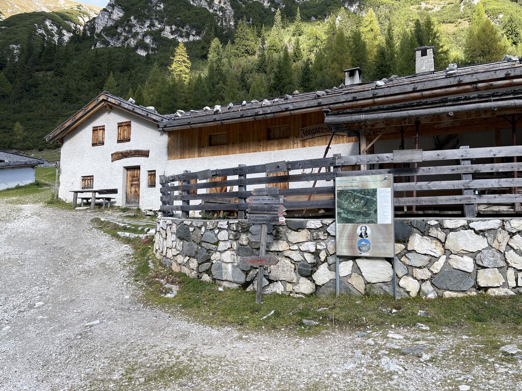
A dairy hut on the pastures above Vipiteno, in the upper Val Isarco.
Malga Untere Gewingesalm
7 km away, in Racines/Ratschings
The lower of the two Gewinges dairy huts above Racines, on the pastures of the Ratschings valley.
Sterzing, Pfitsch und FreienfeldMalga Obere Gewingesalm
7.4 km away, in Racines/Ratschings
The upper of two dairy huts on the Gewinges pastures above Racines, in the mountains of the Ratschings valley.
Sterzing, Pfitsch und FreienfeldMalga Martalm
7.9 km away, in Racines/Ratschings
A pasture hut on the slopes above the Val Ridanna, in the comune of Racines.
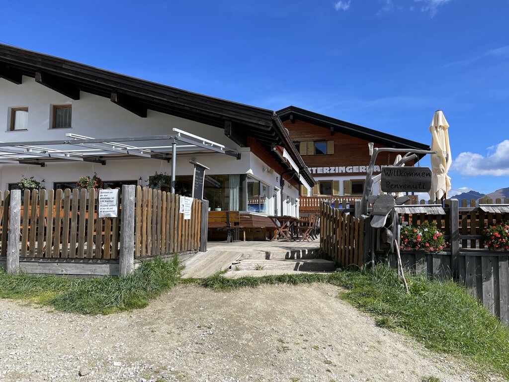
Sterzing, Pfitsch und FreienfeldPanorama-Restaurant Sterzingerhaus
7.9 km away, in Vipiteno/Sterzing
A mountain restaurant on Monte Cavallo above Vipiteno, at the top of the cable car from the town.
Sternhütte
8 km away, in Vipiteno/Sterzing
A hut on the pastures above Vipiteno, reached on foot from the side valleys that ring the town.
Malga Valtiglalm
8.9 km away, in Racines/Ratschings
A dairy hut on the Valtigl pastures above Racines, in the Stubai Alps.
Sterzing, Pfitsch und FreienfeldRifugio Biasi al Bicchiere
9.8 km away, in Racines/Ratschings
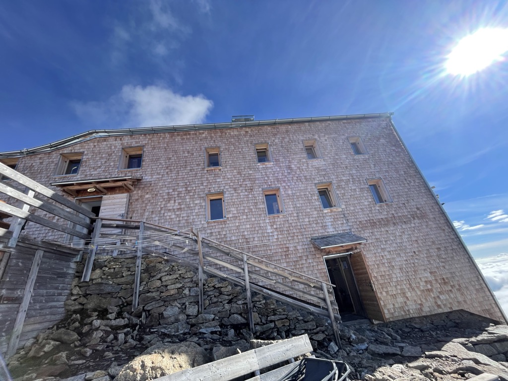
A refuge set on a rock tower high above the Val Ridanna, the highest in South Tyrol, reached by a long climb from Masseria.
Malga Rinneralm
13.2 km away, in Racines/Ratschings
A working dairy on the Rinner pastures above Racines, reached by track from the valley below.
Sterzing, Pfitsch und FreienfeldMalga Bergalm
14.9 km away, in Racines/Ratschings
A dairy hut on the high pastures above Racines, in the Stubai Alps north of the Val d'Isarco.
Sterzing, Pfitsch und Freienfeld
Nothing of this kind in Brennero/Brenner.
Routes
50 routes, an even mix of activities · see the rest on suedtirol.info ↗
Lampskopf- Via ferrata fino al rifugio Tribulaun
An equipped route across the rock corners and grass slopes of the Lampskopf and Gogelberg to the foot of the Tribulaun di Fleres wall; south-facing, hot, and slick after rain.
- 7.0 km
- Distance
- 1 000 m
- Ascent
- 4 h 53 min
- Duration
- 6
- Check-ins
Open route Sterzing, Pfitsch und Freienfeld360° panoramic viewing platform “Wastenegg”
A climb to the Wastenegg platform above the Brenner, open on all sides to the surrounding peaks.
- 3.5 km
- Distance
- 314 m
- Ascent
- 1 h 58 min
- Duration
- 31
- Check-ins
 Wastenegg 2 022 m
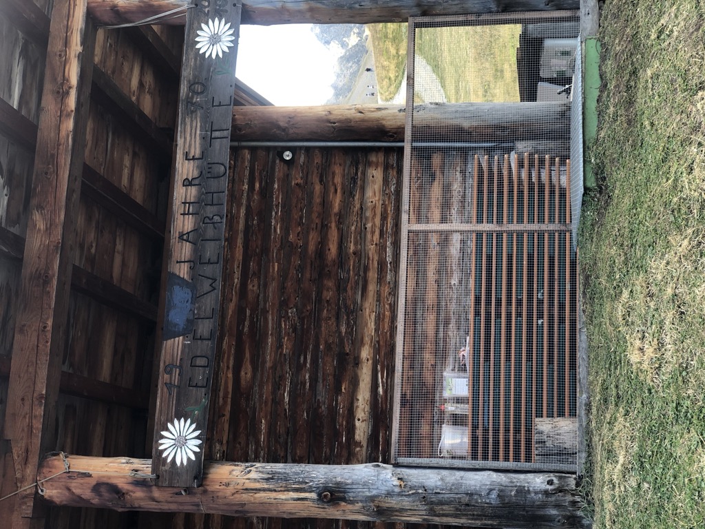
 Edelweißhütte 1 956 m
 Ladurnersee 1 963 m
- Ladurner Hütte - Malga Ladurns 1 723 m
- Kaser - Hütte 1 731 m
- Pfeifer Huisele 1 713 m
- +1
Open route GossensaßAcross Toffring to the valley end
From the Ladurns top station by the Edelweisshuette and the Teisljoechl onto the Dolomieu trail, over the Toffring meadows to the Allriss hut and down to St. Anton.
- 9.3 km
- Distance
- 357 m
- Ascent
- 3 h 46 min
- Duration
- 47
- Check-ins
- Allrissalm - Malga Alberes 1 533 m
- Edelweißhütte 1 956 m
- Ladurnersee 1 963 m
- Ladurner Hütte - Malga Ladurns 1 723 m
- RAS-Anlage Pflersch 1 407 m
- Kaser - Hütte 1 731 m
- +3
Open route GossensaßDolomieu trail - Hike
A long crossing over six alpine pastures from the Rosskopf via Ladurns into the Pflerschtal, the valley where Déodat de Dolomieu identified dolomite rock.
- 22.4 km
- Distance
- 632 m
- Ascent
- 7 h 24 min
- Duration
- 65
- Check-ins
- Allrissalm - Malga Alberes 1 533 m
- Kastellacke 1 920 m
- Panoramarestaurant Sterzingerhaus 1 919 m
- Ladurner Hütte - Malga Ladurns 1 723 m
- RAS-Anlage Pflersch 1 407 m
- Vallmingalm - Malga di Valmigna 1 813 m
- +10
Open route SterzingSci alpinimso Pista d'ascesa Ladurns
A natural training ascent at Ladurns on hiking paths and forest roads to the top station, open only during lift hours.
- 3.3 km
- Distance
- 587 m
- Ascent
- 0 m
- Descent
- 1 h 40 min
- Duration
- 20
- Check-ins
- La Monte 1 142 m
- Ladurner Hütte - Malga Ladurns 1 723 m
- Kaser - Hütte 1 731 m
- Pfeifer Huisele 1 713 m
Open route Sterzing, Pfitsch und FreienfeldSkitour Monte Neve
A ski tour past the Furt dairy, up right of the stream gorge and through mountain pine to a plateau, then a short steep gully towards the Monte della Neve.
- 9.1 km
- Distance
- 1 743 m
- Ascent
- 11 m
- Descent
- 4 h 50 min
- Duration
- 24
- Check-ins
- Schneespitze - Monte della Neve 3 174 m
- Magdeburger Hütte - Rif. Cremona alla Stua 2 423 m
- Schafhütte 2 116 m
- Magdeburger Hütte - Rif. Cremona alla Stua 2 423 m
- Hinterer Stubensee 2 649 m
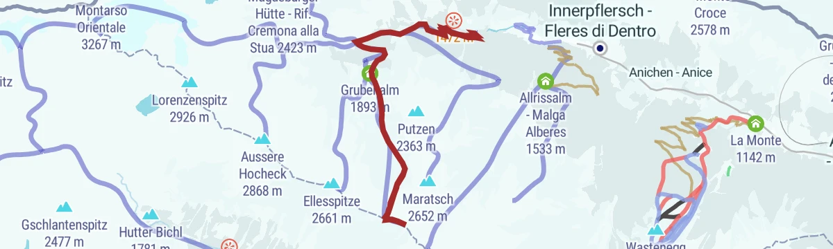
Open route Sterzing, Pfitsch und FreienfeldTo the Pasture Furtalm
A short, steady gravel climb from Innerpflersch past the Hölle waterfall to the Furtalm, close by the Magdeburger Hütte.
- 6.9 km
- Distance
- 551 m
- Ascent
- 1 h 2 min
- Duration
- 12
- Check-ins
Open route GossensaßEisacktal Valley Bike Route: Brenner - Bozen
A long, almost entirely downhill valley ride from the Brenner border to Bozen, following the Eisack river the whole way.
- 96.5 km
- Distance
- 313 m
- Ascent
- 9 h 14 min
- Duration
- 185
- Check-ins
- Paterbichl 559 m
- Mila Bistro 282 m
- Klammwirt 559 m
- Hiasele 312 m
- Agrocenter Bozen OHG 296 m
- Senfter 532 m
- +22
Open route Gitschberg - JochtalCircular route Ladurns
A two-hour loop from the Ladurns top station past the Hirsch-Lacken pools and along the Dolomieu trail to Wastenegg and the Teissljoechl, with the Edelweiss hut for a stop.
- 3.4 km
- Distance
- 307 m
- Ascent
- 1 h 55 min
- Duration
- 30
- Check-ins
- Wastenegg 2 022 m
- Edelweißhütte 1 956 m
- Ladurnersee 1 963 m
- Ladurner Hütte - Malga Ladurns 1 723 m
- Kaser - Hütte 1 731 m
- Pfeifer Huisele 1 713 m
Open route Gossensaß"Dein Weg" Ladurns
A half-day round from the Ladurns top station by Wastenegg, Hirschlackn and Toffring, then the Dolomieu and six-pasture trails to Pfoffnberg and the Allriss valley.
- 11.2 km
- Distance
- 654 m
- Ascent
- 5 h 5 min
- Duration
- 40
- Check-ins
- Wastenegg 2 022 m
- Allrissalm - Malga Alberes 1 533 m
- Edelweißhütte 1 956 m
- Ladurnersee 1 963 m
- RAS-Anlage Pflersch 1 407 m
- Toffring-Alm - Malga di Tovalino 1 686 m
- +2
Open route GossensaßFrom Rosskopf on the Dolomieu Trail into the Pflerschtal
A high traverse from the Rosskopf above Sterzing, westwards over the alpine pastures and down into the Pflerschtal.
- 17.3 km
- Distance
- 560 m
- Ascent
- 6 h 2 min
- Duration
- 52
- Check-ins
- Allrissalm - Malga Alberes 1 533 m
- Kastellacke 1 920 m
- Panoramarestaurant Sterzingerhaus 1 919 m
- Ladurner Hütte - Malga Ladurns 1 723 m
- RAS-Anlage Pflersch 1 407 m
- Vallmingalm - Malga di Valmigna 1 813 m
- +5
Open route Valle Isarco - EisacktalEscursione sci alpinistico sul Monte Piano
A ski tour from S. Antonio in the Val di Fleres by the Allriss dairy up to Monte Piano, with the Tribulaun opposite across the valley.
- 12.9 km
- Distance
- 1 094 m
- Ascent
- 1 093 m
- Descent
- 4 h 34 min
- Duration
- 16
- Check-ins
Open route Sterzing, Pfitsch und FreienfeldBrenner Bike Route
A 50 km valley run south from the Brenner on the old railway alignment, through Gossensaß and Sterzing and on towards Vahrn.
- 50.8 km
- Distance
- 180 m
- Ascent
- 4 h 57 min
- Duration
- 35
- Check-ins
- Punterbühel 681 m
- Moidl Hof 1 325 m
- Gasthof Silbergasser 1 316 m
- Tourismusverein Sterzing - Associazione Turistica 957 m
- Biwak 963 m
- Waldheim 1 081 m
- +2
Open route GossensaßLadurns circular hiking tour
A short loop by the Ladurns lake, facing the Weisswand and the Tribulaun peaks across the Pflersch valley.
- 3.4 km
- Distance
- 309 m
- Ascent
- 1 h 56 min
- Duration
- 30
- Check-ins
- Wastenegg 2 022 m
- Edelweißhütte 1 956 m
- Ladurnersee 1 963 m
- Ladurner Hütte - Malga Ladurns 1 723 m
- Kaser - Hütte 1 731 m
- Pfeifer Huisele 1 713 m
Open route GossensaßThree-pasture-trail
A family day from the Ladurns top station through the pasture village, past small mountain lakes by Wastenegg to the Toffringalm, under the Telfer Weissen and Tribulaun.
- 11.8 km
- Distance
- 411 m
- Ascent
- 4 h 30 min
- Duration
- 39
- Check-ins
- Wastenegg 2 022 m
- Allrissalm - Malga Alberes 1 533 m
- La Monte 1 142 m
- Ladurner Hütte - Malga Ladurns 1 723 m
- Kaser - Hütte 1 731 m
- Toffring-Alm - Malga di Tovalino 1 686 m
- +1
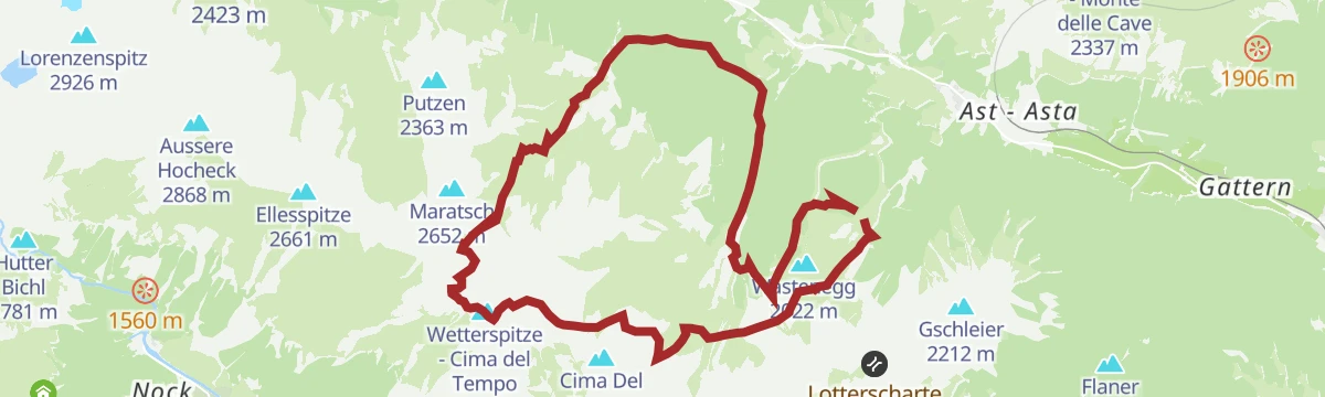
Open route GossensaßFrom the Mountain hut Edelweiß/Stella Alpina to the peak Wetterspitze/Cima del Tempo
From the Edelweiss hut on trail 34 to the Teissljoechl, into the Toffring valley and up under the flanks of the Wetterspitze; descent by Allriss and the Sogeweg.
- 18.6 km
- Distance
- 1 505 m
- Ascent
- 9 h 40 min
- Duration
- 50
- Check-ins
- Wetterspitze - Cima del Tempo 2 709 m
- Allrissalm - Malga Alberes 1 533 m
- Edelweißhütte 1 956 m
- Ladurnersee 1 963 m
- Ladurner Hütte - Malga Ladurns 1 723 m
 Maurerscharte - Passo del Muro 2 511 m
- +3
Open route GossensaßSki tour Bodner Berg/Monte Piano
A ski tour from St. Anton by way of the Allriss hut up the Bodner Berg, with the Tribulaun standing opposite across the Pflersch valley.
- 12.8 km
- Distance
- 1 095 m
- Ascent
- 1 086 m
- Descent
- 4 h 34 min
- Duration
- 16
- Check-ins
Open route GossensaßBrennerbad and Mountainhut Enzianhütte
From Brennerbad along the Brenner-Bolzano cycle route, then paved and gravel road to the Zirogalm and trail 11 past the Enzian hut and the Groebner Alm.
- 15.3 km
- Distance
- 594 m
- Ascent
- 1 h 55 min
- Duration
- 27
- Check-ins
- Moidl Hof 1 325 m
- Gasthof Silbergasser 1 316 m
- Gasthof Zum Wolf - Albergo Al Lupo 1 397 m
- Enzianhütte - Rifugio Genziana 1 900 m
- RAI Brenner - Brennero 1 392 m
- Riedl-Kaser-Alm 1 770 m
- +4
Open route GossensaßAlmweg zur Edelweißhütte im Pflerschtal
A short pasture path in the Pflersch valley climbing to the Edelweiss hut above Ladurns.
- 3.0 km
- Distance
- 253 m
- Ascent
- 1 h 36 min
- Duration
- 27
- Check-ins
- Edelweißhütte 1 956 m
- Ladurnersee 1 963 m
- Ladurner Hütte - Malga Ladurns 1 723 m
- Kaser - Hütte 1 731 m
- Pfeifer Huisele 1 713 m
- Wasserspeicher Beschneiungsanlage 1 906 m
Open route Valle Isarco - EisacktalFrom Ladurns to S. Antonio/St. Anton
From the Ladurns top station on trails 34, 35A and 27B to the Allriss hut at the head of the Pflersch valley, then trail 27 down to St. Anton; bus back.
- 9.4 km
- Distance
- 105 m
- Ascent
- 2 h 55 min
- Duration
- 33
- Check-ins
- Allrissalm - Malga Alberes 1 533 m
- Ladurner Hütte - Malga Ladurns 1 723 m
- RAS-Anlage Pflersch 1 407 m
- Kaser - Hütte 1 731 m
- Wasserfassung Tofring 1 526 m
- Argentum 1 223 m
- +1
Open route GossensaßSaun-Weißspitz-Amthorspitze circular tour
A long ridge round behind the Braunhof over the Saun and the Bairnock to the Weisspitze and the Amthorspitze, one exposed step secured with an aluminium ladder.
- 17.0 km
- Distance
- 1 527 m
- Ascent
- 9 h 36 min
- Duration
- 46
- Check-ins
- Weißspitze - Punta Bianca 2 714 m
- Saun 2 083 m
- Riedspitze 2 490 m
- Bairnock - Punta del Dosso 2 591 m
- Amthorspitze 2 748 m
- Prantneralm 1 781 m
- +4
Open route SterzingEscursione sci d'alpinismo: Cima Gallina
A ski tour from Colle Isarco by way of the Gallina dairy up to the Cima Gallina, easy on skis and with no alpine difficulty.
- 10.8 km
- Distance
- 1 442 m
- Ascent
- 1 432 m
- Descent
- 5 h 5 min
- Duration
- 8
- Check-ins
Open route Sterzing, Pfitsch und FreienfeldOn the Brenner Pass Ridge
A gravel climb from Brennerbad up to the border ridge near 2,150 m, traversing past the Steinalm before the valley path back.
- 16.9 km
- Distance
- 816 m
- Ascent
- 2 h 17 min
- Duration
- 15
- Check-ins
- Moidl Hof 1 325 m
- Gasthof Silbergasser 1 316 m
- Obere Wechsel Alm 2 029 m
- Steinalm - Malga Steinalm 1 716 m
Open route GossensaßTo the Edelweiß mountain hut
A gently rising farm track left from the Ladurns top station, crossing the hay meadows known as the Mahder to the Edelweiss hut.
- 2.6 km
- Distance
- 236 m
- Ascent
- 1 h 28 min
- Duration
- 26
- Check-ins
- Edelweißhütte 1 956 m
- Ladurnersee 1 963 m
- Ladurner Hütte - Malga Ladurns 1 723 m
- Kaser - Hütte 1 731 m
- Pfeifer Huisele 1 713 m
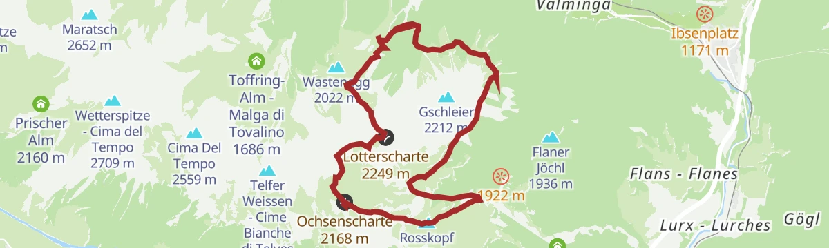
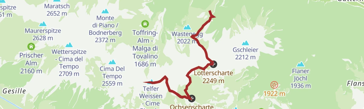
Open route GossensaßLotterscharte joke & Vallming alpine village
From the top station towards the Edelweisshuette, then steep trail 34 over scree to the Lotterscharte and down to the pasture huts of Vallming, back by the Dolomieu trail.
- 9.8 km
- Distance
- 743 m
- Ascent
- 4 h 51 min
- Duration
- 25
- Check-ins
- Edelweißhütte 1 956 m
- Ladurner Hütte - Malga Ladurns 1 723 m
- Vallmingalm - Malga di Valmigna 1 813 m
- Kaser - Hütte 1 731 m
- Pfeifer Huisele 1 713 m
- Lotterscharte 2 249 m
- +1
Open route GossensaßFrom Gossensass o Ladurns
From the Ibsenplatz in Gossensass along the Pflersch valley road, then forest road and path up to Ladurns and the Allriss pasture, returning by the valley road.
- 26.7 km
- Distance
- 808 m
- Ascent
- 8 h 16 min
- Duration
- 44
- Check-ins
- Allrissalm - Malga Alberes 1 533 m
- La Monte 1 142 m
- Ladurner Hütte - Malga Ladurns 1 723 m
- RAS-Anlage Pflersch 1 407 m
- Kaser - Hütte 1 731 m
- Wasserfassung Tofring 1 526 m
- +4
Open route GossensaßEscursione sci d'alpinismo: Cima Vallaccia
A ski tour from Terme di Brennero up the pistes of the closed Zirago area to the Genziana hut and on to the Cima Vallaccia.
- 9.1 km
- Distance
- 1 231 m
- Ascent
- 1 231 m
- Descent
- 4 h 19 min
- Duration
- 7
- Check-ins
Open route Sterzing, Pfitsch und FreienfeldPanoramic Tour in Pflersch
A gravel climb out of Gossensaß into the Pflerschtal, gaining nearly 700 m to the Tofring water intake at 1,526 m and back.
- 21.8 km
- Distance
- 648 m
- Ascent
- 2 h 33 min
- Duration
- 4
- Check-ins
- Wasserfassung Tofring 1 526 m
- Tourismusverein Gossensaß 1 083 m
Open route GossensaßTo the pasture Edelweißhütte/Rifugio Stella Alpina
From the Ladurns top station at 1,713 m, a gently rising path past the pasture village and the Ladurnerhuette, over the Mahder to the Edelweiss hut and its fishpond.
- 2.6 km
- Distance
- 237 m
- Ascent
- 1 h 28 min
- Duration
- 26
- Check-ins
- Edelweißhütte 1 956 m
- Ladurnersee 1 963 m
- Ladurner Hütte - Malga Ladurns 1 723 m
- Kaser - Hütte 1 731 m
- Pfeifer Huisele 1 713 m
Open route GossensaßFrom Ladurns to the valley bottom 2
From the top station along the Dolomieu trail into the Toffring valley, then the Sogeweg to the Bichl farms and trail 34 down to the valley station.
- 7.1 km
- Distance
- 180 m
- Ascent
- 2 h 48 min
- Duration
- 23
- Check-ins
- La Monte 1 142 m
- Ladurner Hütte - Malga Ladurns 1 723 m
- Kaser - Hütte 1 731 m
- Wasserfassung Tofring 1 526 m
- Pfeifer Huisele 1 713 m
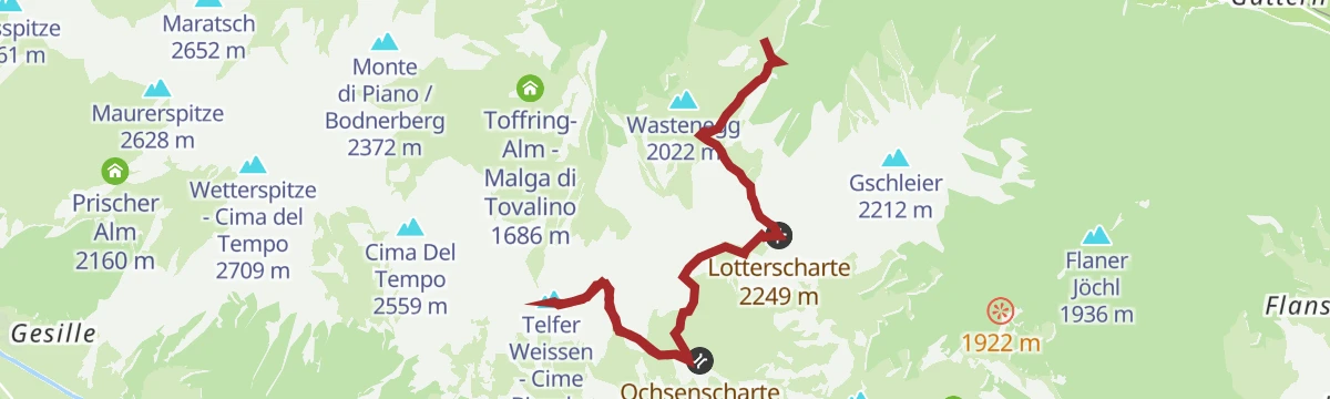
Open route GossensaßOver Lotterscharte joke to the Rosskopf
From the top station towards the Edelweisshuette, then steep trail 34 over scree to the Lotterscharte at 2,258 m and trail 24 along the ridge to the Rosskopf.
- 13.5 km
- Distance
- 1 025 m
- Ascent
- 6 h 41 min
- Duration
- 40
- Check-ins
- Rosskopf 2 189 m
- Edelweißhütte 1 956 m
- Ladurner Hütte - Malga Ladurns 1 723 m
- Vallmingalm - Malga di Valmigna 1 813 m
- Kaser - Hütte 1 731 m
- Ochsenscharte 2 168 m
- +4
Open route GossensaßEscursione sci d'alpinismo: Monte Muro
A ski tour at the head of the Val di Fleres on inviting north-facing snow, with the Tribulaun opposite and the South Tyrolean peaks to the south.
- 13.4 km
- Distance
- 1 261 m
- Ascent
- 1 260 m
- Descent
- 4 h 55 min
- Duration
- 5
- Check-ins
Open route Sterzing, Pfitsch und FreienfeldFrom Ladurns to the valley bottom 1
The access road and trail 34 from the Ladurns top station, down forest road and open slopes to the valley station.
- 3.4 km
- Distance
- 0 m
- Ascent
- 1 h 28 min
- Duration
- 20
- Check-ins
- La Monte 1 142 m
- Ladurner Hütte - Malga Ladurns 1 723 m
- Kaser - Hütte 1 731 m
- Pfeifer Huisele 1 713 m
Open route GossensaßTo the pasture Ladurnerhütte/Malga Ladurns
Trail 34 from the Ladurns valley station up to the Ladurnerhuette, a quiet working pasture hut in the Pflersch valley that serves food.
- 6.7 km
- Distance
- 588 m
- Ascent
- 3 h 42 min
- Duration
- 20
- Check-ins
- La Monte 1 142 m
- Ladurner Hütte - Malga Ladurns 1 723 m
- Kaser - Hütte 1 731 m
- Pfeifer Huisele 1 713 m
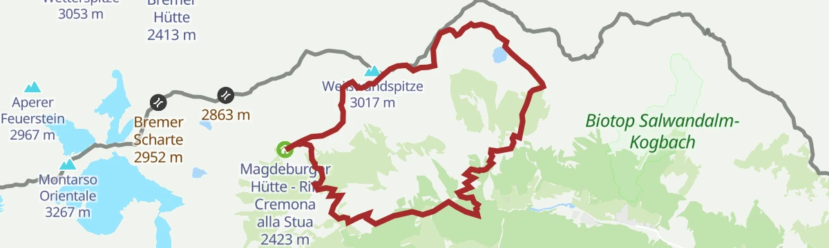
Open route GossensaßTour of the Weißwand/Parete Bianca
From Stein or Pflersch on trail 8 to the Tribulaun hut, then the exposed trail 7 across the Weisswand to the Magdeburger hut and down by trail 6.
- 16.5 km
- Distance
- 1 553 m
- Ascent
- 9 h 40 min
- Duration
- 39
- Check-ins
- Hoher Zahn 2 924 m
- Furtalm 1 682 m
- Magdeburger Hütte - Rif. Cremona alla Stua 2 423 m
- Schafhütte 2 116 m
- Tribulaunhütte - Rifugio Cesare Calciati al Tribulaun 2 368 m
- Magdeburger Hütte - Rif. Cremona alla Stua 2 423 m
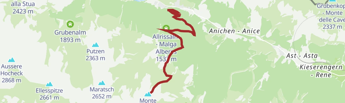
Open route GossensaßTo the pasture Allriss in the Pflersch/Fleres Valley
An easy walk from St. Anton at 1,215 m in the Pflersch valley, over the river and along the Stein road, then up to the Allriss pasture in about an hour.
- 6.1 km
- Distance
- 308 m
- Ascent
- 2 h 15 min
- Duration
- 18
- Check-ins
Open route GossensaßMount "Sattelberg" and Mount "Kreuzjoch"
From the old customs post at Brenner, trail 1 climbs past the Eisack falls in tight hairpins to the Steinalm meadows, crossing the young river on the way to the Sattelberg.
- 9.5 km
- Distance
- 725 m
- Ascent
- 4 h 43 min
- Duration
- 18
- Check-ins
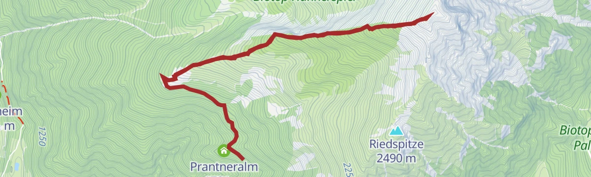
Open route GossensaßFrom the Prantneralm to the Amthorspitze
A climb from the Prantneralm car park by way of the Riedbergalm and the Hühnerspielhütte to the 2,753 m Amthorspitze on the Brenner ridge.
- 12.1 km
- Distance
- 1 029 m
- Ascent
- 6 h 32 min
- Duration
- 34
- Check-ins
- Amthorspitze 2 748 m
- Prantneralm 1 781 m
- Hühnerspielhütte - Rifugio Gallina 1 868 m
- Riedberger Alm - Malga Riedbergalm 1 947 m
- Platzbergalm - Malga Piazza 1 899 m
Open route SterzingFrom St. Anton in Pflersch to the Allrissalm
A short climb from St. Anton at the head of the Pflersch valley up to the Allriss pasture.
- 3.5 km
- Distance
- 296 m
- Ascent
- 1 h 53 min
- Duration
- 16
- Check-ins
Open route Valle Isarco - EisacktalOver Vallming to Colle Isarco/Gossensass
A downhill crossing from the Monte Cavallo station through the Vallming pastures and forest roads to the valley floor at Gossensass, with a bus link back.
- 8.6 km
- Distance
- 70 m
- Ascent
- 2 h 55 min
- Duration
- 14
- Check-ins
- Kastellacke 1 920 m
- Vallmingalm - Malga di Valmigna 1 813 m
- Bergrestaurant Roßstodl 1 859 m
- Vallming-Alm 1 823 m
Open route SterzingAcross the embrasure Lotterscharte to the peaks Telfer Weißen/Cime Bianche di Telves
From the Ladurns top station by the Edelweiss hut and trail 34A to the Lotterscharte, then trails 24 and 23 to the Telfer Weissen, returning the same way.
- 11.7 km
- Distance
- 1 234 m
- Ascent
- 7 h 30 min
- Duration
- 32
- Check-ins
- Telfer Weissen - Cime Bianche di Telves 2 588 m
- Telfer Weißen Ostgipfel - Cime Bianche di Telves cima invernale 2 565 m
- Edelweißhütte 1 956 m
- Ladurner Hütte - Malga Ladurns 1 723 m
- Kaser - Hütte 1 731 m
- Ochsenscharte 2 168 m
- +3
Open route GossensaßFrom Ladurns to Colle Isarco/Gossensass
A descent from the Ladurns top station on forest road 34 and an old mule track to the valley floor, then the promenade into Colle Isarco.
- 6.9 km
- Distance
- 10 m
- Ascent
- 2 h 14 min
- Duration
- 12
- Check-ins
Open route GossensaßValley path in the Pflersch Valley from Ladurns to St. Anton
A valley path through the Pflersch valley from Ladurns up to St. Anton, with the Tribulaun walls ahead.
- 8.8 km
- Distance
- 118 m
- Ascent
- 2 h 21 min
- Duration
- 10
- Check-ins
Open route Valle Isarco - EisacktalFrom Ladurns to the Telfer Weißen summit
From the top station past the Edelweisshuette and up steep trail 34 to the Lotterscharte, then 24 to the Ochsenscharte and 23 along the crest to the east summit.
- 11.8 km
- Distance
- 1 246 m
- Ascent
- 7 h 34 min
- Duration
- 32
- Check-ins
- Telfer Weissen - Cime Bianche di Telves 2 588 m
- Telfer Weißen Ostgipfel - Cime Bianche di Telves cima invernale 2 565 m
- Edelweißhütte 1 956 m
- Ladurner Hütte - Malga Ladurns 1 723 m
- Kaser - Hütte 1 731 m
- Ochsenscharte 2 168 m
- +3
Open route GossensaßTo the pasture Furtalm/Malga Furt
An easy pasture path from Stein in the Pflersch valley along the sunny side to the Furtalm, with variants by forest track and by the Pflerscher Hoelle signs.
- 6.0 km
- Distance
- 303 m
- Ascent
- 2 h 13 min
- Duration
- 12
- Check-ins
Open route GossensaßWeißspitz/Cima Bianca
A there-and-back climb on trail 3 from the Riedbergalm car park to the limestone summit of the Weißspitze above Sterzing.
- 6.6 km
- Distance
- 796 m
- Ascent
- 4 h 43 min
- Duration
- 10
- Check-ins
Open route GossensaßTo the Wetterspitze summit
From the Ladurns top station past the Edelweisshuette and over the Teisljoechl, then a hard mountain path to the top of the Wetterspitze.
- 12.7 km
- Distance
- 1 158 m
- Ascent
- 7 h 14 min
- Duration
- 30
- Check-ins
- Wetterspitze - Cima del Tempo 2 709 m
- Edelweißhütte 1 956 m
- Ladurnersee 1 963 m
- Ladurner Hütte - Malga Ladurns 1 723 m
- Kaser - Hütte 1 731 m
- Pfeifer Huisele 1 713 m
Open route GossensaßWaterfall Trail in the Pflersch/Fleres Valley
From the St. Anton car park past the Hotel Feuerstein and the Ausserstein farms, a forest path to four falls: Trommelbach, Gansoerbach, Mesnerbach and Koggraben.
- 4.2 km
- Distance
- 249 m
- Ascent
- 1 h 44 min
- Duration
- 4
- Check-ins
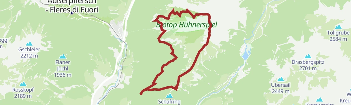
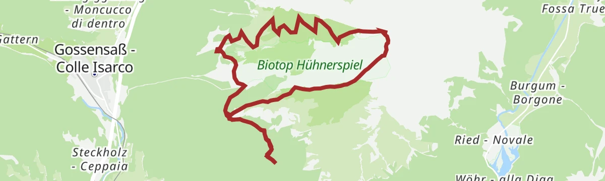
Open route GossensaßTo the mountain hut Hühnerspiel/Gallina
From Ibsen Square in Gossensass at 1,098 m through the Alte Postgasse and up trail 22 to the Huehnerspielhuette at 1,868 m.
- 9.4 km
- Distance
- 783 m
- Ascent
- 4 h 59 min
- Duration
- 9
- Check-ins
Open route GossensaßAlpine Tour to the Weißspitze peak
A demanding ascent above Vipiteno that starts in pasture and finishes on the blocky limestone cone of the Weißspitze, looking to the Zillertal and Sarntal Alps.
- 8.2 km
- Distance
- 923 m
- Ascent
- 5 h 33 min
- Duration
- 29
- Check-ins
Open route Sterzing
No routes of this kind in Brennero/Brenner yet.
The region's own picks

Featured route
360° panoramic viewing platform “Wastenegg”
A climb to the Wastenegg platform above the Brenner, open on all sides to the surrounding peaks.
Planning a trip to Brennero/Brenner?
Everything else Trentino-Alto Adige/Südtirol has, in one place


Take Brennero/Brenner with you into the mountains
Every route on this page with 3D terrain, GPX navigation and offline maps — including the valleys with no signal.
Data sources
- Official website: suedtirol.info ↗
- Routes and highlights: Gossensaß, Sterzing, Pfitsch und Freienfeld, Sterzing, Valle Isarco - Eisacktal, Gitschberg - Jochtal
- Published as open data by the tourist boards named above.
- Region summary generated from the board's own material.
