
 Historic site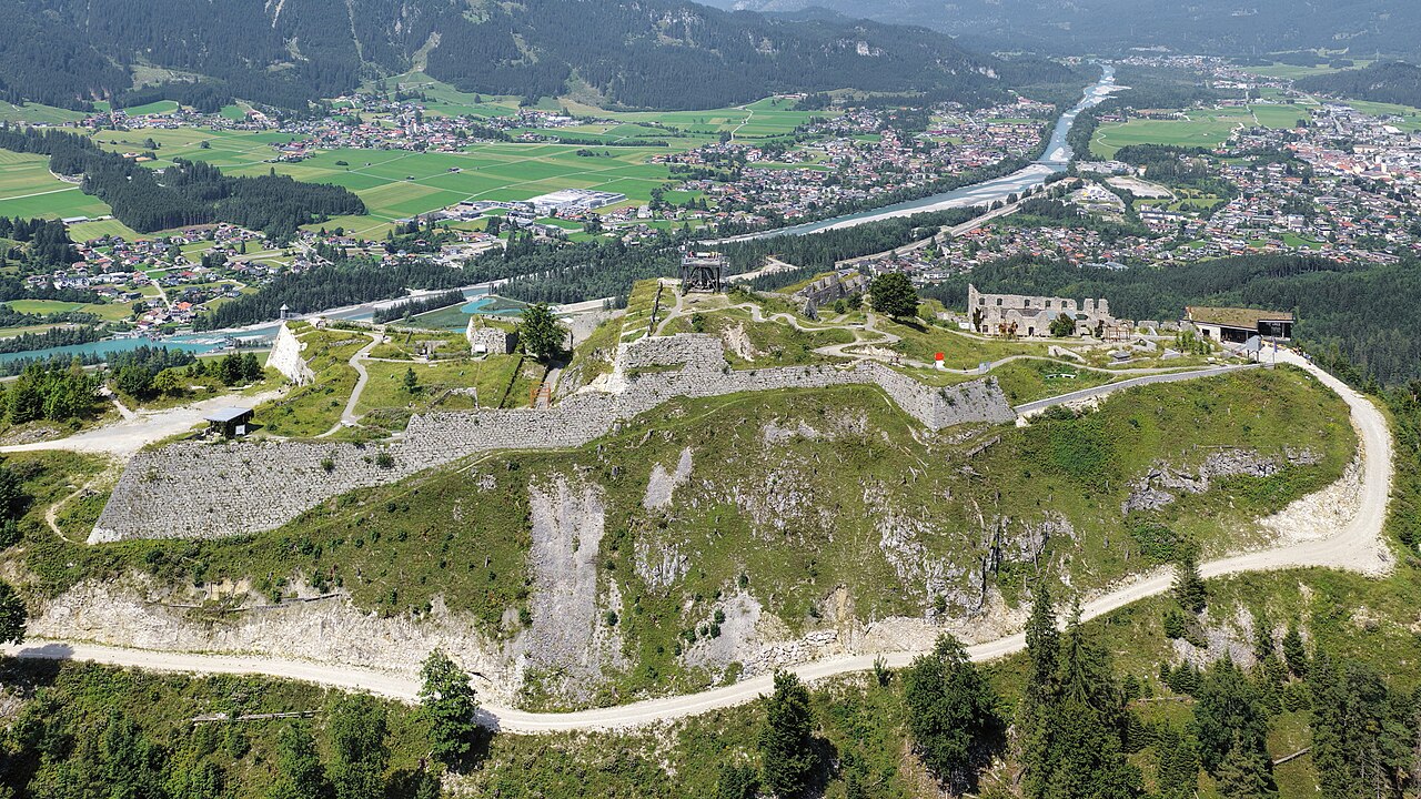









Curated by Naturparkregion Reutte
Breitenwang
Reutte's twin village in the Lech basin, reaching back toward the Plansee with the Stuibenfälle waterfalls tumbling through the Archbach gorge.
- 15Highlights
- 26Routes
- Featured summit · Tauern
Highlights
All 15 from neighbouring places
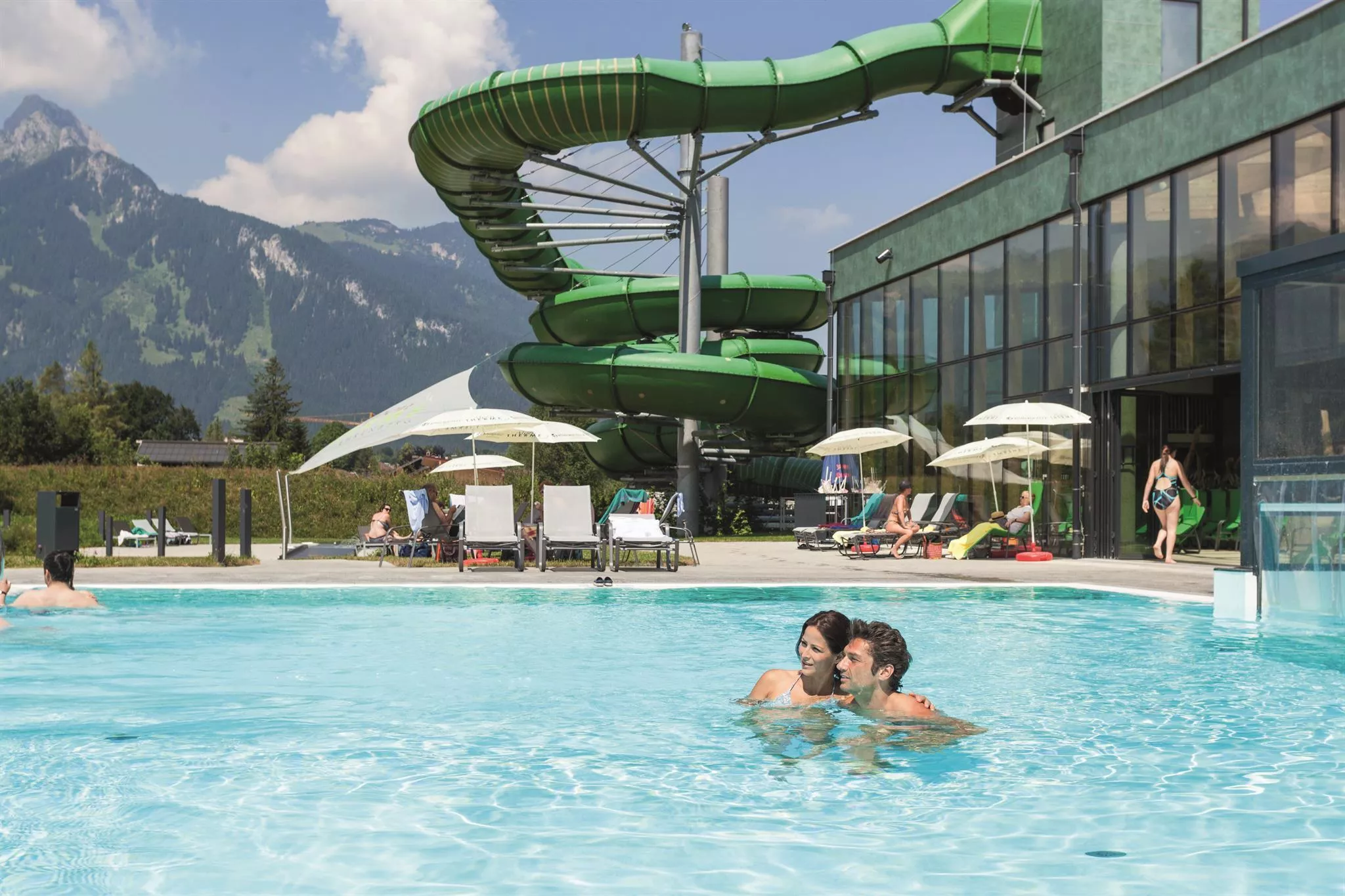
Alpentherme Ehrenberg
2.1 km away, in Reutte
An indoor pool and wellness complex near the Ehrenberg castle ensemble at Reutte, a family swimming option at the mouth of the Lechtal.
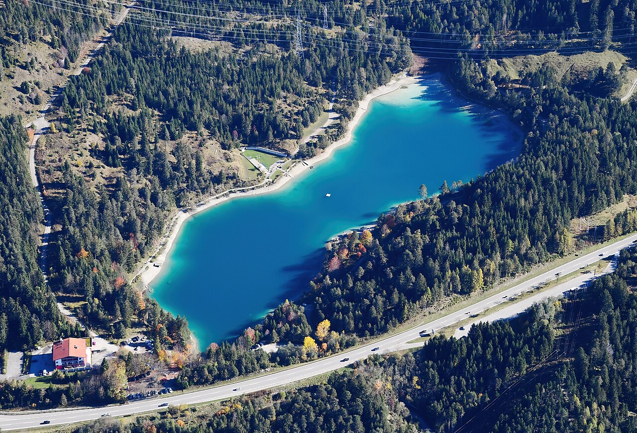
Urisee
2.5 km away, in Reutte
A small bathing lake in the forest above Reutte, warm enough for summer swimming and circled by an easy walking path.
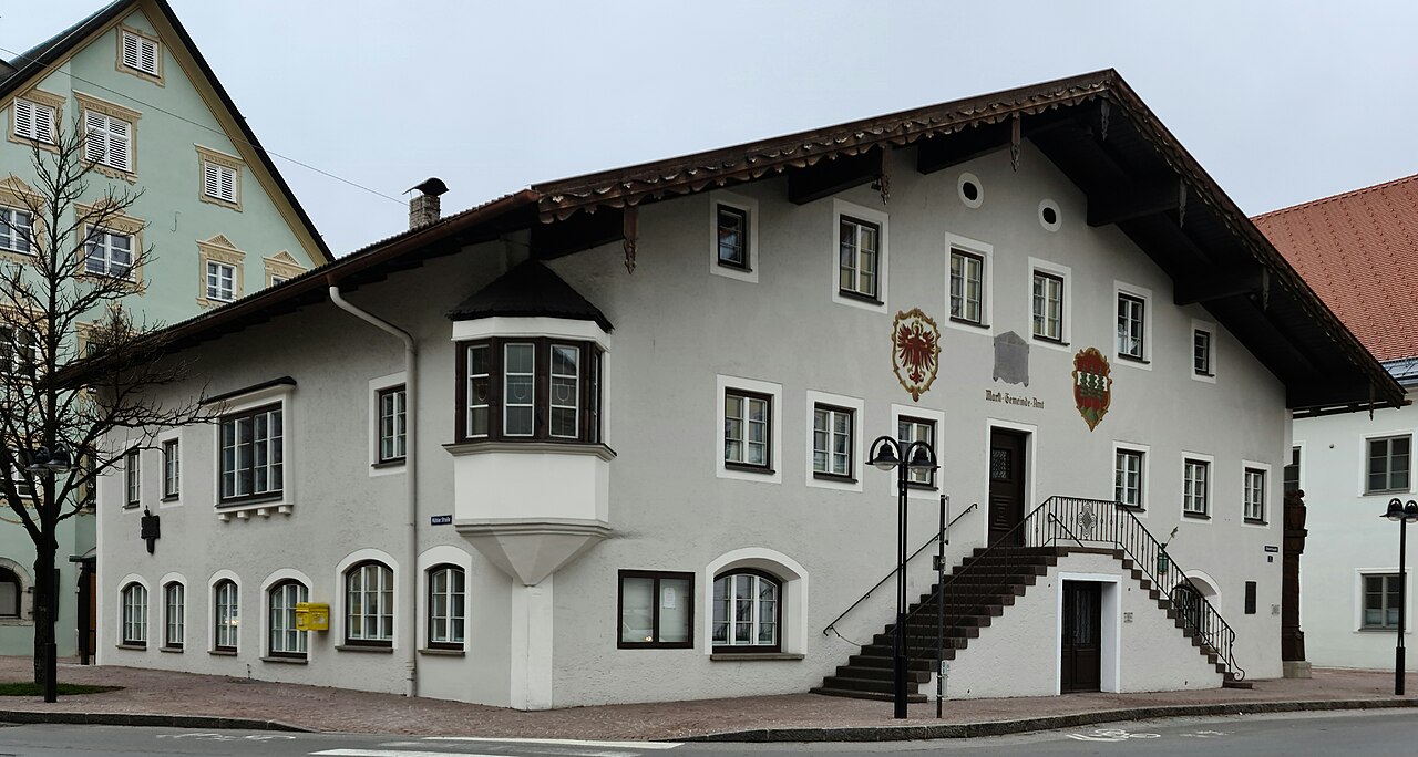
Marktgemeindeamt und Nagelsäule
2.9 km away, in Reutte
Reutte's market-town hall with the Nagelsäule, a First World War column into which donors drove nails to fund relief for soldiers' families.
Festung Klause
3 km away, in Reutte
The fortified toll station at the foot of the Ehrenberg castle ensemble near Reutte, which once controlled the road through the narrow valley.
Burgenwelt Ehrenberg
3 km away, in Reutte
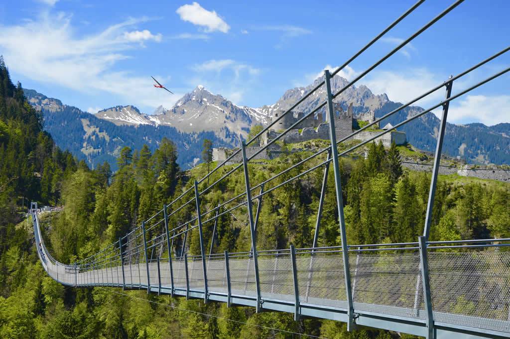
The Ehrenberg castle ensemble near Reutte, with medieval ruins, a fort museum and the highline179 pedestrian suspension bridge.
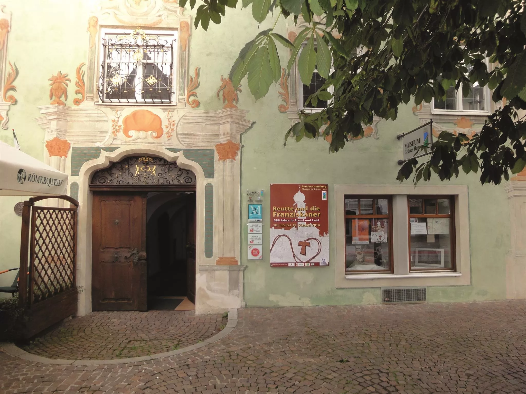
Museum im "Grünen Haus"
3.1 km away, in Reutte
The regional museum in Reutte's Green House, a historic painted town house with collections on the art and history of the Ausserfern district.
highline179
3.1 km away, in Reutte
A pedestrian suspension bridge spanning the valley between the Ehrenberg castle ruins and Fort Claudia near Reutte, over 400 m long.
Festung Schlosskopf
3.5 km away, in Reutte
An 18th-century fortress on the Schlosskopf hill above the Ehrenberg castle ensemble near Reutte, built to command the older works below.
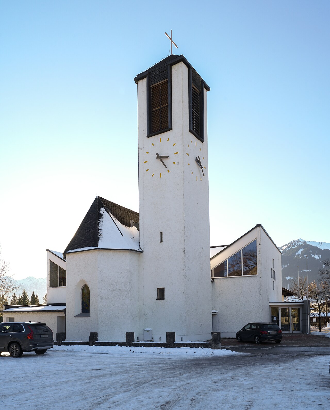
Hl.-Geist-Kirche
3.6 km away, in Reutte
The parish church of Lechaschau, dedicated to the Holy Spirit, standing across the Lech from the market town of Reutte.
Dürrenberg Alm
3.6 km away, in Reutte
A pasture hut in the hills between Reutte and the Plansee, reached on foot or by bike from the valley.
Plansee
4.7 km away, in Reutte
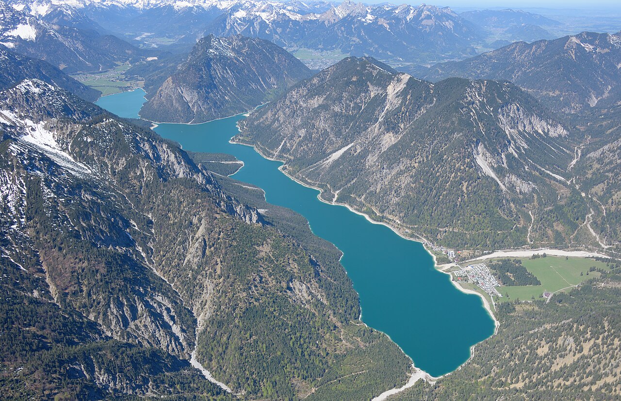
A large fjord-like lake east of Reutte at Breitenwang, joined to the Heiterwanger See by a narrow channel and cruised by excursion boats.
Ehenbichler Alm
9.9 km away, in Reutte
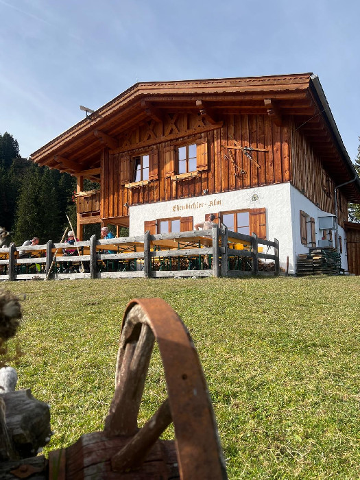
A managed pasture hut in the mountains south of Reutte, open to walkers and mountain bikers during the summer months.
Ehenbichler Raaz-Alm
9.9 km away, in Reutte
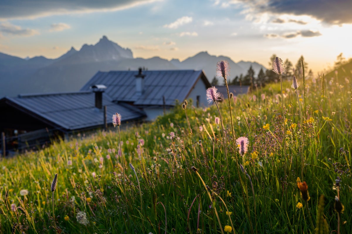
A high pasture near Berwang neighbouring the Ehenbichler Alm, where cattle graze in summer and walkers find simple refreshment.
Erlebnis-Freibad Weißenbach
9.9 km away, in Reutte
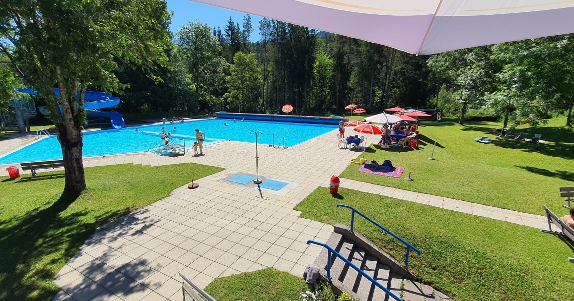
The outdoor swimming pool of Weissenbach am Lech, with pools, slides and lawns for families during the summer season.
Marienkapelle
4.3 km away, in Ehenbichl
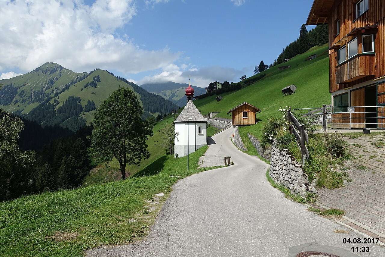
A small chapel dedicated to the Virgin Mary in Höfen near Reutte, one of many wayside churches in the Naturparkregion Reutte.
Nothing of this kind in Breitenwang.
Routes
Wanderung um den Kreckelmooser See | Barrierefrei
Level lakeside circuit of the Kreckelmooser See near Reutte, fully accessible and under a kilometre long - a gentle option for prams and wheelchairs.
- 928 m
- Distance
- 14 m
- Ascent
- 15 min
- Duration
- 15
- Check-ins
 Kreckelmooser See 869 m
Rundwanderung um den Plansee
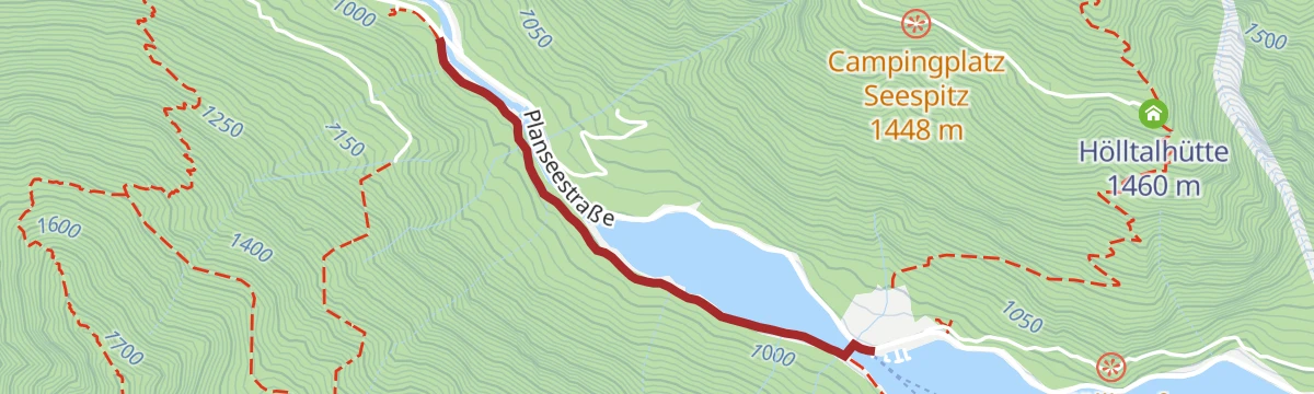
Full circuit of the Plansee, mostly on shoreline paths and forest road, with the Muster Alm and the Speckbacherhütte for breaks along one of Tirol's largest lakes.
- 14.6 km
- Distance
- 224 m
- Ascent
- 3 h 58 min
- Duration
- 20
- Check-ins
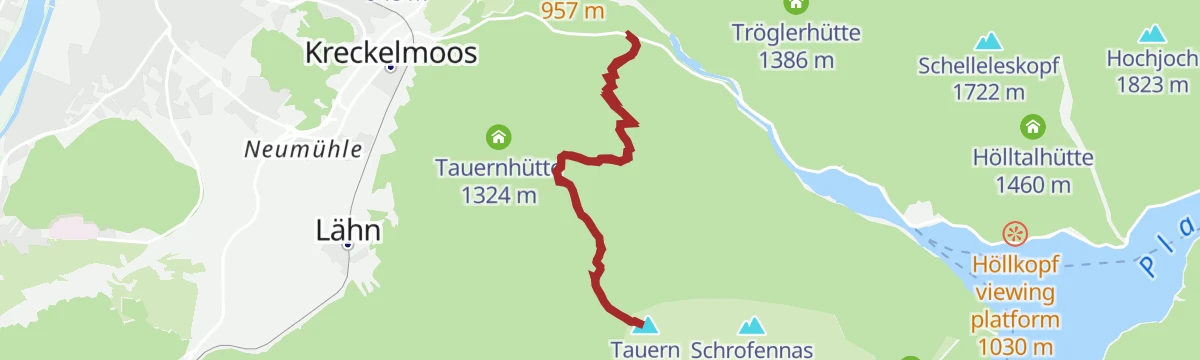
Gipfelwanderung Tauern
Steep summit circuit above Breitenwang over the Zunterkopf to the Tauern, a strenuous outing on forest and ridge paths above the Reutte basin.
- 7.2 km
- Distance
- 913 m
- Ascent
- 5 h 23 min
- Duration
- 33
- Check-ins
Zum Fort Claudia | MTB Tour
A short forest-road climb above Breitenwang to the Claudiahütte, with the Hedwigsruh rest spot passed on the way up.
- 10.5 km
- Distance
- 328 m
- Ascent
- 1 h 14 min
- Duration
- 3
- Check-ins
Plansee - Griesen | MTB Tour
A long forest-road tour out of Lermoos, running past the Speckbacherhütte and the Höllkopf platform to the lake shore camp site at Seespitz.
- 46.6 km
- Distance
- 778 m
- Ascent
- 4 h 52 min
- Duration
- 32
- Check-ins
Auf dem Plansee Panoramaweg | Radtour
A short road tour above the Plansee near Breitenwang, climbing to the Höllkopf viewing platform on the slope over the lake.
- 11.0 km
- Distance
- 355 m
- Ascent
- 1 h 18 min
- Duration
Biketour Zugspitz-8
A figure of eight right round the Zugspitze from Ehrwald, taking in the Ehrwalder Alm and the Garmisch ski stadium.
- 103.8 km
- Distance
- 2 311 m
- Ascent
- 11 h 23 min
- Duration
- 273
- Check-ins
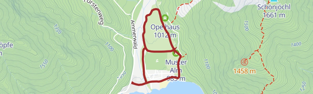
Spazierweg Musteralpe am Plansee
Flat lakeside stroll along the Plansee's quiet reaches to the Muster Alm, passing the Opelhaus - suited to buggies and easy afternoons by the water.
- 3.4 km
- Distance
- 25 m
- Ascent
- 51 min
- Duration
- 9
- Check-ins
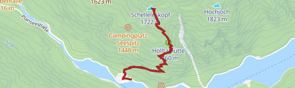
Gipfelwanderung Schelleleskopf (1.722m)
Sharp little summit hike above Breitenwang, climbing past the Hölltalhütte to the Schelleleskopf at 1,722 m with views over the Reutte basin.
- 5.5 km
- Distance
- 733 m
- Ascent
- 4 h 18 min
- Duration
- 7
- Check-ins
Gipfel-Gratwanderung über dem Plansee
Airy ridge route south of the Plansee crossing the Hochjoch, with the Hölltalhütte along the way and the lake in view for much of the day.
- 11.1 km
- Distance
- 994 m
- Ascent
- 6 h 15 min
- Duration
- 6
- Check-ins
Gravelbike Tour 4.4 - Rund um den Daniel
A long circuit around the Daniel massif from Ehrwald, crossing the Sattel and passing the Plansee shore and the Höllkopf platform.
- 46.6 km
- Distance
- 969 m
- Ascent
- 5 h 3 min
- Duration
- 26
- Check-ins
Gravelbike Tour 4.4 - Rund um den Daniel
A long gravel loop over the Sattel at 1,110 m and down to the Plansee, passing the Höllkopf viewing platform above Bichlbach.
- 46.6 km
- Distance
- 903 m
- Ascent
- 4 h 59 min
- Duration
- 26
- Check-ins
Wandertour am kleinen Plansee
Flat there-and-back along the kleiner Plansee, a quiet walk at the water's edge away from the main lake's busier shoreline.
- 3.2 km
- Distance
- 23 m
- Ascent
- 49 min
- Duration
- 5
- Check-ins
Rundwanderung durch die Stuibenfälle zum Plansee
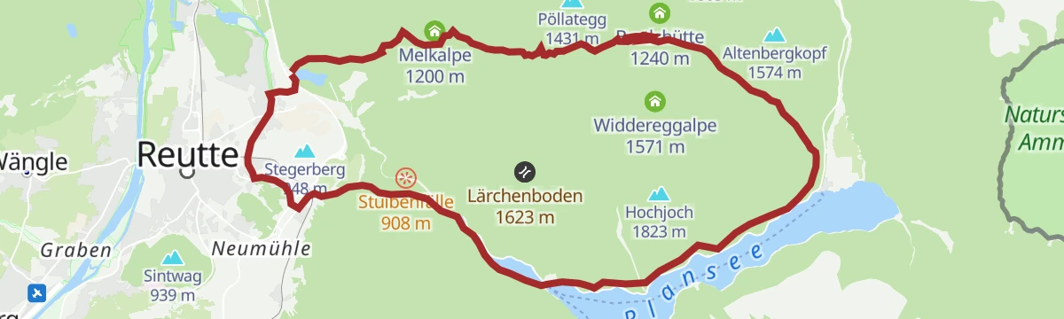
Loop from the Stuibenfälle waterfalls through the Archbach valley out to the shore of the Plansee, returning on easy paths.
- 8.3 km
- Distance
- 195 m
- Ascent
- 2 h 26 min
- Duration
- 5
- Check-ins
Gravelbike Tour 1.5 - Fünf Seen Runde
A long gravel loop north from Reutte through Pflach and Rieden to the Plansee, passing the Speckbacherhütte and the Karlift.
- 49.4 km
- Distance
- 706 m
- Ascent
- 5 h 3 min
- Duration
- 16
- Check-ins
 Speckbacherhütte 978 m
- Karliftstüberl 1 054 m
- Hüttenmühlsee 843 m
- Neuwaldalpe 1 111 m
- Kuhklause 1 109 m
Gravelbike Tour 1.5 - Fünf Seen Runde
A fifty-kilometre lake circuit on gravel and quiet lanes out of Reutte, with the Lech at Spirkenhof and the Karliftstüberl.
- 49.4 km
- Distance
- 1 053 m
- Ascent
- 5 h 22 min
- Duration
- 16
- Check-ins
- Speckbacherhütte 978 m
- Karliftstüberl 1 054 m
- Hüttenmühlsee 843 m
- Neuwaldalpe 1 111 m
- Kuhklause 1 109 m
Rundwanderung Breitenwang - Stegerberg
Short, easy loop from Breitenwang across the Stegerberg, a gentle round on quiet paths at the edge of the Reutte basin.
- 3.1 km
- Distance
- 82 m
- Ascent
- 55 min
- Duration
Wanderung zum Fort Claudia ab Breitenwang
Walk from Breitenwang to Fort Claudia, an outlying fortification of the Ehrenberg castle ensemble, passing the Claudiahütte and the Hedwigsruh.
- 7.9 km
- Distance
- 269 m
- Ascent
- 2 h 31 min
- Duration
- 3
- Check-ins
Gravelbike Tour 1.4 - Zwei Seen Runde
A gravel-bike round on forest tracks to the Plansee campsite at Seespitz, returning by the Kuhklause and the Höllkopf platform.
- 22.3 km
- Distance
- 565 m
- Ascent
- 2 h 31 min
- Duration
- 5
- Check-ins
Gravelbike Tour 1.4 - Zwei Seen Runde
A gravel tour out of Reutte linking two lakes, with the Neuwaldalpe and Kuhklause huts and a viewing platform on the Höllkopf.
- 22.3 km
- Distance
- 767 m
- Ascent
- 2 h 42 min
- Duration
- 5
- Check-ins
Rundwanderung Stuibenfälle
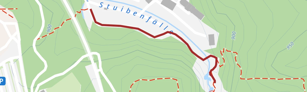
Easy circuit past the Stuibenfälle, where the Archbach drops through a series of falls between the Plansee and Reutte; footbridges give close-up views.
- 4.4 km
- Distance
- 211 m
- Ascent
- 1 h 34 min
- Duration
2 Seen Runde – MTB-Spaß rund um das Tannheimer Tal
A forest-road loop from Reutte to the Plansee shore, passing the Neuwaldalpe, the Kuhklause and the Höllkopf viewing platform.
- 22.3 km
- Distance
- 713 m
- Ascent
- 2 h 39 min
- Duration
- 5
- Check-ins
Tour zum ersten Aussichtspunkt Stuibenfälle
Very short walk from the parking area to the first viewpoint over the Stuibenfälle waterfalls, reached in a few minutes on an easy path.
- 848 m
- Distance
- 13 m
- Ascent
- 14 min
- Duration
2-Seen-Runde
A two-lake round on forest tracks above Reutte, with the Höllkopf platform on the way out and the Kuhklause for a stop.
- 22.2 km
- Distance
- 1 008 m
- Ascent
- 2 h 55 min
- Duration
- 5
- Check-ins
Wanderung auf dem Plansee Panoramahöhenweg
Balcony path above the Plansee with steady views across the fjord-like lake to the Ammergau peaks, walked with only modest ups and downs.
- 5.9 km
- Distance
- 195 m
- Ascent
- 1 h 52 min
- Duration
Kuhklause - Plansee | MTB Tour
A forest-road ride from Reutte up to the Höllkopf platform and on along the lake shore, with a hut stop at the Neuwaldalpe.
- 22.3 km
- Distance
- 768 m
- Ascent
- 2 h 42 min
- Duration
- 5
- Check-ins
No routes of this kind in Breitenwang yet.
The region's own picks

Featured route
Wanderung um den Kreckelmooser See | Barrierefrei
Level lakeside circuit of the Kreckelmooser See near Reutte, fully accessible and under a kilometre long - a gentle option for prams and wheelchairs.
Planning a trip to Breitenwang?
Everything else Tyrol has, in one place


Take Breitenwang with you into the mountains
Every route on this page with 3D terrain, GPX navigation and offline maps — including the valleys with no signal.
Data sources
- Official website: reutte.com ↗
- Routes and highlights: Naturparkregion Reutte, Lechtal Tourismus, Tannheimer Tal, Region Seefeld
- Published as open data by the tourist boards named above.
- Region summary generated from the board's own material.
