







Curated by Alpbachtal Tourismus
Breitenbach am Inn
A large farming municipality on the Inn's north bank opposite Kundl, orchards and hamlets such as Kleinsöll rising toward the Brandenberg foothills.
- 11Highlights
- 27Routes
- Featured summit · Kienberg
Highlights
4 from neighbouring places
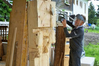
Bildhauerei Ruprechter
The Ruprechter sculpture workshop in Breitenbach am Inn, producing carved and hewn work for churches, farms and private clients.
Antnerkapelle
A farm chapel known as the Antnerkapelle in the hills between Kramsach and Breitenbach, part of the region's rural chapel heritage.
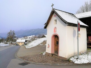
Antoniuskapelle
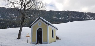
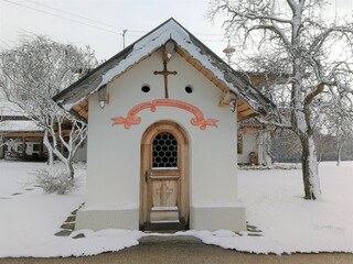
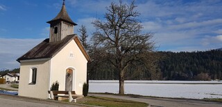
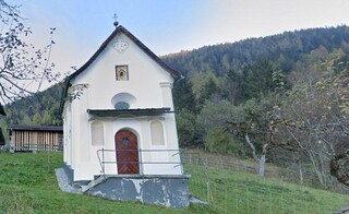
A chapel dedicated to St Anthony in Breitenbach am Inn, a small devotional stop among the village's fields.
Dattlkapelle
A farm chapel known as the Dattlkapelle near Breitenbach am Inn, part of the dense chapel landscape of the lower Inn valley.
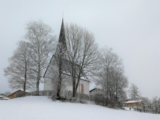
Filialkirche Johannes d. Täufer- Kleinsöll
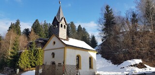
A filial church of St John the Baptist in Kleinsöll, a hamlet of Breitenbach am Inn on the terrace above the river.
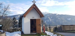
Gattererkapelle
A farm chapel at the Gatterer farmstead near Kleinsöll in Breitenbach am Inn, built and kept by the farming family.
Jocherkapelle
A small chapel at the Jocher farm in the hills between the Inn valley and Brandenberg, typical of Tirol's private farm chapels.
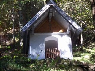
Mahdkapelle
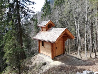
A chapel in the hills north of the Inn valley near Breitenbach; the name refers to mown mountain meadows (Mahd).
Mariahilfkapelle
A Marian chapel (Maria Hilf) in the hills near Breitenbach, one of the small shrines that punctuate the farm roads north of the Inn.
Pfarrkirche zum Hl. Petrus
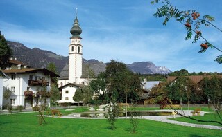
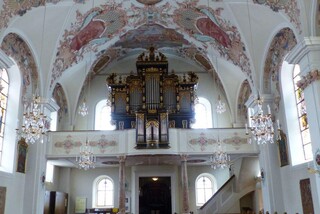
The parish church of St Peter in Breitenbach am Inn, the main church of the farming village on the sunny north side of the Inn valley.
Thaler Kapelle
A farm chapel at Thal near Breitenbach am Inn, serving the scattered farms on the northern terraces of the Inn valley.
Quelle der Seele
2.9 km away, in Kundl
A spring in the wooded hills above Kundl laid out as a quiet resting place; the name translates as 'spring of the soul'.
Atzlkapelle
3 km away, in Brandenberg
A farm chapel called the Atzlkapelle in the Brandenberg area, one of the quiet devotional buildings of the upland valley.
Pfarrkirche Maria Himmelfahrt
3.4 km away, in Kundl
The parish church of the Assumption in Kundl, the main church of the market village on the Inn between Wörgl and Rattenberg.
Lindner Innovationszentrum mit Museum
3.4 km away, in Kundl
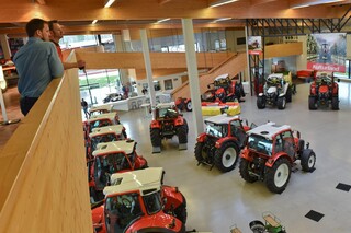
The visitor centre of tractor maker Lindner in Kundl, pairing a showcase of current machines with a museum of historic Lindner tractors.
Nothing of this kind in Breitenbach am Inn.
Routes
Schneerosentalweg - Breitenbach
Level walk near Breitenbach am Inn through a shallow valley named for the snow roses that bloom in early spring, passing the Hagerhof farm.
- 5.4 km
- Distance
- 46 m
- Ascent
- 1 h 22 min
- Duration
- 1
- Check-ins
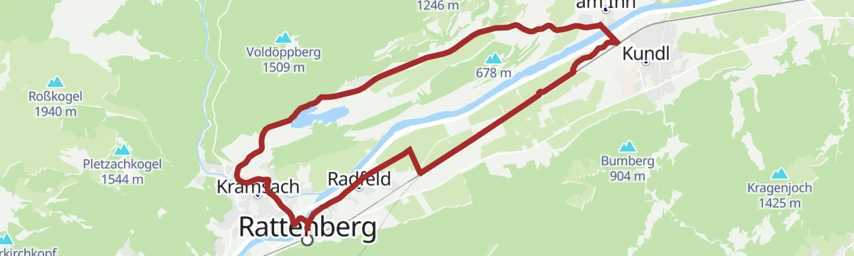
Etappe 5: Breitenbach - Kramsach EUREGIO Marien-Weg M4
Fifth leg of the EUREGIO Marien-Weg pilgrimage route, a gentle stage from Breitenbach to Kramsach passing the Krummsee and the Buchsee.
- 10.4 km
- Distance
- 140 m
- Ascent
- 2 h 45 min
- Duration
- 13
- Check-ins
Voldöpper Spitze Rundwanderung
Circuit over the Voldöppberg and the Voldöpper Spitze above Kramsach, starting near the Reintalersee and passing the Berglsteiner See on the return.
- 12.9 km
- Distance
- 968 m
- Ascent
- 6 h 20 min
- Duration
- 41
- Check-ins
2. Tag - Mountainbike Runde Alpbachtal
A big day in the Alpbachtal linking the Holzalm, the Achentalalm and the Bischoferjoch hut, with lakeside stops down at 570 m.
- 43.6 km
- Distance
- 1 464 m
- Ascent
- 5 h 24 min
- Duration
- 67
- Check-ins
Rennrad 01 Alpbachtal Giro
A big road day from the lower Inn valley over the Kerschbaumer Sattel at 1,113 m, with the lakes near Kramsach at start and finish.
- 117.2 km
- Distance
- 2 003 m
- Ascent
- 12 h 17 min
- Duration
- 58
- Check-ins
Breitenbach Dorfwanderung Bichlrunde
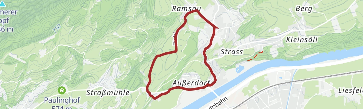
Unhurried village loop through Breitenbach am Inn's farmland, over a gentle rise and back between the houses — a good evening walk.
- 4.4 km
- Distance
- 40 m
- Ascent
- 1 h 7 min
- Duration
Breitenbach Dorfwanderung Butterbichlrunde
Village circuit at Breitenbach am Inn over a gentle wooded knoll, with the Badesee Badl swimming lake a tempting stop in warm weather.
- 8.2 km
- Distance
- 205 m
- Ascent
- 2 h 26 min
- Duration
 Butterbichl 731 m
 Badesee Badl 504 m
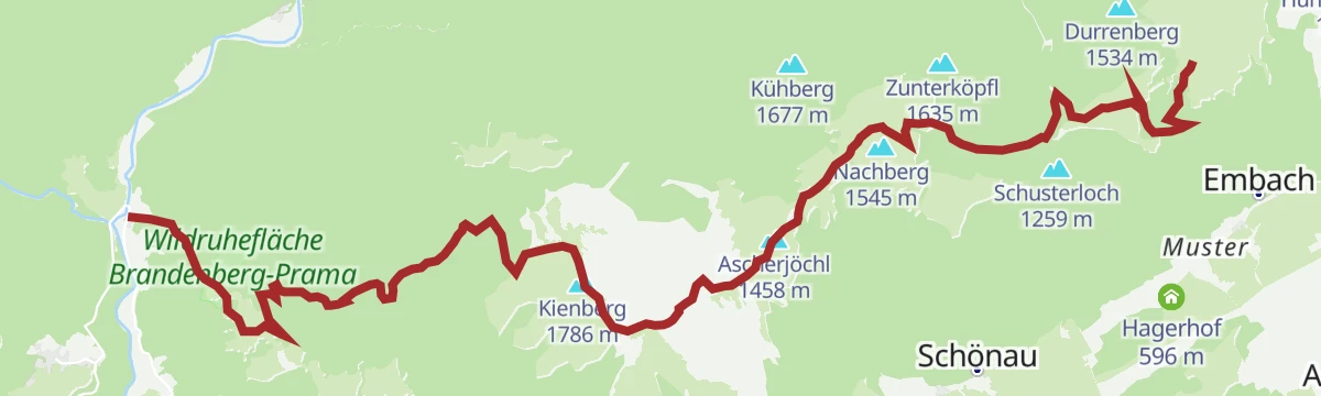
Adlerweg-Etappe 05: Buchacker – Gwercherwirt
Adlerweg stage from the Buchackeralm to the Gwercherwirt in the Brandenberg mountains, crossing Heuberg, Kienberg and Plessenberg on a long ridge day.
- 15.6 km
- Distance
- 943 m
- Ascent
- 7 h 45 min
- Duration
- 37
- Check-ins
Kaiserhausrunde
A long forest-road round from the Thiersee over the Ackernalm and Grabenbergalm and back past the old Zollhütte.
- 35.8 km
- Distance
- 1 359 m
- Ascent
- 4 h 28 min
- Duration
- 13
- Check-ins
Rennrad 08 Pölvenrunde
A long road circuit from the lower Inn valley over to Hopfgarten in the Brixental, returning by Mariastein and Angerberg.
- 82.2 km
- Distance
- 1 004 m
- Ascent
- 8 h 14 min
- Duration
- 50
- Check-ins
Waldtalweg - Breitenbach
Forest-valley loop from Breitenbach am Inn past the Badl lake and the Egellacke pond, on mostly shaded tracks that stay pleasant on hot days.
- 10.0 km
- Distance
- 175 m
- Ascent
- 2 h 46 min
- Duration
- Badesee Badl 504 m
- Egellacke 623 m
 Hartl 635 m
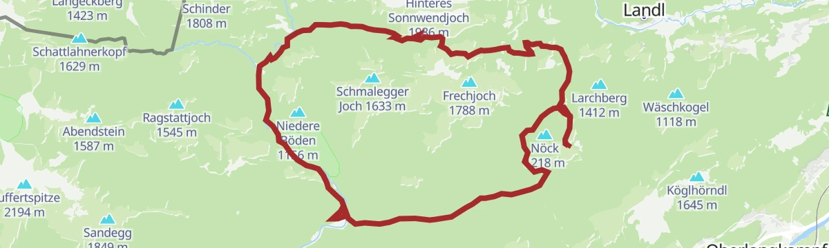
Breitenbacher Almwanderung
A round of Breitenbach's high alms — Thaler Hütte, Ruraalm and Aschaalm — climbing a solid 1,000 m through forest before pasture country opens on top.
- 10.7 km
- Distance
- 959 m
- Ascent
- 6 h 2 min
- Duration
- 2
- Check-ins
16 - Radmarathon Seenrunde
A long-distance road circuit from the Angerberg terrace down to the bathing lakes near Kramsach and back by way of Mariastein.
- 94.3 km
- Distance
- 1 610 m
- Ascent
- 9 h 53 min
- Duration
- 42
- Check-ins
Jakobsweg ab Breitenbach
A 25 km leg of the Tyrolean Jakobsweg from Breitenbach along the Inn, passing the Badesee Badl and a woodcutters' hut on the way toward Rattenberg.
- 25.3 km
- Distance
- 342 m
- Ascent
- 6 h 50 min
- Duration
- 2
- Check-ins
- Tourismusinformation Rattenberg-Radfeld-Brixlegg 516 m
- Holzfällerhütte 577 m
- Badesee Badl 504 m
01A - Seenrundfahrt - Variante Brandenberg
A long road loop through the lower Inn valley and up the side valley to Brandenberg, taking in the small lakes around Kramsach.
- 90.9 km
- Distance
- 1 593 m
- Ascent
- 9 h 34 min
- Duration
- 39
- Check-ins
Rennrad 07 Kufstein Festungsrunde
A long road loop down the Inn valley to the fortress town of Kufstein and back, starting from the lakes near Kramsach.
- 75.9 km
- Distance
- 650 m
- Ascent
- 7 h 21 min
- Duration
- 38
- Check-ins
Rennradrunde - Reintaler Seen
A long road circuit from the Inn valley up to the lakes above Kramsach, with inns and campsites along the shore.
- 69.9 km
- Distance
- 655 m
- Ascent
- 6 h 49 min
- Duration
- 34
- Check-ins
Rennrad 03 Angerberg
A road tour from the lakes at Kramsach onto the terrace above the lower Inn valley, returning through Rattenberg and Brixlegg.
- 59.3 km
- Distance
- 473 m
- Ascent
- 5 h 42 min
- Duration
- 33
- Check-ins
Rennrad 06 Brandenberg-Breitenbach
A road ride out of Radfeld into the side valley north of Rattenberg, returning along the Inn by way of Kramsach.
- 44.3 km
- Distance
- 687 m
- Ascent
- 4 h 35 min
- Duration
- 28
- Check-ins
Rennrad 04 Kleine Seenrunde
A short, flat road round between Radfeld and the lakes at Kramsach, passing Toni's Seealm and the guesthouses along the shore.
- 30.2 km
- Distance
- 223 m
- Ascent
- 2 h 53 min
- Duration
- 27
- Check-ins
Kramsacher Seen Radrunde (507)
A flat circuit around the lakes on the valley floor, past Toni's Seealm and the Fischerstube, with campsites and inns along the shore.
- 19.6 km
- Distance
- 67 m
- Ascent
- 1 h 48 min
- Duration
- 26
- Check-ins
Gravelbiketour: Reintaler Seenrunde
A gravel loop out of Kundl to the lakes at Kramsach, running past Toni's Seealm and the shoreline campsites before the valley return.
- 62.9 km
- Distance
- 558 m
- Ascent
- 6 h 6 min
- Duration
- 25
- Check-ins
Inntaler Seen Runde
A road tour dropping from the Wildschönau to the campsites by the lakes at 575 m, then climbing over 1,200 m back to the Almhof.
- 53.1 km
- Distance
- 1 209 m
- Ascent
- 5 h 51 min
- Duration
- 16
- Check-ins
14 - Radmarathon Panoramarunde
A road circuit on the terraces above the Inn between Kufstein and Mariastein, passing the Strillinger Stausee and the Lurchweiher.
- 47.4 km
- Distance
- 672 m
- Ascent
- 4 h 50 min
- Duration
- 9
- Check-ins
- Infopoint Angerberg/Mariastein 647 m
- Lurchweiher 484 m
- Strillinger Stausee 524 m
- Tiroler Fliegerstube 486 m
- Metallveredelung Huber 486 m
Thierseerunde
A long circuit north of the Inn through the Thiersee basin, crossing the Marblinger Höhe and reaching the Kaiserhaus in the Brandenberg valley.
- 78.1 km
- Distance
- 1 462 m
- Ascent
- 8 h 19 min
- Duration
- 9
- Check-ins
Durch die ruhigen Brandenberger Alpen graveln
A gravel loop over the Ursprungpass into the Brandenberg valley, passing the Kaiserhaus and climbing again by the Elendalm.
- 47.9 km
- Distance
- 1 526 m
- Ascent
- 5 h 41 min
- Duration
- 7
- Check-ins
Schönau Radrunde (508)
A short climb out of the Inn valley onto the Angerberg terrace by Mariastein, then an easy roll back down to the river.
- 19.5 km
- Distance
- 290 m
- Ascent
- 2 h
- Duration
- 6
- Check-ins
No routes of this kind in Breitenbach am Inn yet.
The region's own picks

Featured route
Schneerosentalweg - Breitenbach
Level walk near Breitenbach am Inn through a shallow valley named for the snow roses that bloom in early spring, passing the Hagerhof farm.
Planning a trip to Breitenbach am Inn?
Everything else Tyrol has, in one place


Take Breitenbach am Inn with you into the mountains
Every route on this page with 3D terrain, GPX navigation and offline maps — including the valleys with no signal.
Data sources
- Official website: alpbachtal.at ↗
- Routes and highlights: Alpbachtal Tourismus, Kufsteinerland, Kitzbüheler Alpen Tourismus, Wildschönau Tourismus
- Published as open data by the tourist boards named above.
- Region summary generated from the board's own material.
