
 Mountain hut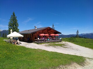







Curated by Alpbachtal Tourismus
Brandenberg
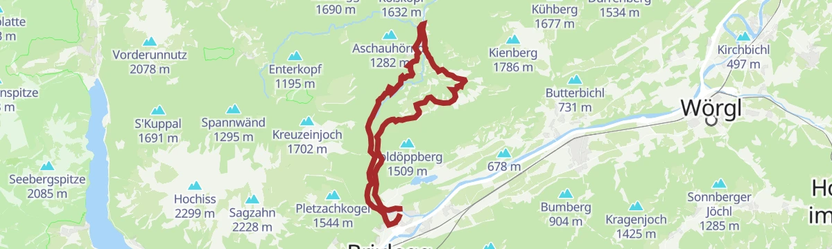
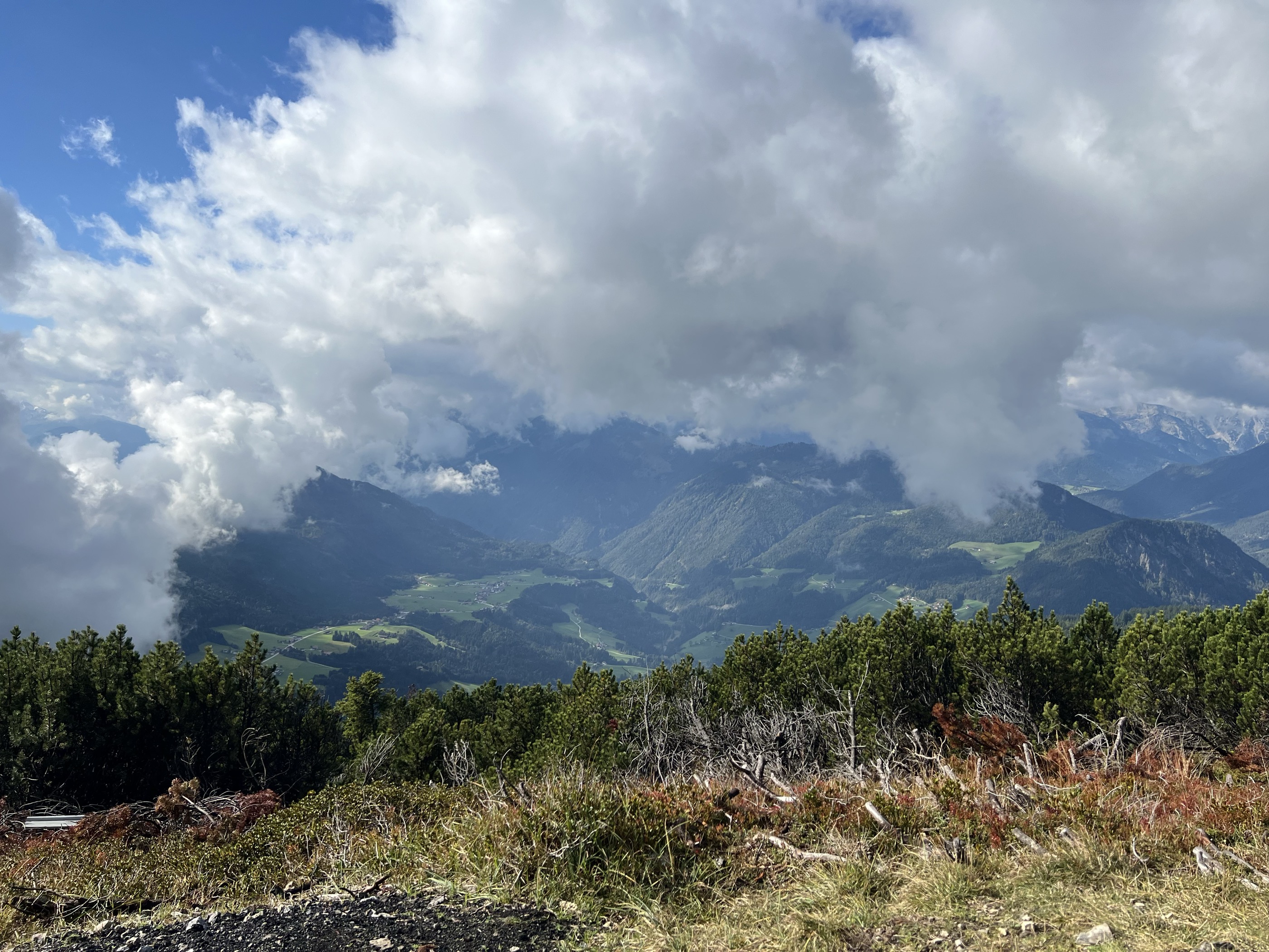
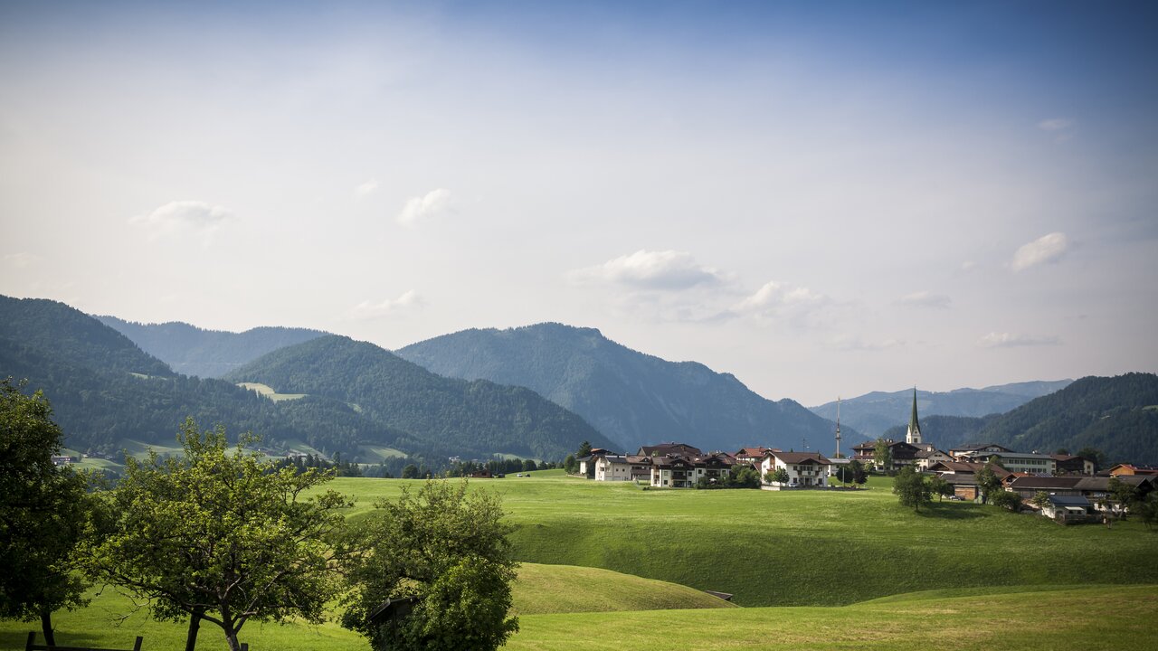
Scattered high pastures at about 900 m in the Brandenberg Alps north of the Inn, where the Brandenberger Ache carves the Tiefenbach and Kaiserklamm gorges.
- 11Highlights
- 20Routes
- Featured summit · Kienberg
Highlights
4 from neighbouring places
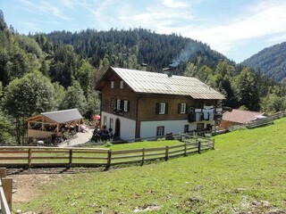
Jausenstation Tiefenbachklamm
A snack station at the Tiefenbachklamm, serving hikers on the gorge trail along the Brandenberger Ache below Brandenberg.
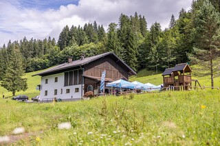
Anderl's Almhütte
An alpine pasture hut in the Brandenberg mountains north of the Inn valley, a stop for walkers with simple home cooking.
Jausenstation Erzherzog Johann Klause
An inn at the Erzherzog-Johann-Klause, a 19th-century timber-rafting dam deep in the Brandenberg valley, reached on foot or by bike along the Ache.
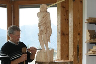
Bildhauer Herbert Gwercher
The Brandenberg studio of the sculptor Herbert Gwercher, one of several artists working in the villages of the Alpbachtal region.
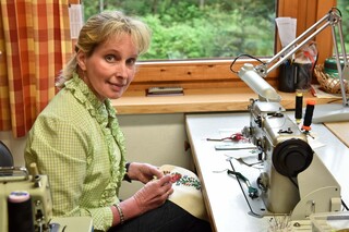
Trachtenschneiderin Roswitha Arzberger
The workshop of tailor Roswitha Arzberger in Brandenberg, who sews traditional Tyrolean costume (Tracht) largely by hand.
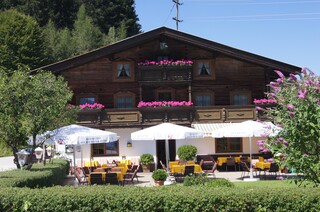
Jausenstation Stegerstall
A snack station at Brandenberg serving hikers in the quiet upland valley north of the Inn, with simple farmhouse fare.
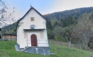
Atzlkapelle
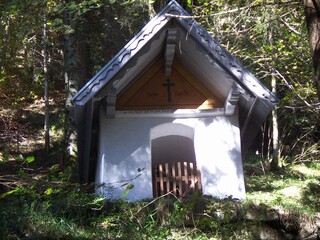
A farm chapel called the Atzlkapelle in the Brandenberg area, one of the quiet devotional buildings of the upland valley.
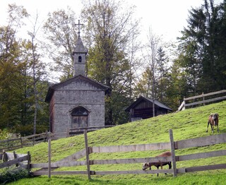
Erzherzog-Johann-Kapelle
A chapel at the Erzherzog-Johann-Klause in the upper Brandenberg valley, named, like the historic timber-rafting dam there, after Archduke Johann.
Filialkirche Aschau in Brandenberg
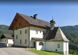
A filial church in the hamlet of Aschau in the Brandenberg valley, a modest place of worship for the outlying farms.
Hachakapelle
A farm chapel known as the Hachakapelle in the Brandenberg uplands, serving remote farms north of the Inn valley.
Pfarrkirche Brandenberg zum hl. Georg
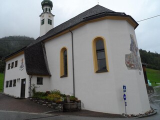
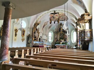
The parish church of St George in Brandenberg, standing above the village of the high plateau settlement north of the Inn.
Jocherkapelle
7.9 km away, in Breitenbach am Inn
A small chapel at the Jocher farm in the hills between the Inn valley and Brandenberg, typical of Tirol's private farm chapels.
Bio Almkäserei Ackernalm
8 km away, in Thiersee
An organic alpine cheese dairy on the Ackernalm high pasture above Thiersee, where cheese is made from summer milk and sold at the hut.
Antnerkapelle
8.4 km away, in Breitenbach am Inn
A farm chapel known as the Antnerkapelle in the hills between Kramsach and Breitenbach, part of the region's rural chapel heritage.
Mariahilfkapelle
8.8 km away, in Breitenbach am Inn
A Marian chapel (Maria Hilf) in the hills near Breitenbach, one of the small shrines that punctuate the farm roads north of the Inn.
Nothing of this kind in Brandenberg.
Routes
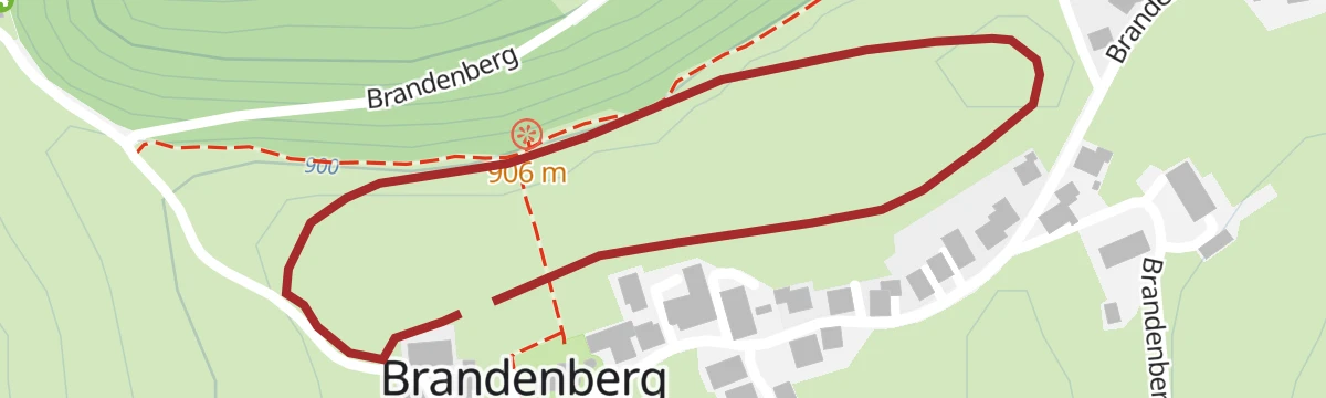
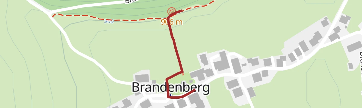
Dorfwanderweg - Brandenberg
Village discovery loop through Brandenberg's scattered mountain settlement, connecting the church, the Kogl farms and flowery meadows above the Ache gorge.
- 4.0 km
- Distance
- 89 m
- Ascent
- 1 h 10 min
- Duration
Almwanderung Anderl´s Almhütte
Alm walk above Brandenberg with two hut stops — out to the Eilalm past a small serviced hütte and home through the Wimm farms on quiet tracks.
- 7.6 km
- Distance
- 353 m
- Ascent
- 2 h 40 min
- Duration
- 5
- Check-ins
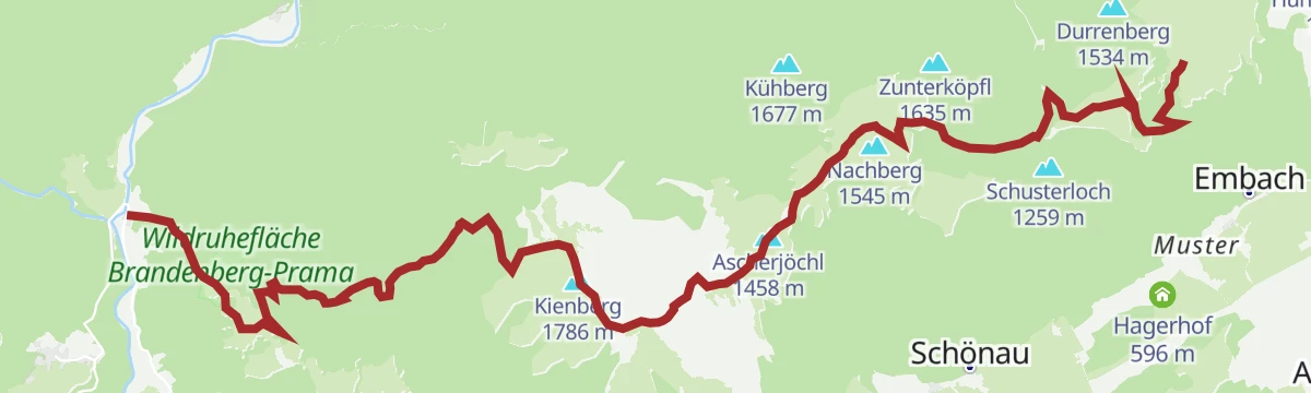
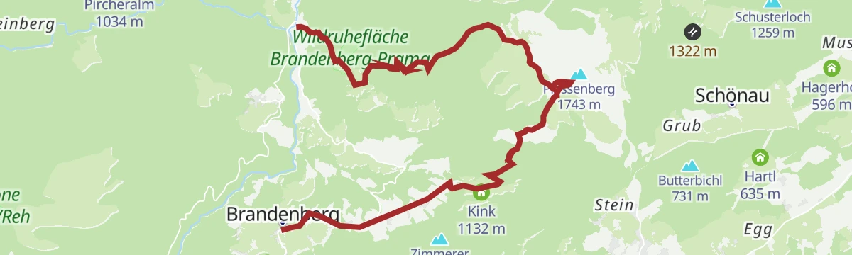
Adlerweg-Etappe 05: Buchacker – Gwercherwirt
Adlerweg stage from the Buchackeralm to the Gwercherwirt in the Brandenberg mountains, crossing Heuberg, Kienberg and Plessenberg on a long ridge day.
- 15.6 km
- Distance
- 943 m
- Ascent
- 7 h 45 min
- Duration
- 37
- Check-ins
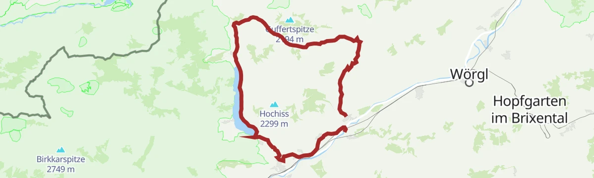
3. Tag - Mountainbike Runde Alpbachtal
A long stage from the Inn valley at Kramsach over to the Achensee, riding the lake shore at Achenkirch before the return.
- 62.3 km
- Distance
- 1 100 m
- Ascent
- 6 h 34 min
- Duration
- 53
- Check-ins
Rennrad 01 Alpbachtal Giro
A big road day from the lower Inn valley over the Kerschbaumer Sattel at 1,113 m, with the lakes near Kramsach at start and finish.
- 117.2 km
- Distance
- 2 003 m
- Ascent
- 12 h 17 min
- Duration
- 58
- Check-ins
Kirchrain Rundwanderweg
Very short stroll around Brandenberg's church hill, level enough for all ages, with benches and open views across the village's mountain pastures.
- 1.1 km
- Distance
- 0 m
- Ascent
- 16 min
- Duration
Erlebniswanderung Tiefenbachklamm
Gorge walk along the Brandenberger Ache on secured paths above rapids and water-smoothed rock, climbing out past a jausenstation to the village of Brandenberg.
- 5.7 km
- Distance
- 703 m
- Ascent
- 3 h 33 min
- Duration
- 2
- Check-ins
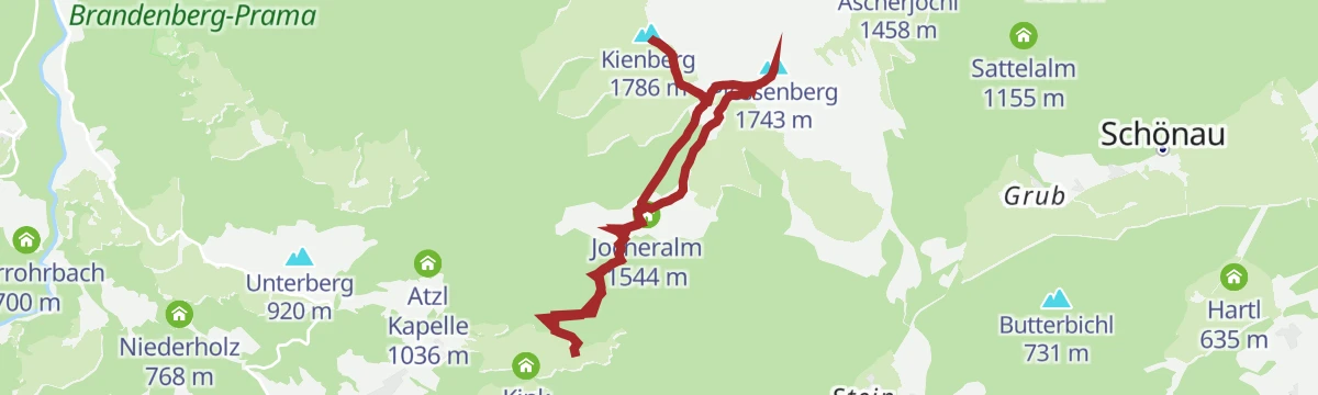
3-Gipfel-Tour Kienberg-Plessenberg-Heuberg
Compact three-summit round over Kienberg, Plessenberg and Heuberg above the Inntal, with around 900 m of climbing from the Jocheralm side.
- 8.6 km
- Distance
- 770 m
- Ascent
- 4 h 50 min
- Duration
- 34
- Check-ins
Kaiserhausrunde
A long forest-road round from the Thiersee over the Ackernalm and Grabenbergalm and back past the old Zollhütte.
- 35.8 km
- Distance
- 1 359 m
- Ascent
- 4 h 28 min
- Duration
- 13
- Check-ins
01A - Seenrundfahrt - Variante Brandenberg
A long road loop through the lower Inn valley and up the side valley to Brandenberg, taking in the small lakes around Kramsach.
- 90.9 km
- Distance
- 1 593 m
- Ascent
- 9 h 34 min
- Duration
- 39
- Check-ins
Spaziergang zur Plattform (barrierefrei)
Barrier-free 300 m path to a viewing platform above the Brandenberger Ache, built so wheelchairs and prams can reach the gorge outlook.
- 302 m
- Distance
- 0 m
- Ascent
- 4 min
- Duration
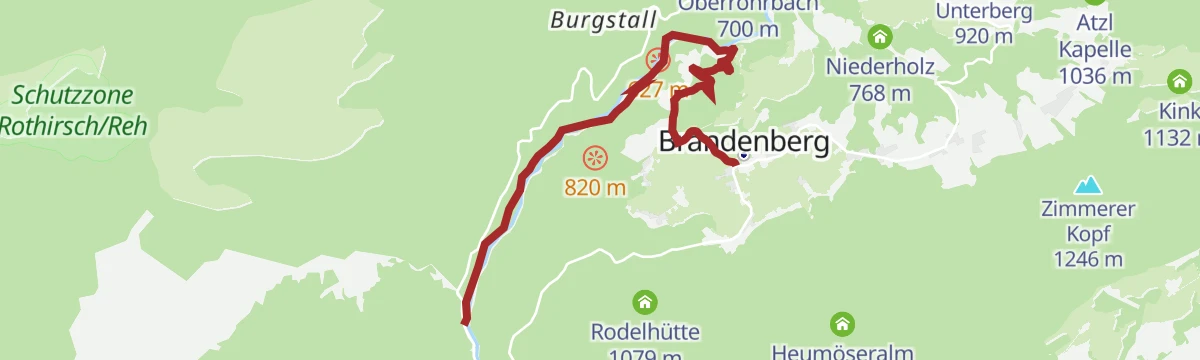
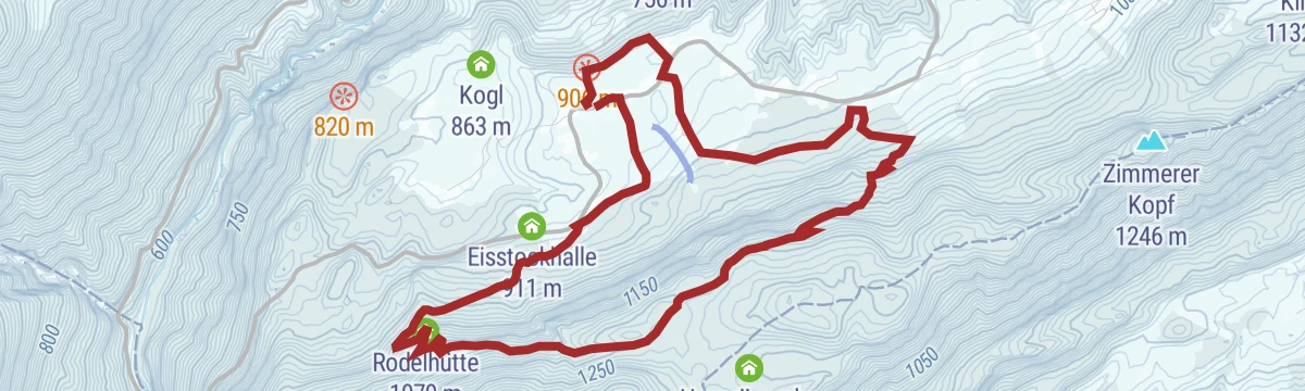
Brandenberg Dorfwanderung Rodelhütte
A half-day walk from the village up the hillside to the Rodelhütte at just over a thousand metres, returning past the Kienleitenlift.
- 8.1 km
- Distance
- 310 m
- Ascent
- 2 h 40 min
- Duration
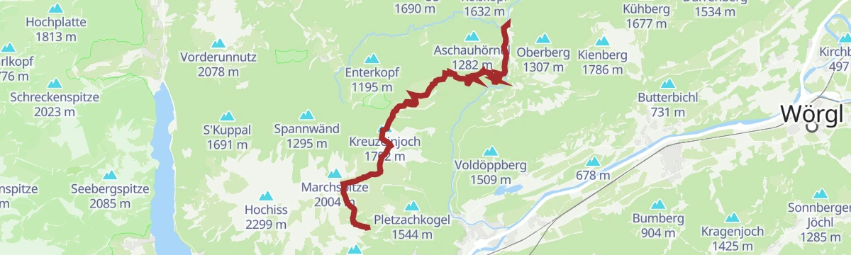
Tag 3: 4 Tage - 4 Gipfeltour
Third day of the four-day summit tour in the Rofan foothills, from the Bayreuther Hütte past the Zireiner Alm over the Roßkogel and Kreuzeinjoch — a long ridge stage.
- 19.2 km
- Distance
- 1 388 m
- Ascent
- 7 h 30 min
- Duration
- 33
- Check-ins
Rennrad 06 Brandenberg-Breitenbach
A road ride out of Radfeld into the side valley north of Rattenberg, returning along the Inn by way of Kramsach.
- 44.3 km
- Distance
- 687 m
- Ascent
- 4 h 35 min
- Duration
- 28
- Check-ins
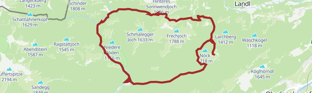
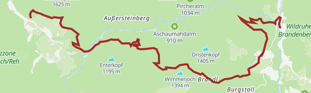
Tag 2: 4 Tage - 4 Gipfeltour
Second day of the four-summit trek: a long haul from Brandenberg over the Heuberg and Kienberg, stringing together the Jocheralm, Einkehralm and Heubrandalm.
- 20.2 km
- Distance
- 1 271 m
- Ascent
- 9 h 9 min
- Duration
- 29
- Check-ins
Thierseerunde
A long circuit north of the Inn through the Thiersee basin, crossing the Marblinger Höhe and reaching the Kaiserhaus in the Brandenberg valley.
- 78.1 km
- Distance
- 1 462 m
- Ascent
- 8 h 19 min
- Duration
- 9
- Check-ins
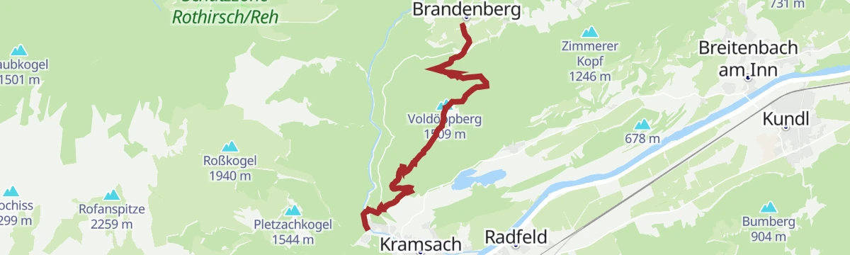
Tag 1: 4 Tage - 4 Gipfeltour
Opening day of the four-summit tour: from Kramsach steeply up the Voldöppberg and on to the Voldöpper Spitze, a fine balcony over the lower Inn valley.
- 9.8 km
- Distance
- 958 m
- Ascent
- 5 h 14 min
- Duration
- 15
- Check-ins
Durch die ruhigen Brandenberger Alpen graveln
A gravel loop over the Ursprungpass into the Brandenberg valley, passing the Kaiserhaus and climbing again by the Elendalm.
- 47.9 km
- Distance
- 1 526 m
- Ascent
- 5 h 41 min
- Duration
- 7
- Check-ins
Adlerweg-Etappe 06: Pinegg – Steinberg am Rofan
Eagle Walk stage from Pinegg through Brandenberg's forests and alm clearings — Lahnalm, Haaserwirt — to Steinberg am Rofan at the foot of the Rofan cliffs.
- 17.8 km
- Distance
- 1 011 m
- Ascent
- 6 h 30 min
- Duration
- 1
- Check-ins
Radrunde Kramsach-Brandenberg (506)
A demanding loop out of the Inn valley, climbing to the Eisstockhalle in the Brandenberg side valley before dropping back to the river.
- 27.1 km
- Distance
- 632 m
- Ascent
- 2 h 60 min
- Duration
- 5
- Check-ins
No routes of this kind in Brandenberg yet.
The region's own picks
Featured route
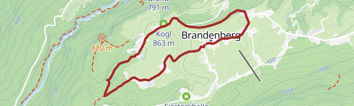
Dorfwanderweg - Brandenberg
Village discovery loop through Brandenberg's scattered mountain settlement, connecting the church, the Kogl farms and flowery meadows above the Ache gorge.
Planning a trip to Brandenberg?
Everything else Tyrol has, in one place


Take Brandenberg with you into the mountains
Every route on this page with 3D terrain, GPX navigation and offline maps — including the valleys with no signal.
Data sources
- Official website: alpbachtal.at ↗
- Routes and highlights: Alpbachtal Tourismus, Kufsteinerland, Kitzbüheler Alpen Tourismus
- Published as open data by the tourist boards named above.
- Region summary generated from the board's own material.
