
 Cable car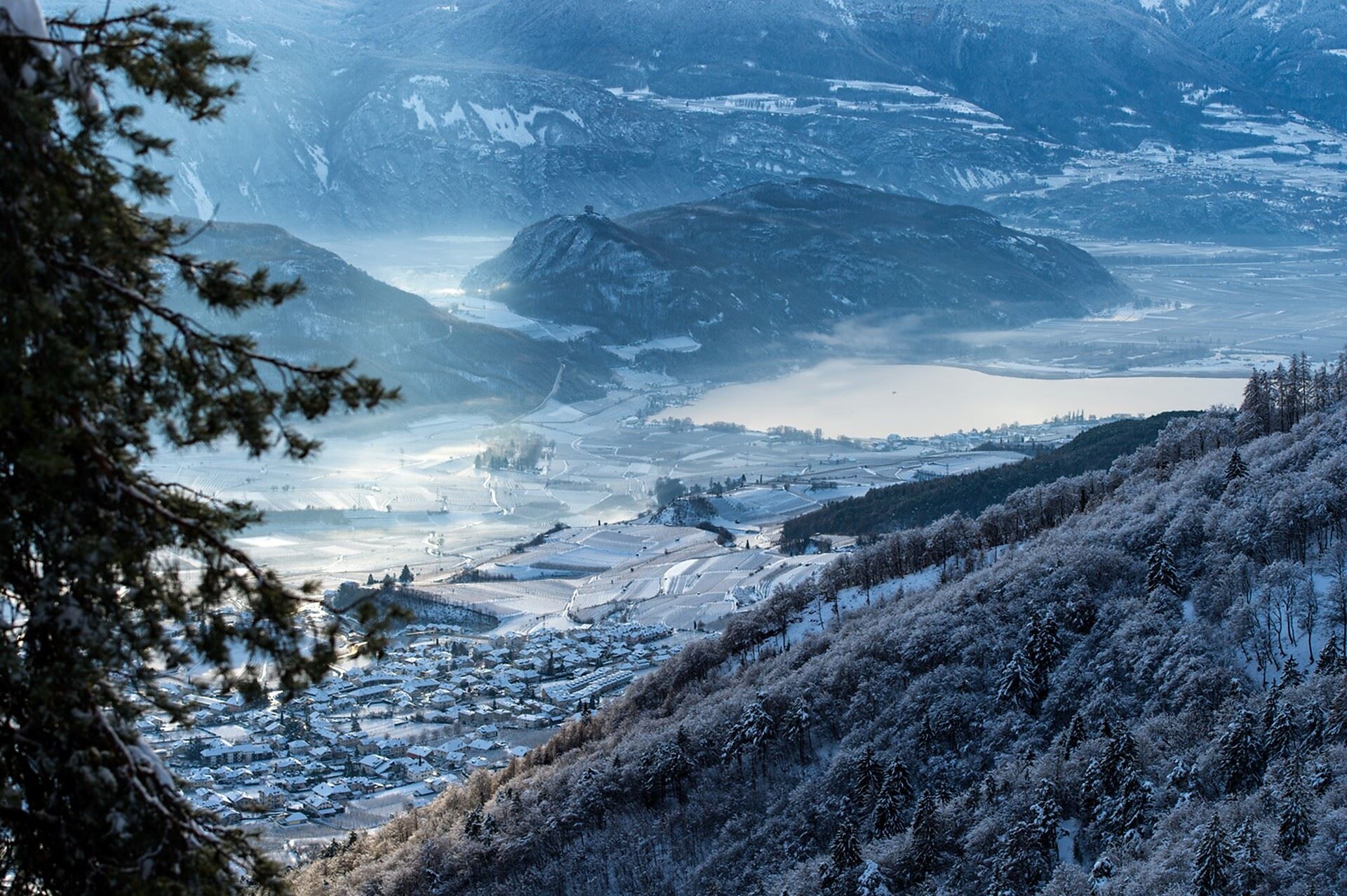
 Historic site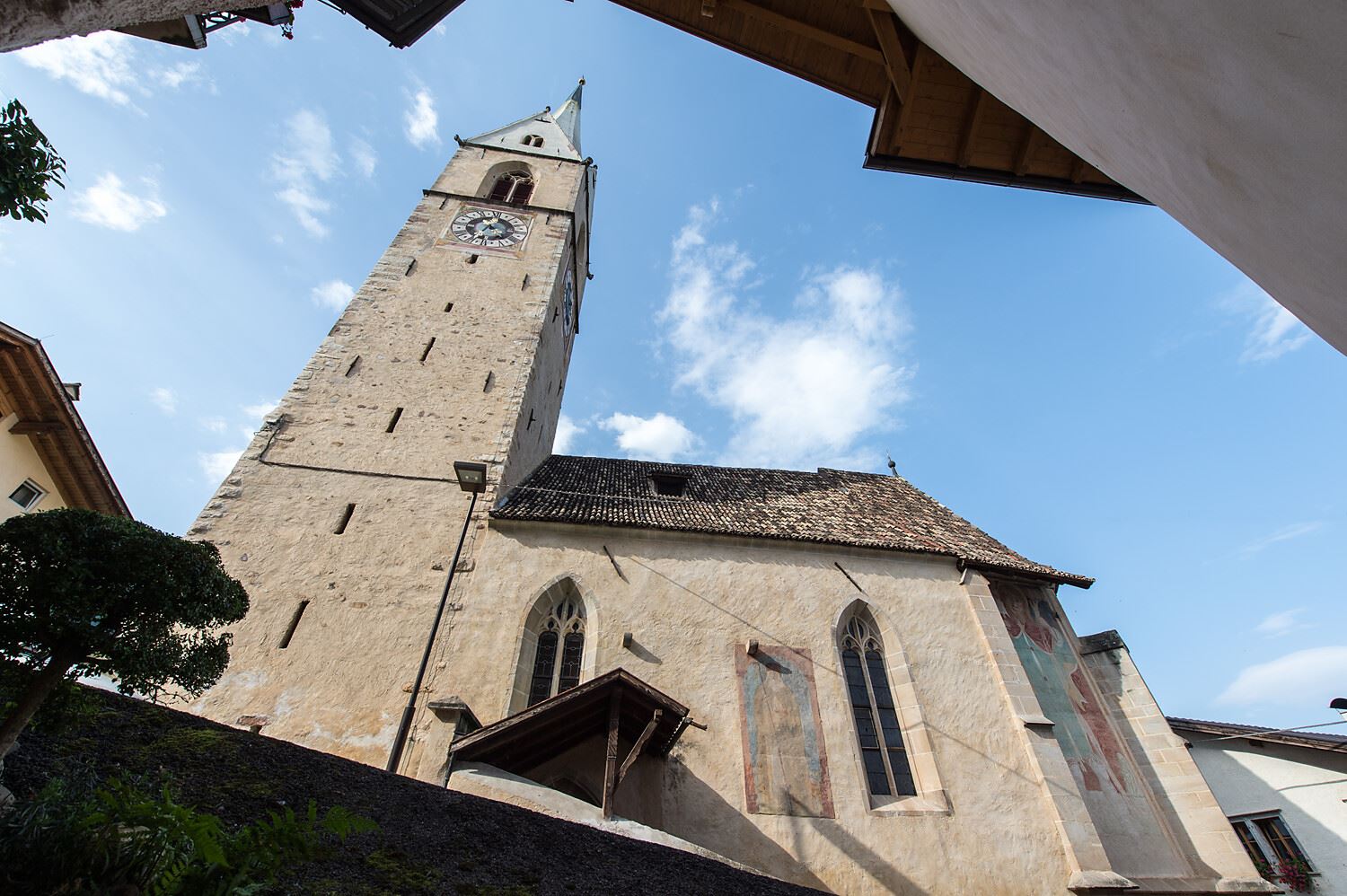
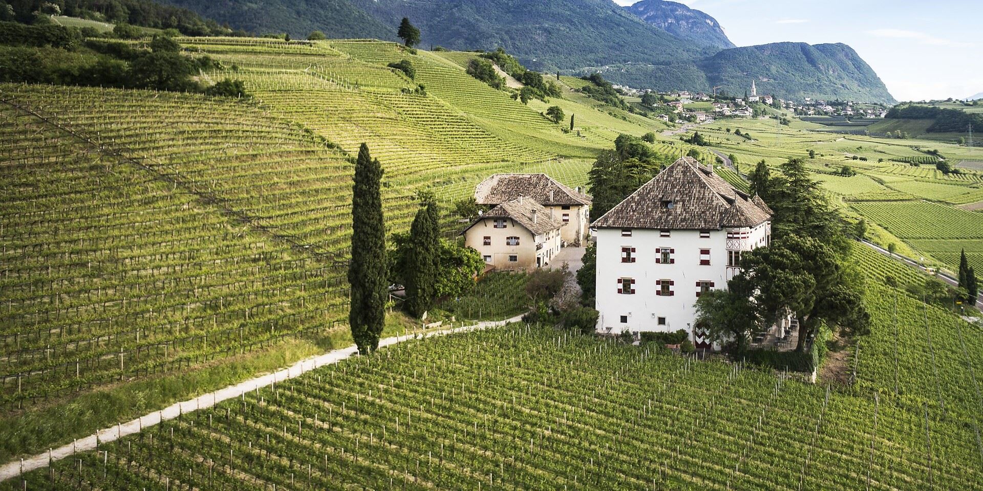
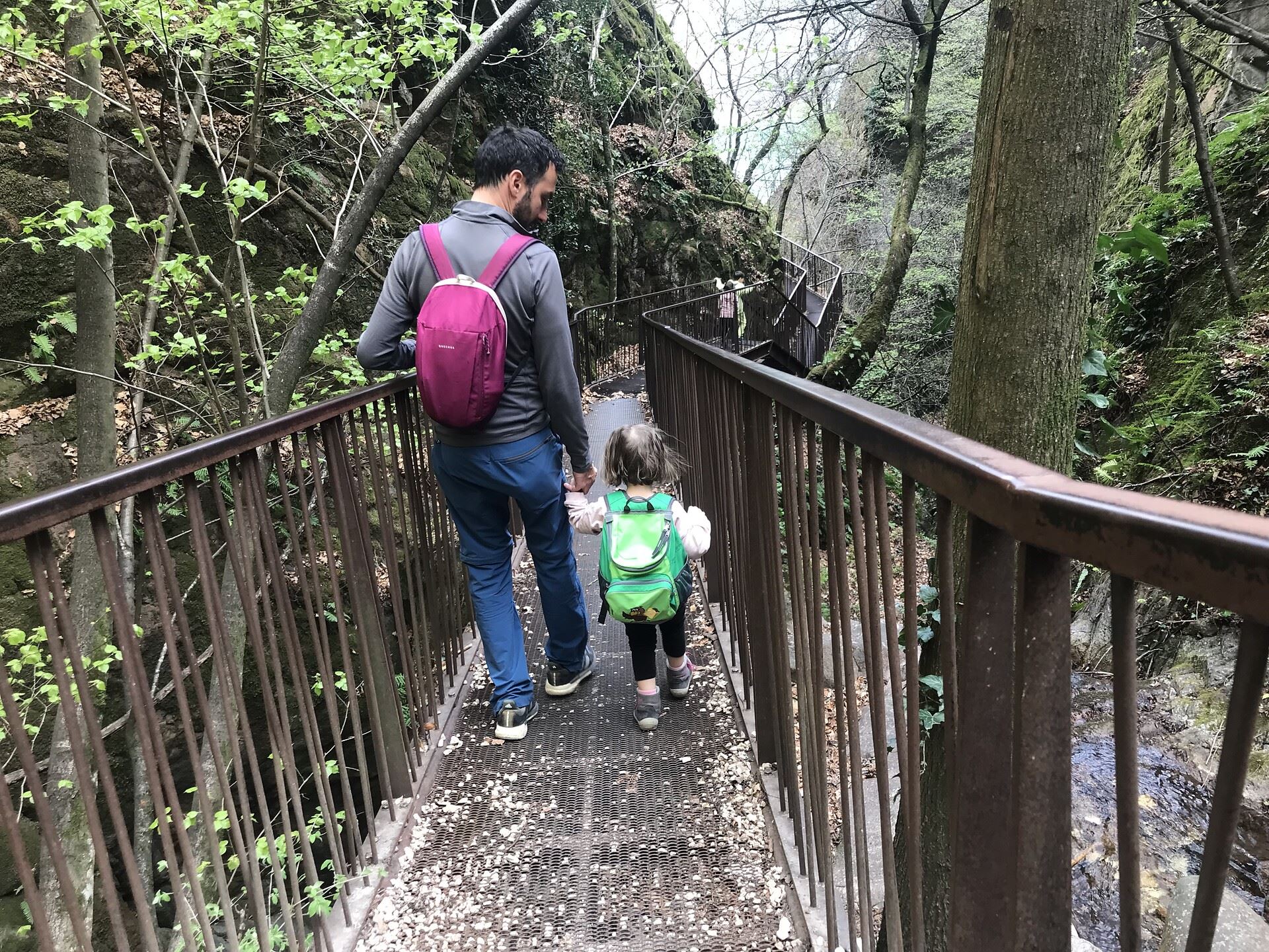
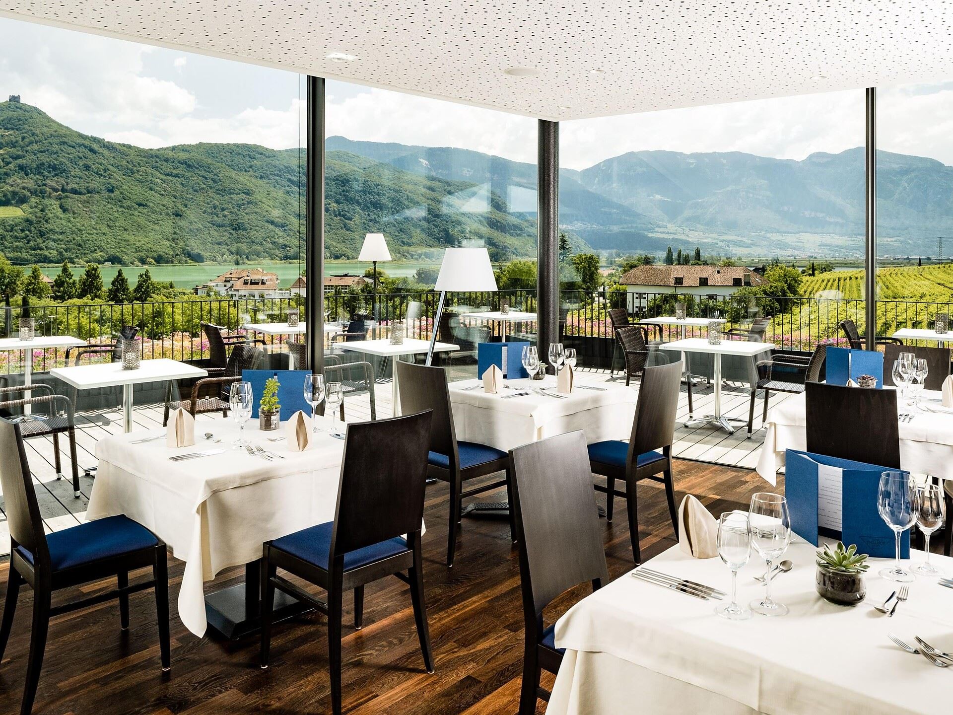







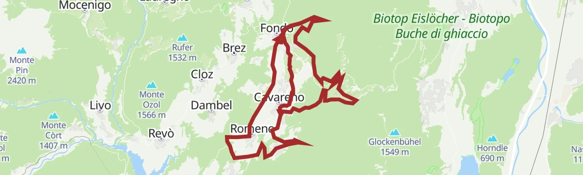


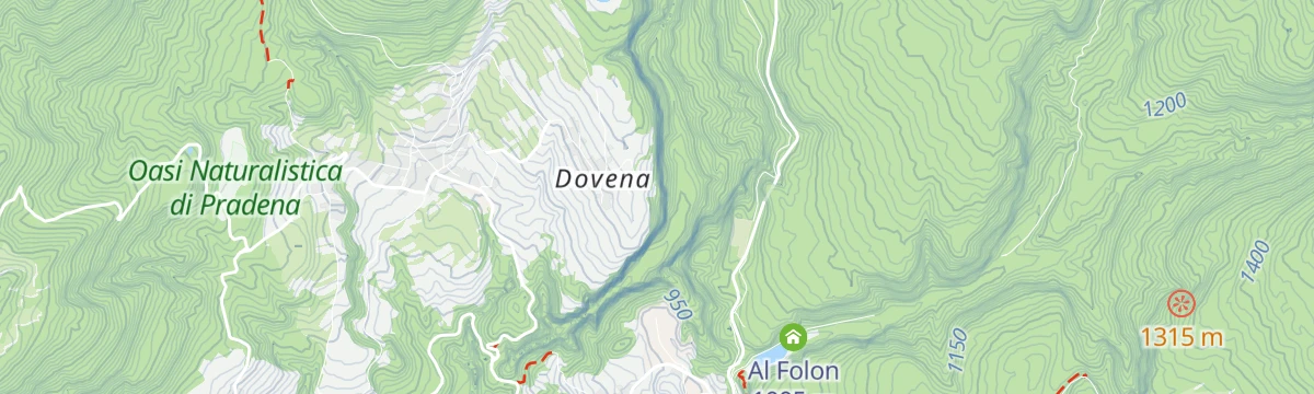

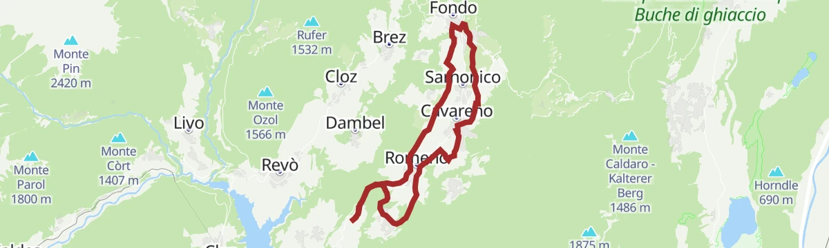
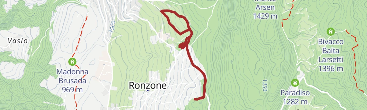










Curated by APT Val di Non
Borgo d'Anaunia
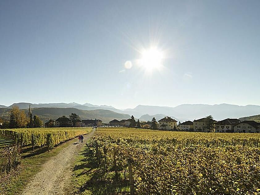
Val di Non comune seated at Fondo, on the high terraces below the Mendola and the Roen ridge.
- 15Highlights
- 49Routes
- Featured summit · Laugen
Highlights
All 15 from neighbouring places
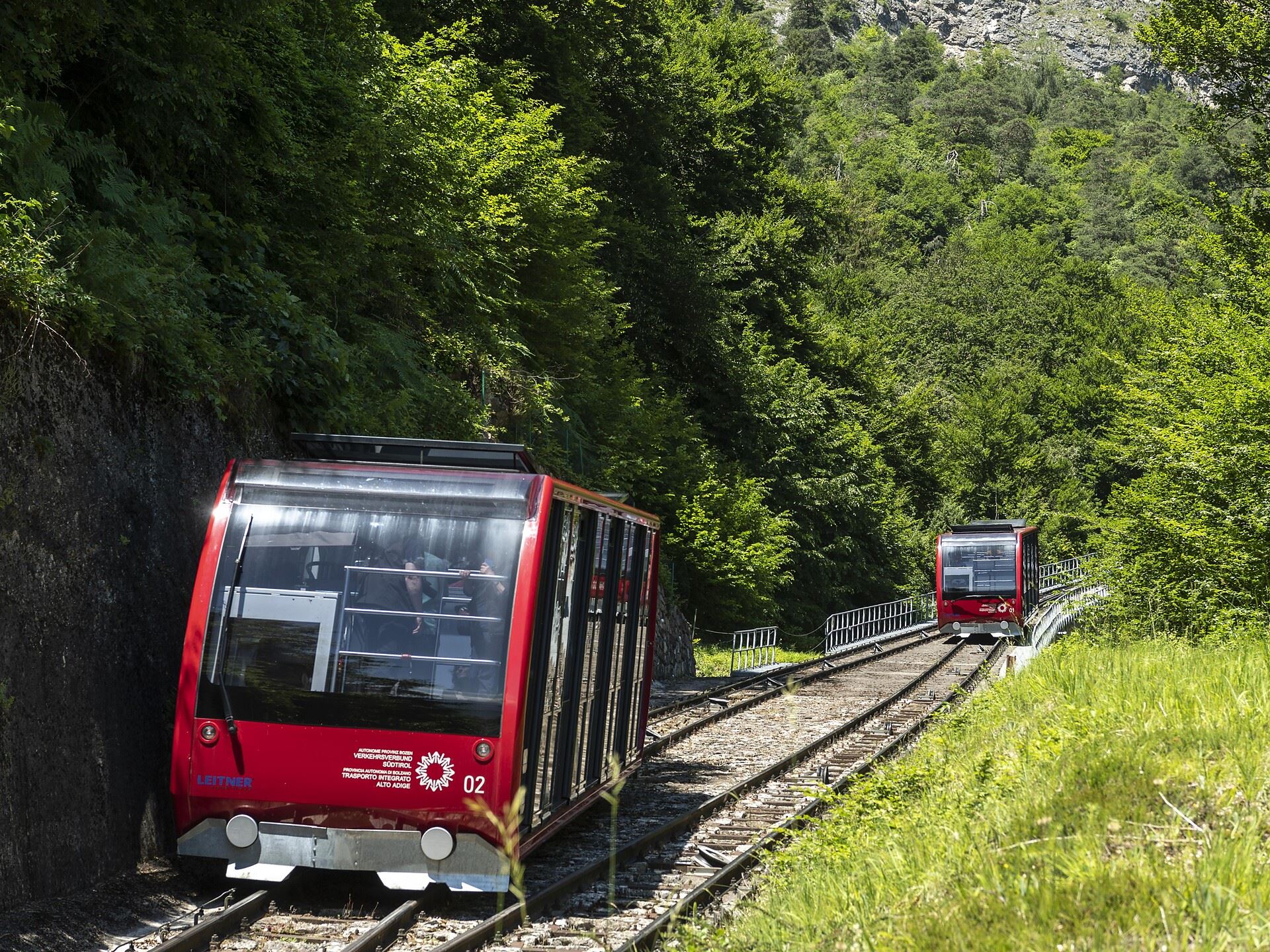
Funicolare della Mendola
8.1 km away, in Caldaro sulla strada del vino/Kaltern an der Weinstraße
The Mendola funicular, opened in 1903 and among the steepest in Europe, climbing from Caldaro to the pass at 1,363 m.
Dal Passo Mendola al rifugio Mezzavia
8.1 km away, in Caldaro sulla strada del vino/Kaltern an der Weinstraße
A walk from the Mendola pass along the ridge to the Mezzavia hut, above Lake Caldaro.
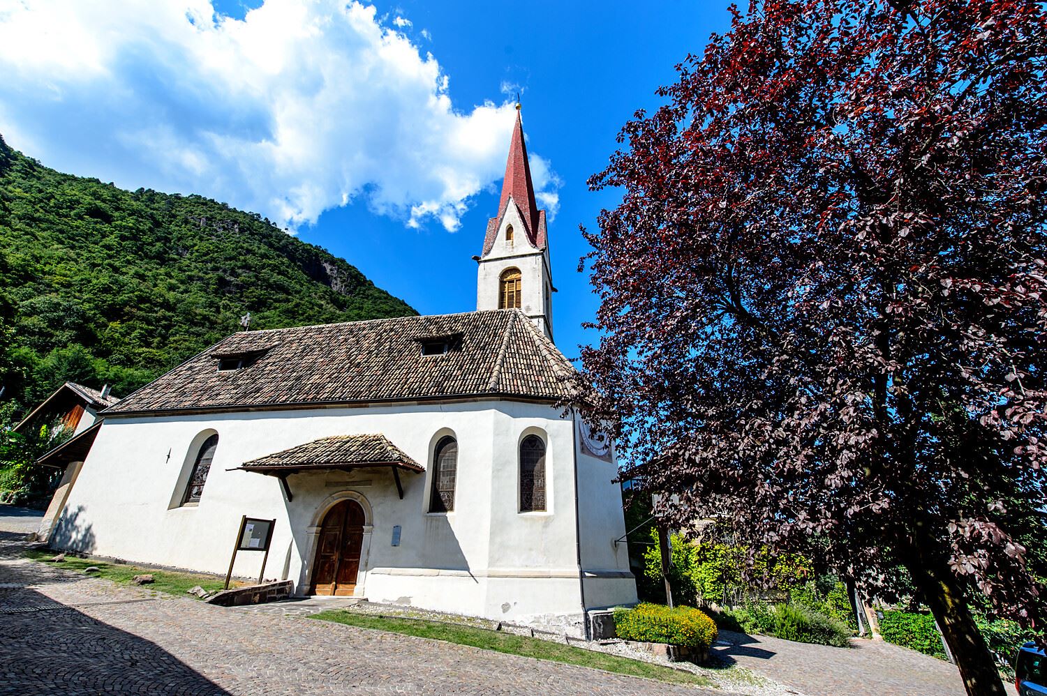
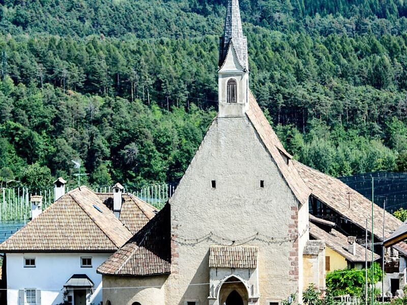
Chiesa S. Giovanni Battista a Pianizza di Sopra
8.6 km away, in Caldaro sulla strada del vino/Kaltern an der Weinstraße
The church of San Giovanni Battista at Pianizza di Sopra above Caldaro.
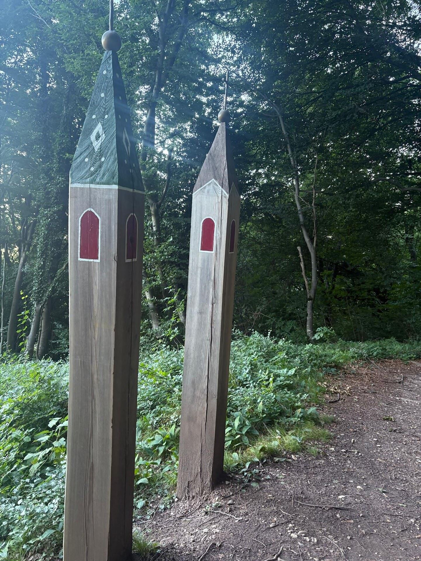
Niklaser Erlebnisweg
9.1 km away, in Caldaro sulla strada del vino/Kaltern an der Weinstraße
A themed walk above Caldaro through vineyards and chestnut woods to the hamlet of San Nicolò.
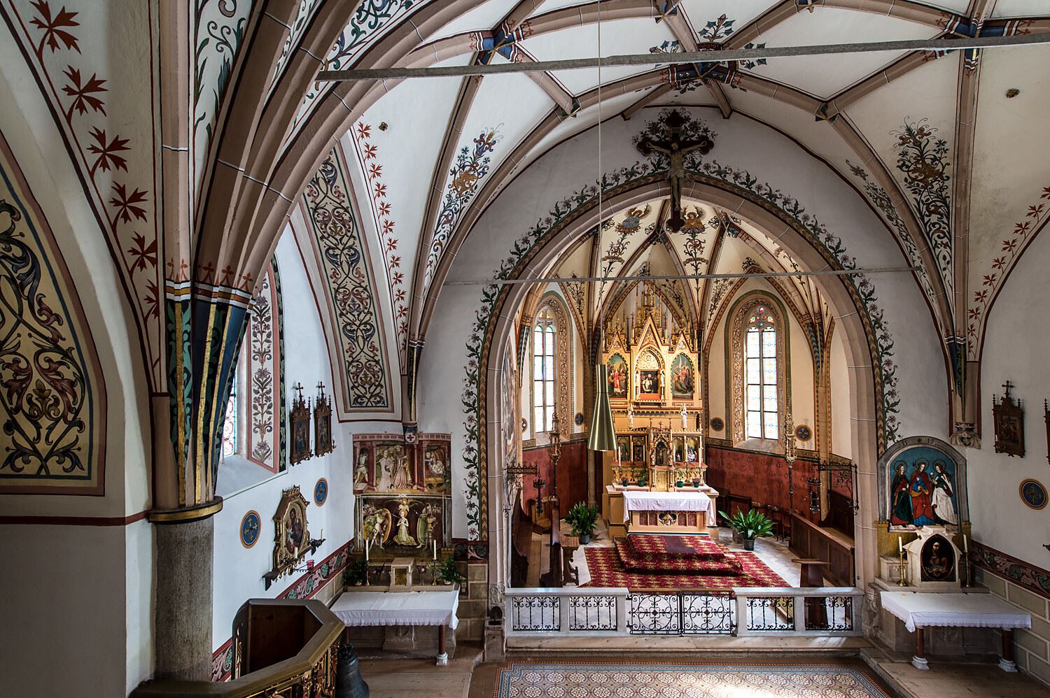
Chiesa S. Leonardo a Pianizza di Sotto
9.4 km away, in Caldaro sulla strada del vino/Kaltern an der Weinstraße
The church of San Leonardo at Pianizza di Sotto, in the vineyards above Lake Caldaro.
Chiesa S. Caterina in Villa di Mezzo
9.6 km away, in Caldaro sulla strada del vino/Kaltern an der Weinstraße
The church of Santa Caterina at Villa di Mezzo, one of the wine hamlets around Caldaro.
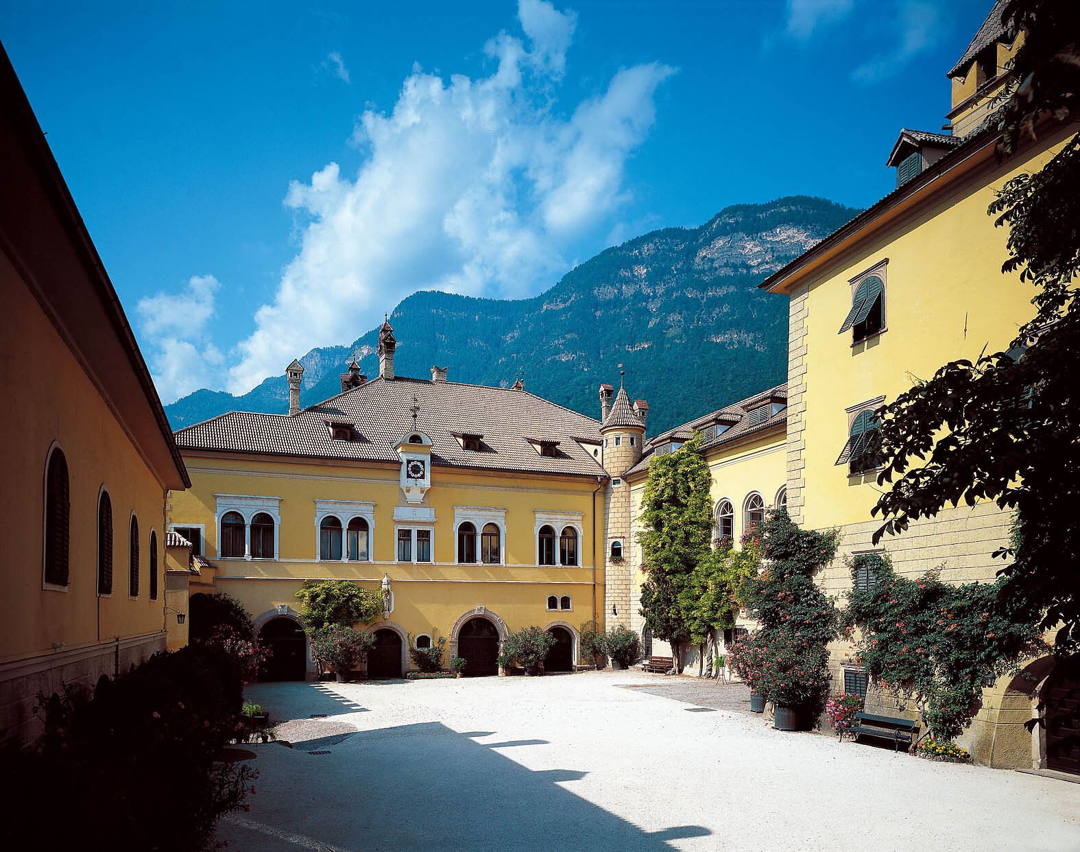
Castel Sallegg
9.7 km away, in Caldaro sulla strada del vino/Kaltern an der Weinstraße
A wine estate at Caldaro whose cellars and gardens date from the sixteenth century.
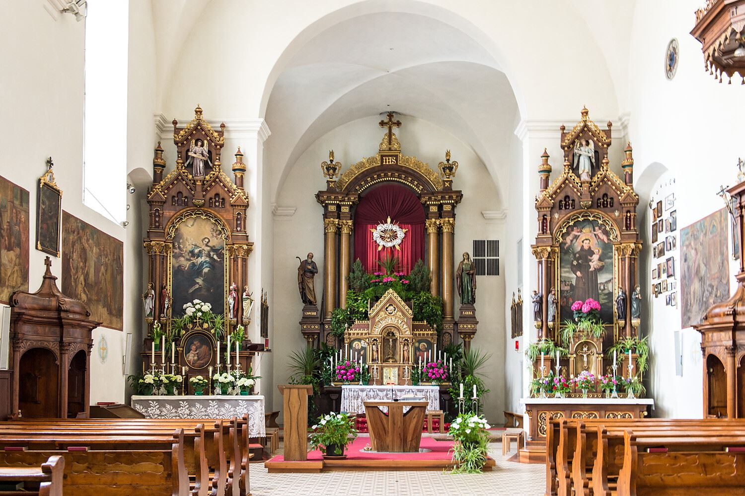
Chiesa a S. Antonio
9.8 km away, in Caldaro sulla strada del vino/Kaltern an der Weinstraße
The church of Sant'Antonio at Caldaro, on the terrace above the lake.
Percorso didattico sul vino di Castel Sallegg
10 km away, in Caldaro sulla strada del vino/Kaltern an der Weinstraße
A vineyard trail at Castel Sallegg above Caldaro, explaining the Lagrein and Schiava grown there.
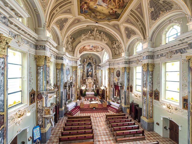
Chiesa dei frati francescani a Caldaro
10 km away, in Caldaro sulla strada del vino/Kaltern an der Weinstraße
The Franciscan friars' church in Caldaro, on the Wine Road below the Mendola.
Chiesa parrocchiale S. Maria Assunta a Caldaro
10.1 km away, in Caldaro sulla strada del vino/Kaltern an der Weinstraße
The parish church of Santa Maria Assunta in Caldaro, its Gothic tower rebuilt after a fire.
Da S. Antonio attraverso la Gola Rastenbach e il sentiero della Pace
10.9 km away, in Caldaro sulla strada del vino/Kaltern an der Weinstraße
The Rastenbach gorge above Caldaro, where a stepped path passes a Romanesque chapel on the way to the lake.
Castel Ringberg
12.1 km away, in Caldaro sulla strada del vino/Kaltern an der Weinstraße
A Renaissance manor of the prince-bishops above Lake Caldaro, still a working wine estate.
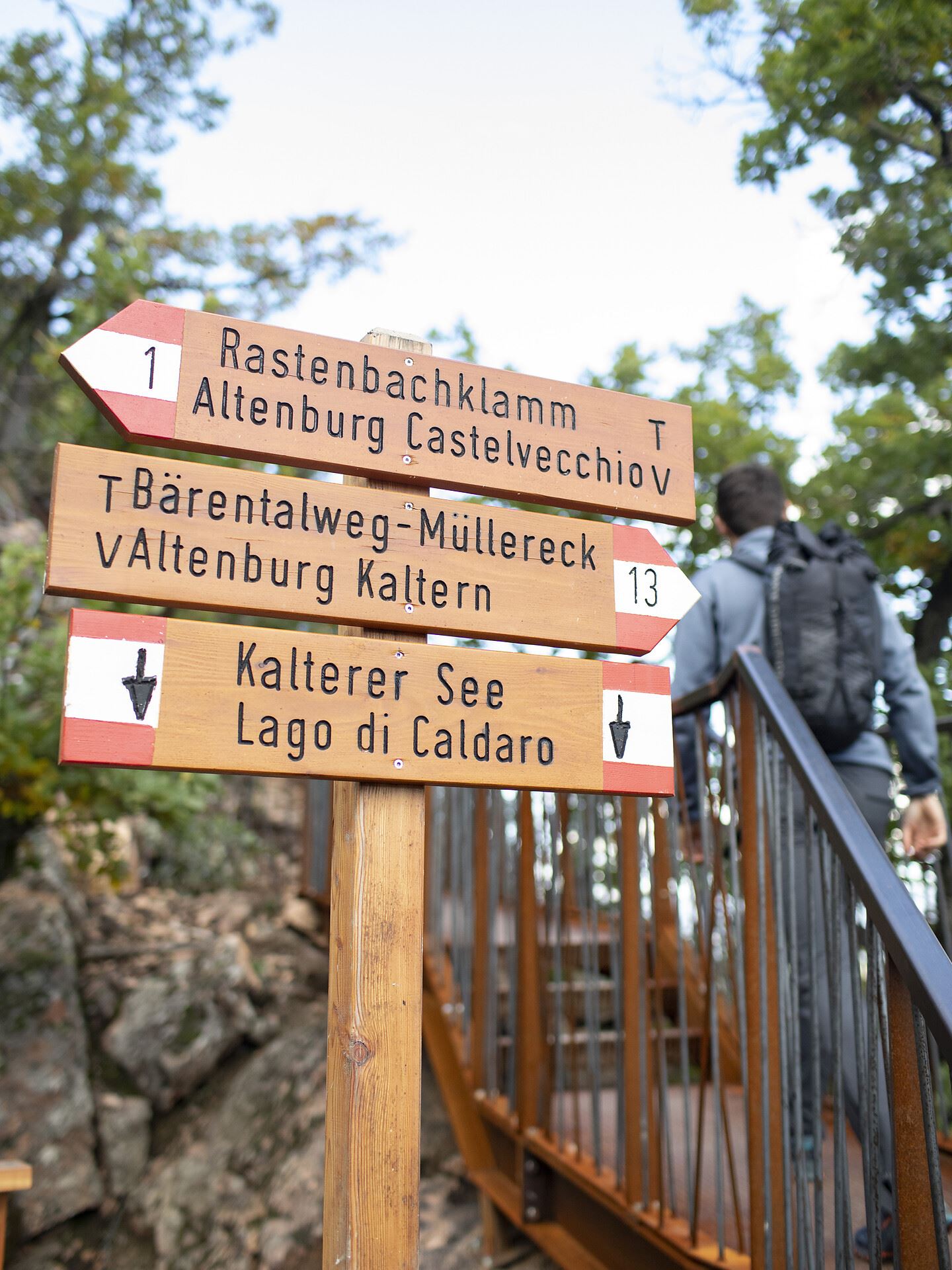
Castelvecchio (Gola Rastenbach)
12.7 km away, in Caldaro sulla strada del vino/Kaltern an der Weinstraße
The ruins of Castelvecchio above the Rastenbach gorge, on the path between Caldaro and its lake.
Thalhof al Lago
12.9 km away, in Caldaro sulla strada del vino/Kaltern an der Weinstraße
A lakeside bathing house on Lake Caldaro, among the vineyards of the Wine Road.
Nothing of this kind in Borgo d'Anaunia.
Routes
Hike along the Rio Sass ravine
A walk on the floor of the Rio Sass ravine, between vertical walls, footbridges and old mills, ending at the Lago Smeraldo.
- 2.6 km
- Distance
- 74 m
- Ascent
- 49 min
- Duration
- 29
- Check-ins
 Hotel Lago Smeraldo 1 016 m
- Canyon Rio Sass 971 m
- Ufficio Turistico di Fondo 975 m
- Ufficio Informazioni Estivo 984 m
- Al Folon 1 005 m
Open route APT Val di NonAnello lungo tra Regole di Malosco e Passo Mendola con salita al Monte Penegal
A half-day circuit between Regole di Malosco and the Mendelpass, mixing woodland shade with the Ferdinands-Höhe belvedere over the Adige valley.
- 13.8 km
- Distance
- 572 m
- Ascent
- 4 h 39 min
- Duration
- 101
- Check-ins
Ridge loop between Cima Cornicoletto, Belmonte and Vedetta Alta
A ridge loop over three summits of the Maddalene where the Trentino and South Tyrol paths meet, returning by four huts on either side of the border.
- 12.5 km
- Distance
- 1 151 m
- Ascent
- 7 h 11 min
- Duration
- 66
- Check-ins
 Hochwart 2 627 m
- Großer Kornigl 2 311 m
- Schöngrub 2 453 m
- Korb 2 479 m
- Cloz Alm - Malga di Cloz 1 730 m
- Rawauer Alm - Malga di Revò 1 734 m
- +2
Open route APT Val di NonTour de Non MTB Experience: Stage 02 Senale - Malga di Romeno
A stage over the Gampenpass onto the Mendola ridge, where the pastures thin out and the singletrack turns wild and exposed, ending at Malga Romeno.
- 39.5 km
- Distance
- 1 406 m
- Ascent
- 4 h 41 min
- Duration
- 172
- Check-ins
- Gantkofel 1 866 m
- Sas de la Prieda 1 658 m
- Croce di Forcella Piccola 1 829 m
 Passo della Mendola - Mendelpass 1 363 m
- Malga Romeno 1 773 m
- Rifugio Mezzavia - Halbweghütte 1 588 m
- +15
Open route APT Val di NonMacaion Roen Gravel
A demanding gravel loop from Cavareno by way of the Lago di Tret, along the ridge high above the Adige and down to the Mendola pass.
- 59.9 km
- Distance
- 2 141 m
- Ascent
- 7 h 20 min
- Duration
- 140
- Check-ins
- Sas de la Prieda 1 658 m
- Passo della Mendola - Mendelpass 1 363 m
- Malga Romeno 1 773 m
- Rifugio Mezzavia - Halbweghütte 1 588 m
- Rifugio Genzianella - Enzianhütte 1 407 m
- Hotel Lago Smeraldo 1 016 m
- +10
Open route APT Val di NonJacopeo d'Anaunia Path - Stage I, Part 1 from Sanzeno to Fondo - Ronzone variant
A variant on the Sanzeno to Fondo stage, crossing Val di Non meadows and passing the late medieval church of San Fabiano and Sebastiano with its frescoes.
- 5.7 km
- Distance
- 151 m
- Ascent
- 1 h 44 min
- Duration
- 22
- Check-ins
- Canyon Rio Sass 971 m
- Ufficio Turistico di Fondo 975 m
- Ufficio Informazioni Estivo 984 m
- Pro Loco Cavareno 971 m
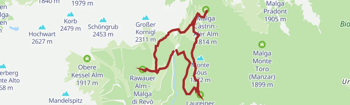
Open route APT Val di NonCrossing 133 Aldo Bonacossa, stage 2: Malga Castrin - Rifugio Maddalene
A stage of trail 133 that stays high above the Maddalene huts and the villages below, crossing wild ground without hard climbs.
- 11.4 km
- Distance
- 649 m
- Ascent
- 4 h 21 min
- Duration
- 45
- Check-ins
- Obere Kessel Alm 1 917 m
- Rifugio Maddalene 1 925 m
- Obere Alm - Malghetto di Cloz 1 892 m
- Samer Joch - Passo di Brèz 2 187 m
- Passo Castrin - Hofmahdjoch 1 785 m
- Malga Castrin - Aler Alm 1 814 m
- +2
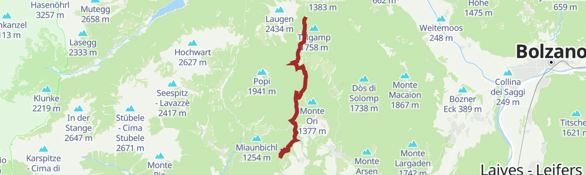
Open route APT Val di NonPasso Palade - Malga Kessel
A long climb from the Passo Palade to Malga Kessel, on the Maddalene ridge between Tesimo and the Val di Non.
- 12.3 km
- Distance
- 919 m
- Ascent
- 5 h 17 min
- Duration
- 62
- Check-ins
- Gampenpass - Passo delle Palade 1 518 m
- Obere Kessel Alm 1 917 m
- Gampenpass - Passo Palade 1 523 m
- Laugenalm - Malga del Monte Luco 1 853 m
- Obere Alm - Malghetto di Cloz 1 892 m
- Passo Castrin - Hofmahdjoch 1 785 m
- +2
Open route APT Val di NonMacaion Climax: The pinnacle for a mountain bike rider – Tour 1411
A hard climb out of Fondo onto the Mendelkamm ridge, with technical S2 singletrack over the Gantkofel and the descent by La Forcolana.
- 28.8 km
- Distance
- 1 014 m
- Ascent
- 3 h 31 min
- Duration
- 44
- Check-ins
- Gantkofel 1 866 m
- Croce di Forcella Piccola 1 829 m
- Hotel Lago Smeraldo 1 016 m
- Canyon Rio Sass 971 m
- Ufficio Turistico di Fondo 975 m
- Ufficio Informazioni Estivo 984 m
- +6
Open route APT Val di NonMendola route
A big day from Mezzocorona with the Denno ramp and then the Passo della Mendola, returning through Val di Non orchards and Wine Road vineyards.
- 98.7 km
- Distance
- 1 622 m
- Ascent
- 10 h 17 min
- Duration
- 123
- Check-ins
- Dosso Santa Margherita 307 m
- Passo della Mendola - Mendelpass 1 363 m
- Azienda per il Turismo Val di Non 1 364 m
- La Rocchetta 2019 270 m
- Castel Ringberg 306 m
- Paradiso 1 282 m
- +11
Open route VisitTrentinoHeather Route (Sentiero dell’Erica) in Fondo, overlooking the Smeraldo lake
An easy walk above the Smeraldo lake at Fondo, through undergrowth thick with flowering heather in spring, with a botanical garden at the start.
- 2.7 km
- Distance
- 141 m
- Ascent
- 1 h 1 min
- Duration
- 9
- Check-ins
Open route APT Val di NonLoop of the Malga mountain huts in the Maddalena Group
A round of the working alpine dairies in the Maddalene above Lauregno, with food at each and no difficult ground.
- 9.8 km
- Distance
- 328 m
- Ascent
- 3 h 6 min
- Duration
- 42
- Check-ins
- Cloz Alm - Malga di Cloz 1 730 m
- Rawauer Alm - Malga di Revò 1 734 m
- Passo Castrin - Hofmahdjoch 1 785 m
- Malga Castrin - Aler Alm 1 814 m
- Laureiner Alm - Malga di Lauregno 1 780 m
Open route APT Val di NonHike Gampenpass - Maso Plaz
A long, gently descending route from the Deutschnonsberg over into the Val di Non, along the old language border, looking across to Tret, Fondo and St Felix.
- 15.5 km
- Distance
- 183 m
- Ascent
- 4 h 35 min
- Duration
- 27
- Check-ins
- Gampenpass - Passo delle Palade 1 518 m
- Gampenpass - Passo Palade 1 523 m
- Zollhütte 1 431 m
- Trattoria Arnica 1 246 m
- Maso Plaz 982 m
Open route Maso PlazOn the trail of the ValdiNonBike race
A long loop on the course of the local bike race, running through orchards and past the Laghetti dei Masi between Fondo and Cavareno.
- 42.8 km
- Distance
- 1 371 m
- Ascent
- 5 h 6 min
- Duration
- 34
- Check-ins
- Hotel Lago Smeraldo 1 016 m
- Paradiso 1 282 m
- Ufficio Turistico di Fondo 975 m
- Ufficio Informazioni Estivo 984 m
 Laghetto dei Masi (inferiore) 1 106 m
- Maso Michei 1 146 m
- +4
Open route APT Val di NonPasso Mendola
The fifteen-kilometre climb from Brez up to the Mendola pass, on the border between Trento and Bolzano.
- 15.0 km
- Distance
- 626 m
- Ascent
- 1 h 44 min
- Duration
- 72
- Check-ins
- Passo della Mendola - Mendelpass 1 363 m
- Azienda per il Turismo Val di Non 1 364 m
- Paradiso 1 282 m
- Ufficio Turistico di Fondo 975 m
- Ufficio Informazioni Estivo 984 m
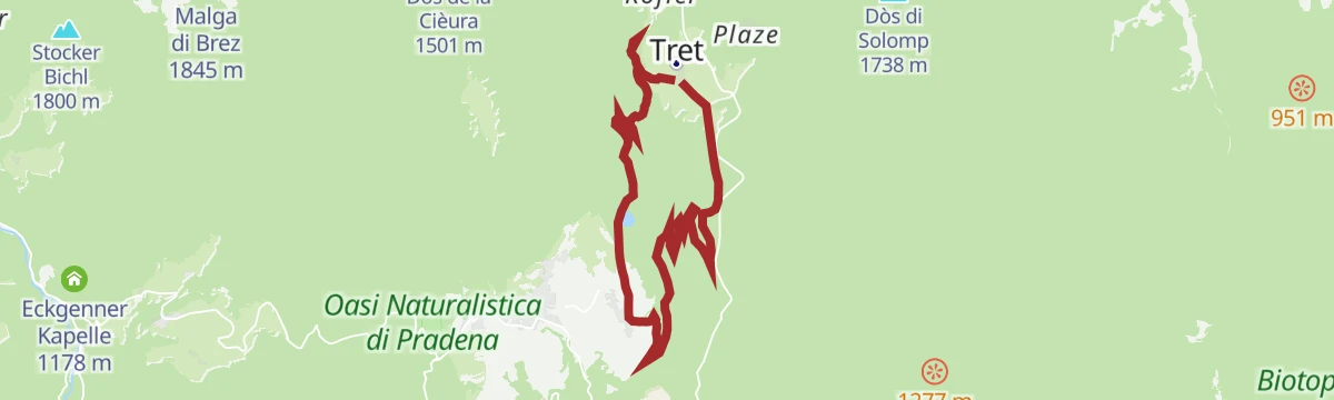
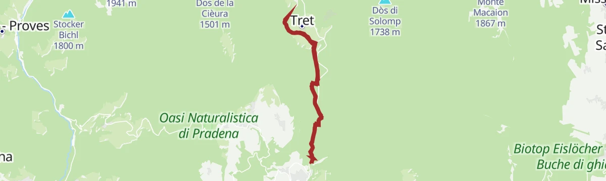
Open route VisitTrentinoAnello del Lago di Tret
An easy woodland loop with no hard sections, out to the quiet water of Lake Tret above Fondo.
- 4.7 km
- Distance
- 278 m
- Ascent
- 1 h 56 min
- Duration
- 6
- Check-ins
Crossing 133 Aldo Bonacossa, stage 1: Passo Palade - Malga Castrin
The opening stage of the Bonacossa route, climbing quickly past Lake Luco under Monte Luco, then across the Monte Sous meadows to Malga Castrin.
- 8.2 km
- Distance
- 761 m
- Ascent
- 4 h 11 min
- Duration
- 40
- Check-ins
- Gampenpass - Passo delle Palade 1 518 m
- Gampenpass - Passo Palade 1 523 m
- Laugensee - Lago del Monte Luco 2 182 m
- Malga Castrin - Aler Alm 1 814 m
- Bait dal Batista 2 100 m
Open route APT Val di NonAnello nel Canyon del Mondino
A loop in the Mondino canyon, the broadest in the Val di Non, cool in summer, with the option of carrying on to the Tret falls.
- 12.6 km
- Distance
- 883 m
- Ascent
- 5 h 52 min
- Duration
- 2
- Check-ins
- Bacino Ronchi 1 125 m
Tour de Non MTB Experience: Stage 01 Cles - Senale
The first stage climbs from the valley floor to the summer pastures of the Maddalene, crossing the Forcella di Brez and the Giovat di Cloz.
- 35.4 km
- Distance
- 2 928 m
- Ascent
- 6 h 37 min
- Duration
- 5
- Check-ins
- Forcella di Brez - Brezer Joch 1 397 m
- Laureiner Alm - Malga di Lauregno 1 780 m
- Giovat di Cloz - Clozner Joch 1 376 m
- Maso Tafol 890 m
Open route APT Val di NonAlta Val di Non cycle path (with Passo Mendola connection)
A paved loop linking the villages of the upper Val di Non, with the new connection to the Mendola pass.
- 41.8 km
- Distance
- 823 m
- Ascent
- 4 h 29 min
- Duration
- 64
- Check-ins
- Passo della Mendola - Mendelpass 1 363 m
- Canyon Rio Sass 971 m
- Ufficio Turistico di Fondo 975 m
- Ufficio Informazioni Estivo 984 m
- Pro Loco Cavareno 971 m
- Madonna Brusada 969 m
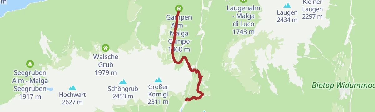
Open route APT Val di NonEscursione alla malga "Gampen Alm"
An easy walk from the Passo delle Palade car park on trails 8 and 24 to the Gampen hut, also reachable by forest road.
- 4.5 km
- Distance
- 216 m
- Ascent
- 1 h 27 min
- Duration
- 5
- Check-ins
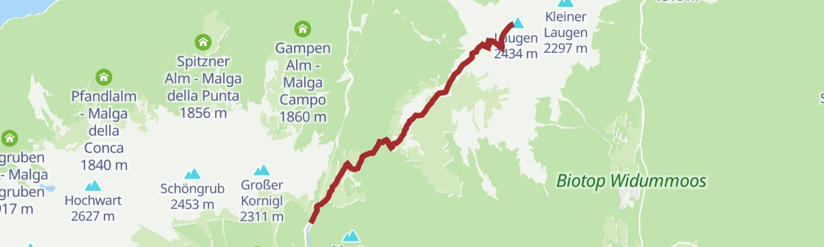
Open route Partschins - Rabland - TöllEscursione sul Monte Luco
The climb from the Passo delle Palade on trails 10A and 10 by the Malga del Luco to Monte Luco, open to the Val di Non and the Dolomites.
- 5.8 km
- Distance
- 773 m
- Ascent
- 3 h 9 min
- Duration
- 37
- Check-ins
Open route Partschins - Rabland - TöllJacopeo d'Anaunia Path - II stage
The second stage of the Jacopeo d'Anaunia pilgrim route, rolling through Lauregno and Senale, once a waypoint for travellers bound for Rome.
- 18.6 km
- Distance
- 642 m
- Ascent
- 6 h 21 min
- Duration
Open route APT Val di NonRoute 1417 - Val di Non Bike
A circuit of the villages at the head of the Val di Non, crossing open meadows in view of the Brenta group and the Rio Sass canyon.
- 48.1 km
- Distance
- 1 224 m
- Ascent
- 5 h 24 min
- Duration
- 49
- Check-ins
- Hotel Lago Smeraldo 1 016 m
- Canyon Rio Sass 971 m
- Paradiso 1 282 m
- Ufficio Turistico di Fondo 975 m
- Ufficio Informazioni Estivo 984 m
- Laghetto dei Masi (superiore) 1 113 m
- +7
Open route APT Val di NonCamino Jacobeo d'Anaunia - Stage I, Part 2 from Fondo to Senale - Tret Waterfall variant
A short variant on the Anaunia camino between Fondo and Senale, dropping to the Tret waterfall.
- 1.5 km
- Distance
- 169 m
- Ascent
- 59 min
- Duration
Open route APT Val di NonTorrente Sass S
A short, steady climb in Novella that takes in the gorge of the Rio Sass and the waterfall at Lago Smeraldo.
- 6.0 km
- Distance
- 436 m
- Ascent
- 2 h 7 min
- Duration
- 29
- Check-ins
- Hotel Lago Smeraldo 1 016 m
- Canyon Rio Sass 971 m
- Ufficio Turistico di Fondo 975 m
- Ufficio Informazioni Estivo 984 m
- Al Folon 1 005 m
Open route Trentino FishingMaddalene Ronda Gravel
A gravel circuit from Revò into the Maddalene, three quarters on forest track among the alm huts.
- 47.3 km
- Distance
- 1 446 m
- Ascent
- 5 h 34 min
- Duration
- 45
- Check-ins
- Cloz Alm - Malga di Cloz 1 730 m
- Rawauer Alm - Malga di Revò 1 734 m
- Untere Kessel Alm - Malga Caldaia Inferiore 1 670 m
- Trattoria Arnica 1 246 m
- Gereit 1 214 m
- Maso Tafol 890 m
- +4
Open route APT Val di NonFalesia del Mondino
The largest of the crags opened in the Val di Non by local climbers, on the Mondino wall above the canyon.
- 14 m
- Distance
- 0 m
- Ascent
- 0 min
- Duration
Anello con salita al Monte Penegal
A loop from Regole di Malosco over the Forcolana saddle to the top of the Penegal, passing Malga di Malosco and huts known for their kitchens.
- 10.4 km
- Distance
- 409 m
- Ascent
- 3 h 26 min
- Duration
- 28
- Check-ins
Upper Val di Non cycle path
A marked loop through Romeno, Cavareno and Fondo, mostly level on its western side.
- 23.1 km
- Distance
- 412 m
- Ascent
- 2 h 26 min
- Duration
- 24
- Check-ins
- Canyon Rio Sass 971 m
- Ufficio Turistico di Fondo 975 m
- Ufficio Informazioni Estivo 984 m
- Pro Loco Cavareno 971 m
- Madonna Brusada 969 m
Open route APT Val di NonKaiser Promenade walk
An easy walk through the past of the upper Val di Non above Borgo d'Anaunia, waymarked in white and orange all along.
- 4.2 km
- Distance
- 131 m
- Ascent
- 1 h 19 min
- Duration
Open route APT Val di NonAscent to Monte Penegal from Regole di Malosco
A there-and-back climb on well-marked SAT paths past Malga di Malosco to the Penegal, a summit locals walk in every season.
- 7.6 km
- Distance
- 388 m
- Ascent
- 2 h 48 min
- Duration
- 26
- Check-ins
Open route APT Val di NonFelixer Weiher and Solomptrail: The “To heaven on earth and back” – Tour 1413
A ride from Fondo to the Felixer Weiher, or Lake Tret, on the flank of the Gantkofel, climbing the old pass road to the Gampen through thin larch wood.
- 20.1 km
- Distance
- 814 m
- Ascent
- 2 h 33 min
- Duration
- 20
- Check-ins
- Hotel Lago Smeraldo 1 016 m
- Felixer Weiher - Lago di Tret 1 604 m
- Ufficio Informazioni Estivo 984 m
- Gasthaus Waldruhe 1 639 m
Open route APT Val di NonMarino Stenico Crag - 36 routes from 4c to 7c
A roadside crag with 36 routes from 4c to 7c, its gravel terrace, benches and tables making it workable with children and pushchairs.
- 18 m
- Distance
- 3 m
- Ascent
- 1 min
- Duration
Open route APT Val di NonCammino Jacopeo d'Anaunia - Stage I, PART 2 from Fondo to Senale
The second half of the camino's opening stage, from Fondo up to Senale; long but without steep pitches, roughly four hours of walking.
- 11.2 km
- Distance
- 576 m
- Ascent
- 3 h 42 min
- Duration
- 22
- Check-ins
Open route APT Val di NonLoop of the Upper Val di Non with ascent to the Forcella di Brez
A hard loop from Cagnò up the east side of the Val di Non to the Forcella di Brez, with ramps to 18%.
- 42.2 km
- Distance
- 1 171 m
- Ascent
- 4 h 51 min
- Duration
- 15
- Check-ins
- Ufficio Turistico di Fondo 975 m
- Ufficio Informazioni Estivo 984 m
- Forcella di Brez - Brezer Joch 1 397 m
- Unteregger 1 240 m
- Josl 974 m
Open route APT Val di NonMaster Wall Crag - 17 routes from 6a+ to 7c+
A crag of 17 routes from 6a+ to 7c+ facing the Mondino wall in the canyon between Fondo and Castelfondo, reached by a steep roped descent.
- 7 m
- Distance
- 4 m
- Ascent
- 1 min
- Duration
Open route APT Val di NonDa San Felice (1270 m) al Monte Macaion (1865 m)
A hike from San Felice past its small lake to Monte Macaion at 1,865 m, a broad lookout over the Adige valley.
- 13.3 km
- Distance
- 667 m
- Ascent
- 4 h 53 min
- Duration
- 14
- Check-ins
Open route Partschins - Rabland - TöllCultural Gravel Tour
A long gravel tour at the lower levels of the Val di Non, stringing together Castel Valer, San Romedio and the old lez canal trails.
- 77.4 km
- Distance
- 1 883 m
- Ascent
- 8 h 39 min
- Duration
- 7
- Check-ins
- Lago Corona 687 m
- Birreria La Fabbrica 506 m
- Madonna Brusada 969 m
- Società Frutticoltori Campodenno - S.F.C - Melinda 499 m
- Laghetto della Marchesa 427 m
- Caffetteria del castello 602 m
- +2
Open route APT Val di NonWalk to the viewpoint above the Tret waterfall
A short flat walk to the balcony above the Tret waterfall, from where the path carries on to the village of San Felice.
- 1.5 km
- Distance
- 0 m
- Ascent
- 21 min
- Duration
Open route APT Val di NonWalk to the Pradiei
A near-level family walk out to the Pradiei meadows, where cows and horses graze, with the Adamello-Brenta and the Maddalene chain behind.
- 10.1 km
- Distance
- 82 m
- Ascent
- 2 h 34 min
- Duration
- 13
- Check-ins
Open route APT Val di NonFrom Fondo to the Tret waterfall
A walk from Fondo along the Mondino canyon, the widest in the Val di Non, out to a point facing the Tret waterfall.
- 11.4 km
- Distance
- 453 m
- Ascent
- 3 h 47 min
- Duration
- 9
- Check-ins
Open route APT Val di NonAnello con salita al Monte Macaion
An easy loop with no abrupt climbs to the top of the Macaion, above the Adige and Venosta valleys with Bolzano below.
- 10.5 km
- Distance
- 450 m
- Ascent
- 3 h 36 min
- Duration
- 8
- Check-ins
Loop trail in the woods between Trentino and South Tyrol with a regenerating stop at Lake Tret
An easy loop on paths and forest road that follow the ground, now narrow in larch wood, now across open meadow, with a stop at Lake Tret.
- 9.6 km
- Distance
- 448 m
- Ascent
- 3 h 22 min
- Duration
- 6
- Check-ins
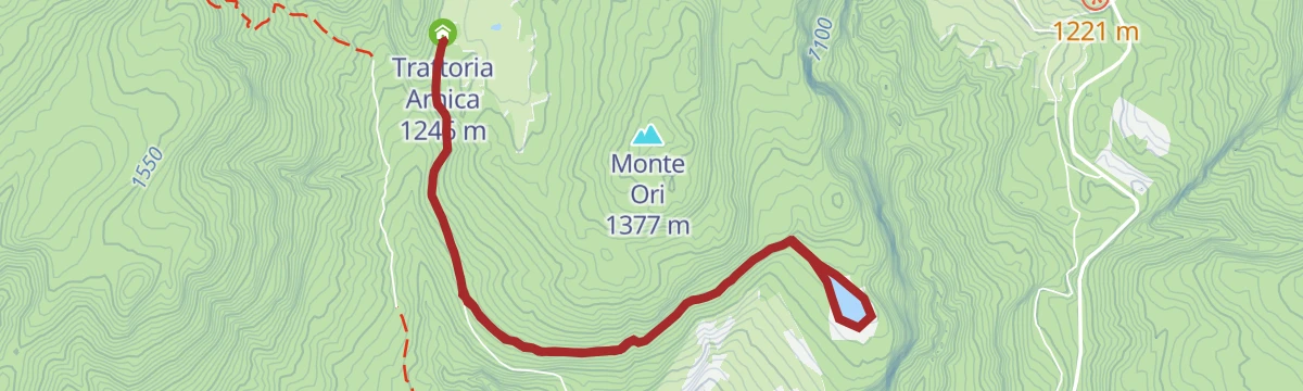
Open route APT Val di NonA piedi sulla neve dal Rifugio Arnica al laghetto di Dovena
A level walk on packed snow from the Rifugio Arnica out to the viewpoint at the Dovena pond.
- 7.5 km
- Distance
- 197 m
- Ascent
- 2 h 14 min
- Duration
- 3
- Check-ins
- Bacino Ronchi 1 125 m
- Trattoria Arnica 1 246 m
Lez di Dovena
A flat and easy walk out to the Dovena lake, with the Val di Non opening up below.
- 7.3 km
- Distance
- 156 m
- Ascent
- 2 h 5 min
- Duration
- 3
- Check-ins
- Bacino Ronchi 1 125 m
- Trattoria Arnica 1 246 m
Il Bosco Certificato
An instructional route climbing from Fondo up to the Regole di Malosco.
- 8.3 km
- Distance
- 281 m
- Ascent
- 2 h 39 min
- Duration
Il Lez di Dambel
An easy walk along an old irrigation channel between the villages of Dambel and Fondo, gentle enough for children.
- 9.7 km
- Distance
- 151 m
- Ascent
- 2 h 39 min
- Duration
Torrente Novella N
A route along the Novella torrent in the Val di Non, in the canyon country below Fondo.
- 12.6 km
- Distance
- 401 m
- Ascent
- 4 h 17 min
- Duration
- Vasca di decantazione 592 m
Open route Trentino Fishing
No routes of this kind in Borgo d'Anaunia yet.
The region's own picks

Featured route
Hike along the Rio Sass ravine
A walk on the floor of the Rio Sass ravine, between vertical walls, footbridges and old mills, ending at the Lago Smeraldo.
Planning a trip to Borgo d'Anaunia?
Everything else Trentino-Alto Adige/Südtirol has, in one place


Take Borgo d'Anaunia with you into the mountains
Every route on this page with 3D terrain, GPX navigation and offline maps — including the valleys with no signal.
Data sources
- Official website: visittrentino.info ↗
- Routes and highlights: APT Val di Non, Kaltern an der Weinstraße, Visit Trentino, Partschins - Rabland - Töll, VisitTrentino, Trentino Fishing, Maso Plaz
- Published as open data by the tourist boards named above.
- Region summary generated from the board's own material.
