
 Historic site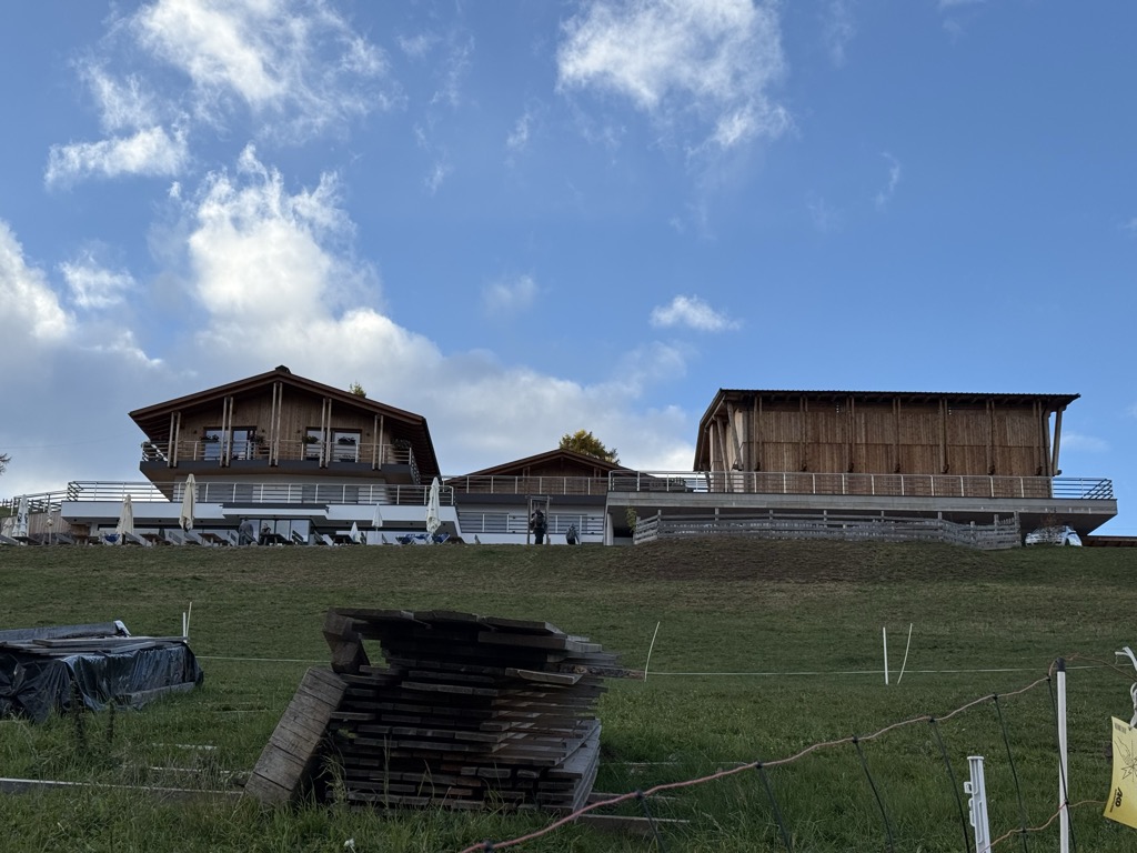








Curated by Sterzing, Pfitsch und Freienfeld
Bolzano/Bozen
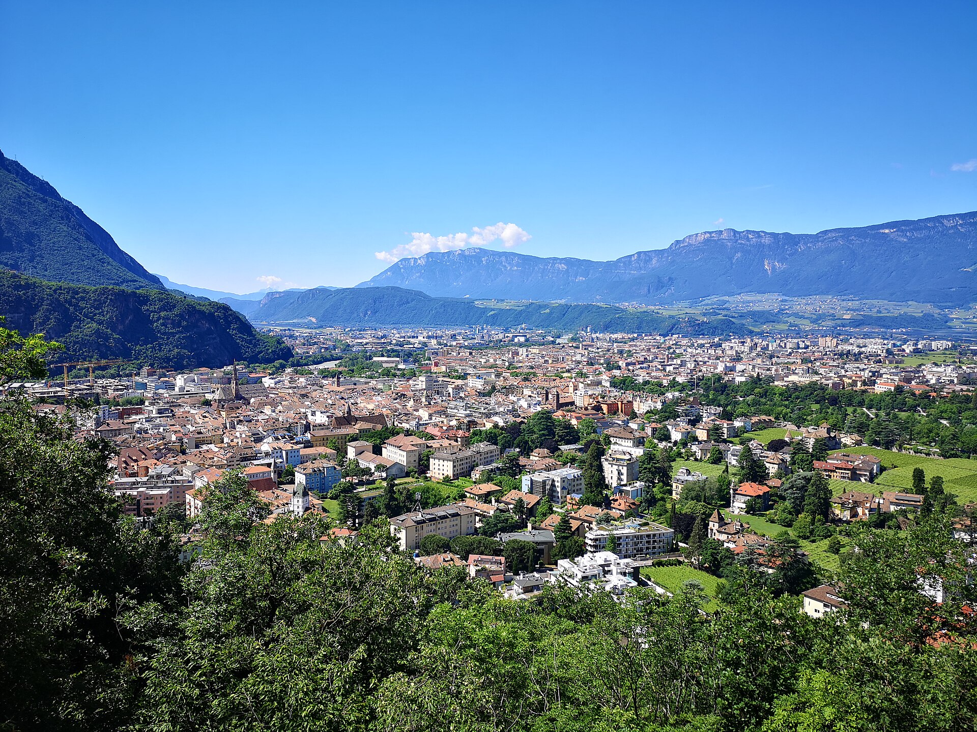
South Tyrol's capital where the Talvera meets the Isarco, with the Ötzi museum and the Renon and Colle cable cars.
Photo: Bartleby08 · CC BY 4.0 licence
- 15Highlights
- 31Routes
- Featured summit · Virgolo
Highlights
All 15 from neighbouring places
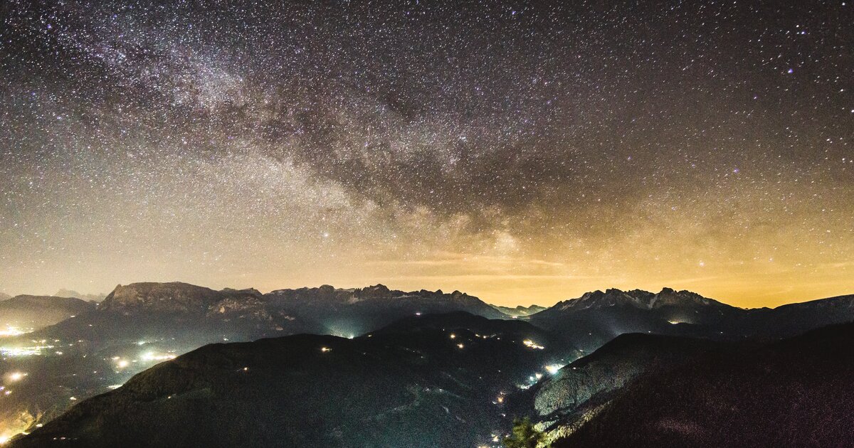
Mini - Sentiero delle Stelle a Collepietra
8.6 km away, in Cornedo all'Isarco/Karneid
A short themed walk on the planets at Collepietra, the star village above the Val d'Ega, beside the local planetarium.
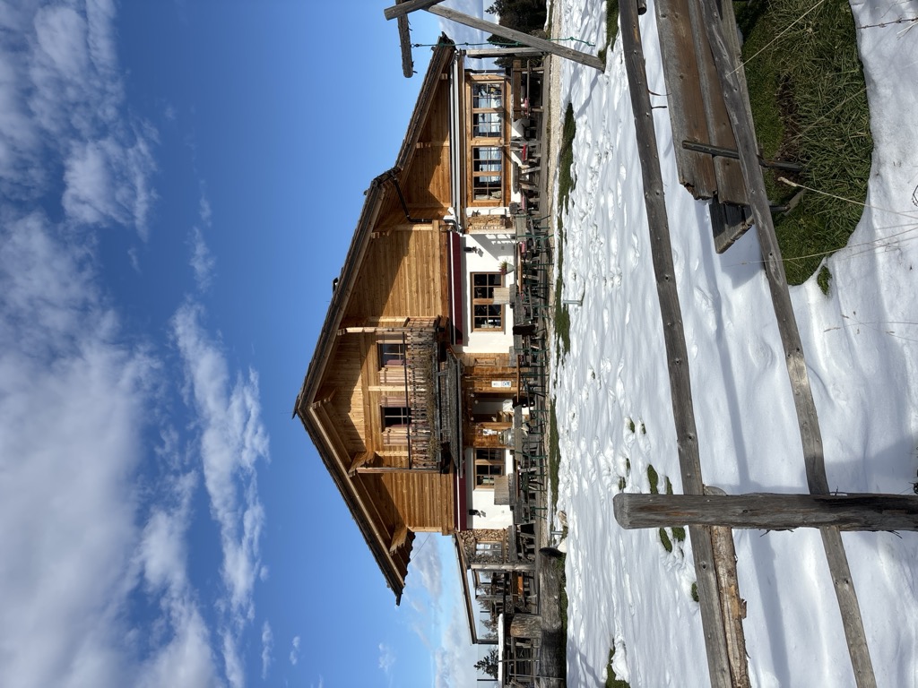
Berggasthof Lanzenschusterhof
12.4 km away, in San Genesio Atesino/Jenesien
A mountain inn on the Tschögglberg above San Genesio, on the plateau that looks across to the Dolomites from north of Bolzano.
Malga Laab
13 km away, in Nova Ponente/Deutschnofen
A working dairy on the Laab pastures above Nova Ponente, in the woods and meadows of the Val d'Ega.
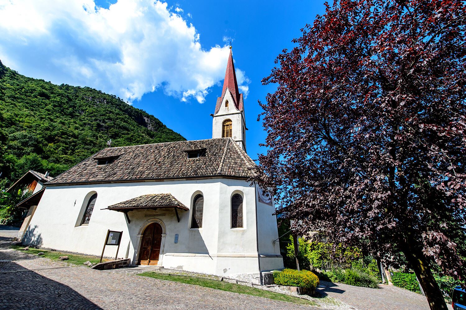
Chiesa S. Giovanni Battista a Pianizza di Sopra
9.3 km away, in Caldaro sulla strada del vino/Kaltern an der Weinstraße
The church of San Giovanni Battista at Pianizza di Sopra above Caldaro.
Chiesa S. Leonardo a Pianizza di Sotto
9.5 km away, in Caldaro sulla strada del vino/Kaltern an der Weinstraße
The church of San Leonardo at Pianizza di Sotto, in the vineyards above Lake Caldaro.
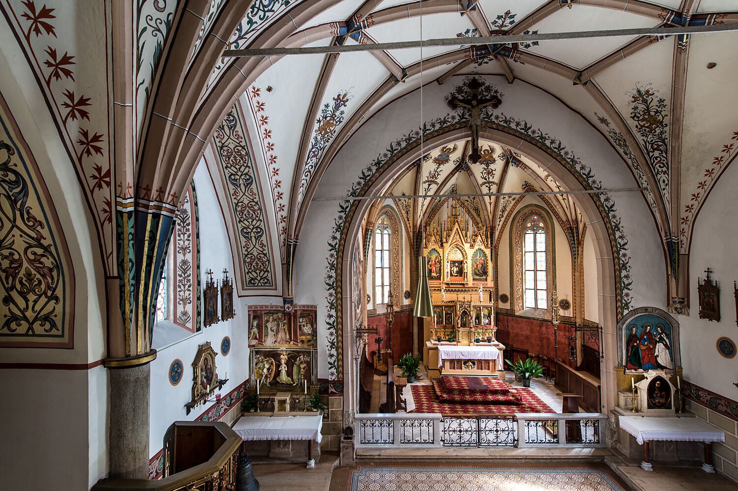
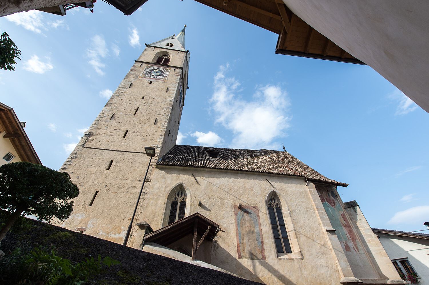
Chiesa parrocchiale S. Maria Assunta a Caldaro
11.1 km away, in Caldaro sulla strada del vino/Kaltern an der Weinstraße
The parish church of Santa Maria Assunta in Caldaro, its Gothic tower rebuilt after a fire.
Chiesa dei frati francescani a Caldaro
11.2 km away, in Caldaro sulla strada del vino/Kaltern an der Weinstraße
The Franciscan friars' church in Caldaro, on the Wine Road below the Mendola.
Percorso didattico sul vino di Castel Sallegg
11.3 km away, in Caldaro sulla strada del vino/Kaltern an der Weinstraße
A vineyard trail at Castel Sallegg above Caldaro, explaining the Lagrein and Schiava grown there.
Chiesa S. Caterina in Villa di Mezzo
11.3 km away, in Caldaro sulla strada del vino/Kaltern an der Weinstraße
The church of Santa Caterina at Villa di Mezzo, one of the wine hamlets around Caldaro.
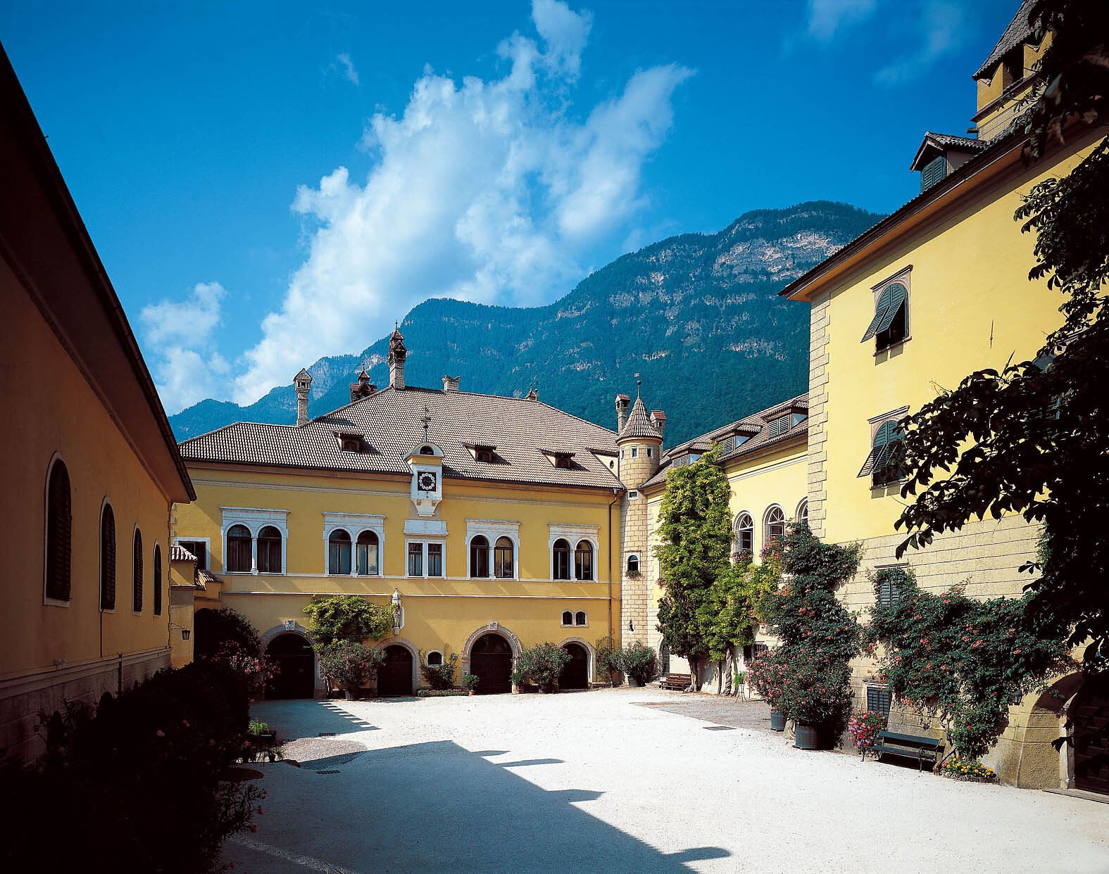
Castel Sallegg
11.3 km away, in Caldaro sulla strada del vino/Kaltern an der Weinstraße
A wine estate at Caldaro whose cellars and gardens date from the sixteenth century.
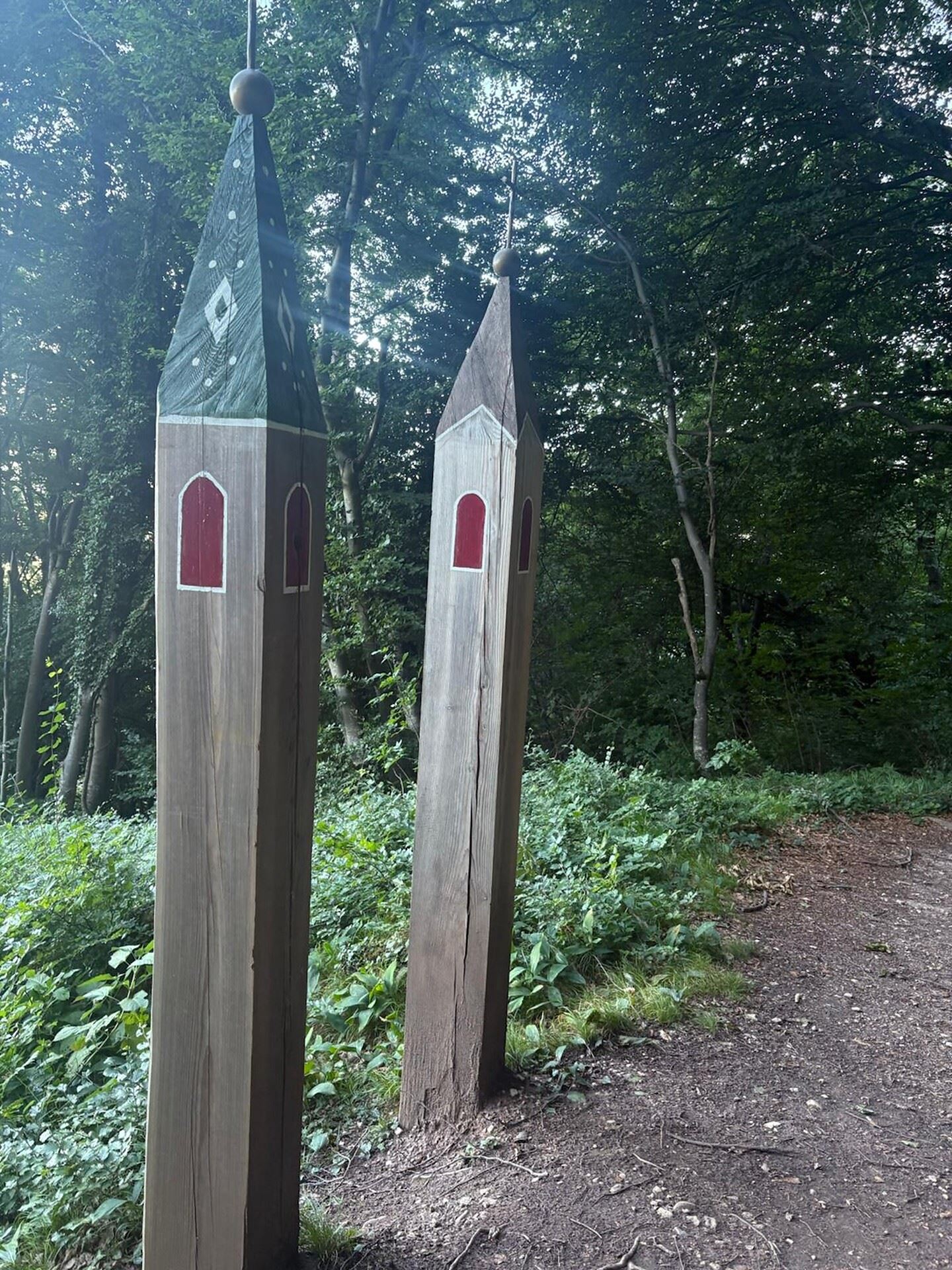
Niklaser Erlebnisweg
11.6 km away, in Caldaro sulla strada del vino/Kaltern an der Weinstraße
A themed walk above Caldaro through vineyards and chestnut woods to the hamlet of San Nicolò.
Chiesa a S. Antonio
12.1 km away, in Caldaro sulla strada del vino/Kaltern an der Weinstraße
The church of Sant'Antonio at Caldaro, on the terrace above the lake.
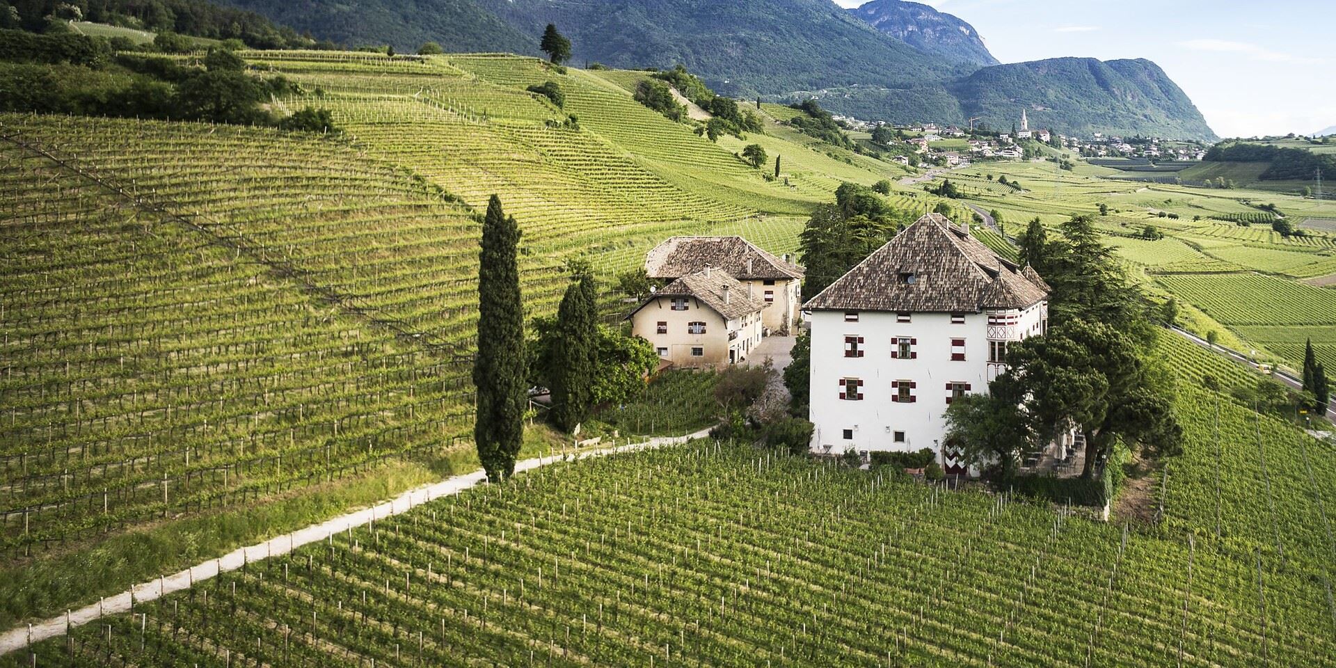
Castel Ringberg
12.4 km away, in Caldaro sulla strada del vino/Kaltern an der Weinstraße
A Renaissance manor of the prince-bishops above Lake Caldaro, still a working wine estate.
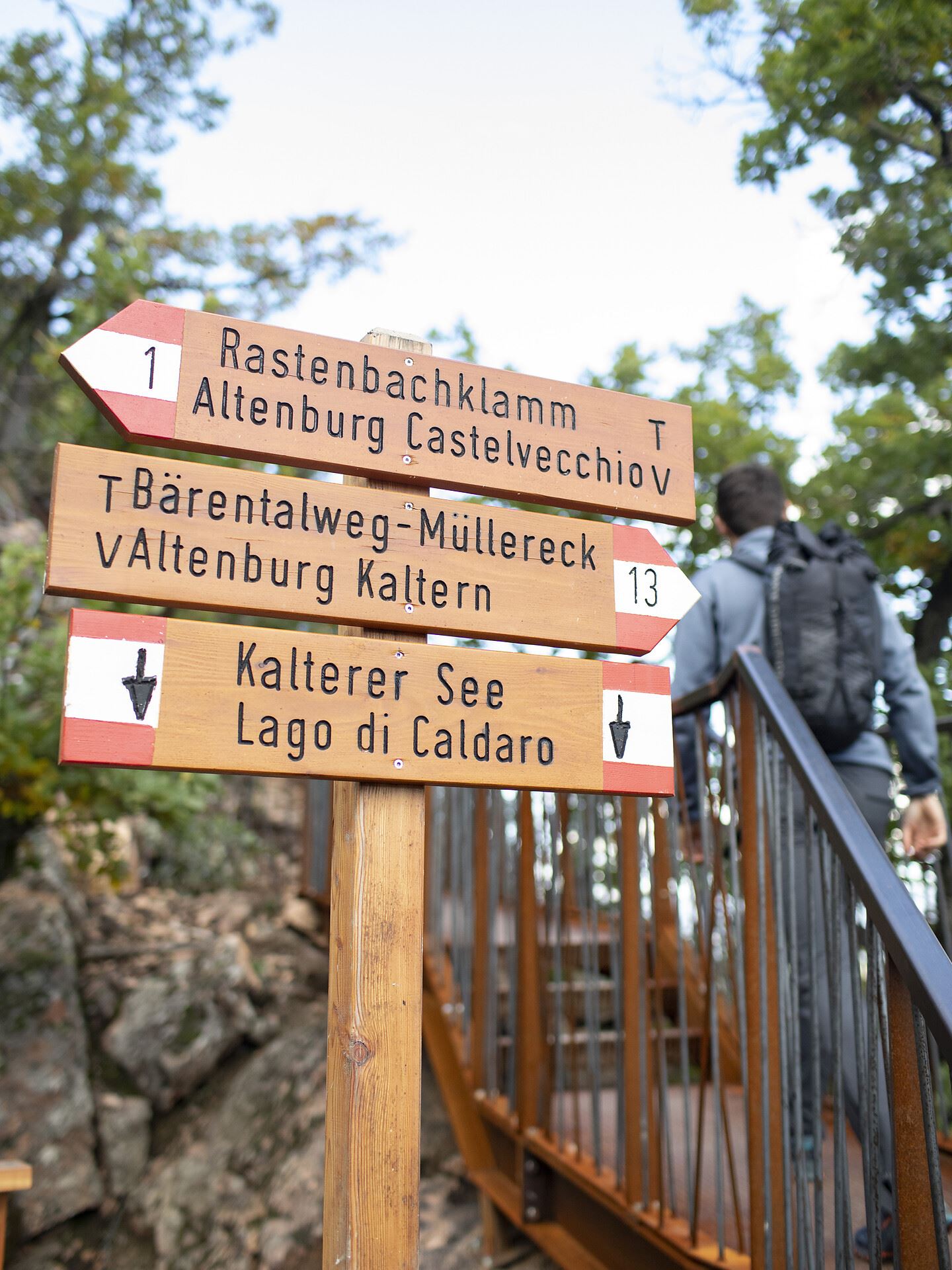
Da S. Antonio attraverso la Gola Rastenbach e il sentiero della Pace
13 km away, in Caldaro sulla strada del vino/Kaltern an der Weinstraße
The Rastenbach gorge above Caldaro, where a stepped path passes a Romanesque chapel on the way to the lake.
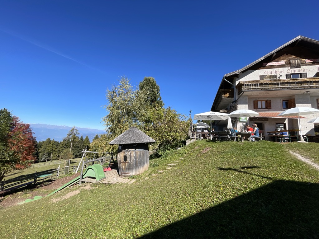
Albergo Schmiederalm
13 km away, in Aldino/Aldein
A pasture inn above Aldino, on the high Regglberg plateau between the Bletterbach gorge and the road to the Passo Oclini.
Nothing of this kind in Bolzano/Bozen.
Routes
Piccola escursione al belvedere Titschenwarte
A short outing from Schneiderwiesen up to the Titschen Warte, a lookout point at just over 1,500 metres on the hills above Bolzano.
- 4.5 km
- Distance
- 209 m
- Ascent
- 1 h 34 min
- Duration
- 1
- Check-ins
Open route Sterzing, Pfitsch und FreienfeldRafenstein: Percorso del Törggele (autunno)
An autumn loop from the San Genesio cable car through orchards and vineyards to the Gasthaus Rafenstein, below the castle ruin over the Talvera gorge.
- 7.4 km
- Distance
- 412 m
- Ascent
- 2 h 56 min
- Duration
- 5
- Check-ins
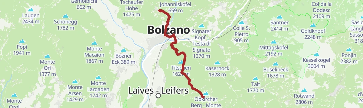
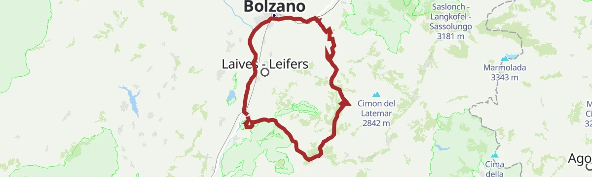
Open route Sterzing, Pfitsch und FreienfeldJenesien
A long stage from Jenesien down through Bozen and up to Kohlern, then across the Regglberg plateau to Deutschnofen, facing the Dolomites.
- 23.7 km
- Distance
- 1 340 m
- Ascent
- 8 h 54 min
- Duration
- 29
- Check-ins
Scenic Trails of Deutschnofen/Nova Ponente: A Cyclist’s Dream
A loop over the high, sunlit Deutschnofen/Nova Ponente plateau, from the Kohlern/Colle cable car past the Pollenweiher pond.
- 34.8 km
- Distance
- 858 m
- Ascent
- 4 h 12 min
- Duration
- 18
- Check-ins
 Gasthaus Kohlern 1 117 m
- Associazione Turistica Val d'Ega - Tourismusverein Eggental 1 363 m
- Wölflhof 1 294 m
- Brunner 1 403 m
- Gasthaus Koflerhof 632 m
 Pollenweiher 1 383 m
- +1
Open route Südtirols SüdenRoad Bike Adventure to Lavazé Joch: Steep Passes and Breathtaking Views
A hard road climb from the Adige floor at Auer to the Passo di Lavazè, taking the San Lugano saddle on the way.
- 94.1 km
- Distance
- 2 374 m
- Ascent
- 10 h 35 min
- Duration
- 240
- Check-ins
 Passo di Lavazè 1 807 m
- Mila Bistro 282 m
- Kampill Center 270 m
- Hiasele 312 m
- Agrocenter Bozen OHG 296 m
- Passo di San Lugano - San-Lugano-Sattel 1 097 m
- +25
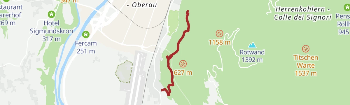
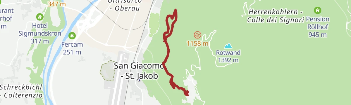
Open route Südtirols SüdenDa San Giacomo al Castel Flavon
An easy walk from the village of San Giacomo across the slopes to the castle above Bolzano, with only a little climbing.
- 6.1 km
- Distance
- 266 m
- Ascent
- 2 h 5 min
- Duration
Open route Sterzing, Pfitsch und FreienfeldEscursione a La Costa
A circular hike above Bolzano that asks for some fitness, linking the Gasthof Rechtebner and Schneiderwiesen with the Rotwand and Titschen Warte viewpoints.
- 13.2 km
- Distance
- 872 m
- Ascent
- 5 h 53 min
- Duration
- 4
- Check-ins
Open route Sterzing, Pfitsch und FreienfeldTrekking di cinque giorni sul sentiero delle Perle - 1. tappa
The first stage of the five-day Pearls trail, from Cardano near Bolzano past the vineyards below Castel Cornedo and up through mixed wood to Collepietra.
- 16.6 km
- Distance
- 1 244 m
- Ascent
- 6 h 48 min
- Duration
- 2
- Check-ins
- Maso di piano 751 m
- Glirghof 938 m
- Hiasl 722 m
- Zacherle Hof 772 m
- Unterweger Mühle 753 m
- Lampldille 770 m
- +2
Open route Sterzing, Pfitsch und FreienfeldEisacktal Valley Bike Route: Brenner - Bozen
A long, almost entirely downhill valley ride from the Brenner border to Bozen, following the Eisack river the whole way.
- 96.5 km
- Distance
- 313 m
- Ascent
- 9 h 14 min
- Duration
- 185
- Check-ins
 Paterbichl 559 m
- Mila Bistro 282 m
- Klammwirt 559 m
- Hiasele 312 m
- Agrocenter Bozen OHG 296 m
- Senfter 532 m
- +22
Open route Gitschberg - JochtalTriade panoramica
A circuit from Schneiderwiesen linking three lookout points in turn, the Titschen Warte, the Rotwand and the Rotenstein, high above Bolzano.
- 7.6 km
- Distance
- 280 m
- Ascent
- 2 h 28 min
- Duration
- 2
- Check-ins
Open route Sterzing, Pfitsch und FreienfeldCastelfeder – Bolzano – Valle Isarco
The Adige cycle path from the Bolzano basin up the Isarco valley by Chiusa toward Bressanone.
- 76.1 km
- Distance
- 617 m
- Ascent
- 7 h 12 min
- Duration
- 183
- Check-ins
- Paterbichl 559 m
- Mila Bistro 282 m
- Kampill Center 270 m
- Klammwirt 559 m
- Hiasele 312 m
- Agrocenter Bozen OHG 296 m
- +17
Open route Südtirols SüdenDa La Costa al Castel Flavon
A walk down from the church of St. Heinrich above Bolzano to the castle on the edge of the city, passing the old Fritschermühle on the way.
- 6.8 km
- Distance
- 473 m
- Ascent
- 3 h 9 min
- Duration
- 1
- Check-ins
Open route Sterzing, Pfitsch und FreienfeldIn bici tra dolci vigneti e le maestose Dolomiti – da Egna a Castelrotto
A long climb-heavy ride from the vineyard country north of Trento up to the village of Castelrotto, with the Dolomites in view on the upper half.
- 55.5 km
- Distance
- 1 169 m
- Ascent
- 5 h 44 min
- Duration
- 146
- Check-ins
- Mila Bistro 282 m
- Kampill Center 270 m
- Hiasele 312 m
- Agrocenter Bozen OHG 296 m
- Tourist Information 1 069 m
- Hochklaus 380 m
- +13
Open route Seis am SchlernEscursione da La Costa al Colle
A crossing from the hamlet above Bolzano over to Colle and the meadows of Schneiderwiesen, on a linked set of numbered paths.
- 8.9 km
- Distance
- 592 m
- Ascent
- 3 h 59 min
- Duration
- 1
- Check-ins
Open route Sterzing, Pfitsch und FreienfeldBy bike from gentle vineyards to the majestic Dolomites – from Egna to Castelrotto
A road tour that leaves the Adige vineyards on the South Tyrolean Wine Road and then climbs steadily to Castelrotto beneath the Dolomites.
- 55.3 km
- Distance
- 1 168 m
- Ascent
- 5 h 43 min
- Duration
- 130
- Check-ins
- Mila Bistro 282 m
- Hiasele 312 m
- Agrocenter Bozen OHG 296 m
- Tourist Information 1 069 m
- Hochklaus 380 m
- Puntnofen 311 m
- +12
Open route Südtirols SüdenRafenstein: Percorso tra le rovine (estate)
A shaded round from Bolzano up the Talvera gorge past Castel Roncolo and Castel Ried to the ruins of Rafenstein above the city.
- 8.1 km
- Distance
- 355 m
- Ascent
- 2 h 45 min
- Duration
- 1
- Check-ins
Open route Sterzing, Pfitsch und FreienfeldIn bicicletta dal fascino medievale all’atmosfera mediterranea – da Glorenza a Egna
A day-long valley ride from Glorenza to Egna, following the Adige past apple orchards and wine cellars into the Bassa Atesina.
- 105.8 km
- Distance
- 20 m
- Ascent
- 9 h 39 min
- Duration
- 75
- Check-ins
- Maso al Lago - Schenk 237 m
- Quellensee 655 m
- Informationsbüro Kastelbell - Tschars - Associazione turistica di Castelbello - Ciardes 584 m
- Nationalpark Stelvio 913 m
- Moser's Speckhäusl 626 m
- Castelfeder - Grill-Imbiss - ristoro 221 m
- +8
Open route Sterzing, Pfitsch und FreienfeldBy bike from medieval charm to Mediterranean flair – from Glurns to Neumarkt
A long, almost flat point-to-point down the Etschtal from the walled town of Glurns to Neumarkt, on cycle paths through orchards and vineyards.
- 105.5 km
- Distance
- 0 m
- Ascent
- 9 h 36 min
- Duration
- 70
- Check-ins
- Maso al Lago - Schenk 237 m
- Quellensee 655 m
- Informationsbüro Kastelbell - Tschars - Associazione turistica di Castelbello - Ciardes 584 m
- Nationalpark Stelvio 913 m
- Moser's Speckhäusl 626 m
- Castelfeder - Grill-Imbiss - ristoro 221 m
- +5
Open route Südtirols SüdenBike Tour: Waltherplatz
A long day from Kurtatsch to Bolzano on the Adige cycle path, returning over the Überetsch railway line through Eppan, Kaltern and Tramin.
- 62.7 km
- Distance
- 505 m
- Ascent
- 6 h 2 min
- Duration
- 39
- Check-ins
- Tourist Information 261 m
- Maso al Lago - Schenk 237 m
- Castelfeder - Grill-Imbiss - ristoro 221 m
- Turismusverein Kurtatsch - Informazioni Turistiche Cortaccia 344 m
- Tramin 277 m
- Freisingerhof 329 m
- +1
Open route Südtirols SüdenG-GE-03 Etschradweg
A long, level ride on the Adige valley cycleway, between the vineyards of Tramin, the shore of the Kalterer See and Castelfeder.
- 56.2 km
- Distance
- 283 m
- Ascent
- 5 h 14 min
- Duration
- 33
- Check-ins
Bolzano Bike Experience
A near-flat city-and-country tour around Bolzano/Bozen, linking the old town with vineyards out towards Siebeneich/Settequerce.
- 45.7 km
- Distance
- 168 m
- Ascent
- 4 h 13 min
- Duration
- 32
- Check-ins
- Braun am Bach 279 m
- Tourist Information 261 m
- Touristinfo 303 m
- Caffè da Te 270 m
- Touristen Information - Ufficio informazioni turistiche 283 m
Open route Südtirols SüdenVia Claudia Augusta, Merano-Salorno
The Via Claudia Augusta from Marlengo by Lana and Nalles to Bolzano, through the castle country south of Merano.
- 58.1 km
- Distance
- 157 m
- Ascent
- 5 h 21 min
- Duration
- 32
- Check-ins
- Maso al Lago - Schenk 237 m
- Castelfeder - Grill-Imbiss - ristoro 221 m
- Touristinfo 303 m
- Tourismusverein Marling 363 m
- Touristen Information - Ufficio informazioni turistiche 283 m
- Tourist Office Tscherms/Cermes 294 m
- +5
Open route Südtirols SüdenBolzano to Meran: Etsch Valley Cycling Delight
A mostly level run down the Etsch/Adige cycle path through orchards and vineyards, ending by the Kurhaus and promenades of Meran/Merano.
- 70.1 km
- Distance
- 163 m
- Ascent
- 6 h 22 min
- Duration
- 28
- Check-ins
- Tourist Information 261 m
- Kurverwaltung Meran - Azienda di Soggiorno di Merano 323 m
- Touristinfo 303 m
- Touristen Information - Ufficio informazioni turistiche 283 m
- Naturbar 257 m
Open route Südtirols SüdenCiclabile dell' Adige tappa Rablà-Bolzano
A gentle downhill valley stage following the Adige from Rablà through Merano and Gargazzone down to Bolzano.
- 43.2 km
- Distance
- 63 m
- Ascent
- 3 h 59 min
- Duration
- 21
- Check-ins
- Rifugio 375 m
- Laterne 516 m
- Naturbar 257 m
- Naturbad Gargazon 255 m
- Minigolf Treff Algund 376 m
- Al Puntogiusto 257 m
Open route Sterzing, Pfitsch und FreienfeldMitterberg Round
A paved circuit of the Mitterberg from Ora, through the vineyards and orchards of the lower Adige.
- 39.2 km
- Distance
- 260 m
- Ascent
- 3 h 43 min
- Duration
- 19
- Check-ins
Open route Südtirols SüdenVia Claudia Augusta, Bolzano-Salorno lungo l’Adige
A level stage of the old Roman road south from Bolzano along the Adige, through the orchards of the Bassa Atesina past Castelfeder.
- 30.9 km
- Distance
- 0 m
- Ascent
- 2 h 45 min
- Duration
- 17
- Check-ins
- Maso al Lago - Schenk 237 m
- Castelfeder - Grill-Imbiss - ristoro 221 m
- Maier Anton Schotterwerk Bozen - Inerti Bolzano 243 m
- Safety Park 235 m
Open route Sterzing, Pfitsch und FreienfeldDa Naturno al Lago di Caldaro
A long, nearly flat run down the Adige from Naturno by Lana and San Paolo to the Kalterer See.
- 56.9 km
- Distance
- 203 m
- Ascent
- 5 h 21 min
- Duration
- 15
- Check-ins
- Castel Ringberg 306 m
- Laterne 516 m
- Naturbar 257 m
- Naturbad Gargazon 255 m
- Minigolf Treff Algund 376 m
- Al Puntogiusto 257 m
Open route Sterzing, Pfitsch und FreienfeldTour giornaliero a Merano
A day out from Bolzano up the Adige to Merano on the valley cycle path, with almost no climbing.
- 38.4 km
- Distance
- 72 m
- Ascent
- 3 h 27 min
- Duration
- 15
- Check-ins
- Maso al Lago - Schenk 237 m
- Maier Anton Schotterwerk Bozen - Inerti Bolzano 243 m
- Naturbar 257 m
- Naturbad Gargazon 255 m
- Safety Park 235 m
- Al Puntogiusto 257 m
Open route Sterzing, Pfitsch und FreienfeldFrom Salorno to Bolzano
An easy valley ride heading north from the Trentino border through Egna and Ora, ending in the old streets of the provincial capital.
- 39.8 km
- Distance
- 90 m
- Ascent
- 3 h 35 min
- Duration
- 14
- Check-ins
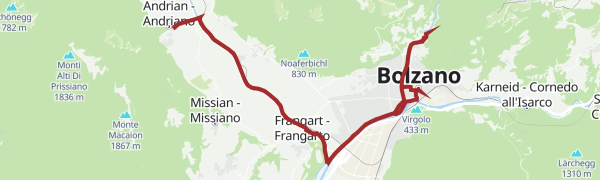
Open route Südtirols SüdenRadtour nach Bozen zum Schloss Runkelstein und zurück
A run down the Adige to Bolzano and Schloss Runkelstein, returning by Settequerce.
- 34.1 km
- Distance
- 131 m
- Ascent
- 3 h 9 min
- Duration
- 13
- Check-ins
La pista ciclabile dell’Adige: da Marlengo a Bolzano
The Adige cycle path from Marlengo down through Lana and Gargazzone to Bolzano, level throughout.
- 33.5 km
- Distance
- 41 m
- Ascent
- 3 h 3 min
- Duration
- 12
- Check-ins
- Tourismusverein Marling 363 m
- Tourist Office Tscherms/Cermes 294 m
- Tourist office Lana and environs 303 m
- Naturbar 257 m
- Naturbad Gargazon 255 m
- Al Puntogiusto 257 m
Open route Sterzing, Pfitsch und Freienfeld
No routes of this kind in Bolzano/Bozen yet.
The region's own picks

Featured route
Piccola escursione al belvedere Titschenwarte
A short outing from Schneiderwiesen up to the Titschen Warte, a lookout point at just over 1,500 metres on the hills above Bolzano.
Planning a trip to Bolzano/Bozen?
Everything else Trentino-Alto Adige/Südtirol has, in one place


Take Bolzano/Bozen with you into the mountains
Every route on this page with 3D terrain, GPX navigation and offline maps — including the valleys with no signal.
Data sources
- Official website: suedtirol.info ↗
- Routes and highlights: Sterzing, Pfitsch und Freienfeld, Kaltern an der Weinstraße, Südtirols Süden, E5 Alps Crossing, Gitschberg - Jochtal, Seis am Schlern, Tramin an der Weinstraße, Andrian
- Published as open data by the tourist boards named above.
- Region summary generated from the board's own material.
