
- 6Highlights
- 40Routes
Highlights
9 from neighbouring places
Luguntenkopf
A 1,702 m top about 3 km north-east of the village, the highest listed here.
Mohrenkopf
A 1,645 m mountain of the Allgäu Alps, on the ridges above the Schönenbach vorsäß settlement.
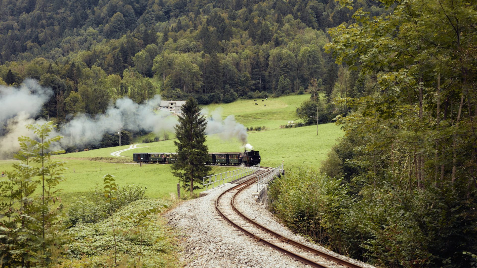
Fahrt mit dem Wälderbähnle
A carefully kept heritage railway running between the Bezau station and Schwarzenberg.
Gerachsattel
At 1,752 m the lowest crossing from the Kleinwalsertal into the rest of Vorarlberg, carrying neither road nor track.
Lingenauerealpe
An alp at 1,594 m on the Winterstaude ridge, a few hundred metres from the summit line.
PeakVisor / OpenStreetMapSammerealpe
An alp at 1,525 m three kilometres north of the village, close under the Schreiberesattel.
PeakVisor / OpenStreetMapÄblisbodenalpe
1.1 km away, in Bizau
An alp on the slopes two kilometres east of the village, below the Luguntenkopf.
PeakVisor / OpenStreetMapHirschberg
1.2 km away, in Bizau
A 1,834 m mountain of the Bregenzerwald range, the local hill of neighbouring Bizau.
Hirschbergsattel
1.6 km away, in Bizau
A saddle at 1,627 m below the Hirschberg, four kilometres east of the village.
Stoggersattel
2.5 km away, in Bizau
A saddle at 1,415 m south-east of the village, on the way over to Schönenbach.
Skigebiet Diedamskopf Au-Schoppernau
3.1 km away, in Schoppernau
Natural-snow pistes on the 2,090 m Diedamskopf, used as readily by families as by seasoned skiers.
Hälekopf
3.1 km away, in Bizau
A 1,614 m summit two kilometres north of the village, on the ridge towards the Seefluh.
Winterstaude
3.7 km away, in Egg
A 1,877 m mountain south of Hittisau, its north side partly served by lifts and skied in winter.
Stongerhöhe
4.1 km away, in Egg
A 1,772 m top on the ridge that carries the Winterstaude, less than a kilometre from that summit.
Stonger Sattel
4.6 km away, in Andelsbuch
A saddle at 1,639 m on the ridge east of the village, between the Niedere and the Winterstaude.
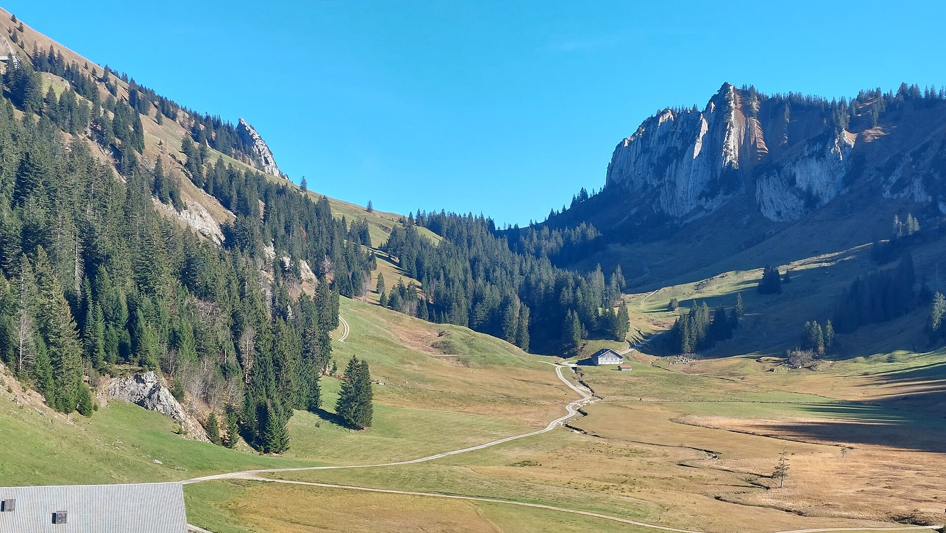
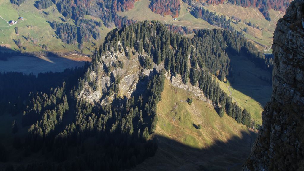
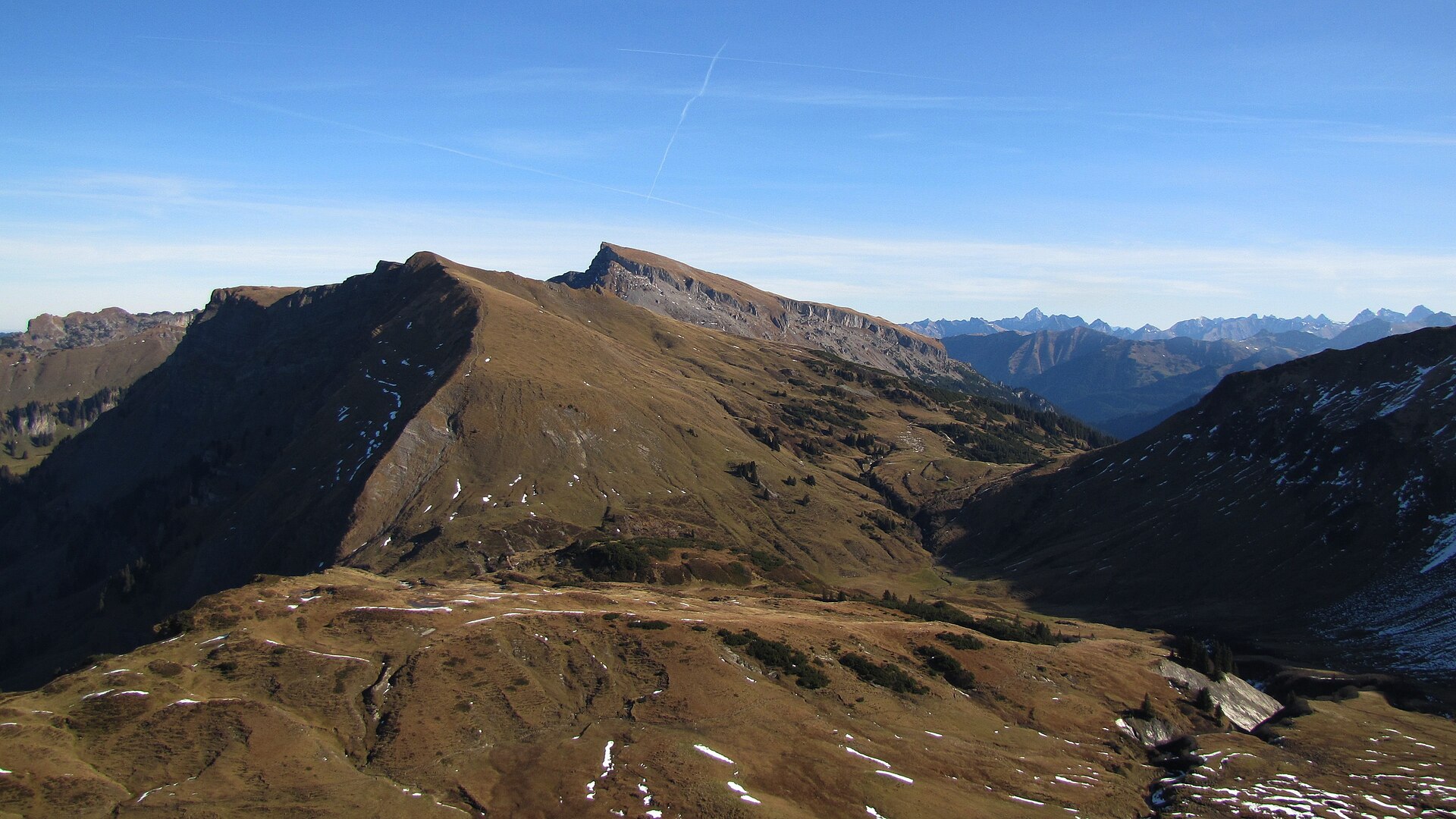
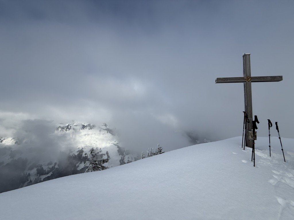
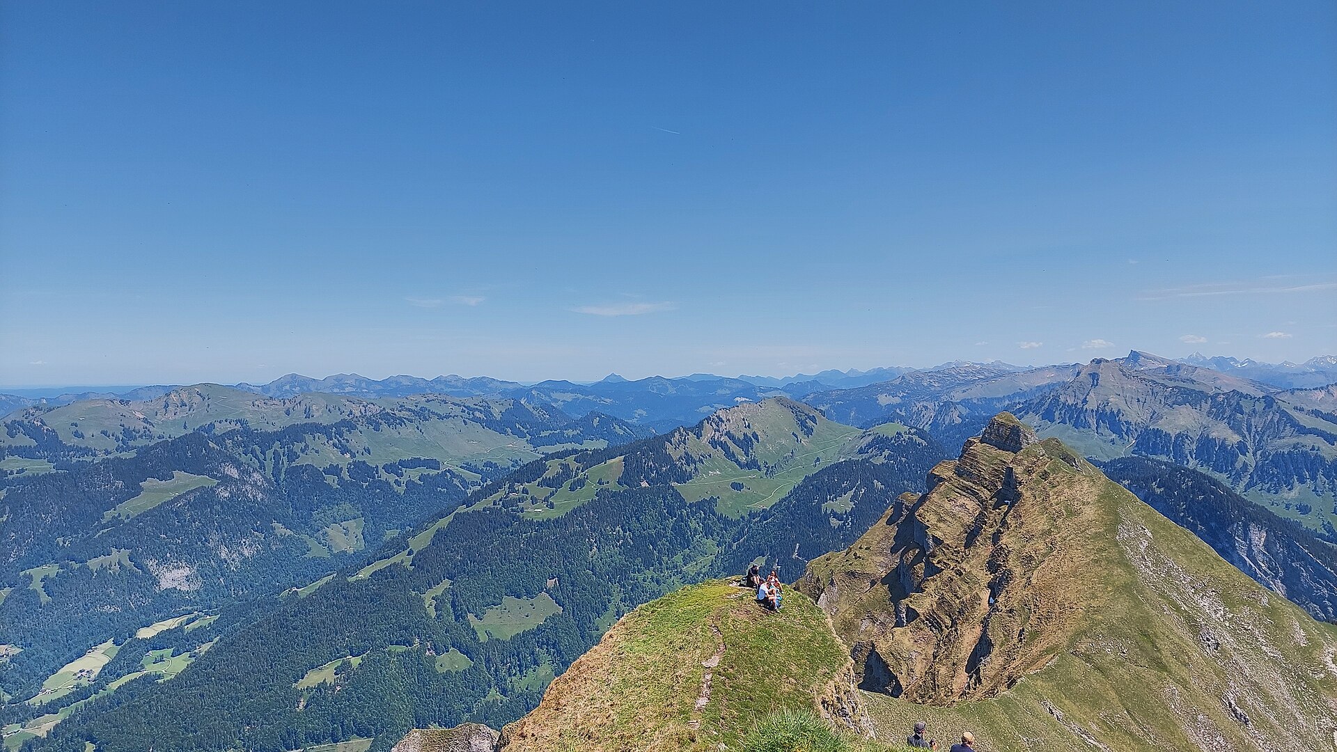
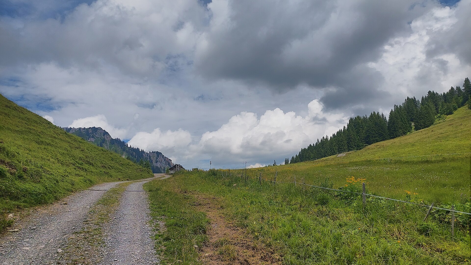
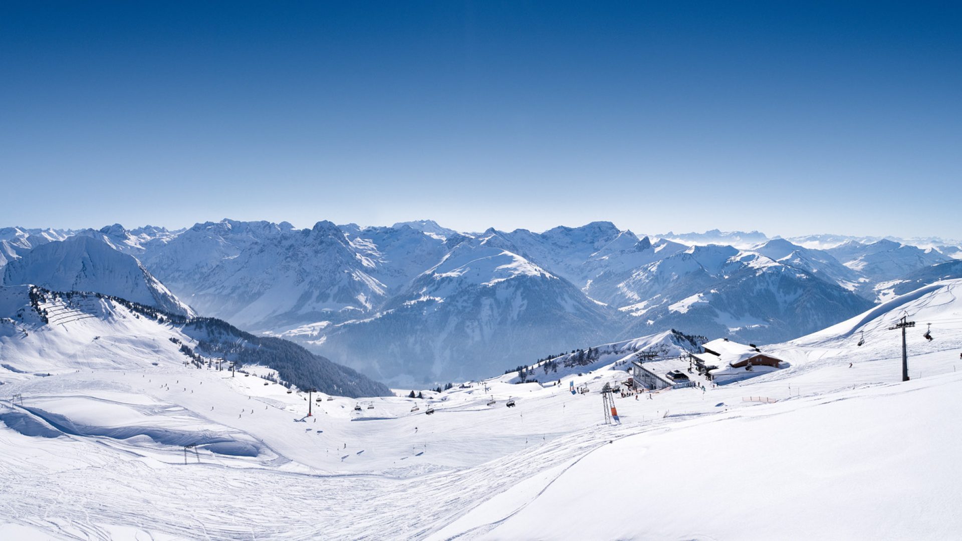
 Mountain pass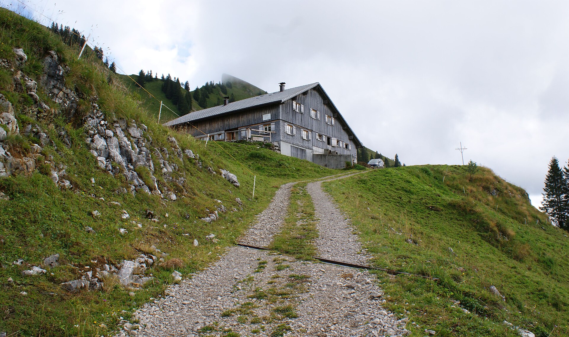
 Mountain hut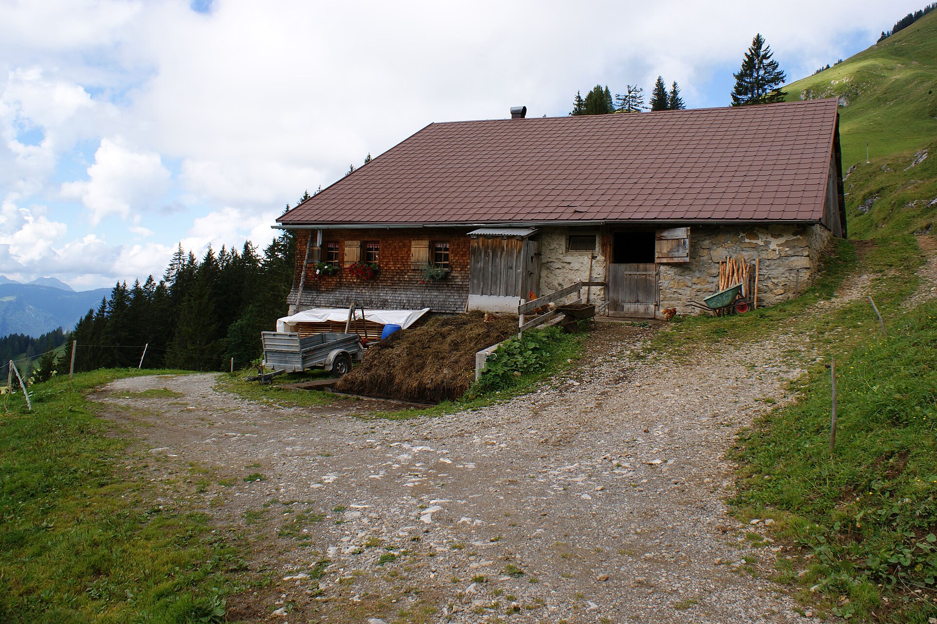
 Cable car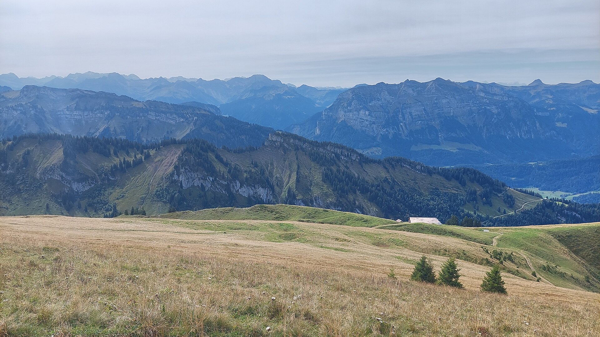
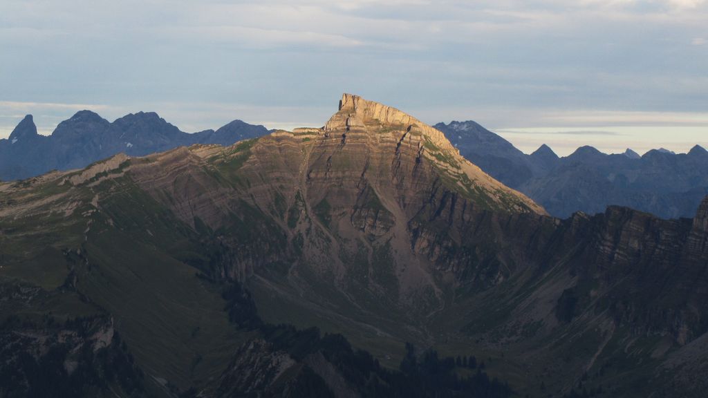
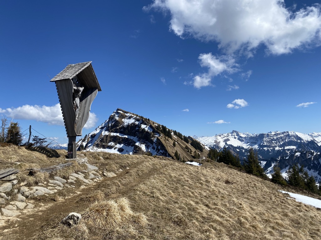
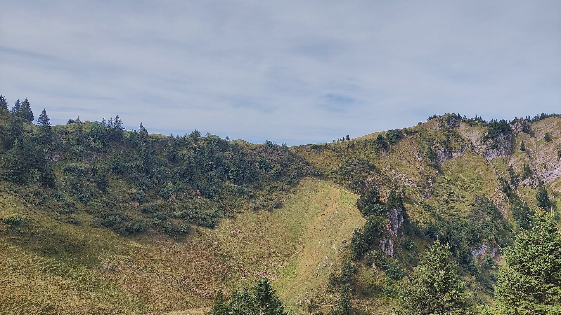
Nothing of this kind in Bezau.
Routes
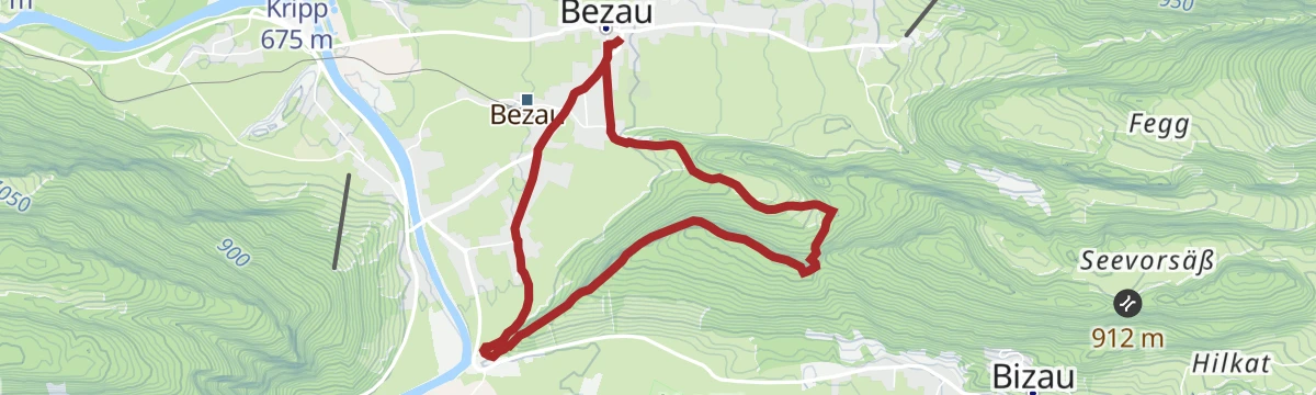
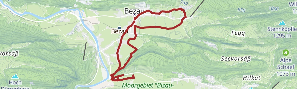
Bezau | Känzelerundweg
A short round from the middle of Bezau over the Känzele lookout to Reuthe and back.
- 5.9 km
- Distance
- 222 m
- Ascent
- 1 h 56 min
- Duration
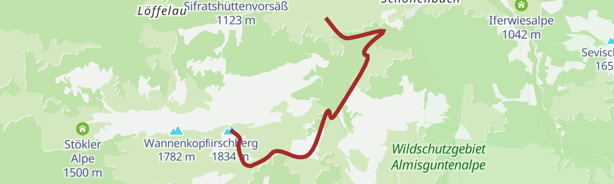
Open route Vorarlberg TourismusAndelsbuch | Von der Niedere nach Schönenbach
A descending traverse from the Niedere plateau across the middle mountains into the vorsäß village of Schönenbach.
- 11.1 km
- Distance
- 386 m
- Ascent
- 4 h 12 min
- Duration
Open route Vorarlberg TourismusAu-Schoppernau | Diedamskopf – Schwarzwasserhütte
From the Diedamskopf top station over the Kreuzle, an old pass into the Kleinwalsertal, to the Schwarzwasserhütte.
- 17.3 km
- Distance
- 349 m
- Ascent
- 6 h 1 min
- Duration
Open route Vorarlberg TourismusBezau-Sonderdach - Winterstaude
A ski tour from Bezau-Sonderdach to Winterstaude, 662 m of climbing in 5.7 km to a high point of 1,871 m.
- 4.4 km
- Distance
- 0 m
- Ascent
- 0 m
- Descent
- 1 h 5 min
- Duration
Open route PeakVisor tTRL (OpenStreetMap piste_type=skitour)Schönenbach - Hoher Ifen
Hoher Ifen from Schönenbach: 1,250 m of climbing in 10.6 km, topping out at 2,201 m.
- 9.0 km
- Distance
- 0 m
- Ascent
- 0 m
- Descent
- 2 h 12 min
- Duration
Open route PeakVisor tTRL (OpenStreetMap piste_type=skitour)40 Jahre Bodensee-Radweg: Den Bregenzerwald entdecken
A ride along the Bregenzerache that can be combined with the R1 cycle bus, past old Wälder houses and new timber buildings.
- 47.1 km
- Distance
- 596 m
- Ascent
- 4 h 47 min
- Duration
Open route Vorarlberg TourismusMellau | Ortszentrum – Zimmerau – Klausbrücke – Herburg – Reuthe – Bezau
A flat link from the middle of Mellau by the Klausbrücke and Herburg through Reuthe to Bezau.
- 5.0 km
- Distance
- 45 m
- Ascent
- 1 h 20 min
- Duration
Open route Vorarlberg TourismusArchitekturweg Bregenzerwald | Schwarzenberg – Andelsbuch – Bezau (Etappe 3)
The third stage of the architecture trail, linking Schwarzenberg, Andelsbuch and Bezau by notable timber buildings.
- 10.3 km
- Distance
- 235 m
- Ascent
- 3 h 2 min
- Duration
Open route Vorarlberg TourismusBezau | Bezegg Firstvorsäß – Baumgarten
From the village square over the Bezegg and the Sattelalpe, climbing steadily to the Baumgarten top station.
- 8.4 km
- Distance
- 978 m
- Ascent
- 4 h 2 min
- Duration
Open route Vorarlberg TourismusHilkat - Hähliköpfle
703 m on skis from Hilkat to Hähliköpfle, 2.9 km with its high point at 1,590 m.
- 2.5 km
- Distance
- 0 m
- Ascent
- 0 m
- Descent
- 36 min
- Duration
Open route PeakVisor tTRL (OpenStreetMap piste_type=skitour)Andelsbuch | Rund um die Winterstaude
A circuit of the Winterstaude through a quiet valley, demanding enough that good bike-handling is assumed.
- 38.4 km
- Distance
- 1 376 m
- Ascent
- 4 h 42 min
- Duration
Open route Vorarlberg TourismusBezau | Baumgarten – Stongerhöhe
A ridge walk from the Baumgarten top station over the Hintere Niedere and the Stongerhöhe to the mid-station.
- 11.5 km
- Distance
- 454 m
- Ascent
- 3 h 52 min
- Duration
Open route Vorarlberg TourismusBezau | Höhlenpark – Baumgarten
Up through the Höhlenpark, a nature trail among huge rockfall caves, to the Baumgarten top station.
- 5.9 km
- Distance
- 980 m
- Ascent
- 3 h 44 min
- Duration
Open route Vorarlberg TourismusLöffelau - Sienspitze
From Löffelau at 1,016 m, 457 m of ascent over 2.4 km to Sienspitze.
- 2.2 km
- Distance
- 0 m
- Ascent
- 0 m
- Descent
- 32 min
- Duration
Open route PeakVisor tTRL (OpenStreetMap piste_type=skitour)Au-Schoppernau | Schönenbach – Schreiberesattel
A ride for strong legs from Au over the Stoggersattel to Schönenbach and back by the Schreiberesattel.
- 49.0 km
- Distance
- 1 906 m
- Ascent
- 6 h 9 min
- Duration
Open route Vorarlberg TourismusBezau | Gopfberg – Mellau
From Bezau by way of Reuthe and the Stenn vorsäß onto the Gopfberg, then down into Mellau.
- 11.6 km
- Distance
- 752 m
- Ascent
- 4 h 60 min
- Duration
Open route Vorarlberg TourismusBezau | Schönenbach – Diedamskopf
From the Schönenbach car park over the Gerachsattel to the Diedamskopf top station, climbing the whole way.
- 11.4 km
- Distance
- 1 049 m
- Ascent
- 4 h 43 min
- Duration
Open route Vorarlberg TourismusSchwarzwasserhütte - Hählekopf
From Schwarzwasserhütte at 1,625 m, 2.6 km and 421 m of climbing to Hählekopf at 2,050 m.
- 2.4 km
- Distance
- 0 m
- Ascent
- 0 m
- Descent
- 35 min
- Duration
Open route PeakVisor tTRL (OpenStreetMap piste_type=skitour)Bezau | Bezau – Schönenbach – Ostergunten – Au
A ride from Bezau by Bizau to Schönenbach, on over the Ostergunten sattel and down to Au.
- 38.5 km
- Distance
- 1 172 m
- Ascent
- 4 h 31 min
- Duration
Open route Vorarlberg TourismusBezau | Rundweg Seefluh
A round from the village through the hamlet of Fegg and the Seefluh vorsäß, high on the western side of the valley.
- 14.9 km
- Distance
- 731 m
- Ascent
- 5 h 23 min
- Duration
Open route Vorarlberg TourismusBezau | Schönenbach – Hoher Ifen
From the Schönenbach car park onto the Hoher Ifen and back by the Halden Hochalpe, on the great limestone plateau.
- 19.5 km
- Distance
- 1 402 m
- Ascent
- 9 h 13 min
- Duration
Open route Vorarlberg TourismusSchönenbach - Hirschberg
From Schönenbach at 1,034 m, 776 m of ascent over 4.8 km to Hirschberg.
- 4.3 km
- Distance
- 0 m
- Ascent
- 0 m
- Descent
- 1 h 4 min
- Duration
Open route PeakVisor tTRL (OpenStreetMap piste_type=skitour)Bezau | Mellau – Schnepfegg – Bezau
A valley round linking Bezau, Mellau, the Schnepfegg terrace and Bizau on forest and field roads.
- 21.0 km
- Distance
- 603 m
- Ascent
- 2 h 26 min
- Duration
Open route Vorarlberg TourismusBezau | über die Winterstaude zur Mittelstation
A cable-car start to Baumgarten, then the ridge over the Winterstaude and down to the mid-station.
- 11.4 km
- Distance
- 427 m
- Ascent
- 4 h 14 min
- Duration
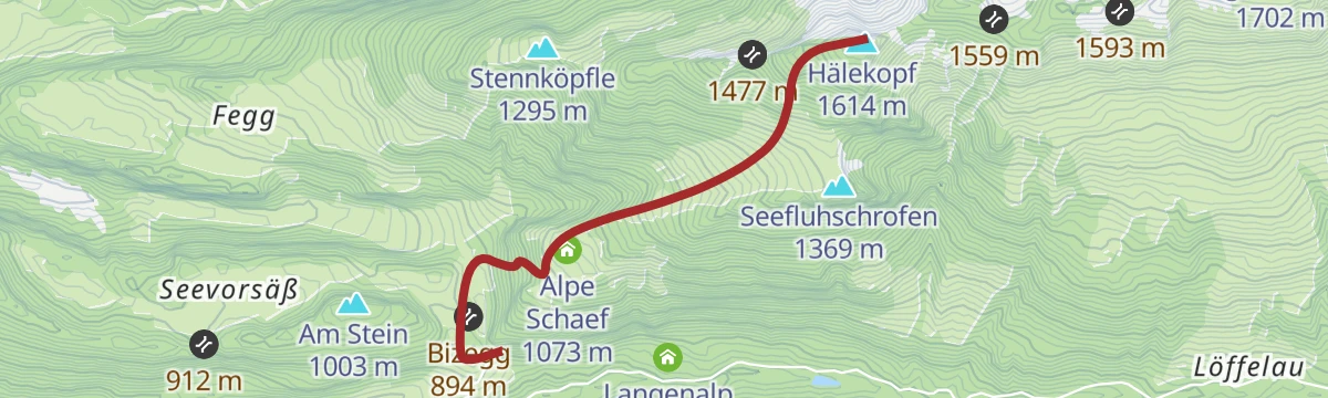
Open route Vorarlberg TourismusBezau | Seefluh – Schönenbach
Along the Grebenbach and up through Fegg to the Stennalpe and the Seefluh, ending in the vorsäß village of Schönenbach.
- 15.0 km
- Distance
- 952 m
- Ascent
- 5 h 48 min
- Duration
Open route Vorarlberg TourismusSchönenbach - Sienspitze
530 m on skis from Schönenbach to Sienspitze, 2.1 km with its high point at 1,592 m.
- 1.9 km
- Distance
- 0 m
- Ascent
- 0 m
- Descent
- 28 min
- Duration
Open route PeakVisor tTRL (OpenStreetMap piste_type=skitour)Bezau | Schönenbach – Schreiberesattel
A hard ride from Bezau to Schönenbach and back over the Schreiberesattel and the Wildmoos alps.
- 29.5 km
- Distance
- 1 233 m
- Ascent
- 3 h 47 min
- Duration
Open route Vorarlberg TourismusReuthe | Kehnerweg aufs Schnellvorsäß
A steep forest path out of the Hof quarter, climbing directly to the Schnell vorsäß above the village.
- 4.1 km
- Distance
- 590 m
- Ascent
- 2 h 19 min
- Duration
Open route Vorarlberg TourismusBizau | Sienspitze
A full day from Bizau by Hilkat and the Langenalpe to the 1,600 m Sienspitze, with views the whole way.
- 18.0 km
- Distance
- 982 m
- Ascent
- 6 h 60 min
- Duration
Open route Vorarlberg TourismusSchönenbach - Stoggertennalpe
A ski tour from Schönenbach to Stoggertennalpe, 590 m of climbing in 3.9 km to a high point of 1,627 m.
- 3.7 km
- Distance
- 0 m
- Ascent
- 0 m
- Descent
- 54 min
- Duration
Open route PeakVisor tTRL (OpenStreetMap piste_type=skitour)Bezau | Weißenfluh – Schwarzenberg – Bezau
A ride from Bezau over the Weißenfluh to Schwarzenberg and back down the valley.
- 27.9 km
- Distance
- 979 m
- Ascent
- 3 h 24 min
- Duration
Open route Vorarlberg TourismusSchönenbach | Rundweg auf die Stoggertennalpe
A round past several dairy alps out of Schönenbach, one of the finest vorsäß settlements in Vorarlberg and lived in only from June to September.
- 11.9 km
- Distance
- 514 m
- Ascent
- 4 h 3 min
- Duration
Open route Vorarlberg TourismusKäseweg Bregenzerwald | Schetteregg – Au (3. Etappe)
The third stage of the Käseweg, from Schetteregg over the Hammeratsberg vorsäß and Schönenbach down to Au.
- 20.4 km
- Distance
- 718 m
- Ascent
- 6 h 47 min
- Duration
Open route Vorarlberg TourismusBezau | Winterstaude vom Ortszentrum
From the middle of Bezau up the Winterstaude and back over the ridge of the Stongerhöhe and the Niedere.
- 18.2 km
- Distance
- 1 324 m
- Ascent
- 3 h 19 min
- Duration
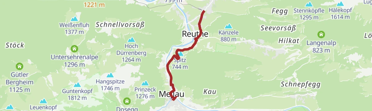
Open route Vorarlberg TourismusUmgang Bezau / Reuthe
A round between Bezau, the administrative centre of the region, and Reuthe with its old church and timber works.
- 9.0 km
- Distance
- 120 m
- Ascent
- 2 h 24 min
- Duration
Open route Vorarlberg TourismusMin Weag 08 | Schönenbach – Mittelberg
A hard full-day crossing from the Bregenzerwald into the Kleinwalsertal that demands good route-finding.
- 18.3 km
- Distance
- 1 289 m
- Ascent
- 8 h 13 min
- Duration
Open route Vorarlberg TourismusBike & Hike | Auf die Sienspitze
Ride the toll road to the vorsäß settlement of Schönenbach and on to Hinteregg, then walk up the Sienspitze.
- 20.1 km
- Distance
- 907 m
- Ascent
- 2 h 38 min
- Duration
Open route Vorarlberg TourismusDamüls | Rundtour zur Alpe Schönenbach
A long circuit from Damüls through the valley villages to the alp settlement of Schönenbach and back over Au.
- 47.7 km
- Distance
- 1 473 m
- Ascent
- 5 h 37 min
- Duration
Open route Vorarlberg TourismusMellau l Rennrad Mellau – Lorenapass
A road ride linking eight villages of the middle Bregenzerwald over the Bödele and the Lorenapass.
- 42.9 km
- Distance
- 738 m
- Ascent
- 4 h 30 min
- Duration
Open route Vorarlberg TourismusWald- und Wiesentour durch den Bregenzerwald
Meadow and forest tracks out of Egg through Schönenbach and Bezau, climbing 1,000 m across the Bregenzerwald.
- 39.8 km
- Distance
- 1 108 m
- Ascent
- 4 h 35 min
- Duration
Open route Vorarlberg Tourismus GmbH










No routes of this kind in Bezau yet.
Planning a trip to Bezau?
Everything else Vorarlberg has, in one place


Take Bezau with you into the mountains
Every route on this page with 3D terrain, GPX navigation and offline maps — including the valleys with no signal.
Data sources
- Official website: bezau.at ↗
- Routes and highlights: Vorarlberg Tourismus, PeakVisor / OpenStreetMap, PeakVisor tTRL (OpenStreetMap piste_type=skitour), Bregenzerwald Tourismus, Vorarlberg Tourismus GmbH
- Published as open data by the tourist boards named above.
- Region summary generated from the board's own material.
