
 Historic site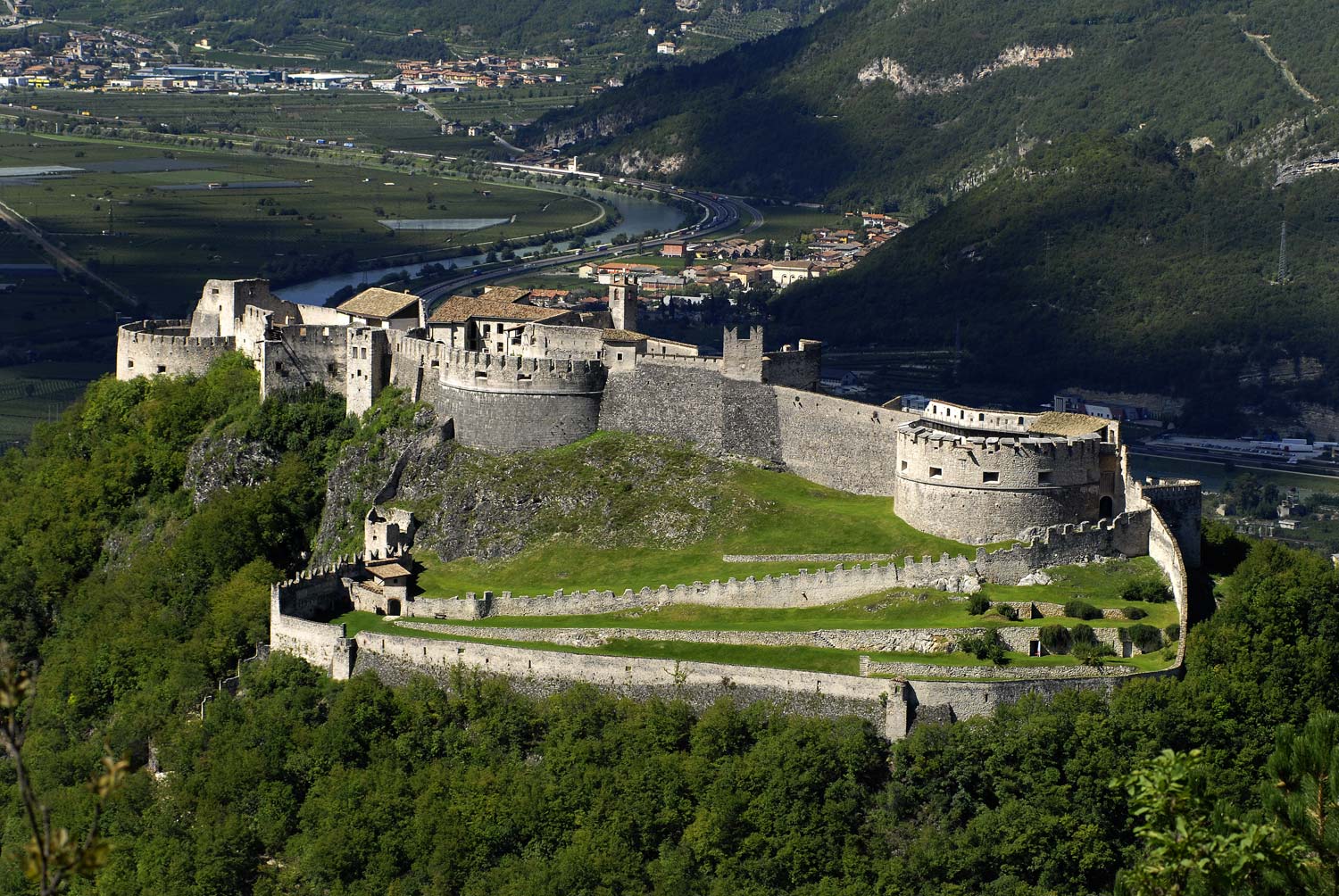











Curated by Visitrovereto
Besenello
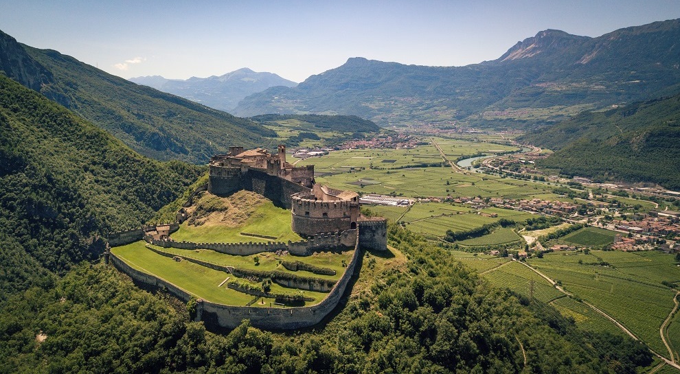
Vallagarina village below Castel Beseno, the largest fortified complex in Trentino, spread along a ridge above the Adige.
- 6Highlights
- 25Routes
- Featured summit · Becco di Filadonna
Highlights
9 from neighbouring places
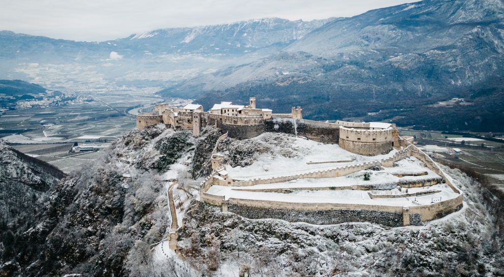
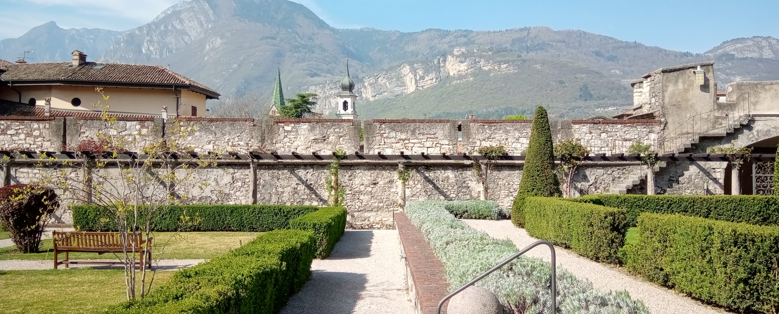
Castel Beseno
The largest fortified complex in Trentino, spread along a ridge above the Adige, held by the Trapp for centuries.
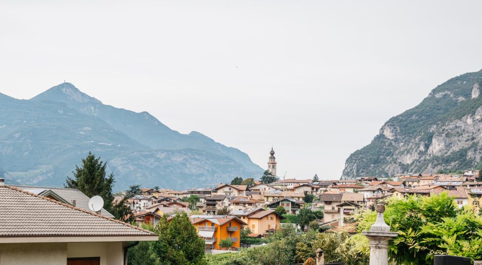
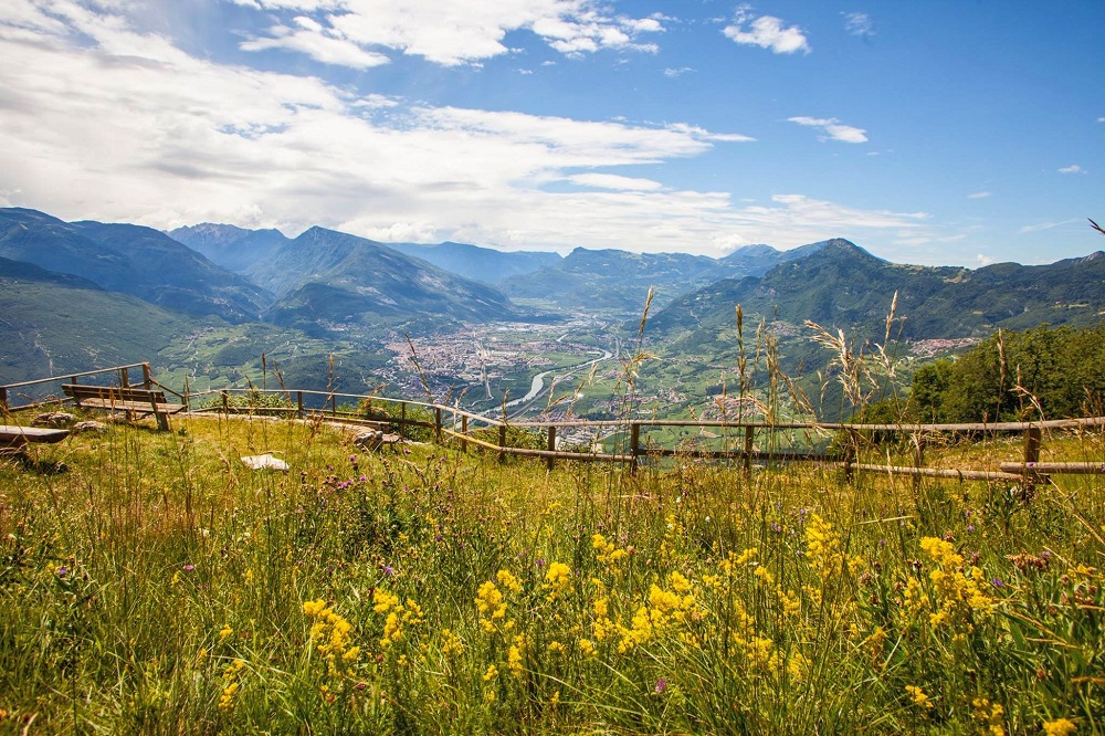
Besenello, am Fuße der Burg Beseno
The village of Besenello, at the foot of the Beseno castle ridge in the Vallagarina.
Die Burg von Beseno
Castel Beseno above the Adige, its walls following the whole crest of the ridge.
Riserva naturale della Scanuppia
A reserve of fir forest and pasture on the Vigolana slopes above Besenello.
Besenello, ai piedi di Castel Beseno
Besenello, on the Adige floor below the long ridge that carries Castel Beseno.
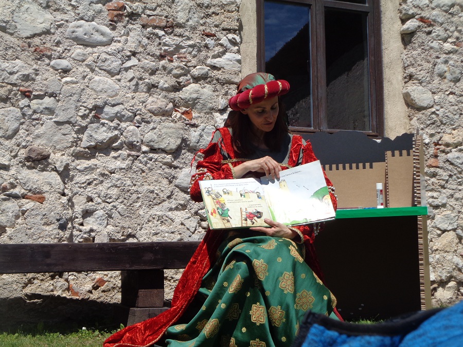
Castel Beseno per bambini
Castel Beseno's family route, with armour to handle and the tournament ground to walk.
Castello del Buonconsiglio
13.2 km away, in Trento
The residence of Trento's prince-bishops for four centuries, with the Torre Aquila and its Cycle of the Months.
Forra del Lupo
8.3 km away, in Terragnolo
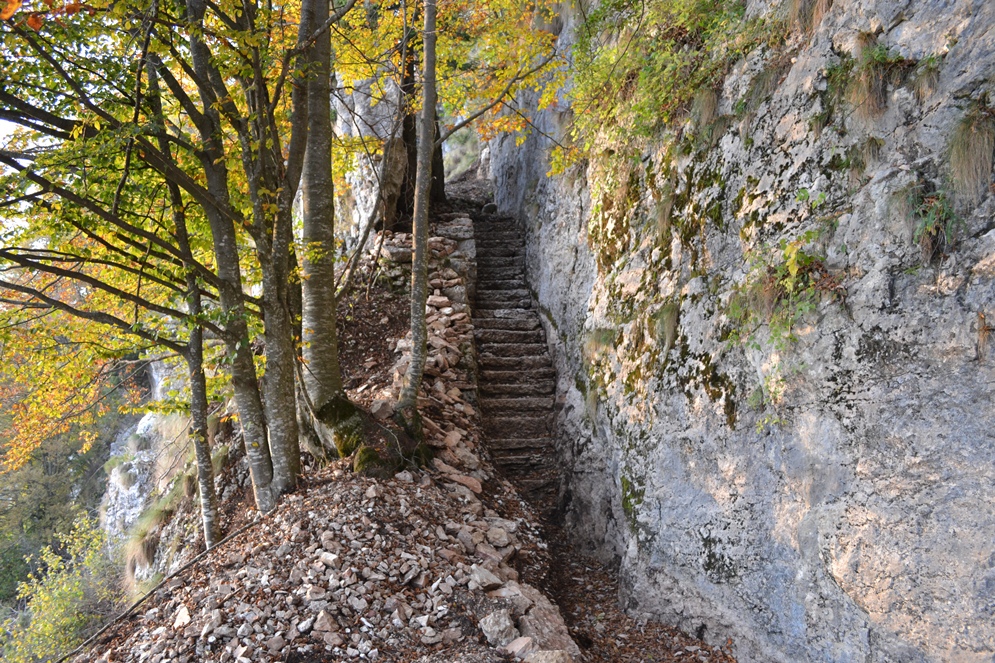
A restored Austrian trench line cut along a gorge wall above Terragnolo, walkable end to end.
Lago di Cei
10 km away, in Villa Lagarina
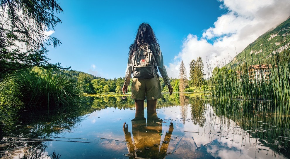
A small lake in woods on the terrace above Villa Lagarina, with a peat bog at one end.
Museo Diocesano di Villa Lagarina
10 km away, in Villa Lagarina
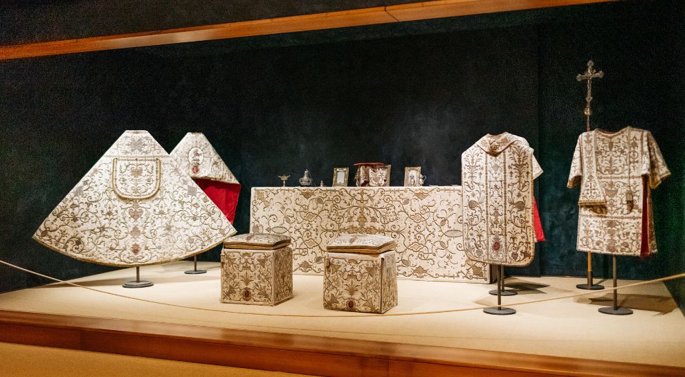
Church silver, vestments and paintings at Villa Lagarina, shown beside Santa Maria Assunta.
Chiesa Santa Maria Assunta
10 km away, in Villa Lagarina
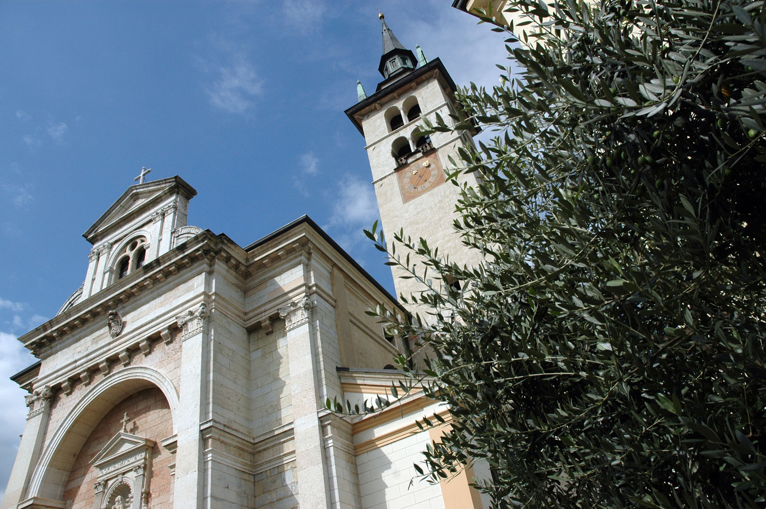
The parish church of Villa Lagarina, its baroque Chapel of St Ruprecht panelled in marble.
Parco Guerrieri Gonzaga
10.1 km away, in Villa Lagarina
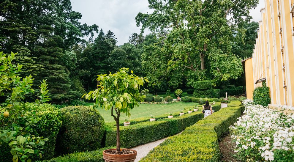
The park of the Guerrieri Gonzaga palace at Villa Lagarina, with cedars and a formal garden.
Die Leno Bergseen
10.2 km away, in Rovereto
Pools in the Leno gorge above Rovereto, reached by a path along the stream.
Nothing of this kind in Besenello.
Routes
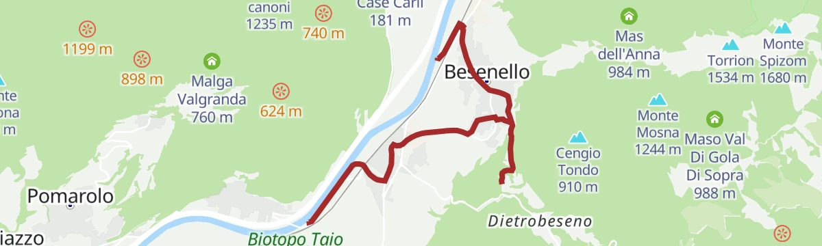
Fiume Adige ASM
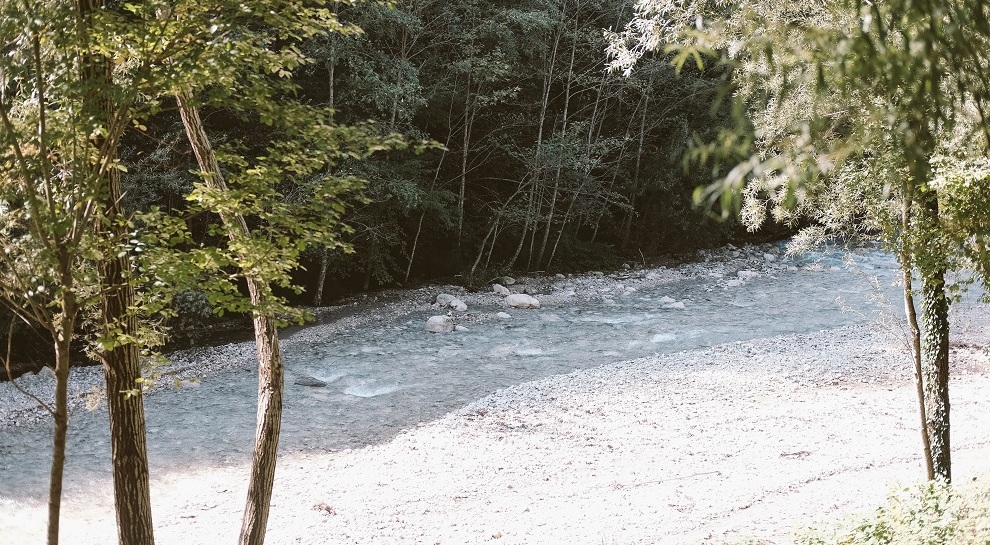
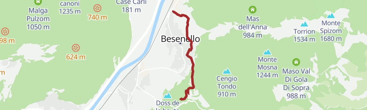
A flat riverside stretch along the Adige at Besenello, below Castel Beseno.
- 4.6 km
- Distance
- 0 m
- Ascent
- 1 h 5 min
- Duration
- 1
- Check-ins
Art Trail
A family-friendly circuit through the woods of Alta Vallagarina, past the frescoed church of San Rocco and the old bird-catching cages.
- 9.6 km
- Distance
- 342 m
- Ascent
- 3 h 4 min
- Duration
- 1
- Check-ins
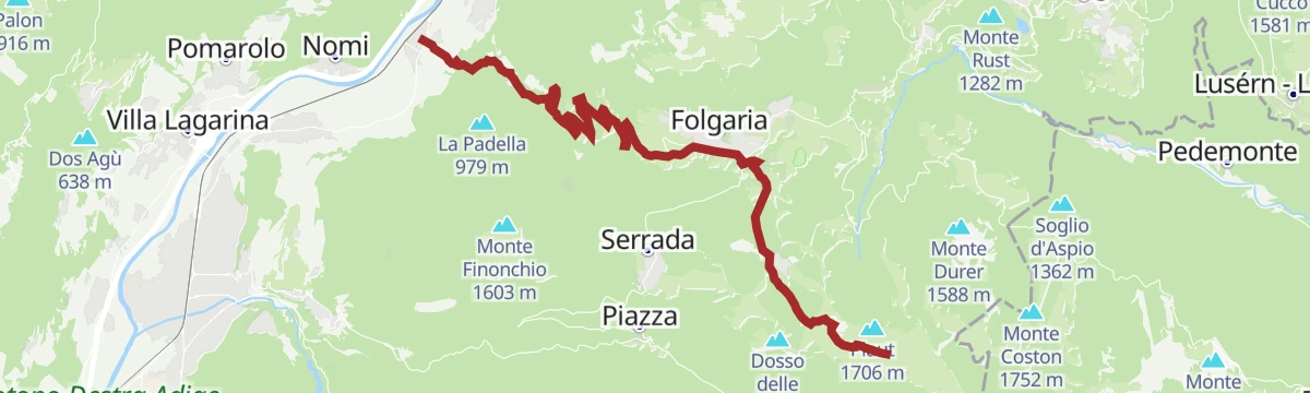
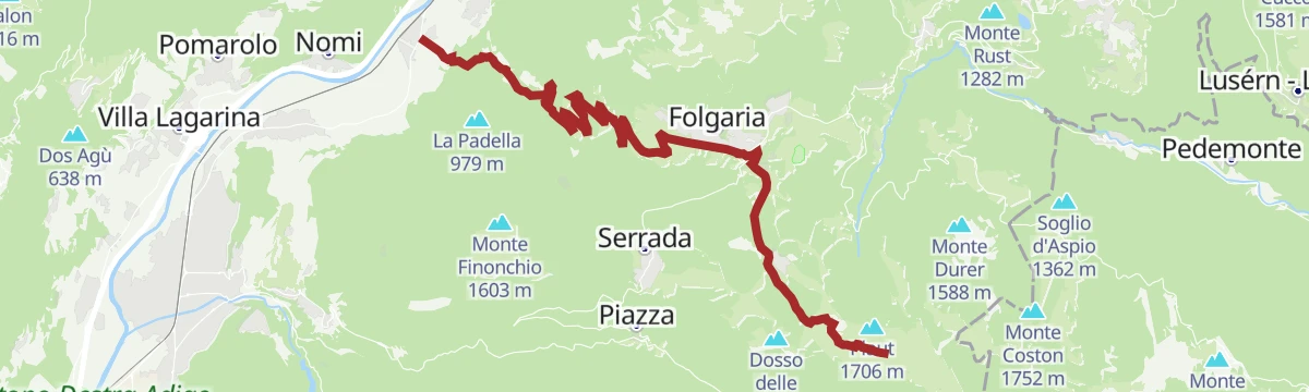
Open route APT Rovereto Vallagarina Monte BaldoSAT - E425 - Folgaria - Bècco di Filadonna
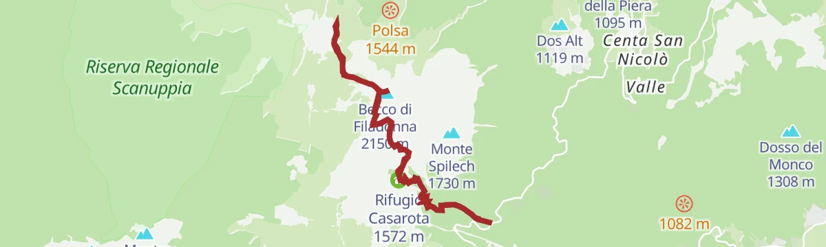
A long climb from Folgaria on a Great War military road up the Val di Gola, over the Cornetto and on to the Vigolana's highest top.
- 10.9 km
- Distance
- 1 223 m
- Ascent
- 5 h 53 min
- Duration
- 91
- Check-ins
 Becco di Filadonna 2 150 m
- Cornetto 2 060 m
- Antecima Cornetto 2 045 m
- Terza Cima 2 027 m
- Seconda Cima 1 999 m
 Bivacco Giacomelli alla Madonnina 1 981 m
Open route Azienda per il Turismo Alpe CimbraFolgaria - Mattarello - Passo della Fricca - Passo del Sommo
A descent from Folgaria to the Adige floor, back over the Fricca and Sommo passes above the Centa valley.
- 54.5 km
- Distance
- 1 618 m
- Ascent
- 6 h 22 min
- Duration
- 51
- Check-ins
- Albergo Bar Ristorante Sindech 1 108 m
 Valico della Fricca 1 110 m
- Passo Sommo 1 341 m
- Chalet Passo Sommo 1 348 m
- La Roccia 438 m
- Albergo al Bosco 922 m
- +5
Open route Azienda per il Turismo Alpe CimbraAlong the Moscato Giallo wine route
A short ride off the Adige cycle path at Besenello, climbing to Castel Beseno and dropping through the Moscato Giallo vineyards towards Nomi.
- 7.5 km
- Distance
- 178 m
- Ascent
- 50 min
- Duration
- 2
- Check-ins
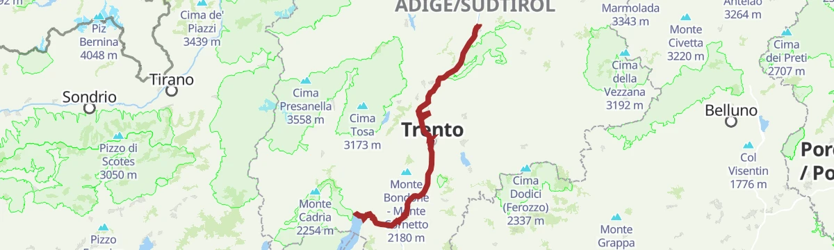
Open route APT Rovereto Vallagarina Monte BaldoCastelfeder – Trento – Garda
A cycle-path route down the Adige from Ora to Lake Garda, through orchards, vineyards and the old river towns.
- 92.1 km
- Distance
- 198 m
- Ascent
- 8 h 25 min
- Duration
- 172
- Check-ins
- Prati Del Diavolo 208 m
- Taio 189 m
- Garda Dolomiti Azienda per il turismo S.p.A. 69 m
- Soardi Center 212 m
- cappella di San Rocco 213 m
- Passo San Giovanni 272 m
- +15
Open route Sterzing, Pfitsch und FreienfeldTo The Tower 2026 | Walking route
A short walk from the car park at Besenello up to Castel Beseno, with a refreshment stop on the way.
- 3.0 km
- Distance
- 228 m
- Ascent
- 1 h 6 min
- Duration
Open route APT Rovereto Vallagarina Monte BaldoBesenello tour, between Beseno Castle and the Zambel waterfalls
A loop from Besenello up to the castle over the Vallagarina, then into the Rio Cavallo gorge past the Zambel waterfall.
- 7.5 km
- Distance
- 202 m
- Ascent
- 2 h 15 min
- Duration
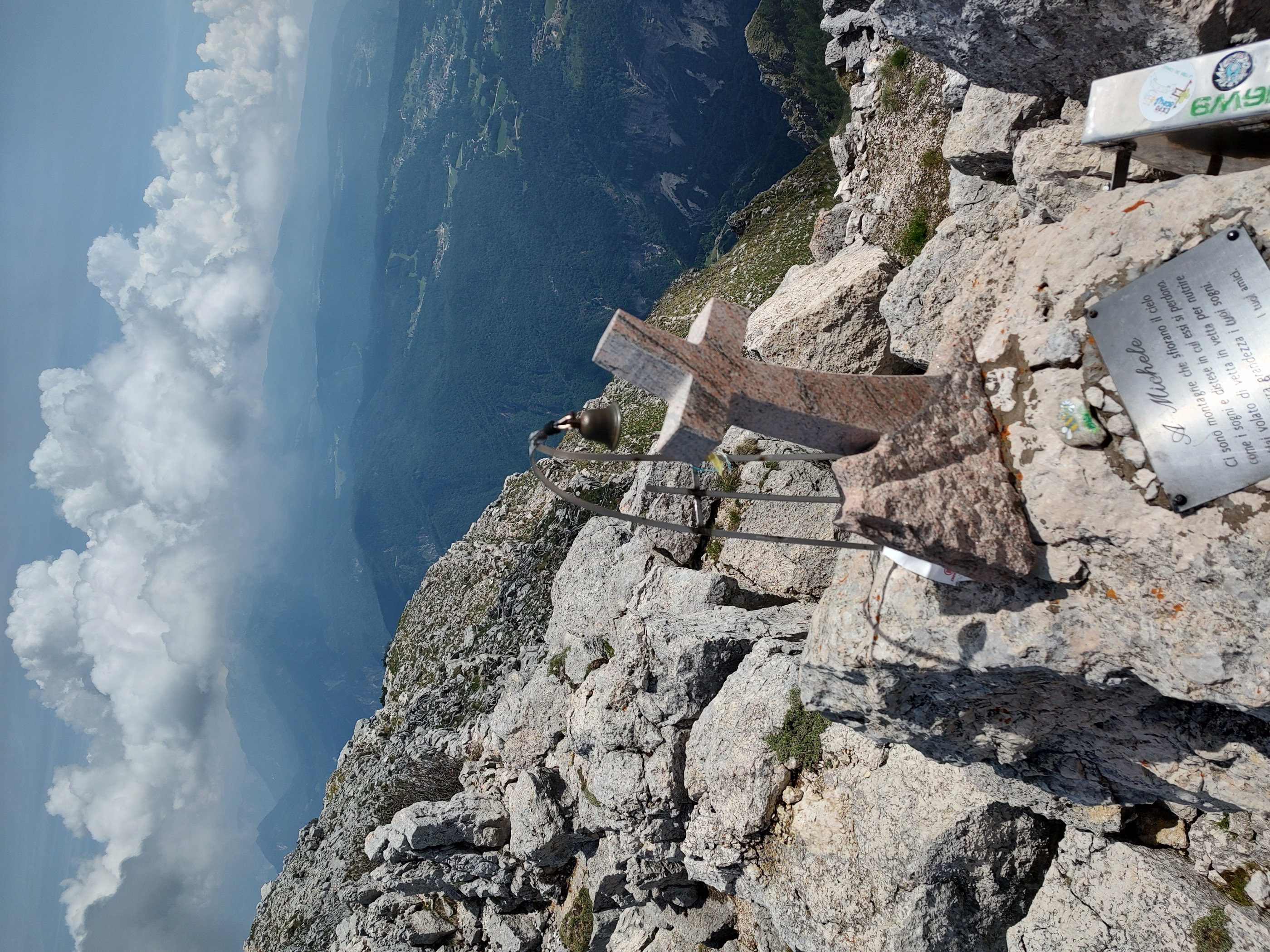
Open route APT Rovereto Vallagarina Monte BaldoAt Becco di Filadonna and the Madonnina bivouac
A demanding climb to the highest summit of the Vigolana, with short equipped sections and the Bivacco Giacomelli perched below the rock pinnacle.
- 10.7 km
- Distance
- 1 406 m
- Ascent
- 8 h 15 min
- Duration
- 90
- Check-ins
- Becco di Filadonna 2 150 m
- Bivacco Giacomelli alla Madonnina 1 981 m
- Rifugio Casarota 1 572 m
- Albergo Bar Ristorante Sindech 1 108 m
- Valico della Fricca 1 110 m
Open route Azienda per il Turismo Alpe CimbraDiscovery tour of the Altipiani
A demanding climb from the valley floor through Terragnolo to the Cimbrian highlands, over Passo Sommo and Passo Coe with Malga Coe on top.
- 88.4 km
- Distance
- 2 328 m
- Ascent
- 10 h 2 min
- Duration
- 126
- Check-ins
- Passo Coe 1 610 m
- Passo Sommo 1 341 m
- eghel pause 1 609 m
- Hotel Forte Cherle 1 417 m
- Hangar Bar Lago Coe 1 541 m
- Malga Coe 1 609 m
- +23
Open route APT Rovereto Vallagarina Monte BaldoRing of Sopra Besenello for Val dei Vignai
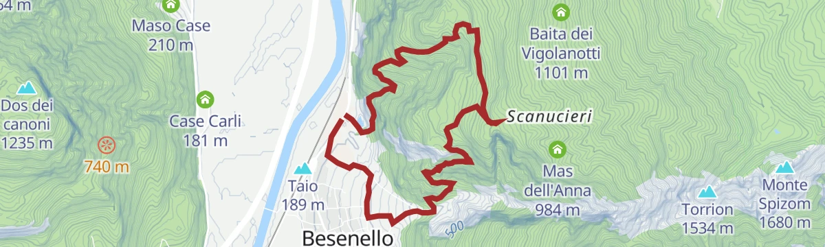
A loop above Besenello on path E454, linking Posta Vecchia with the Emperor's Trail; the exposed climb needs care, more so on wet ground.
- 7.4 km
- Distance
- 679 m
- Ascent
- 4 h 15 min
- Duration
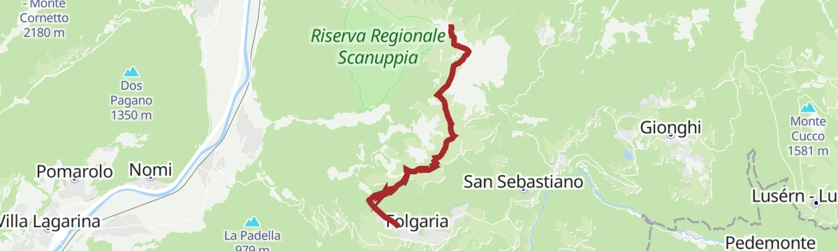
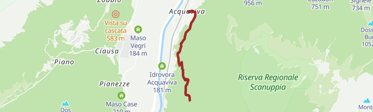
Open route APT Rovereto Vallagarina Monte BaldoAscent from Besenello to the Scanuppia Reserve
The climb on SAT trail E431 to the Scanuppia reserve below the Vigolana, starting on the cemented ramp known as one of the steepest roads anywhere.
- 14.9 km
- Distance
- 1 349 m
- Ascent
- 8 h 28 min
- Duration
- 1
- Check-ins
Open route APT Rovereto Vallagarina Monte BaldoFolgaria - Serrada - Terragnolo - Rovereto - Calliano - Passo Coe - Fiorentini
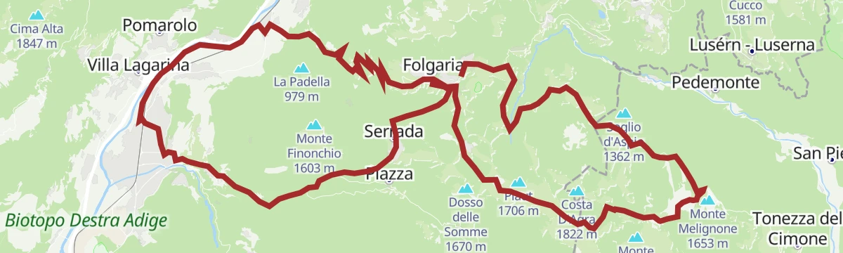
A long circuit from Folgaria down the Terragnolo to the Adige, then the long climb back to the Passo Coe.
- 74.5 km
- Distance
- 2 267 m
- Ascent
- 8 h 44 min
- Duration
- 118
- Check-ins
- Passo Coe 1 610 m
- Passo Sommo 1 341 m
- eghel pause 1 609 m
- Hotel Forte Cherle 1 417 m
- Hangar Bar Lago Coe 1 541 m
- Malga Coe 1 609 m
- +18
Open route Azienda per il Turismo Alpe CimbraThe Emperor's Path
A short, steep military-built path above the Adige, carried on low stone walls, with the cultivated valley floor spread out below.
- 4.4 km
- Distance
- 611 m
- Ascent
- 2 h 29 min
- Duration
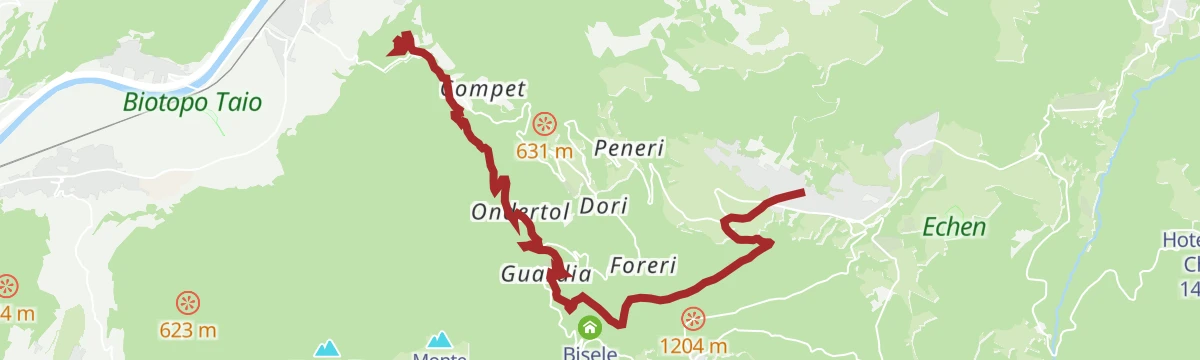
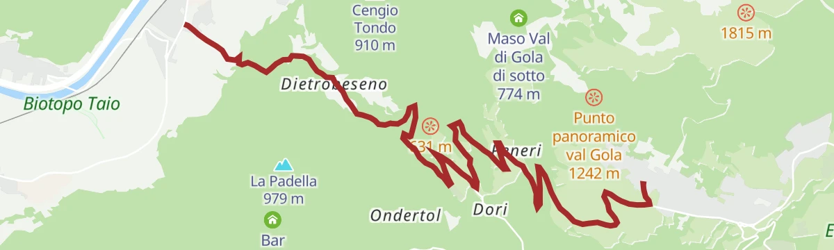
Open route APT Rovereto Vallagarina Monte BaldoFrom the castle to the mountain - return
A demanding route above the Rio Cavallo valley past the remains of a wartime cableway station and the Cimbrian farmstead of Ondertol.
- 10.9 km
- Distance
- 993 m
- Ascent
- 4 h 52 min
- Duration
- 1
- Check-ins
- Tourist Information Office 1 168 m
- Bait delle Reot 723 m
 Acquedotto 499 m
- Biglietteria 411 m
Open route Azienda per il Turismo Alpe CimbraCastelfeder – Trient – Garda
The same Adige descent to Lake Garda on well-signed paths, at a gradient that suits riders of any standard.
- 91.6 km
- Distance
- 125 m
- Ascent
- 8 h 18 min
- Duration
- 110
- Check-ins
- Garda Dolomiti Azienda per il turismo S.p.A. 69 m
- cappella di San Rocco 213 m
- Passo San Giovanni 272 m
- Chiesa di Sant'Antonio 223 m
- Villa Eleganza 228 m
- Mori - Ala 167 m
- +7
Open route Südtirols SüdenTour to the Garda Lake
A long, nearly level ride down to the north end of Lake Garda and the villages along its shore.
- 96.2 km
- Distance
- 166 m
- Ascent
- 8 h 45 min
- Duration
- 110
- Check-ins
- Garda Dolomiti Azienda per il turismo S.p.A. 69 m
- cappella di San Rocco 213 m
- Passo San Giovanni 272 m
- ENI 197 m
- Villa Eleganza 228 m
- Visitrovereto.it 190 m
- +7
Open route Südtirols SüdenGita giornaliera al Lago di Garda
A road-bike day out to Lake Garda over the Passo San Giovanni, almost flat for its whole length.
- 98.6 km
- Distance
- 131 m
- Ascent
- 8 h 56 min
- Duration
- 98
- Check-ins
- Prati Del Diavolo 208 m
- Soardi Center 212 m
- cappella di San Rocco 213 m
- Passo San Giovanni 272 m
- Chiesa di Sant'Antonio 223 m
- ENI 197 m
- +12
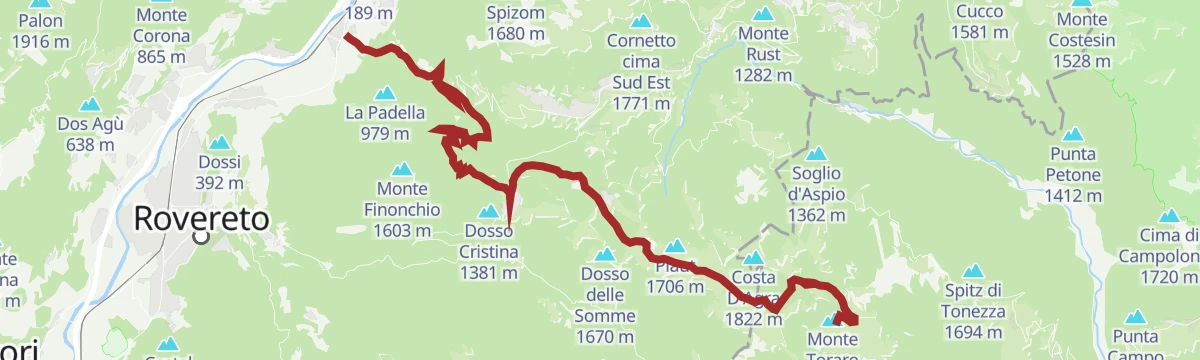
Open route Sterzing, Pfitsch und FreienfeldCalliano - Mezzomonte - Guardia - Serrada - Passo Coe - Forcella Valbona - Toraro
A long climb from Calliano through Folgaria to the Passo Coe and on to Monte Toraro.
- 28.5 km
- Distance
- 1 888 m
- Ascent
- 3 h 43 min
- Duration
- 70
- Check-ins
- Passo Coe 1 610 m
- eghel pause 1 609 m
- Hangar Bar Lago Coe 1 541 m
- Malga Coe 1 609 m
- Ski-Bar Schneider 1 614 m
- Osteria Coe 1 613 m
- +9
Open route Azienda per il Turismo Alpe CimbraPasso Coe ascent - Great Trentino climbs
One of the great Trentino climbs, from 187 m at Calliano to the Coe pass on the Folgaria plateau.
- 19.1 km
- Distance
- 1 518 m
- Ascent
- 2 h 43 min
- Duration
- 55
- Check-ins
- Passo Coe 1 610 m
- eghel pause 1 609 m
- Malga Coe 1 609 m
- Ski-Bar Schneider 1 614 m
- Osteria Coe 1 613 m
- La Stua 1 608 m
- +2
Open route Azienda per il Turismo Alpe CimbraPasso Coe
The climb from Calliano to the Passo Coe at 1,610 m, over 1,500 m of gain in under twenty kilometres.
- 19.5 km
- Distance
- 1 487 m
- Ascent
- 2 h 40 min
- Duration
- 46
- Check-ins
- Passo Coe 1 610 m
- eghel pause 1 609 m
- Ski-Bar Schneider 1 614 m
- Osteria Coe 1 613 m
- La Stua 1 608 m
- La baita 1 482 m
- +1
Open route VisitTrentinoCiclovia della Valle dell'Adige
The Adige valley cycleway the length of Trentino, linking Bolzano province with Verona.
- 81.3 km
- Distance
- 41 m
- Ascent
- 7 h 16 min
- Duration
- 42
- Check-ins
Cycling among wineries and castles
A long Vallagarina loop between vineyards and hill fortresses, with Castel Beseno and cellar stops strung along the way.
- 91.2 km
- Distance
- 821 m
- Ascent
- 8 h 52 min
- Duration
- 17
- Check-ins
- Mori - Ala 167 m
- Baita operatori e materiale 185 m
- Baita principale 186 m
- Al Casot 127 m
- Locanda al Castello 275 m
- Maso Pozze 172 m
- +6
Open route APT Rovereto Vallagarina Monte BaldoVia Claudia Augusta - cycle path on the Adige in Vallagarina
A flat cycle path beside the Adige through Vallagarina, running from Besenello down the valley past vineyards, villages and hillside castles.
- 40.2 km
- Distance
- 22 m
- Ascent
- 3 h 36 min
- Duration
- 5
- Check-ins
- Mori - Ala 167 m
Open route APT Rovereto Vallagarina Monte BaldoClimb to Folgaria
The road climb from the Vallagarina to Folgaria past Castel Beseno, hard from the first hairpin.
- 12.1 km
- Distance
- 1 003 m
- Ascent
- 1 h 45 min
- Duration
Open route APT Rovereto Vallagarina Monte Baldo
No routes of this kind in Besenello yet.
The region's own picks

Featured route
Fiume Adige ASM
A flat riverside stretch along the Adige at Besenello, below Castel Beseno.
Planning a trip to Besenello?
Everything else Trentino-Alto Adige/Südtirol has, in one place


Take Besenello with you into the mountains
Every route on this page with 3D terrain, GPX navigation and offline maps — including the valleys with no signal.
Data sources
- Official website: visitrovereto.it ↗
- Routes and highlights: Visitrovereto, APT Rovereto Vallagarina Monte Baldo, Azienda per il Turismo Alpe Cimbra, Visit Trentino, Sterzing, Pfitsch und Freienfeld, Südtirols Süden, Italia.it, VisitTrentino
- Published as open data by the tourist boards named above.
- Region summary generated from the board's own material.
