
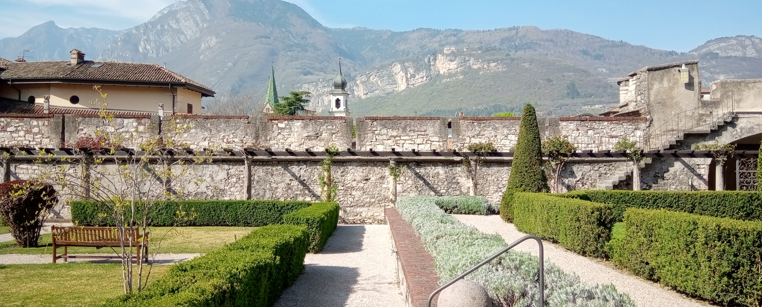
 Historic site


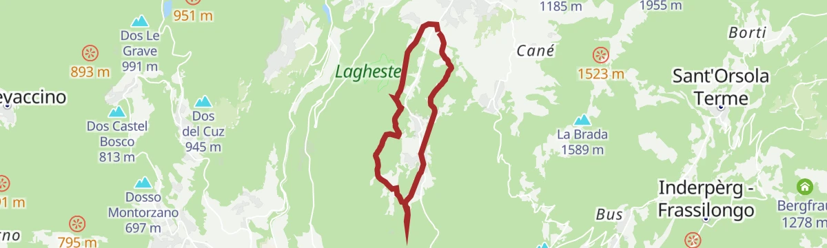


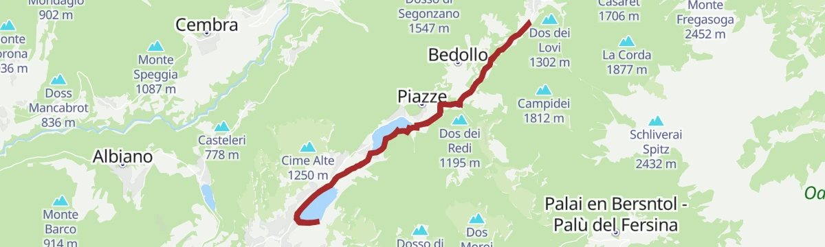


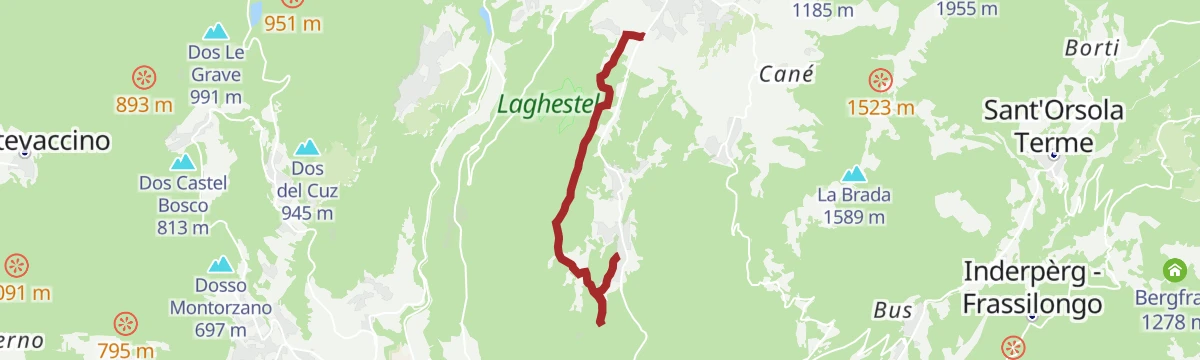


Curated by APT Trento
Baselga di Pinè
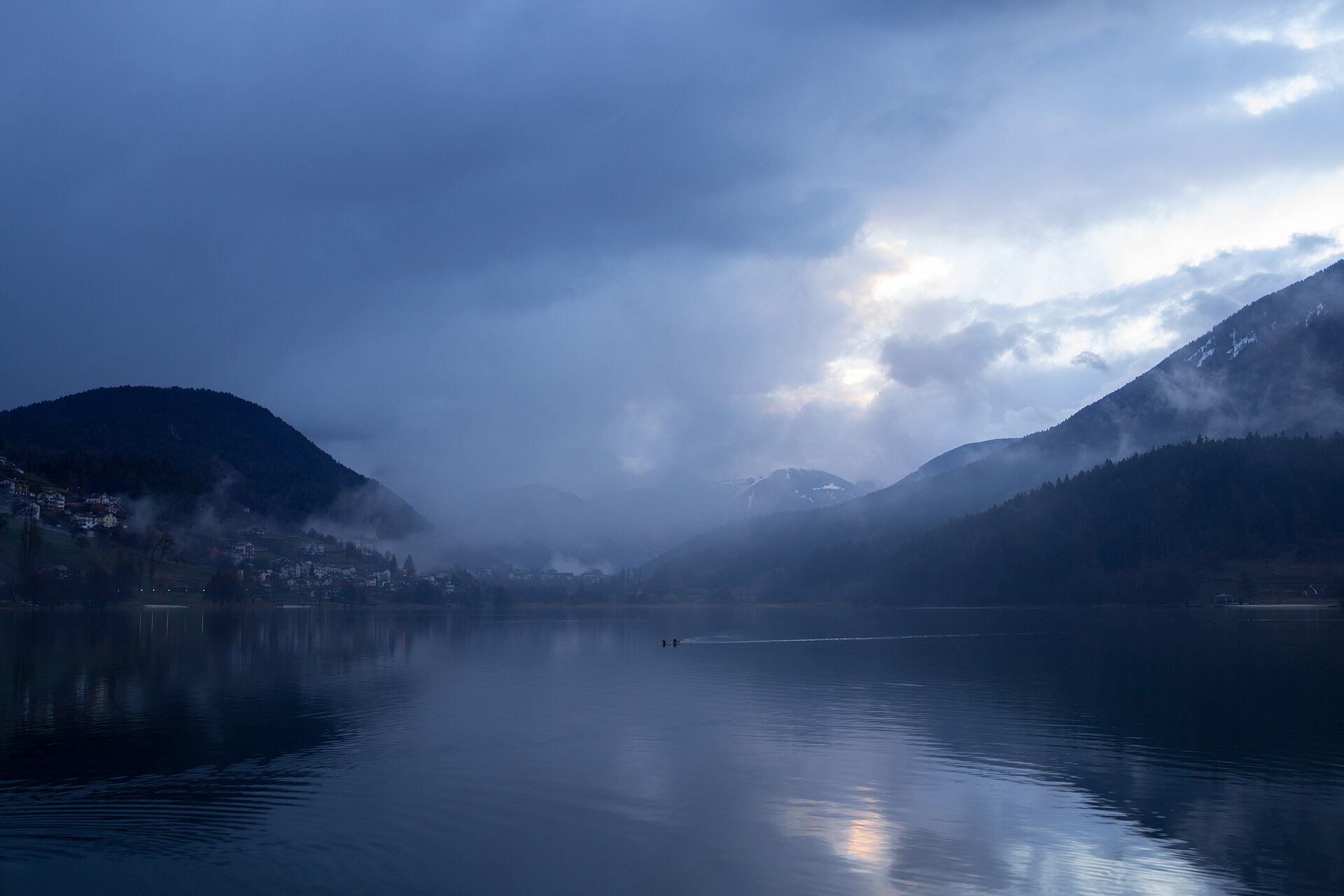
A lake village on the Pinè plateau east of Trento, with the Serraia and Piazze lakes.
- 1Highlights
- 38Routes
- Featured summit · Monte Croce
Highlights
All 1 from neighbouring places
Castello del Buonconsiglio
12 km away, in Trento
The residence of Trento's prince-bishops for four centuries, with the Torre Aquila and its Cycle of the Months.
Nothing of this kind in Baselga di Pinè.
Routes
From the lake to Ferrari locality - connecting route
A connecting walk past the Pinè ice rink and the strawberry greenhouses to Miola, near the St Joseph church on the Vigo hill.
- 3.3 km
- Distance
- 20 m
- Ascent
- 52 min
- Duration
- 8
- Check-ins
Open route APT TrentoDosso di Costalta
A climb to the Dosso di Costalta at 1,955 m, the eastern end of the Lagorai between the Pinè plateau and the Valle dei Mocheni.
- 11.5 km
- Distance
- 830 m
- Ascent
- 5 h 28 min
- Duration
- 57
- Check-ins
 Dosso di Costalta 1 955 m
- Dos del Nel 1 185 m
- Tombola 1 184 m
- Dos de le Salare 1 491 m
 Ruderi baracca 1 948 m
- Mas dei Bozzi 1 105 m
- +3
Open route APT Valsugana e LagoraiDosso di Costalta from Miola di Piné
A climb from Miola to the Dosso di Costalta, returning the same way or continuing by Malga Cambroncoi to the Passo del Redebus.
- 14.0 km
- Distance
- 964 m
- Ascent
- 6 h 26 min
- Duration
- 70
- Check-ins
- Dosso di Costalta 1 955 m
- Dos del Nel 1 185 m
- Tombola 1 184 m
- Ruderi baracca 1 948 m
- Mas dei Candidi 1 071 m
- Mas dei Ciotoi 1 064 m
- +6
Open route APT TrentoTour 858 - Costalta
A long bike ascent to the Dosso di Costalta on forest roads, with push sections near the top and Lake Serraia far below.
- 22.6 km
- Distance
- 1 112 m
- Ascent
- 3 h 6 min
- Duration
- 79
- Check-ins
- Dosso di Costalta 1 955 m
- Dos del Nel 1 185 m
- Tombola 1 184 m
- Dos de le Salare 1 491 m
- Dos de la Piazzola 1 482 m
- Ruderi baracca 1 948 m
- +9
Open route APT TrentoBetween art, sacred and taste in Montagnaga di Piné
A short tour on dirt tracks and asphalt from the Laghestel reserve up to the Madonna di Piné sanctuary and the Redeemer monument.
- 8.8 km
- Distance
- 222 m
- Ascent
- 59 min
- Duration
- 3
- Check-ins
Open route APT TrentoGiro del Manghen
A long road loop from the Piné plateau up to Passo Manghen, a climb used by the Giro d'Italia, dropping back over the Sella di Vignola.
- 106.5 km
- Distance
- 2 824 m
- Ascent
- 12 h 7 min
- Duration
- 124
- Check-ins
- Dos de le Morf 956 m
- Baita Manghen Hütte 2 019 m
 Lago di Cadinel 2 014 m
 Passo Manghen 2 047 m
- Parc Hotel Du Lac 454 m
- Sella di Vignola 557 m
- +20
Open route APT TrentoLago Serraia
A short circuit of Lake Serraia, the larger of the two lakes on the Pinè plateau.
- 2.9 km
- Distance
- 15 m
- Ascent
- 43 min
- Duration
- 5
- Check-ins
Trekking at Monte Rujoch
A loop under a peak whose long ridge curves round in a wide semicircle, crossing the Passo del Campivèl on quiet, little-visited ground.
- 10.6 km
- Distance
- 771 m
- Ascent
- 5 h 5 min
- Duration
- 20
- Check-ins
- Monte Ruioch 2 414 m
- Cimon di Pontara 2 164 m
- Schliverai Spitz 2 432 m
- Schvorzlommer 2 391 m
- Pala di Stramaiolo - Mitreck 2 362 m
- Uomo Vecchio 2 334 m
- +8
Open route APT TrentoTrekking Baitol - Monte Croce
A long climb to the highest point of the Altopiano di Piné, crossing the Passo Scalet and taking in the tops of Col del Craiz and Baitol.
- 18.2 km
- Distance
- 1 495 m
- Ascent
- 9 h 25 min
- Duration
- 43
- Check-ins
- Monte Croce 2 490 m
- Col del Craiz 2 413 m
- Baitol 2 315 m
- Pala di Cagnon 2 308 m
- Campanile del Baitol 2 280 m
- Passo Scalet 2 212 m
- +9
Open route APT TrentoRoute 857 - Bellavista Ceramont
A bike route to the Bellavista lookout over the terraced vineyards of the Cembra valley and the Frog Pond at Bedolpian, replanted after the Vaia storm.
- 21.9 km
- Distance
- 745 m
- Ascent
- 2 h 39 min
- Duration
- 23
- Check-ins
- Dolomiti Energia 1 026 m
- Palustel del Croz 1 208 m
- Rifugio Ceramont (ex baita del Nello) 1 199 m
- Le Palù 1 196 m
- Mas dei Moneti 1 083 m
- Mas del Rampin 1 065 m
- +3
Open route APT TrentoWalk from Baselga to Montagnaga along the cycle path
A flat family tour on the shared cycle and footpath beside the Laghestel biotope, starting by the Ferrari area at Baselga and ending in Montagnaga.
- 8.7 km
- Distance
- 122 m
- Ascent
- 53 min
- Duration
Open route APT TrentoHigh altitude route of the Valle dei Mocheni starting from Piné
A circuit on forest and minor roads over Passo del Redebus and up to La Bassa below the Panarotta, past Malga Pletzn and the Scalzerhof.
- 61.3 km
- Distance
- 2 515 m
- Ascent
- 7 h 49 min
- Duration
- 94
- Check-ins
- La Bassa 1 834 m
- Passo del Redebus - Sontbisn 1 455 m
- agritur Scalzerhof 1 534 m
- Malga Pletzn 1 600 m
- Garage Mezzi Battipista sci da fondo 1 461 m
- APT Piné 974 m
- +13
Open route APT TrentoLago di Serraia
An easy walk round Lake Serraia below Baselga di Pinè, level all the way.
- 3.0 km
- Distance
- 12 m
- Ascent
- 44 min
- Duration
- 5
- Check-ins
Alternative E5 route for Brusago - Malga Stramaiolo (high route)
A high alternative on the E5, climbing from Brusago into the conifer woods of the Lagorai and past the Spruggio dairy huts to Malga Stramaiolo.
- 14.7 km
- Distance
- 850 m
- Ascent
- 5 h 22 min
- Duration
- 19
- Check-ins
- Malga Pontara 1 629 m
- Malga Spruggio Alta 1 887 m
- Baita ex malga Regnana - ASUC di Faida 1 486 m
- Agritur Malga Stramaiolo 1 676 m
- Malga Spruggio Bassa 1 622 m
- Malga Sprugio Bassa 1 617 m
- +5
Open route APT TrentoTour 856 - Villages of Baselga di Piné
A long round of the Pinè plateau villages, from the Dosso di Miola above Lake Serraia to Tressilla, San Mauro and the sanctuary at Montagnaga.
- 28.9 km
- Distance
- 856 m
- Ascent
- 8 h 53 min
- Duration
- 17
- Check-ins
- Dos de l'Oselera 1 093 m
- Dosso di San Mauro 809 m
- Dos dei Ronchi 991 m
- APT Piné 974 m
- Ca' dei Beti 1 060 m
- Ruderi Molin de la Ita 914 m
- +5
Open route APT TrentoRoute 859 - Brada
A hard bike route up the Sas Bianc forest road to Monte La Brada, with exposed ground and a view over the Valle dei Mocheni to Lake Caldonazzo.
- 17.5 km
- Distance
- 859 m
- Ascent
- 2 h 24 min
- Duration
- 23
- Check-ins
- Dos de l'Oselera 1 093 m
- La Brada 1 589 m
- Dos dei Fonghi 1 498 m
- Sas Bianch 1 321 m
- Croz de le Scalete 1 655 m
- Dos de le Salare 1 491 m
- +22
Open route APT Trento9 lakes route
A long road tour past the lakes of the Pinè plateau and the Valsugana, over the Sella di Vignola and below Segonzano castle.
- 115.9 km
- Distance
- 2 403 m
- Ascent
- 12 h 33 min
- Duration
- 63
- Check-ins
- Dos de le Morf 956 m
- Parc Hotel Du Lac 454 m
- Dolomiti Energia 1 026 m
- Sella di Vignola 557 m
- Visitvalsugana 491 m
- APT Piné 974 m
- +15
Open route APT TrentoWalk on the hills of Baselga
An easy round from Baselga through its hamlets on quiet lanes, past old houses and fountains and the small churches on the hilltops.
- 5.6 km
- Distance
- 131 m
- Ascent
- 1 h 38 min
- Duration
- 5
- Check-ins
Open route APT TrentoFlavors and relaxation along the lakes of Piné
A flat circuit of the Serraia and Piazze lakes on the Pinè plateau, with beaches, playgrounds and places to eat, and an extension to the Buse pond.
- 9.4 km
- Distance
- 136 m
- Ascent
- 2 h 32 min
- Duration
- 18
- Check-ins
Open route APT TrentoMonte Calvo
A bike ascent of Monte Calvo above the Pinè plateau, up on quiet tarmac and down on a well-kept dirt road.
- 16.0 km
- Distance
- 696 m
- Ascent
- 2 h 5 min
- Duration
- 12
- Check-ins
- Dos dei Fonghi 1 498 m
- Sas Bianch 1 321 m
- Ruderi Mas dei Pintarei 987 m
- Mas del Cristinot 955 m
- Passo del Capriolo 1 221 m
- Mas dela Bolp 1 167 m
- +8
Open route APT TrentoCembra Valley - Pinè Plateau
A hundred-kilometre road tour out of Ziano di Fiemme, crossing to the Piné plateau and returning down the Cembra valley.
- 100.3 km
- Distance
- 2 000 m
- Ascent
- 10 h 47 min
- Duration
- 53
- Check-ins
- Dolomiti Energia 1 026 m
- Misconel Srl 894 m
- APT Piné 974 m
- Capanna 939 m
- Hotel Lagorai Alpine Resort & Spa 1 012 m
- Antico Mas del Medico 854 m
- +14
Open route APT Fiemme CembraWalk to the panoramic viewpoint of Dos de La Mot - from loc. Poggio dei Pini
A walk from Poggio dei Pini round the wooded Dos de la Mot to the scant ruins of the castle on its summit.
- 4.1 km
- Distance
- 160 m
- Ascent
- 1 h 21 min
- Duration
- 3
- Check-ins
- Dos dei Ronchi 991 m
- Dos de la Mot 1 069 m
- Mas de la Purga 1 020 m
- Acquedotto 1 020 m
- Acquedotto 1 065 m
Open route APT TrentoLake Serraia - Lago delle Piazze itinerary
A near-level route between the Serraia and Piazze lakes by way of the Paludi di Sternigo reserve, returning along the far shores.
- 9.2 km
- Distance
- 114 m
- Ascent
- 2 h 26 min
- Duration
- 18
- Check-ins
Open route APT TrentoTour of the Val di Cembra and Pinè
A long day from Trento over four moderate climbs, through the Piana Rotaliana hills, the earth pyramids of the Val di Cembra and the Pinè plateau.
- 86.8 km
- Distance
- 1 991 m
- Ascent
- 9 h 35 min
- Duration
- 38
- Check-ins
- Dolomiti Energia 1 026 m
- ENI 197 m
- APT Piné 974 m
- Chiosco alle Piramidi 601 m
- Maso Sveseri 1 092 m
- Sega Vècia 777 m
- +6
Open route VisitTrentinoDos de la Mot
A short circuit round Dos de la Mot, a wooded knoll of alder, hazel, birch and pine with a ruined castle on top.
- 3.0 km
- Distance
- 90 m
- Ascent
- 55 min
- Duration
- 2
- Check-ins
Open route APT TrentoLakes circuit of the Plateau
A circuit of the two Pinè plateau lakes, flat but for two short rises at Campolongo, part paved and part gravel.
- 9.3 km
- Distance
- 130 m
- Ascent
- 2 h 29 min
- Duration
- 18
- Check-ins
Open route APT TrentoPanoramic tour of the Piné Plateau
A road tour past the Piné lakes with a detour climbing to the Cros del Cuć lookout, and Malga Le Mandre and Baita Alpina on the way.
- 26.9 km
- Distance
- 767 m
- Ascent
- 3 h 7 min
- Duration
- 25
- Check-ins
- Cros del Cuc 1 517 m
- Dolomiti Energia 1 026 m
- APT Piné 974 m
- Baita Alpina 1 311 m
- Piné Salumi 1 073 m
- Malga Le Mandre 1 209 m
- +2
Open route APT TrentoGiro di Bedolpian - the Laghetto delle Rane and the Bellavista
An easy loop through the old pine wood at Bedolpian to the Laghetto delle Rane, whose wooden pier looks onto the water life below.
- 3.3 km
- Distance
- 41 m
- Ascent
- 53 min
- Duration
- 2
- Check-ins
Open route APT TrentoRio Brusago
A flat streamside route along the Rio Brusago on the northern side of the Pinè plateau.
- 10.0 km
- Distance
- 0 m
- Ascent
- 3 h 50 min
- Duration
- 7
- Check-ins
- Vasca dissabbiatrice 1 117 m
- Sega Vècia 777 m
- Opera di presa "Al Matìo" 1 482 m
- El Molin dei Stefeni 821 m
Open route Trentino FishingCycle path of the lakes: Lake Serraia, Lake delle Piazze and Lake delle Buse
A ride across the Paludi di Sternigo reserve above Baselga di Pinè, with a cycle-pedestrian link running on to Brusago.
- 18.0 km
- Distance
- 286 m
- Ascent
- 1 h 52 min
- Duration
- 12
- Check-ins
Open route APT TrentoLaghestel Nature Reserve Itinerary
An easy route from Baselga past the church of Vigo to the Laghestel reserve, a wetland of some 6,000 square metres.
- 6.4 km
- Distance
- 78 m
- Ascent
- 1 h 41 min
- Duration
- 1
- Check-ins
Open route APT TrentoA short walk around Ceramont
A quiet walk in the woods of Monte Ceramont, where gaps in the trees open on the Brenta, the Lagorai and the Cembra valley.
- 7.9 km
- Distance
- 205 m
- Ascent
- 2 h 21 min
- Duration
- 4
- Check-ins
Open route APT TrentoCycle path from Baselga to Montagnaga
A surfaced loop across the Piné plateau through meadows and woodland, passing Mas del Cristinot and the old Molino Sassi Grandi.
- 18.6 km
- Distance
- 389 m
- Ascent
- 2 h 1 min
- Duration
- 10
- Check-ins
- APT Piné 974 m
- La Rondinella 976 m
- Ruderi Mas dei Pintarei 987 m
- Mas del Cristinot 955 m
- Molino Sassi Grandi 772 m
Open route APT TrentoThe Laghestel biotope from Loc. Ferrari
A walk from Ferrari to the Laghestel, a U-shaped peat bog left by a silted lake, with one pool of open water inside a wide reed bed.
- 4.3 km
- Distance
- 21 m
- Ascent
- 1 h 3 min
- Duration
- 1
- Check-ins
Open route APT TrentoWith stroller or on foot from Loc. Ferrari to Montagnaga
A pushchair-friendly path from Ferrari to Montagnaga, with a detour round the Laghestel biotope and side turnings to the sites of the Marian apparitions.
- 10.4 km
- Distance
- 165 m
- Ascent
- 2 h 51 min
- Duration
Open route APT TrentoFrom S. Anna to the Redeemer
A short linear walk along via Domenica Targa in Montagnaga, from Sant'Anna to the sanctuary of the Redeemer looking out over the Valsugana.
- 2.0 km
- Distance
- 44 m
- Ascent
- 35 min
- Duration
Open route APT TrentoLago Piazze
An easy walk along the shore of the Lago delle Piazze on the Pinè plateau.
- 3.2 km
- Distance
- 66 m
- Ascent
- 55 min
- Duration
Rio Negro E
A level walk along the Rio Negro, a stream in the woods on the edge of the Pinè plateau.
- 5.4 km
- Distance
- 51 m
- Ascent
- 1 h 47 min
- Duration
Open route Trentino Fishing
No routes of this kind in Baselga di Pinè yet.
The region's own picks

Featured route
From the lake to Ferrari locality - connecting route
A connecting walk past the Pinè ice rink and the strawberry greenhouses to Miola, near the St Joseph church on the Vigo hill.
Planning a trip to Baselga di Pinè?
Everything else Trentino-Alto Adige/Südtirol has, in one place


Take Baselga di Pinè with you into the mountains
Every route on this page with 3D terrain, GPX navigation and offline maps — including the valleys with no signal.
Data sources
- Official website: italia.it ↗
- Routes and highlights: APT Trento, Visit Trentino, Trentino Fishing, Italia.it, APT Valsugana e Lagorai, APT Fiemme Cembra, VisitTrentino
- Published as open data by the tourist boards named above.
- Region summary generated from the board's own material.
