












Curated by Klausen, Barbian, Villanders, Feldthurns
Barbiano/Barbian
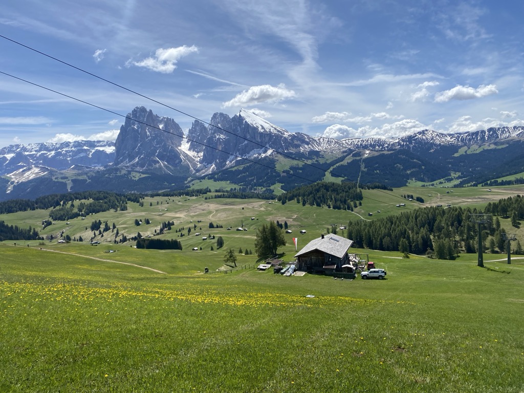
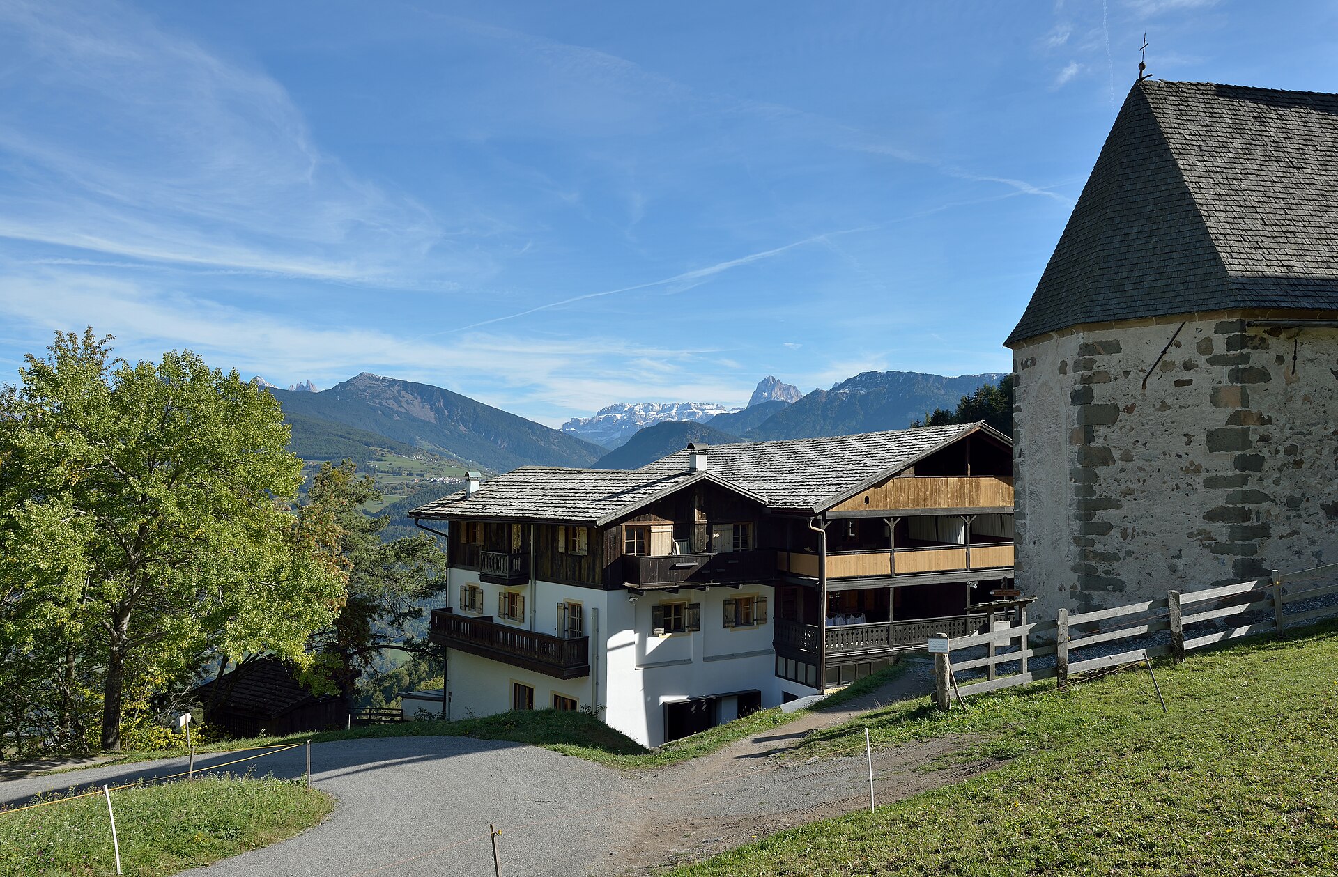
A terrace village above the Isarco below the Corno del Renon, known for its leaning church tower and the Barbiano waterfalls.
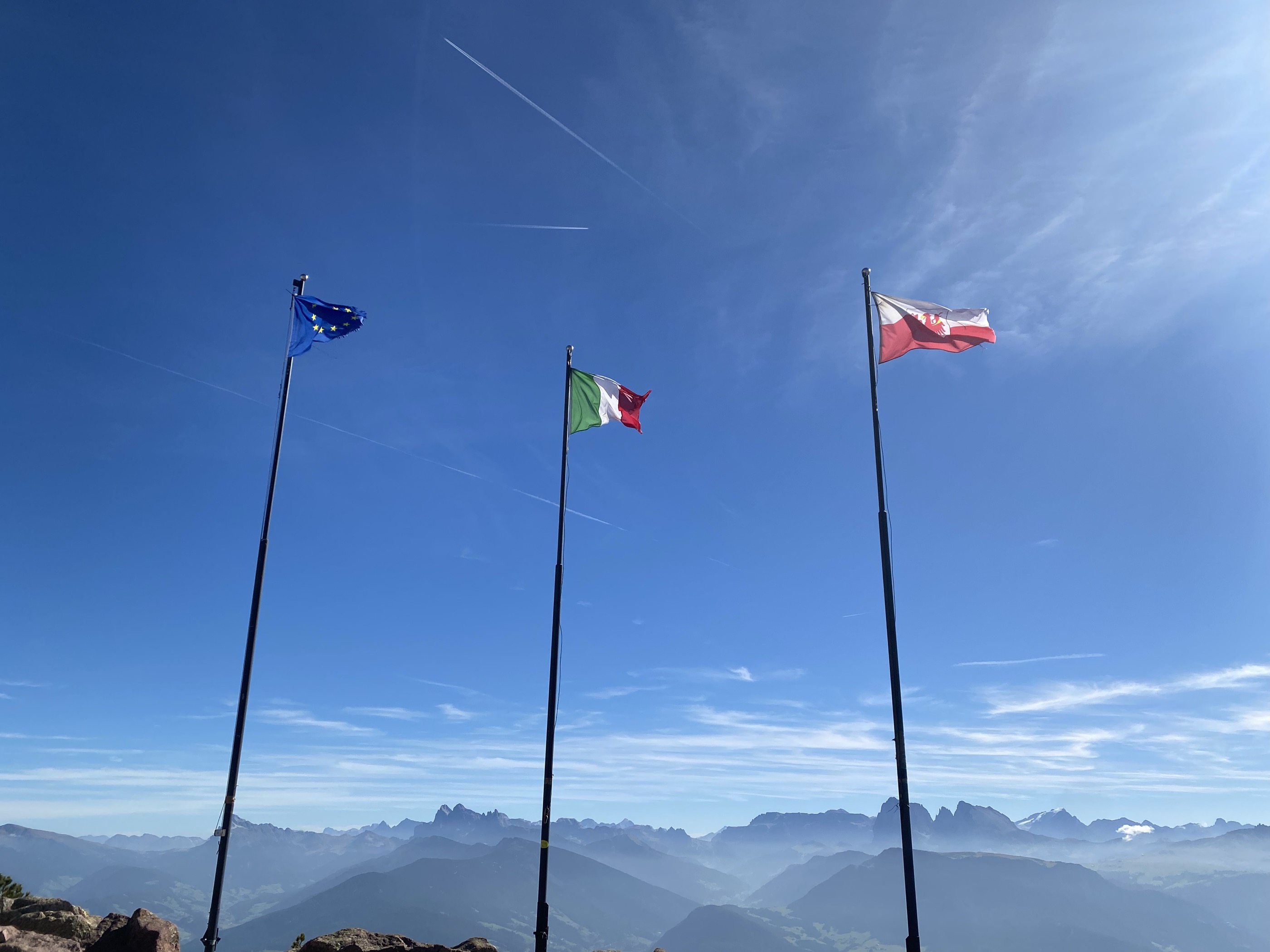
Photo: This Photo was taken by Wolfgang Moroder . Feel free to use my photos, but please mention me as the author and send me a message . This image is not in the public domain . Please respect the copyright protection. It may only be used according to the rules mentioned here. This specifically excludes use in social media , if applicable terms of the licenses listed here not appropriate. Please do not upload an updated image here without consultation with the Author. The author would like to make corrections only at his own source. This ensures that the changes are preserved. Please if you think that any changes should be required, please inform the author. Otherwise you can upload a new image with a new name. Please use one of the templates derivative or extract . · CC BY-SA 3.0 licence
- 3Highlights
- 31Routes
- Featured summit · Rittner Horn
Highlights
12 from neighbouring places
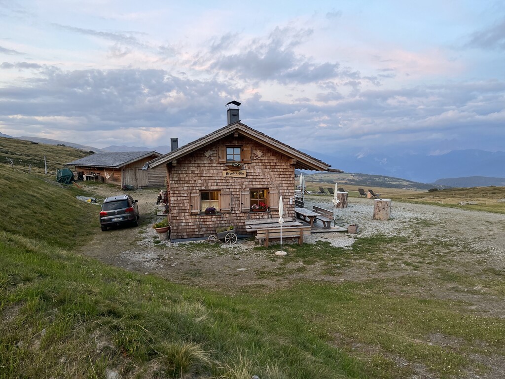
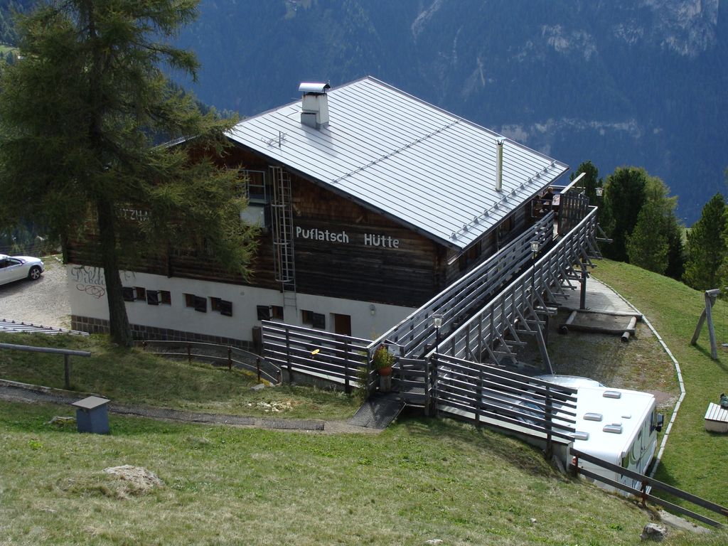
Baita Feltuner
A baita on the slopes above Barbiano, on the way up from the Val Isarco towards the Corno di Renon.
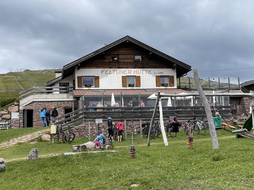
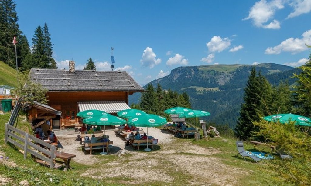
Feltuner Hütte
A hut on the pastures above Barbiano, below the long ridge of the Corno di Renon in the Alpi Sarentine.
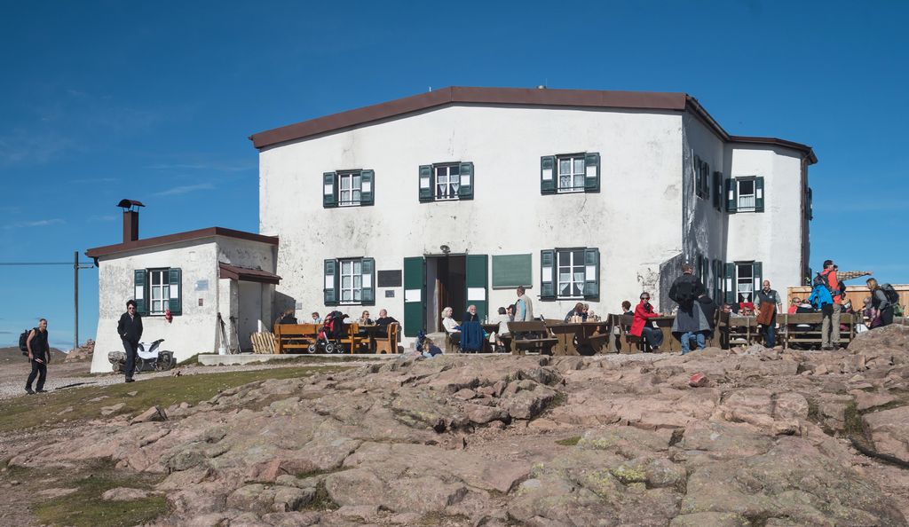
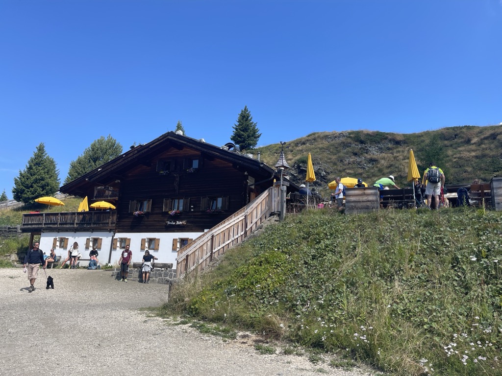
Sterzing, Pfitsch und FreienfeldSchutzhaus Rittner Horn
A refuge just below the summit of the Corno di Renon above Barbiano, reached from the Pemmern chairlift or on foot from Renon.
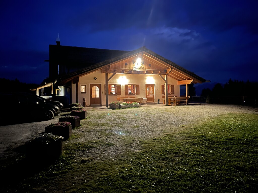
Sterzing, Pfitsch und FreienfeldGasser Hütte
3.9 km away, in Villandro/Villanders
A hut on the Alpe di Villandro above Villandro, one of the wide grazing plateaux of the Alpi Sarentine.
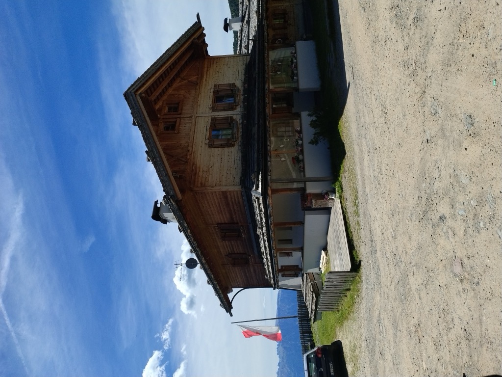
Malga Mair in Plun
4.8 km away, in Villandro/Villanders
A dairy hut on the Alpe di Villandro, on the pastures above Villandro in the Val Isarco.
Sterzing, Pfitsch und FreienfeldMalga Pfroder
7.1 km away, in Villandro/Villanders
A dairy hut on the open ground of the Alpe di Villandro above Villandro, reached by the track from the valley.
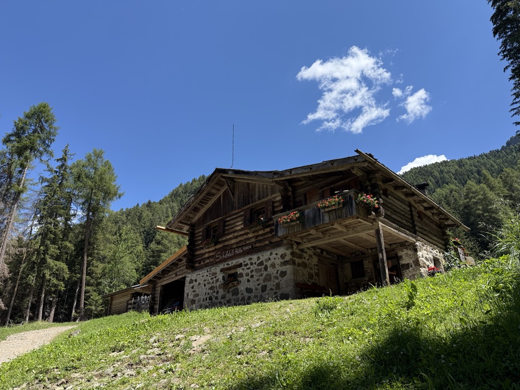
Sterzing, Pfitsch und FreienfeldMalga Schafstall
9 km away, in Castelrotto/Kastelruth
A hut at 1,500 m above Castelrotto, 15 minutes on path 9 from the Marinzen gondola top station, or on path 8 up from the village.
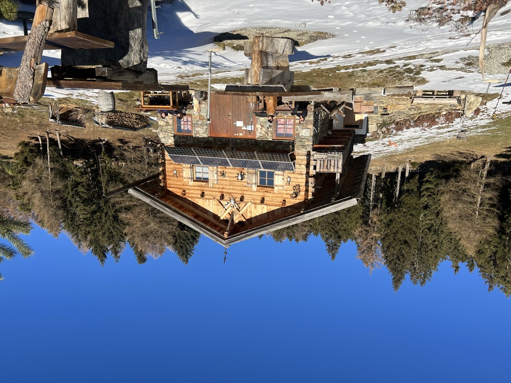
Sterzing, Pfitsch und FreienfeldUnterpulghütte
9.1 km away, in Laion/Lajen
A hut on the slopes above Laion, at the mouth of the Val Gardena in the Val Isarco.
Sterzing, Pfitsch und FreienfeldRifugio Arnika
10.3 km away, in Castelrotto/Kastelruth
A hut at 2,059 m on the Bullaccia above Castelrotto, with a sun terrace and a children's playground, and in winter a ski taxi back to the Hexe piste.
Sterzing, Pfitsch und FreienfeldRifugio Dibaita
11 km away, in Castelrotto/Kastelruth
A hut at 1,974 m on the Alpe di Siusi, 20 minutes on foot from the centre of Compaccio, looking from the Sciliar massif across to the Ortles group.
Sterzing, Pfitsch und FreienfeldMalghetta Sciliar
11.7 km away, in Castelrotto/Kastelruth
A small hut at 1,693 m on the shelf below the Sciliar, on the Castelrotto side of the massif and beside the geological trail.
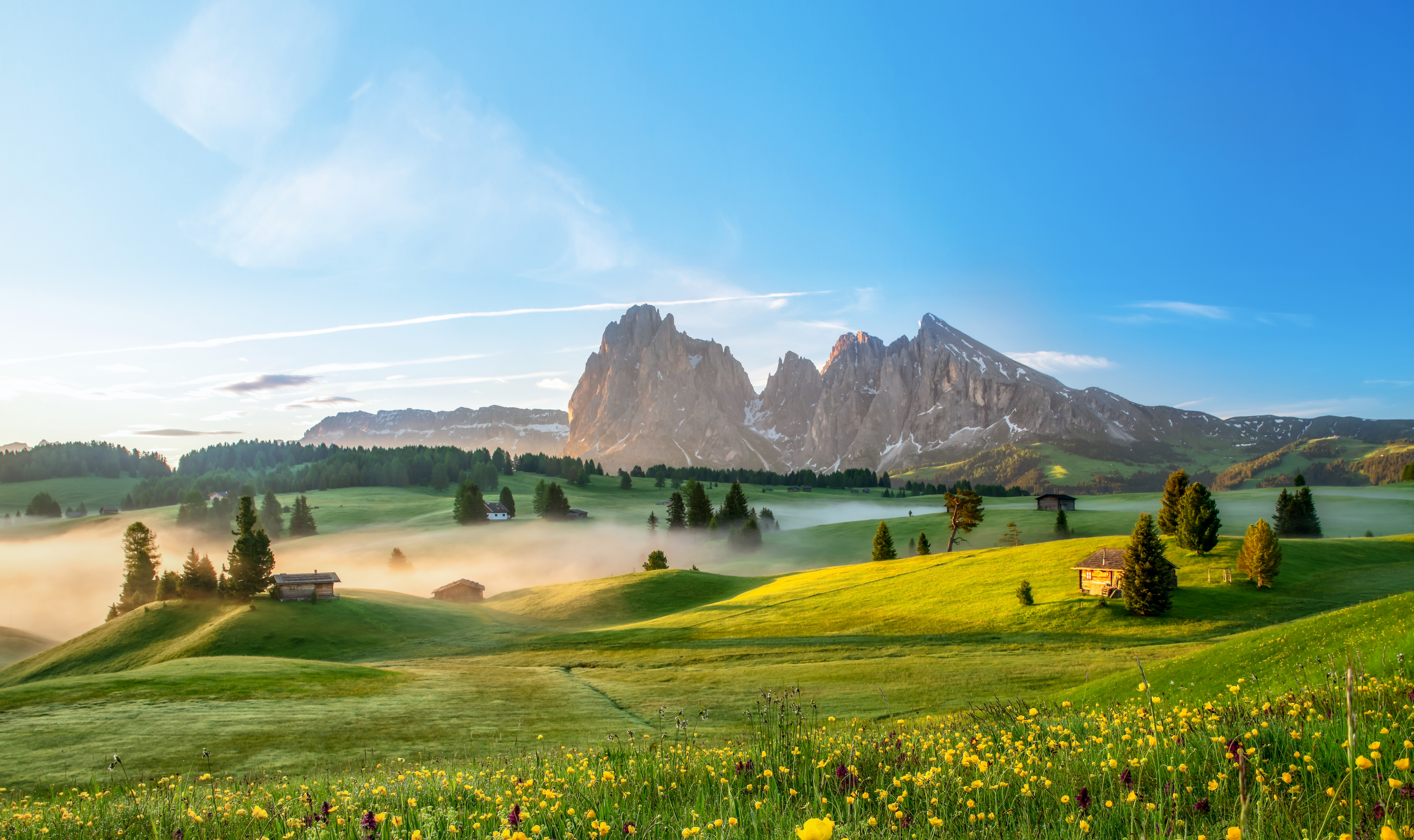
Alpe di Siusi
12.1 km away, in Castelrotto/Kastelruth
Europe's largest high alpine meadow above Castelrotto, at 1,700-2,300 m below the Sciliar.
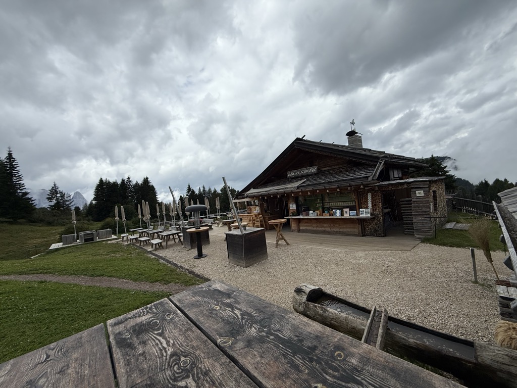
Malga Gostner Schwaige
13.2 km away, in Castelrotto/Kastelruth
A pasture hut at 1,911 m on the Alpe di Siusi above Castelrotto, on the meadows along the way from Compaccio towards Saltria.
Malga Gostner
13.3 km away, in Castelrotto/Kastelruth
A dairy hut at 1,911 m on the Alpe di Siusi making its own cheese, about 30 minutes up path 3 from Compaccio, with hay soup served in a bread crust.
Malga Contrin
13.3 km away, in Castelrotto/Kastelruth
A pasture hut at just over 2,000 m on a sunny rise of the Alpe di Siusi above Castelrotto, passed by the Alta Via delle Dolomiti n. 8.
Nothing of this kind in Barbiano/Barbian.
Routes
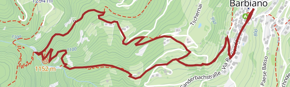
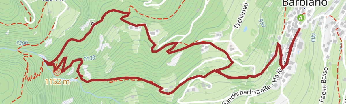
Pflaumig
A short loop through the plum orchards above Barbiano, at its best when the trees are in flower during April and May.
- 2.3 km
- Distance
- 100 m
- Ascent
- 48 min
- Duration
- 4
- Check-ins
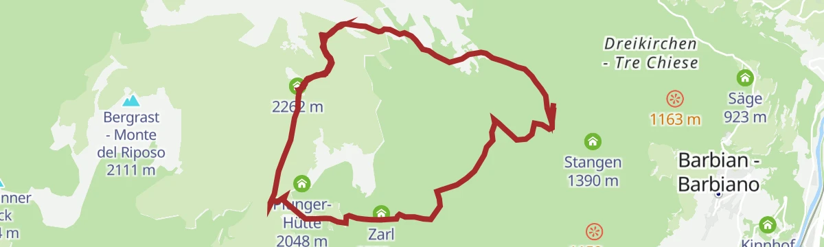
Premium panorama tour Corno del Renon
A ridge circuit from the Huber Kreuz car park over the Corno del Renon, passing the Unterhornhaus and the Feltuner hut and rounding the Schwarzseespitze.
- 13.7 km
- Distance
- 760 m
- Ascent
- 5 h 23 min
- Duration
- 160
- Check-ins
 Rittner Horn 2 261 m
- Schwarzseespitze 2 070 m
 Rittner Horn Haus - Rifugio Corno del Renon 2 261 m
- Gasthaus Schwarzseespitze 2 071 m
- Gasthaus Unterhorn 2 046 m
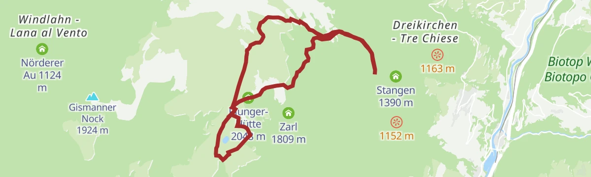
- Plunger-Hütte 2 048 m
Open route Klausen, Barbian, Villanders, FeldthurnsCieloronda
A long high-level round from the Cima Lago Nero lift station on the Renon plateau.
- 16.2 km
- Distance
- 614 m
- Ascent
- 5 h 19 min
- Duration
- 180
- Check-ins
- Rittner Horn 2 261 m
- Schwarzseespitze 2 070 m
- Bergrast - Monte del Riposo 2 111 m
- Rittner Horn Haus - Rifugio Corno del Renon 2 261 m
- Gasthaus Schwarzseespitze 2 071 m
- Gasthaus Unterhorn 2 046 m
- +4
Open route Sterzing, Pfitsch und Freienfeld457 Dalle alture pittoresche al fascino delle città medievali: Da Castelrotto a Vipiteno
An e-bike traverse dropping from Castelrotto into the Eisacktal, then following the valley north to Vipiteno largely on surfaced roads.
- 65.4 km
- Distance
- 762 m
- Ascent
- 6 h 33 min
- Duration
- 80
- Check-ins
- Paterbichl 559 m
- Klammwirt 559 m
- Tourist Information 1 069 m
- Senfter 532 m
- Fürholz 554 m
- Hilm 488 m
- +10
Open route Seis am SchlernEisacktal Valley Bike Route: Brenner - Bozen
A long, almost entirely downhill valley ride from the Brenner border to Bozen, following the Eisack river the whole way.
- 96.5 km
- Distance
- 313 m
- Ascent
- 9 h 14 min
- Duration
- 185
- Check-ins
- Paterbichl 559 m
- Mila Bistro 282 m
- Klammwirt 559 m
- Hiasele 312 m
- Agrocenter Bozen OHG 296 m
- Senfter 532 m
- +22
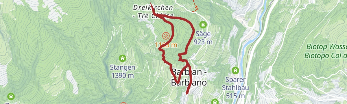
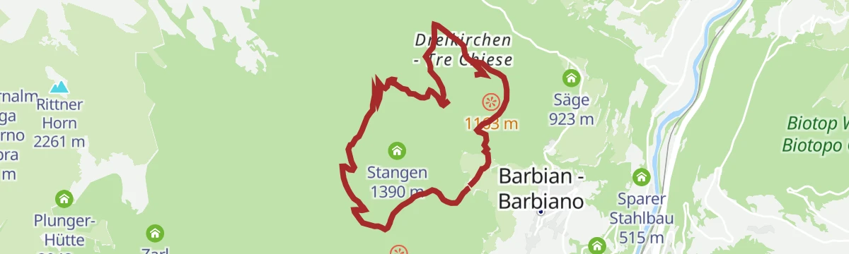
Open route Gitschberg - JochtalBarbian/Barbiano - Dreikirchen/Trechiese
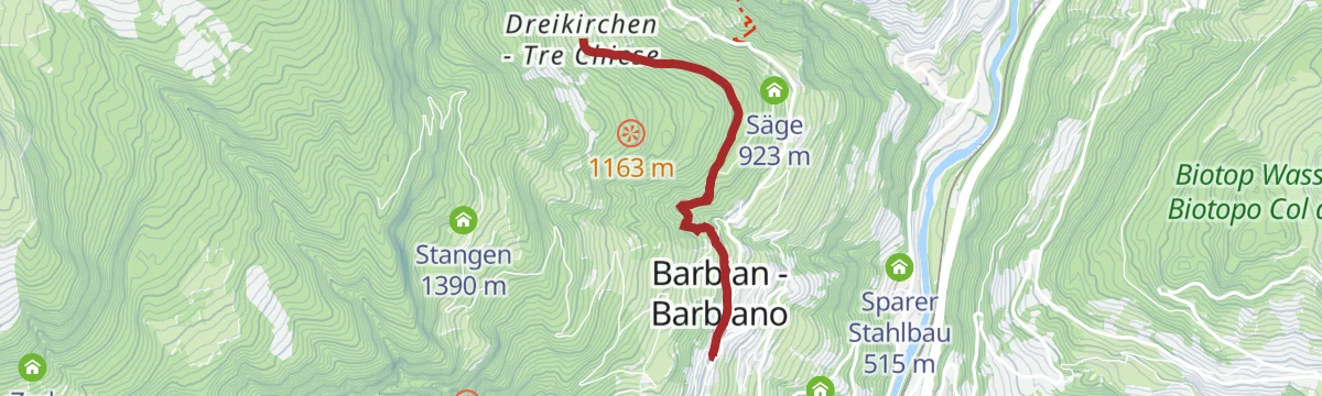
A short climb from Barbiano on old paved and stone-laid paths through woods to the three linked churches of Trechiese.
- 2.7 km
- Distance
- 285 m
- Ascent
- 1 h 12 min
- Duration
- 4
- Check-ins
Open route Klausen, Barbian, Villanders, FeldthurnsGasser Hütte- Rittner Horn
An easy climb from the Gasser hut on the Villandro alp to the Rittner Horn, one of the broadest viewpoints in South Tyrol.
- 6.4 km
- Distance
- 503 m
- Ascent
- 2 h 20 min
- Duration
- 131
- Check-ins
- Rittner Horn 2 261 m
- Rittner Horn Haus - Rifugio Corno del Renon 2 261 m
- Mair in Plun 1 860 m
- Gasser Hütte - Rifugio Gasser 1 756 m
 Gasteiger Sattel - Sella dei Sentieri 2 057 m
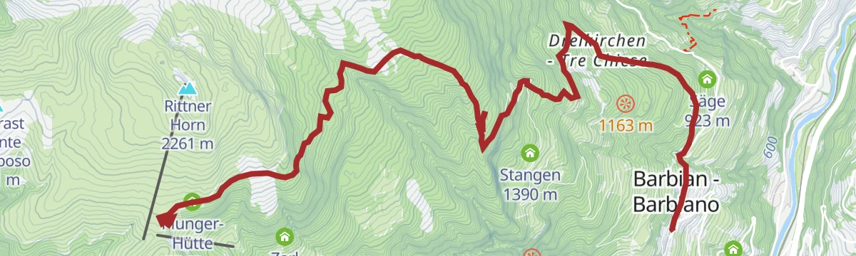
Open route Klausen, Barbian, Villanders, FeldthurnsBarbiano - Huber Kreuz - Corno di Sotto
A long climb from Barbiano by Trechiese and the Huber Kreuz to the Corno di Sotto, returning past the mountain pine distillery and old hill farms.
- 10.7 km
- Distance
- 1 221 m
- Ascent
- 5 h 8 min
- Duration
- 34
- Check-ins
- Gasthaus Unterhorn 2 046 m
- Einäugl 1 311 m
- Tourismusverein Klausen, Barbian, Feldthurns und Villanders - Associazione Turistica di Barbiano 840 m
- Plunger-Hütte 2 048 m
- Briol - Haupthaus 1 312 m
- Parkplatz Bad Dreikirchen 962 m
Open route Klausen, Barbian, Villanders, FeldthurnsCastelfeder – Bolzano – Valle Isarco
The Adige cycle path from the Bolzano basin up the Isarco valley by Chiusa toward Bressanone.
- 76.1 km
- Distance
- 617 m
- Ascent
- 7 h 12 min
- Duration
- 183
- Check-ins
- Paterbichl 559 m
- Mila Bistro 282 m
- Kampill Center 270 m
- Klammwirt 559 m
- Hiasele 312 m
- Agrocenter Bozen OHG 296 m
- +17
Open route Südtirols SüdenTour to the cascate and Dreikirchen/Trechiese
An easy round from Barbiano up to the three interlocking churches of Trechiese, back by Feistegg and the sawmill on the waterfall path.
- 5.8 km
- Distance
- 285 m
- Ascent
- 2 h 6 min
- Duration
- 4
- Check-ins
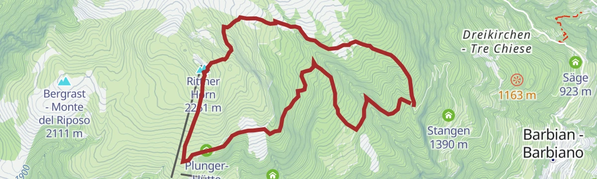
Open route Klausen, Barbian, Villanders, FeldthurnsFrom Barbian to the Rittner horn
A circuit from Barbiano up the Rittner Horn, the top that Ludwig Purtscheller said showed the whole of Tyrol at a glance.
- 10.6 km
- Distance
- 637 m
- Ascent
- 4 h 26 min
- Duration
- 107
- Check-ins
- Rittner Horn 2 261 m
- Rittner Horn Haus - Rifugio Corno del Renon 2 261 m
- Gasthaus Unterhorn 2 046 m
- Plunger-Hütte 2 048 m
Open route BrixenSaubach/San Ingenuino - Rampoldsteig/Sentiero Rampold - Heidrichsberg/Monte Heidrichsberg
A steep climb from San Ingenuino on the Koflweg and the Rampold path through forest to the Heidrichsberg, returning by Rastall and the alp road to Pian.
- 11.9 km
- Distance
- 1 111 m
- Ascent
- 6 h 55 min
- Duration
- 3
- Check-ins
- Kasserol 1 294 m
 Nixenteich 1 409 m
Open route Klausen, Barbian, Villanders, Feldthurns457 From picturesque heights to medieval town flair - from Kastelruth to Sterzing
A long valley ride from the terrace above the Eisack down to the river, then north past Paterbichl to Sterzing, mostly on paved paths.
- 65.0 km
- Distance
- 758 m
- Ascent
- 6 h 31 min
- Duration
- 76
- Check-ins
- Paterbichl 559 m
- Klammwirt 559 m
- Tourist Information 1 069 m
- Senfter 532 m
- Fürholz 554 m
- Hilm 488 m
- +9
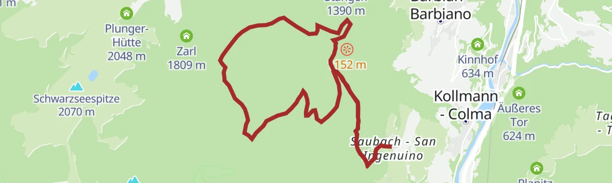
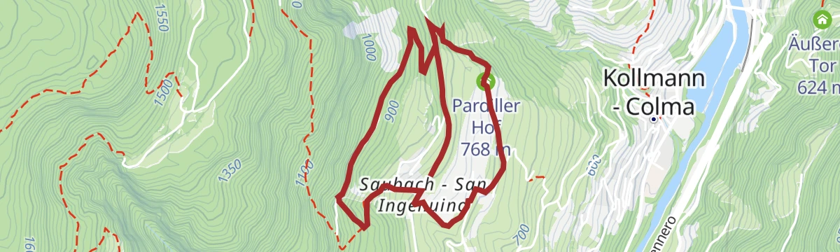
Open route SterzingLoop road "Saubacher Rundweg"
A farm loop at San Ingenuino above Barbiano, passing the Pardiller and Unterfaller holdings and returning on the Koflweg behind the Saubacherhof.
- 4.7 km
- Distance
- 227 m
- Ascent
- 1 h 40 min
- Duration
Open route Klausen, Barbian, Villanders, FeldthurnsRound of the Rittner Horn
A round from the Huber Kreuz car park over the upper and lower tops of the Rittner Horn, with a choice of return by Pennleger or the pine distillery.
- 13.5 km
- Distance
- 887 m
- Ascent
- 6 h
- Duration
- 107
- Check-ins
- Rittner Horn 2 261 m
- Rittner Horn Haus - Rifugio Corno del Renon 2 261 m
- Gasthaus Unterhorn 2 046 m
- Plunger-Hütte 2 048 m
Open route Klausen, Barbian, Villanders, FeldthurnsHuber Kreuz-Corno di Renon-Corno di Sotto
A circuit from the Huber Kreuz over the Corno di Renon and the Corno di Sotto, passing the mountain pine distillery and the Platzer alm.
- 12.9 km
- Distance
- 872 m
- Ascent
- 5 h 52 min
- Duration
- 105
- Check-ins
- Rittner Horn 2 261 m
- Rittner Horn Haus - Rifugio Corno del Renon 2 261 m
- Gasthaus Unterhorn 2 046 m
- Zarl 1 809 m
Open route Klausen, Barbian, Villanders, FeldthurnsTörggelen excursion Barbian/o
An autumn Törggelen round between Barbiano, Ponte Gardena and Colma, linking the farm inns that serve new wine and roast chestnuts.
- 7.5 km
- Distance
- 468 m
- Ascent
- 3 h 12 min
- Duration
- 19
- Check-ins
- Hilm 488 m
- Kinnhof 634 m
- Gostnerhof 625 m
- Tourismusverein Klausen, Barbian, Feldthurns und Villanders - Associazione Turistica di Barbiano 840 m
Open route Klausen, Barbian, Villanders, FeldthurnsMystisch
A walk up to the three churches built one into the other in the hamlet just above Barbiano, on a wooded shoulder over the valley.
- 8.8 km
- Distance
- 563 m
- Ascent
- 3 h 50 min
- Duration
- 16
- Check-ins
Barbian-Barbian Waterfalls-Briol-Bad Dreikirchen-Barbian
A circuit from Barbiano past its waterfalls to the Briol inn and the three churches at Bad Dreikirchen, as much local history as landscape.
- 9.0 km
- Distance
- 557 m
- Ascent
- 3 h 49 min
- Duration
- 16
- Check-ins
- Einäugl 1 311 m
- Tourismusverein Klausen, Barbian, Feldthurns und Villanders - Associazione Turistica di Barbiano 840 m
- Baumhaus Isidor 1 314 m
- Kasserol 1 294 m
- Stangen 1 390 m
- Briol - Haupthaus 1 312 m
Open route AVS Sektion Sand in TaufersBarbian/Barbiano- waterfall- Dreikirchen/Trechiese
A climb from the church square in Barbiano along the waterfall path to the lower fall and on to the churches of Trechiese above the village.
- 9.6 km
- Distance
- 608 m
- Ascent
- 4 h 9 min
- Duration
- 16
- Check-ins
- Einäugl 1 311 m
- Tourismusverein Klausen, Barbian, Feldthurns und Villanders - Associazione Turistica di Barbiano 840 m
- Baumhaus Isidor 1 314 m
- Kasserol 1 294 m
- Stangen 1 390 m
- Briol - Haupthaus 1 312 m
- +1
Open route Klausen, Barbian, Villanders, FeldthurnsTour 2 to the cascate and Trechiese/Dreikirchen
A round from Barbiano over both waterfalls and the Katzenleiter rock steps to Briol and Trechiese, back by the Schlernbank and Feistegg.
- 8.8 km
- Distance
- 574 m
- Ascent
- 3 h 53 min
- Duration
- 16
- Check-ins
- Einäugl 1 311 m
- Tourismusverein Klausen, Barbian, Feldthurns und Villanders - Associazione Turistica di Barbiano 840 m
- Baumhaus Isidor 1 314 m
- Kasserol 1 294 m
- Stangen 1 390 m
- Briol - Haupthaus 1 312 m
Open route Klausen, Barbian, Villanders, FeldthurnsVillanders - Bad Dreikrichen - Briol - Barbian Wasserfall - Barbian
A traverse from Villandro to the chapels of Bad Dreikirchen and the Briol inn, then down past the Barbiano waterfall to the village.
- 9.3 km
- Distance
- 569 m
- Ascent
- 4 h
- Duration
- 16
- Check-ins
- Einäugl 1 311 m
- Tourismusverein Klausen, Barbian, Feldthurns und Villanders - Associazione Turistica di Barbiano 840 m
- Baumhaus Isidor 1 314 m
- Kasserol 1 294 m
- Stangen 1 390 m
- Briol - Haupthaus 1 312 m
Open route Klausen, Barbian, Villanders, FeldthurnsWaterfalls of Barbiano/Barbian - Briol and Trechiese/Dreikirchen
A loop from the centre of Barbiano to the lower and upper falls, then on to the Briol inn and the churches of Tre Chiese before the village road home.
- 8.9 km
- Distance
- 636 m
- Ascent
- 4 h 12 min
- Duration
- 16
- Check-ins
- Einäugl 1 311 m
- Tourismusverein Klausen, Barbian, Feldthurns und Villanders - Associazione Turistica di Barbiano 840 m
- Baumhaus Isidor 1 314 m
- Kasserol 1 294 m
- Stangen 1 390 m
- Briol - Haupthaus 1 312 m
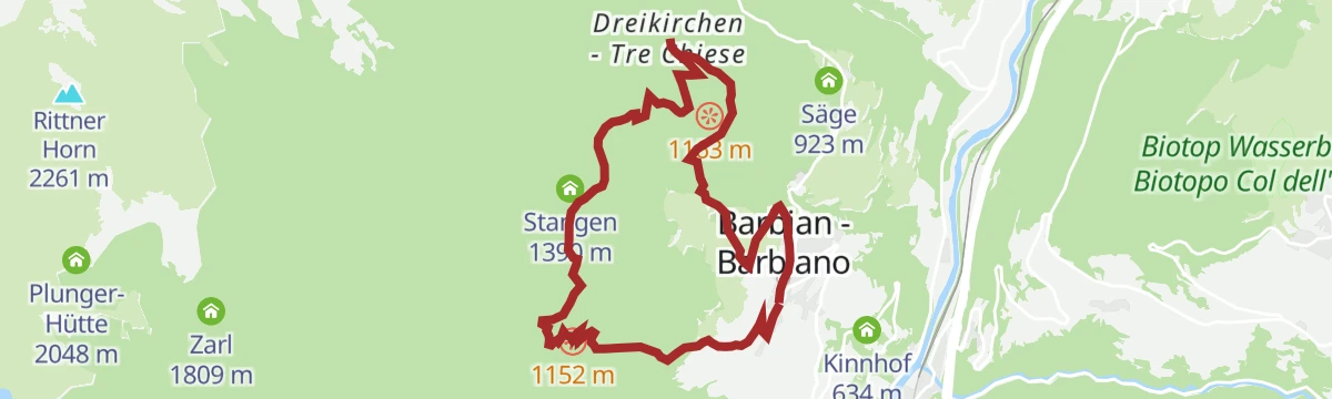
Open route Klausen, Barbian, Villanders, FeldthurnsRound of the Kaserklopf in Barbiano/Barbian
A loop around the Kaserklopf above Barbiano, by the Nixen pond and the Briol inn to Trechiese, with a return through Feistegg.
- 8.1 km
- Distance
- 625 m
- Ascent
- 4 h 4 min
- Duration
- 9
- Check-ins
- Einäugl 1 311 m
- Kasserol 1 294 m
- Nixenteich 1 409 m
- Briol - Haupthaus 1 312 m
Open route Klausen, Barbian, Villanders, FeldthurnsKofelweg Saubach/Barbian
A steep link between San Ingenuino and Barbiano on the Koflweg, passing the rock steps of the Katzenleiter and Kasserol.
- 6.0 km
- Distance
- 591 m
- Ascent
- 3 h 34 min
- Duration
- 6
- Check-ins
- Tourismusverein Klausen, Barbian, Feldthurns und Villanders - Associazione Turistica di Barbiano 840 m
- Kasserol 1 294 m
Open route Klausen, Barbian, Villanders, FeldthurnsBarbian/Barbiano-San Maurizio/Sauders ( Villanders/Villandro)- Farm winterle- Barbian/Barbiano
A stretch of the Keschtnweg chestnut route from Barbiano to Sauders in Villandro, with a sharp drop at the start and a return by the Winterle farm.
- 11.3 km
- Distance
- 558 m
- Ascent
- 4 h 6 min
- Duration
- 4
- Check-ins
- Tourismusverein Klausen, Barbian, Feldthurns und Villanders - Associazione Turistica di Barbiano 840 m
- Parkplatz Bad Dreikirchen 962 m
- Säge 923 m
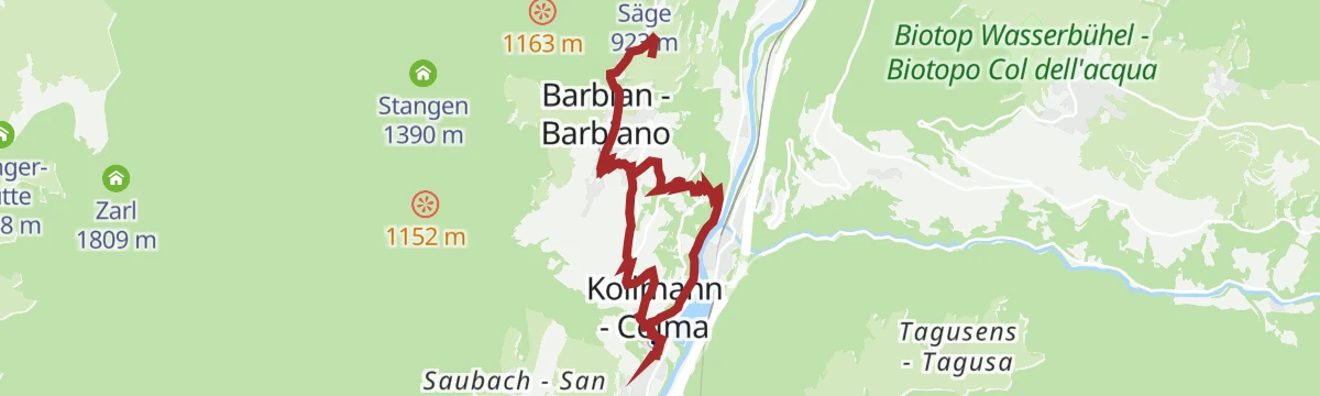
Open route Klausen, Barbian, Villanders, FeldthurnsBarbiano/Barbian -S. Ingenuino/Saubach -Colma-Barbiano/Barbian
A round from Barbiano by San Ingenuino and the Pennhof, taking an old path down to Colma and coming back past the Heilig Kreuz chapel.
- 7.8 km
- Distance
- 355 m
- Ascent
- 2 h 44 min
- Duration
- 4
- Check-ins
Open route Klausen, Barbian, Villanders, FeldthurnsFrom Barbian to the Barbian Waterfalls
A steep walk from Barbiano up the wooded gorge of the Ganderbach to the village waterfalls above the last houses.
- 5.0 km
- Distance
- 369 m
- Ascent
- 2 h 25 min
- Duration
- 4
- Check-ins
Open route Valle Isarco - EisacktalTo the barbian waterfalls
A narrow, partly secured path from Barbiano to the falls where the Ganderbach drops from the high moors of the Barbianer Alm.
- 4.8 km
- Distance
- 374 m
- Ascent
- 2 h 25 min
- Duration
- 4
- Check-ins
Open route BrixenTörggele Hike Kollmann - Saubach - Barbian
An autumn walk up from Colma through San Ingenuino to Barbiano, calling at the farm inns that pour new wine and roast chestnuts.
- 11.0 km
- Distance
- 472 m
- Ascent
- 3 h 44 min
- Duration
- 4
- Check-ins
Open route Klausen, Barbian, Villanders, FeldthurnsWaterfall of Barbian/Barbiano
A climb on the waterfall path from the last houses of Barbiano to the lower and then the upper fall; firm footwear is needed higher up.
- 4.7 km
- Distance
- 354 m
- Ascent
- 2 h 18 min
- Duration
- 4
- Check-ins
Open route Klausen, Barbian, Villanders, Feldthurns
No routes of this kind in Barbiano/Barbian yet.
The region's own picks
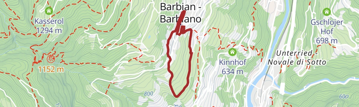
Featured route
Pflaumig
A short loop through the plum orchards above Barbiano, at its best when the trees are in flower during April and May.
Planning a trip to Barbiano/Barbian?
Everything else Trentino-Alto Adige/Südtirol has, in one place


Take Barbiano/Barbian with you into the mountains
Every route on this page with 3D terrain, GPX navigation and offline maps — including the valleys with no signal.
Data sources
- Official website: klausen.it ↗
- Routes and highlights: Klausen, Barbian, Villanders, Feldthurns, Sterzing, Pfitsch und Freienfeld, YesAlps, Klausen, Barbian, Feldthurns & Villanders, Brixen, Italia.it, Seis am Schlern, Gitschberg - Jochtal, Südtirols Süden, Sterzing, AVS Sektion Sand in Taufers, Valle Isarco - Eisacktal
- Published as open data by the tourist boards named above.
- Region summary generated from the board's own material.
