
Curated by Val Seriana
Azzone
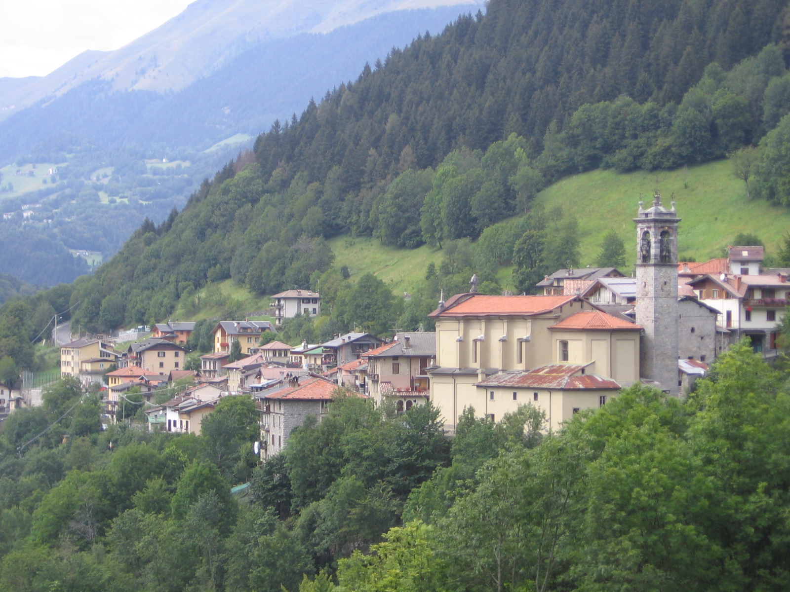
Valle di Scalve village on the Dezzo torrent, below the Presolana and the Pizzo Camino.
Photo: Ago76 · CC BY-SA 3.0 licence
- 15Highlights
- 5Routes
- Featured summit · Il Costone
Highlights
All 15 from neighbouring places
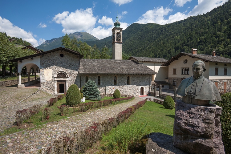
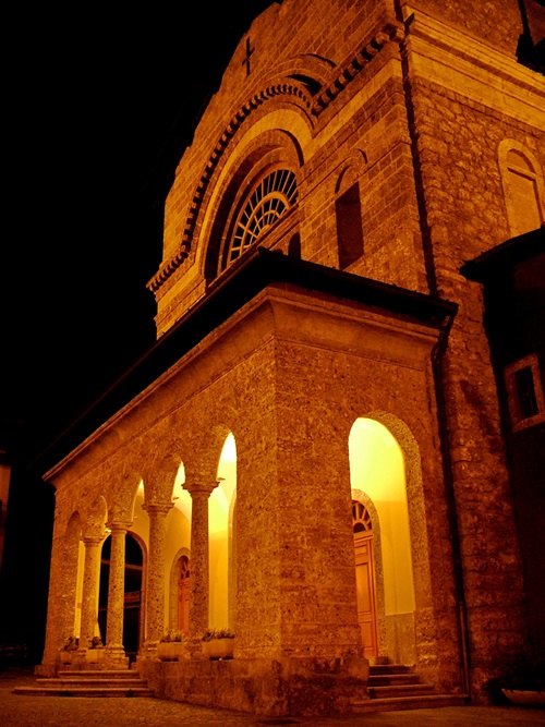
Santuario della Madonnina di Colere
2.7 km away, in Colere
A seventeenth-century sanctuary at Dezzo di Scalve below Colere, built over an earlier shrine.
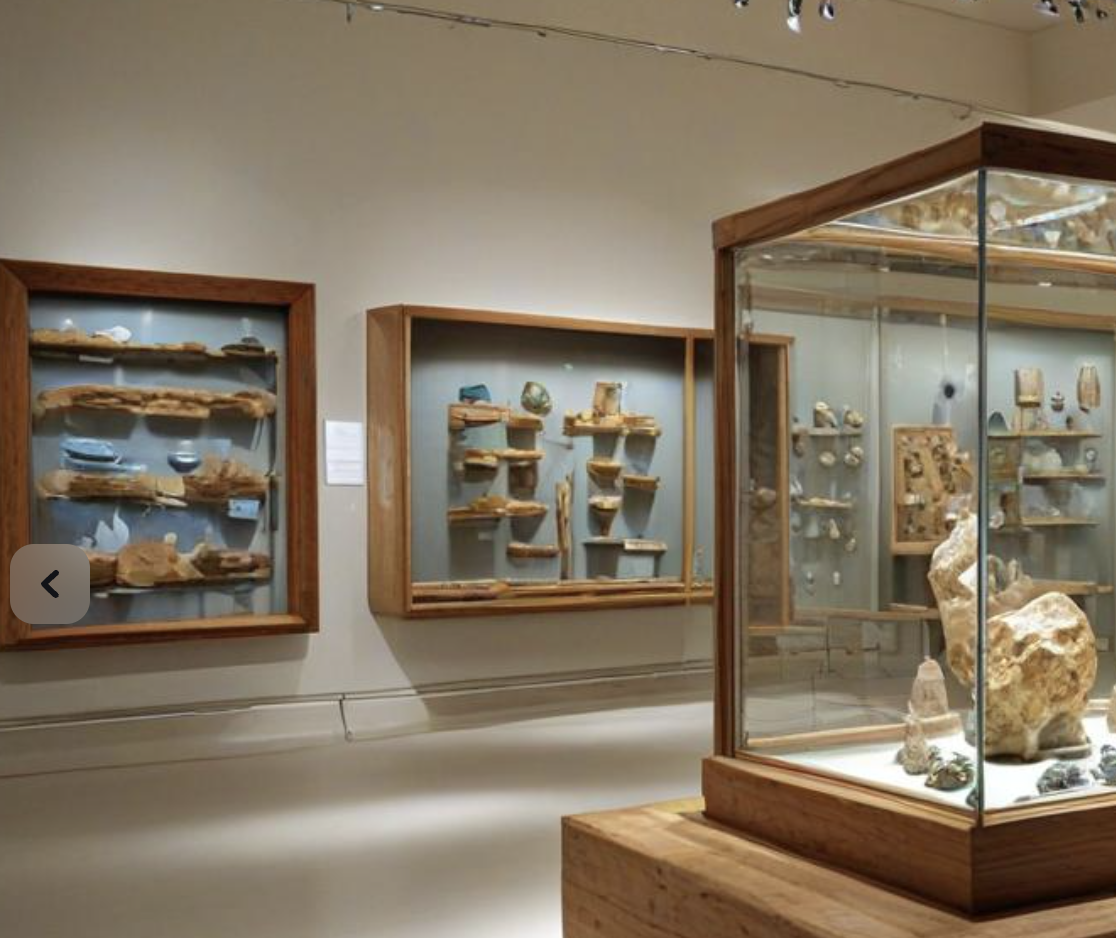
MUSEO DEI MINERALI E FOSSILI
4.1 km away, in Schilpario
A museum of minerals and fossils at Schilpario, drawn from the iron workings of the Val di Scalve.
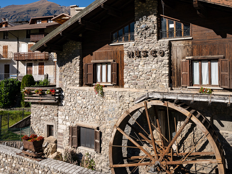
Museo Etnografico
5.2 km away, in Schilpario
The ethnographic museum of Schilpario, on the working life of the Val di Scalve.
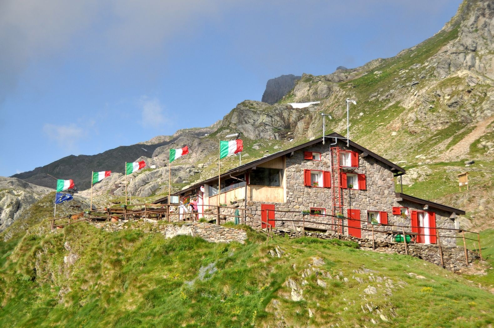
Rifugio Tagliaferri
5.3 km away, in Schilpario
A hut below the Pizzo Camino above Schilpario, in the upper Val di Scalve.
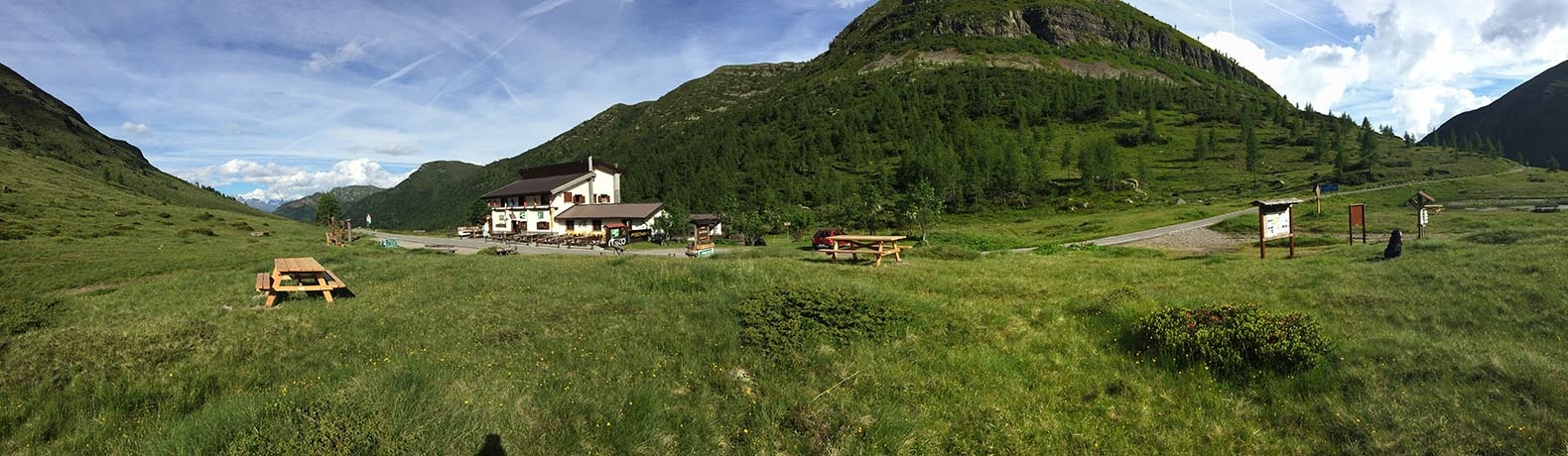
Rifugio Albani
5.8 km away, in Colere
A hut at 1,939 m below the north wall of the Presolana, the base for its hardest climbing routes.
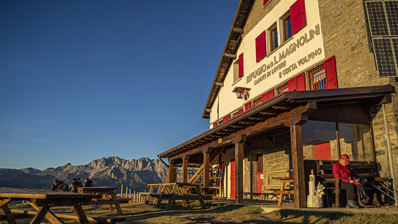
Rifugio Magnolini
9.2 km away, in Angolo Terme
A hut at 1,612 m on the Presolana slopes above Angolo Terme, walked up from Bossico, Costa Volpino or Rogno and linked with Monte Alto.
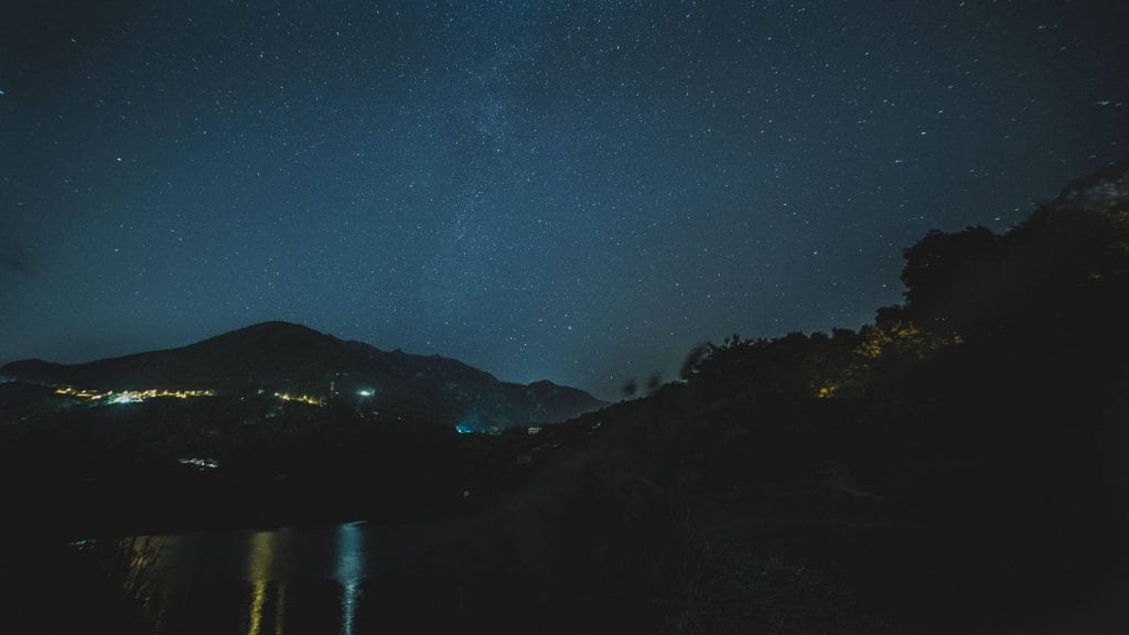
Capo di Lago
9.7 km away, in Angolo Terme
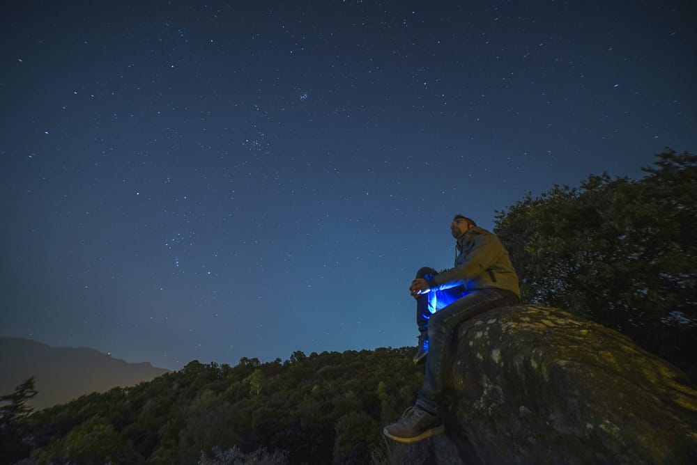
A certified dark-sky observing site at Lago Moro, between Angolo Terme and Darfo Boario Terme in the Val Camonica.
Rifugio Passo del Vivione
9.7 km away, in Schilpario
A hut at the Passo del Vivione, the high road pass between the Val di Scalve and the Val Camonica.
Il Santuario di Lantana
7.4 km away, in Castione della Presolana
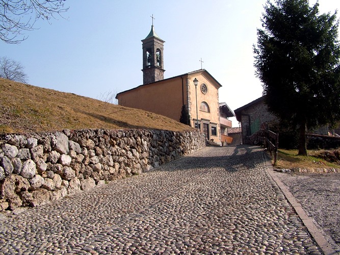
A pilgrimage church at Lantana above Castione della Presolana, kept for the miracles credited to the Virgin there.
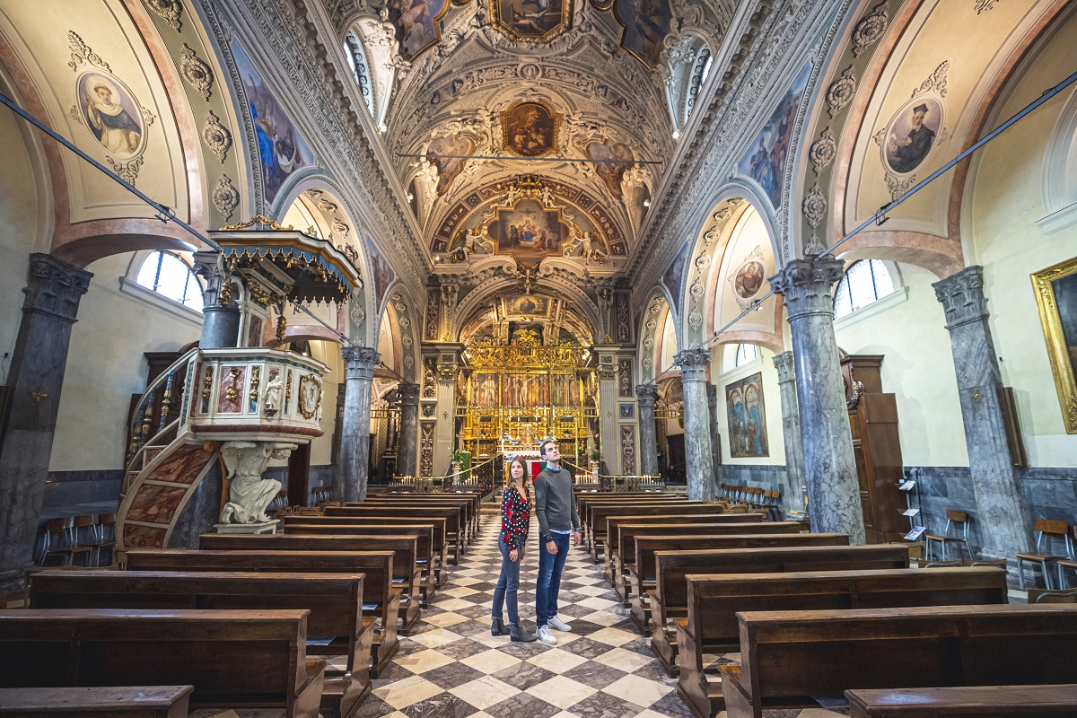
Chiesa parrocchiale della Natività di Maria Vergine a Bratto
7.6 km away, in Castione della Presolana
The parish church of the Nativity of Mary at Castione della Presolana.
Rifugio del Risol
7.7 km away, in Castione della Presolana
A hut on the Risol pastures above Castione della Presolana, below the Presolana's south face.
Vini di carattere arrampicati in Valle Camonica
8.5 km away, in Piancogno
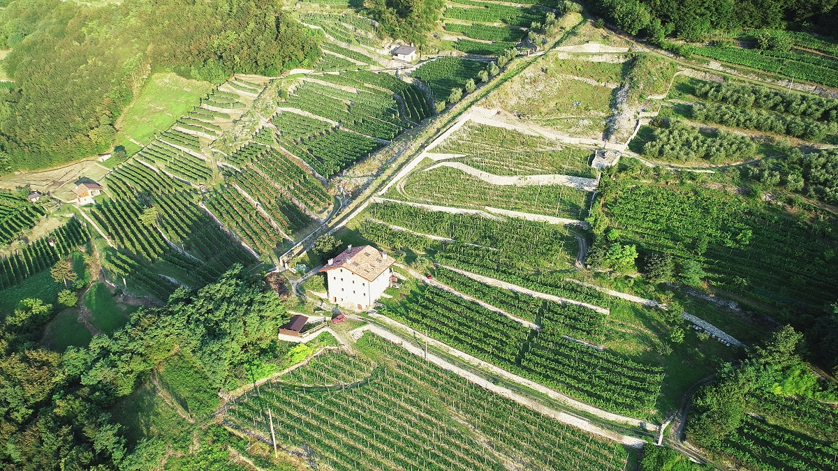
Terraced vineyards climbing the slopes of the middle Camonica valley at Piancogno, below the Annunciata monastery above Piamborno.
Rusio e la chiesa di San Giacomo
9.1 km away, in Castione della Presolana
The hamlet of Rusio above Castione della Presolana, with its church of San Giacomo.
Boario und die thermen
9.3 km away, in Darfo Boario Terme
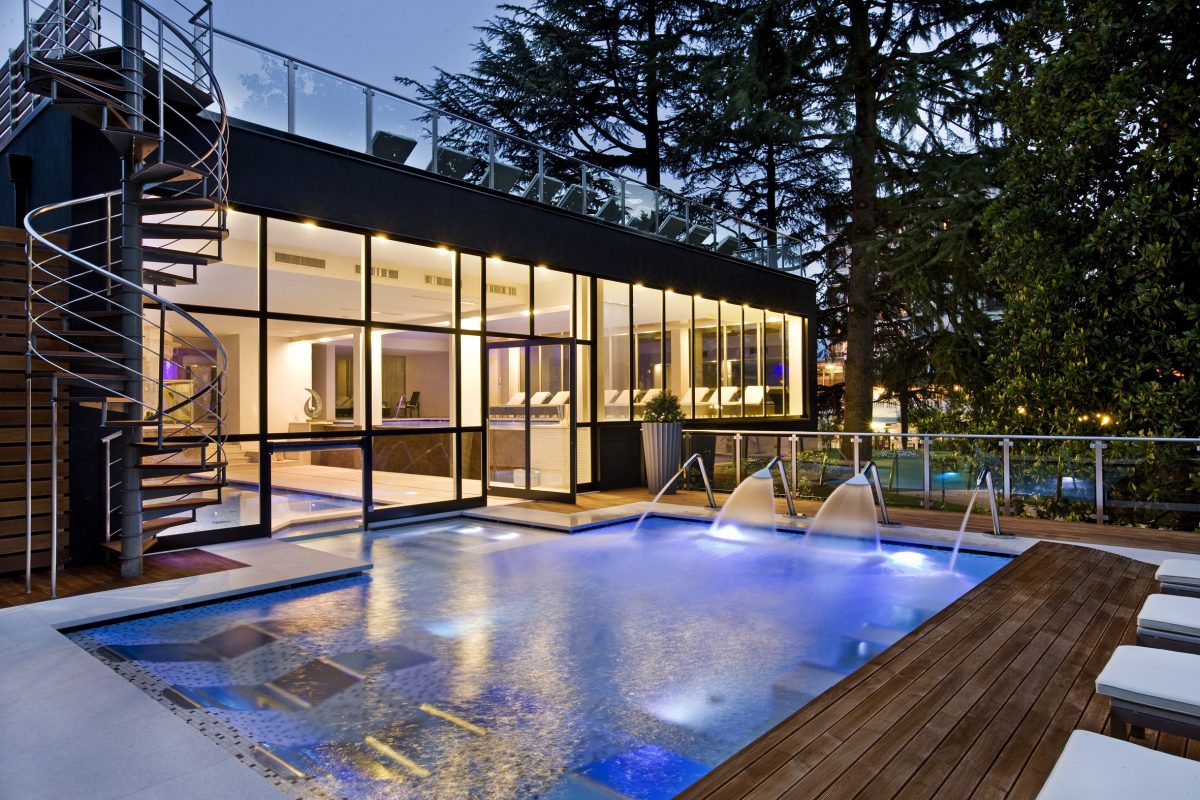
The Boario spa in the lower Camonica valley, its four springs set in a wooded park.
Stargazing a Darfo Boario Terme, nel piccolo borgo Capo di Lago
9.7 km away, in Darfo Boario Terme
Night-sky watching from Capo di Lago above Darfo, on the rim of the Lago Moro basin.
 Mountain hut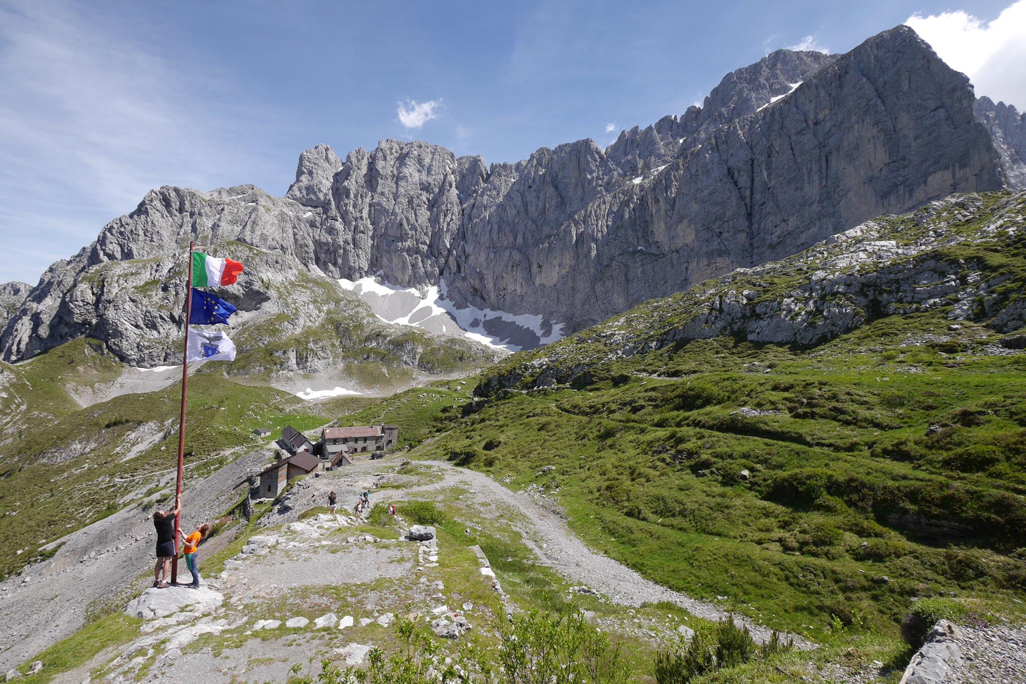
 Historic site
Nothing of this kind in Azzone.
Routes
15 from neighbouring places
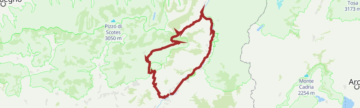
Riserva Naturale Boschi del Giovetto
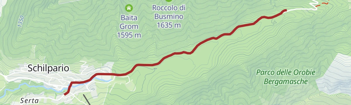
A long walk through the Boschi del Giovetto reserve above Schilpario, protected ground set aside for the red wood ant that nests in its spruce litter.
- 18.0 km
- Distance
- 1 318 m
- Ascent
- 8 h 36 min
- Duration
- 20
- Check-ins
Al Passo del Vivione in Gravel
A gravel loop in the Valle Camonica, starting on the Ciclovia dell'Oglio before the long climb to the refuge at 1,828 m.
- 103.0 km
- Distance
- 2 196 m
- Ascent
- 11 h 12 min
- Duration
- 128
- Check-ins
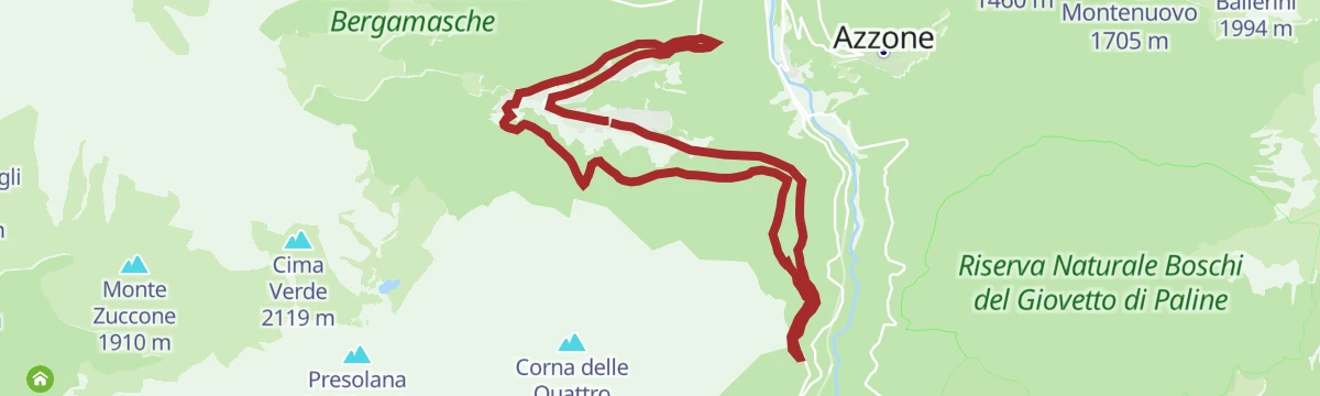
Trekking da Azzone alla Corna Busa
A long climb from the small village of Azzone in the Val di Scalve, through sunlit pastures, to the Corna Busa pass.
- 13.1 km
- Distance
- 971 m
- Ascent
- 6 h 24 min
- Duration
- 16
- Check-ins
Riserva del Giovetto in e-bike
An e-bike climb out of Borno through the protected woods of Paline to the Croce di Salven and on up to the Rifugio San Fermo.
- 29.9 km
- Distance
- 1 857 m
- Ascent
- 4 h 50 min
- Duration
- 107
- Check-ins
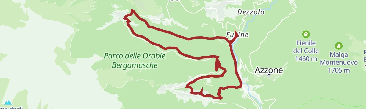
Malga di Epolo in e-bike
A long climb through the Val di Scalve, following the Sentiero Lungo to the summer pastures at 1,550 m opposite the Pizzo Camino.
- 27.9 km
- Distance
- 1 418 m
- Ascent
- 3 h 56 min
- Duration
- 63
- Check-ins
Colere e le sue frazioni in MTB
3.8 km away, in Colere
A quiet ride through the hamlets of Colere in the green Val di Scalve, climbing past the ski-area base at Carbonera.
- 13.1 km
- Distance
- 700 m
- Ascent
- 1 h 55 min
- Duration
- 41
- Check-ins
Da Colere a Teveno in MTB
3.8 km away, in Vilminore di Scalve
A hill ride linking two upper Val di Scalve villages above Vilminore in the Bergamo Alps, with a long and steady gain in height.
- 15.0 km
- Distance
- 725 m
- Ascent
- 2 h 2 min
- Duration
Da Colere alla Malga Polzone
4.8 km away, in Colere
A short ski-touring line from Colere up to Malga Polzone, laid out for beginners and keeping clear of the pisted runs.
- 2.3 km
- Distance
- 482 m
- Ascent
- 0 m
- Descent
- 1 h 19 min
- Duration
- 80
- Check-ins
L'anello del Monte Lantana
4.8 km away, in Colere
A circuit of Monte Lantana above Colere in the Val di Scalve, on pasture and wooded slopes across from the Presolana.
- 12.3 km
- Distance
- 990 m
- Ascent
- 6 h 22 min
- Duration
- 48
- Check-ins
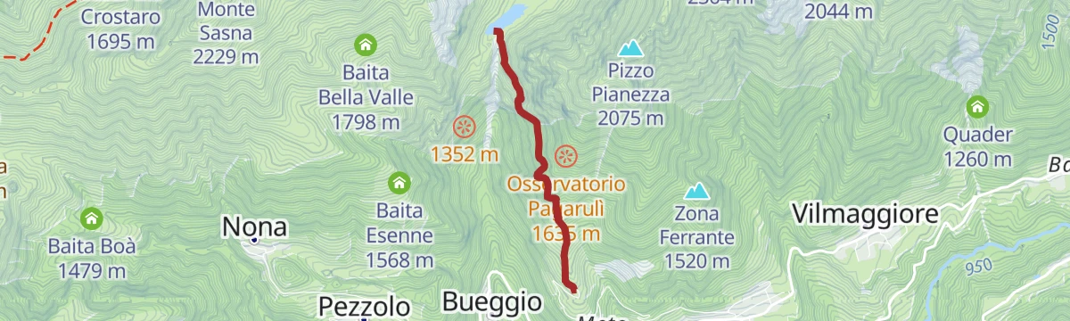
Trekking alla Diga del Gleno
5.3 km away, in Vilminore di Scalve
A short climb in the Val di Scalve to the ruins of the Gleno dam, which collapsed in 1923 and flooded the valley below.
- 2.2 km
- Distance
- 366 m
- Ascent
- 1 h 35 min
- Duration
- 38
- Check-ins
Da Colere al Rifugio Albani
3.8 km away, in Colere
A steep climb from Colere to the Albani hut under the north wall of the Presolana in the Val di Scalve.
- 4.3 km
- Distance
- 909 m
- Ascent
- 3 h 20 min
- Duration
- 99
- Check-ins
Da Vilminore al passo della Manina in MTB
4.4 km away, in Vilminore di Scalve
A long climb from the valley floor at 1,015 m to the pass at the head of the valley, past the two Barbarossa malghe and Baita Case Rosse.
- 18.5 km
- Distance
- 1 232 m
- Ascent
- 3 h 9 min
- Duration
- 35
- Check-ins
L'anello della diga del Gleno
5.4 km away, in Vilminore di Scalve
A loop from Pianezza, a high hamlet of Vilminore in the Val di Scalve, up to the broken wall of the Gleno dam, which burst in 1923.
- 6.2 km
- Distance
- 562 m
- Ascent
- 3 h 33 min
- Duration
- 38
- Check-ins
Miniera Gaffione (BG) e dintorni di Schilpario
7.9 km away, in Schilpario
A walk around Schilpario starting with a mine train into the Gaffione workings.
- 3.8 km
- Distance
- 29 m
- Ascent
- 1 h 5 min
- Duration
- 10
- Check-ins
Alla scoperta del Pizzo Tornello
4.6 km away, in Vilminore di Scalve
A hard ascent of Pizzo Tornello in the Val di Scalve, the most isolated of the Bergamo valleys, running up from the flanks of the Presolana.
- 4.8 km
- Distance
- 1 533 m
- Ascent
- 5 h 21 min
- Duration
- 9
- Check-ins
Barzesto, Vilminore di Scalve e frazioni in MTB
4.7 km away, in Vilminore di Scalve
A climbing loop through the hamlets of the Val di Scalve between Schilpario and the main village, topping out at Comen at 1,319 m.
- 17.7 km
- Distance
- 996 m
- Ascent
- 2 h 40 min
- Duration
- 26
- Check-ins
In Val Campelli al Rifugio Campione
5.5 km away, in Schilpario
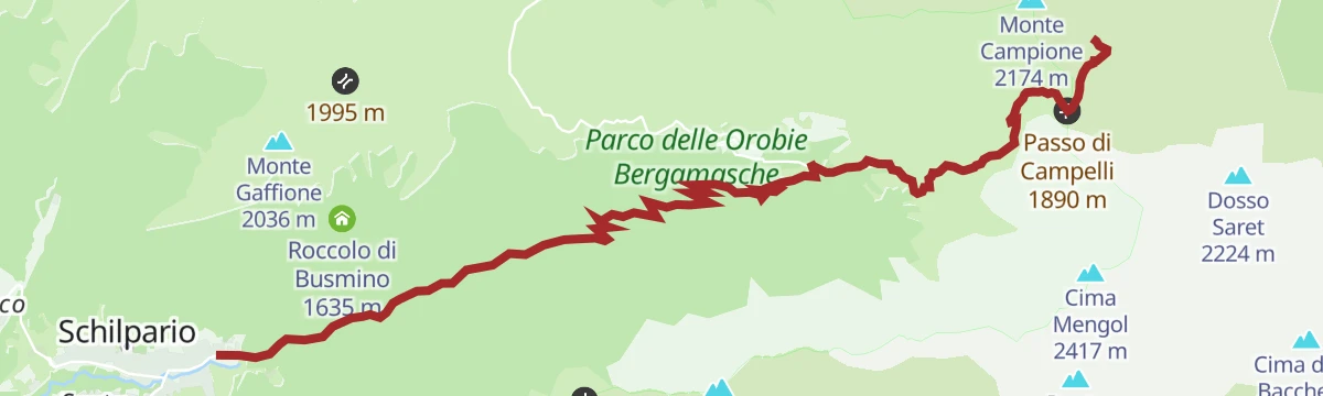
A climb through the Val Campelli above Schilpario to the Campione hut, at the head of the Scalve valley.
- 10.9 km
- Distance
- 795 m
- Ascent
- 3 h 48 min
- Duration
- 181
- Check-ins
Rifugio Carlo Medici vista Presolana
4.9 km away, in Castione della Presolana
A short climb from the Presolana pass, between Val Seriana and Val di Scalve, up to the Carlo Medici hut facing the south wall.
- 2.3 km
- Distance
- 272 m
- Ascent
- 1 h 7 min
- Duration
- 113
- Check-ins
Presolana: il Sentiero della Porta
4.6 km away, in Colere
An approach from Colere by the forest road to Malga Polzone, then the cabled Porta path onto the Presolana ridge and Monte Visolo.
- 11.8 km
- Distance
- 1 621 m
- Ascent
- 9 h 1 min
- Duration
- 163
- Check-ins
Da Schilpario al Passo Vivione in MTB
5 km away, in Schilpario
A long, steady climb from Schilpario to the Passo del Vivione at 1,828 m, with Rifugio Cimon della Bagozza and Malga Gaffione en route.
- 21.2 km
- Distance
- 1 205 m
- Ascent
- 3 h 13 min
- Duration
- 123
- Check-ins










No routes of this kind in Azzone yet.
The region's own picks

Featured route
Riserva Naturale Boschi del Giovetto
A long walk through the Boschi del Giovetto reserve above Schilpario, protected ground set aside for the red wood ant that nests in its spruce litter.
Planning a trip to Azzone?
Everything else Lombardy has, in one place


Take Azzone with you into the mountains
Every route on this page with 3D terrain, GPX navigation and offline maps — including the valleys with no signal.
Data sources
- Official website: valseriana.eu ↗
- Routes and highlights: Val Seriana, in Lombardia, Visitbergamo, Visitbrescia, Astrotourism
- Published as open data by the tourist boards named above.
- Region summary generated from the board's own material.
