
 Historic site









Curated by Innsbruck Tourismus
Axams
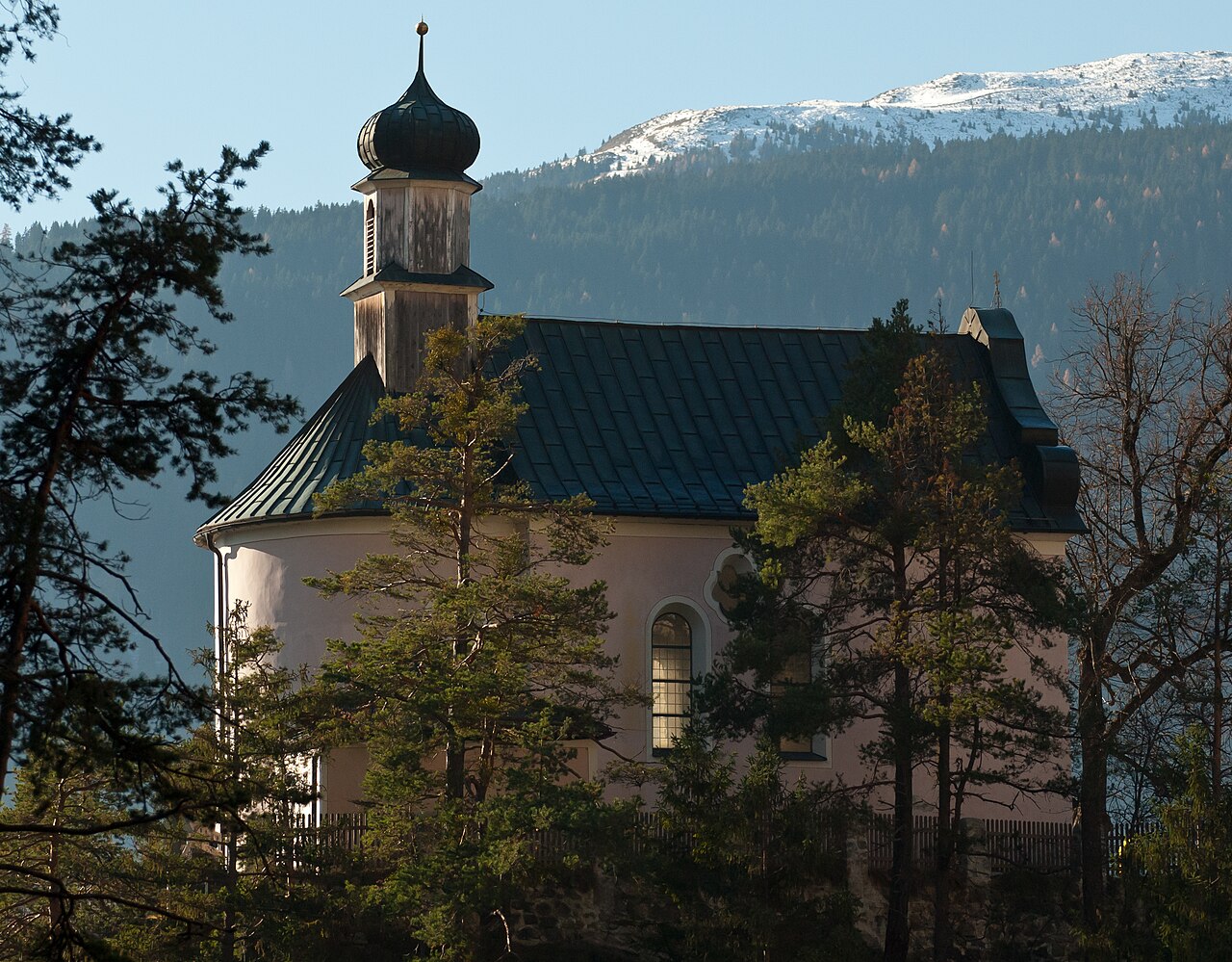
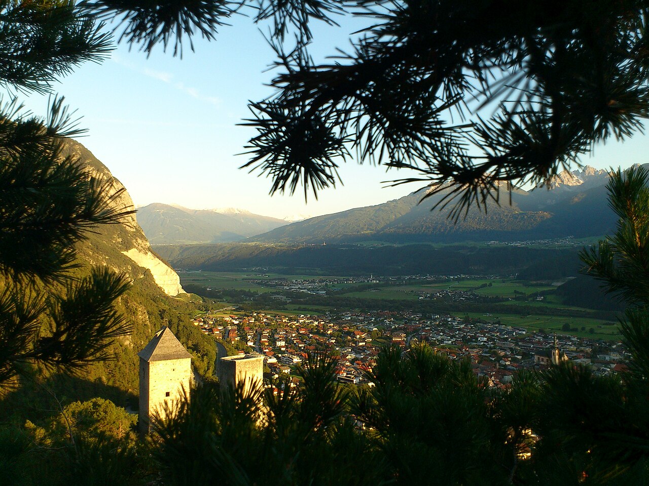
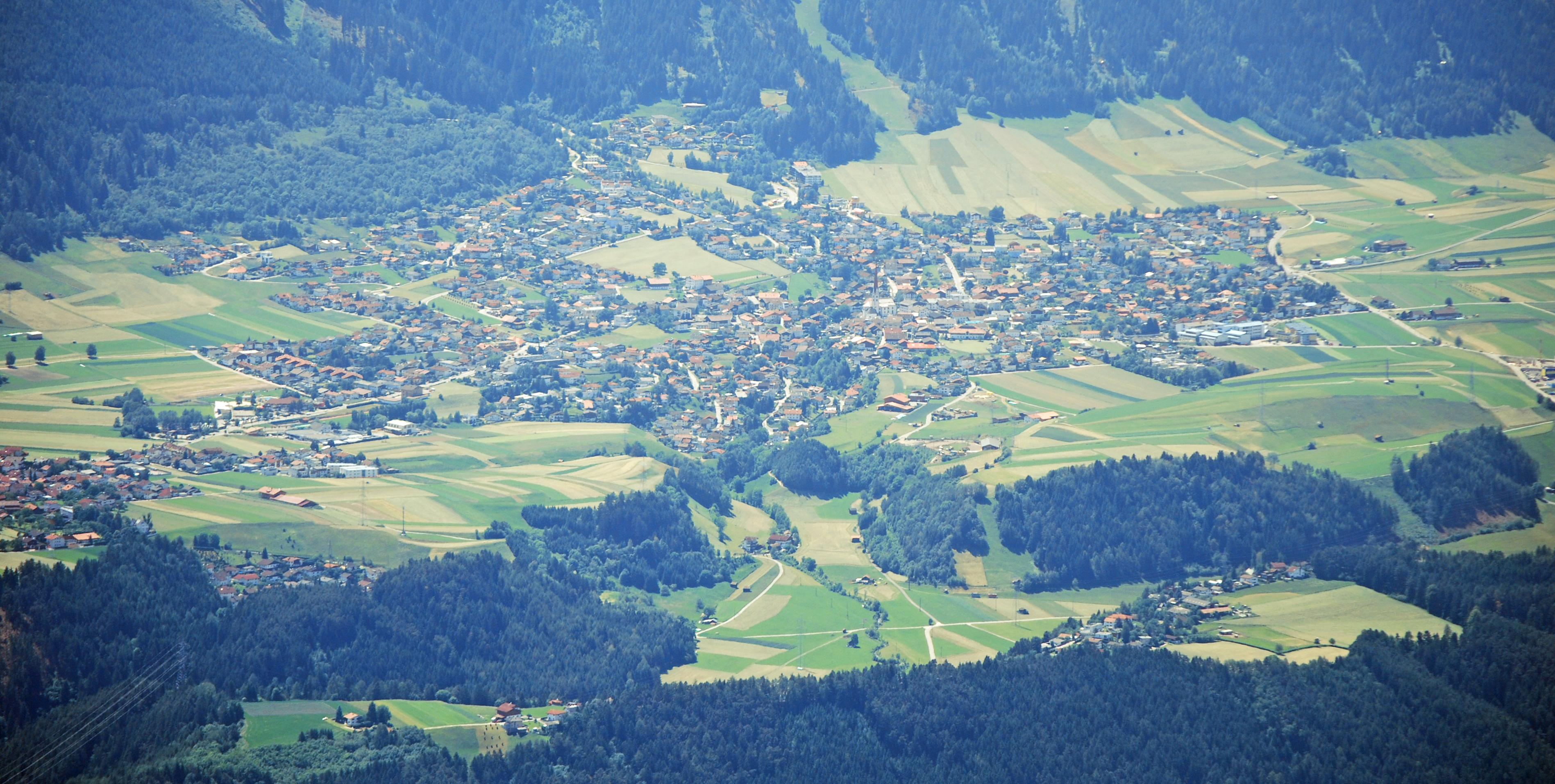
A large village on the plateau southwest of Innsbruck, gateway to the Axamer Lizum ski area beneath the Kalkkögel of the Stubai Alps.
Photo: Svíčková · CC BY-SA 3.0 licence
- 15Highlights
- 30Routes
- Featured summit · Hoadl
Highlights
All 15 from neighbouring places
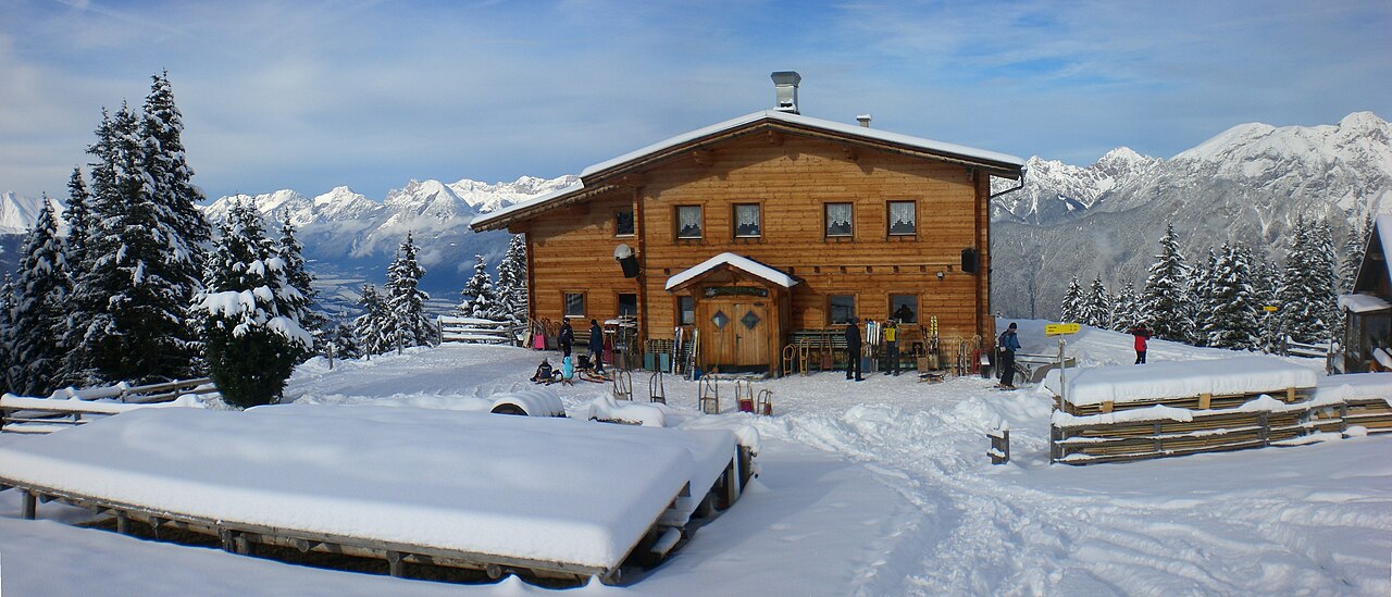
Birgitzer Alm
1.9 km away, in Birgitz
An alpine pasture hut above Birgitz (859 m) on the slopes toward the Kalkkögel, a destination for walkers in summer and tobogganers in winter.
Mooskapelle in Grinzens
3.5 km away, in Grinzens
A small chapel in the meadows near Grinzens, a wayside devotional stop in the villages on the terrace southwest of Innsbruck.
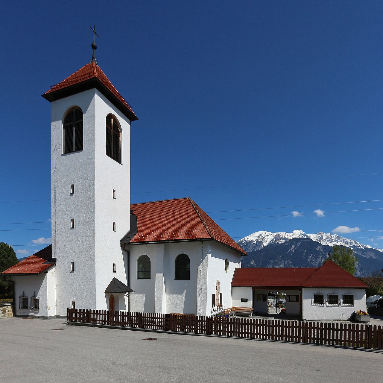
Pfarrkirche St. Viktor & Magdalena
4.8 km away, in Kematen in Tirol
The parish church of Kematen in Tirol (610 m), dedicated to St. Victor and St. Magdalene, near the mouth of the Sellrain valley.
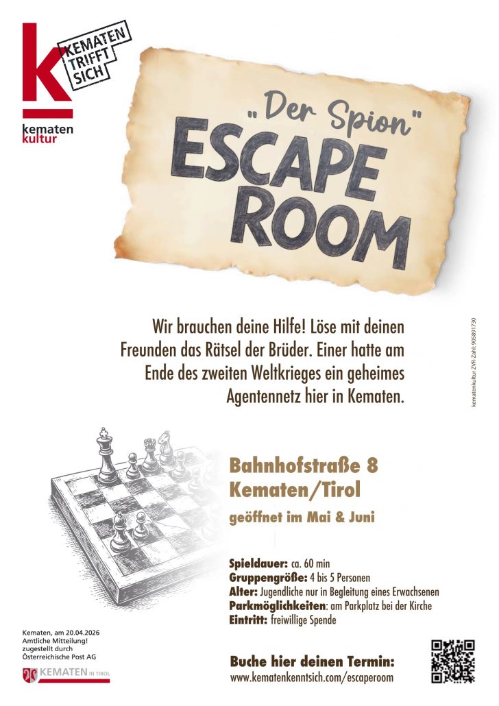
"Der Spion" Escape Room
5 km away, in Kematen in Tirol
An escape-room game in Kematen in Tirol where teams unravel a spy story against the clock in a themed set of rooms.
Schlickeralm 1.643m
6.4 km away, in Telfes im Stubai
A working pasture hut at 1,643 m in the Schlick 2000 walking area, serving its own dairy produce below the Kalkkögel.
Hoarachhof
7 km away, in Mutters
A farmhouse inn on the slopes above Mutters, serving snacks and regional dishes to walkers on the terrace south of Innsbruck.
Alpine Ventures
7.6 km away, in Telfes im Stubai
A guiding outfit based in Fulpmes offering sport-climbing instruction and guided routes on the Stubai valley's crags.
Kalvarienbergkirche
7.6 km away, in Zirl
A calvary church on a knoll above Zirl (622 m), the endpoint of a stations-of-the-cross path with views over the Inn valley.
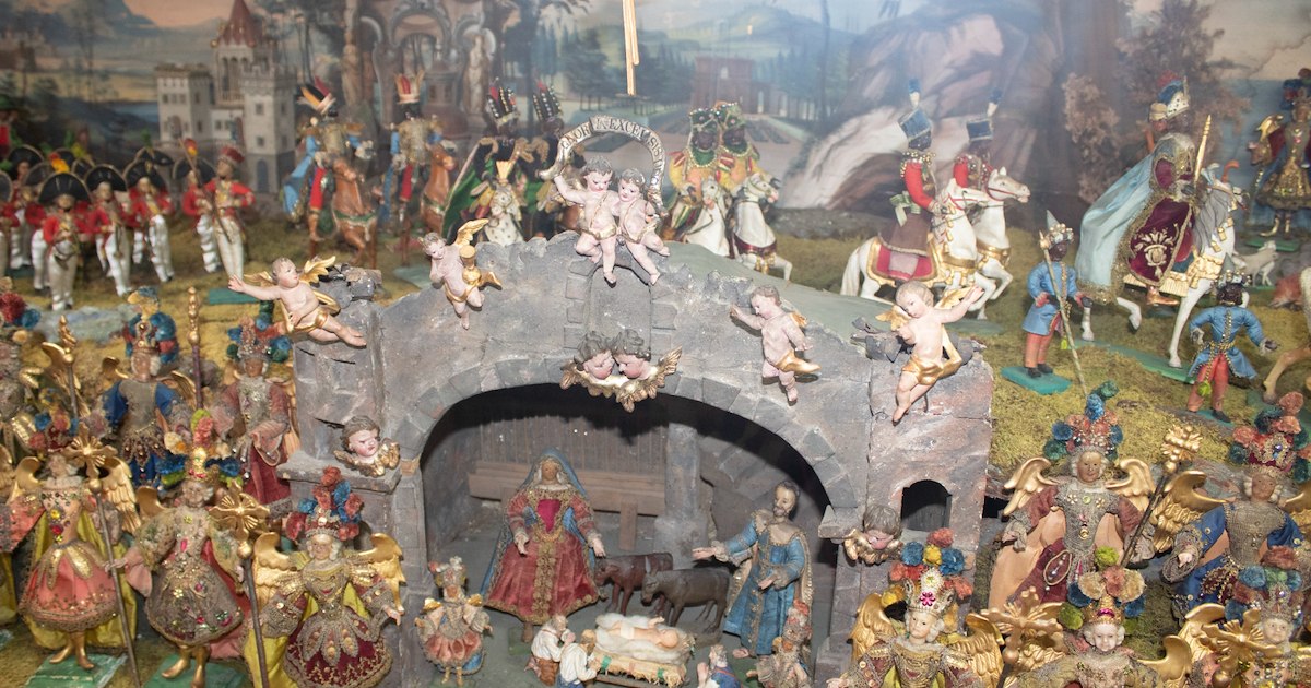
Heimat- und Krippenmuseum Zirl
7.6 km away, in Zirl
Zirl's local heritage museum, pairing village history with a collection of Christmas nativity scenes from the region.
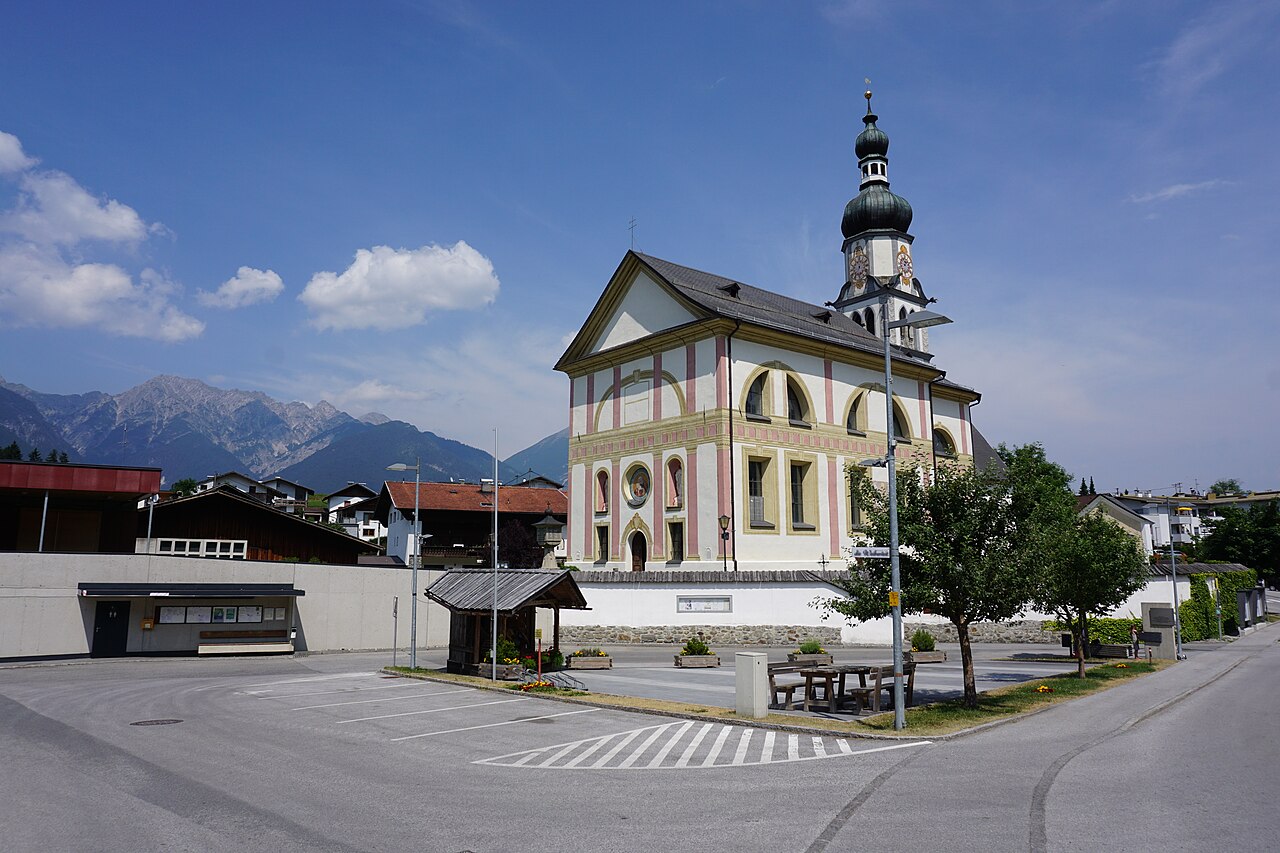
Pfarrkirche Ranggen
7.7 km away, in Ranggen
The parish church of Ranggen (826 m), the landmark of a small farming village in the hills west of Innsbruck.
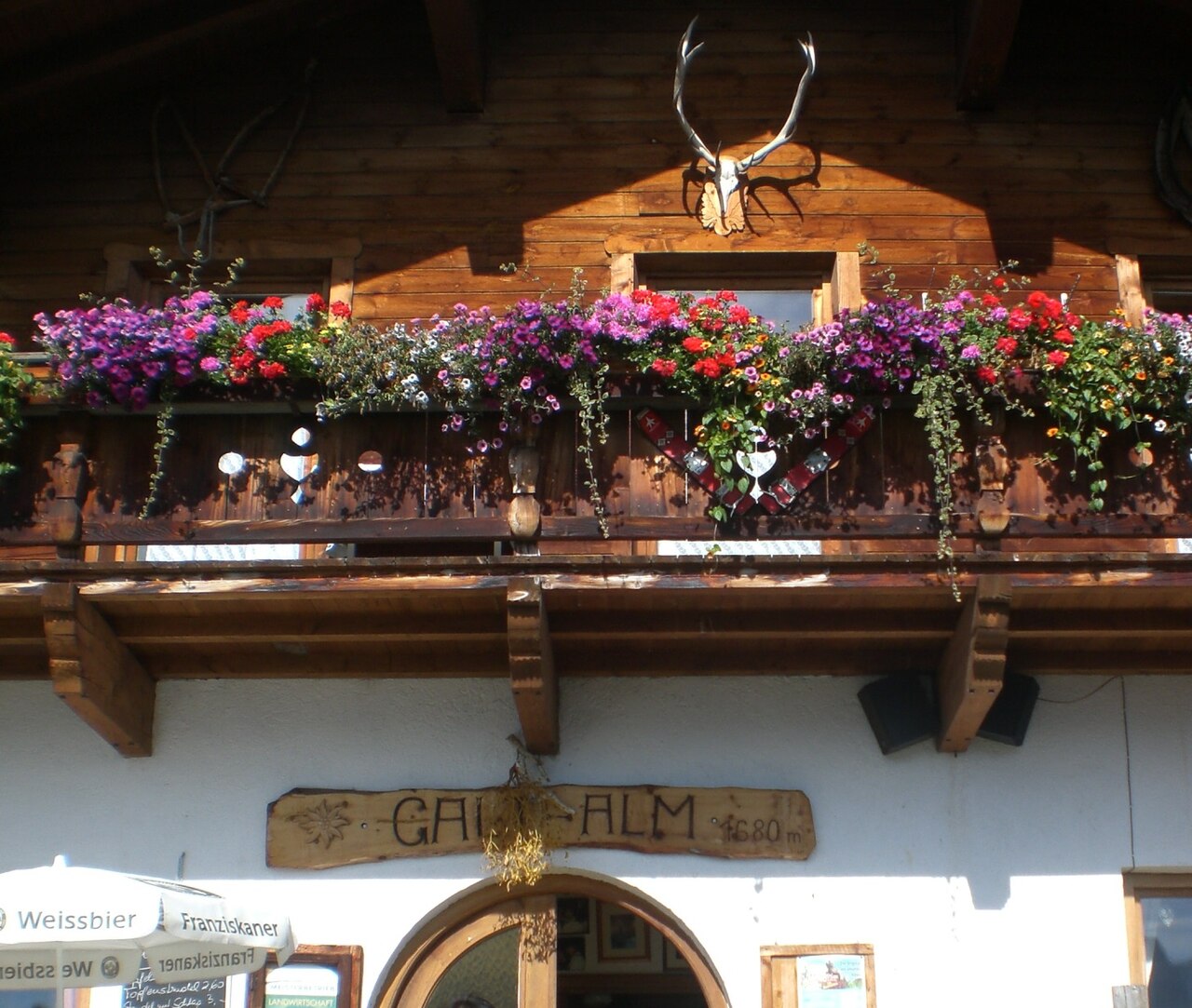
Galtalm
8.1 km away, in Fulpmes
A pasture hut on the slopes above Fulpmes in the Stubaital, a walkers' stop serving hut fare within easy reach of the village.
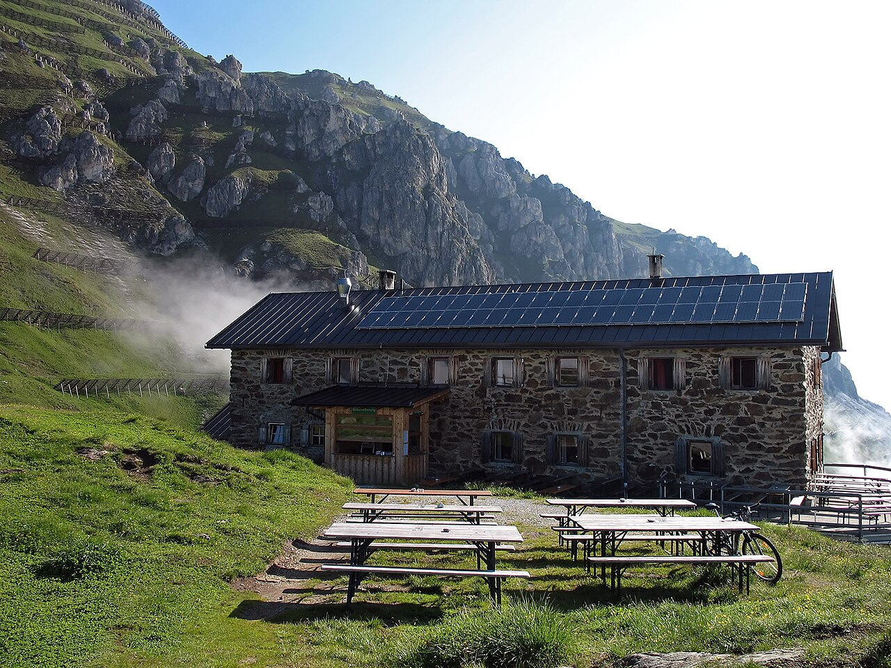
Starkenburger Hütte
8.3 km away, in Fulpmes
An Alpine Club hut at 2,237 m on the sunny side of the Stubaital, the customary first stage of the Stubai High Trail, reached from Fulpmes or Neustift.
Ruine Fragenstein
8.3 km away, in Zirl
The ruin of a medieval castle on the slope above Zirl (622 m), whose remaining tower and walls overlook the Inn valley.
Adventurepark Fulpmes mit Hochseilgarten
8.4 km away, in Fulpmes
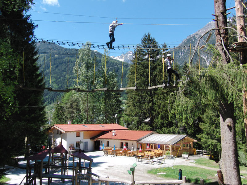
A high-ropes adventure park at Fulpmes with courses of ladders, bridges and zip lines at varying heights among the trees.
Stubaier Bergführer GesbR
8.8 km away, in Mieders
The Stubai mountain guides' association in Fulpmes, arranging guided climbing, via ferrata and high-alpine tours across the valley.
Nothing of this kind in Axams.
Routes
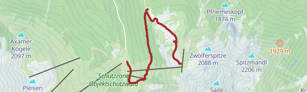
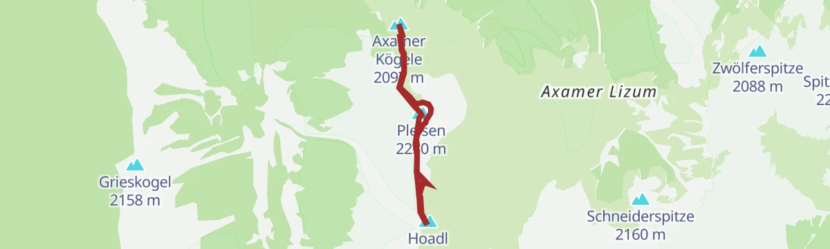
Panoramaweg Pleisen
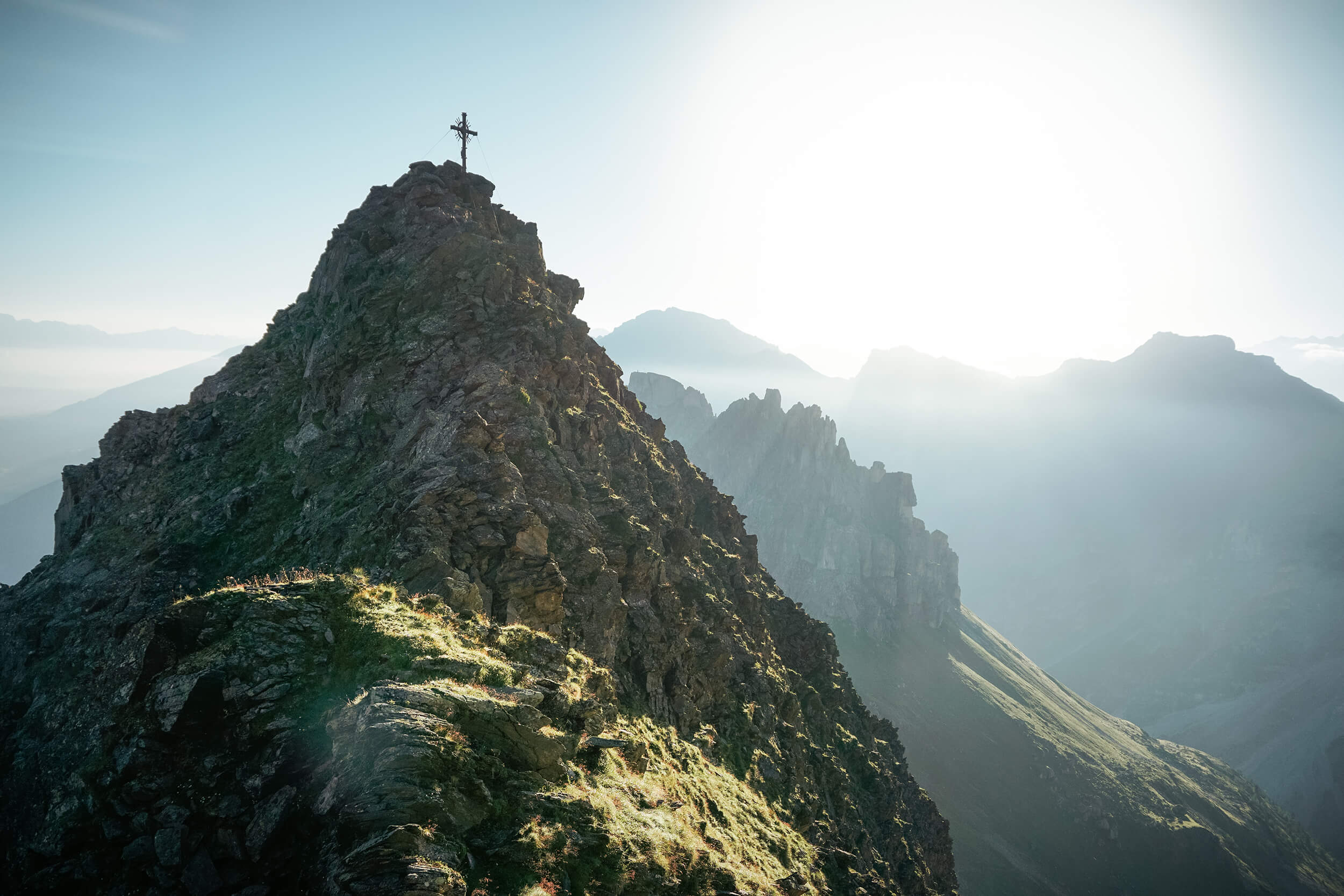
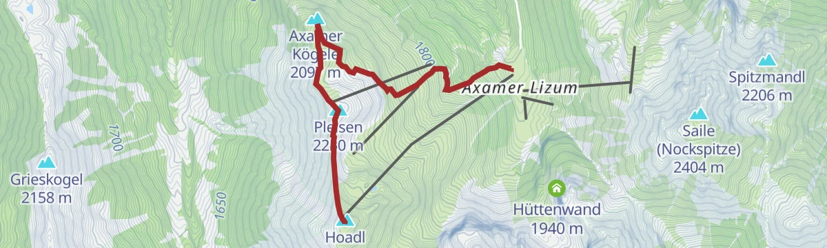
Lift-assisted ridge stroll in the Axamer Lizum that tops the Hoadl, Pleisen and Axamer Kögele in quick succession, with the Hoadlhaus on hand for a summit-station lunch.
- 4.4 km
- Distance
- 348 m
- Ascent
- 2 h 15 min
- Duration
- 66
- Check-ins
Axamer Lizum Hochtennbodensteig
Balcony trail beneath the Hoadl linking the Hoadlsattel, Halsl and Widdersbergsattel to the Birgitzköpflhaus — a moderate round on the rim of the Axamer Lizum.
- 6.0 km
- Distance
- 675 m
- Ascent
- 4 h 4 min
- Duration
- 85
- Check-ins
Axamer Lizum - Birgitzköpfl - Hoadlsattel
Full-day loop in the Axamer Lizum with over 1,000 m of climbing, rising past the Lizumalm to the Birgitzköpflhaus and on to the Hoadlsattel before dropping back to the valley floor.
- 11.4 km
- Distance
- 1 059 m
- Ascent
- 6 h 36 min
- Duration
- 52
- Check-ins
Axamer Lizum Pistenskitour Damenabfahrt
Marked piste ski tour in the Axamer Lizum ascending beside the women's Olympic downhill line to the Hoadlsattel and the Hoadlhaus at the top of the ski area.
- 3.9 km
- Distance
- 757 m
- Ascent
- 757 m
- Descent
- 2 h 27 min
- Duration
- 68
- Check-ins
Grinzens Senderstal - Skitour Salfains
From Grinzens into the Senderstal, climbing past the Salfeins-Alm to the panoramic plateau at the Salfeinssee - a 1,000 m tour facing the Kalkkögel spires.
- 6.4 km
- Distance
- 1 013 m
- Ascent
- 1 013 m
- Descent
- 3 h 26 min
- Duration
- 31
- Check-ins
 Salfeins 2 000 m
 Salfeinssee 1 984 m
 Salfeins-Alm 1 738 m
Axamer Lizum (5009)
A forest-road climb on the Axams side of the Inn valley, gaining more than 500 m of height in a little under 8 km.
- 7.3 km
- Distance
- 554 m
- Ascent
- 1 h 22 min
- Duration
Innsbruck Hochplateau Ride
A demanding tour over the terraces above the Inn valley, taking in the Goldbichl and a string of mid-mountain farms and inns.
- 107.7 km
- Distance
- 2 530 m
- Ascent
- 11 h 57 min
- Duration
- 21
- Check-ins
Butterbründlsteig - Wanderung - Birgitzer Alm
Short, steep woodland climb from the Axamer Lizum road up to the Birgitzer Alm — a direct hut approach that packs its height gain into under two kilometres.
- 3.9 km
- Distance
- 239 m
- Ascent
- 1 h 39 min
- Duration
- 19
- Check-ins
Almtour - Birgitzköpfl-Muttereralm-Götzner Alm-BirgitzerAlm
Alm-to-alm circuit south of Innsbruck linking the Mutterer Alm, Götzner Alm and Birgitzer Alm below the Birgitzköpfl, with hut food available at every stage.
- 11.3 km
- Distance
- 800 m
- Ascent
- 5 h 19 min
- Duration
- 78
- Check-ins
Senderstal - Kemater Alm - Adolf Pichler Hütte
Valley approach through the Senderstal past the Kemater Alm to the Adolf-Pichler-Hütte, set directly beneath the Kalkkögel spires — a steady climb of about 1,000 m.
- 15.9 km
- Distance
- 1 007 m
- Ascent
- 6 h 53 min
- Duration
- 12
- Check-ins
Grinzens Senderstal - Skitour Kemater Alm
Forest-road ski tour from Grinzens through the Senderstal to the Kemater Alm beneath the Kalkkögel, a reliable choice even shortly after fresh snowfall.
- 5.8 km
- Distance
- 669 m
- Ascent
- 669 m
- Descent
- 2 h 27 min
- Duration
- 8
- Check-ins
Grinzens Senderstal - Skitour Sonntagsköpfl
Continuing past the Kemater Alm and the Adolf-Pichler-Hütte, this Senderstal ski tour climbs into the cirque below the Kalkkögel to a viewpoint summit.
- 8.5 km
- Distance
- 1 097 m
- Ascent
- 1 097 m
- Descent
- 3 h 54 min
- Duration
- 14
- Check-ins
Lizumer Rundwanderweg
Easy circuit on the Axamer Lizum valley floor linking the Lizumalm and Schafalm on broad paths — a gentle leg-stretcher beneath the Kalkkögel walls.
- 2.8 km
- Distance
- 136 m
- Ascent
- 1 h 1 min
- Duration
- 14
- Check-ins
Hoadlwanderung über Axamer Kögele und Pleisen
Steep, direct line onto the Hoadl that collects the Axamer Kögele and Pleisen on the way — almost 860 m of climbing in 4.5 km, with the Hoadlhaus waiting at the top.
- 4.6 km
- Distance
- 857 m
- Ascent
- 4 h 48 min
- Duration
- 67
- Check-ins
Axamer Lizum Pistenskitour Herrenabfahrt
Piste ski tour up the men's Olympic downhill slope in the Axamer Lizum, a steep, direct line past the Pleisenhütte to the ridge; skibus lines reach the base.
- 2.6 km
- Distance
- 567 m
- Ascent
- 567 m
- Descent
- 1 h 48 min
- Duration
- 7
- Check-ins
Rundwanderweg Axamer Lizum über Schafalm
Almost flat family loop around the Axamer Lizum valley floor via the Lizumalm and Schafalm — an easy hour of walking below the Kalkkögel.
- 1.4 km
- Distance
- 74 m
- Ascent
- 32 min
- Duration
- 10
- Check-ins
Birgitzer Alm - Birgitzköpfl
Compact climb from the Birgitzer Alm to the Birgitzköpflhaus viewpoint facing the Kalkkögel spires, with an optional descent variant past the Lizumalm.
- 3.8 km
- Distance
- 485 m
- Ascent
- 2 h 52 min
- Duration
- 38
- Check-ins
Axamer Lizum Pistenskitour - Sunnalm
Marked piste ski tour in the Axamer Lizum, skinning roughly 500 m up to the Sunnalm — a short, lift-area lap with a groomed run back down.
- 1.7 km
- Distance
- 496 m
- Ascent
- 496 m
- Descent
- 1 h 30 min
- Duration
- 2
- Check-ins
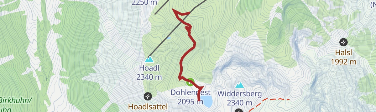
Herzlteichweg
Short, sharp path above the Axamer Lizum to the Dohlennest, gaining 200 m in under two kilometres — brief but leg-testing, with a small pond as the goal.
- 4.0 km
- Distance
- 208 m
- Ascent
- 1 h 30 min
- Duration
- 9
- Check-ins
Birgitzköpfl - Rundwanderung
Half-day loop from the Axamer Lizum up to the Birgitzköpflhaus and back past the Birgitzer Alm and Lizumalm, with steady, moderate climbing throughout.
- 5.1 km
- Distance
- 459 m
- Ascent
- 2 h 53 min
- Duration
- 38
- Check-ins
Axams - Adelshof Wanderung
Easy village round on the sunny mittelgebirge terrace above the Inn valley, on field and forest paths with steady views across to the Nordkette.
- 5.4 km
- Distance
- 334 m
- Ascent
- 2 h 17 min
- Duration
Gipfeltour Nockspitze
Summit push from the Birgitzköpflhaus onto the Saile (Nockspitze), the freestanding peak between the Axamer Lizum and the Stubai entrance — short, steady and wide-open on top.
- 3.3 km
- Distance
- 377 m
- Ascent
- 2 h 16 min
- Duration
- 36
- Check-ins
Kohlstatt - Untergrinzens - Mooskapelle
Easy meadow-and-lane loop from Kohlstatt through Untergrinzens to the Mooskapelle, a small chapel stop on the terrace above the Melach.
- 2.5 km
- Distance
- 92 m
- Ascent
- 50 min
- Duration
Axamer Lizum zum Halsl und weiter zur Saile/Nockspitze
Route over the Halsl saddle onto the Saile (Nockspitze), climbing out of the ski valley to a summit with the Inn valley on one side and the Stubai on the other.
- 3.5 km
- Distance
- 817 m
- Ascent
- 4 h 29 min
- Duration
- 32
- Check-ins
Panoramaweg Axams (32)
Level panorama stroll along the plateau edge at Axams — an easy, pushchair-friendly path with open views to the Nordkette and Kalkkögel.
- 2.4 km
- Distance
- 14 m
- Ascent
- 36 min
- Duration
Kemater Alm
Classic forest-road walk from Grinzens into the Senderstal to the popular alm at its head, where the Kalkkögel wall fills the view — moderate and family-friendly.
- 11.6 km
- Distance
- 678 m
- Ascent
- 4 h 44 min
- Duration
- 8
- Check-ins
Panoramaweg Grinzens (32)
Short, gently rising panorama path on the terrace above Grinzens, an easy link in the Westliches Mittelgebirge network with Kalkkögel views.
- 2.5 km
- Distance
- 111 m
- Ascent
- 52 min
- Duration
Panoramaweg Westliches Mittelgebirge
Rolling traverse along the Westliches Mittelgebirge terrace above the Inn valley, passing the Restaurant Klammhütte with steady views to the Nordkette.
- 9.6 km
- Distance
- 381 m
- Ascent
- 3 h 12 min
- Duration
- 4
- Check-ins
Wanderweg Zifres Omes
Easy round from Kematen over the hamlets of Zifres and Omes, gaining a modest rise onto the terrace with views along the Inntal.
- 5.4 km
- Distance
- 258 m
- Ascent
- 1 h 55 min
- Duration
Erkundungstour über die Dörfer
Rolling round through the mittelgebirge villages of Birgitz and Axams, with the Liftstüberl Birgitz as a refreshment stop along the way.
- 7.6 km
- Distance
- 189 m
- Ascent
- 2 h 15 min
- Duration
- 1
- Check-ins
No routes of this kind in Axams yet.
The region's own picks
Featured route
Panoramaweg Pleisen
Lift-assisted ridge stroll in the Axamer Lizum that tops the Hoadl, Pleisen and Axamer Kögele in quick succession, with the Hoadlhaus on hand for a summit-station lunch.
Planning a trip to Axams?
Everything else Tyrol has, in one place


Take Axams with you into the mountains
Every route on this page with 3D terrain, GPX navigation and offline maps — including the valleys with no signal.
Data sources
- Official website: innsbruck.info ↗
- Routes and highlights: Innsbruck Tourismus, Tourismusverband Stubai Tirol
- Published as open data by the tourist boards named above.
- Region summary generated from the board's own material.
