
 Historic site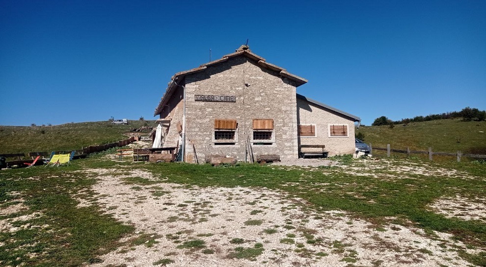









Curated by APT Rovereto Vallagarina Monte Baldo
Avio
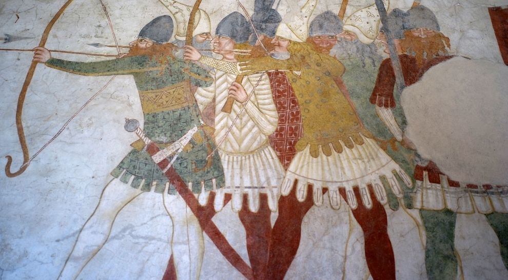
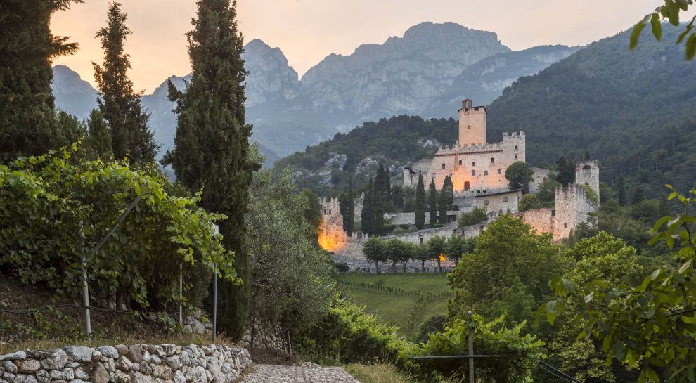
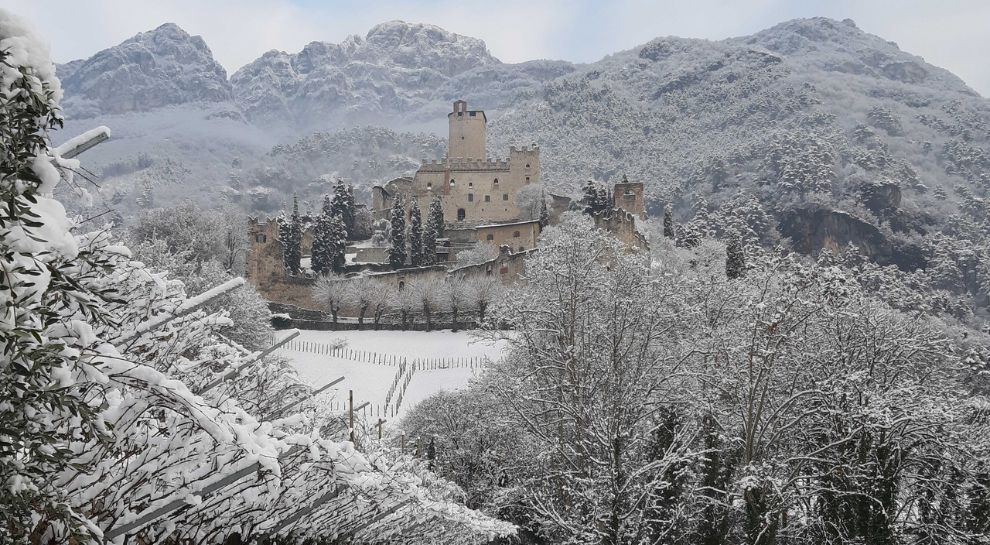
Vallagarina comune whose Sabbionara castle keeps some of the finest secular frescoes in the Alps, above the vineyards.
- 7Highlights
- 30Routes
- Featured summit · Monte Altissimo di Nago
Highlights
8 from neighbouring places
Avio Burg für Kinder
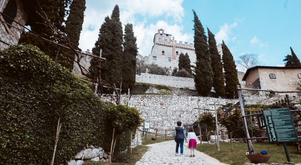
A family route through Castel Avio, the terraced castle on the slope above Sabbionara, at the southern end of the Vallagarina.
Die Burg von Sabbionara d’Avio
The Sabbionara castle at Avio, its guardhouse painted with fourteenth-century scenes of cavalry.
Casa del Vicario di Avio
The vicar's house beside the Pieve di Avio, kept with its painted rooms.
Castello di Avio
A castle above the Adige at Sabbionara, whose keep holds the finest secular medieval frescoes in the Alps.
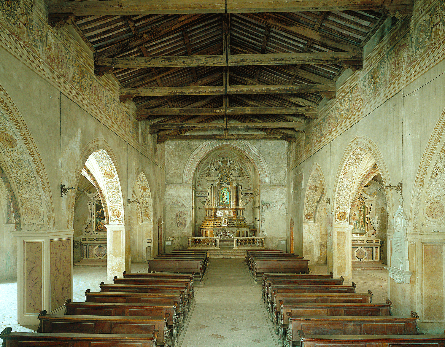
Pieve di Avio
The old parish church of Avio, Romanesque in origin, on the vineyard terrace.
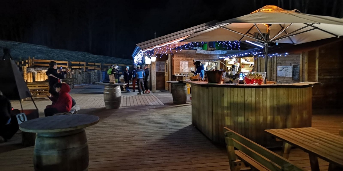
Baita del Trett
6 km away, in Brentonico
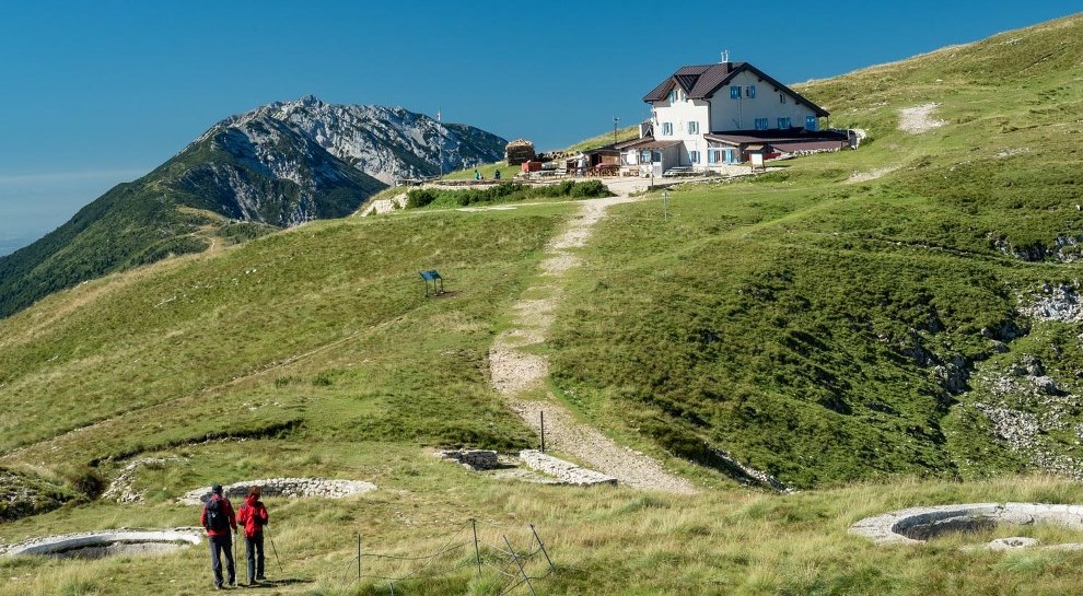
A hut on the San Valentino side of Monte Baldo, among the summer pastures.
Skill Park Polsa
6.5 km away, in Brentonico
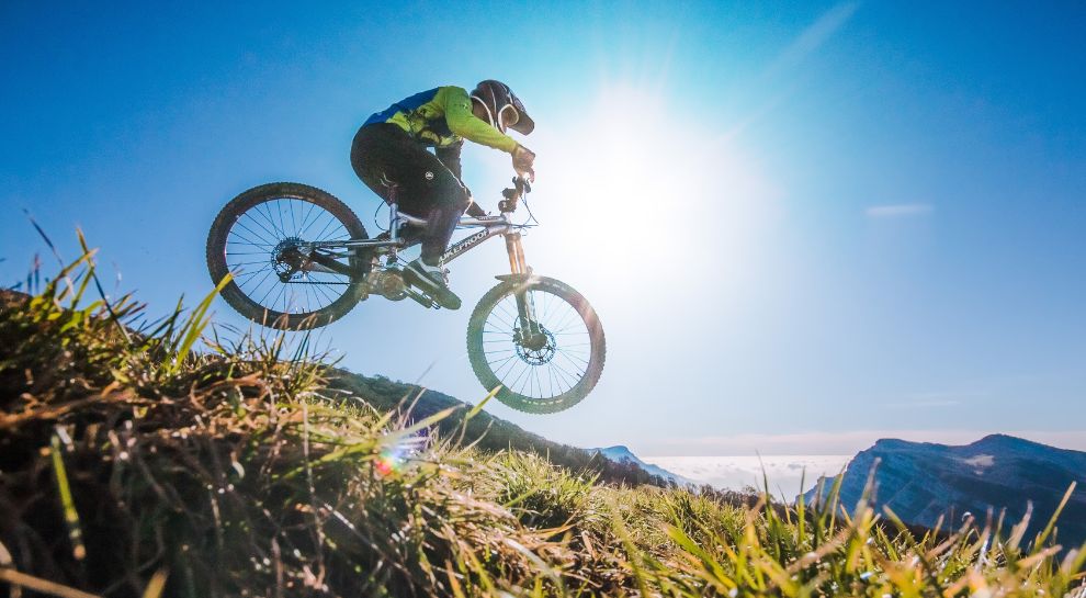
A mountain-bike skills area at Polsa on the Baldo slopes, with graded lines and jumps.
Baita Montagnola
6.8 km away, in Brentonico
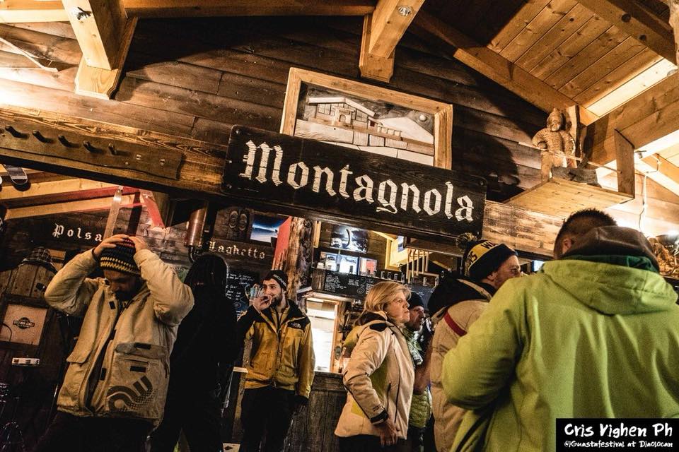
A hut on the Montagnola meadows above Brentonico, on the Baldo ski and walking trails.
Agritur El Casel Malga Mortigola
8.4 km away, in Brentonico
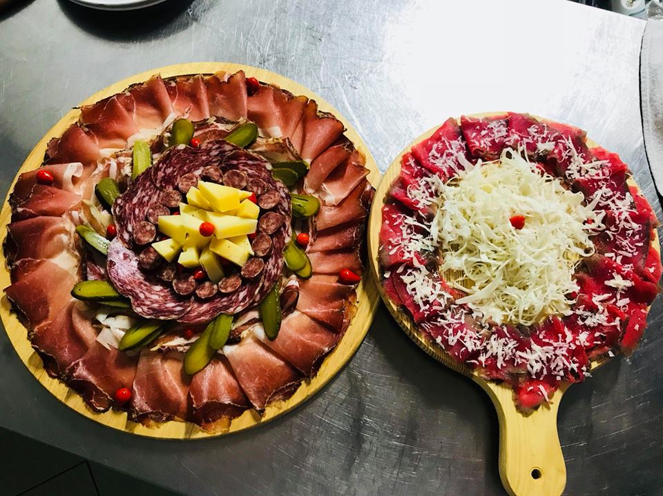
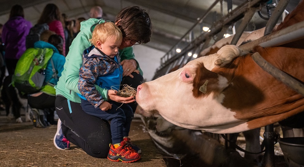
A working dairy on the Mortigola pastures of Monte Baldo, serving what it makes.
Agritur Malga Mortigola
8.8 km away, in Brentonico
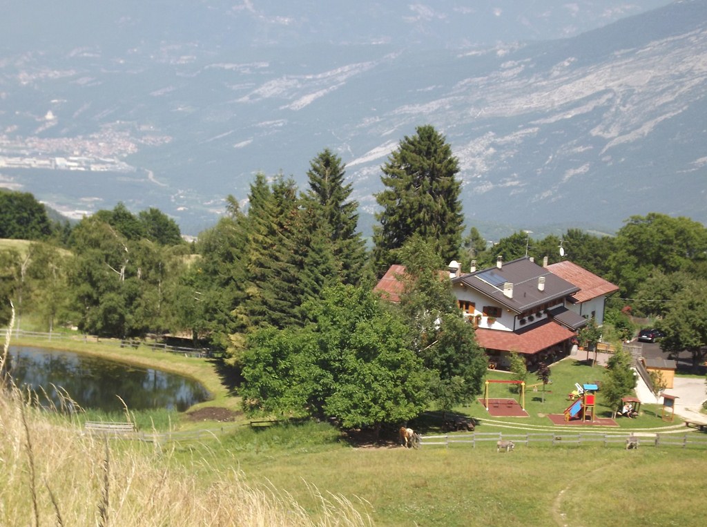
A farm inn on the Baldo pastures above Brentonico, on the trails to the Altissimo.
Rifugio Altissimo Damiano Chiesa
9.2 km away, in Brentonico
A hut just below the Altissimo di Nago, the northern summit of Monte Baldo, looking down on Lake Garda.
Mulino Zeni
9.5 km away, in Brentonico
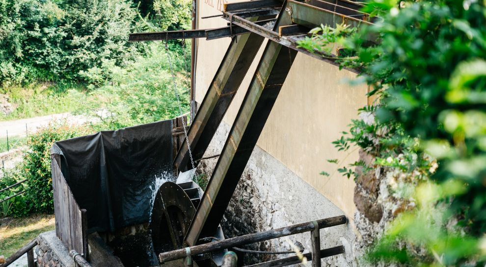
A restored watermill at Brentonico, still grinding on demonstration days.
Nothing of this kind in Avio.
Routes
Via Ferrata Gerardo Sega
A via ferrata in a rock amphitheatre on the Trentino flank of Monte Baldo, mostly on exposed but reasonable ledges, with a few harder moves near the end.
- 8.6 km
- Distance
- 863 m
- Ascent
- 6 h 44 min
- Duration
- 15
- Check-ins
Open route APT Rovereto Vallagarina Monte BaldoFrom Madonna della Neve to the Corondoler Waterfall
A route beside the channel carrying the Corondoler spring to its waterfalls, then down the stream to the Pian della Cenere meadows.
- 5.9 km
- Distance
- 170 m
- Ascent
- 1 h 49 min
- Duration
- 15
- Check-ins
 Rifugio Monte Baldo 1 119 m
- Colonia Montana Madonna della Neve 1 025 m
- Bivacco C. G. Avio - Pian della Cenere 1 012 m
- Malga Pian della Cenere 1 008 m
Open route APT Rovereto Vallagarina Monte Baldo"Malghe" route - Madonna della Neve
A loop from the Monte Baldo hut over the Madonna della Neve pastures to Passo Campione, then through beech and fir to the Lavacchio bivouac and Malga Trattesoli.
- 13.4 km
- Distance
- 541 m
- Ascent
- 4 h 28 min
- Duration
- 25
- Check-ins
- Rifugio Monte Baldo 1 119 m
- Colonia Montana Madonna della Neve 1 025 m
- Bivacco Lavacchio 1 369 m
- Malga Fassole 1 315 m
- Malga Val Domenegal 1 153 m
 Passo Cerbiolo 1 369 m
- +2
Open route APT Rovereto Vallagarina Monte BaldoThe Baldo ridges between Altissimo and Telegrafo
A ridge traverse from the Damiano Chiesa hut on Monte Altissimo to Monte Maggiore by the Telegrafo hut, rocky and uneven in places.
- 15.6 km
- Distance
- 1 102 m
- Ascent
- 7 h 5 min
- Duration
- 315
- Check-ins
 Monte Altissimo di Nago 2 079 m
- Cima Telegrafo 2 200 m
- Cima delle Pozzette 2 132 m
- Punta Pettorina 2 192 m
- Dosso Moreont Alto 1 522 m
- Rifugio Altissimo "Damiano Chiesa" 2 059 m
- +8
Open route APT Rovereto Vallagarina Monte BaldoAlong the Enantio wine route
An easy ride through the vineyards of the lower Vallagarina, linking Sabbionara with Avio on old cobbled lanes below the castle.
- 5.9 km
- Distance
- 92 m
- Ascent
- 37 min
- Duration
- 1
- Check-ins
Open route APT Rovereto Vallagarina Monte BaldoLessinia Bike or Giro delle Malghe OVEST | Esplor-ALA by bike
A ride on the Lessinia plateau from the Passo delle Fittanze, through beech woods and open pasture.
- 14.9 km
- Distance
- 388 m
- Ascent
- 1 h 41 min
- Duration
- 63
- Check-ins
- Monte Corno 1 355 m
- Passo delle Fittanze della Sega 1 399 m
- Col di Pealda Bassa 1 471 m
- Malga Fittanze 1 386 m
- Bar Passo Fittanze 1 379 m
- Dimora storica Tabarelli De Fatis 1 226 m
- +2
Open route APT Rovereto Vallagarina Monte BaldoMonte BaldoTour
A big road day from the Garda shore onto the Baldo ridge, crossing Bocca di Navene, Bocca del Creer and the Passo di San Valentino.
- 116.8 km
- Distance
- 2 329 m
- Ascent
- 12 h 33 min
- Duration
- 457
- Check-ins
- Albergo Rifugio Graziani 1 626 m
- Bocca del Creer 1 617 m
- Bocca di Navene 1 425 m
- Malga Canalece 1 574 m
- Chalet Novezza 1 386 m
- Passo di San Valentino 1 314 m
- +23
Open route Garda TrentinoOn the Lessinia Plateau: from Busoni to Passo della morte
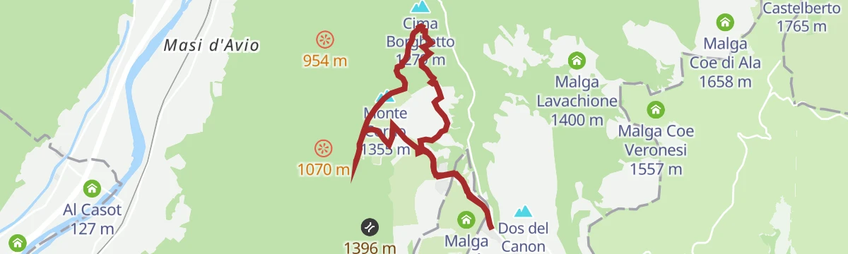
An easy walk on the Lessinia plateau past Malga Fratte to Monte Corno and the Passo della Morte, over ground fought across in the Great War.
- 6.6 km
- Distance
- 225 m
- Ascent
- 2 h 6 min
- Duration
- 3
- Check-ins
Open route APT Rovereto Vallagarina Monte BaldoTour of the "Colonei"
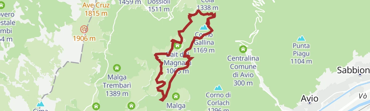
A loop from the 17th-century church at Madonna della Neve through beech and larch to the meadows past the Rii valley, with a detour to the Bus del Pensa shaft.
- 9.7 km
- Distance
- 437 m
- Ascent
- 3 h 22 min
- Duration
- 24
- Check-ins
- Rifugio Monte Baldo 1 119 m
- Villa Arvedi 1 070 m
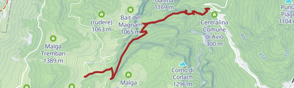
- Bait del Magnam 1 065 m
- Albergo Alpino 1 118 m
- Passo Pozza della Cola 1 289 m
Open route APT Rovereto Vallagarina Monte BaldoValentine's Day Ring - Prà Alpesina | 1950s
A long loop from the San Valentino pass under Monte Altissimo to Bocca Navene above Garda, returning by the Baldo cable car station and the meadows of Pra Alpesina.
- 20.6 km
- Distance
- 907 m
- Ascent
- 7 h 4 min
- Duration
- 201
- Check-ins
- Albergo Rifugio Graziani 1 626 m
- Bocca del Creer 1 617 m
- Baita dei Forti 1 745 m
- Passo Tratto Spino 1 760 m
- Bocca di Navene 1 425 m
- Malga Canalece 1 574 m
- +6
Open route APT Rovereto Vallagarina Monte BaldoTour di Affi
A classic group-ride loop from Torbole down the Garda shore and its short tunnels, over to Costermano and back north through the Adige valley.
- 106.1 km
- Distance
- 718 m
- Ascent
- 10 h 5 min
- Duration
- 254
- Check-ins
- Tourist Information 89 m
- Tourist Information 68 m
- Soardi Center 212 m
- cappella di San Rocco 213 m
- Chiesa di Sant'Antonio 223 m
- Villa Monica 75 m
- +8
Open route Garda TrentinoFrom Pian della Cenere to the Baldo Patriarch
A short climb through mixed fir and beech to the Patriarch, a candelabra-shaped silver fir over six metres round, listed among Vallagarina's monumental trees.
- 1.3 km
- Distance
- 259 m
- Ascent
- 57 min
- Duration
- 2
- Check-ins
Open route APT Rovereto Vallagarina Monte BaldoPrà Alpesina - S. Valentino | 1950
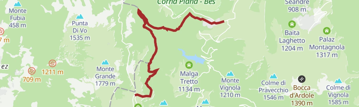
A traverse from the Dossioli hut to San Valentino, through the side valleys above the Pra da Stua reservoir.
- 7.4 km
- Distance
- 259 m
- Ascent
- 2 h 30 min
- Duration
- 22
- Check-ins
Open route APT Rovereto Vallagarina Monte BaldoTour of the "Malghe" - Madonna della Neve
A long tour out of the Madonna della Neve hollow up to Malga Lavacchio, on through beech woods to Passo del Cerbiolo and back over the Acque Nere and Trembari pastures.
- 28.4 km
- Distance
- 1 102 m
- Ascent
- 9 h 22 min
- Duration
- 74
- Check-ins
- Chalet Novezza 1 386 m
- Rifugio Monte Baldo 1 119 m
- Cavallo di Novezza 1 433 m
- Baita Genzianella 1 352 m
- Villa Arvedi 1 070 m
- Colonia Montana Madonna della Neve 1 025 m
- +14
Open route APT Rovereto Vallagarina Monte BaldoTour of Monte Baldo
A high traverse of the Baldo ridge by Corno della Paura, Passo di San Valentino and Bocca del Creer, ending on the balcony at Bocca di Navene.
- 84.4 km
- Distance
- 2 093 m
- Ascent
- 9 h 28 min
- Duration
- 187
- Check-ins
- Albergo Rifugio Graziani 1 626 m
- Bocca del Creer 1 617 m
- Bocca di Navene 1 425 m
- Malga Canalece 1 574 m
- Passo di San Valentino 1 314 m
- Bocca di Navene 1 427 m
- +14
Open route APT Rovereto Vallagarina Monte BaldoBacino Prà da Stua L
An easy walk around the Pra da Stua reservoir on the Brentonico plateau, on the Trentino flank of Monte Baldo.
- 2.5 km
- Distance
- 100 m
- Ascent
- 50 min
- Duration
- 1
- Check-ins
Open route Trentino FishingHike to Rifugio Monte Baldo
A climb to the Rifugio Monte Baldo, set in the meadow basin at Madonna della Neve, well away from the through roads.
- 8.8 km
- Distance
- 817 m
- Ascent
- 5 h 5 min
- Duration
- 13
- Check-ins
Open route APT Rovereto Vallagarina Monte BaldoMori - Avio - San Valentino
A long road loop over the Passo San Giovanni and up the Valle dei Molini to the Passo di San Valentino on the north side of Baldo.
- 73.6 km
- Distance
- 1 814 m
- Ascent
- 8 h 14 min
- Duration
- 96
- Check-ins
- Passo di San Valentino 1 314 m
- Tourist Information 68 m
- Soardi Center 212 m
- cappella di San Rocco 213 m
- Passo San Giovanni 272 m
- Baita al Trett 1 316 m
- +11
Open route Garda TrentinoPeace Tournament 2021 - Avio Castle
A loop from the Avio sports field to the castle and the village centre along the old Via Olivi.
- 4.0 km
- Distance
- 151 m
- Ascent
- 1 h 18 min
- Duration
- 1
- Check-ins
Open route APT Rovereto Vallagarina Monte BaldoSega - Busoni - Passo della Morte | Esplor-ALA on foot
A walk across the Lessini plateau linking restored Great War tunnels with the viewpoint above the Adige at the pass, past Malga delle Cime.
- 8.0 km
- Distance
- 236 m
- Ascent
- 2 h 27 min
- Duration
- 12
- Check-ins
- Monte Corno 1 355 m
- Dimora storica Tabarelli De Fatis 1 226 m
- Malga delle Cime 1 330 m
- Servizi igienici 1 1 213 m
Open route APT Rovereto Vallagarina Monte BaldoCiclovia della Valle dell'Adige
The Adige valley cycleway the length of Trentino, linking Bolzano province with Verona.
- 81.3 km
- Distance
- 41 m
- Ascent
- 7 h 16 min
- Duration
- 42
- Check-ins
Torrente Aviana Q
A flat path beside the Aviana torrent at Avio, on the valley floor of the lower Vallagarina.
- 5.1 km
- Distance
- 0 m
- Ascent
- 2 h 4 min
- Duration
- 1
- Check-ins
Open route Trentino FishingGeoTrail Gemme del Baldo
A themed route on good mountain roads over Monte Baldo, with five geocache stations set up by Rovereto students on earth science and botany.
- 8.5 km
- Distance
- 416 m
- Ascent
- 3 h 4 min
- Duration
- 11
- Check-ins
- Bivacco Lavacchio 1 369 m
- Malga Fassole 1 315 m
- Passo Cerbiolo 1 369 m
- Malga Trattesoli 1 115 m
- Bivacco C. G. Avio - Pian della Cenere 1 012 m
- Malga Pian della Cenere 1 008 m
- +2
Open route APT Rovereto Vallagarina Monte BaldoClimbing to Lessinia
A road ascent that leaves the Adige at Ala for Sega di Ala, climbing past Malga Riondera to Passo Fittanze on the Lessinia edge.
- 83.1 km
- Distance
- 1 747 m
- Ascent
- 9 h 1 min
- Duration
- 38
- Check-ins
- Col di Pealda Bassa 1 471 m
- Pealda bassa 1 451 m
- Dimora storica Tabarelli De Fatis 1 226 m
- GIULIO Mountain B&B 1 229 m
 Mori - Ala 167 m
- Agritur Malga Riondera 811 m
Open route APT Rovereto Vallagarina Monte BaldoNKC
A short level route on the Adige floor at Avio, in the lower Vallagarina under the Monte Baldo ridge.
- 1.0 km
- Distance
- 0 m
- Ascent
- 15 min
- Duration
Open route Trentino FishingFiume Adige C
A flat riverside walk along the Adige below Avio, at the southern end of the Vallagarina.
- 8.8 km
- Distance
- 0 m
- Ascent
- 2 h 5 min
- Duration
Open route Trentino FishingAscent Avio - San Valentino
A road climb from the Adige floor to the Passo di San Valentino, steepest in its middle third and passing the Prà della Stua reservoir.
- 15.0 km
- Distance
- 1 303 m
- Ascent
- 2 h 19 min
- Duration
- 25
- Check-ins
- Passo di San Valentino 1 314 m
- Baita al Trett 1 316 m
- Malga Postemonzèl 1 192 m
- Centralina Comune di Avio 300 m
Open route APT Rovereto Vallagarina Monte BaldoCycling among wineries and castles
A long Vallagarina loop between vineyards and hill fortresses, with Castel Beseno and cellar stops strung along the way.
- 91.2 km
- Distance
- 821 m
- Ascent
- 8 h 52 min
- Duration
- 17
- Check-ins
- Mori - Ala 167 m
- Baita operatori e materiale 185 m
- Baita principale 186 m
- Al Casot 127 m
- Locanda al Castello 275 m
- Maso Pozze 172 m
- +6
Open route APT Rovereto Vallagarina Monte BaldoVia Claudia Augusta - cycle path on the Adige in Vallagarina
A flat cycle path beside the Adige through Vallagarina, running from Besenello down the valley past vineyards, villages and hillside castles.
- 40.2 km
- Distance
- 22 m
- Ascent
- 3 h 36 min
- Duration
- 5
- Check-ins
- Mori - Ala 167 m
Open route APT Rovereto Vallagarina Monte BaldoFondovalle Ala Cycle Path - Road bike | Esplor-ALA by bike
A flat route along the Adige floor at Ala, on cycle path and quiet lanes through vineyard country.
- 29.2 km
- Distance
- 187 m
- Ascent
- 2 h 46 min
- Duration
- 2
- Check-ins
Open route APT Rovereto Vallagarina Monte Baldo
No routes of this kind in Avio yet.
The region's own picks

Featured route
From Madonna della Neve to the Corondoler Waterfall
A route beside the channel carrying the Corondoler spring to its waterfalls, then down the stream to the Pian della Cenere meadows.
Planning a trip to Avio?
Everything else Trentino-Alto Adige/Südtirol has, in one place


Take Avio with you into the mountains
Every route on this page with 3D terrain, GPX navigation and offline maps — including the valleys with no signal.
Data sources
- Official website: visitrovereto.it ↗
- Routes and highlights: APT Rovereto Vallagarina Monte Baldo, Visitrovereto, Trentino Fishing, Garda Trentino, Visit Trentino
- Published as open data by the tourist boards named above.
- Region summary generated from the board's own material.
