
 Historic site





Curated by Osttirol Tourismus
Außervillgraten
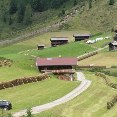
The lower of the two Villgraten valley villages, at about 1250 m in the Villgraten mountains — steep hay meadows and a life still shaped by mountain farming.
- 7Highlights
- 15Routes
- Featured summit · Großes Degenhorn
Highlights
8 from neighbouring places
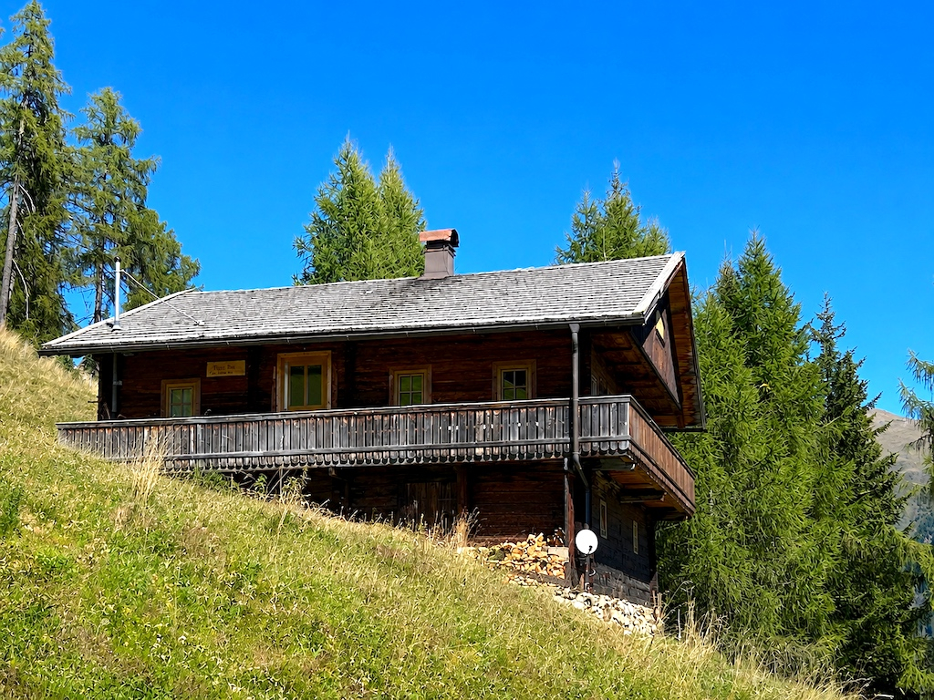
Rehblickhütte
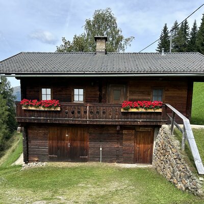
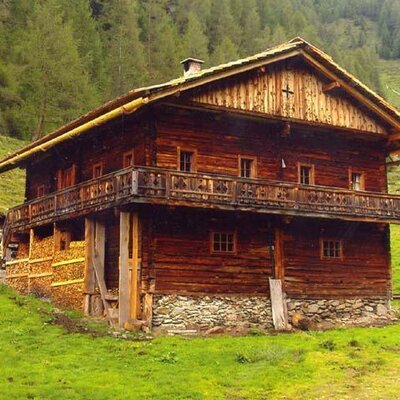
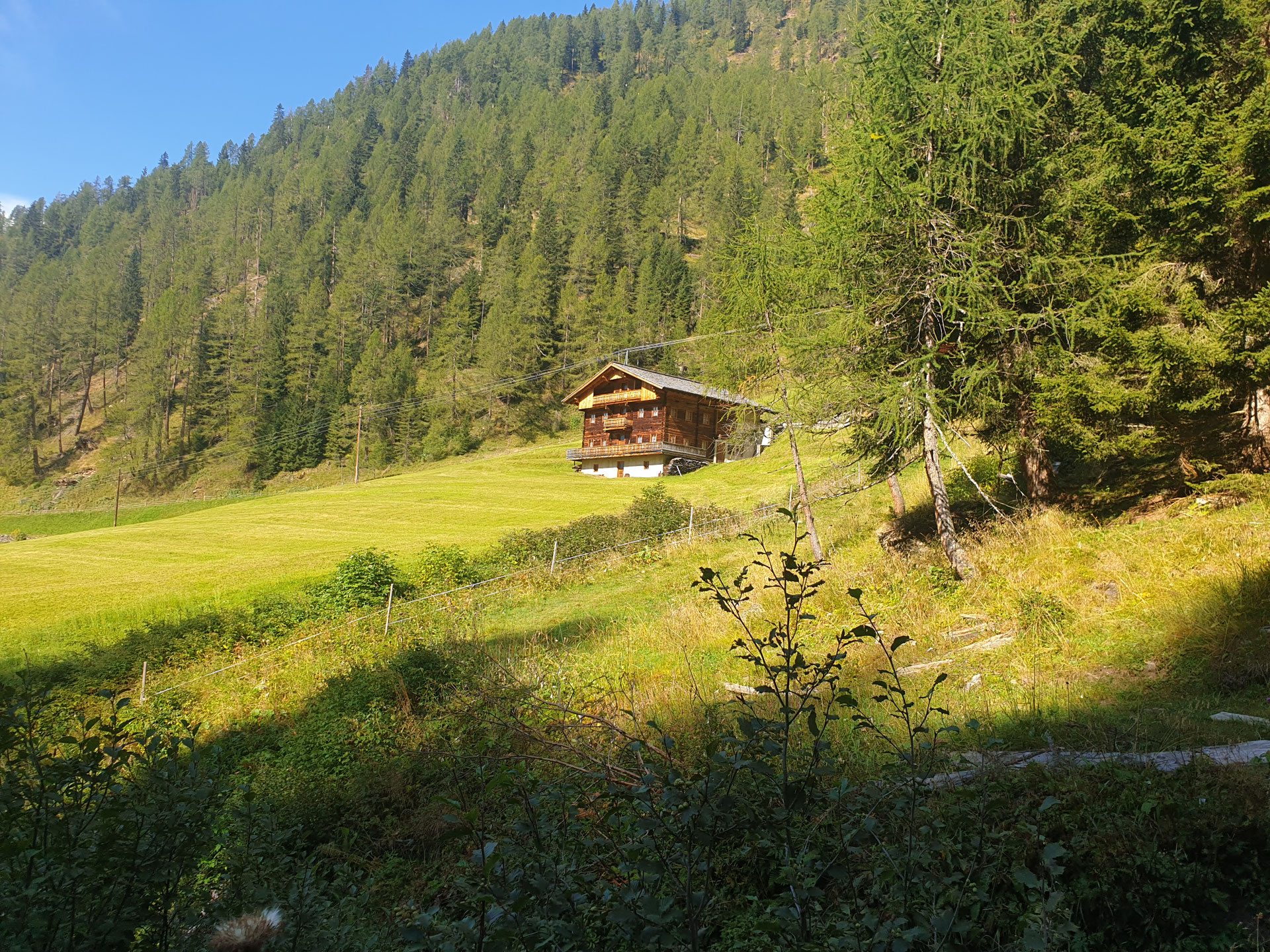
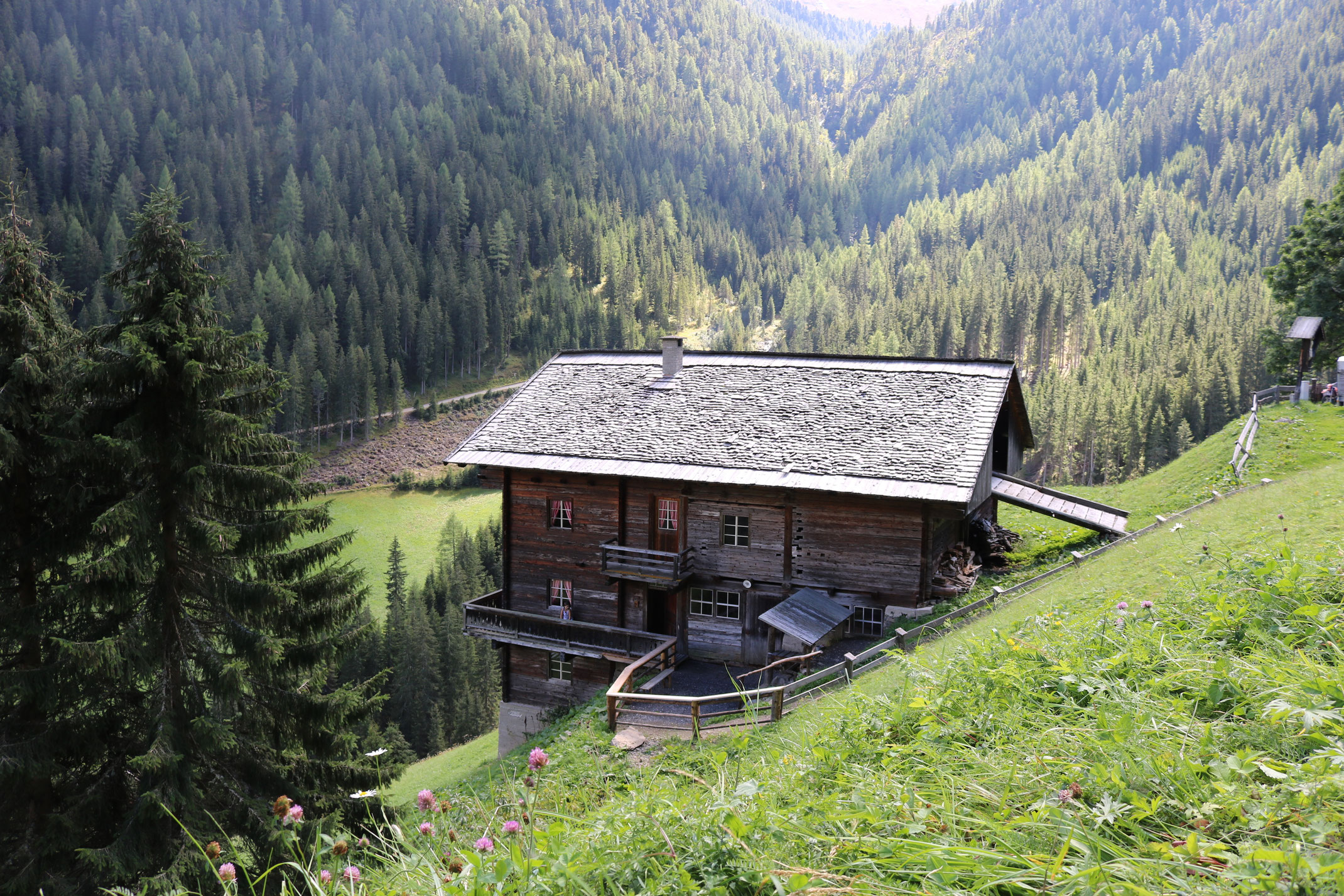
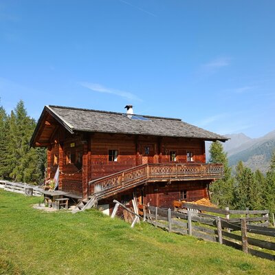
A hut above Außervillgraten whose name means deer view, a quiet base in the Villgraten mountains.
Die Brandalm
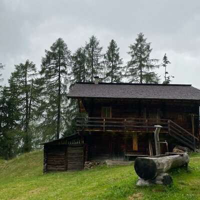
An alm hut above Außervillgraten in the Villgraten valley, run through the summer season as a stop for walkers.
Außermitterwurzen
A remote alm hut above Außervillgraten, its name placing it among the Wurzen pasture holdings of the Villgraten mountains.
Geiregg-Alm
An alm hut in the grazing country above Außervillgraten, reached on foot through the Villgraten valley's slopes.
Lanzer Obheimat
A mountain hut above Außervillgraten whose name points to a farm's upper summer holding in the Villgraten mountains.
Lehenalm
An alm hut in the pastures above Außervillgraten, a plain summer building of the Villgraten mountains.
Oberkoflalm
An alm hut on the slopes above Außervillgraten, reached by farm tracks through the Villgraten grazing country.
Almhütte SCHMIDHOFALM
4.2 km away, in Innervillgraten
The alm hut of the Schmidhof farm above Innervillgraten, occupied through the summer grazing months.
Almhütte Thalefeld - Lanser Erwin
4.4 km away, in Innervillgraten
A privately owned alm hut on the Thalefeld pastures above Innervillgraten, typical of the valley's scattered summer huts.
Almhütte Thaletalm
4.6 km away, in Innervillgraten
An alm hut in the Thaletal pastures above Innervillgraten, a rustic base in the Villgraten mountains.
Oberhoferalm Steidl
6.2 km away, in Innervillgraten
A family-run alm hut above Innervillgraten, part of the Villgraten valley's living tradition of high-pasture farming.
Gissekammer
7.1 km away, in Innervillgraten
A traditional hut in the high meadows above Innervillgraten, one of the many small alm buildings of the Villgraten valley.
Riedlkaser
8 km away, in Sillian
A small alm dairy hut, or Kaser, belonging to the Riedlhof above Sillian in the Hochpustertal.
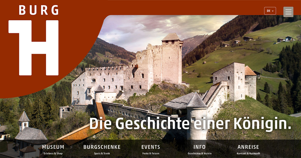
Burg Heinfels
8.2 km away, in Heinfels
A medieval castle above the Pustertal at Heinfels, reopened after restoration with exhibitions on the fortress and the region's history.
Badl-Alm 1.640 m
9.6 km away, in Innervillgraten
An alm hut at 1,640 m near Innervillgraten, a hospitable stop on walks through the Villgraten valley's high pastures.
Nothing of this kind in Außervillgraten.
Routes
3 Seen am Thurntaler
A short lake round at the Thurntaler above the Sillian lift station, connecting the Klammsee, the Schafsee and the Gadein tarn on easy high paths.
- 3.0 km
- Distance
- 167 m
- Ascent
- 1 h 11 min
- Duration
- 8
- Check-ins
 Gadein 2 093 m
 Klammsee 2 244 m
- Schafsee 2 260 m
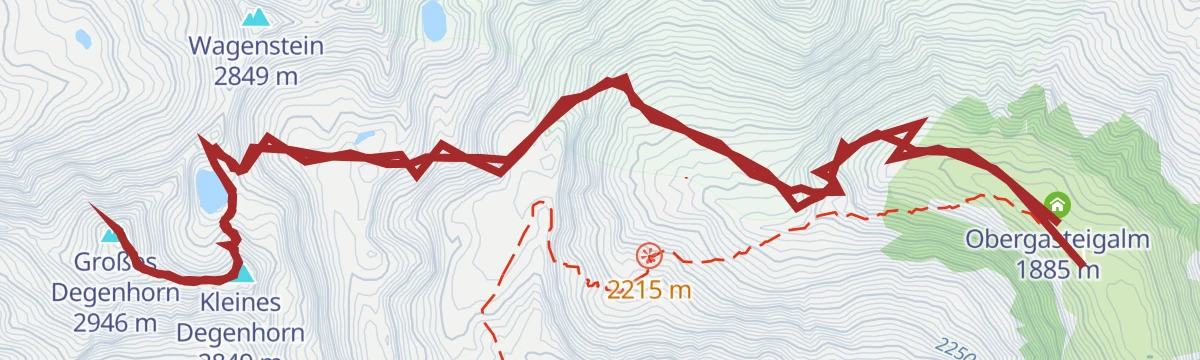
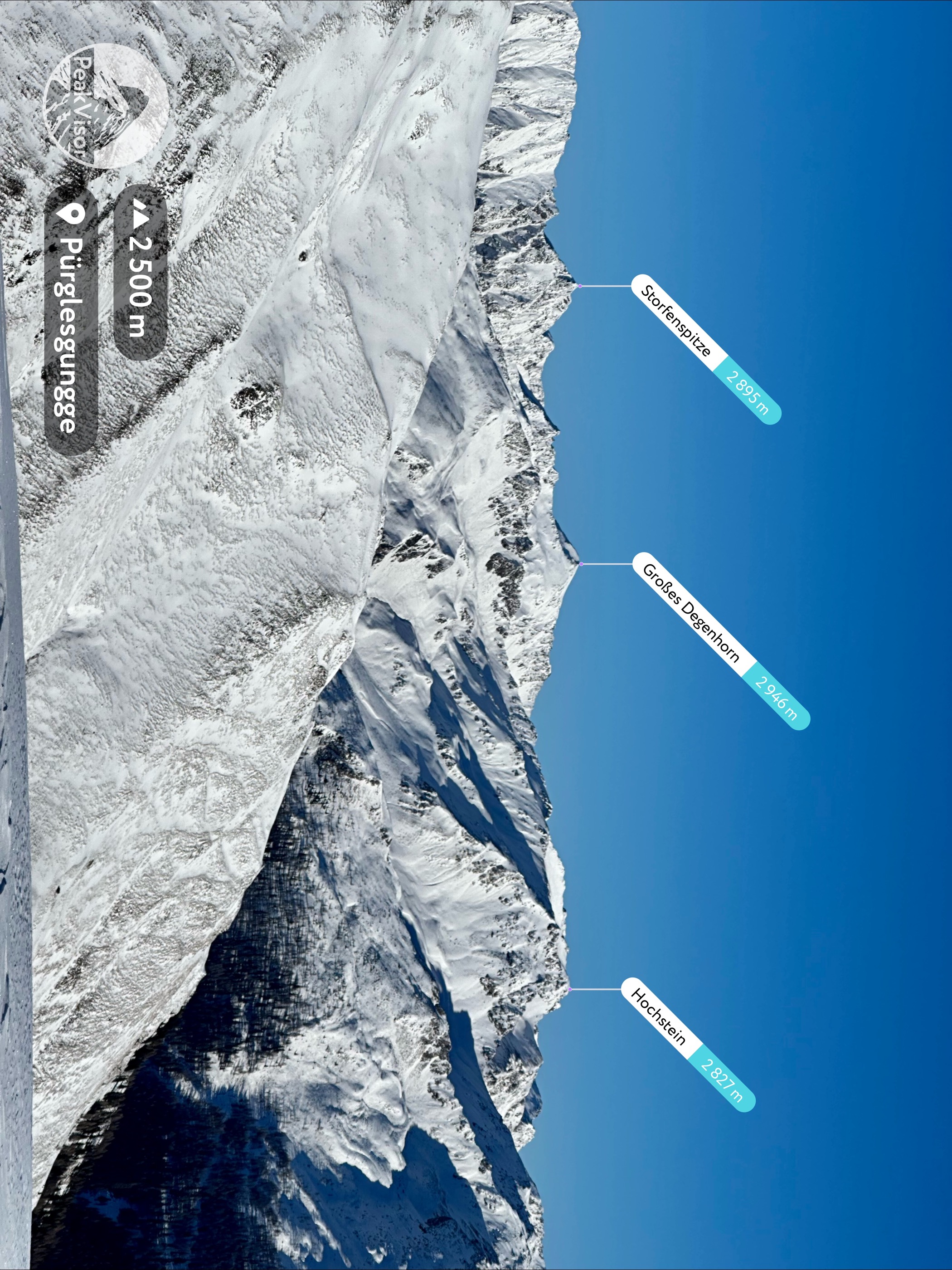
Wanderung zum Großen Degenhorn 2.946m
Ridge day from the Brunnalmbahn bus stop: past the Mooseralm and the Ochsenlenke to the Degenhornsee and a 2,946 m summit, with its smaller neighbour as a bonus.
- 10.3 km
- Distance
- 752 m
- Ascent
- 4 h 57 min
- Duration
- 14
- Check-ins
Gr. Degenhorn 2.946 m
From the Volkzeiner Hütte past the Degenhornsee to the Großes Degenhorn at 2,946 m, a remote Villgraten summit day with its smaller neighbour taken en route.
- 13.1 km
- Distance
- 1 230 m
- Ascent
- 7 h 40 min
- Duration
- 9
- Check-ins
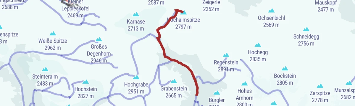
Skitour Hochalmspitze 2.797m
A classic Villgraten ski tour from the Winkeltal past the Volkzeiner Hütte to the Hochalmspitze at 2,797 m, finishing over the slopes of the Kleinitzer Törl.
- 7.5 km
- Distance
- 1 225 m
- Ascent
- 1 225 m
- Descent
- 4 h 7 min
- Duration
- 6
- Check-ins
Dorfblickweg
An easy loop above Außervillgraten with steady views back onto the village and its steep farm slopes — a short round well suited to arrival days.
- 4.6 km
- Distance
- 111 m
- Ascent
- 1 h 21 min
- Duration
Rund um den Thurntaler 2.400 m
Gondola-assisted circuit around Sillian's house mountain, from the top station over the Astatt Sattel and past Gadein, with a stop at the Thurntaler Rast.
- 9.8 km
- Distance
- 524 m
- Ascent
- 3 h 46 min
- Duration
- 12
- Check-ins
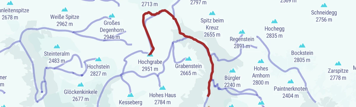
Königsweg der Herz-Ass Villgratental
Crown stage of the Villgratental circuit: from Innervillgraten past the Volkzeiner Hütte to the Sieben Seen and over the 2,951 m Hochgrabe, descending by the Thaletalm.
- 14.8 km
- Distance
- 1 560 m
- Ascent
- 9 h 30 min
- Duration
- 4
- Check-ins
 Hochgrabe 2 951 m
- Volkzeiner Hütte 1 884 m
- Sieben Seen 2 528 m
- Sieben Seen 2 567 m
- Almhütte Thaletalm 1 682 m
- Taletalm 1 810 m
- +2
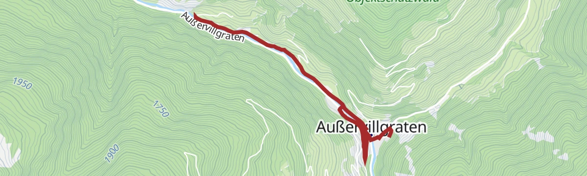
Skitour Hochgrabe 2.951m (über Außervillgraten)
A long winter route from Außervillgraten to the Hochgrabe at 2,951 m, a 1,400 m skin up through the alp levels of the Villgratental.
- 10.2 km
- Distance
- 1 422 m
- Ascent
- 1 422 m
- Descent
- 4 h 57 min
- Duration
- 3
- Check-ins
Wanderung zur Volkzeiner Hütte
A long but gentle valley walk in the Villgraten mountains to the Volkzeiner Hütte, passing a string of alps deep in the Winkeltal.
- 13.4 km
- Distance
- 386 m
- Ascent
- 4 h 6 min
- Duration
- 6
- Check-ins
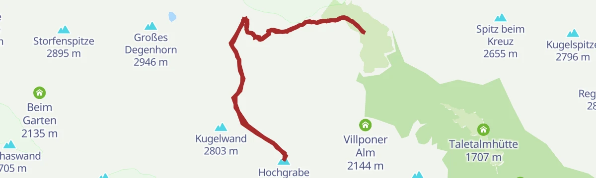
Hochgrabe 2.951m
From the Volkzeiner Hütte past the Obergasteigalm to the Hochgrabe at 2,951 m, one of the highest grass summits in the Villgraten mountains.
- 11.2 km
- Distance
- 1 057 m
- Ascent
- 6 h 35 min
- Duration
- 1
- Check-ins
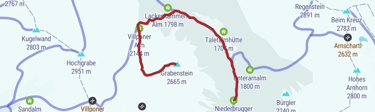
Skitour Grabenstein 2.665m
A ski tour from the Reiterstube side to the Grabenstein at 2,665 m, tagging the Sauspitze on a line past the Villponer Alm.
- 5.9 km
- Distance
- 1 062 m
- Ascent
- 1 062 m
- Descent
- 3 h 30 min
- Duration
- 2
- Check-ins
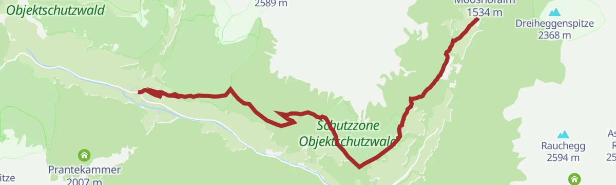
Oberweg der Herz-Ass Villgratental
The upper-side traverse of the Herz-Ass circuit in the Villgratental, a mid-height path above Innervillgraten with about 600 m of rolling climb.
- 11.1 km
- Distance
- 604 m
- Ascent
- 4 h 18 min
- Duration
- 1
- Check-ins
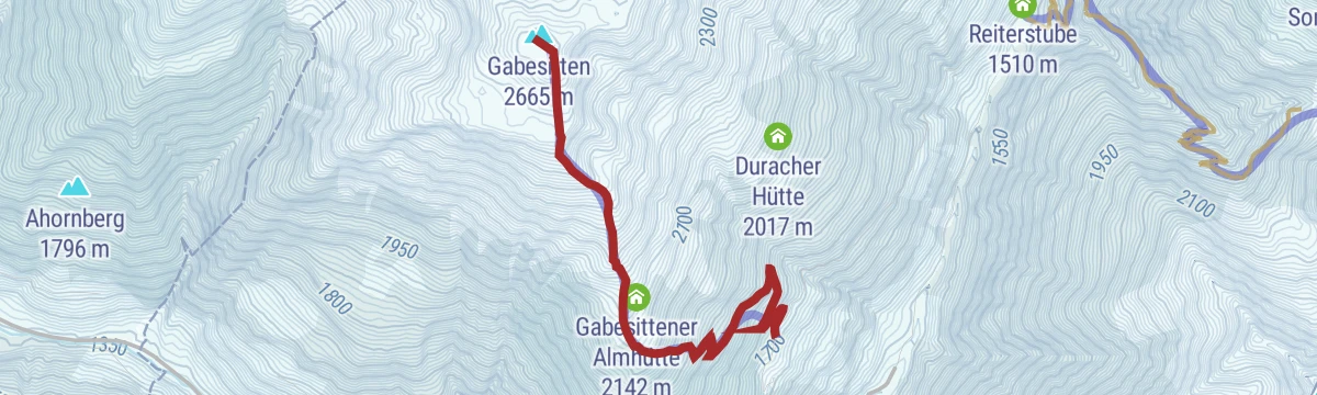
Skitour Gabesitten 2.665 m
A compact, steep ski tour from the Obwurzen farms to the Gabesitten at 2,665 m, nearly 1,000 m of ascent with a fall-line descent home.
- 4.2 km
- Distance
- 950 m
- Ascent
- 950 m
- Descent
- 2 h 60 min
- Duration
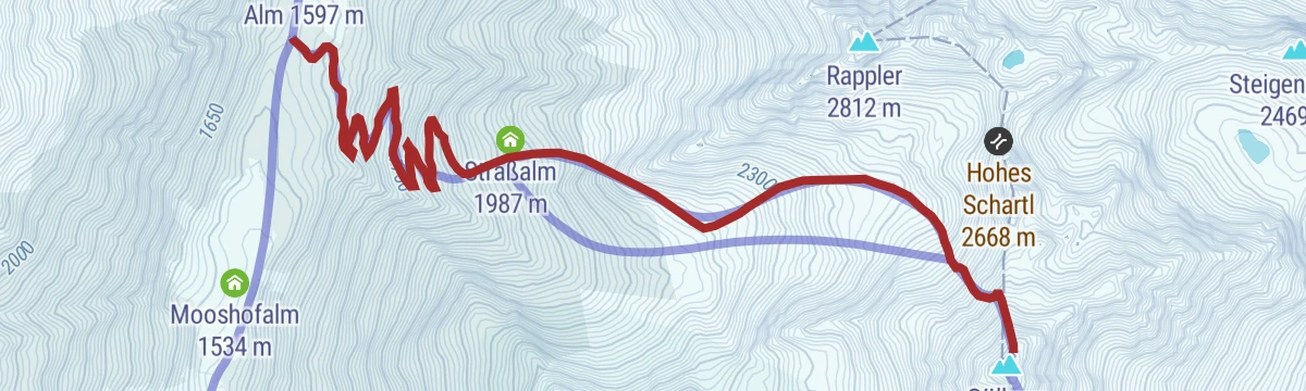
Skitour Gölbner 2.943m
The winter route onto the Gölbner at 2,943 m from the Villgraten side, a serious ski tour of nearly 1,400 m via the Straßalm.
- 5.5 km
- Distance
- 1 376 m
- Ascent
- 1 376 m
- Descent
- 4 h 16 min
- Duration
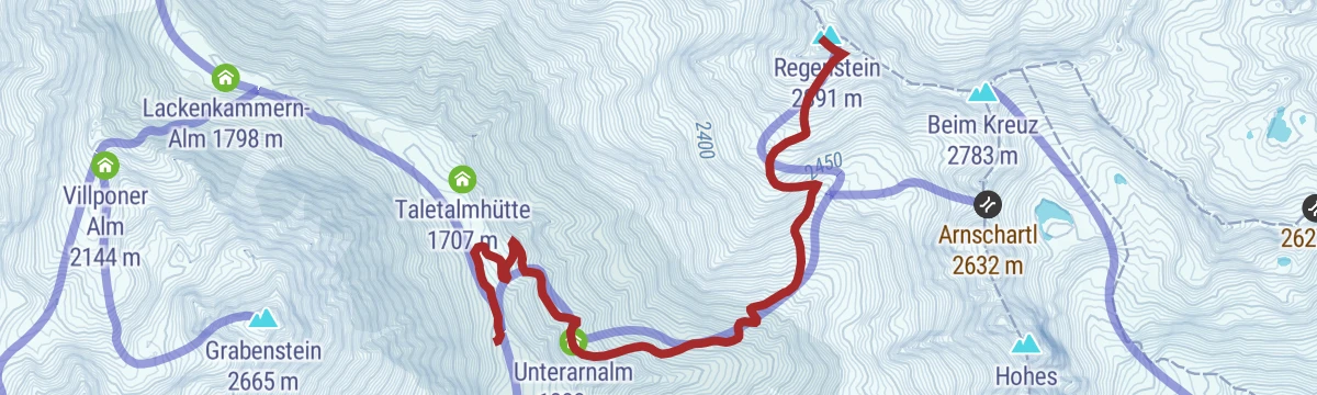
Skitour Regenstein 2.891m
A ski tour from Außervillgraten via the Unterarnalm to the Regenstein at 2,891 m, a long, steady skin to a high Villgraten viewpoint.
- 5.1 km
- Distance
- 1 248 m
- Ascent
- 1 248 m
- Descent
- 3 h 53 min
- Duration
No routes of this kind in Außervillgraten yet.
The region's own picks

Featured route
3 Seen am Thurntaler
A short lake round at the Thurntaler above the Sillian lift station, connecting the Klammsee, the Schafsee and the Gadein tarn on easy high paths.
Planning a trip to Außervillgraten?
Everything else Tyrol has, in one place


Take Außervillgraten with you into the mountains
Every route on this page with 3D terrain, GPX navigation and offline maps — including the valleys with no signal.
Data sources
- Official website: osttirol.com ↗
- Routes and highlights: Osttirol Tourismus
- Published as open data by the tourist boards named above.
- Region summary generated from the board's own material.
