
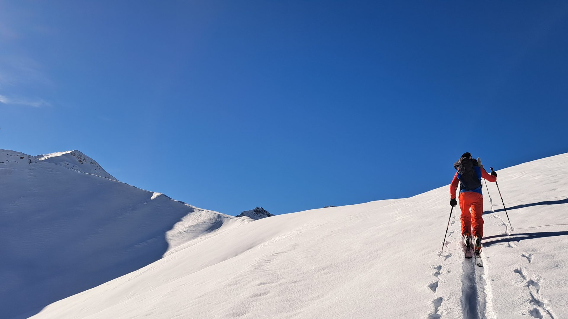
Curated by Vorarlberg Tourismus
Au
At 800 m below the grassy flank of the Kanisfluh, home of the Baroque master builders who worked as far as St Gallen.
- 7Highlights
- 42Routes
Highlights
8 from neighbouring places
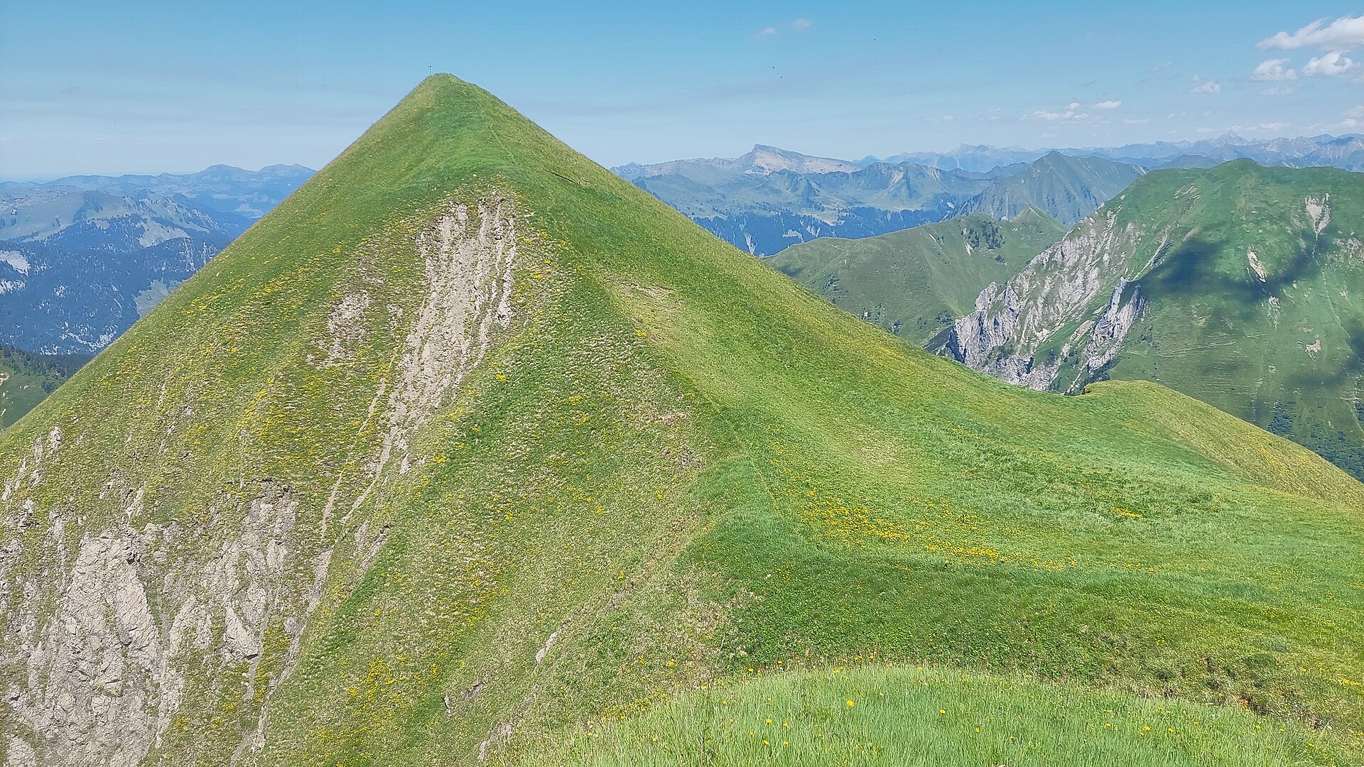
Grünes Gräshorn
A 2,201 m grass summit under 4 km south of the village, the nearest of the ridge tops to the valley.
Gungern
A 2,053 m top on the ridge that runs south from the village towards the Damüls mountains.
Holenke
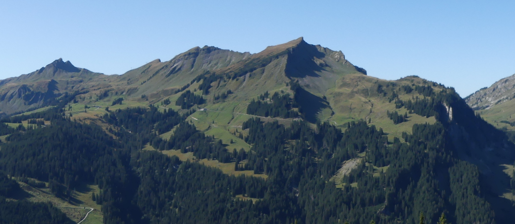
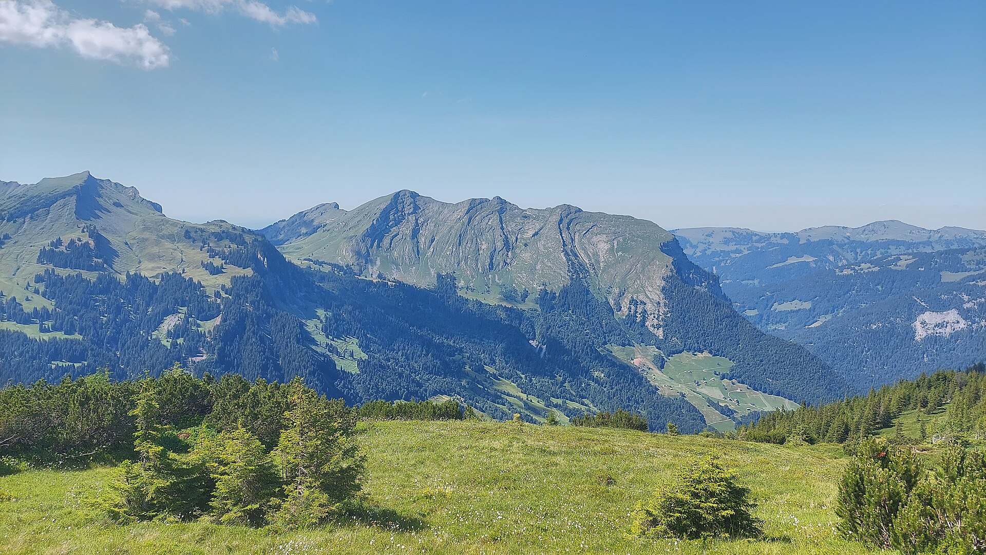
At 2,044 m the highest point of the Kanisfluh, the mostly isolated massif that is the landmark of the Bregenzerwald.
Korbschrofen
A 1,828 m rock top four and a half kilometres south-east of the village, on the way to the Gungern.
Runder Kopf
A 2,014 m top on the Kanisfluh ridge, less than a kilometre from its highest point.
Sonnenspitz
A 1,965 m top on the same Kanisfluh ridge, immediately above the village to the south.
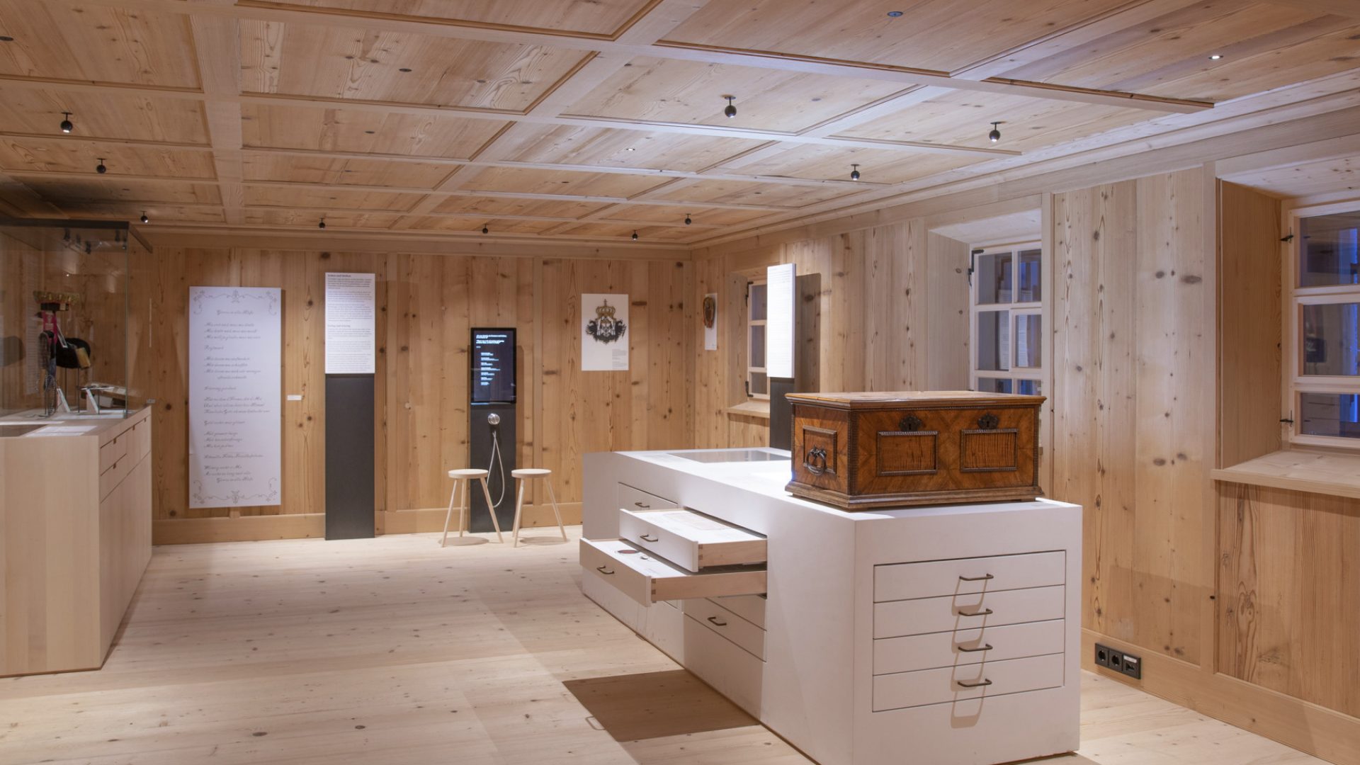
Barockbaumeister Museum in Au
A museum of the Baroque master builders of the Bregenzerwald, whose work reaches from Birnau to St Gallen and Ebersmünster.
Glattecker
3.9 km away, in Sonntag
A 2,403 m summit some 4.5 km south of the village, the highest point of the ridge that closes the valley head.
Zafernalpe
3.9 km away, in Fontanella
The alp on the south side of the Zafernhorn, passed on the round of the peak.
PeakVisor / OpenStreetMapBartholomäus Alpe
4.1 km away, in Fontanella
An alp above Fontanella where a cold drink and a plate of bread and cheese are always to be had.
Nägelefluhkopf
4.2 km away, in Sonntag
A 2,314 m top on the same high ridge, standing about 700 m from the Glattecker.
Hählesattel
4.3 km away, in Mellau
A saddle at 1,878 m on the high ground south of the village, on the way between the alps.
Hochscherefürggele
4.4 km away, in Sonntag
A high saddle on the crossing from Faschina to Buchboden, one of the hardest walks here.
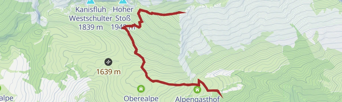
Hoher Stoß
4.5 km away, in Schnepfau
A 1,948 m summit on the same southern ridge, below the higher tops of the Damüls group.
Hochlicht
4.5 km away, in Sonntag
One of the two summits on the round from Faschina, above the Blasenka.
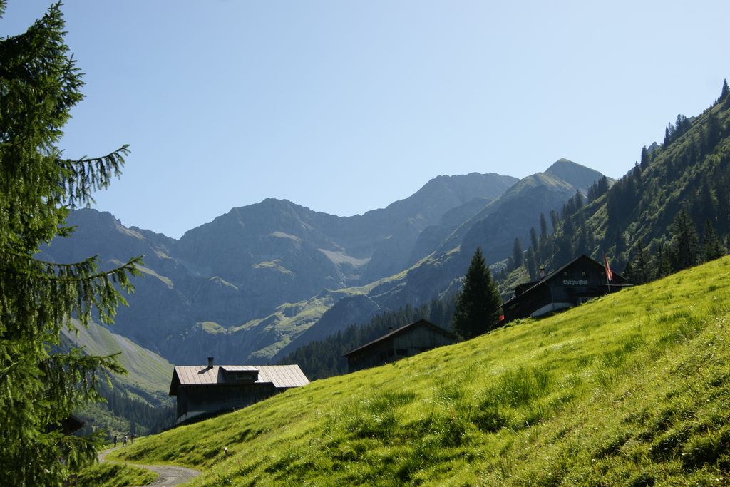
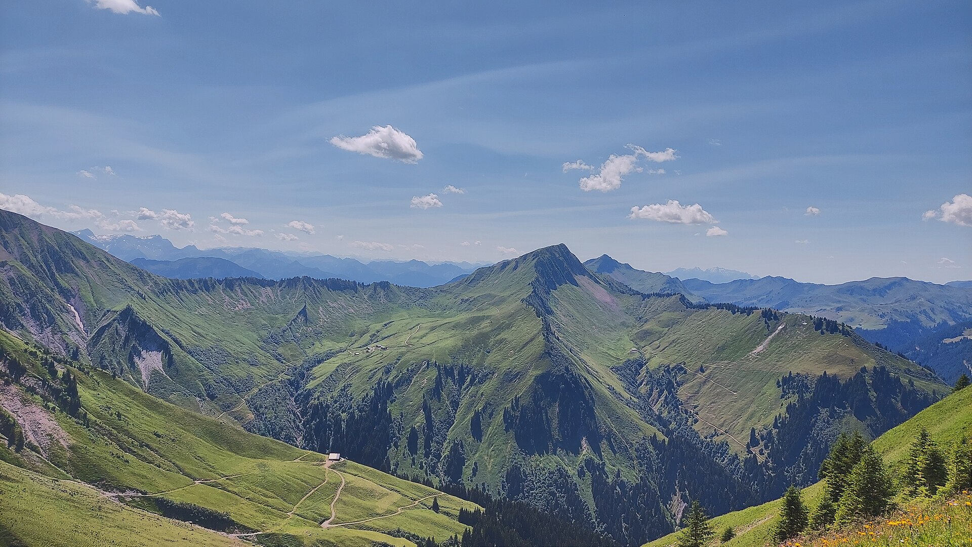
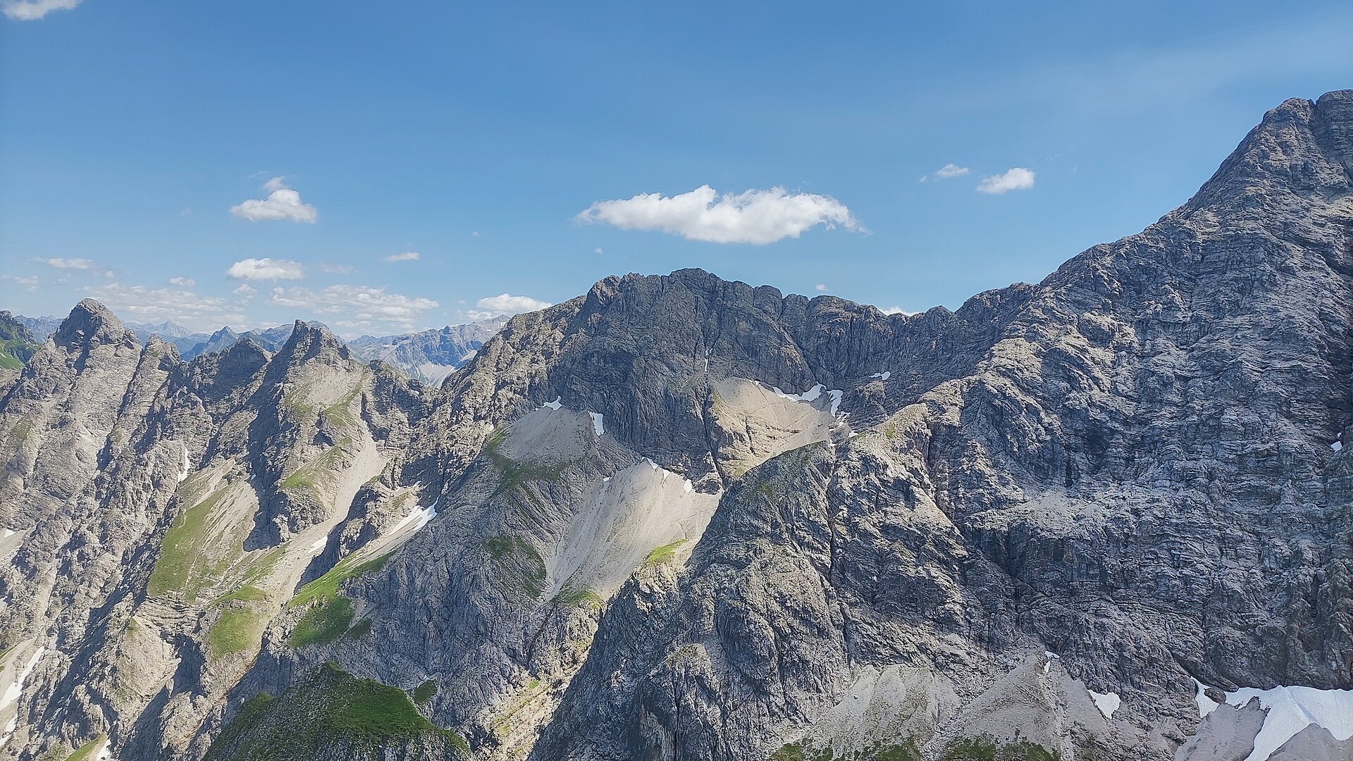
 Mountain hut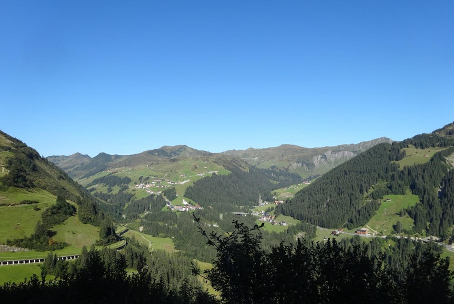
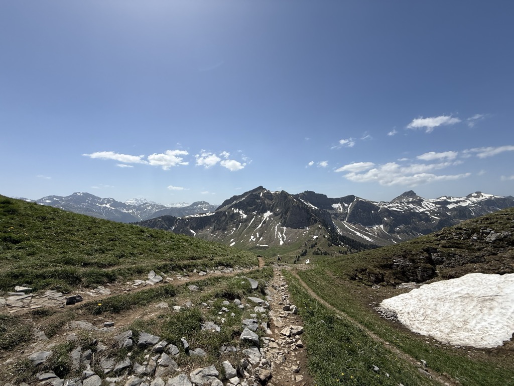
 Mountain pass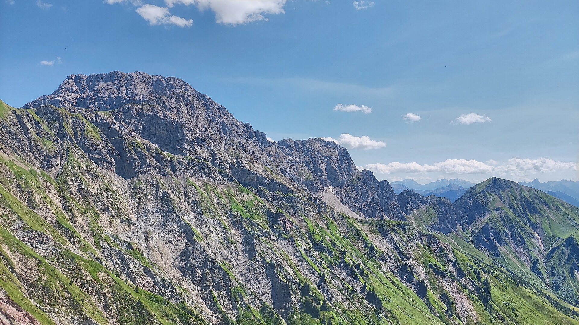
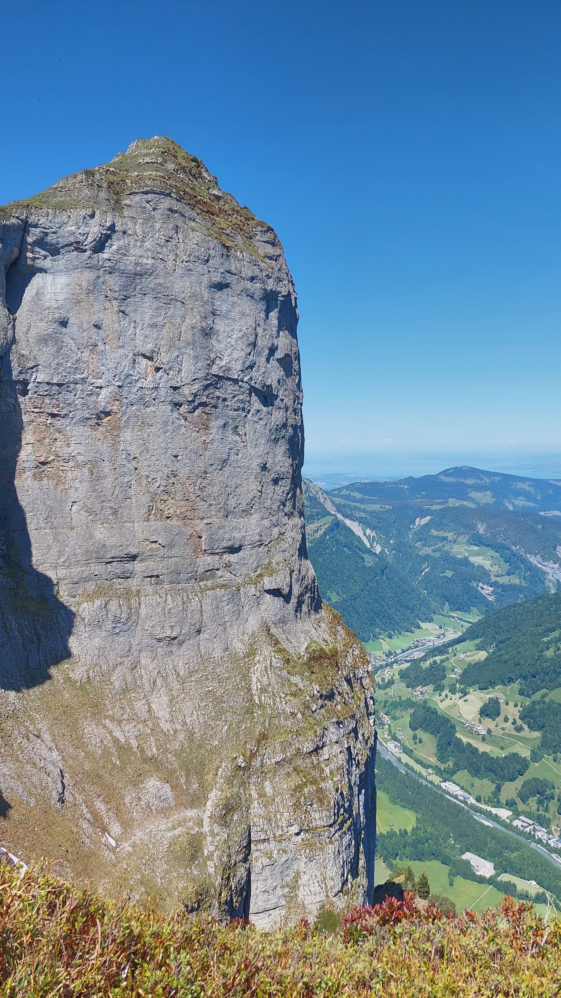
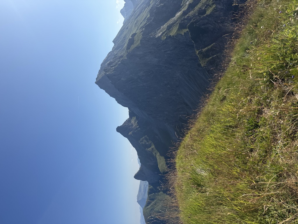
Nothing of this kind in Au.
Routes
Alpwandern | Damüls/Ugaalpe – Mellau/Rossstelle
A one-way crossing from Damüls over several staffed alps to the Roßstelle top station above Mellau.
- 10.2 km
- Distance
- 299 m
- Ascent
- 3 h 32 min
- Duration
Open route Vorarlberg TourismusAlpine Hüttenwanderung Bregenzerwald | Schadonagebiet (Etappe 1)
The opening day of the Schadona hut traverse, climbing out of Au into the Lechquellen mountains.
- 15.8 km
- Distance
- 1 004 m
- Ascent
- 6 h 3 min
- Duration
Open route Vorarlberg TourismusAu-Rehmen - Hirschberg
Hirschberg from Au-Rehmen: 839 m of climbing in 4.4 km, topping out at 1,621 m.
- 4.4 km
- Distance
- 0 m
- Ascent
- 0 m
- Descent
- 1 h 4 min
- Duration
Open route PeakVisor tTRL (OpenStreetMap piste_type=skitour)Argenau - Grünes Gräshorn
From Argenau at 808 m, 1,468 m of ascent over 8.1 km to Grünes Gräshorn.
- 7.6 km
- Distance
- 0 m
- Ascent
- 0 m
- Descent
- 1 h 51 min
- Duration
Open route PeakVisor tTRL (OpenStreetMap piste_type=skitour)Au | Skitour Brendler Lug
The easy ski classic above Au, on north-facing slopes and forest clearings that come into their own after fresh snow.
- 4.9 km
- Distance
- 952 m
- Ascent
- 0 m
- Descent
- 2 h 38 min
- Duration
Open route Vorarlberg TourismusSt. Anton - Lech - Bregenzerwald - Bodensee
A long road stage crossing the Arlberg, the Flexenpass and the Losenpass on the way from Tirol down to the shore of Lake Constance.
- 87.4 km
- Distance
- 2 340 m
- Ascent
- 9 h 57 min
- Duration
- 175
- Check-ins
Alpwandern |Schnepfau – Weißenbachtal – Au
Up the Weißenbachtal to the Alpe Weißenbach, the view opening in every direction from the Sattelalpe, then down to Au.
- 14.3 km
- Distance
- 880 m
- Ascent
- 5 h 58 min
- Duration
Open route Vorarlberg TourismusAlpine Hüttenwanderung Bregenzerwald | Schadonagebiet (Etappe 2)
The second day of a three-day hut traverse of the Schadona area in the Lechquellen mountains.
- 9.2 km
- Distance
- 1 107 m
- Ascent
- 5 h 28 min
- Duration
Open route Vorarlberg TourismusRehmen - Mittagsfluh
From Rehmen at 824 m, 788 m of ascent over 3.2 km to Mittagsfluh.
- 3.0 km
- Distance
- 0 m
- Ascent
- 0 m
- Descent
- 44 min
- Duration
Open route PeakVisor tTRL (OpenStreetMap piste_type=skitour)Damüls-Faschina | Skitour auf die Klippern (2.066 m)
An easy south-facing ski tour with wide views, starting from the car park at the Lauterbach bridge below Damüls.
- 3.9 km
- Distance
- 834 m
- Ascent
- 0 m
- Descent
- 2 h 15 min
- Duration
Open route Vorarlberg TourismusAu | Skitour Kanisfluh
The south side of the Kanisfluh, whose north wall drops over 1,200 m — a fine and in places steep ski tour.
- 5.8 km
- Distance
- 1 206 m
- Ascent
- 0 m
- Descent
- 3 h 17 min
- Duration
Open route Vorarlberg Tourismus40 Jahre Bodensee-Radweg: Den Bregenzerwald entdecken
A ride along the Bregenzerache that can be combined with the R1 cycle bus, past old Wälder houses and new timber buildings.
- 47.1 km
- Distance
- 596 m
- Ascent
- 4 h 47 min
- Duration
Open route Vorarlberg TourismusAu | Sonnenauf- und Sonnenuntergangswanderung auf die Kanisfluh
A pre-dawn or evening climb from the Alpengasthof Edelweiß to the 2,044 m Kanisfluh, the landmark of the Bregenzerwald.
- 5.4 km
- Distance
- 555 m
- Ascent
- 3 h 23 min
- Duration
Open route Vorarlberg TourismusAu | Zitterklapfen (2.403 m)
From Au-Argenau by the Bergkristallhütte and the Annalperaualpe, then up past the scree to the 2,403 m summit.
- 20.4 km
- Distance
- 1 680 m
- Ascent
- 10 h 45 min
- Duration
Open route Vorarlberg TourismusUntertobel - Elsenkopf
A ski tour from Untertobel to Elsenkopf, 683 m of climbing in 3.2 km to a high point of 1,927 m.
- 2.6 km
- Distance
- 0 m
- Ascent
- 0 m
- Descent
- 37 min
- Duration
Open route PeakVisor tTRL (OpenStreetMap piste_type=skitour)Au | Von Au nach Damüls
A demanding climb past the Argen and Bödmen alps to Damüls, returning to Au on gravel and tarmac.
- 33.1 km
- Distance
- 1 362 m
- Ascent
- 4 h 13 min
- Duration
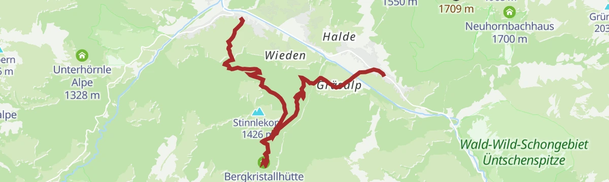
Open route Vorarlberg TourismusAu-Schoppernau | Bergkristallhütte über Tobelalpe
A short round from Schoppernau over the Dürrenbach to the Bergkristallhütte, coming back by the Tobelalpe.
- 10.5 km
- Distance
- 559 m
- Ascent
- 4 h 1 min
- Duration
Open route Vorarlberg TourismusAu – Schoppernau | Kletternd auf den Zitterklapfen
The rocky Zitterklapfen at the head of the Dürrenbachtal, 2,403 m and one of the finest summits of the Bregenzerwald.
- 22.0 km
- Distance
- 1 929 m
- Ascent
- 12 h 10 min
- Duration
Open route Vorarlberg TourismusUntertobel - Gungern
From Untertobel at 1,242 m, 780 m of ascent over 4 km to Gungern.
- 3.6 km
- Distance
- 0 m
- Ascent
- 0 m
- Descent
- 52 min
- Duration
Open route PeakVisor tTRL (OpenStreetMap piste_type=skitour)Au-Schoppernau | Damülser-Runde
The Damüls round from Au, beginning with a steep pull above the Argenschlucht to the Argenvorsäß.
- 32.9 km
- Distance
- 1 336 m
- Ascent
- 4 h 10 min
- Duration
Open route Vorarlberg TourismusAu-Schoppernau | Wanderung über die Bergkristallhütte
Through a quiet high valley to the Bergkristallhütte, which looks straight across at the Zitterklapfen, then down to Au.
- 10.0 km
- Distance
- 412 m
- Ascent
- 3 h 23 min
- Duration
Open route Vorarlberg TourismusAu-Schoppernau | Bergkristall-Hütte – Annalp
A round through the Vorsäß Boden to the Annalperaualpe and the Annalp, deep under the Zitterklapfen.
- 18.8 km
- Distance
- 923 m
- Ascent
- 6 h 47 min
- Duration
Open route Vorarlberg TourismusAu-Schoppernau | Schönenbach – Schreiberesattel
A ride for strong legs from Au over the Stoggersattel to Schönenbach and back by the Schreiberesattel.
- 49.0 km
- Distance
- 1 906 m
- Ascent
- 6 h 9 min
- Duration
Open route Vorarlberg TourismusDamüls | Alphüttenwanderung Damüls-Mellau-Faschina – Teil 3
The third stage of the alp-hut walk, a high round from the Uga top station over five alps under the Kanisfluh ridge.
- 13.7 km
- Distance
- 857 m
- Ascent
- 5 h 53 min
- Duration
Open route Vorarlberg TourismusAu-Schoppernau | Lug
A round from the middle of Au by the Argenvorsäß to the Lug, returning over the Säckelalpe and the Brendleralpe.
- 20.5 km
- Distance
- 1 007 m
- Ascent
- 7 h 25 min
- Duration
Open route Vorarlberg TourismusAu-Schoppernau | Zafernhorn-Runde
A ride above the Argenschlucht, one of the finest gorges in Vorarlberg, then over the Faschinajoch and the Zafernalpe.
- 29.4 km
- Distance
- 1 362 m
- Ascent
- 3 h 54 min
- Duration
Open route Vorarlberg TourismusDamüls | Rund um die Klippern
A lift-served circuit of the Klippern, passing the Damülser Mittagspitze and five working alps on the way round.
- 13.5 km
- Distance
- 759 m
- Ascent
- 5 h 22 min
- Duration
Open route Vorarlberg TourismusAu-Schoppernau | Panoramawanderung Annalper Joch
A wide round by the Brendleralpe and the Lug to the Annalper Joch at 1,997 m, back through the Dürrenbachtal.
- 20.2 km
- Distance
- 1 236 m
- Ascent
- 8 h 32 min
- Duration
Open route Vorarlberg TourismusBezau | Bezau – Schönenbach – Ostergunten – Au
A ride from Bezau by Bizau to Schönenbach, on over the Ostergunten sattel and down to Au.
- 38.5 km
- Distance
- 1 172 m
- Ascent
- 4 h 31 min
- Duration
Open route Vorarlberg TourismusDamüls | Von der Elsenalp zum Alpengasthaus Edelweiß
A descending traverse from the Uga top station across four alps to the Berggasthaus Edelweiß and the valley road.
- 11.0 km
- Distance
- 268 m
- Ascent
- 4 h 2 min
- Duration
Open route Vorarlberg TourismusAu-Schoppernau | Wanderung über die Tobelalpe zur Bergkristallhütte
The long version of the Bergkristallhütte walk, taken by way of the Tobelalpe and ending down in Au.
- 24.0 km
- Distance
- 1 016 m
- Ascent
- 8 h 9 min
- Duration
Open route Vorarlberg TourismusBike & Hike | Auf die Mittagspitze
The Damüls circuit by bike with the Mittagspitze added on foot at its highest point.
- 35.0 km
- Distance
- 1 682 m
- Ascent
- 4 h 44 min
- Duration
Open route Vorarlberg TourismusAu-Schoppernau | „Alpgang“ (große Runde)
The long version of the Alpgang theme trail, whose fourteen stations explain how the alp economy here works.
- 11.7 km
- Distance
- 922 m
- Ascent
- 5 h 57 min
- Duration
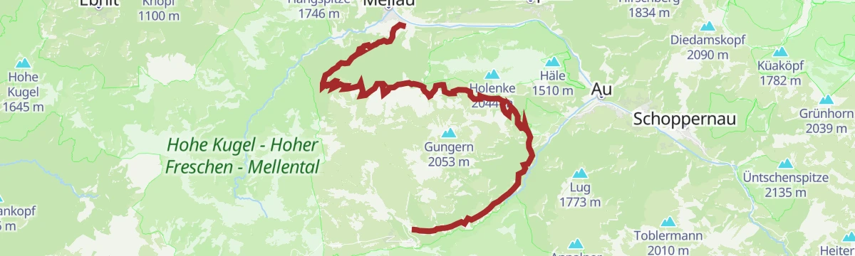
Open route Vorarlberg TourismusDamüls | Mellau nach Damüls
A climb from the Mellau valley station over the Roßstelle and the Alpe Kanis to Damüls, ending past the Edelweiß inn.
- 25.4 km
- Distance
- 1 487 m
- Ascent
- 3 h 29 min
- Duration
Open route Vorarlberg TourismusKäseweg Bregenzerwald | Schetteregg – Au (3. Etappe)
The third stage of the Käseweg, from Schetteregg over the Hammeratsberg vorsäß and Schönenbach down to Au.
- 20.4 km
- Distance
- 718 m
- Ascent
- 6 h 47 min
- Duration
Open route Vorarlberg TourismusDamüls | Rundtour um die Kanisfluh
A full lap of the Kanisfluh by road and alp track, over the Roßstelle and past the Berggasthaus Edelweiß.
- 44.4 km
- Distance
- 1 512 m
- Ascent
- 5 h 22 min
- Duration
Open route Vorarlberg TourismusDamüls | Rundtour zur Alpe Schönenbach
A long circuit from Damüls through the valley villages to the alp settlement of Schönenbach and back over Au.
- 47.7 km
- Distance
- 1 473 m
- Ascent
- 5 h 37 min
- Duration
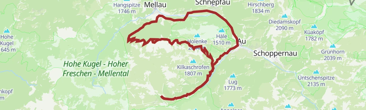
Open route Vorarlberg TourismusMellau | Kanisfluh „Klassiker“
The classic lap of the Kanisfluh, a demanding circuit of the mountain that stands over the whole Bregenzerwald.
- 32.9 km
- Distance
- 1 206 m
- Ascent
- 4 h 4 min
- Duration
Open route Vorarlberg TourismusMellau | Mellau – Au – Bergkristallhütte – (Annalpe)
Down the valley cycle path to Au, then a climb through the Bodenvorsäß to the Bergkristallhütte and back the same way.
- 38.4 km
- Distance
- 1 243 m
- Ascent
- 4 h 35 min
- Duration
Open route Vorarlberg TourismusRadweg Bregenzerwald
The valley cycle route from Schoppernau down to Doren, following the Bregenzerache the whole way.
- 39.4 km
- Distance
- 234 m
- Ascent
- 3 h 51 min
- Duration
Open route Vorarlberg TourismusRund ums Zafernhorn
A demanding mountain-bike round of the Zafernhorn with a singletrail on the way back.
- 30.4 km
- Distance
- 1 728 m
- Ascent
- 4 h 37 min
- Duration
Open route Alpenregion VorarlbergSchoppernau | Gravelbike-Runde um die Kanisfluh
A full lap of the Kanisfluh on gravel, mixing the valley cycle path with higher, more open sections before Au.
- 37.8 km
- Distance
- 1 150 m
- Ascent
- 4 h 27 min
- Duration
Open route Vorarlberg Tourismus









No routes of this kind in Au yet.
Planning a trip to Au?
Everything else Vorarlberg has, in one place


Take Au with you into the mountains
Every route on this page with 3D terrain, GPX navigation and offline maps — including the valleys with no signal.
Data sources
- Official website: bregenzerwald.at ↗
- Routes and highlights: Vorarlberg Tourismus, PeakVisor / OpenStreetMap, PeakVisor tTRL (OpenStreetMap piste_type=skitour), Alpenregion Vorarlberg, Bregenzerwald Tourismus, St. Anton am Arlberg
- Published as open data by the tourist boards named above.
