
 Viewpoint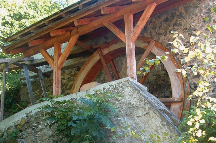
 Historic site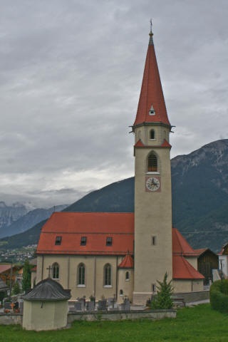


















Curated by Tourismusverband Pitztal
Arzl im Pitztal
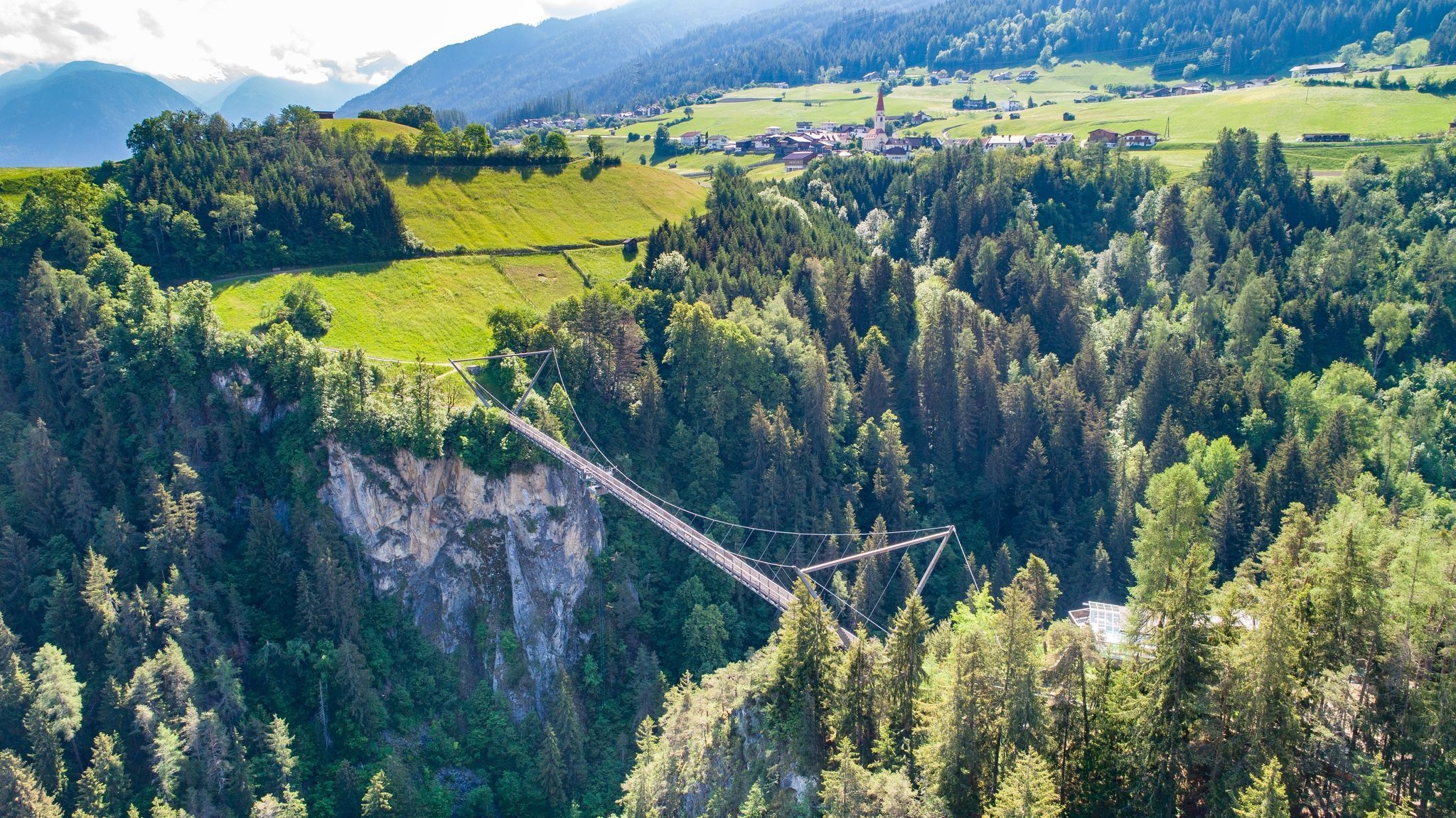
Gateway village of the Pitztal on a terrace above the gorge of the Pitze, spanned here by the Benni-Raich footbridge, one of Austria's highest bungee jumps.
- 10Highlights
- 81Routes
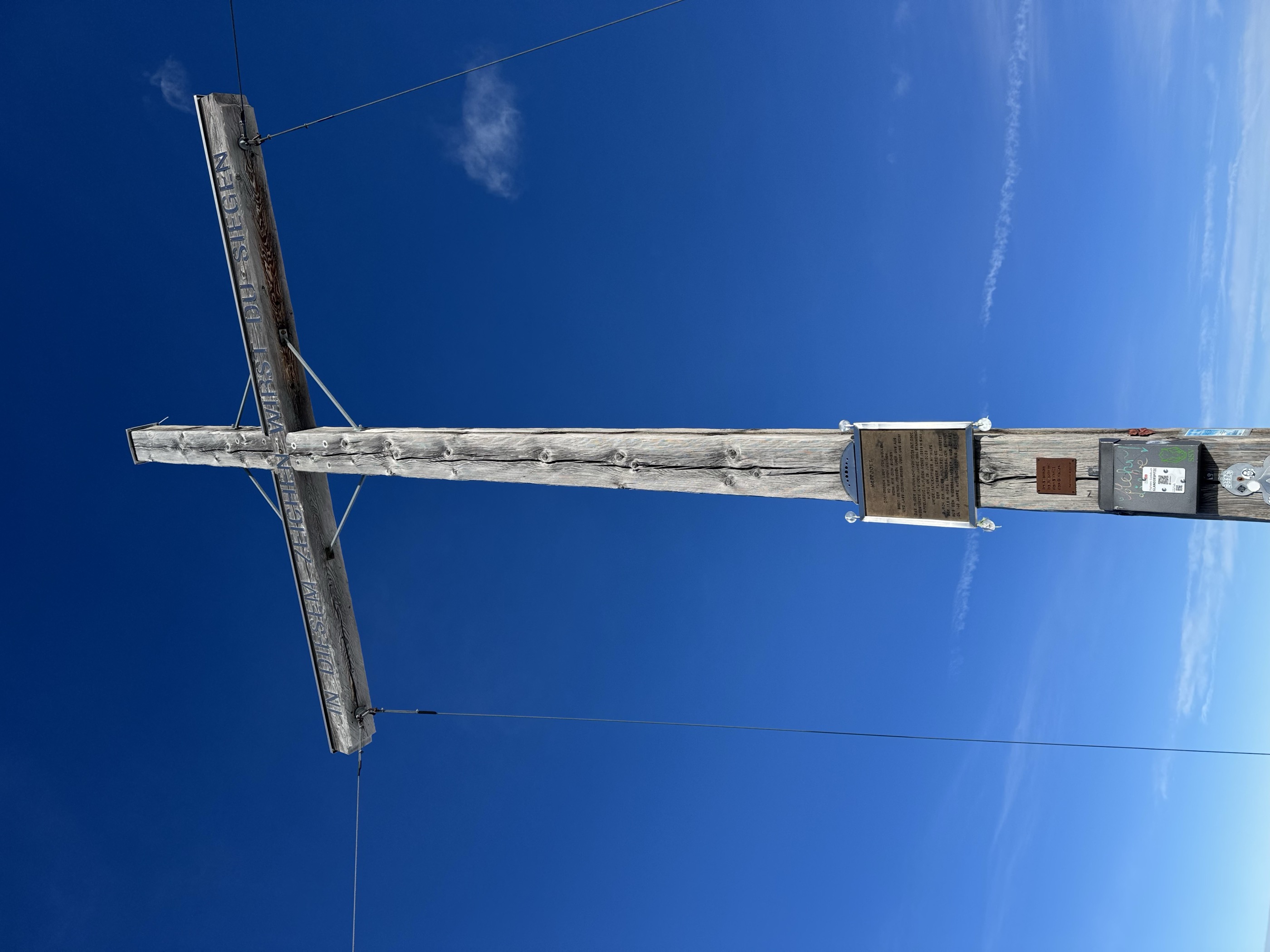
- Featured summit · Glanderspitze
Highlights
5 from neighbouring places
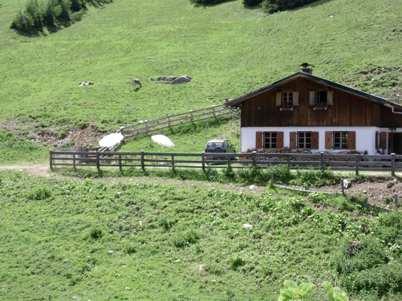
Hochaster Alm (1.756 m)
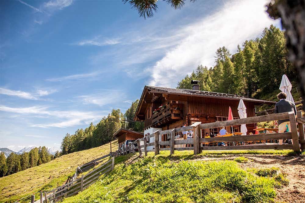
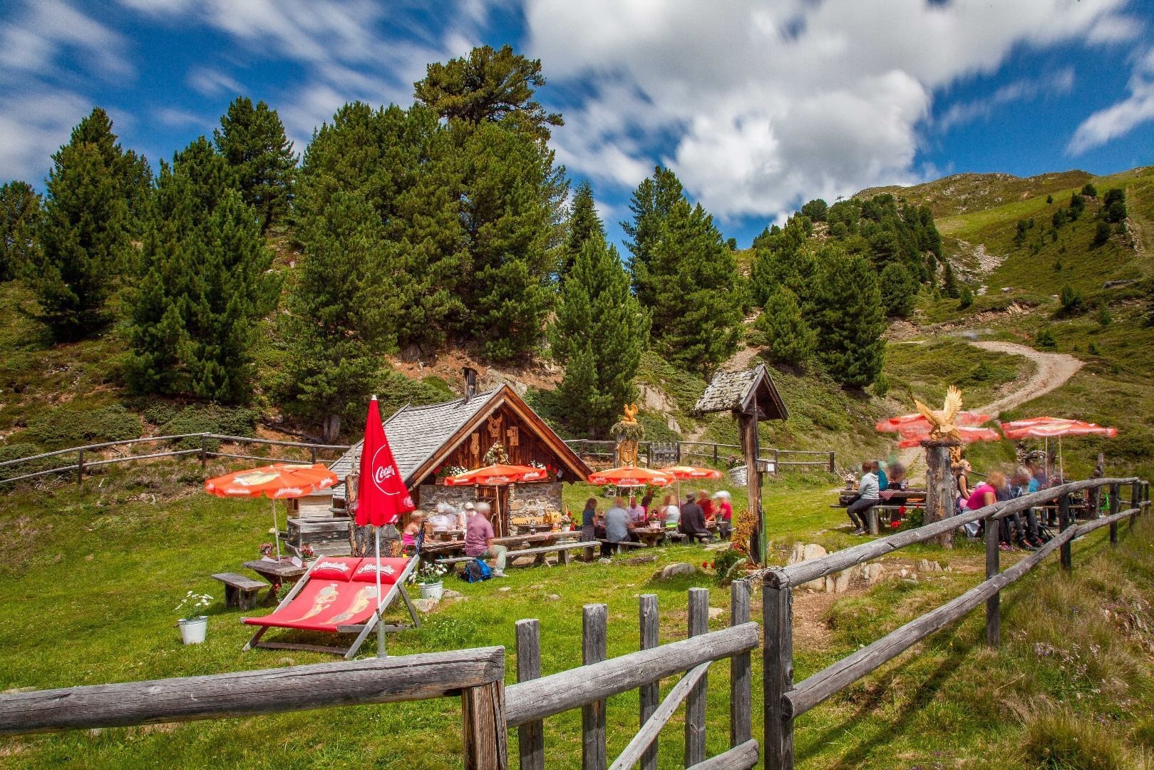
An alpine pasture at 1,756 m above Wenns, on the way up to the Venet.
Jausenstation Waldeck (1.200 m)
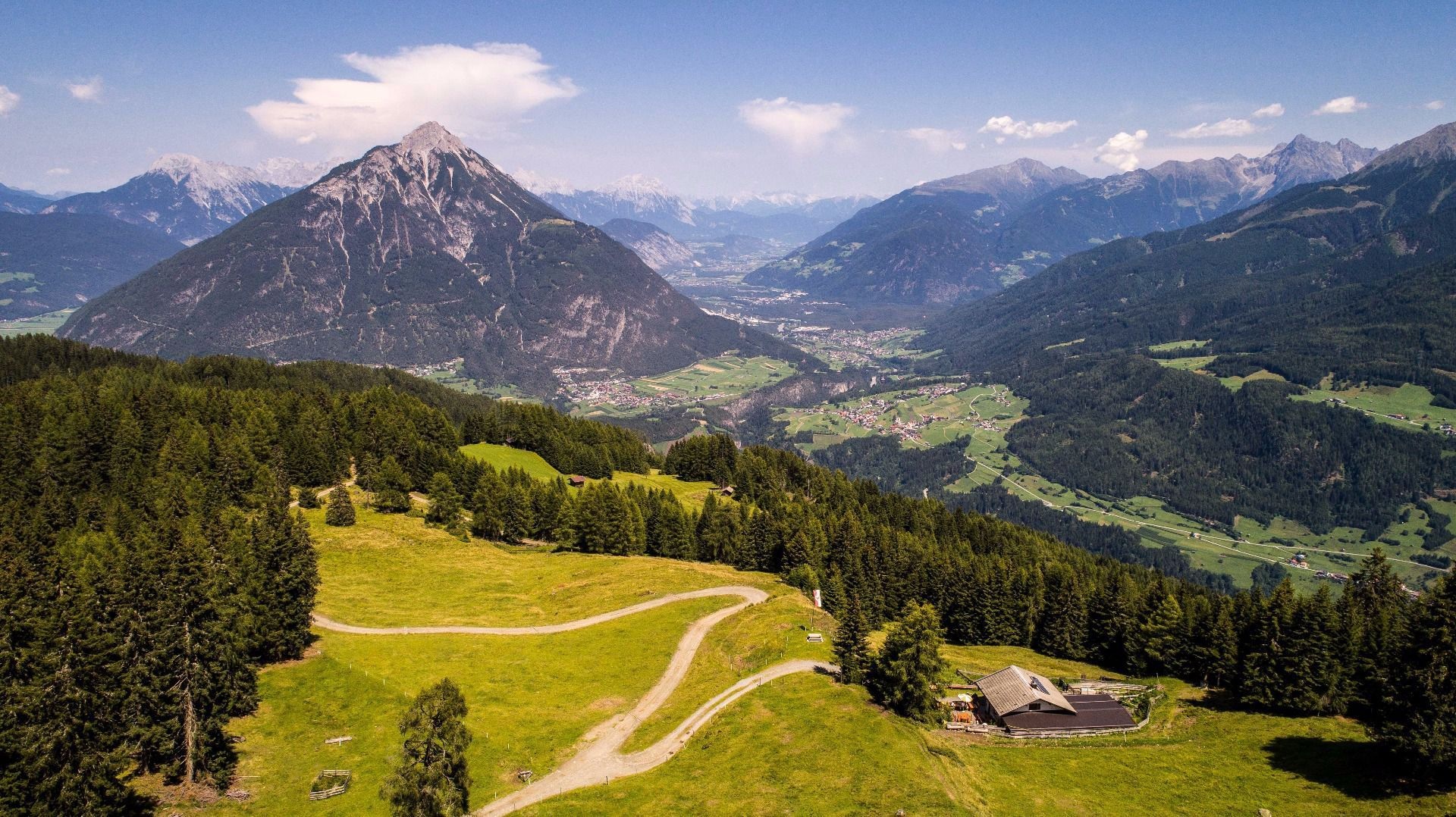
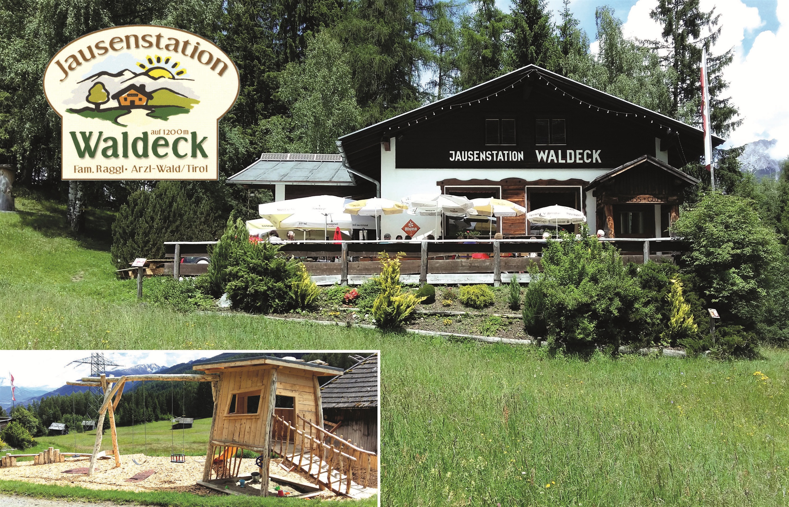
A snack station at 1,200 m on the wooded slope above Arzl.
Leiner Alm (1.823 m)
An alpine pasture at 1,823 m above Leins on the eastern slope.
Aussichtsplattform Adlerhorst
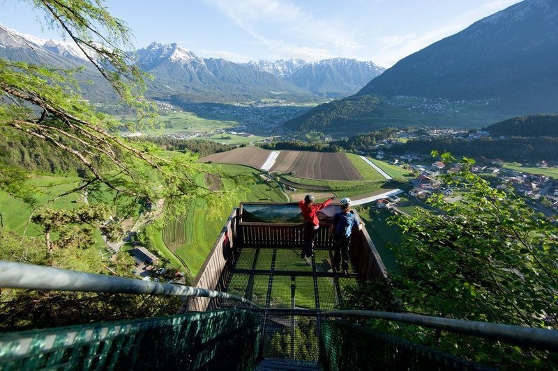
A viewing platform above Arzl, cantilevered over the slope with a view down the Inn valley.
Benni-Raich Brücke
A footbridge of 1995 spanning 137.7 m at a height of 94 m over the Pitze gorge, used for bungee jumping since 1997.
Getreidemühle im Weiler Arzl-Ried
A restored grain mill in the hamlet of Ried above Arzl, still turned by its own water channel.
Expositurkirche zum Hl. Thomas in Arzl Wald
The church of St Thomas serving the Wald hamlet above Arzl.
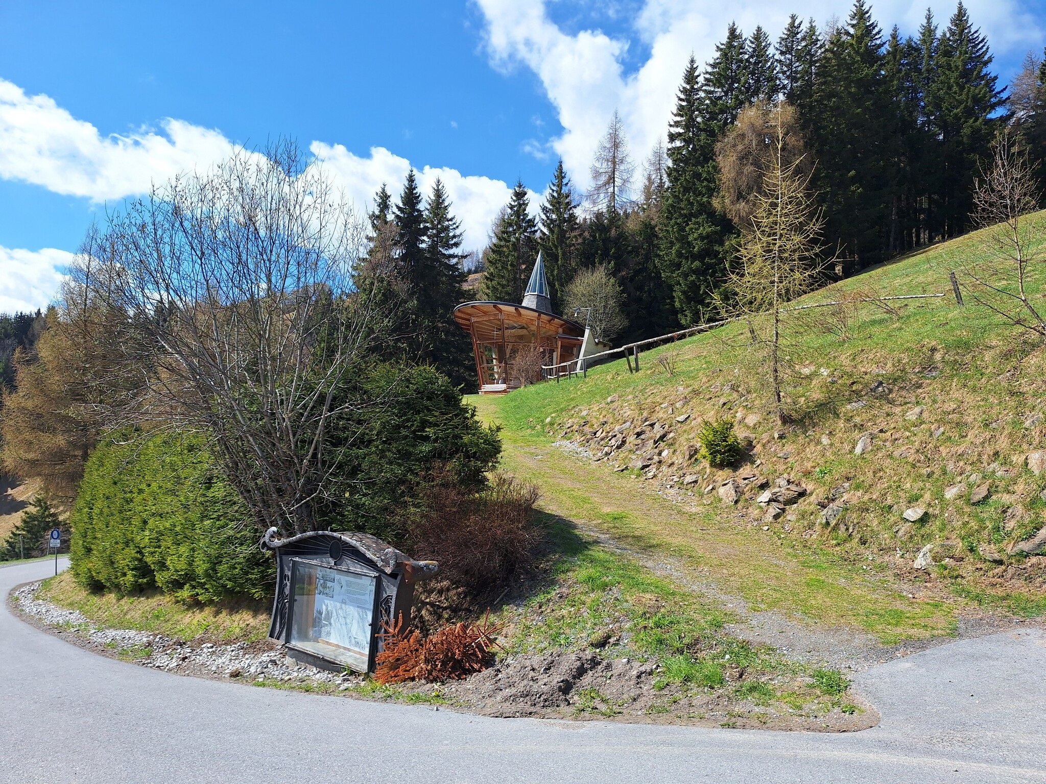
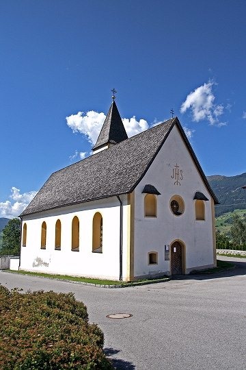
Meditationskapelle
A modern meditation chapel on the slope above Arzl, built as a quiet viewpoint rather than for services.
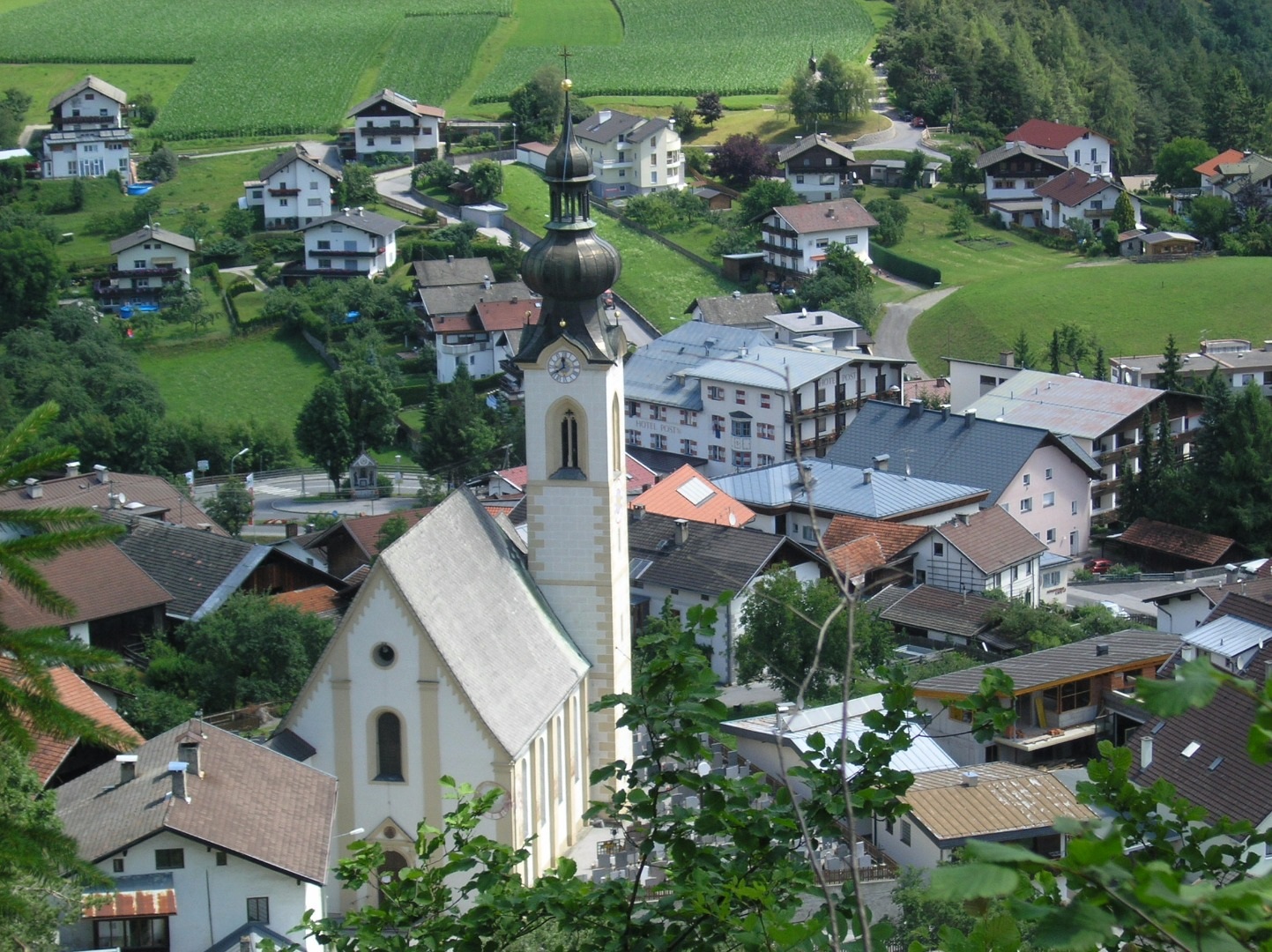
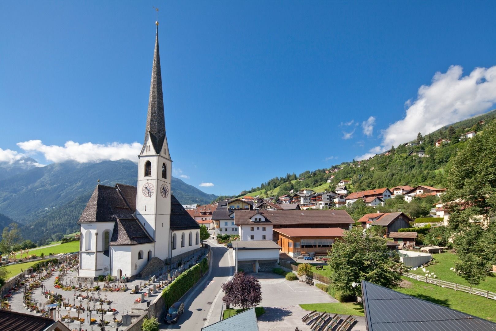
Pfarrkirche zu den Hl. Ingenuin und Albuin in Arzl Dorf
The parish church of Arzl, dedicated to the Bishops Ingenuin and Albuin.
Wallfahrtskapelle zu Ehren Unserer Lieben Frau Mariahilf in Arzl-Leins
A pilgrimage chapel at Leins above Arzl, dedicated to Our Lady of Succour.
Pfarrkirche zu Ehren des Hl. Evangelisten Johannes in Wenns-Dorf
3 km away, in Wenns
The parish church of Wenns, dedicated to St John the Evangelist.
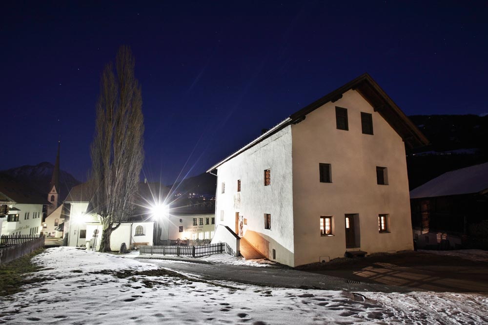
Museum Stamser Haus
3.2 km away, in Wenns
A local museum in a historic house at Wenns, covering the valley's farming and building traditions.
Vordere Wennerberg Alm (1.590 m)
3.5 km away, in Roppen
The lower of the two Wennerberg pastures, at 1,590 m above Arzl.
Kalbenalm (2.117 m)
3.6 km away, in Jerzens
An alpine pasture at 2,117 m on the Hochzeiger side above Jerzens.
Margarethen Kirche Wenns
3.8 km away, in Wenns
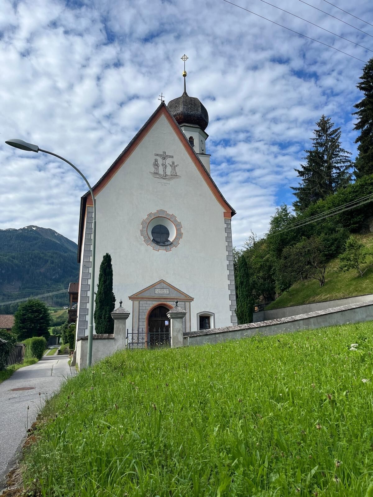
A second, older church at Wenns dedicated to St Margaret, on the southern edge of the village.
Nothing of this kind in Arzl im Pitztal.
Routes
50 routes, an even mix of activities · see the rest on pitztal.com ↗
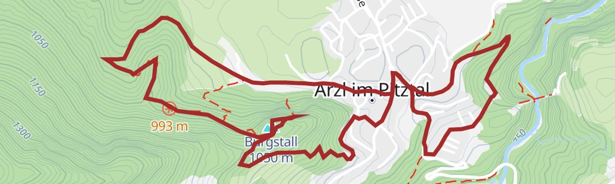
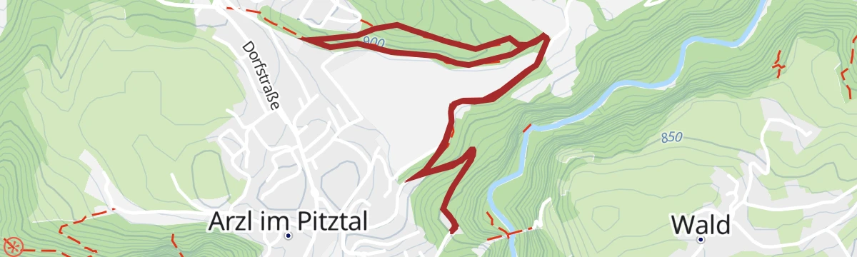
3) Burgstall - Adlerhorst
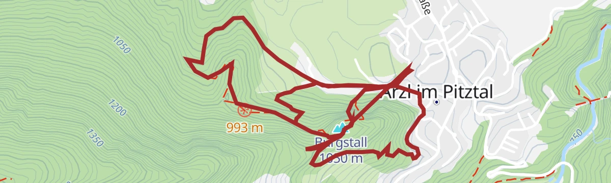
An easy loop above Arzl at the mouth of the Pitztal, rising gently over the Burgstall to the Adlerhorst lookout — barely any climbing, so it works as a family stroll with a summit feel.
- 4.0 km
- Distance
- 192 m
- Ascent
- 2 h 1 min
- Duration
- 2
- Check-ins
Steinwand - Arzl im Pitztal
A medium-grade via ferrata on the Steinwand crag above Arzl, with the wooded Burgstall top close by; its low altitude at the mouth of the Pitztal gives it a long season.
- 5.7 km
- Distance
- 402 m
- Ascent
- 3 h 54 min
- Duration
- 2
- Check-ins
Bergstation Doppelsesselbahn - Hochzeiger - Mittelstation
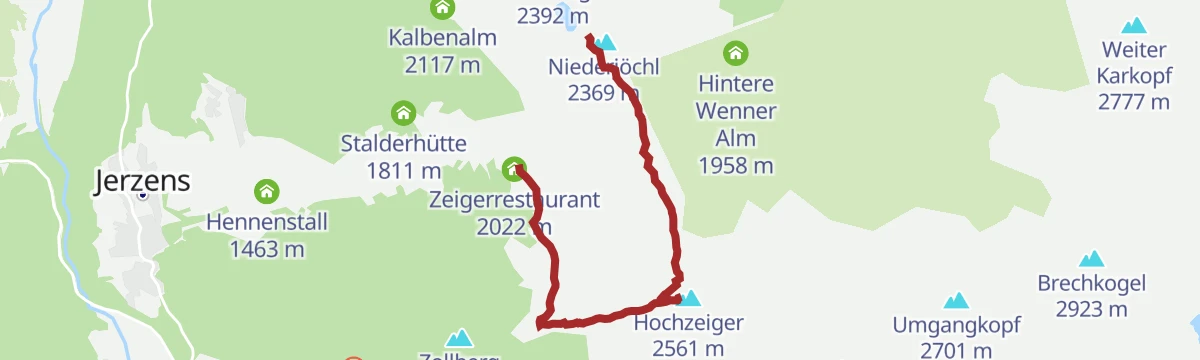
A downhill-friendly ridge walk from the top of the Hochzeiger lifts over the summit and the Niederjöchl, descending past the Zeigerrestaurant to the mid-station — big views for modest effort.
- 4.7 km
- Distance
- 239 m
- Ascent
- 2 h 22 min
- Duration
- 34
- Check-ins
Almenwanderung am Hochzeiger
A rolling alm-to-alm round in the Hochzeiger walking area, linking the Tanzalm, Kalbenalm and the huts near the mid-station with little climbing between refreshment stops.
- 8.3 km
- Distance
- 262 m
- Ascent
- 3 h 19 min
- Duration
- 41
- Check-ins
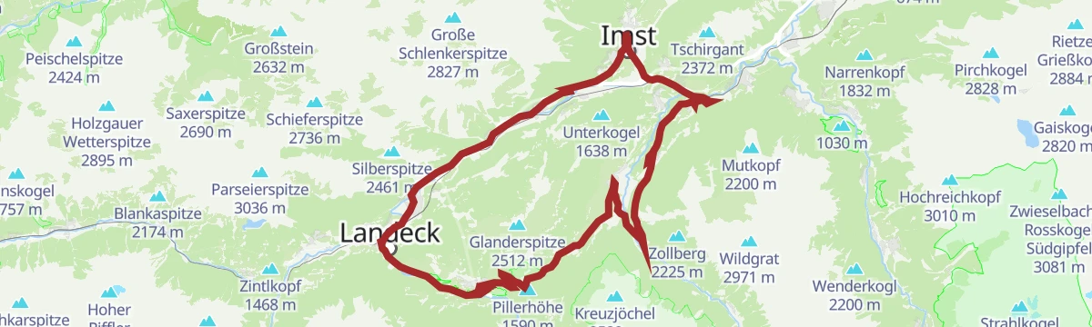
Venet-Rundwanderweg - Start Audershof/Wenns
A full circuit of the Venet massif from Audershof above Wenns, stringing together the Glanderspitze, Kreuzjoch and a chain of alms — Gogles, Larcher, Venetalm, Galflun — in one very long panoramic day.
- 26.0 km
- Distance
- 1 475 m
- Ascent
- 10 h 24 min
- Duration
- 55
- Check-ins
6061 | Steinbock Trail
A lift-served singletrack in the Hochzeiger area above Arzl, running between the top station at nearly 2,500 m and the Zeiger restaurant.
- 10.3 km
- Distance
- 453 m
- Ascent
- 1 h 37 min
- Duration
- 8
- Check-ins
Tour zum Rettenbachferner
A very long climb from the Ötztal up towards the Rettenbachferner above Sölden, topping out at the Restaurant Rettenbach at 2,666 m.
- 62.5 km
- Distance
- 2 326 m
- Ascent
- 7 h 5 min
- Duration
- 129
- Check-ins
Piller Runde
A long road loop over the Pillerhöhe, dropping to Prutz in the Inn valley and climbing again to Fiss, with over 2,000 m of ascent.
- 83.9 km
- Distance
- 2 090 m
- Ascent
- 9 h 25 min
- Duration
- 33
- Check-ins
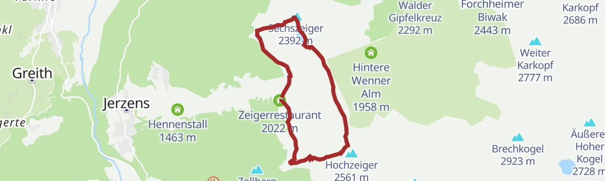
Bergstation Doppelsessellift - Sechszeiger - Mittelstation
A short, near-level link from the Sechszeiger top station down to the mid-station, passing the reservoir and the Zeigerrestaurant.
- 2.7 km
- Distance
- 31 m
- Ascent
- 1 h 6 min
- Duration
- 16
- Check-ins
 Sechszeiger 2 392 m
 Zeigerrestaurant 2 022 m
 Speicherteich Sechszeiger 2 358 m
Herbstwanderung am Hochzeiger
An autumn round through the Hochzeiger alm belt when the larches colour: the Tanzalm, Kalbenalm and the huts near the mid-station strung along a moderate, mostly gentle circuit.
- 8.3 km
- Distance
- 281 m
- Ascent
- 3 h 26 min
- Duration
- 41
- Check-ins
Venet-Rundwanderweg - Start Plattenrain/Arzl
The Venet circuit begun from Plattenrain above Arzl: a very long ridge-and-alm round over the Glanderspitze and Kreuzjoch, with the Gogles, Larcher, Venet and Galflun alms spaced along the way.
- 26.0 km
- Distance
- 1 476 m
- Ascent
- 10 h 24 min
- Duration
- 55
- Check-ins
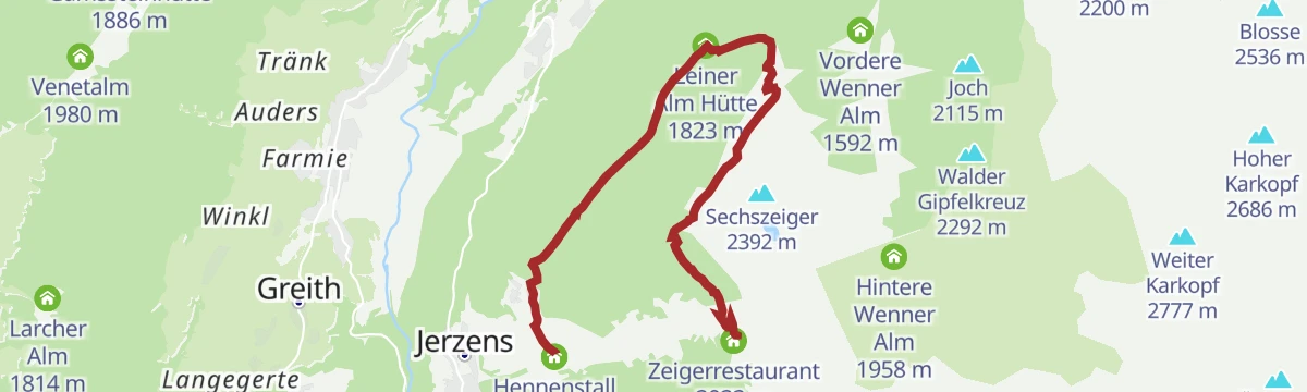
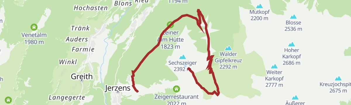
Kaitanger - Leiner Alm 6019
A mid-mountain forest-road climb above Jerzens, running up from the Kaitanger reservoir to the Leiner Alm hut.
- 6.9 km
- Distance
- 547 m
- Ascent
- 1 h 4 min
- Duration
- 1
- Check-ins
Graveltour Pitztal Panorama
A long, low-gradient tour along the Pitztal between Arzl and St. Leonhard, with barely 300 m of climbing spread over 40 km.
- 40.2 km
- Distance
- 1 287 m
- Ascent
- 4 h 25 min
- Duration
- 40
- Check-ins
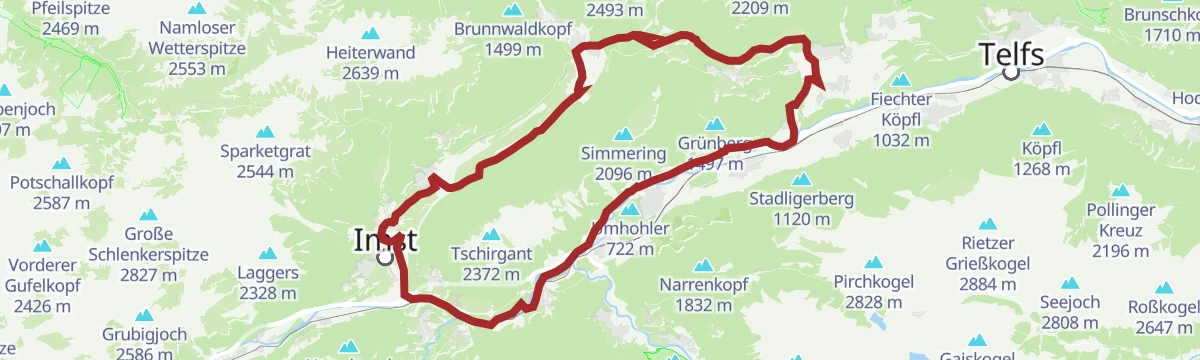
Tschirgantrunde
A road circuit around the massif between the Inn and Ötz valleys, climbing to Gasthaus Arzkasten before the run back down the river.
- 54.3 km
- Distance
- 986 m
- Ascent
- 5 h 45 min
- Duration
- 14
- Check-ins
Panoramawanderung mit Seilbahnunterstützung (Hochzeiger-Sechszeiger)
A lift-assisted 2.8 km ridge walk from the Hochzeiger over the Niederjöchl to the Sechszeiger, passing the reservoir.
- 2.8 km
- Distance
- 106 m
- Ascent
- 1 h 2 min
- Duration
- 16
- Check-ins
- Niederjöchl 2 369 m
- Sechszeiger 2 392 m
- Speicherteich Sechszeiger 2 358 m
Panoramatour Hochzeiger - Sechszeiger - Kalbenalm - Mittelstation
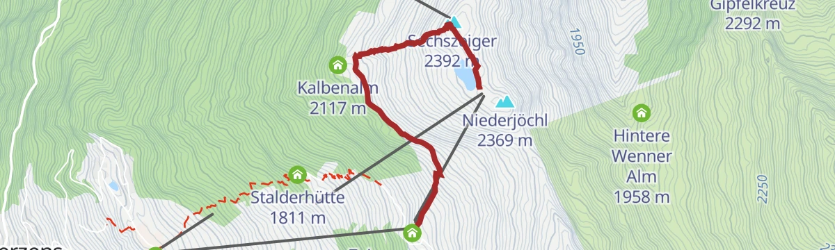
From the Hochzeiger over the Niederjöchl and Sechszeiger, then down past the Kalbenalm to the mid-station; 7.2 km with 581 m of ascent.
- 7.2 km
- Distance
- 546 m
- Ascent
- 3 h 32 min
- Duration
- 28
- Check-ins
- Niederjöchl 2 369 m
- Sechszeiger 2 392 m
- Zeigerrestaurant 2 022 m
- Zollbergschlepplift 2 223 m
- Speicherteich Sechszeiger 2 358 m
Krabichl - Leiner Alm - Sechszeiger - Kalbenalm - Krabichl
A 15 km circuit from Krabichl over the Sechszeiger with 1,246 m of ascent, calling at the Leiner Alm and Kalbenalm.
- 15.3 km
- Distance
- 1 186 m
- Ascent
- 7 h 41 min
- Duration
- 12
- Check-ins
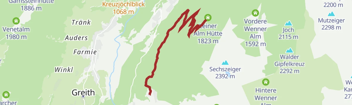
Variante 6019 Leiner Alm
An alternative line up to the Leiner Alm hut above Jerzens, shorter and steeper than the main forest-road approach.
- 5.3 km
- Distance
- 633 m
- Ascent
- 59 min
- Duration
- 1
- Check-ins
Pitztal Bike 614
A long valley route running the length of the Pitztal, from the upper hamlets at 1,670 m down past St. Leonhard towards the valley entrance.
- 39.9 km
- Distance
- 290 m
- Ascent
- 4 h 11 min
- Duration
- 40
- Check-ins
Mieminger Plateau Runde
A near-100 km road round out of the Inn valley, climbing to the terrace villages above Mieming and past Gasthaus Arzkasten.
- 97.1 km
- Distance
- 1 138 m
- Ascent
- 9 h 41 min
- Duration
- 12
- Check-ins
5) Burgstall - Adlerhorst
An easy 5.7 km walk over the Burgstall to the Adlerhorst above Arzl, with 321 m of climbing.
- 5.7 km
- Distance
- 300 m
- Ascent
- 2 h 9 min
- Duration
- 2
- Check-ins
Bergstation Doppelsesselbahn - Wennerberg - Talstation
A 13.5 km descent from the chairlift top station over the Niederjöchl and Wennerberg, passing the Kaitanger reservoir and the Hintere Wenner Alm.
- 13.5 km
- Distance
- 337 m
- Ascent
- 4 h 57 min
- Duration
- 23
- Check-ins
- Niederjöchl 2 369 m
- Hennenstall 1 463 m
- Liss Schirmbar 1 460 m
- Egger Lounge 1 457 m
- Speicherteich Kaitanger 1 435 m
- Leiner Alm Hütte 1 823 m
- +2
Jakobsweg
Stage 11 of the Way of St James through Tirol, 27.6 km from Roppen down the Inn valley to Zams, passing the Gasthof Kronburg.
- 27.6 km
- Distance
- 975 m
- Ascent
- 8 h 49 min
- Duration
- 7
- Check-ins
Gravelrunde Tschirgantmassiv
A gravel circuit right around the Tschirgant massif, passing the Rafting Alm on the Inn and the mouth of the Pitztal.
- 56.0 km
- Distance
- 691 m
- Ascent
- 5 h 37 min
- Duration
- 20
- Check-ins
Haimingerberg Sattele
A long 68.2 km loop Imst – Haiming – Haimingerberg – Sattele – Ochsengarten – Oetz and back, with 1,415 m of climbing.
- 58.6 km
- Distance
- 2 095 m
- Ascent
- 7 h 11 min
- Duration
Open route Imst TourismusErlebniswanderung Adlerhorst
An easy themed walk of under 4 km over the Burgstall to the Adlerhorst above Arzl im Pitztal.
- 3.9 km
- Distance
- 204 m
- Ascent
- 1 h 27 min
- Duration
- 2
- Check-ins
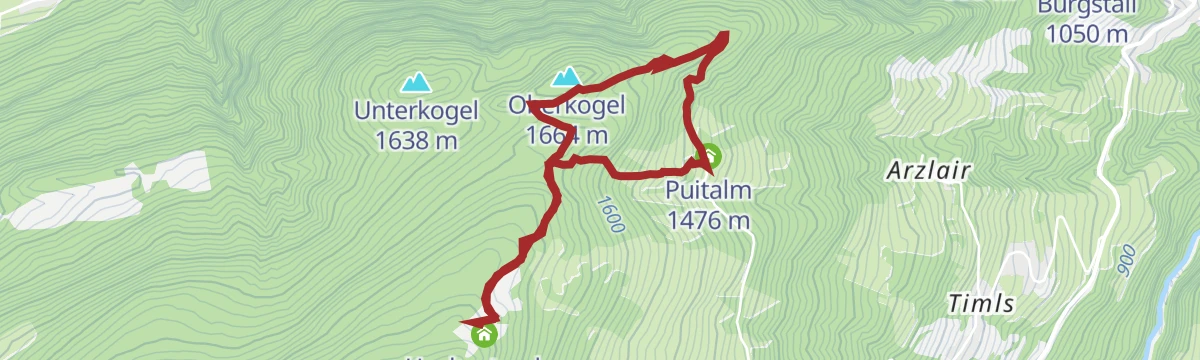
Panoramawanderung Venet Alm
A 10 km round over the Oberkogel joining four huts: the Venetalm, Puitalm, Hochasteralm and Gamssteinhütte.
- 10.0 km
- Distance
- 529 m
- Ascent
- 3 h 48 min
- Duration
- 7
- Check-ins
Wenns - Oberleins - Jausenstation Waldeck - Wenns
Long 16.7 km circuit from Wenns by way of Oberleins to the Jausenstation Waldeck and back, with 720 m of climb.
- 16.7 km
- Distance
- 663 m
- Ascent
- 5 h 33 min
- Duration
- 1
- Check-ins
Gravelrunde Venetmassiv
A gravel loop around the Venet massif crossing the Pillerhöhe at 1,559 m, with the Gachenblick and the Gasthof Kronburg on the way back.
- 56.6 km
- Distance
- 1 203 m
- Ascent
- 6 h 11 min
- Duration
- 20
- Check-ins
- Pillerhöhe 1 590 m
 Pillerhöhe 1 559 m
- Gachenblick 1 576 m
- Gasthof Kronburg 938 m
- Info-Point Pitztal 750 m
- Zweiter Weiher 920 m
- +2
Inntalrunde
A 65.3 km valley loop on the Inn cycle path — Imst, the Inn gorge, Roppen, Haiming, Silz and Stams — with only 581 m of climbing.
- 55.2 km
- Distance
- 901 m
- Ascent
- 5 h 45 min
- Duration
Open route Imst TourismusHochaster Alm
A steep but short approach from Plattenrain to the Hochasteralm, 278 m of ascent in barely 1.3 km.
- 1.3 km
- Distance
- 278 m
- Ascent
- 1 h 1 min
- Duration
- 2
- Check-ins
IVV Runderwanderweg "Panoramarunde Wald"
A waymarked 12.9 km IVV round above Wald in the Pitztal, with 520 m of ascent past the Krismer sawmill.
- 12.9 km
- Distance
- 485 m
- Ascent
- 4 h 13 min
- Duration
- 2
- Check-ins
Walder Gipfelkreuz
A demanding 15.6 km climb above Arzl by way of the Vordere and Hintere Wenner Alm to the summit cross, 1,086 m of ascent in all.
- 15.6 km
- Distance
- 1 072 m
- Ascent
- 7 h 11 min
- Duration
Tschirgantrunde
A circuit of the Tschirgant on valley tracks, passing the Weiße Haus, Camping Rossbach and the turn-off into the Pitztal.
- 56.0 km
- Distance
- 691 m
- Ascent
- 5 h 37 min
- Duration
- 20
- Check-ins
Wanderung zur Hochaster Alm
A 4.3 km walk over the Oberkogel to the Hochasteralm, taking in the Puitalm on the way.
- 4.3 km
- Distance
- 280 m
- Ascent
- 1 h 53 min
- Duration
- 2
- Check-ins
1) Arzler Runde (IVV)
A waymarked IVV round of 7.6 km from Arzl with 366 m of climbing, starting near the railway station.
- 7.6 km
- Distance
- 319 m
- Ascent
- 2 h 35 min
- Duration
- 1
- Check-ins
Gravelrunde Piburger See
A long gravel ride down the Inn valley from Imst to the Piburger See, with the Seehäusl and Seerestaurant at the lake before the return.
- 60.8 km
- Distance
- 1 136 m
- Ascent
- 6 h 28 min
- Duration
- 15
- Check-ins
Alte Straße nach Wenns
An easy 4 km walk from Arzl to Wenns along the course of the old valley road.
- 4.0 km
- Distance
- 195 m
- Ascent
- 1 h 22 min
- Duration
- 1
- Check-ins
4) Waldeck - Wildtiererlebnispfad
An 8.1 km round on the wildlife trail above Arzl, passing the Krismer sawmill and the Jausenstation Waldeck.
- 8.1 km
- Distance
- 480 m
- Ascent
- 3 h 21 min
- Duration
- 1
- Check-ins
Imster Radmarathon | Panoramarunde (Jubiläum)
A long tour out of Imst over the Holzleitensattel at 1,119 m, looping back down the Inn valley past the mouth of the Pitztal.
- 79.5 km
- Distance
- 727 m
- Ascent
- 7 h 45 min
- Duration
- 14
- Check-ins
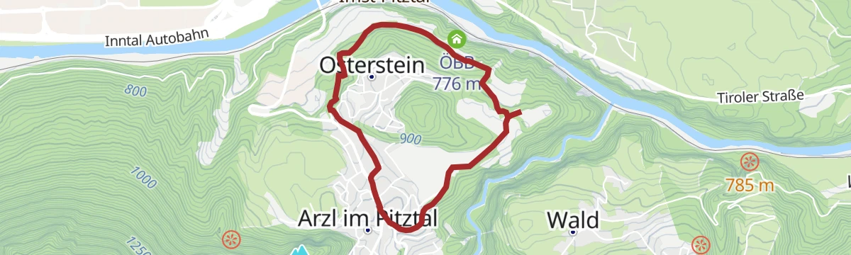
Osterstein "Groß"
A 4 km loop out of Arzl to the Osterstein, the longer of the two variants, with 136 m of climbing.
- 4.0 km
- Distance
- 82 m
- Ascent
- 1 h 8 min
- Duration
- 1
- Check-ins
IVV Rundwanderweg Arzl
A 7.1 km waymarked circuit around Arzl im Pitztal, with 381 m of climbing.
- 7.1 km
- Distance
- 294 m
- Ascent
- 2 h 24 min
- Duration
- 1
- Check-ins
Haimingerberg Sattele
A long climb out of the Inn valley over the Haimingerberg to the Sattele at 1,690 m, with Ottos Einkehr shortly below the pass.
- 58.6 km
- Distance
- 2 095 m
- Ascent
- 7 h 11 min
- Duration
- 13
- Check-ins
Wanderung zur Jausenstation Waldeck
An easy 5.9 km approach to the Jausenstation Waldeck, passing the Krismer sawmill.
- 5.9 km
- Distance
- 317 m
- Ascent
- 2 h 15 min
- Duration
- 1
- Check-ins
Rundwanderung Jausenstation Waldeck - Leiner Alm
A 12.3 km round linking the Jausenstation Waldeck and the Leiner Alm, with 694 m of ascent.
- 12.3 km
- Distance
- 679 m
- Ascent
- 4 h 49 min
- Duration
- 1
- Check-ins
Pillerrunde
A big loop through the Inn valley and the Pitztal mouth, climbing over the Pillerhöhe pass before the run back to Imst.
- 65.8 km
- Distance
- 1 587 m
- Ascent
- 7 h 20 min
- Duration
- 11
- Check-ins
2) Hohe Bank - Diemersteig
A short 3.6 km walk on the Diemersteig to the Hohe Bank viewpoint above Arzl.
- 3.6 km
- Distance
- 137 m
- Ascent
- 1 h 11 min
- Duration
Wanderung nach Plattenrain
A 7.4 km climb to Plattenrain by way of the Puitalm, gaining 624 m from the valley.
- 7.4 km
- Distance
- 619 m
- Ascent
- 3 h 56 min
- Duration
- 1
- Check-ins
Imsterberger Venetrunde (Nr. 604|640|614)
A circuit on the Venet from Imsterberg, climbing to the Venetalm at 1,980 m by the Gamsstein hut.
- 36.6 km
- Distance
- 1 382 m
- Ascent
- 4 h 33 min
- Duration
- 8
- Check-ins
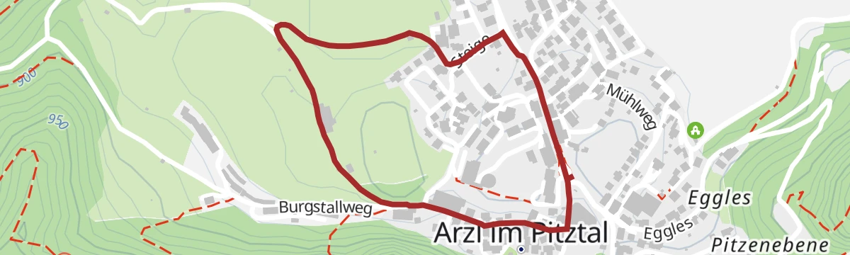
2) Um die Breite
A level 1.6 km loop around the Breite at Arzl, short enough for a stroll.
- 1.6 km
- Distance
- 26 m
- Ascent
- 26 min
- Duration
No routes of this kind in Arzl im Pitztal yet.
The region's own picks
Featured route
Bergstation Doppelsesselbahn - Hochzeiger - Mittelstation
A downhill-friendly ridge walk from the top of the Hochzeiger lifts over the summit and the Niederjöchl, descending past the Zeigerrestaurant to the mid-station — big views for modest effort.
Planning a trip to Arzl im Pitztal?
Everything else Tyrol has, in one place


Take Arzl im Pitztal with you into the mountains
Every route on this page with 3D terrain, GPX navigation and offline maps — including the valleys with no signal.
Data sources
- Official website: pitztal.com ↗
- Routes and highlights: Tourismusverband Pitztal, Imst Tourismus, Serfaus-Fiss-Ladis, Innsbruck Tourismus
- Published as open data by the tourist boards named above.
- Region summary generated from the board's own material.
