
 Historic site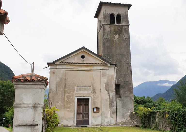








 Summit
Cima Campo
via A lion defending Italy: excursion and visit to the military fortress of Cima Campo
Curated by Dolomitiprealpi
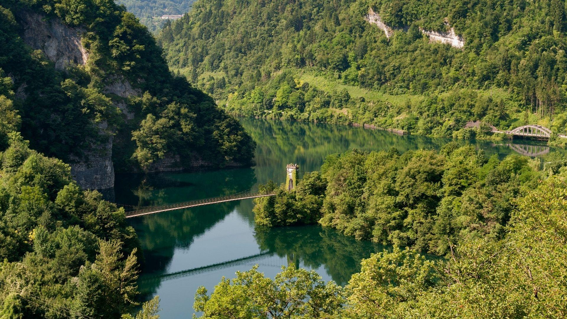
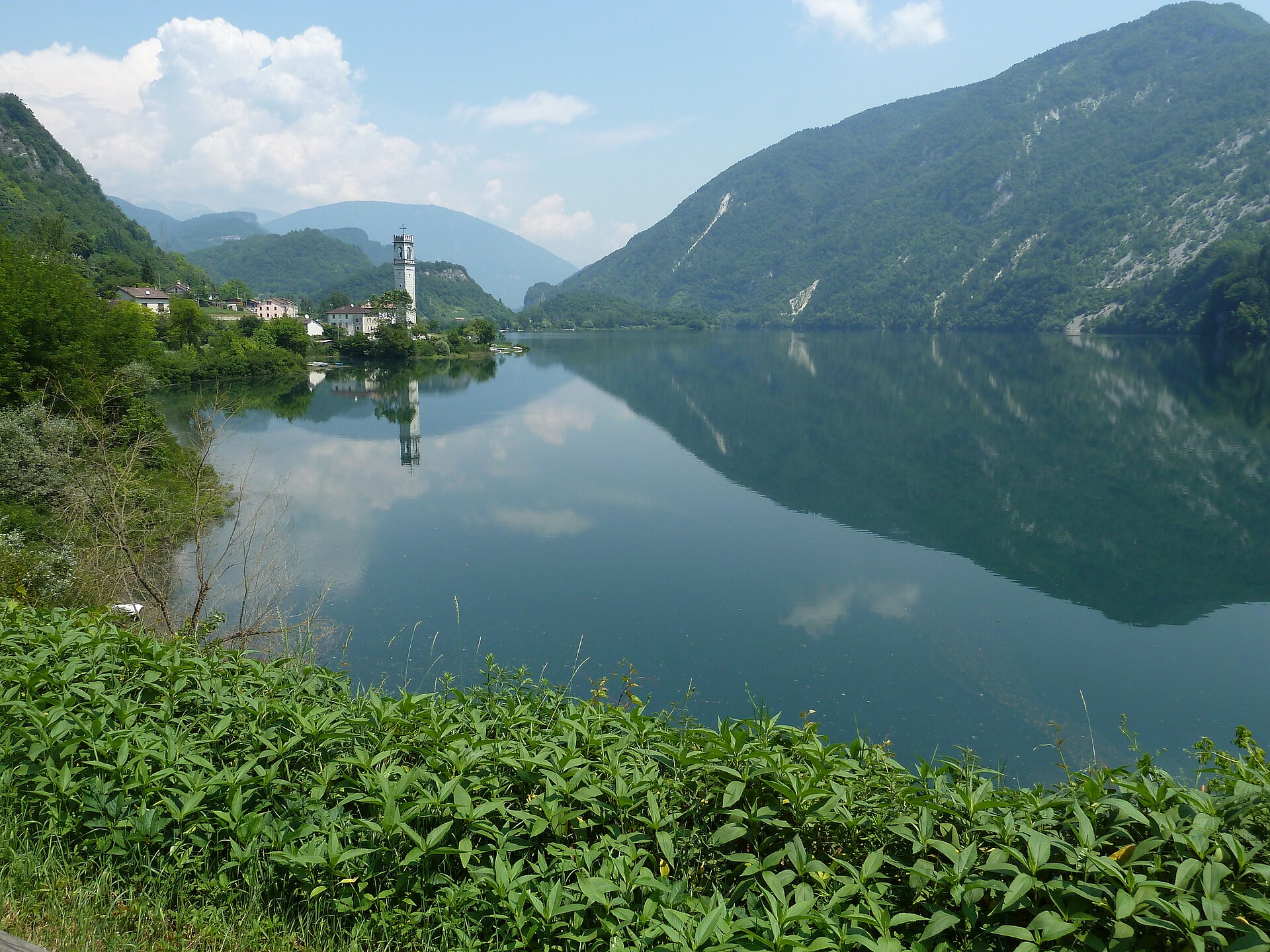
Comune on Lake Corlo where the Cismon leaves the mountains, on the Veneto-Trentino boundary.
Photo: Fflavio74 · CC BY-SA 3.0 licence
11 from neighbouring places
A reservoir on the Cismon in the hills of Arsiè, its narrow arms held back by a dam below the Grappa massif.
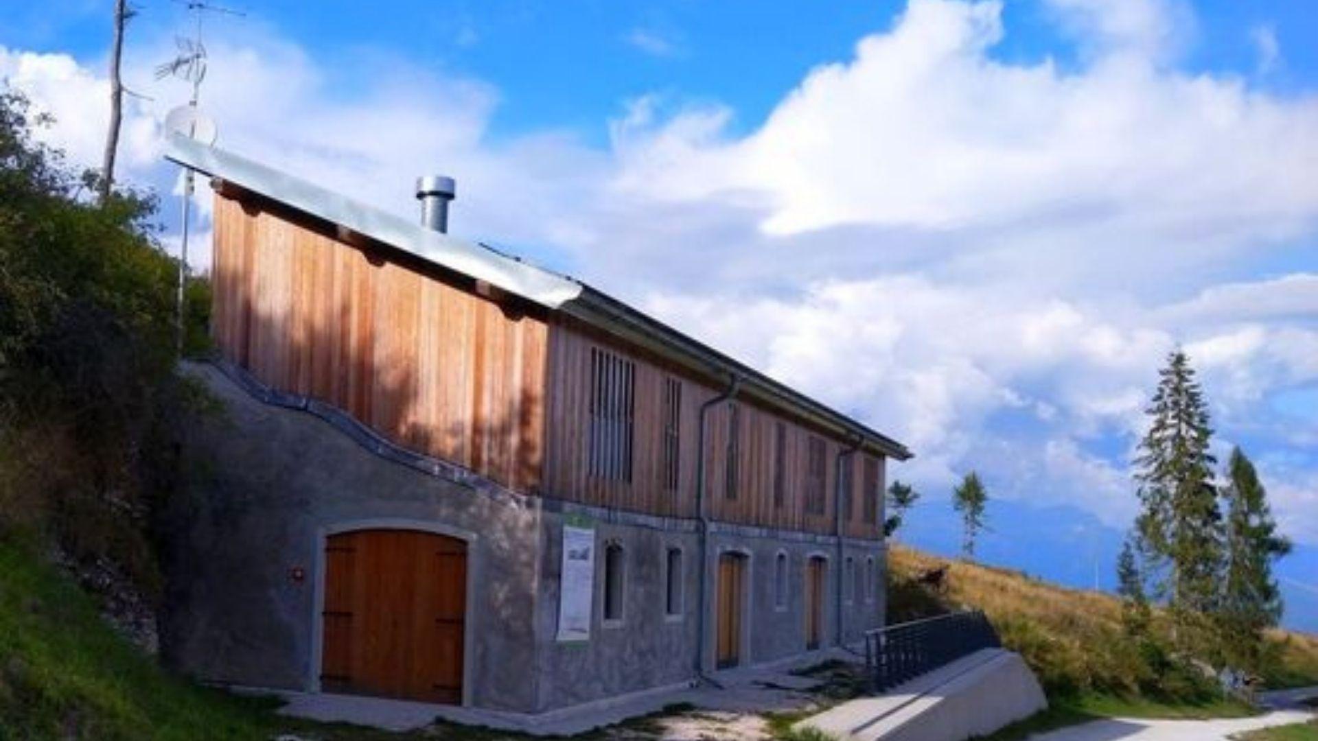
A hut on the wooded ridges above Arsiè, between the Lago del Corlo and the Grappa massif.
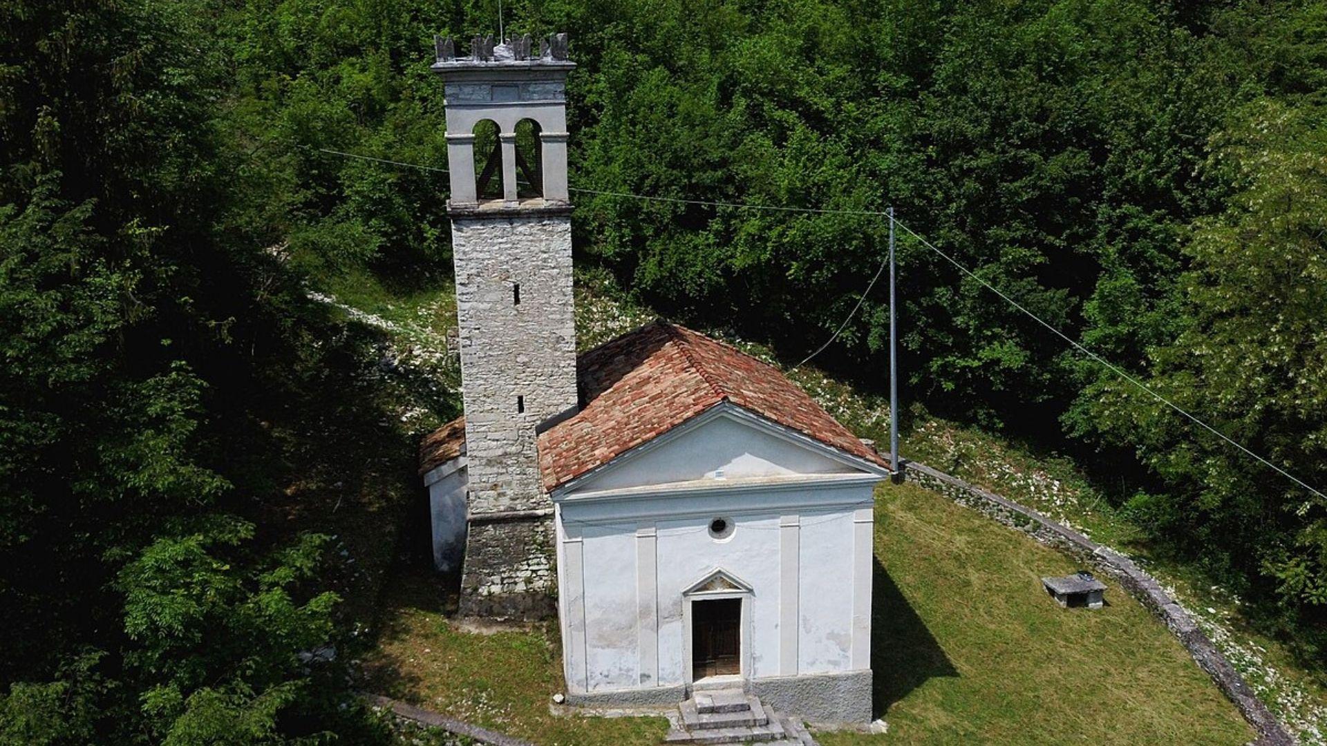
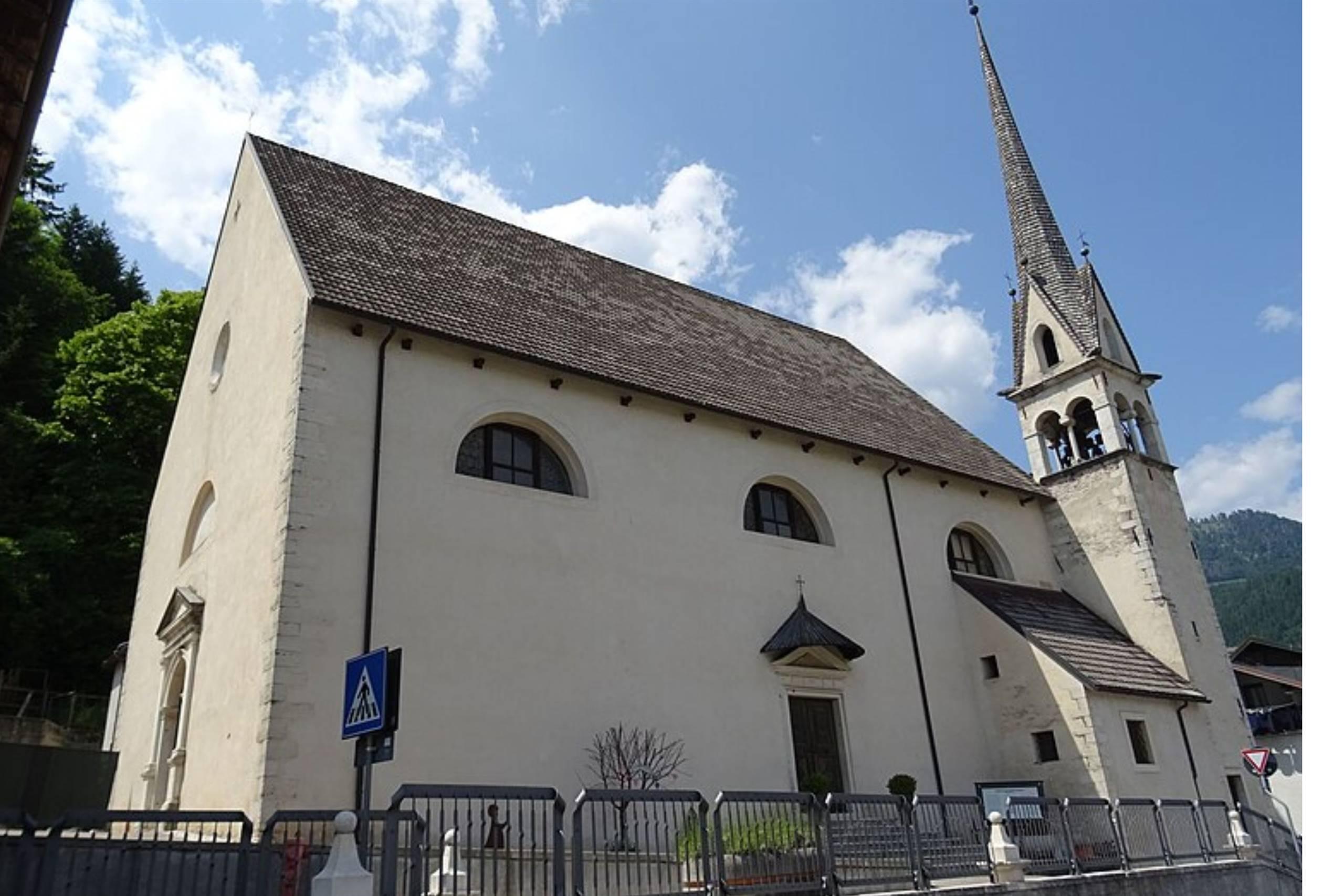
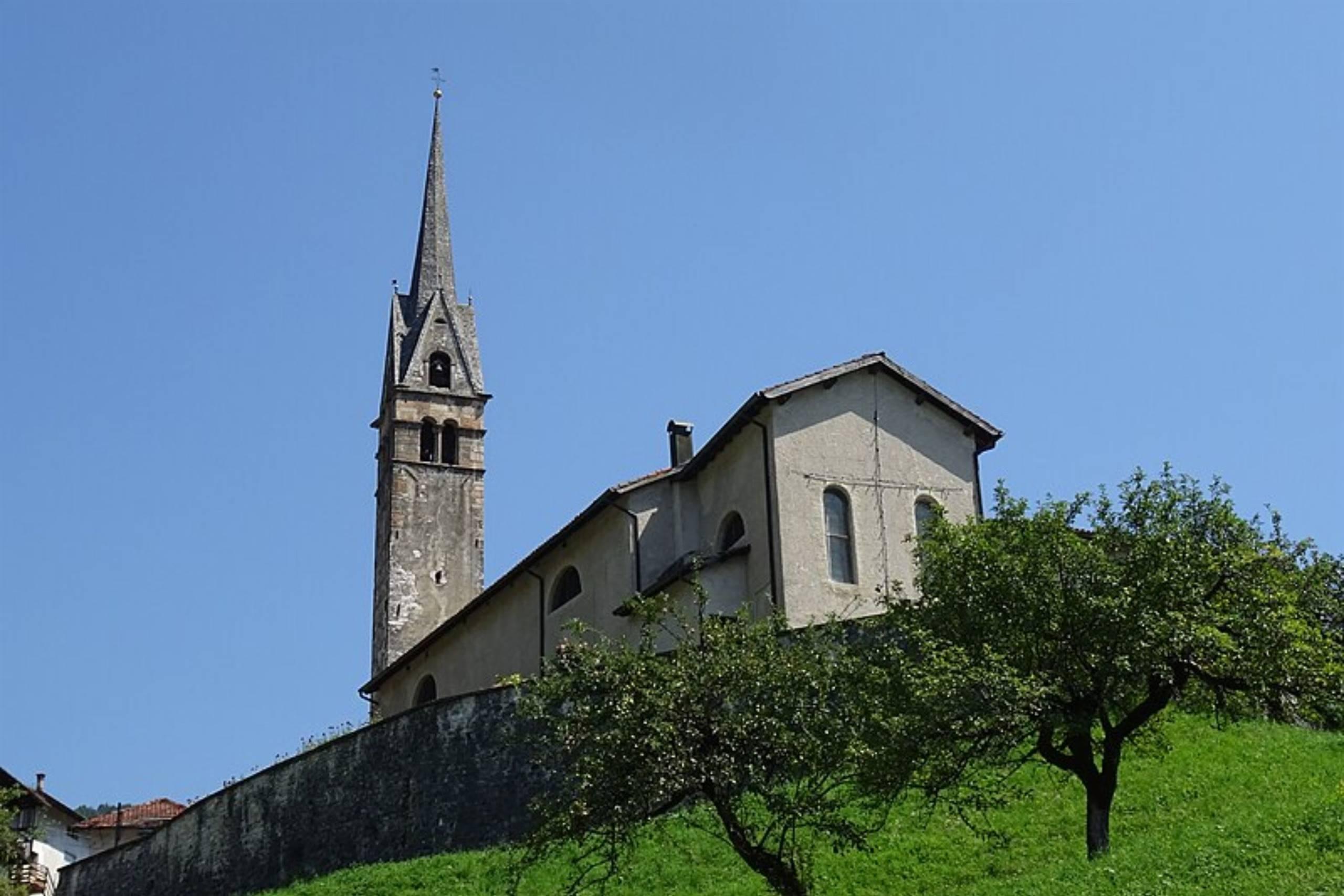
The old parish church of Arsiè, above the Cismon valley near the Lago del Corlo, dedicated to Hippolytus, Cassian and Anthony of Padua.
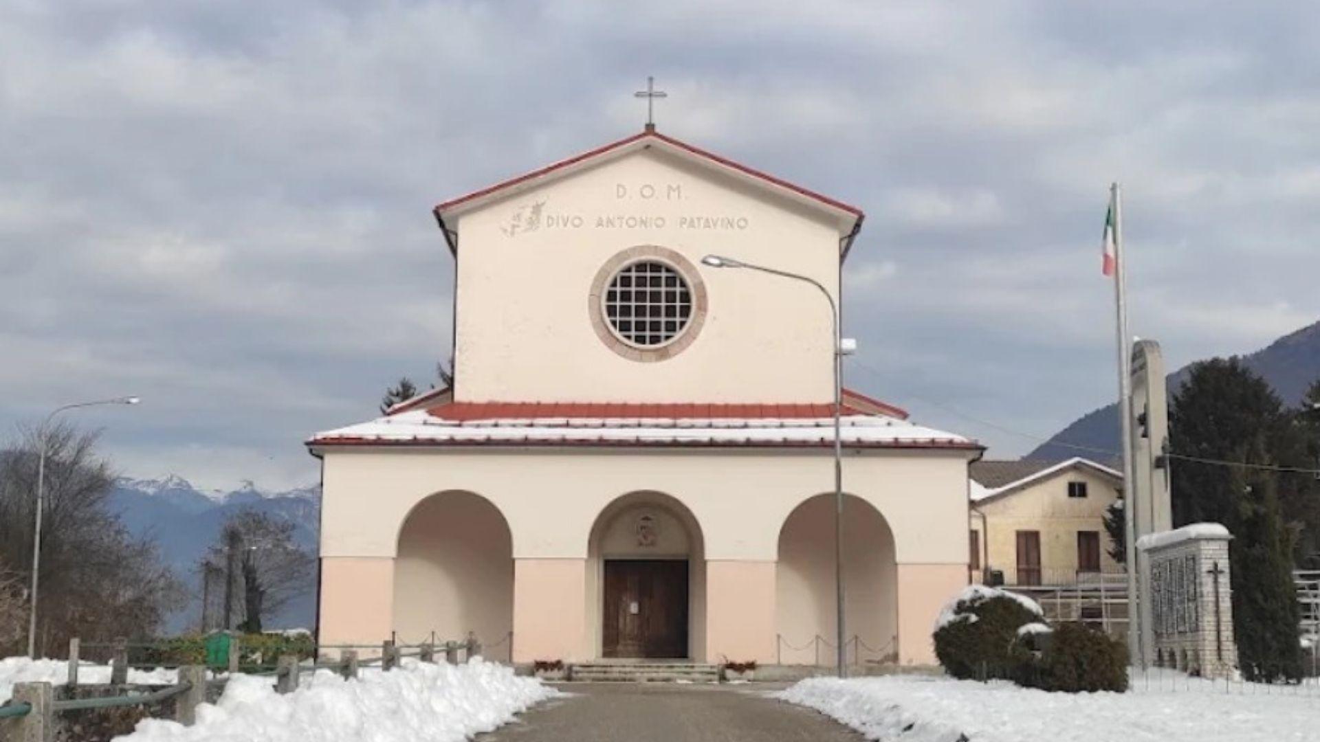
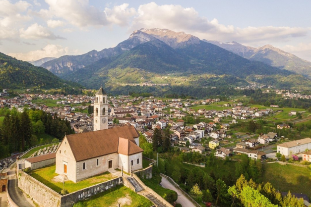
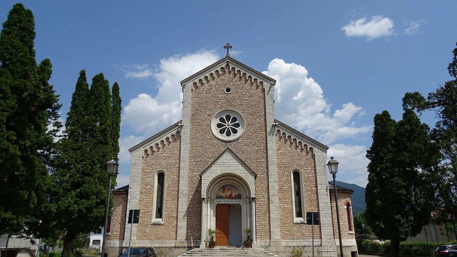
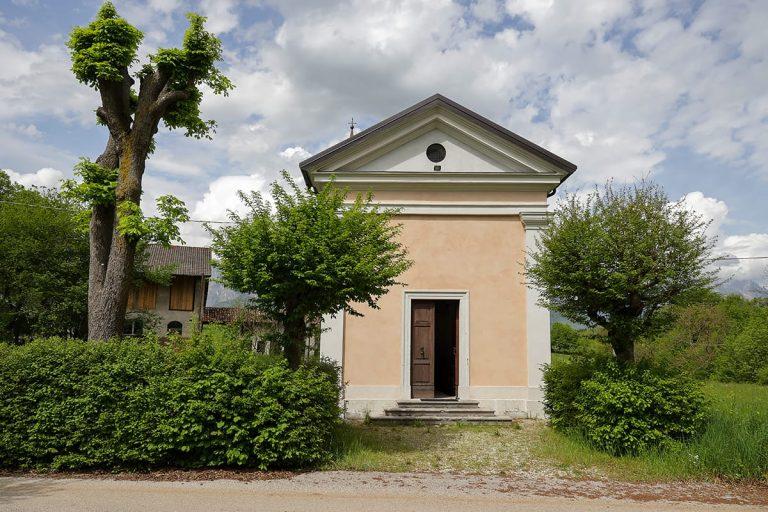
The newer parish church of Arsiè, dedicated to Hippolytus, Cassian and Anthony of Padua, in the hills above the Lago del Corlo.
6.6 km away, in Lamon
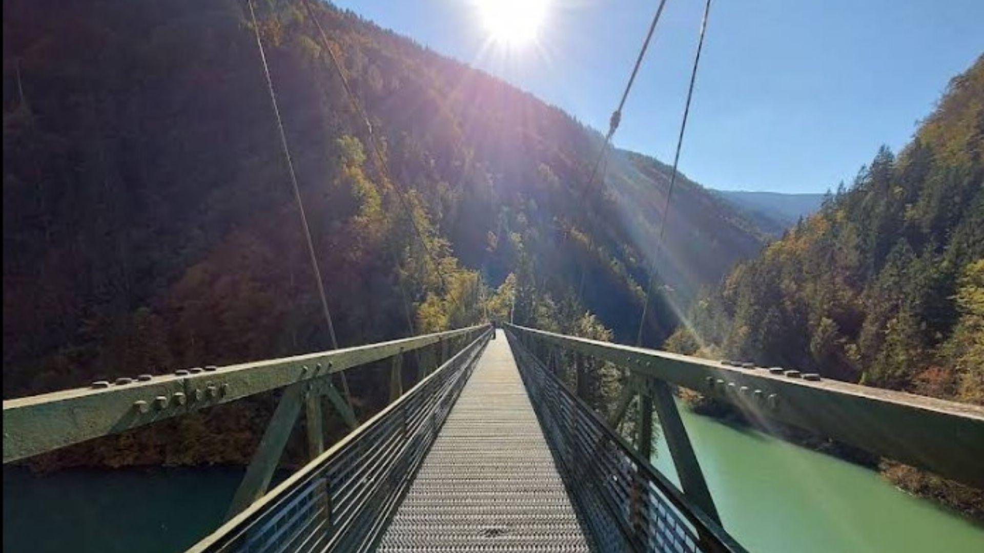
A footbridge crossing the reservoir of Lago Senaiga, in the wooded valley below the plateau of Lamon.
7.7 km away, in Lamon
The parish church of Lamon, standing on the plateau above the Senaiga valley.
7.8 km away, in Lamon
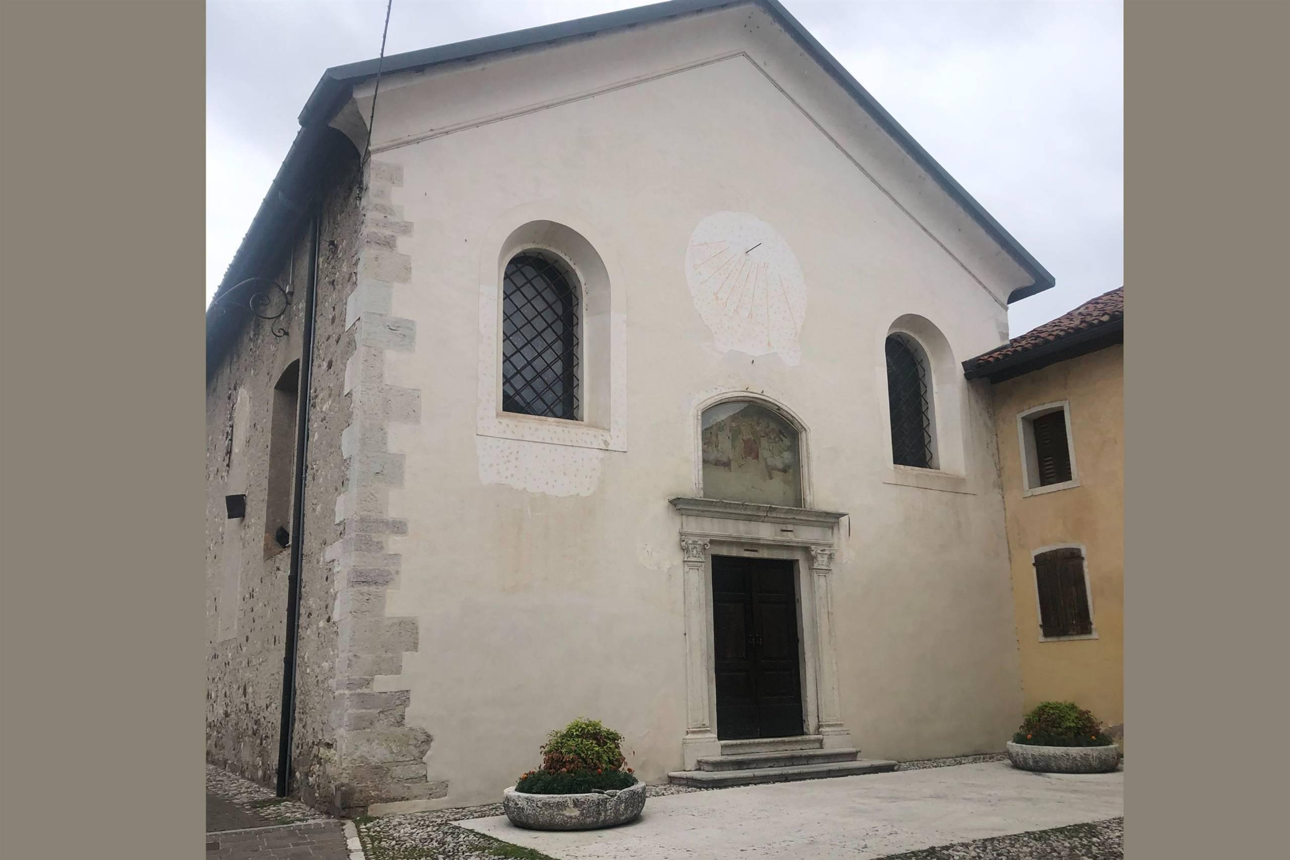
A church in the Lamon area, on the high ground west of Feltre near the Trentino border.
8.1 km away, in Lamon
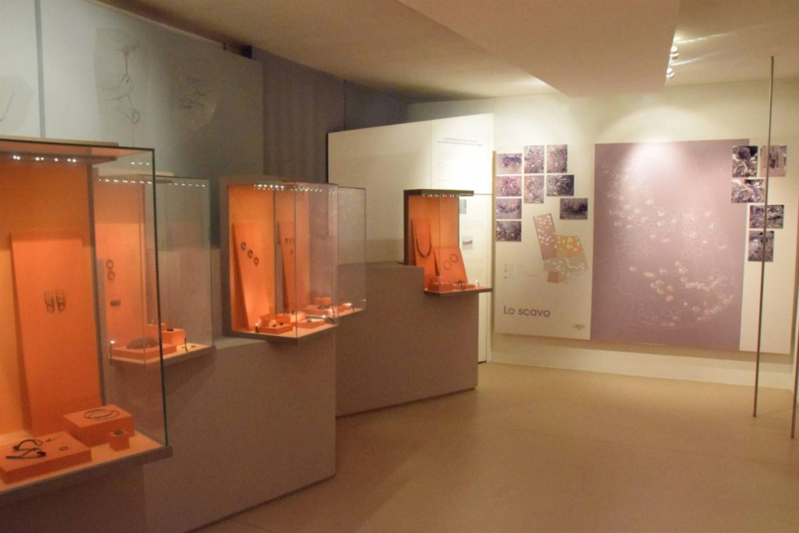
The civic archaeological museum of Lamon, holding finds from the plateau between the Cismon and the Senaiga.
9.9 km away, in Lamon
A church at Lamon, on the plateau between the Cismon and the Senaiga in the western Feltrino.
9.6 km away, in Sovramonte
A church of Santa Maria Assunta in Sovramonte, on the slopes below the Vette Feltrine in the Dolomiti Bellunesi national park.
12.5 km away, in Feltre
A church in Feltre, in the Valbelluna between the Feltre Dolomites and the Piave.
12.7 km away, in Feltre
The diocesan museum of Belluno and Feltre, with sacred art and furnishings gathered from churches across the Feltrino and the Valbelluna.
13 km away, in Feltre
A church at Villaga, a hamlet of Feltre in the Valbelluna below the Feltre Dolomites.
13.2 km away, in Feltre
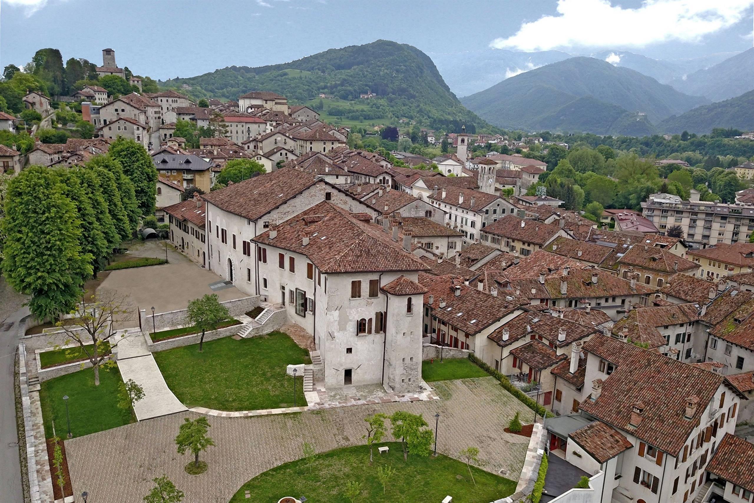
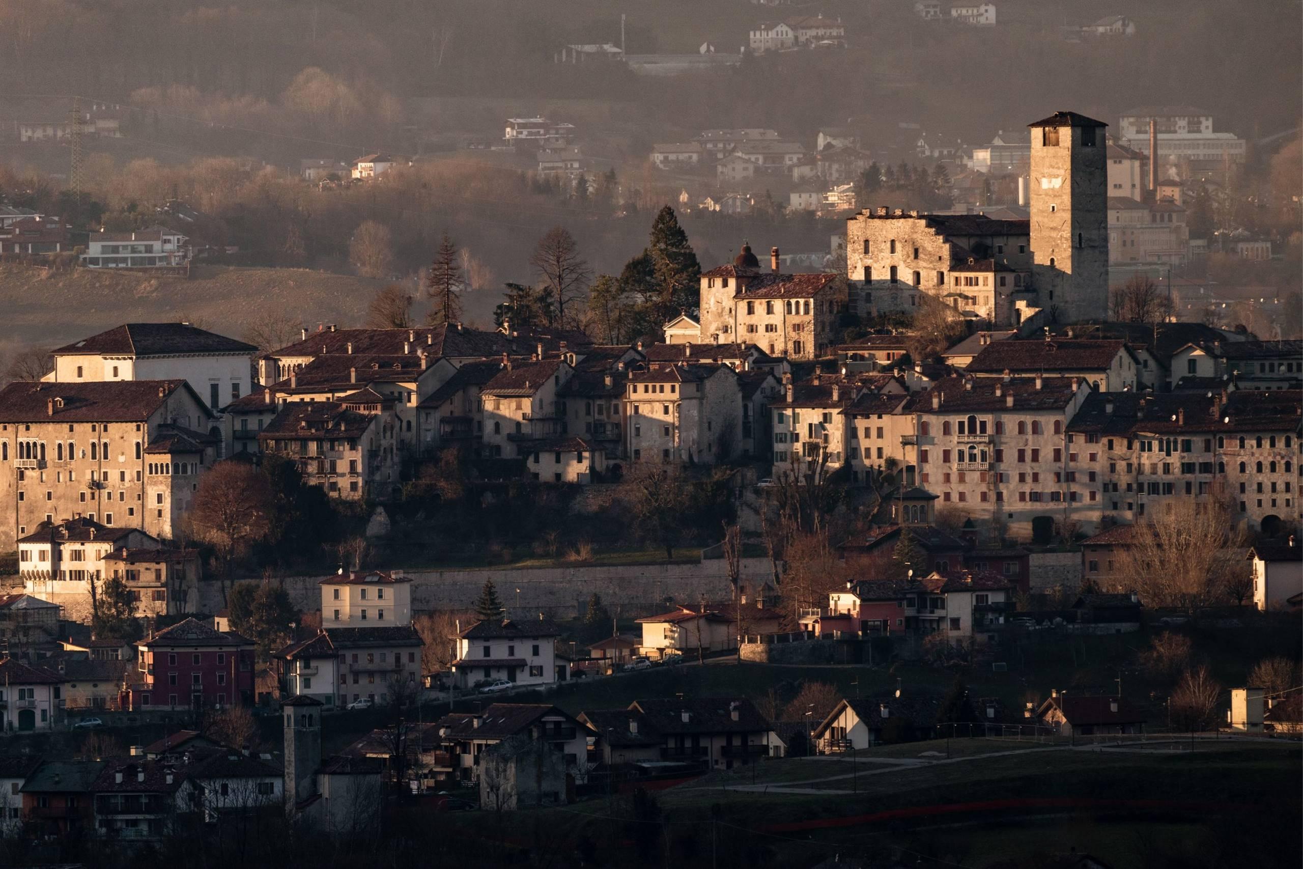
The castle crowning the hill above Feltre, its tall tower standing over the walled old town in the Valbelluna.
13.4 km away, in Feltre
A church in Feltre, at the foot of the hill carrying the old walled town.
Nothing of this kind in Arsiè.
14 from neighbouring places
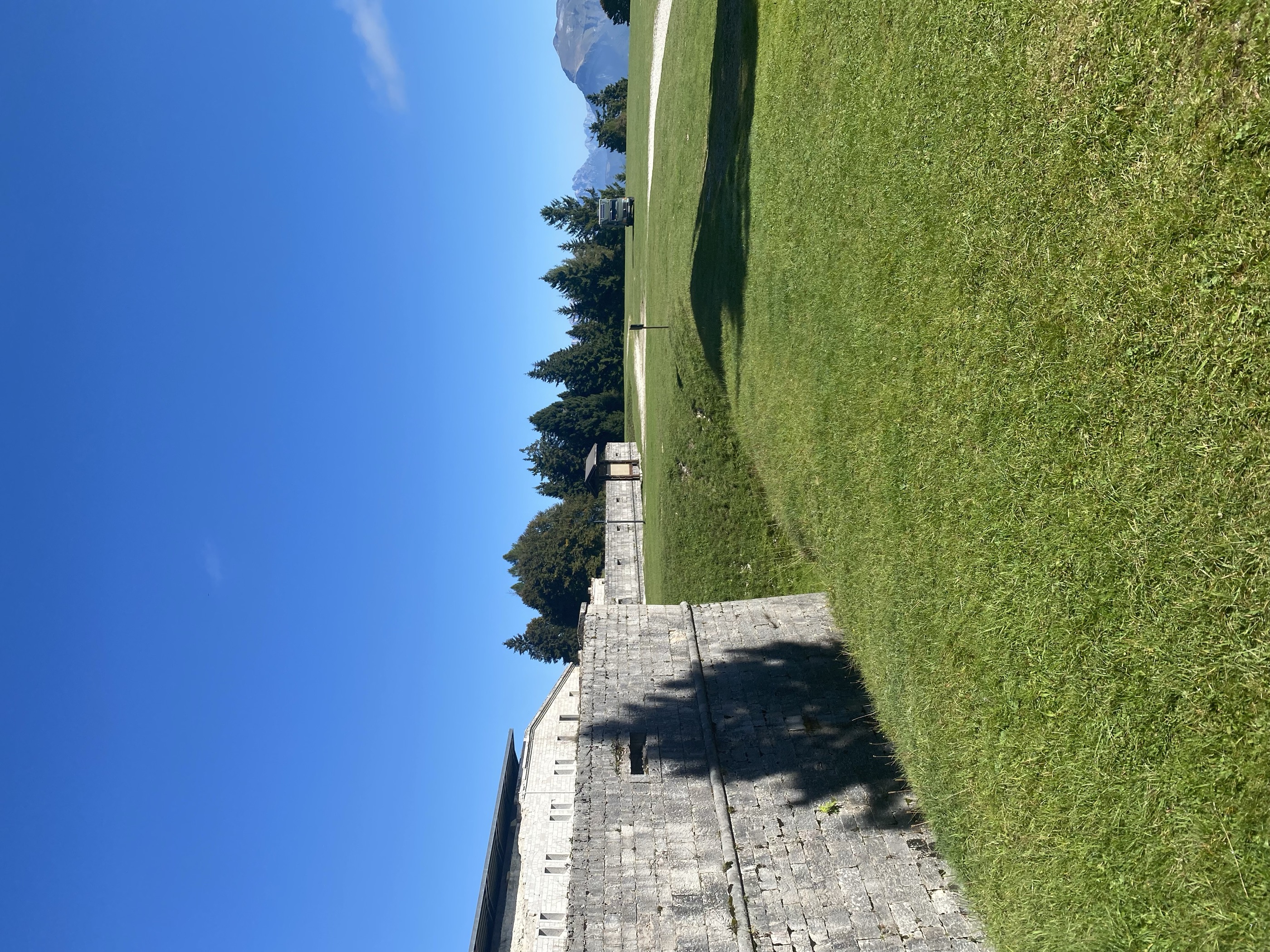
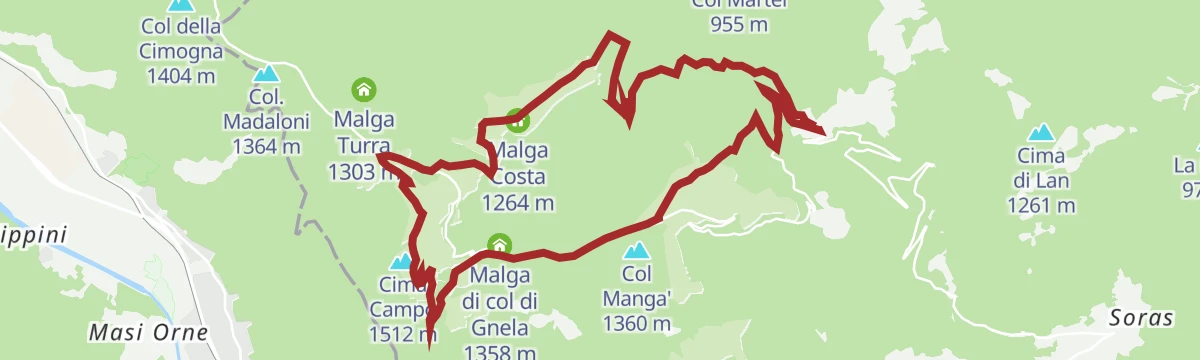
A walk to the grassy top of Cima Campo and Forte Leone, a large fort open to small guided groups, with the Grappa and the Pale di San Martino around.
Cima Campo 1 512 m Malga Cima Campo 1 478 m Malga Costa 1 264 m Casermetta 1 382 m Malga di col di Gnela 1 358 m Agriturismo Malga Celado 1 315 m
A climb on CAI 807 up Col del Baio above the Corlo lake, returning by the Val Tenina and Val Carazzagno past Scoccau and Puel.
A circuit of the Corlo lake at Arsiè, a narrow reservoir held between wooded slopes like an alpine fjord.
A long road climb from Arsiè to Cima Campo, through forest and hairpins, on the ascent where Gilberto Simoni took his first Giro podium in 1999.
A loop around the Corlo lake, formed by damming the Cismon in a deep canyon between the Valsugana and Monte Grappa, part on the water and part above it.
A short circuit above the Corlo lake at Arsiè, taking in what the valley was like before the dam.
8.1 km away, in Lamon
A short walk from Lamon down to the old stone bridge over the stream, known locally as the Roman bridge.
9.9 km away, in Grigno
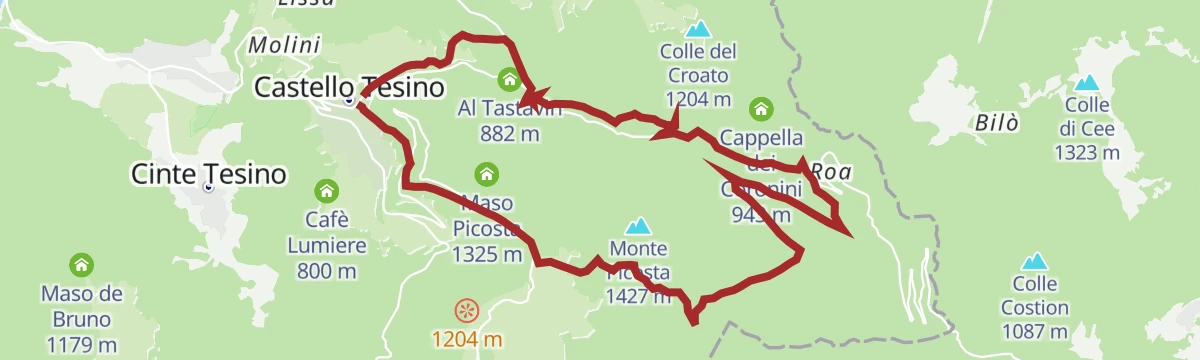
A road climb out of the Grigno valley over Castello Tesino, finishing on the hairpins that lead up to Passo Brocon at 1,616 m.
 Passo Brocon 1 616 m Hotel Pizzo degli Uccelli 1 620 m Al Tastavin 882 m Albergo Passo Brocon 1 617 m Chalet Heidi 1 615 m
13.2 km away, in Castello Tesino
A mixed-surface ride linking the three villages of the Tesino plateau over Passo della Forcella and past the Grigno reservoir.
Passo della Forcella 910 m Bacino artificiale Grigno 773 m Pro Loco di Pieve Tesino 839 m Visitor center 823 m
13.5 km away, in Castello Tesino
A shorter circuit over Monte Pasolin, Col dei Baili and Col Cantiero on the wooded upland above Castello Tesino.
Monte Pasolin 1 275 m Col dei Baili 1 232 m Col Cantiero 1 078 m Ristorante Al Cacciatore 1 221 m Ristorante ai Larici 1 167 m Alice 1 178 m7.5 km away, in Seren del Grappa
A long climb to the massif's summit plateau above Seren del Grappa, going by Albergo Forcelletto and Rifugio Scarpon on the way to the Panettone.
9.1 km away, in Enego
A walk over the Marcesina plateau past the dairy huts of Malga Val Bella and Malga Monte Cucco to the wooden eagle carved after storm Vaia.
Monte Cucco 1 387 m Malga II° Lotto Valmaron - Malga Val Bella 1 381 m Passo della Forcellona 1 435 m Malga Marcesina di Sopra 1 364 m Rifugio Valmaron 1 352 m Malga Monte Cucco 1 372 m8.1 km away, in Grigno
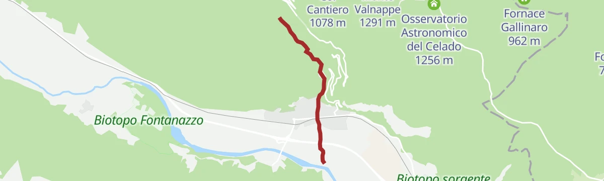
A short stretch beside the Resenzuola stream at Grigno, where it drops towards the Brenta.
10.9 km away, in Grigno
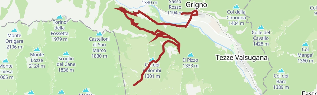
A one-way road climb from the Valsugana up to the high plateau, with 1,660 m of ascent in 19 km and the Rifugio Barricata at the top.
Col dei Colombi 1 301 m Rifugio Barricata 1 351 m Centro Visitatori Riparo Dalmeri 1 338 m Malga Campo Capra di Sotto 1 288 m13.6 km away, in Castello Tesino
A steep, technical climb out of Castello Tesino to the Larici restaurant at Celado, returning over Col delle Bagole and Passo della Baia.
10.6 km away, in Grigno
An old track used since the nineteenth century by the people of Grigno and Tezze, climbing to the Marcesina pastures and their herders' huts.
Rifugio Barricata 1 351 m Centro Visitatori Riparo Dalmeri 1 338 m Malga Campo Capra di Sotto 1 288 m9.2 km away, in Seren del Grappa
A walk of remembrance through the woods on Monte Grappa, where trenches and carved sculptures stand among the trees above Seren del Grappa.
9.7 km away, in Grigno
A short walk up the Grigno torrent from the valley floor, into the gorge cut below the karst plateau.
10.3 km away, in Pedavena
A demanding road ascent from the Feltrino towards Malga Campon and the Col Melòn chairlift, with a descent over the Croce d'Aune pass.
Passo Croce d'Aune 1 011 m Punto informativo Croce d'Aune 1 022 m Malga Campon 1 456 m Arrivo seggiovia Col Melòn 1 018 m13.7 km away, in Castello Tesino
A marked long-distance route across four Tesino municipalities, climbing to Passo Brocon and passing old masi such as Maso Lagorai.
Passo Brocon 1 616 m Hotel Pizzo degli Uccelli 1 620 m Albergo Passo Brocon 1 617 m Casa Anselmi 1 604 m Villaggio Degasperi 1 071 m Maso Lagorai 1 492 mNo routes of this kind in Arsiè yet.
Summit
via A lion defending Italy: excursion and visit to the military fortress of Cima Campo
Featured route
A walk to the grassy top of Cima Campo and Forte Leone, a large fort open to small guided groups, with the Grappa and the Pale di San Martino around.
Everything else Veneto has, in one place
Every route on this page with 3D terrain, GPX navigation and offline maps — including the valleys with no signal.


