
 Viewpoint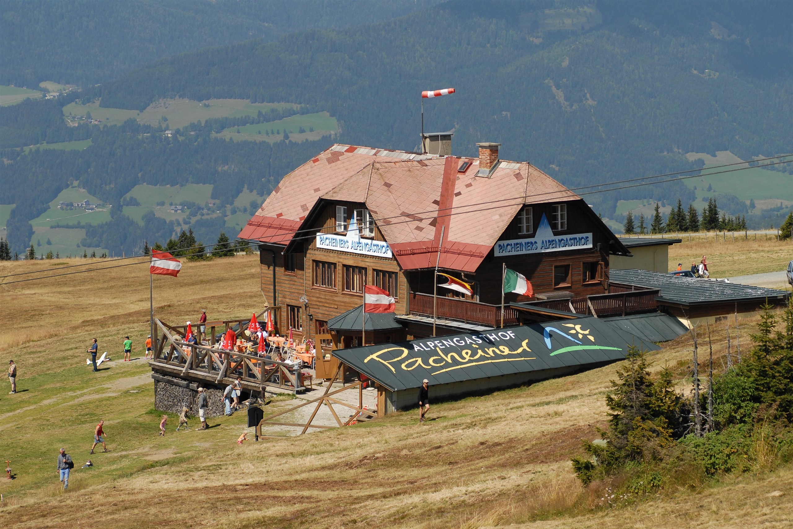


 Historic site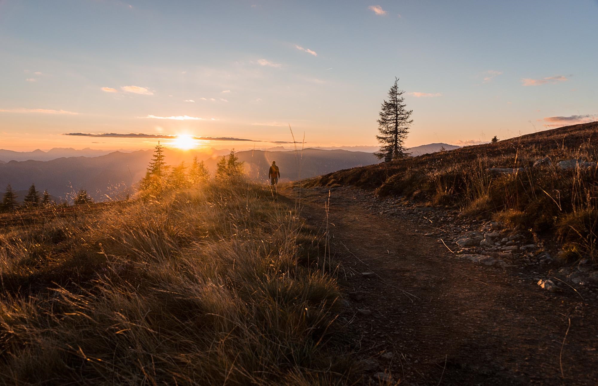


Curated by Villach Tourismus
Arriach
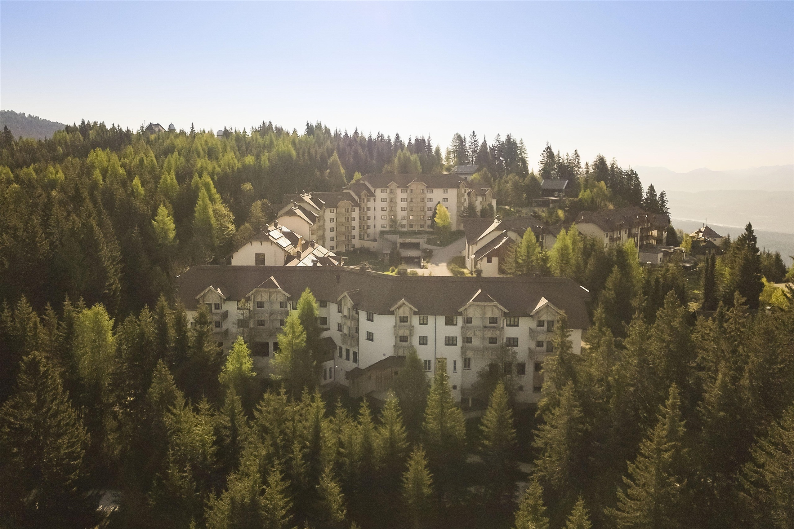
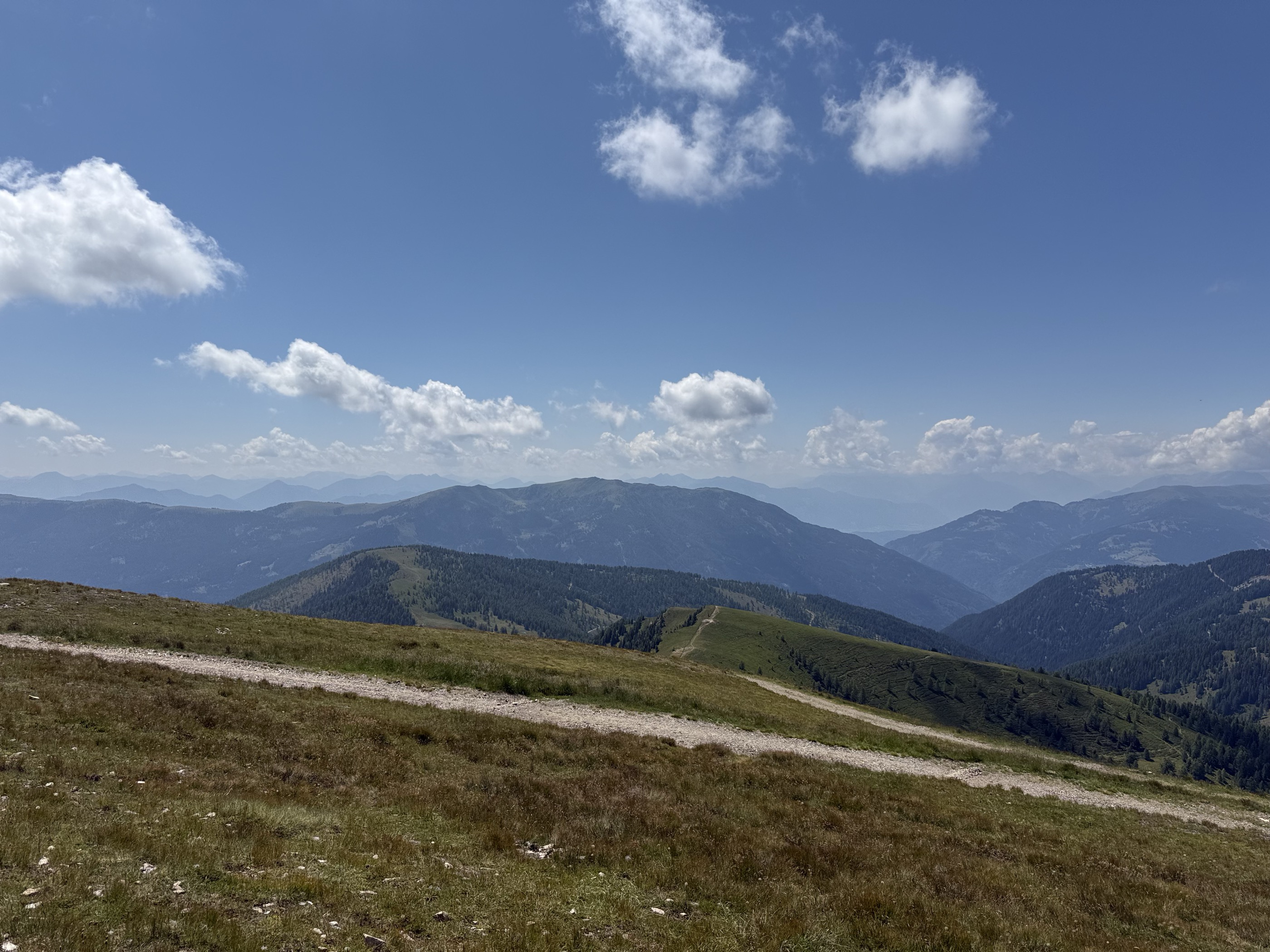
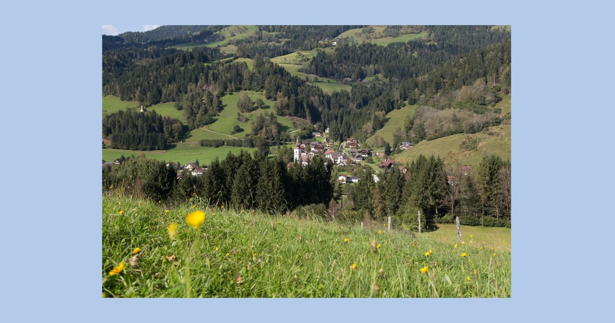
An upland parish spread between the Gerlitzen and the Wöllaner Nock, reckoned the geographical centre of Kärnten, with an observatory inn on the Gerlitzen ridge.
- 4Highlights
- 12Routes
- Featured summit · Wöllaner Nock
Highlights
11 from neighbouring places
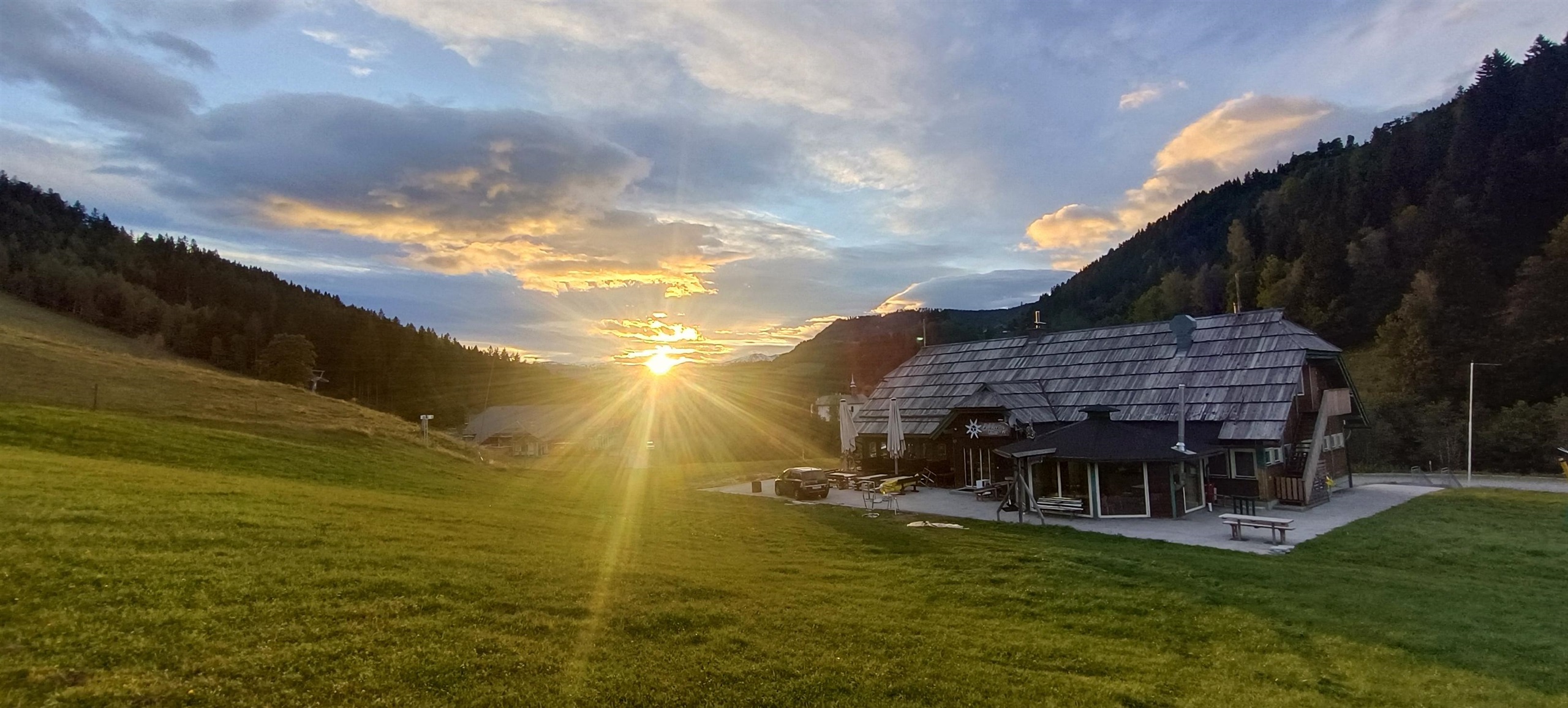
Edelweiss Hütte
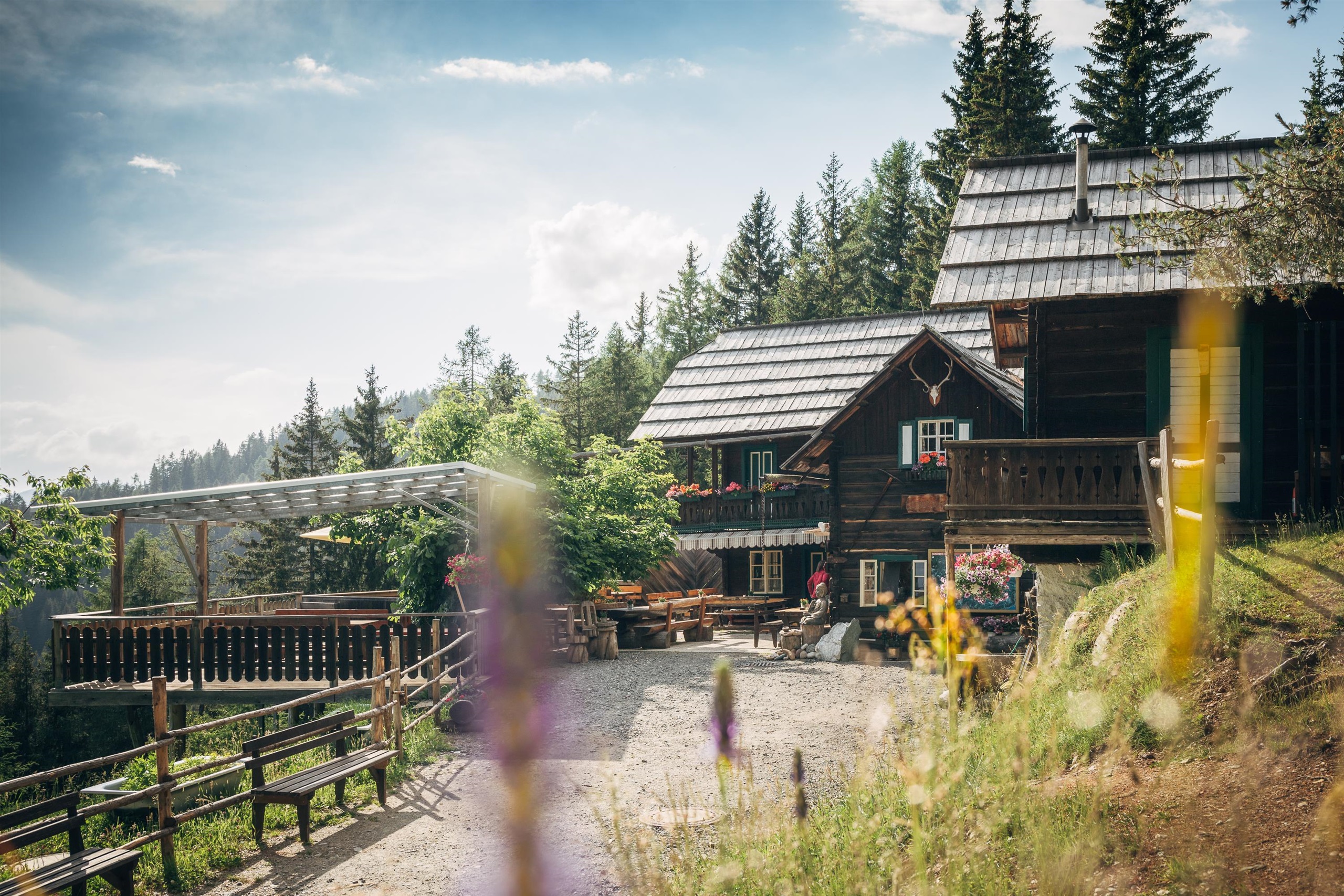
A pasture hut above Arriach on the Gerlitzen massif, a snack station serving home cooking to walkers in the Nockberge foothills.
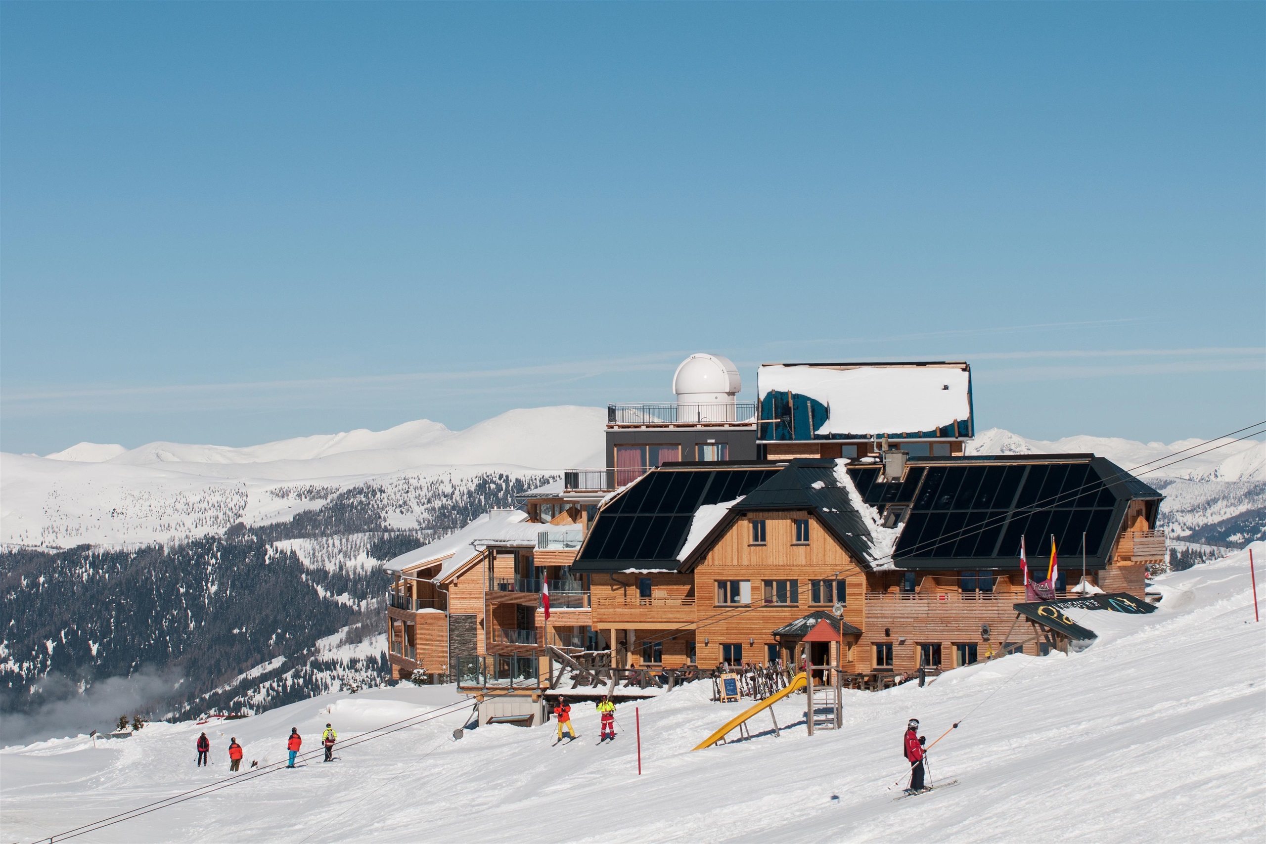
Sternwarte Pacheiner
An astronomical observatory on the Gerlitzen above the Ossiacher See, run at the Pacheiner mountain hotel with guided views of the night sky.
Alpengasthof Pacheiner
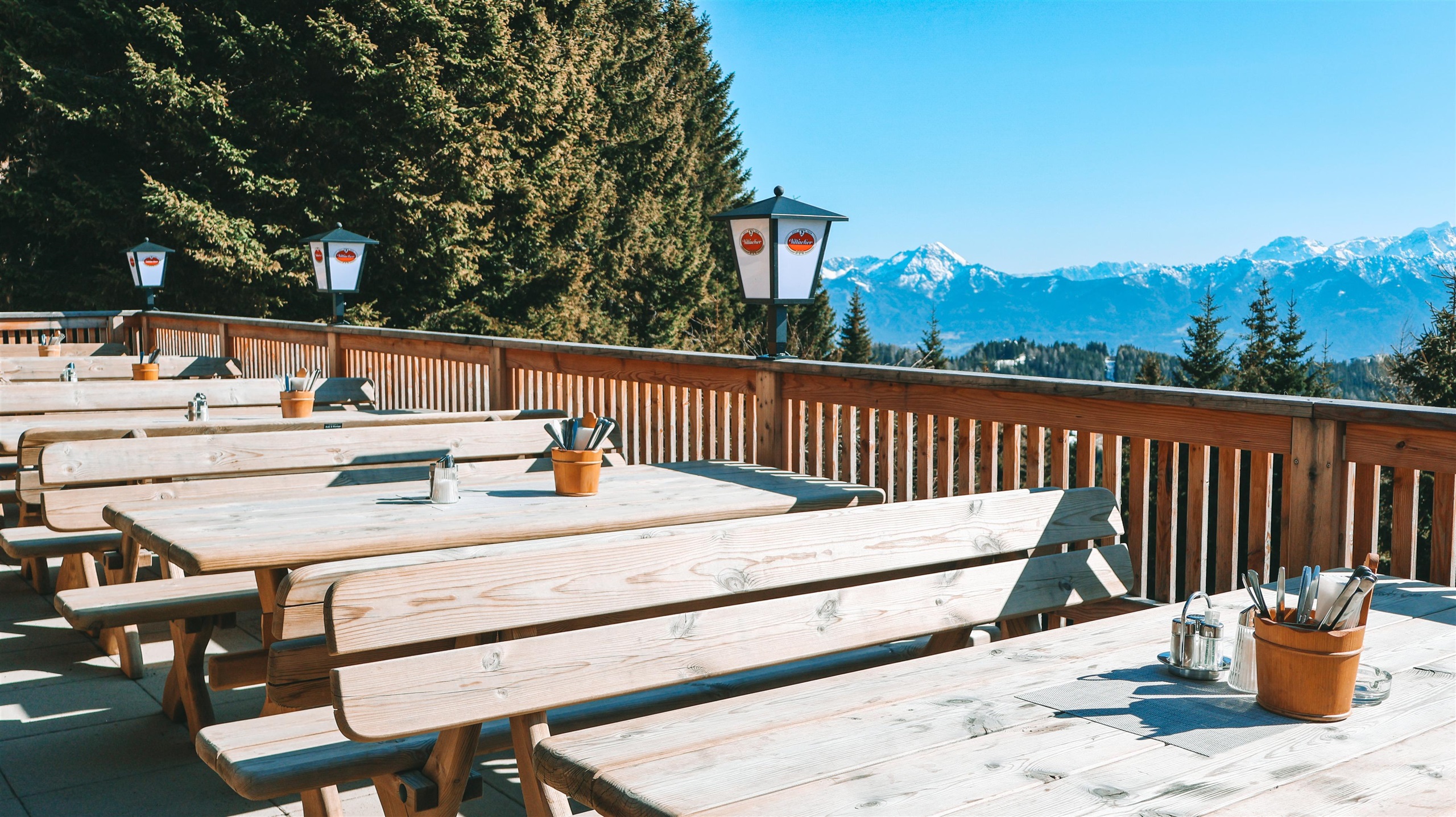
An alpine inn near the summit of the Gerlitzen above the Ossiacher See, serving regional and international cooking with wide views over the Carinthian lakes.
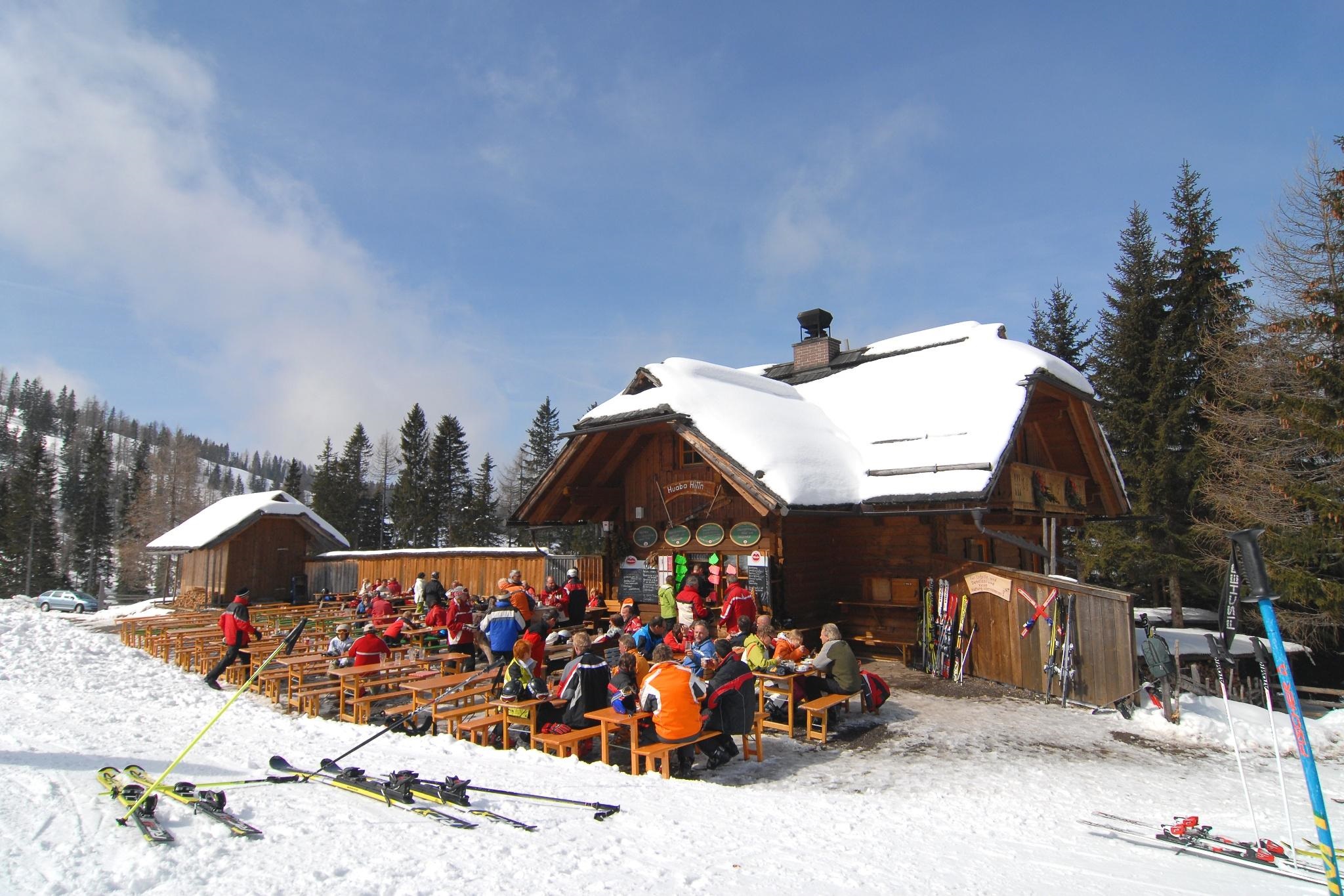
Huaba Hitt'n
A ski and walkers' hut on the Gerlitzen above the Ossiacher See, serving home cooking and its own farm produce beside the pistes.
Steinwenderhütte
4.8 km away, in Treffen am Ossiacher See
A pasture hut on the western Gerlitzen above Treffen, serving regional home cooking with vegetarian and vegan dishes to skiers and walkers.
Kammerhütte
4.9 km away, in Treffen am Ossiacher See
A pasture hut high on the Gerlitzen above Treffen am Ossiacher See, serving simple home cooking to skiers and summer walkers.
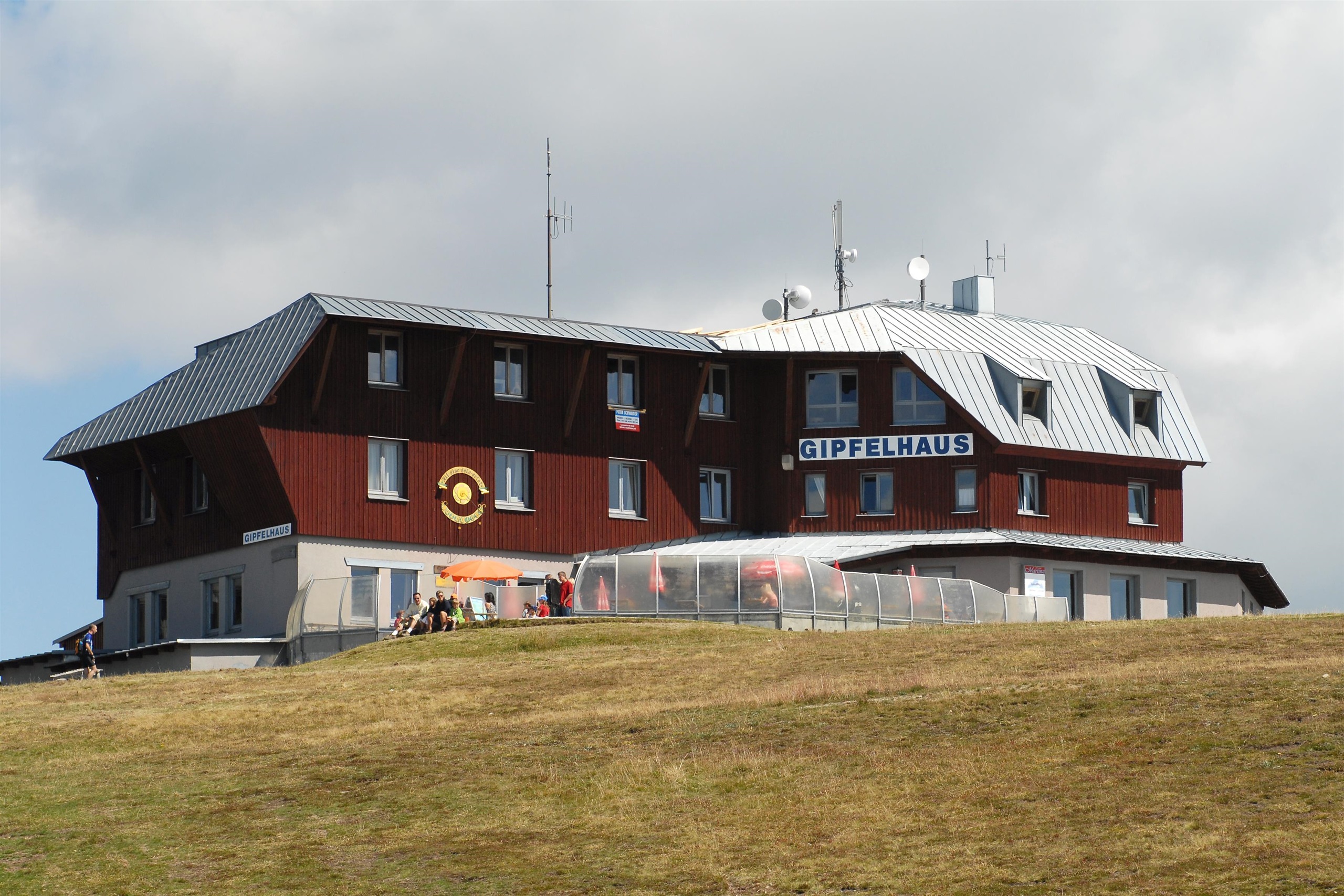
Gerlitzen Gipfelhaus
5.2 km away, in Treffen am Ossiacher See
A summit restaurant at 1,911 m on top of the Gerlitzen, at the mountain lift's top station, with a panorama over the Ossiacher See and the Julian Alps.
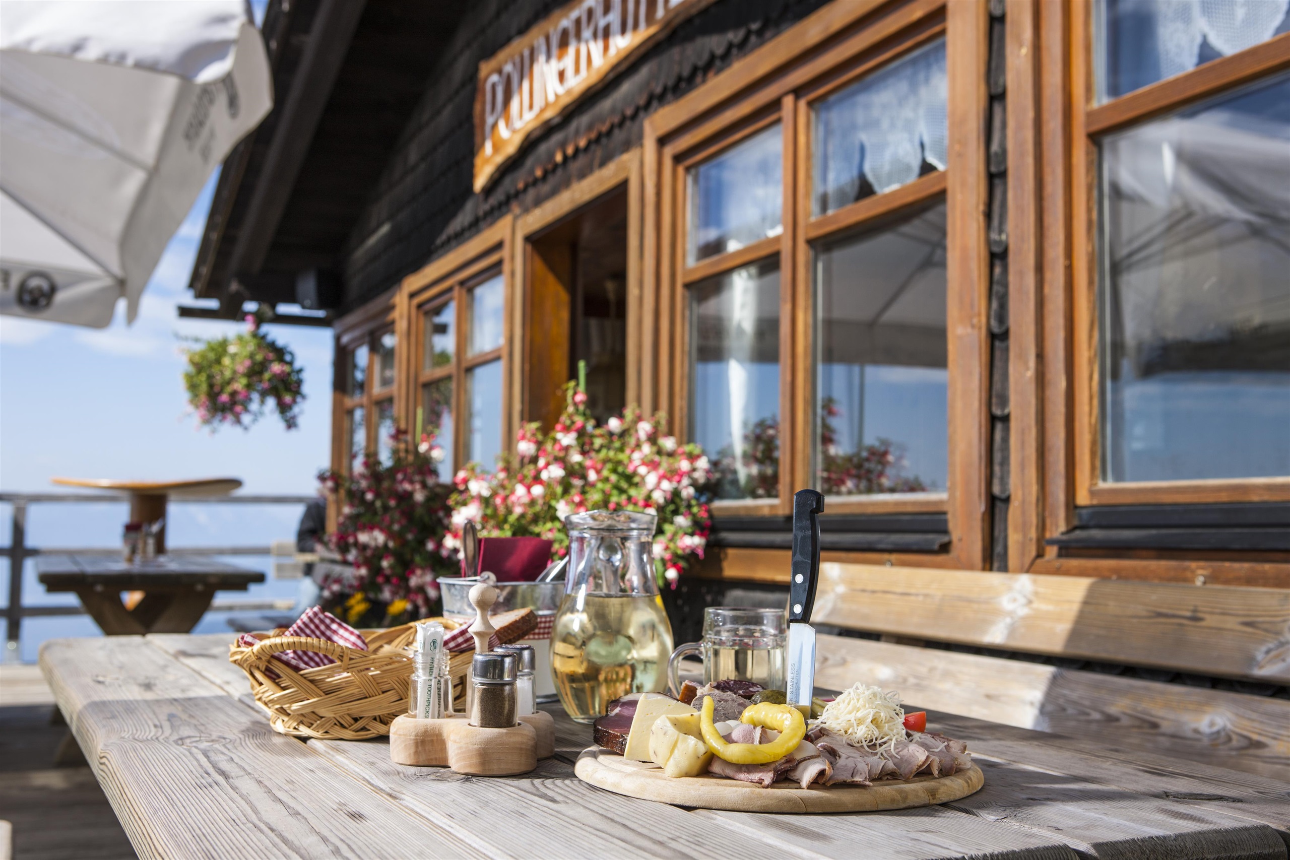
Pöllinger Hütte
5.9 km away, in Treffen am Ossiacher See
An alpine hut on the southern slopes of the Gerlitzen above the Ossiacher See, serving regional home cooking beside the ski runs and walking paths.
Sunn Alm Gerlitzen
6.3 km away, in Treffen am Ossiacher See
A modern mountain restaurant and bar on the Gerlitzen slopes near the Kanzelhöhe, serving Italian and regional dishes with a sun terrace above the Ossiacher See.
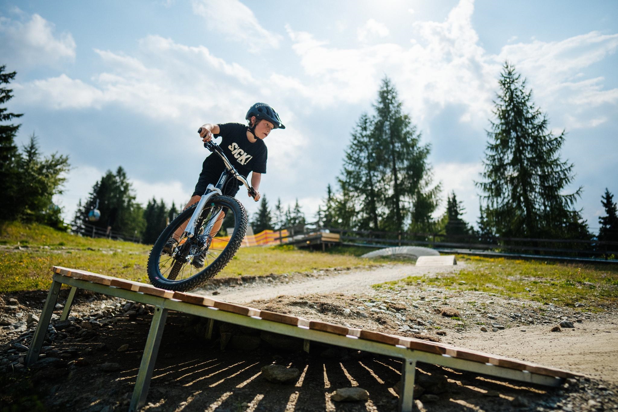
Kids Bike Park Gerlitzen
6.3 km away, in Treffen am Ossiacher See
A beginner bike park on the Gerlitzen above the Ossiacher See, where children practise on easy lines and obstacles before moving on to the mountain's trails.
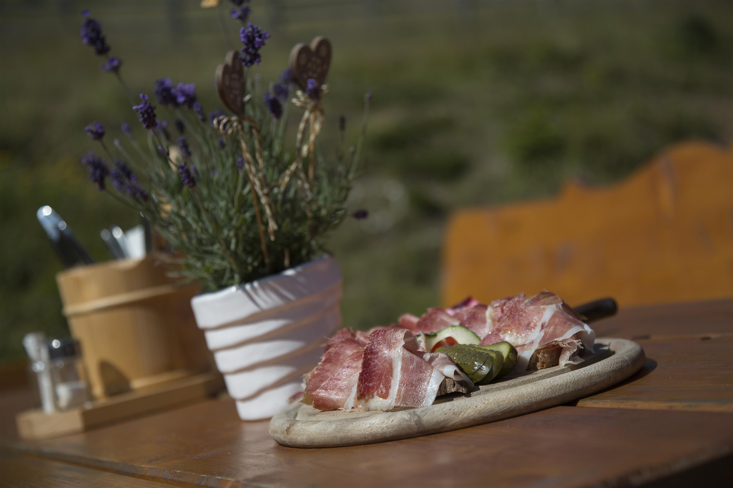
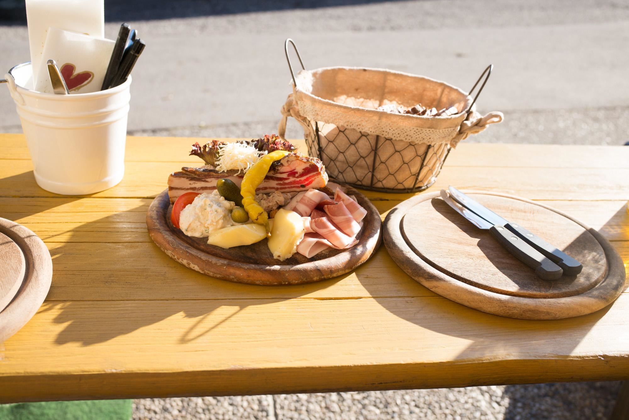
Jausenstation Steinhauser
6.6 km away, in Treffen am Ossiacher See
A snack station with beer garden at Treffen near the Ossiacher See, serving cold platters and home cooking to walkers and cyclists.
Sigis Einkehr
6.6 km away, in Treffen am Ossiacher See
A snack station at Verditz in the hills northwest of Villach, a simple stop for home cooking on the walking and touring routes above the village.
Pilz- & Puppen-Museum
6.7 km away, in Treffen am Ossiacher See
A private museum at Treffen near the Ossiacher See combining a collection of mushroom models with historic dolls and toys.
Observatorium Kanzelhöhe
6.7 km away, in Treffen am Ossiacher See
A solar observatory at the Kanzelhöhe on the Gerlitzen, a University of Graz research station that opens for guided visits.
Bergresort Gerlitzen - Alps Kitchen
6.8 km away, in Treffen am Ossiacher See
A mountain restaurant at the Bergresort on the Gerlitzen slopes above Treffen, cooking for skiers in winter and walkers in summer.
Nothing of this kind in Arriach.
Routes
Traumbogen Höhenrundweg
A short contemplative circuit around the summit of the Gerlitzen Alpe, level enough for an easy hour on the tops.
- 4.2 km
- Distance
- 158 m
- Ascent
- 1 h 23 min
- Duration
- 54
- Check-ins
Kostaleweg
A culinary traverse below the Gerlitzen summit with a sporting edge, linking the Pöllinger Hütte and the Kammerhütte on gently falling ground.
- 7.3 km
- Distance
- 122 m
- Ascent
- 2 h 26 min
- Duration
- 82
- Check-ins
Weg des Buches, 5. Etappe: Arriach - Feld am See
The fifth day of the Weg des Buches, crossing from Arriach north to Feld am See in about five and a half hours of walking.
- 17.4 km
- Distance
- 381 m
- Ascent
- 5 h 8 min
- Duration
- 1
- Check-ins
Gerlitzen - Pistentour Klösterle
A moderate 900 m ski ascent of the Gerlitzen from Klösterle, following the pistes up to the Gipfelhaus at the top.
- 4.3 km
- Distance
- 894 m
- Ascent
- 0 m
- Descent
- 2 h 26 min
- Duration
- 57
- Check-ins
Gerlitzen - Skitourenweg Klösterle
The marked ski-touring line from Klösterle to the Gerlitzen summit, the same 900 m of climb spread over a longer and quieter route than the piste.
- 9.1 km
- Distance
- 897 m
- Ascent
- 891 m
- Descent
- 3 h 27 min
- Duration
- 57
- Check-ins
Vom Ossiacher See auf die Gerlitzen Alpe
A long day from the lake shore up to the Gipfelhaus at 1,909 m on the Gerlitzen Alpe, with the campsite belt of Ossiach at the start.
- 78.8 km
- Distance
- 1 837 m
- Ascent
- 8 h 43 min
- Duration
- 63
- Check-ins
Wassererlebniswelt Neugarten Almsee
A short descent from the Gerlitzen summit to the Neugarten Almsee and on to the middle station, with the gondola available for the way back up.
- 7.3 km
- Distance
- 533 m
- Ascent
- 3 h 30 min
- Duration
- 70
- Check-ins
 Gerlitzen 1 909 m
 Gipfelhaus Gerlitzen 1 909 m
 Speicher Waldtratte 1 454 m
- Gerlitzen Gipfelhaus Restaurant 1 908 m
- Sunn Alm Gerlitzen 1 443 m
- Kammerhütte 1 627 m
- +3
Wöllaner Nock
A gentle ski ascent of some 850 m above Arriach, counted among the region's forgotten classics and rarely busy.
- 11.0 km
- Distance
- 849 m
- Ascent
- 849 m
- Descent
- 3 h 48 min
- Duration
- 25
- Check-ins
Genuss-Gondeln vom Gerlitzen Gipfel zum Ossiacher See
A gondola-assisted descent from the summit of the Gerlitzen at 1,909 m down to the shore of the Ossiacher See at Annenheim.
- 27.0 km
- Distance
- 0 m
- Ascent
- 2 h 53 min
- Duration
- 54
- Check-ins
Wöllaner Nock Runde
A short but steep 6 km round over the Wöllaner Nock and its forward summit, with the Walderhütte and Geigerhütte for a stop.
- 6.2 km
- Distance
- 473 m
- Ascent
- 3 h 6 min
- Duration
- 28
- Check-ins
Rund um die Gerlitzen Alpe
A full circuit around the massif above the north shore, with the Edelweiss Hütte at just over 1,000 m the high point.
- 55.3 km
- Distance
- 835 m
- Ascent
- 5 h 41 min
- Duration
- 6
- Check-ins
Mittelpunkt Kärnten
On lanes and footpaths past scattered hill farms above Arriach to the spot marked as the geographic centre of Carinthia.
- 10.8 km
- Distance
- 504 m
- Ascent
- 3 h 46 min
- Duration
No routes of this kind in Arriach yet.
The region's own picks

Featured route
Traumbogen Höhenrundweg
A short contemplative circuit around the summit of the Gerlitzen Alpe, level enough for an easy hour on the tops.
Planning a trip to Arriach?
Everything else Carinthia has, in one place


Take Arriach with you into the mountains
Every route on this page with 3D terrain, GPX navigation and offline maps — including the valleys with no signal.
Data sources
- Official website: visitvillach.at ↗
- Routes and highlights: Villach Tourismus
- Published as open data by the tourist boards named above.
- Region summary generated from the board's own material.
