
Curated by Valtellina Outdoor
Aprica
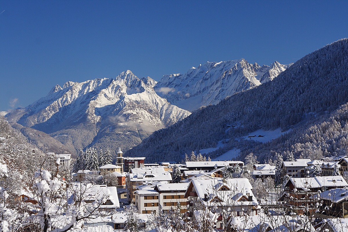
Valtellina resort on the pass between the Adda and the Camonica valleys, with ski slopes on both flanks.
Photo: Noperation · CC BY-SA 4.0 licence
- 11Highlights
- 20Routes
- Featured summit · Monte Belvedere
Highlights
All 11 from neighbouring places
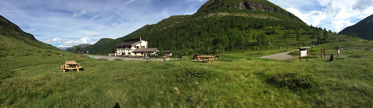
Rifugio Passo del Vivione
10.4 km away, in Schilpario
A hut at the Passo del Vivione, the high road pass between the Val di Scalve and the Val Camonica.
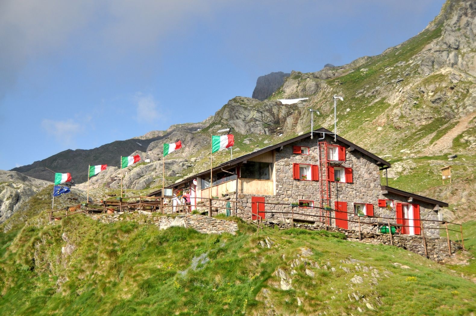
Rifugio Tagliaferri
12.4 km away, in Schilpario
A hut below the Pizzo Camino above Schilpario, in the upper Val di Scalve.
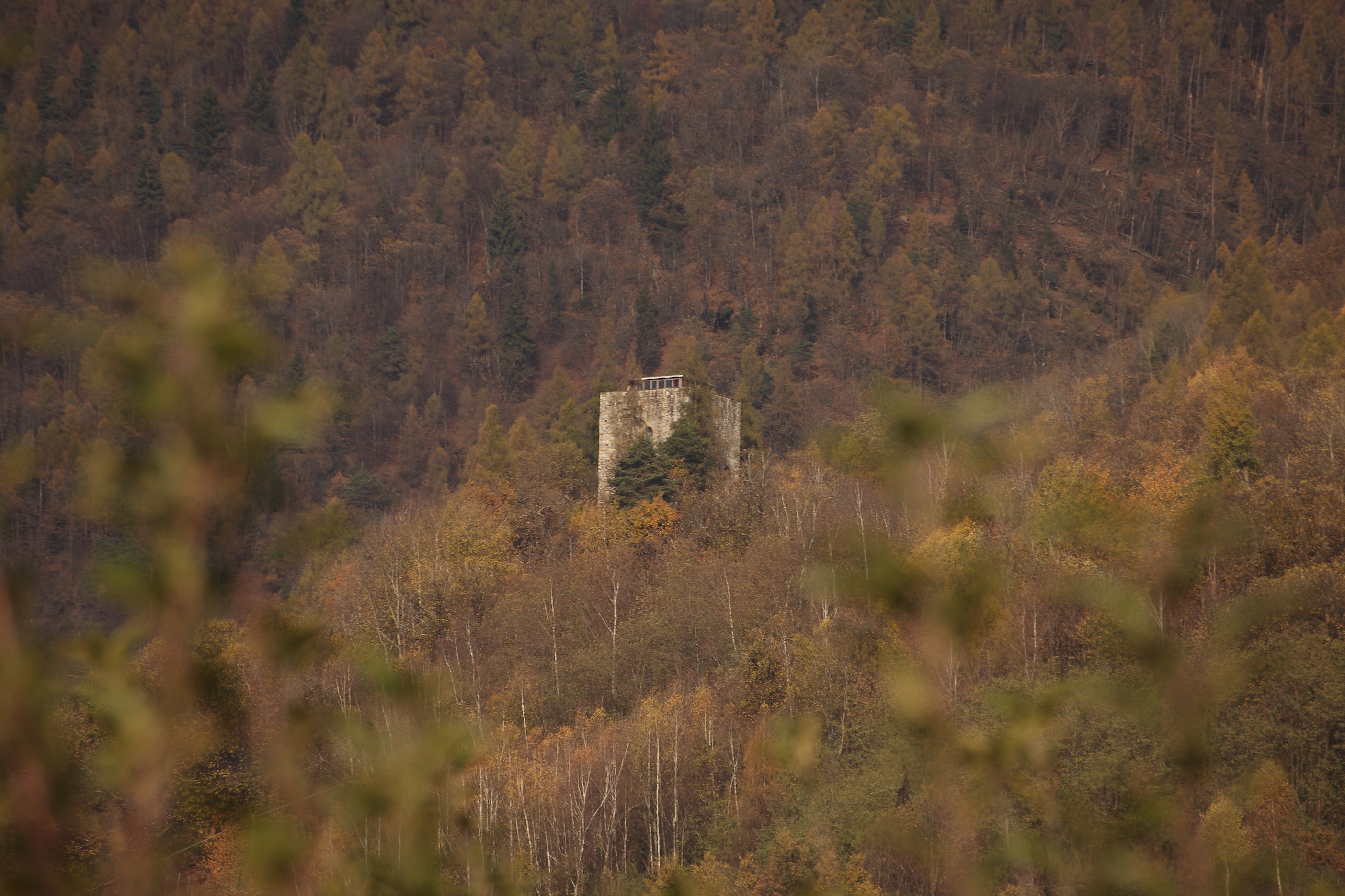
Torre di Castionetto
12.9 km away, in Chiuro
A medieval tower above Chiuro, on the vineyard terrace facing the Orobie.
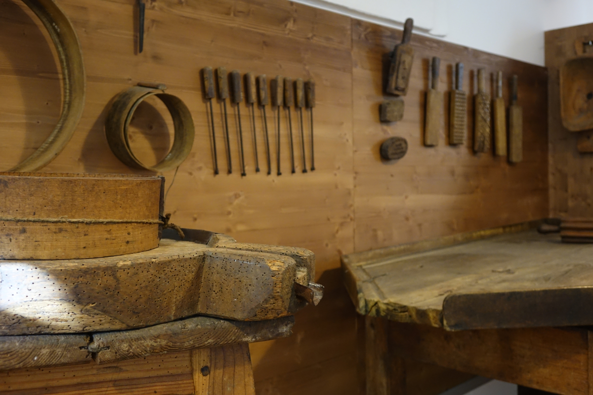
Museo Etnografico
13 km away, in Schilpario
The ethnographic museum of Schilpario, on the working life of the Val di Scalve.
Chiesa dei SS. Giacomo e Andrea
13.2 km away, in Chiuro
Chiuro's parish church, among the Valtellina vineyards on the right bank of the Adda.
Chiesa di San Lorenzo
13.4 km away, in Ponte in Valtellina
A church on the Valtellina slope below Ponte, among the vineyard terraces.
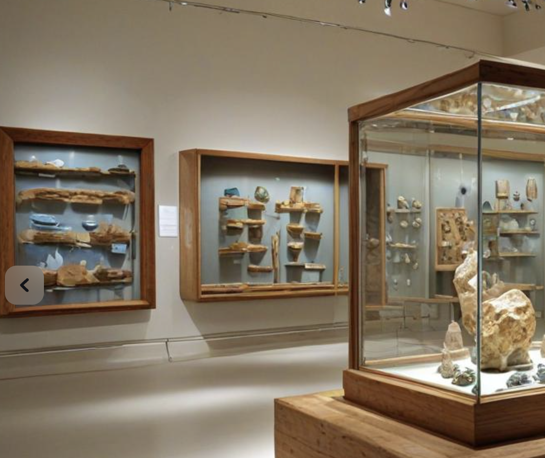
MUSEO DEI MINERALI E FOSSILI
13.7 km away, in Schilpario
A museum of minerals and fossils at Schilpario, drawn from the iron workings of the Val di Scalve.
Museo parrocchiale ed etnografico di Ponte in Valtellina
13.8 km away, in Ponte in Valtellina
A parish and folk museum at Ponte in Valtellina: church silver beside the tools of the terraces.
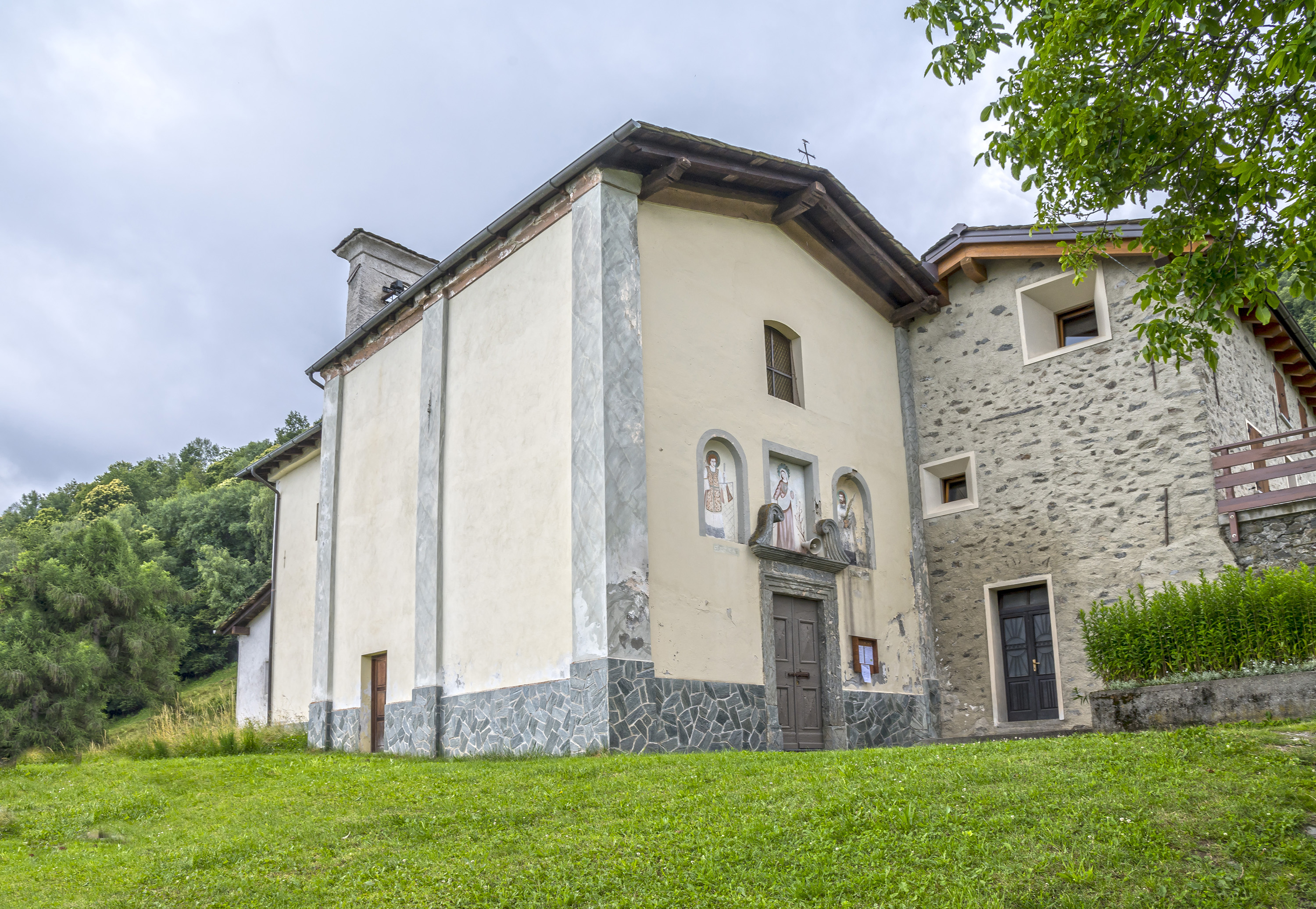
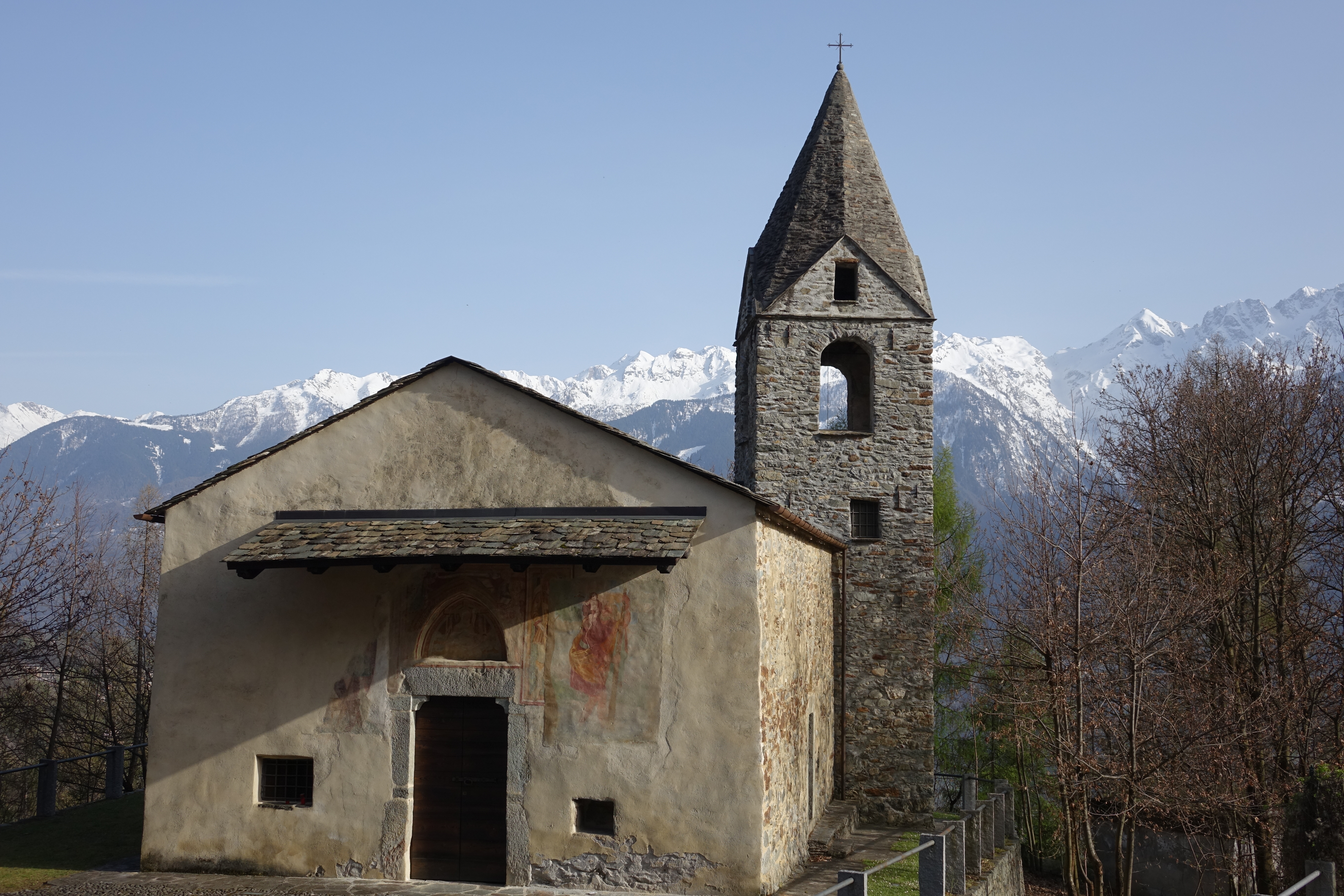
Chiesa dei Santi Rocco, Sebastiano e Cristoforo
14 km away, in Ponte in Valtellina
A votive church at Ponte in Valtellina, raised against plague and frescoed inside.
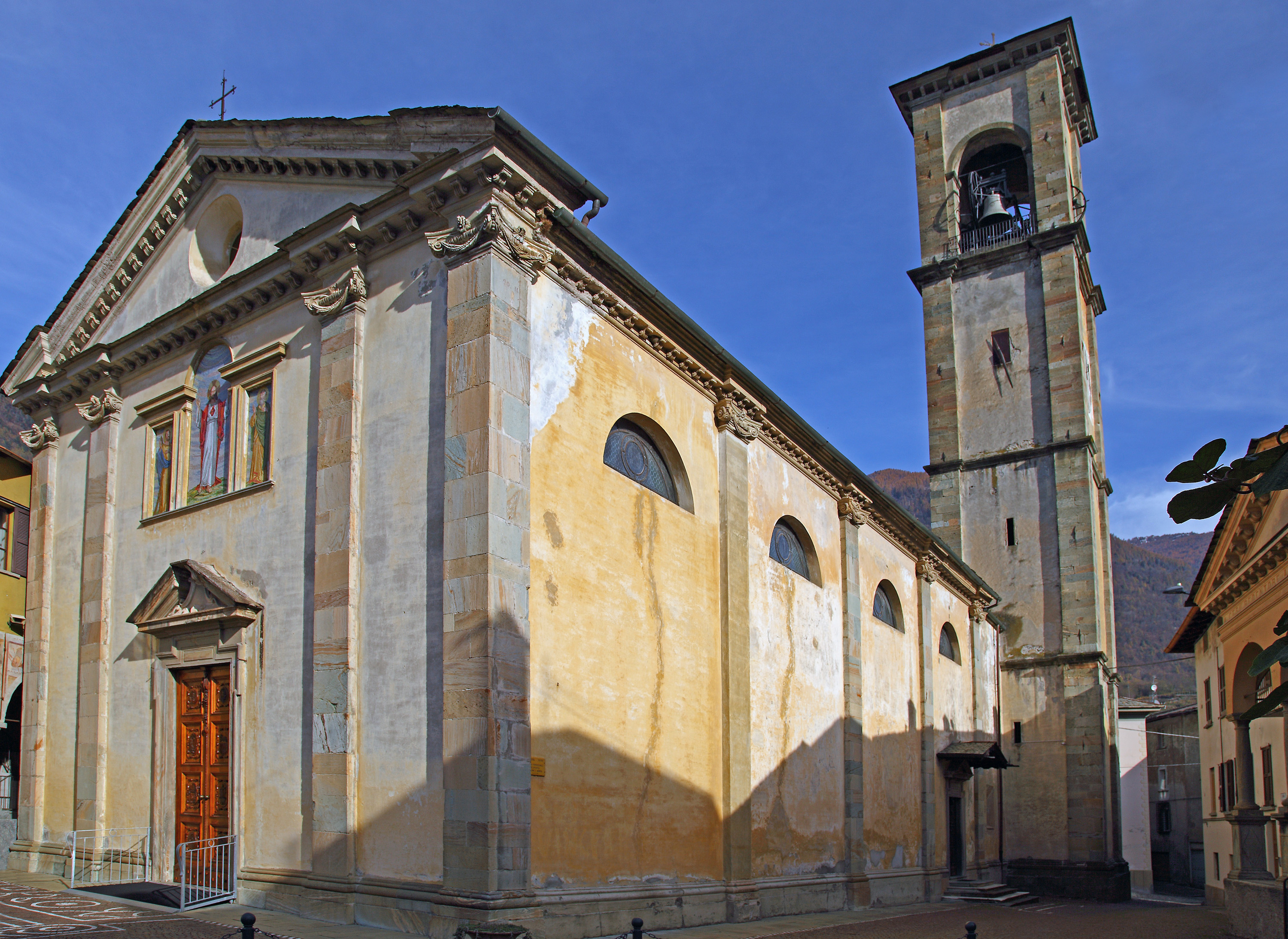
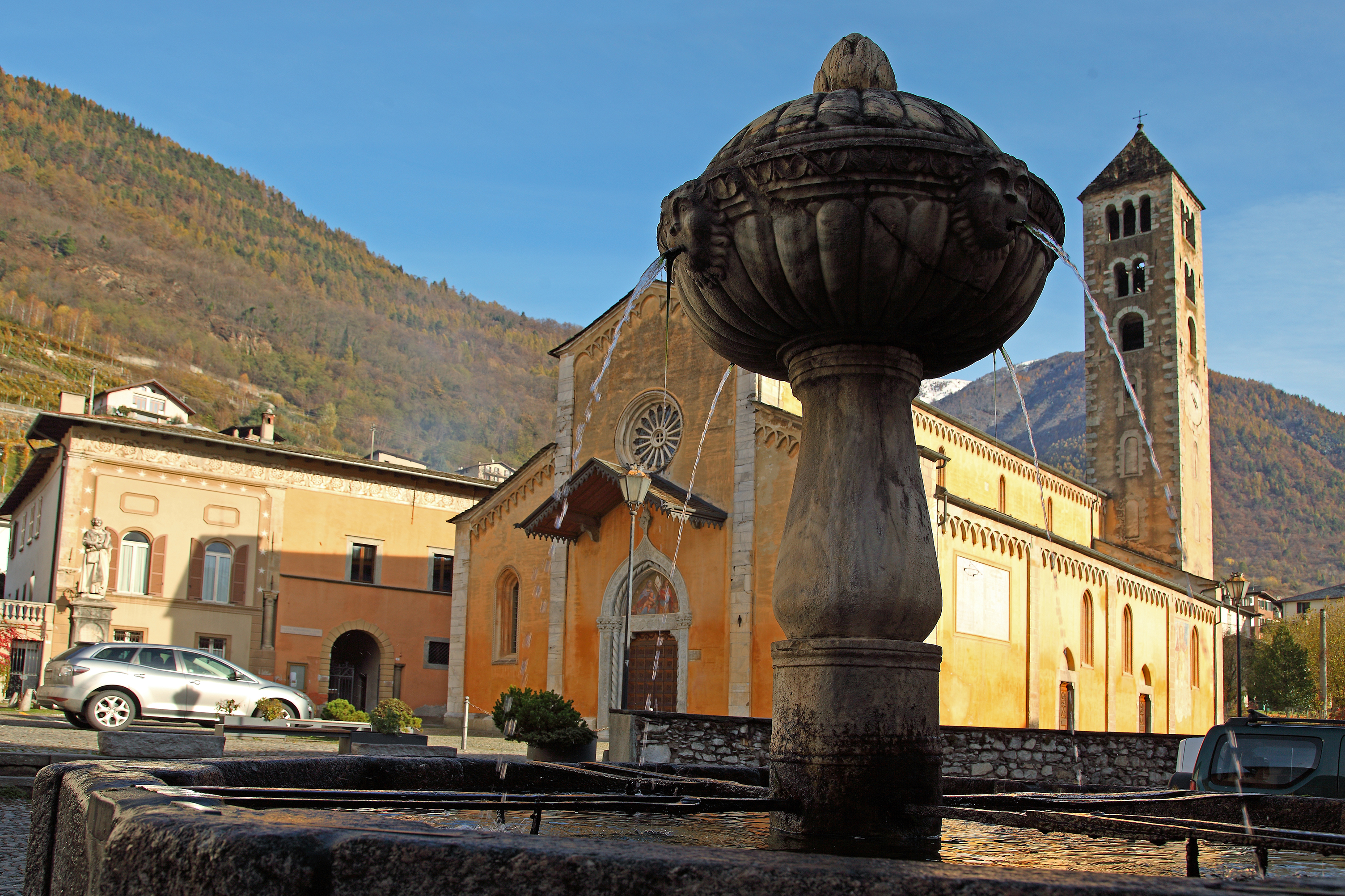
Chiesa di San Maurizio
14 km away, in Ponte in Valtellina
Ponte in Valtellina's parish church, with a Renaissance front and a tall campanile.
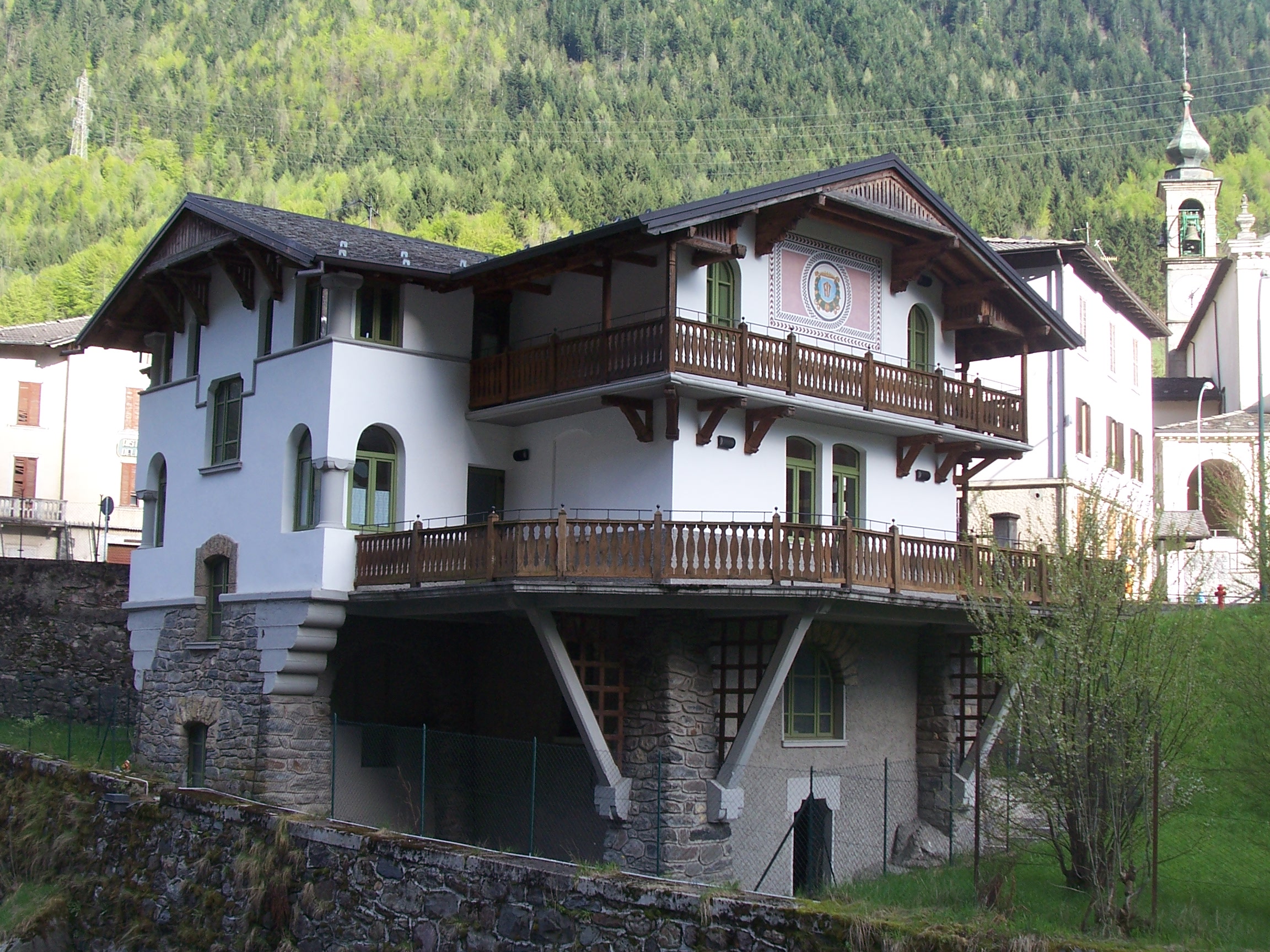
Museo dell’Identità e della Cultura Locale
14.9 km away, in Valbondione
A museum at Valbondione on shepherding, mining and life at the head of the Val Seriana.
 Historic site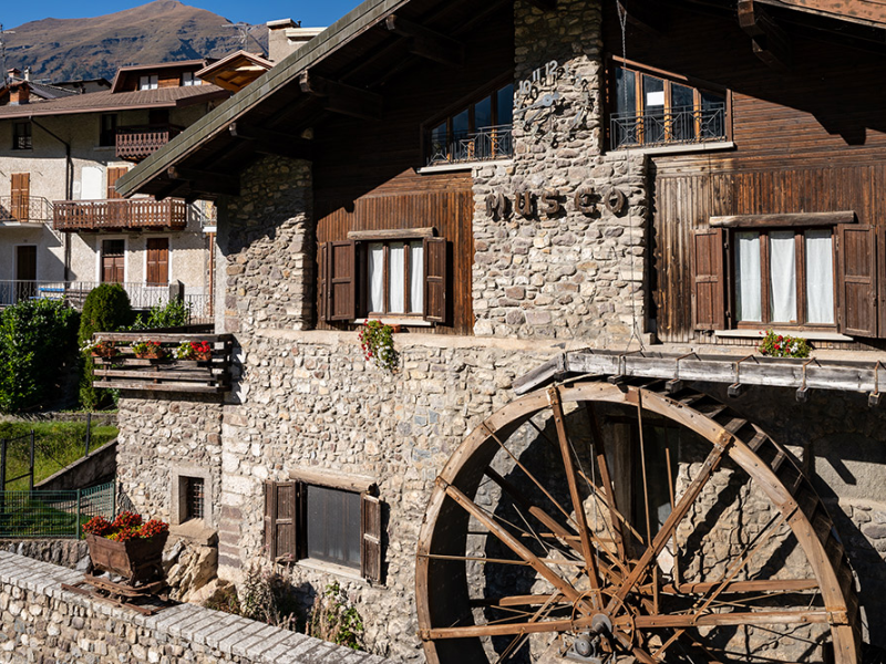
Nothing of this kind in Aprica.
Routes
Palabione, Baradello, Aprica
A link from the Palabione and Baradello lifts back down to Aprica, first through woods and then on gravel road.
- 4.5 km
- Distance
- 0 m
- Ascent
- 1 h 31 min
- Duration
- 45
- Check-ins
 Baita Picia 1 461 m
- Baita Pidac 1 411 m
- Ristoro Pasò 1 678 m
- Baita Bortulas 1 418 m
- Baita Conti 1 419 m
- Caffe Tognolini 1 175 m
- +5
Open route Valtellina OutdoorLoop route Aprica - Località Bratte - Colonia Bustese
A loop from the centre of Aprica by the Ogliolo bridge up to Bratte and the Colonia Bustese, with Pian di Gembro and Monte Padrio in view.
- 7.7 km
- Distance
- 296 m
- Ascent
- 2 h 33 min
- Duration
- 30
- Check-ins
- Baita Pidac 1 411 m
- Baita Bortulas 1 418 m
- Le Betulle 1 122 m
- Abete 1 148 m
- Baita Conti 1 419 m
- Residence Sporting club 1 205 m
- +1
Open route Valtellina OutdoorRifugio Valtellina 1920 m Malga Magnolta 1945 m
A steep climb from Aprica through San Pietro and up a ski-slope track to the Valtellina hut and Malga Magnolta at about 1,900 m.
- 8.7 km
- Distance
- 1 017 m
- Ascent
- 5 h 13 min
- Duration
- 40
- Check-ins
- Ristoro Malga Magnolta 1 945 m
- Rifugio Valtellina 1 919 m
- Ristoro Pasò 1 678 m
- Residence Sporting club 1 205 m
- Le Lische 1 246 m
Open route Valtellina OutdoorPalabione - Val Sorda Trail n. B328
A demanding bike descent from the top of the Palabione gondola, with tight technical hairpins in the wood, ending at the Magnolta lift.
- 4.6 km
- Distance
- 0 m
- Ascent
- 35 min
- Duration
- 22
- Check-ins
Open route Valtellina OutdoorAprica - Padrio - Pisce'
A long ride from Aprica over Pian di Gembro to Trivigno and the Padrio pastures, returning by the gravel road up to Piscè with its choice of descents.
- 26.3 km
- Distance
- 823 m
- Ascent
- 3 h 1 min
- Duration
- 30
- Check-ins
 Motti del Laghetto 1 905 m
 Passo dell'Aprica 1 172 m
- Bar Ristoro Pian di Gembro 1 357 m
- Centro Sport Trivigno 1 793 m
- Agriturismo Ai Conti di Piscè 1 437 m
- Ristorante Le Betulle 1 347 m
- +5
Open route Valtellina OutdoorThe Gran Via del Gallo, Magnolta - Palabione
A link between the tops of the Magnolta and Palabione lifts at Aprica, following the line of the winter pistes.
- 3.6 km
- Distance
- 140 m
- Ascent
- 1 h 33 min
- Duration
- 41
- Check-ins
Open route Valtellina OutdoorDal Rifugio Valtellina al Bivacco Aprica
A route from the Valtellina hut on path 327 past the Palabione lake and Colle Pasò, then over the Bocchetta dell'Aquila to the Aprica bivouac.
- 3.8 km
- Distance
- 598 m
- Ascent
- 2 h 48 min
- Duration
- 15
- Check-ins
- Rifugio Valtellina 1 919 m
 Lago Palabione 2 109 m
- Bivacco Aprica 2 227 m
- Bocchetta dell'Aquila 2 443 m
I laghi di Torena in Val Belviso
A climb to the Torena lakes in the Val Belviso, the most easterly of the Orobie valleys, above the Belviso hydroelectric reservoir.
- 10.9 km
- Distance
- 923 m
- Ascent
- 5 h 37 min
- Duration
- 22
- Check-ins
Mortirolo Pass (from Aprica - Pian di Gembro - Trivigno)
A rolling ride from Aprica over the Pian di Gembro reserve and Trivigno to the Mortirolo pass, high enough to suit late spring through autumn.
- 28.3 km
- Distance
- 893 m
- Ascent
- 3 h 7 min
- Duration
- 23
- Check-ins
- Passo della Foppa 1 852 m
- Bar Ristoro Pian di Gembro 1 357 m
- Centro Sport Trivigno 1 793 m
- Passo del Mortirolo 1 852 m
- Ristorante Le Betulle 1 347 m
- Lago di Guspessa "Lagazzuolo" 1 824 m
- +6
Open route Valtellina OutdoorThemed trail "Wood is life" no. 341
A short themed loop from the top of the Magnolta cable car past the fishing lake and the Malga Magnolta farm, with boards on the uses of wood.
- 2.3 km
- Distance
- 124 m
- Ascent
- 48 min
- Duration
- 41
- Check-ins
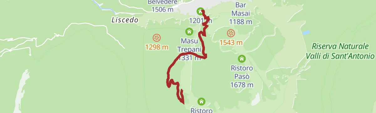
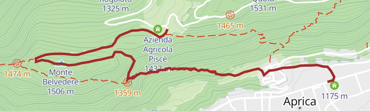
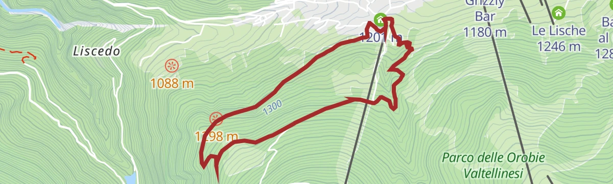
Open route Valtellina OutdoorFrom Aprica to the Belvedere
A mule track from Aprica up terraced hay meadows now filling with ash trees to the Belvedere, extendable towards Piscè and Pian di Gembro.
- 6.7 km
- Distance
- 424 m
- Ascent
- 2 h 52 min
- Duration
- 2
- Check-ins
Open route Valtellina OutdoorMagnolta - Val Sorda Trail n. B328 bis
A steep, technical bike trail branching off above Magnolta and dropping through the Val Sorda to rejoin the Palabione descent.
- 4.7 km
- Distance
- 60 m
- Ascent
- 2 h 6 min
- Duration
- 37
- Check-ins
Open route Valtellina OutdoorMalga Palabione - Malga Magnolta trail no. 328
A short path from the Pasò refreshment point at the top of the Palabione lift, west between fir and larch to Malga Magnolta.
- 2.1 km
- Distance
- 288 m
- Ascent
- 1 h 11 min
- Duration
- 26
- Check-ins
Open route Valtellina OutdoorMagnolta Trail n. B326
An intermediate wooded descent from the Magnolta gondola back to its base station, fast and flowing rather than technical.
- 4.8 km
- Distance
- 21 m
- Ascent
- 1 h 55 min
- Duration
- 17
- Check-ins
Open route Valtellina OutdoorCaio Trial n. B351
A short, technical descent from Piscè over the Monte Belvedere, twisting down through the trees in tight hairpins to finish at Passo dell'Aprica.
- 3.1 km
- Distance
- 60 m
- Ascent
- 1 h 8 min
- Duration
- 16
- Check-ins
- Monte Belvedere 1 506 m
- Passo dell'Aprica 1 172 m
- Agriturismo Ai Conti di Piscè 1 437 m
- Azienda Agricola Piscè 1 437 m
Open route Valtellina OutdoorGentle Forest Trail
An easy family route in the woods above Aprica, with panels written and drawn by the village primary school along the way.
- 4.5 km
- Distance
- 243 m
- Ascent
- 1 h 44 min
- Duration
- 11
- Check-ins
Open route Valtellina OutdoorSentiero Valentina no. 353
A path above the sanctuary at Aprica, climbing meadows and dry-stone walls into spruce wood, with the Adamello group across the valley.
- 2.6 km
- Distance
- 225 m
- Ascent
- 1 h 5 min
- Duration
- 7
- Check-ins
Open route Valtellina OutdoorAlpini Trail n. B352
A route on the Monte Belvedere above Aprica, starting past the antennas on the top and dropping west through the wood to the farm at Piscè.
- 5.3 km
- Distance
- 140 m
- Ascent
- 1 h 49 min
- Duration
- 5
- Check-ins
Open route Valtellina OutdoorAprica - Monte Belvedere path no. 351
A short steep path from the Dosso quarter of Aprica, past a chapel, up to the viewpoint on Monte Belvedere over the whole basin.
- 1.8 km
- Distance
- 283 m
- Ascent
- 1 h 5 min
- Duration
- 2
- Check-ins
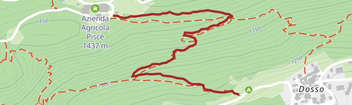
Open route Valtellina OutdoorAprica - Piscè path no. 351/B
A steady path with easy hairpins from the Dosso quarter of Aprica up to Piscè, branching off the Monte Belvedere trail.
- 1.2 km
- Distance
- 208 m
- Ascent
- 47 min
- Duration
- 1
- Check-ins
Open route Valtellina Outdoor




No routes of this kind in Aprica yet.
The region's own picks

Featured route
Palabione, Baradello, Aprica
A link from the Palabione and Baradello lifts back down to Aprica, first through woods and then on gravel road.
Planning a trip to Aprica?
Everything else Lombardy has, in one place


Take Aprica with you into the mountains
Every route on this page with 3D terrain, GPX navigation and offline maps — including the valleys with no signal.
Data sources
- Official website: italia.it ↗
- Routes and highlights: Valtellina Outdoor, Sondrio e Valmalenco, Visitbergamo, Val Seriana, in Lombardia
- Published as open data by the tourist boards named above.
- Region summary generated from the board's own material.
