

Curated by Visit Ossola
Antrona Schieranco
Ossola comune of the upper Antrona valley, a nature park of dammed lakes and old Walser mule paths.
- 2Highlights
- 6Routes
Highlights
13 from neighbouring places
Parco Naturale Alta Valle Antrona
A nature park of dammed lakes and Walser mule paths at the head of the Val d'Antrona.
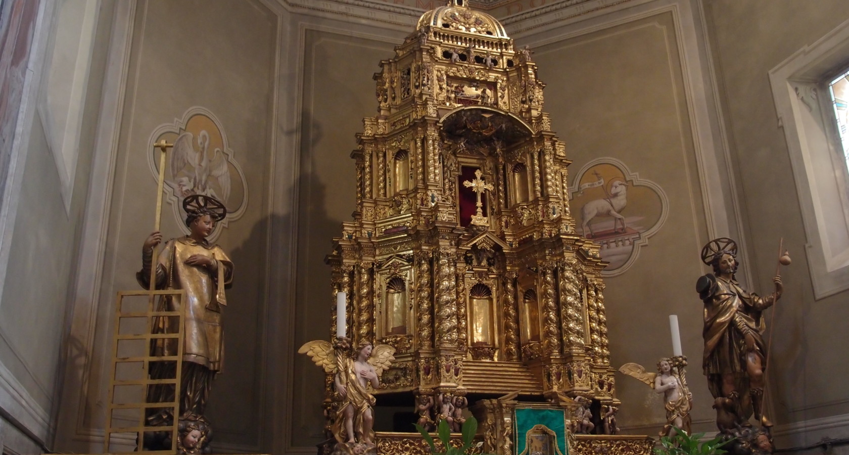
Chiesa Parrocchiale San Lorenzo
The parish church of Antrona Schieranco, in the Ossola side valley.
Alpe Colma
7.9 km away, in Calasca-Castiglione
A high pasture above Calasca-Castiglione, on the Val Grande boundary.
Casa all'Alpe Gaggetto
9.5 km away, in Calasca-Castiglione
A stone house on the Alpe Gaggetto above the Valle Anzasca, on the Val Grande paths.
Chiesa Parrocchiale di San Lorenzo a Bognanco
11.2 km away, in Bognanco
The parish church of San Lorenzo at Bognanco, consecrated in 1535 and reworked in the baroque.
Terme di Bognanco
11.2 km away, in Bognanco
The spa of Bognanco, drawing on mineral springs used for a century and a half west of Domodossola.
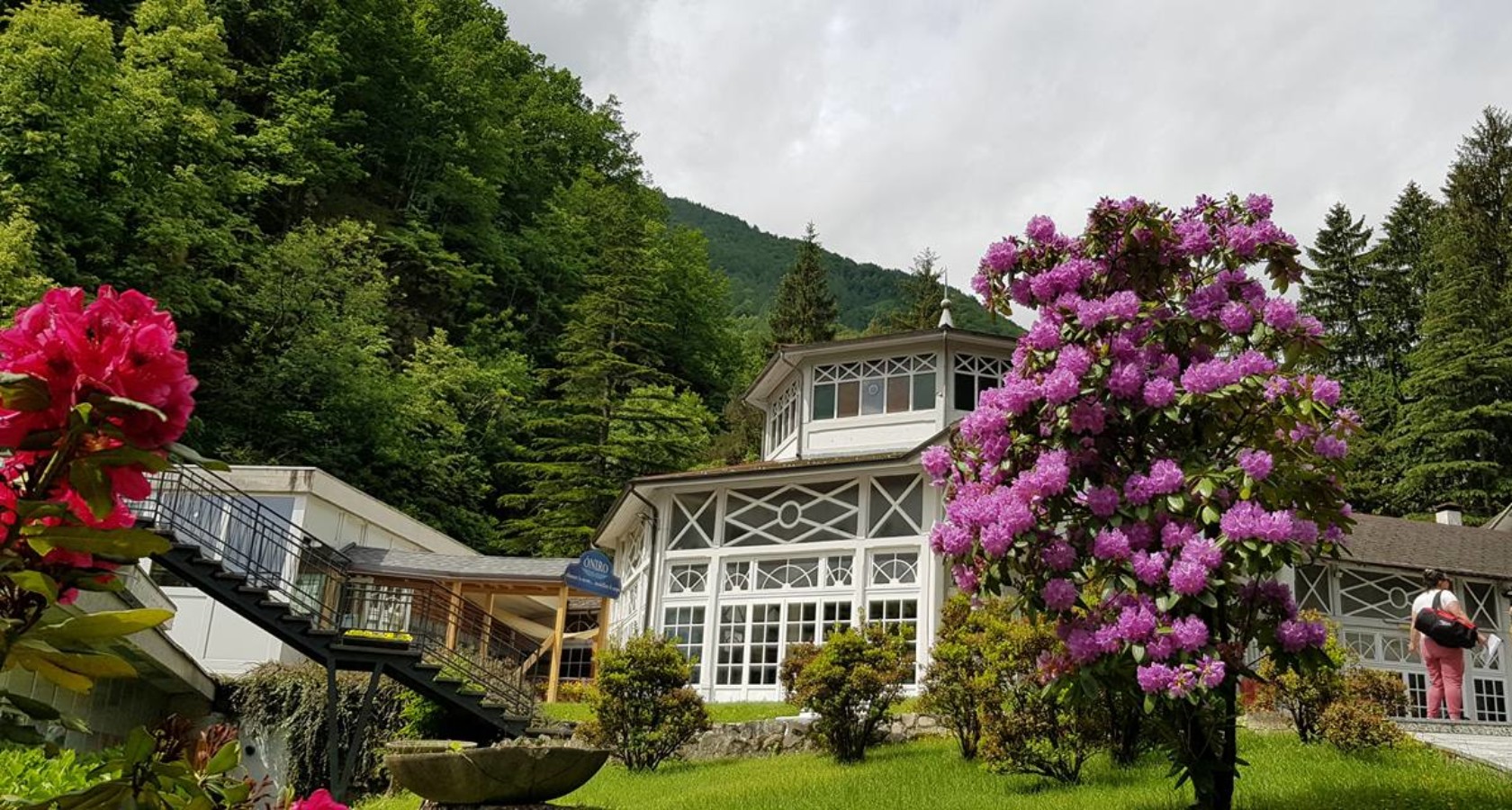
Óniro
11.2 km away, in Bognanco
A thermal centre at Bognanco with two mineral pools, a steam room and treatment rooms.
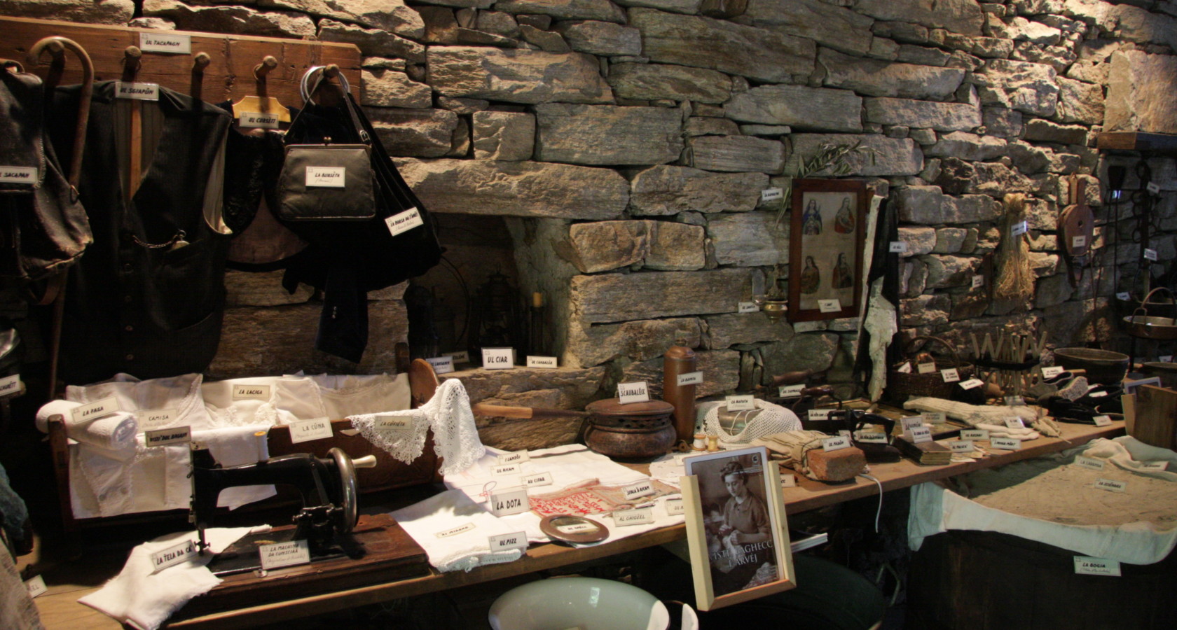
Museo della civiltà contadina
11.7 km away, in Villadossola
A museum at Villadossola on Ossola farming before the ironworks came.
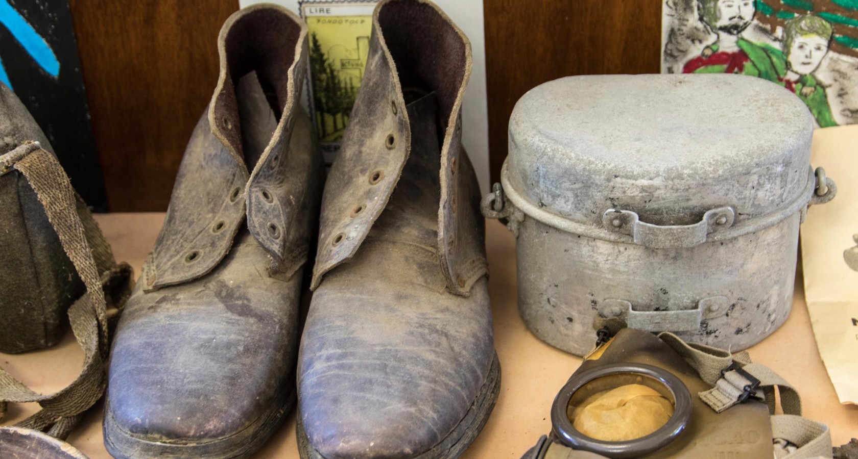
Museo storico della Resistenza
12.7 km away, in Villadossola
A museum at Villadossola on the Ossola partisan republic of 1944.
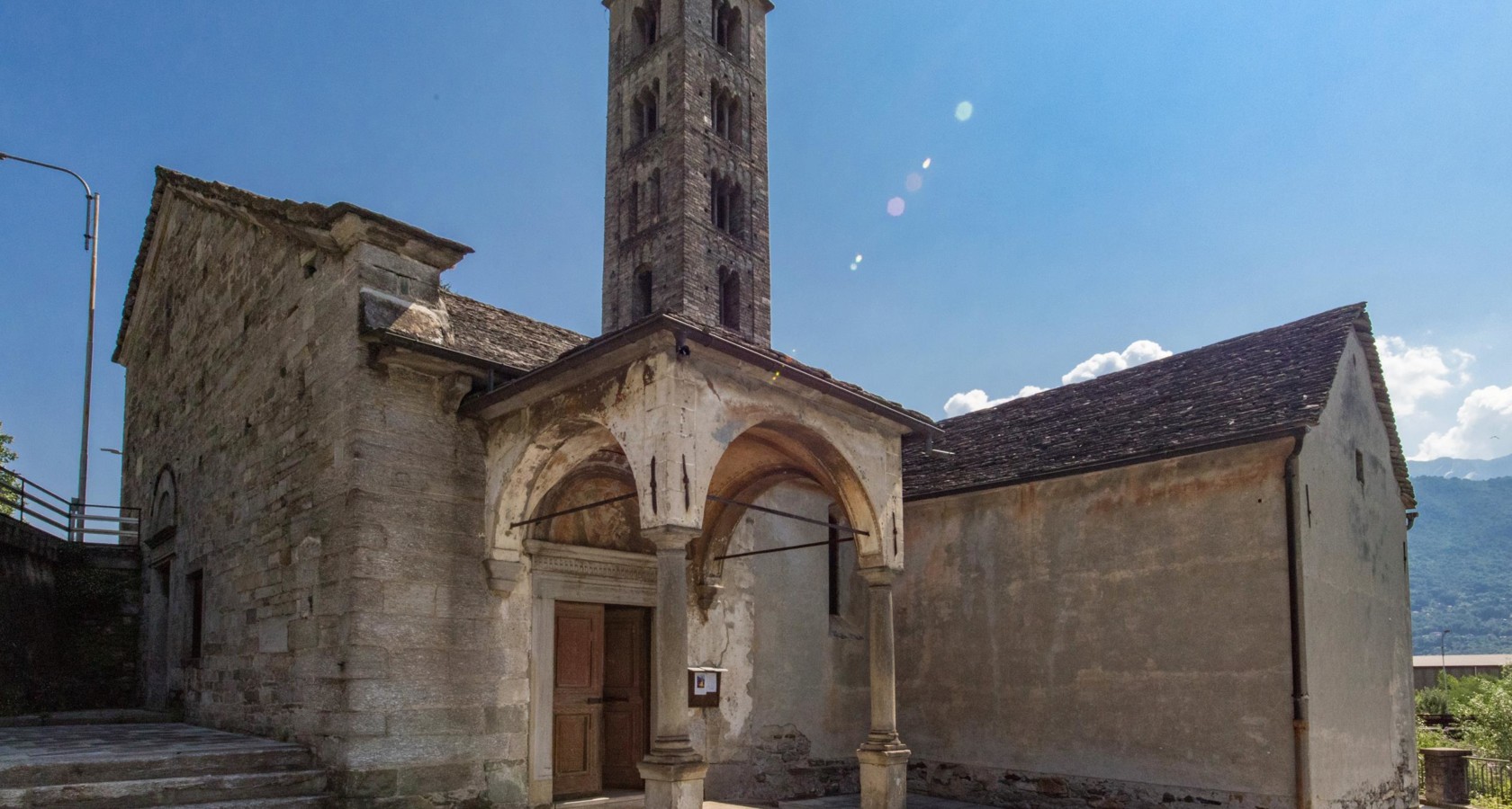
Chiesa di San Bartolomeo di Villadossola
13 km away, in Villadossola
Villadossola's Romanesque church, its stone campanile standing beside the modern town.
Museo Casa Walser di Macugnaga
13.4 km away, in Macugnaga
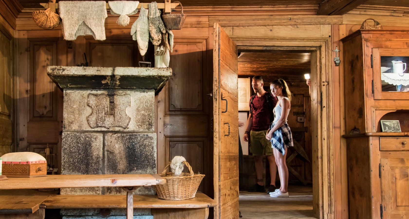
A seventeenth-century Walser house at Macugnaga, furnished as its German-speaking settlers left it.
Abenteuerpark Domobianca
13.5 km away, in Domodossola
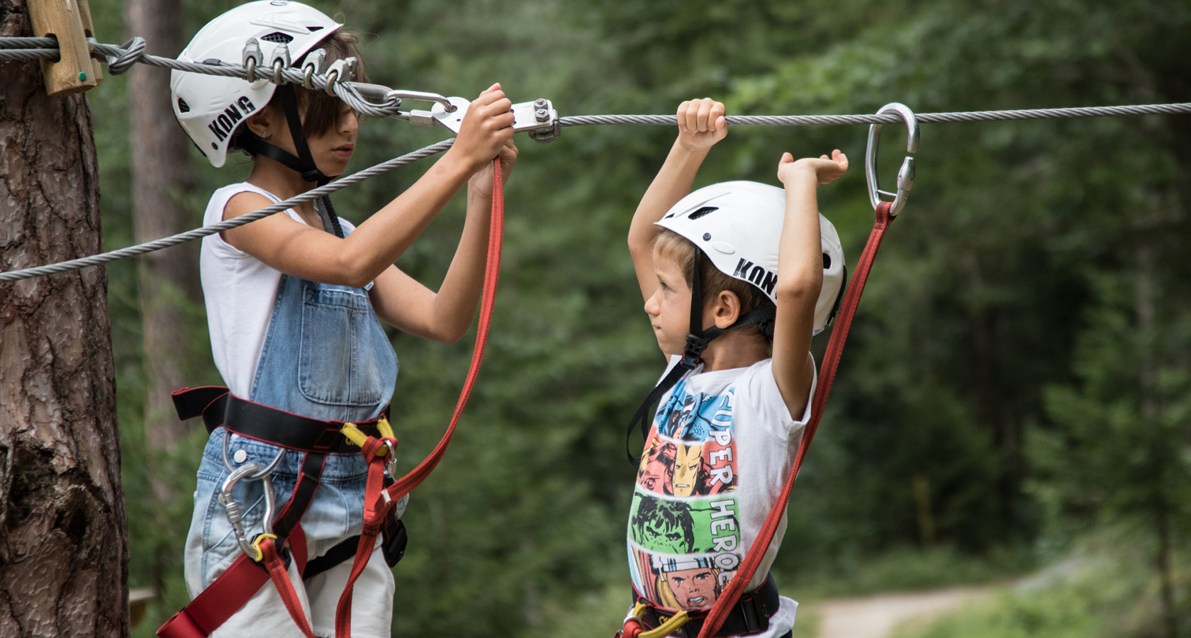
A rope and zip course in the woods at Domobianca above Domodossola.
Miniera d’oro della Guia
13.5 km away, in Macugnaga
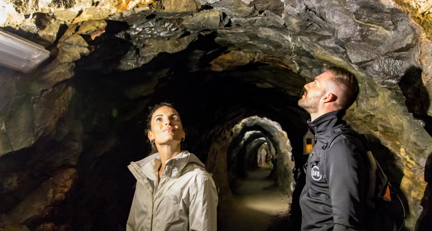
A gold mine on the flank of Monte Rosa, worked into the twentieth century and now open underground.
Antico torchio di Monteossolano
13.7 km away, in Domodossola
A great timber wine press at Monteossolano above Domodossola, once shared by the hamlet.
Museo della Montagna e del Contrabbando
13.9 km away, in Macugnaga
A museum at Macugnaga on climbing Monte Rosa and on the smuggling that crossed its passes.
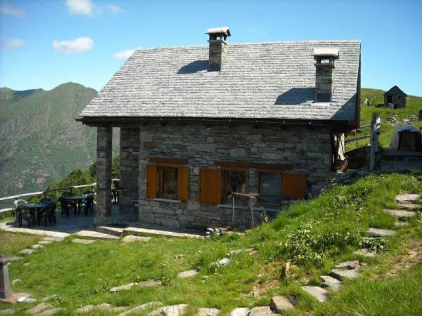
 Mountain hut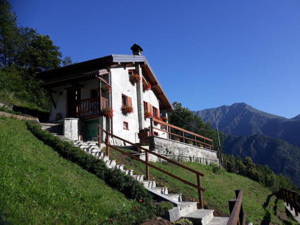
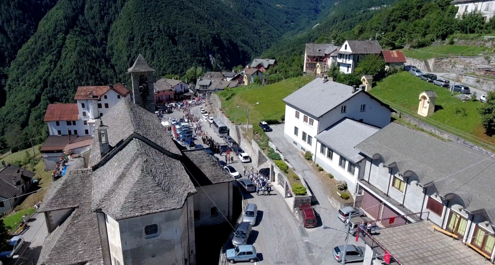

 Historic site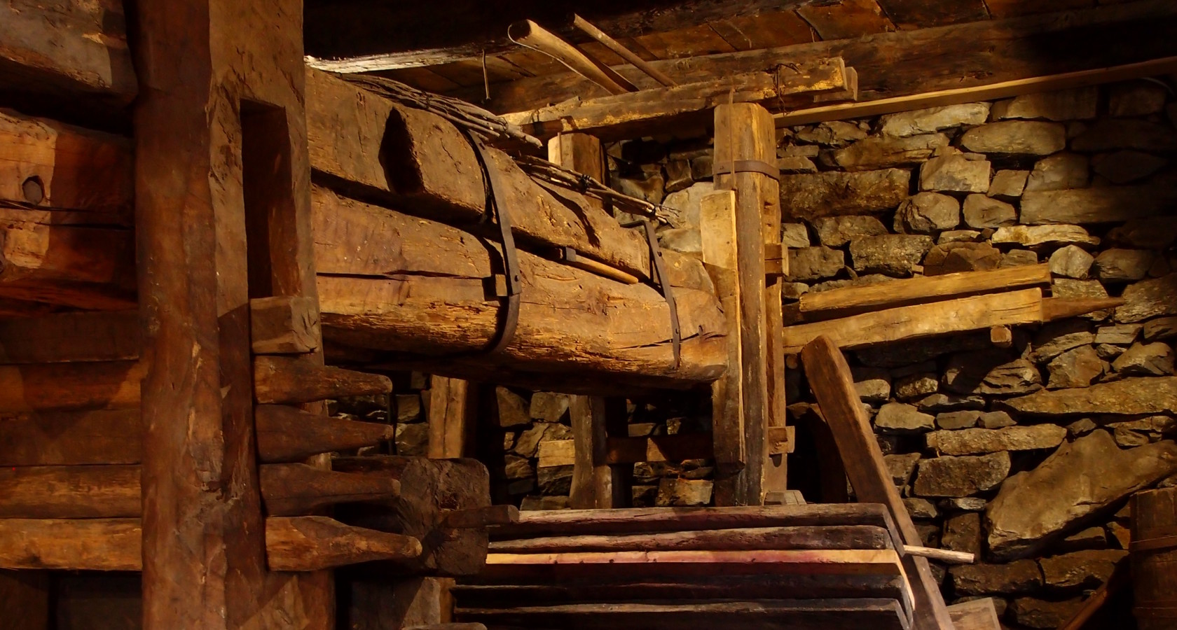
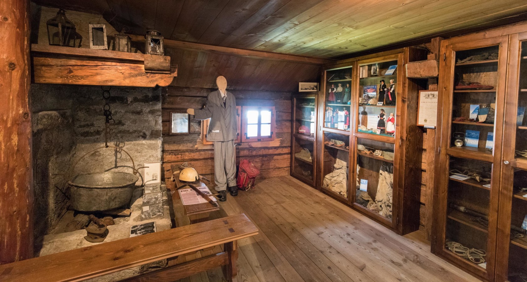
Nothing of this kind in Antrona Schieranco.
Routes
8 from neighbouring places
PERCORSO SLOW TREK
A slow walk in the Antrona valley above Antronapiana, among lakes and stone hamlets west of Domodossola.
- 6.7 km
- Distance
- 250 m
- Ascent
- 2 h 12 min
- Duration
Via Antronesca Tappa 3: Bivacco del Cingino
A stage of the Via Antronesca above Antrona Schieranco, ending at the Cingino bivouac beside the dam that ibex are known to climb.
- 12.9 km
- Distance
- 600 m
- Ascent
- 4 h 30 min
- Duration
- 9
- Check-ins
Trekking
A long day in the Valle Antrona, on the paths that climb from the valley floor towards the Swiss frontier ridge.
- 14.6 km
- Distance
- 876 m
- Ascent
- 6 h 5 min
- Duration
- 13
- Check-ins
CICLOTURISMO: Laghi della Valle Antrona. Cheggio, Antrona e Campliccioli
A road ride out of Villadossola into the Valle Antrona, climbing to the dammed lakes below Pizzo Andolla and the Rifugio Città di Novara at Cheggio.
- 37.2 km
- Distance
- 2 299 m
- Ascent
- 5 h 8 min
- Duration
- 4
- Check-ins
Via Antronesca Tappa 2: Antronapiana
A long climbing stage of the Via Antronesca into Antronapiana, the main village of the Valle Antrona.
- 12.5 km
- Distance
- 1 425 m
- Ascent
- 8 h 34 min
- Duration
- 4
- Check-ins
Via Antronesca Tappa 1: Villadossola
First stage of the Via Antronesca, the old trade road from Villadossola up towards the Antrona valley and the Swiss passes.
- 15.3 km
- Distance
- 936 m
- Ascent
- 5 h 17 min
- Duration
PERCORSO MTB: Macugnaga e il Lago delle Fate
13.9 km away, in Macugnaga
A loop through the hamlets of Macugnaga below the east face of Monte Rosa, climbing to the Alpe Burki and the Lago delle Fate.
- 17.8 km
- Distance
- 516 m
- Ascent
- 2 h 4 min
- Duration
- 60
- Check-ins
VIA STOCKALPER Tappa 4: Frazione Graniga
11.2 km away, in Bognanco
The fourth stage of the Via Stockalper, the old Simplon trade route, passing the hamlet of Graniga above the Bognanco valley.
- 14.1 km
- Distance
- 480 m
- Ascent
- 4 h 30 min
- Duration
CARCOFORO
14.3 km away, in Bannio Anzino
A leg of a historic crossing between the Valle Anzasca and the Val Mastallone, over Colle d'Egua and past the Rifugio Boffalora.
- 4.5 km
- Distance
- 0 m
- Ascent
- 2 h 15 min
- Duration
- 27
- Check-ins
Stra' Granda Tappa 2: Frazione di Pontegrande
8.2 km away, in Bannio Anzino
A long, punishing stage of the Valle Anzasca long-distance route below Monte Rosa, with nearly 2,900 metres of climbing, through the hamlet of Pontegrande.
- 18.1 km
- Distance
- 2 868 m
- Ascent
- 16 h 25 min
- Duration
- 1
- Check-ins
Stra' Granda Tappa 1A: Pontegrande
8.2 km away, in Bannio Anzino
A short link on a long-distance route through the Valle Anzasca, joining the valley-floor hamlets below Bannio Anzino.
- 1.1 km
- Distance
- 2 868 m
- Ascent
- 14 h 25 min
- Duration
Stra' Granda Tappa 1: Piedimulera
13 km away, in Piedimulera
The first stage of a long route up the Valle Anzasca from Piedimulera, a hard day of climbing into the hills above Calasca-Castiglione.
- 12.1 km
- Distance
- 2 868 m
- Ascent
- 15 h 43 min
- Duration
Stra' Granda Tappa 3: Frazione Staffa
13.9 km away, in Macugnaga
A stage of the Stra' Granda from the hamlet of Staffa in Macugnaga, climbing hard onto the high ground above the village.
- 7.3 km
- Distance
- 2 868 m
- Ascent
- 15 h 9 min
- Duration
- 38
- Check-ins
Grande Traversata della Valsesia: Tappa 10 Rifugio Baranca
14.5 km away, in Fobello
Stage ten of the Valsesia traverse, a steep haul from Fobello up to the Baranca refuge below the pass of the same name.
- 8.9 km
- Distance
- 1 600 m
- Ascent
- 9 h 1 min
- Duration
- 6
- Check-ins


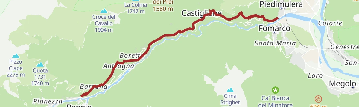


No routes of this kind in Antrona Schieranco yet.
Planning a trip to Antrona Schieranco?
Everything else Piedmont has, in one place


Take Antrona Schieranco with you into the mountains
Every route on this page with 3D terrain, GPX navigation and offline maps — including the valleys with no signal.
Data sources
- Official website: visitossola.it ↗
- Routes and highlights: Visit Ossola, Piemonte Outdoor, Distretto dei Laghi, Visitvalsesiavercelli
- Published as open data by the tourist boards named above.
- Region summary generated from the board's own material.
