
Curated by Südtirols Süden
Anterivo/Altrei
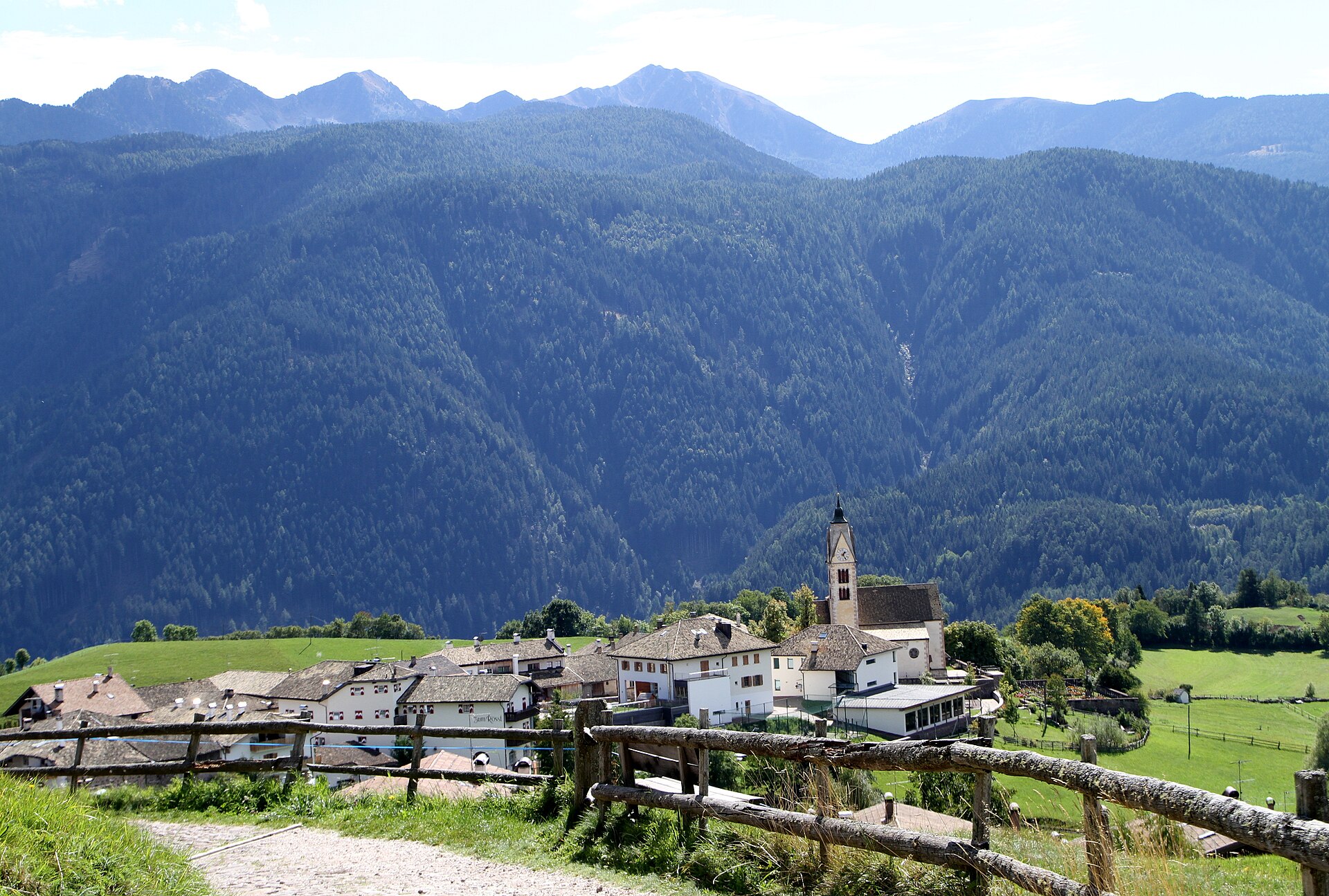
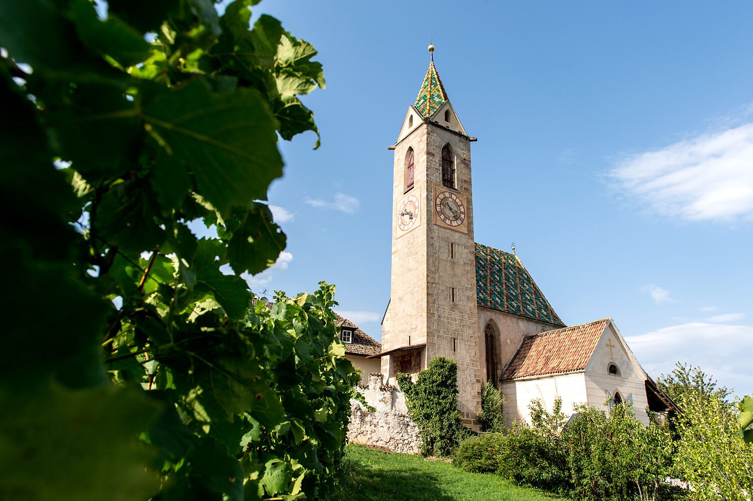
The highest village in the Bassa Atesina, on the ridge above the Adige, with a restored lime kiln and flax retting pit.
Photo: HaSt · CC BY-SA 4.0 licence
- 14Highlights
- 37Routes
Highlights
All 14 from neighbouring places
Malga Ristoro Isi
8.8 km away, in Aldino/Aldein
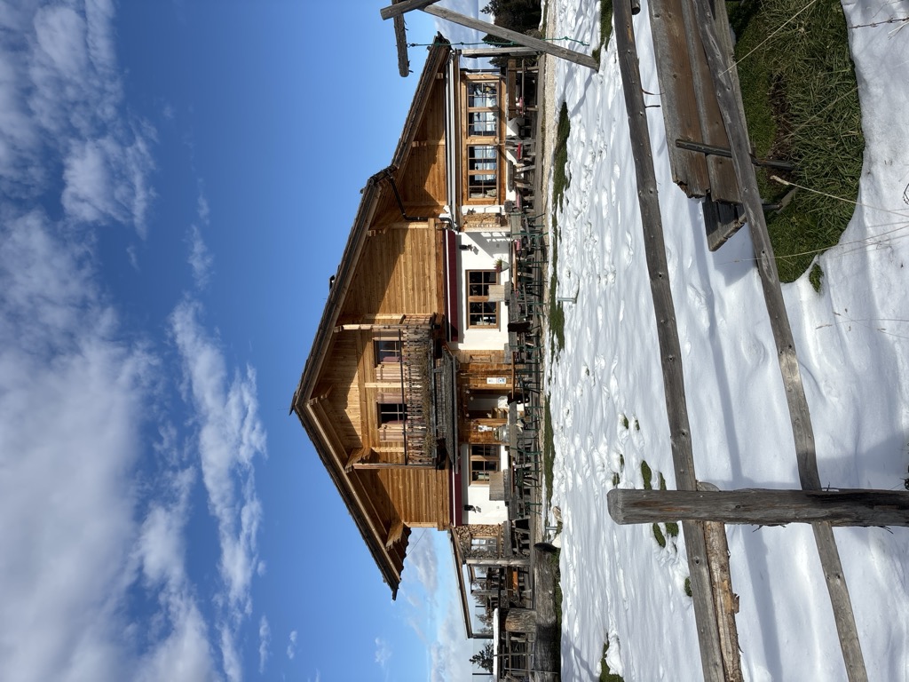
A pasture restaurant above Aldino, in the meadows of the Regglberg plateau below the Corno Bianco, near the Passo Oclini road.
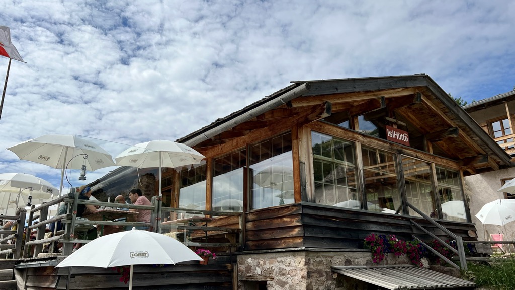
Sterzing, Pfitsch und FreienfeldMalga ISI
8.8 km away, in Aldino/Aldein
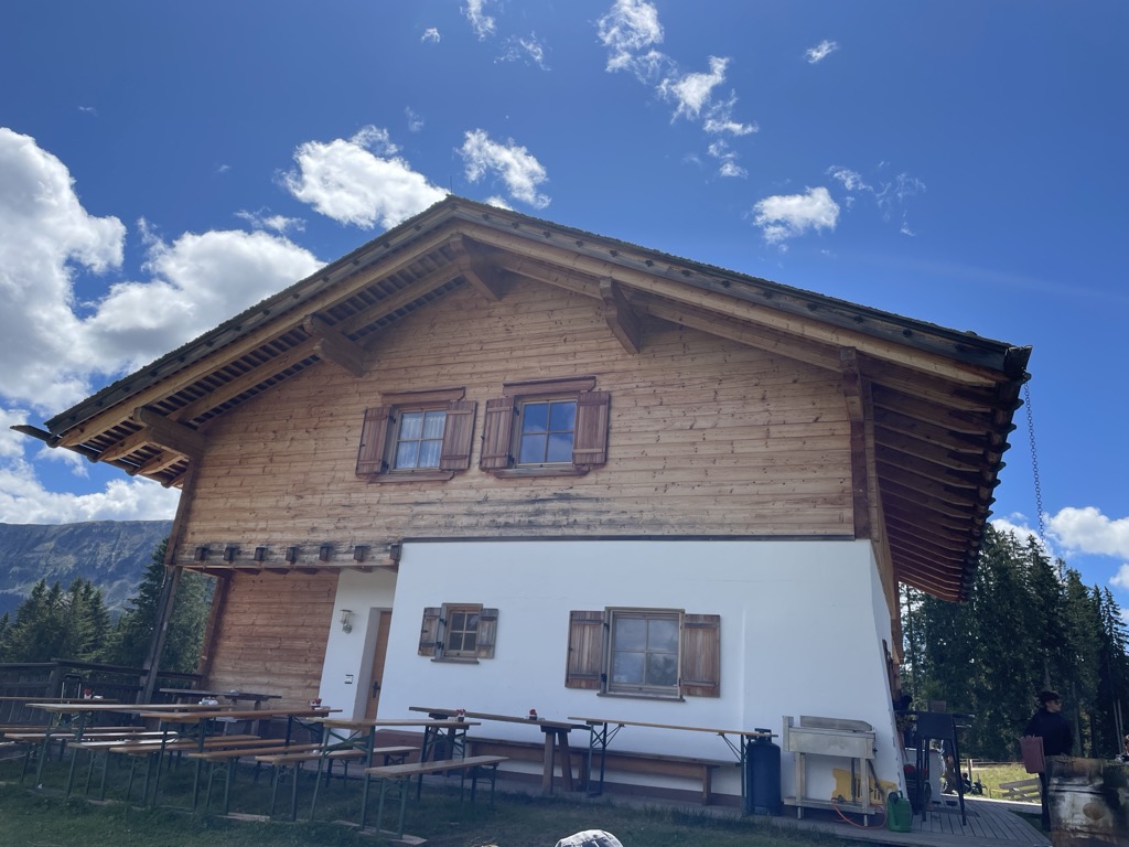
A dairy hut turned mountain restaurant above Aldino, on the Regglberg pastures below the Corno Bianco.
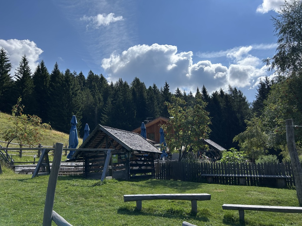
Malga Lahner
10.4 km away, in Aldino/Aldein
A dairy hut on the Lahner pastures above Aldino, reached by the forest road that climbs from the village toward the Corno Bianco.
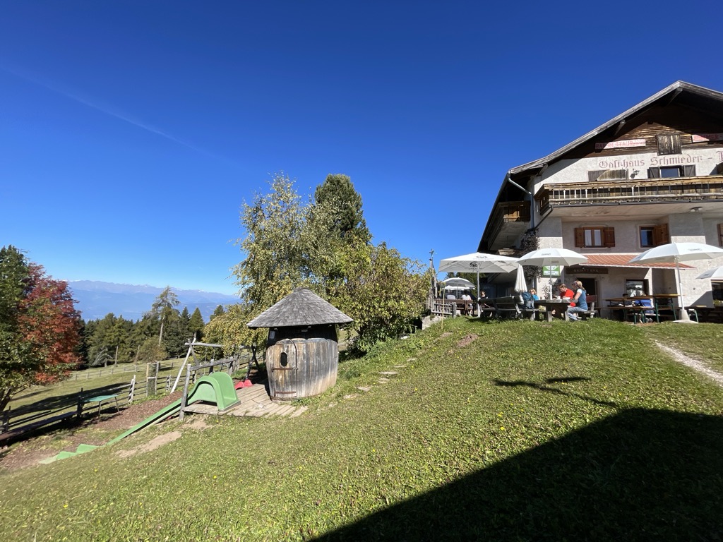
Albergo Schmiederalm
10.7 km away, in Aldino/Aldein
A pasture inn above Aldino, on the high Regglberg plateau between the Bletterbach gorge and the road to the Passo Oclini.
Tour in bicicletta:Lago di Monticolo- Lago di Caldaro
11.7 km away, in Cortaccia sulla strada del vino/Kurtatsch an der Weinstraße
A cycle route linking the Monticolo and Caldaro lakes through the Bassa Atesina vineyards.
Tour in bicicletta: Lago di Caldaro
11.7 km away, in Cortaccia sulla strada del vino/Kurtatsch an der Weinstraße
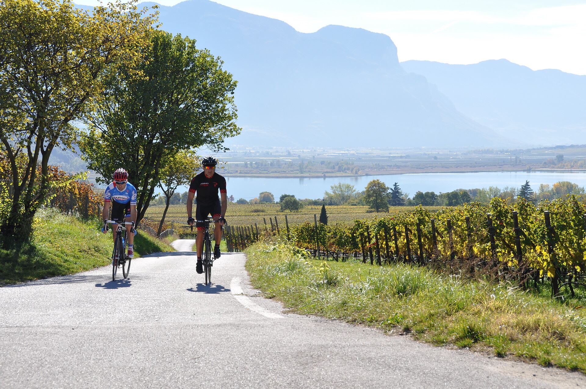
A cycle route from the Cortaccia vineyards down to the Caldaro lake, the warmest bathing lake in the Alps.
Malga Costa
13 km away, in Nova Ponente/Deutschnofen
A dairy hut on the Costa pastures above Nova Ponente, in the Val d'Ega below the Latemar.
Sterzing, Pfitsch und FreienfeldMalga Laab
13.1 km away, in Nova Ponente/Deutschnofen
A working dairy on the Laab pastures above Nova Ponente, in the woods and meadows of the Val d'Ega.
Lago di Caldaro
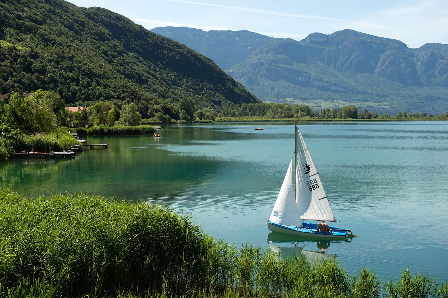
13.6 km away, in Caldaro sulla strada del vino/Kaltern an der Weinstraße
The warmest bathing lake in the Alps, in the vineyards below the Mendola ridge south of Bolzano.
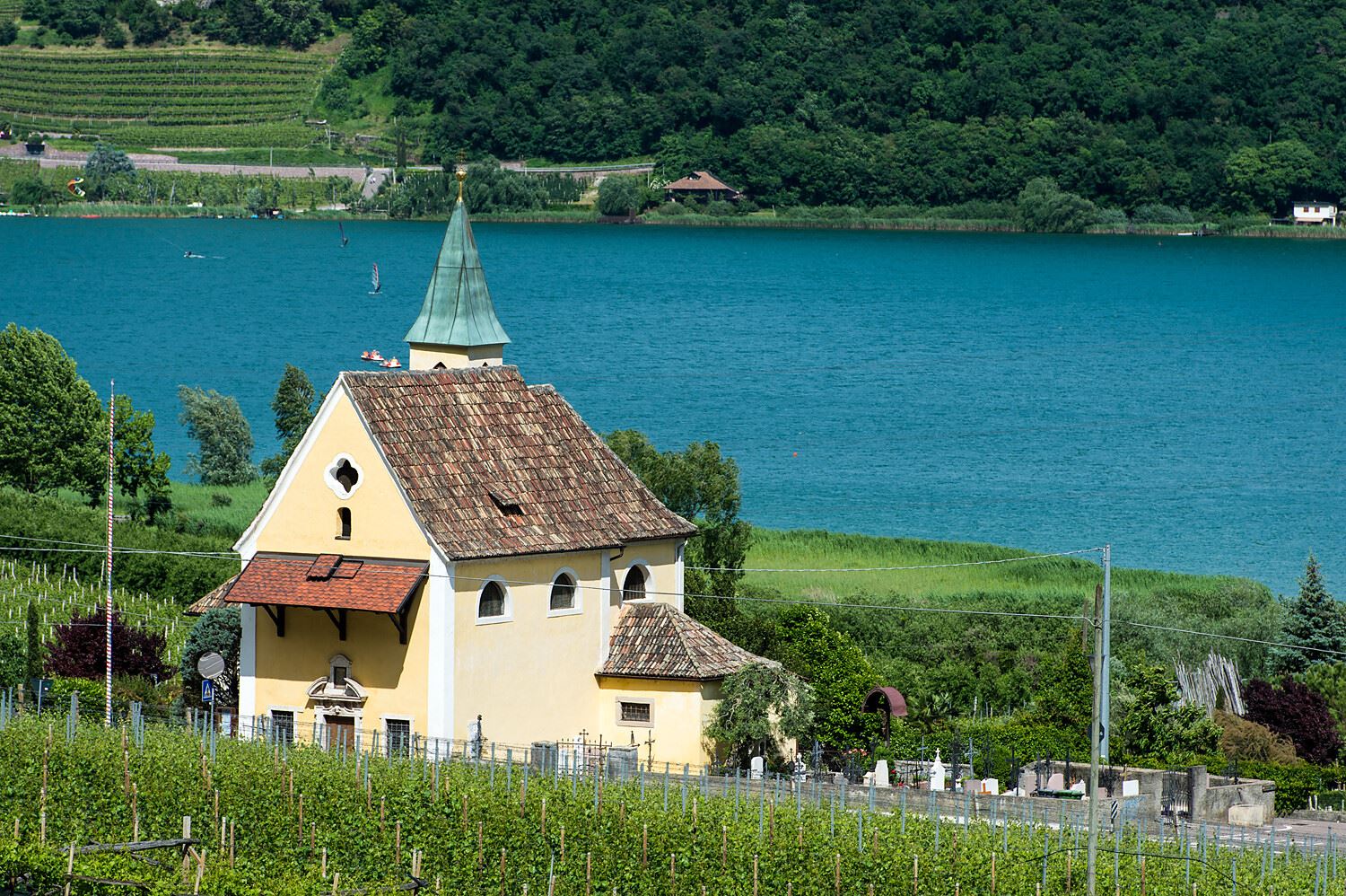
Chiesa S. Giuseppe al lago
13.9 km away, in Caldaro sulla strada del vino/Kaltern an der Weinstraße
The church of San Giuseppe on the shore of Lake Caldaro.
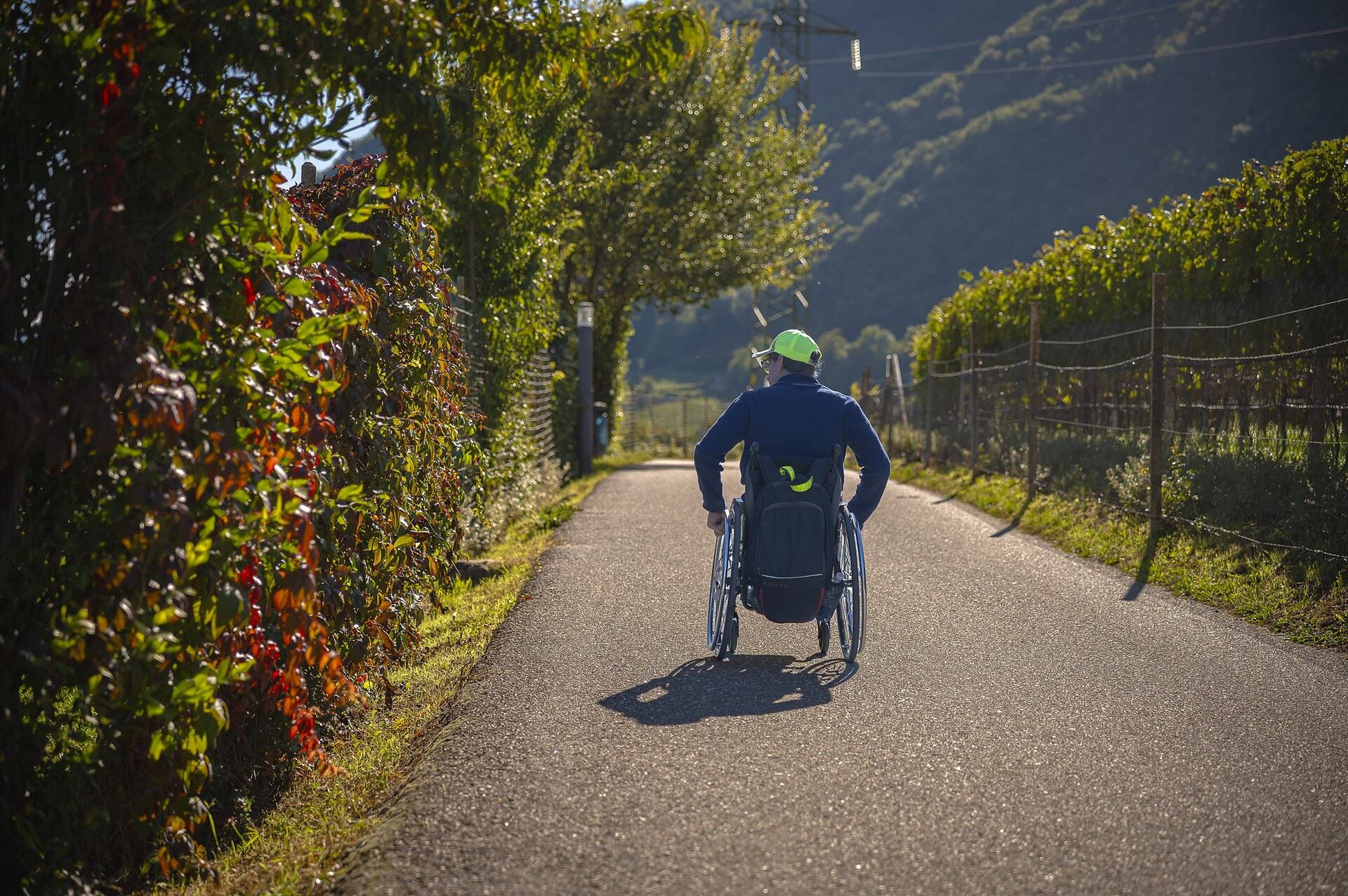
Percorso accessibile a tutti al lago
14.3 km away, in Caldaro sulla strada del vino/Kaltern an der Weinstraße
A level, step-free path around part of the Caldaro lake, the warmest bathing lake in the Alps.
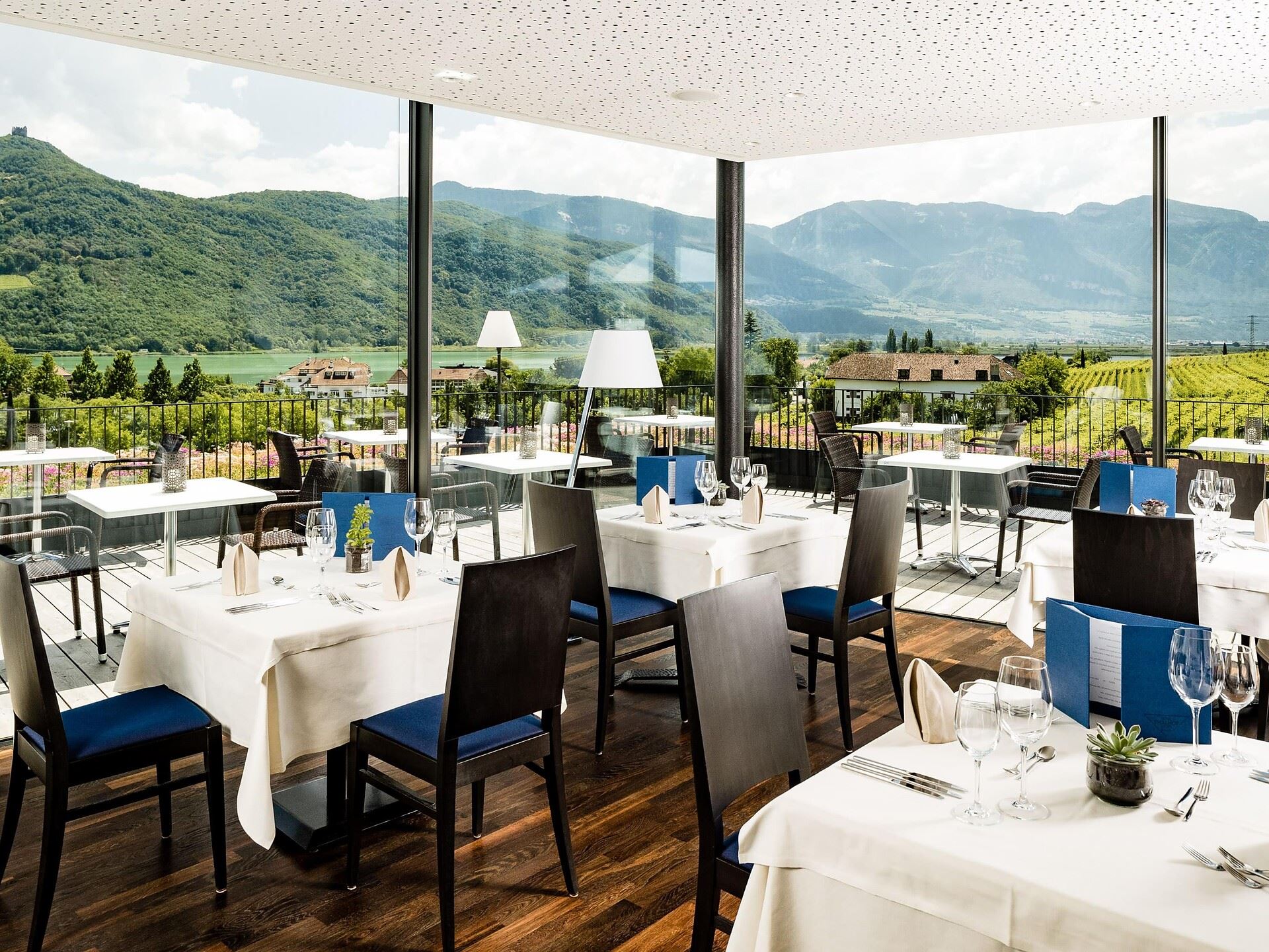
Thalhof al Lago
14.6 km away, in Caldaro sulla strada del vino/Kaltern an der Weinstraße
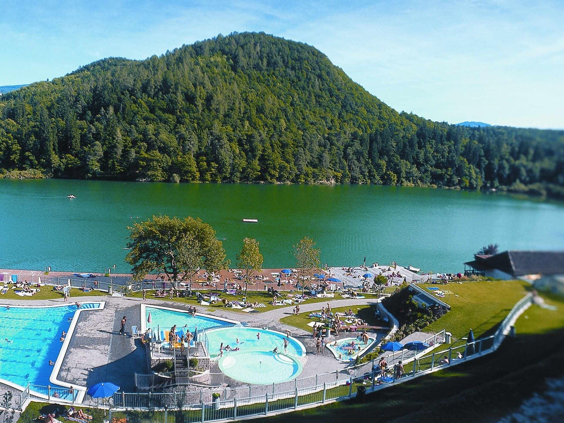
A lakeside bathing house on Lake Caldaro, among the vineyards of the Wine Road.
Chiesa S. Vigilio a Castelvecchio
14.6 km away, in Caldaro sulla strada del vino/Kaltern an der Weinstraße
The church of San Vigilio at Castelvecchio, above the Rastenbach gorge near Caldaro.
Castelvecchio (Gola Rastenbach)
14.9 km away, in Caldaro sulla strada del vino/Kaltern an der Weinstraße
The ruins of Castelvecchio above the Rastenbach gorge, on the path between Caldaro and its lake.
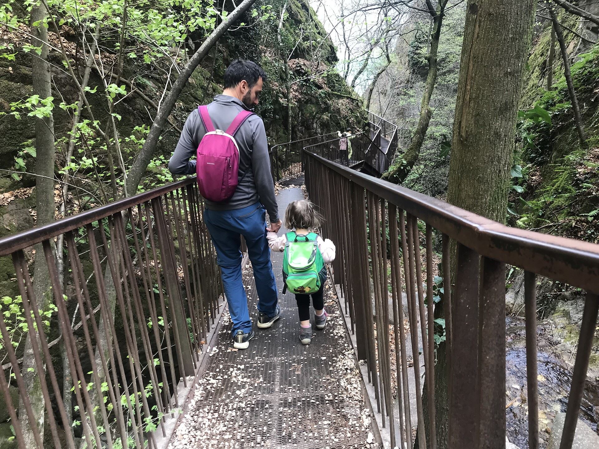
Nothing of this kind in Anterivo/Altrei.
Routes
An excursion and a lupine coffee at Malga Malghette
A steady climb through forest and Vaia-hit ground to Malga Malghette, past biotope meadows full of gentians, which may not be picked.
- 3.4 km
- Distance
- 154 m
- Ascent
- 1 h 10 min
- Duration
- 4
- Check-ins
Open route APT Fiemme CembraTappa d | Anterivo - Cauria
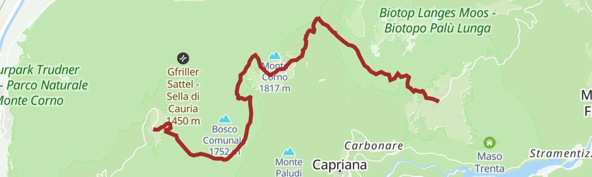
A gentle stage from Anterivo over the Passo della Cisa to the Malga Corno hut, then down past the Lago Nero and Lago Bianco bogs to Cauria.
- 12.5 km
- Distance
- 545 m
- Ascent
- 4 h 10 min
- Duration
- 29
- Check-ins
 Malga Monte Corno - Trudner Horn Alm 1 710 m
 Passo Cisa - Ziss-Sattel 1 448 m
- Hotel Waldheim 1 219 m
 Lago Nero - Schwarzsee 1 717 m
- Infostelle Parco 1 331 m
Open route Sterzing, Pfitsch und FreienfeldThrough the Nature Park San Lugano - Neumarkt/Egna
A long crossing of the Monte Corno park from San Lugano over the Malga Corno and the Weissensee, dropping through Gfrill to Egna in the Adige valley.
- 21.5 km
- Distance
- 789 m
- Ascent
- 8 h 5 min
- Duration
- 49
- Check-ins
- Malga Monte Corno - Trudner Horn Alm 1 710 m
- Passo di San Lugano - San-Lugano-Sattel 1 097 m
- Antonio Longo 1 104 m
- Passo Cisa - Ziss-Sattel 1 448 m
- Krabes Alm - Le Malghette 1 542 m
- Gsteigerhof - Maso Gsteiger 895 m
- +5
Open route Südtirols SüdenAltrei/Antrevio Panorama Tour
An easy gravel loop on forest roads in the Naturpark Trudner Horn, passing Malga Pausa and Malghette at around 1,480 m.
- 11.6 km
- Distance
- 427 m
- Ascent
- 1 h 26 min
- Duration
- 1
- Check-ins
Open route Südtirols SüdenRoadbike: Valle di Cembra
A hundred-kilometre road tour from the Weinstraße down to Lavis, then up the terraced Cembra valley and back over the San Lugano pass.
- 99.7 km
- Distance
- 1 141 m
- Ascent
- 9 h 55 min
- Duration
- 64
- Check-ins
 Prati Del Diavolo 208 m
- Cappella della Beata Vergine del Rosario della nuova Pompei 985 m
- Al Ponte - Brückenwirt 764 m
- Ristorante Bar Vecchia Stazione 1 010 m
- B&B Casa Giovannelli 1 013 m
- Hotel Pausa 922 m
- +10
Open route Südtirols SüdenMontagna Senza Limiti - The "climb" to Malghette
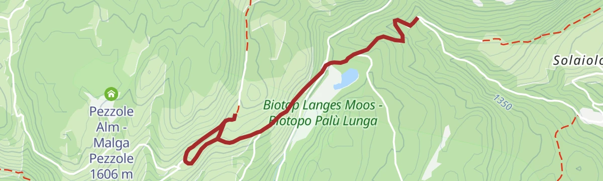
A route made passable by all-terrain wheelchair through mixed spruce, birch and larch, past the Palu Longa pond with its July water lilies, to a view of the Lagorai.
- 3.9 km
- Distance
- 161 m
- Ascent
- 1 h 19 min
- Duration
- 4
- Check-ins
Open route APT Fiemme CembraTappa d | Cauria - Anterivo
A stage from Cauria past the Lago Bianco and Lago Nero bogs to the Malga Corno hut, then over the Passo della Cisa to Anterivo.
- 12.5 km
- Distance
- 427 m
- Ascent
- 4 h 6 min
- Duration
- 29
- Check-ins
- Malga Monte Corno - Trudner Horn Alm 1 710 m
- Passo Cisa - Ziss-Sattel 1 448 m
- Hotel Waldheim 1 219 m
- Lago Nero - Schwarzsee 1 717 m
- Infostelle Parco 1 331 m
Open route Sterzing, Pfitsch und FreienfeldCircumnavigation Nature Park Monte Corno
A full loop of the Monte Corno park on the E5 by the Ziss saddle and the Horn Alm, facing the Lagorai and the Pale di San Martino, back along the old railway.
- 24.1 km
- Distance
- 895 m
- Ascent
- 7 h 51 min
- Duration
- 37
- Check-ins
- Malga Monte Corno - Trudner Horn Alm 1 710 m
- Passo di San Lugano - San-Lugano-Sattel 1 097 m
- Passo Cisa - Ziss-Sattel 1 448 m
- Krabes Alm - Le Malghette 1 542 m
- Malga Pausa 1 480 m
- Malghette 1 472 m
Open route Südtirols Süden9 lakes route
A long road tour past the lakes of the Pinè plateau and the Valsugana, over the Sella di Vignola and below Segonzano castle.
- 115.9 km
- Distance
- 2 403 m
- Ascent
- 12 h 33 min
- Duration
- 63
- Check-ins
- Dos de le Morf 956 m
- Parc Hotel Du Lac 454 m
- Dolomiti Energia 1 026 m
- Sella di Vignola 557 m
- Visitvalsugana 491 m
- APT Piné 974 m
- +15
Open route APT TrentoStroller walk among the larches towards Anterivo
An easy family outing on asphalt from the Giocabosco playground at Prà dal Manz, rising gently through larch woods with a picnic area on the way.
- 5.5 km
- Distance
- 50 m
- Ascent
- 1 h 25 min
- Duration
- 4
- Check-ins
Open route APT Fiemme CembraAltrei/Anterivo-Malga Monte Corno-Altrei/Anterivo
Tour 8 from the Anterivo town hall square by Prà dal Manz and the Passo della Cisa to the Malga Monte Corno, the high point, and back on forest roads.
- 14.2 km
- Distance
- 534 m
- Ascent
- 4 h 39 min
- Duration
- 25
- Check-ins
- Malga Monte Corno - Trudner Horn Alm 1 710 m
- Passo Cisa - Ziss-Sattel 1 448 m
- Hotel Waldheim 1 219 m
Open route Südtirols SüdenAnterivo- Monte Corno- Anterivo
A round from Anterivo on forest tracks and part of the E5 to the Trudner Horn hut at 1,710 m, with the Fiemme valley ranges opposite.
- 16.9 km
- Distance
- 621 m
- Ascent
- 5 h 29 min
- Duration
- 28
- Check-ins
- Malga Monte Corno - Trudner Horn Alm 1 710 m
- Passo Cisa - Ziss-Sattel 1 448 m
- Hotel Waldheim 1 219 m
- Lago Nero - Schwarzsee 1 717 m
- Bait del Doro 1 396 m
Open route Südtirols SüdenCembra Valley - Pinè Plateau
A hundred-kilometre road tour out of Ziano di Fiemme, crossing to the Piné plateau and returning down the Cembra valley.
- 100.3 km
- Distance
- 2 000 m
- Ascent
- 10 h 47 min
- Duration
- 53
- Check-ins
- Dolomiti Energia 1 026 m
- Misconel Srl 894 m
- APT Piné 974 m
- Capanna 939 m
- Hotel Lagorai Alpine Resort & Spa 1 012 m
- Antico Mas del Medico 854 m
- +14
Open route APT Fiemme CembraLago Stramentizzo H
A shoreline route along the Stramentizzo reservoir on the Avisio, below Castello-Molina di Fiemme.
- 5.8 km
- Distance
- 123 m
- Ascent
- 1 h 40 min
- Duration
- 3
- Check-ins
Open route Trentino FishingMalga Monte Corno
A forest road walk in the Monte Corno nature park to the Malga Monte Corno, with the Pale di San Martino and the Corno Bianco in sight.
- 10.3 km
- Distance
- 496 m
- Ascent
- 3 h 41 min
- Duration
- 25
- Check-ins
- Malga Monte Corno - Trudner Horn Alm 1 710 m
- Passo Cisa - Ziss-Sattel 1 448 m
- Hotel Waldheim 1 219 m
Open route APT Fiemme CembraTappa c1 | Anterivo - Montagna
A demanding stage dropping from Anterivo at 1,200 m to the Pinot Noir village of Montagna, by way of Malga Corno and the unstaffed Hackelboden hut.
- 15.2 km
- Distance
- 566 m
- Ascent
- 6 h 1 min
- Duration
- 28
- Check-ins
- Malga Monte Corno - Trudner Horn Alm 1 710 m
- Passo Cisa - Ziss-Sattel 1 448 m
- Hotel Waldheim 1 219 m
- Gsteigerhof - Maso Gsteiger 895 m
- Forsthütte Hackelboden 1 430 m
Open route Sterzing, Pfitsch und FreienfeldGravel Tour - Larch Route
A gravel loop out of the Val di Fiemme over the Passo di San Lugano, taking in the Malga Salanzada and the Baita Tabià.
- 51.5 km
- Distance
- 1 189 m
- Ascent
- 5 h 42 min
- Duration
- 51
- Check-ins
- Malga Salanzada 1 033 m
- Passo di San Lugano - San-Lugano-Sattel 1 097 m
- Antonio Longo 1 104 m
- Hotel Lagorai Alpine Resort & Spa 1 012 m
- Baita Tabià 1 099 m
- Hotel Waldheim 1 219 m
- +8
Open route APT Fiemme CembraAltrei round
A short loop from the square at Anterivo past the old courthouse and the Lochmann farms, with the Cembra valley and the Lagorai in view.
- 2.3 km
- Distance
- 70 m
- Ascent
- 42 min
- Duration
Open route Südtirols SüdenCircular Hike in the Trudner Horn Nature Park
A circuit south from Trodena by the Rungganoe farm and the Peraschupf hut to the Langes Moos bog, on forest tracks in the Monte Corno park.
- 12.6 km
- Distance
- 510 m
- Ascent
- 4 h 14 min
- Duration
- 18
- Check-ins
- Passo Cisa - Ziss-Sattel 1 448 m
- Sportbar Runggen 1 060 m
- Krabes Alm - Le Malghette 1 542 m
- Schuaster Schupf 1 336 m
- Pera Schupf - Baita Pera 1 436 m
- Pinterschupf 1 392 m
- +4
Open route Südtirols SüdenTappa c1 | Montagna – Anterivo
A demanding leg from the wine village of Montagna to Anterivo at 1,200 metres, by the Gleno waterfall and the unmanned Hackelboden hut.
- 15.2 km
- Distance
- 1 340 m
- Ascent
- 7 h 2 min
- Duration
- 28
- Check-ins
- Malga Monte Corno - Trudner Horn Alm 1 710 m
- Passo Cisa - Ziss-Sattel 1 448 m
- Hotel Waldheim 1 219 m
- Gsteigerhof - Maso Gsteiger 895 m
- Forsthütte Hackelboden 1 430 m
Open route Sterzing, Pfitsch und FreienfeldMount Horn Nature Park
A long road tour from Ziano di Fiemme over to the Trudner Horn nature park, returning up the Fiemme valley past the Vecchia Stazione.
- 50.7 km
- Distance
- 755 m
- Ascent
- 5 h 12 min
- Duration
- 29
- Check-ins
- Misconel Srl 894 m
- Ristorante Bar Vecchia Stazione 1 010 m
- Capanna 939 m
- Hotel Lagorai Alpine Resort & Spa 1 012 m
- Hotel Waldheim 1 219 m
- Antico Mas del Medico 854 m
- +4
Open route APT Fiemme CembraAnterivo Trail of Legends (Sagenweg Altrei)
A short themed loop above Anterivo where boards retell the legends the village kept alive by word of mouth, starting at the Lärchenheim.
- 3.8 km
- Distance
- 90 m
- Ascent
- 1 h 7 min
- Duration
Open route Südtirols SüdenAltrei/Anterivo- Krabes Alm
A walk from Anterivo over the Langes Moos high bog to the Krabes Alm at 1,540 m, returning by the Ziss saddle.
- 11.4 km
- Distance
- 368 m
- Ascent
- 3 h 35 min
- Duration
- 15
- Check-ins
- Passo Cisa - Ziss-Sattel 1 448 m
- Hotel Waldheim 1 219 m
- Krabes Alm - Le Malghette 1 542 m
- Baita del Felice 1 556 m
Open route Südtirols SüdenTrodena-Anterivo-Trodena
A long round from Trodena down to the old sawmill, up the Kaltwasser valley to the Passo Cisa and the Malghette, then back by Anterivo and the railway bed.
- 23.5 km
- Distance
- 696 m
- Ascent
- 7 h 13 min
- Duration
- 22
- Check-ins
- Passo di San Lugano - San-Lugano-Sattel 1 097 m
- Passo Cisa - Ziss-Sattel 1 448 m
- Krabes Alm - Le Malghette 1 542 m
- Malga Pausa 1 480 m
- Malghette 1 472 m
Open route Südtirols SüdenVal di Cembra
A long ride down the Avisio side valley to Segonzano and its earth pyramids, with a final climb back up to Cavalese.
- 66.6 km
- Distance
- 1 466 m
- Ascent
- 7 h 17 min
- Duration
- 19
- Check-ins
- Chiosco alle Piramidi 601 m
- Pizzeria Bar Al Lago 802 m
- Pizzeria 4 Venti 869 m
- Simoni 817 m
- Maso Grava 855 m
- Sega Vècia 777 m
- +5
Open route APT Fiemme CembraLago di Stramentizzo C
An easy walk along the Stramentizzo reservoir on the Avisio, below Castello-Molina di Fiemme.
- 6.5 km
- Distance
- 242 m
- Ascent
- 2 h 7 min
- Duration
Open route Trentino FishingTappa e | Anterivo - Trodena
A stage through the Monte Corno nature park from Anterivo to Trodena, calling at the Palù Longa peat bog and the Krabes Alm.
- 9.6 km
- Distance
- 348 m
- Ascent
- 3 h 10 min
- Duration
- 8
- Check-ins
- Krabes Alm - Le Malghette 1 542 m
- Schuaster Schupf 1 336 m
- Pera Schupf - Baita Pera 1 436 m
- Pinterschupf 1 392 m
- Baita del Felice 1 556 m
- Erster Runggaöer Weiher 1 219 m
Open route Sterzing, Pfitsch und FreienfeldMonte Corno Natural Park: Capriana and Anterivo - Tour 921
A long circuit in the Monte Corno nature park, climbing through the Prai dal Manz larch wood to the Passo Cisa before turning back to Capriana.
- 16.3 km
- Distance
- 454 m
- Ascent
- 4 h 57 min
- Duration
- 6
- Check-ins
Open route APT Fiemme CembraValle di Cembra from Palù di Giovo
A circuit of the Cembra valley above the Avisio, among terraced vineyards, porphyry quarries and hill villages.
- 72.9 km
- Distance
- 1 844 m
- Ascent
- 8 h 13 min
- Duration
- 19
- Check-ins
- Chiosco alle Piramidi 601 m
- Pizzeria Bar Al Lago 802 m
- Pizzeria 4 Venti 869 m
- Simoni 817 m
- Maso Grava 855 m
- Sega Vècia 777 m
- +3
Open route APT Fiemme CembraLooking for solitude at Malga Fraul
A quiet walk on the far edge of the Fiemme valley through pasture and larch, passing the Larice di Confine, a monumental tree with a huge trunk.
- 5.5 km
- Distance
- 149 m
- Ascent
- 1 h 39 min
- Duration
Open route APT Fiemme CembraTappa e | Trodena - Anterivo
A leg from Trodena to Anterivo by way of the Malga Krabes and the Palu Longa peat bog, ending on an old cobbled track.
- 9.6 km
- Distance
- 410 m
- Ascent
- 3 h 13 min
- Duration
- 8
- Check-ins
- Krabes Alm - Le Malghette 1 542 m
- Schuaster Schupf 1 336 m
- Pera Schupf - Baita Pera 1 436 m
- Pinterschupf 1 392 m
- Baita del Felice 1 556 m
- Erster Runggaöer Weiher 1 219 m
Open route Sterzing, Pfitsch und FreienfeldThe Path of Breath
A 661-metre reflective path laid out above the Anterivo sports field at 1,300 m, with panels in four languages meant to be read slowly.
- 542 m
- Distance
- 0 m
- Ascent
- 8 min
- Duration
Open route Südtirols SüdenMuletrack Anterivo - Trodena
An old mule track from Anterivo to Trodena, passing the Krabes Alm and the hay barns of the Peraschupf and Pinterschupf.
- 8.6 km
- Distance
- 330 m
- Ascent
- 2 h 53 min
- Duration
- 7
- Check-ins
- Krabes Alm - Le Malghette 1 542 m
- Schuaster Schupf 1 336 m
- Pera Schupf - Baita Pera 1 436 m
- Pinterschupf 1 392 m
- Tonelahütte - Baita Tonela 1 407 m
- Riegen - Baita Righen 1 481 m
- +1
Open route Südtirols SüdenTorrente Avisio B -Castello Molina di Fiemme
A short stretch of bank along the Avisio torrent near Castello-Molina di Fiemme, below the Anterivo slopes.
- 412 m
- Distance
- 21 m
- Ascent
- 8 min
- Duration
Open route Trentino FishingCircumnavigation of Anterivo
A loop right around Anterivo on gravel forest roads inside the Trudner Horn nature park, gentle enough for leisure cyclists.
- 12.9 km
- Distance
- 429 m
- Ascent
- 4 h 4 min
- Duration
- 5
- Check-ins
Open route Südtirols SüdenAnterivo/Altrei-Fraulalm
A round from Anterivo down to the Guggal stream and up through larch pasture to the unstaffed Fraulalm, with the Schönblick viewpoint just beyond.
- 7.7 km
- Distance
- 232 m
- Ascent
- 2 h 22 min
- Duration
Open route Südtirols SüdenThe pleasures of nature
A family route from Anterivo up to the Fraulalm and on to Guggal hamlet, used for demonstrations of larch-resin gathering and other village crafts.
- 10.0 km
- Distance
- 357 m
- Ascent
- 3 h 14 min
- Duration
Open route Südtirols Süden





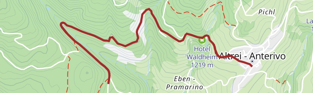


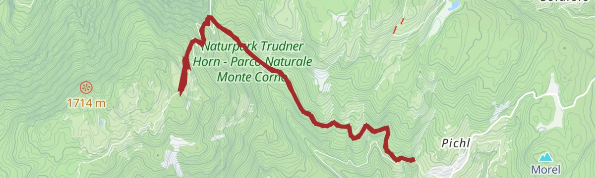


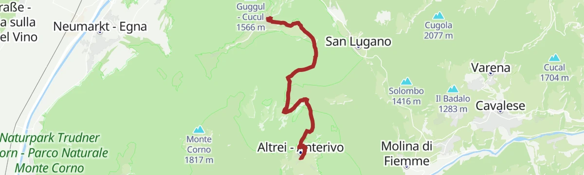
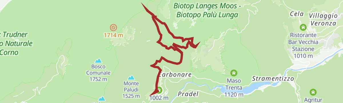


No routes of this kind in Anterivo/Altrei yet.
Planning a trip to Anterivo/Altrei?
Everything else Trentino-Alto Adige/Südtirol has, in one place


Take Anterivo/Altrei with you into the mountains
Every route on this page with 3D terrain, GPX navigation and offline maps — including the valleys with no signal.
Data sources
- Official website: merano-suedtirol.it ↗
- Routes and highlights: Südtirols Süden, Sterzing, Pfitsch und Freienfeld, APT Fiemme Cembra, Kaltern an der Weinstraße, Trentino Fishing, APT Trento
- Published as open data by the tourist boards named above.
- Region summary generated from the board's own material.
