
 Historic site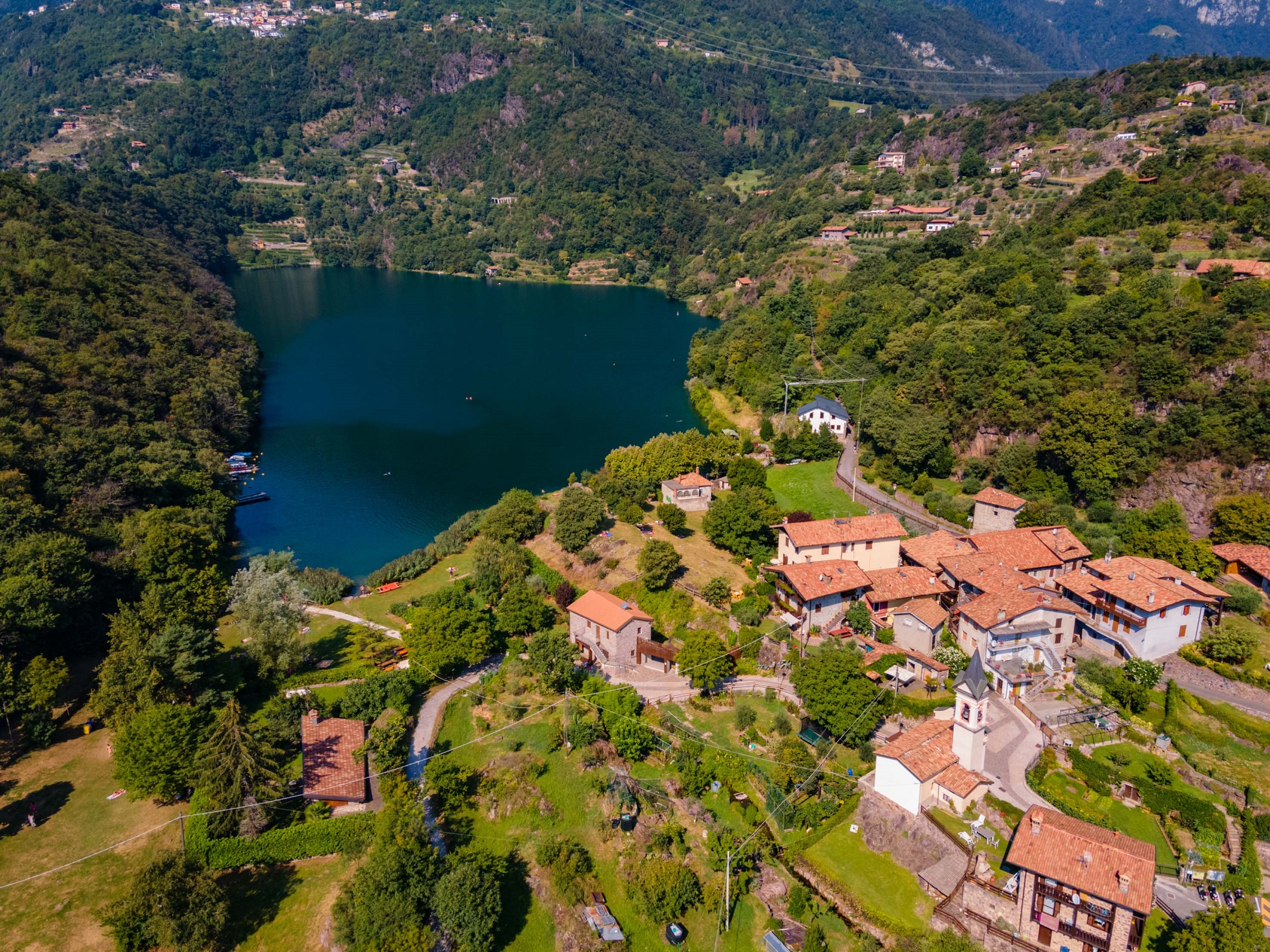






Curated by Val Seriana
Angolo Terme
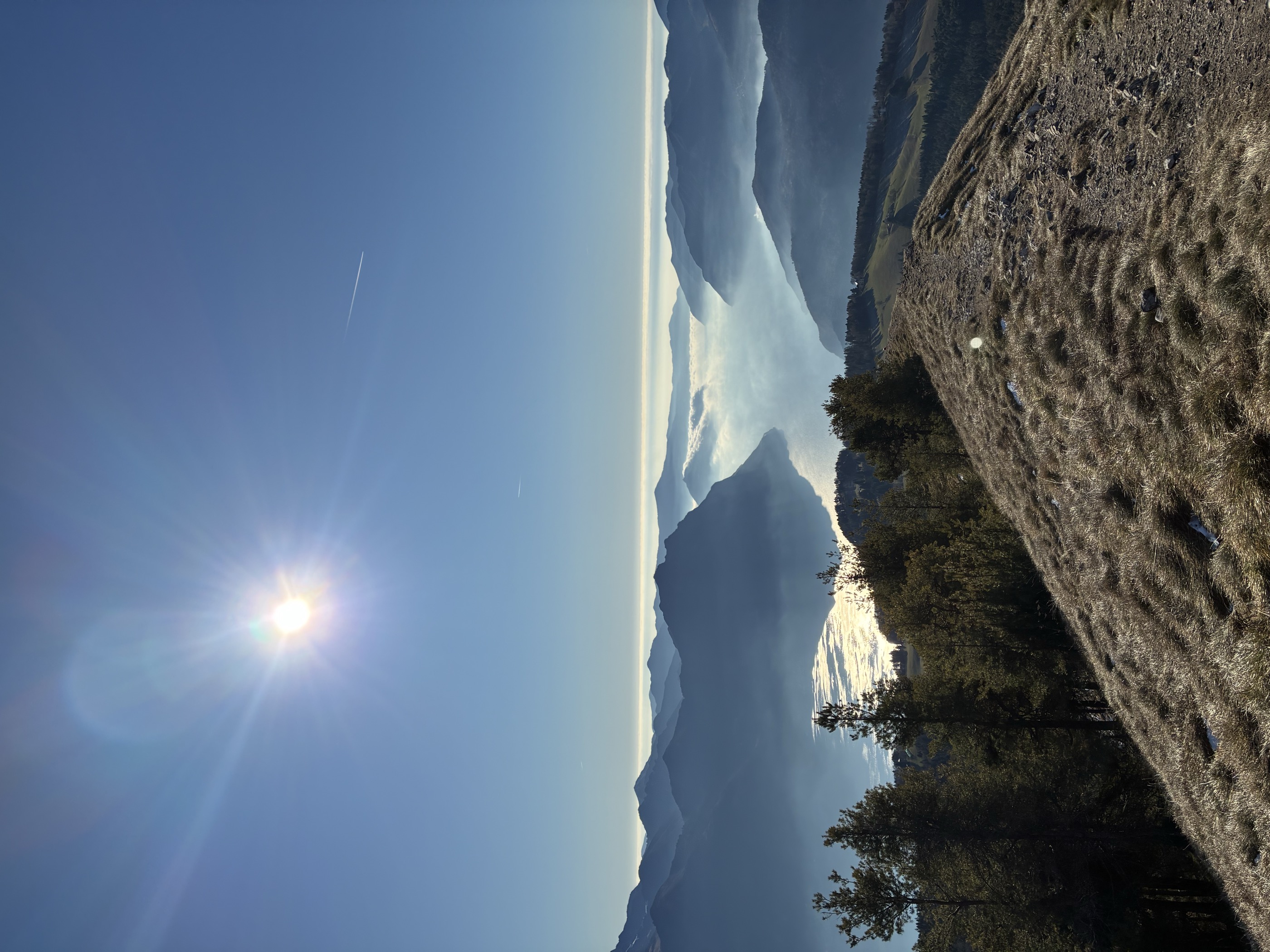
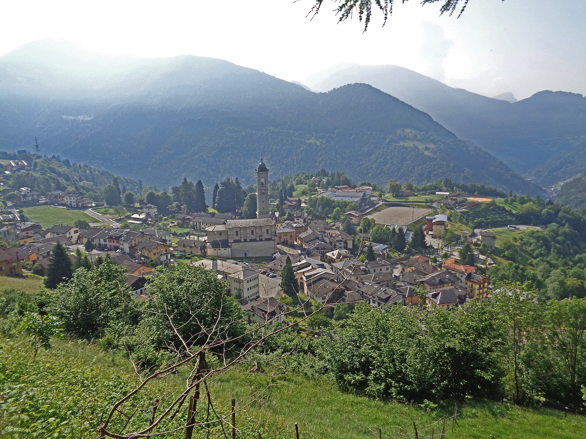
Camonica valley spa village on the Dezzo, with thermal springs and the Magnolini refuge on the Presolana slopes above.
- 2Highlights
- 9Routes
- Featured summit · Monte Colombina
Highlights
13 from neighbouring places
Capo di Lago
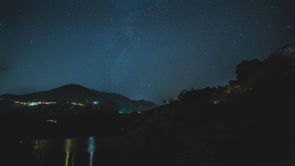
A certified dark-sky observing site at Lago Moro, between Angolo Terme and Darfo Boario Terme in the Val Camonica.
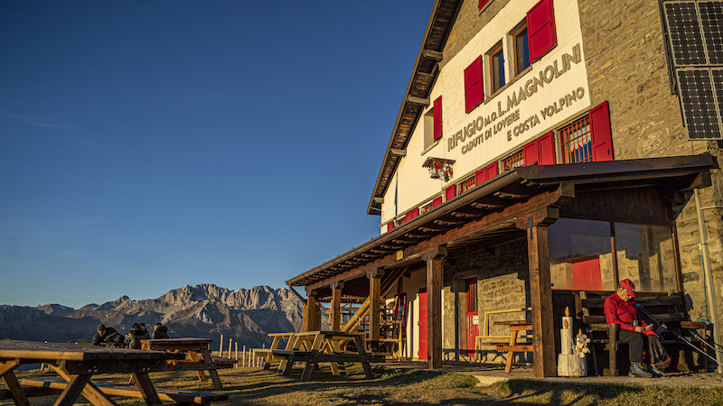
Rifugio Magnolini
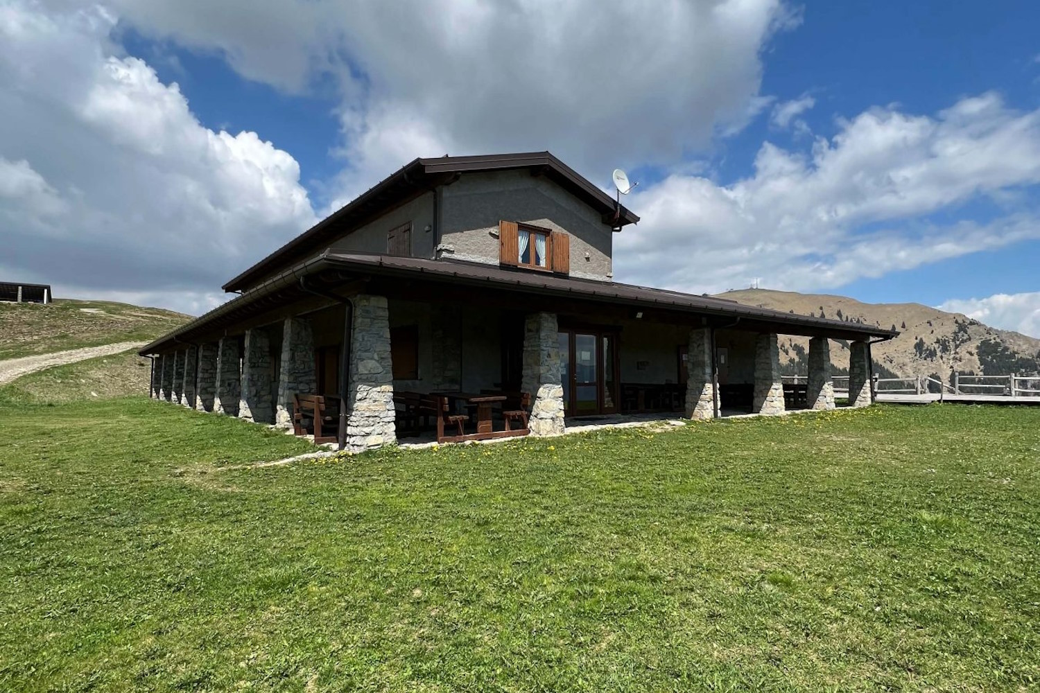
A hut at 1,612 m on the Presolana slopes above Angolo Terme, walked up from Bossico, Costa Volpino or Rogno and linked with Monte Alto.
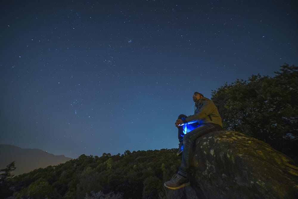
Stargazing a Darfo Boario Terme, nel piccolo borgo Capo di Lago
3.7 km away, in Darfo Boario Terme
Night-sky watching from Capo di Lago above Darfo, on the rim of the Lago Moro basin.
Parco del Lago Moro
3.7 km away, in Darfo Boario Terme
A small lake above Darfo in its own park, with a path around the shore.
Rifugio Pian de la Palù
4.2 km away, in Rogno
A hut in the wooded hills above Rogno, between the lower Val Camonica and the northern end of Lake Iseo.
Il Santuario di Lantana
4.4 km away, in Castione della Presolana
A pilgrimage church at Lantana above Castione della Presolana, kept for the miracles credited to the Virgin there.
Museo Etnografico del Territorio di Rogno
4.9 km away, in Rogno
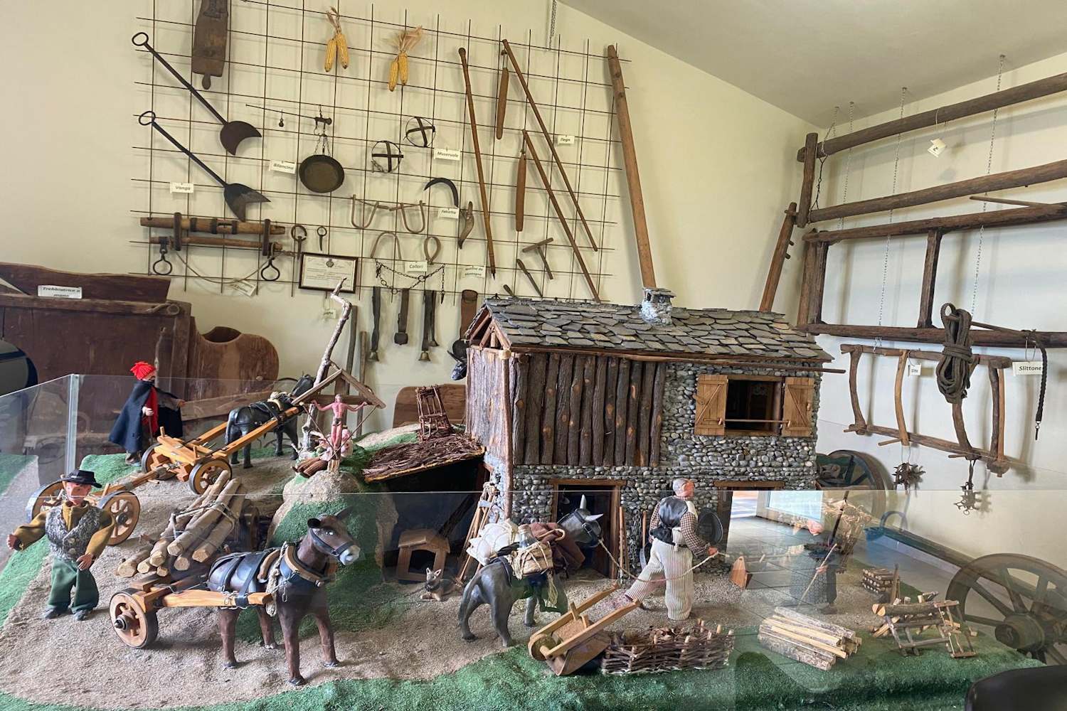
An ethnographic museum at Rogno, on farming and craft life at the foot of the Val Camonica above Lake Iseo.
Boario und die thermen
4.9 km away, in Darfo Boario Terme
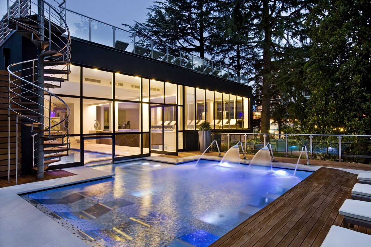
The Boario spa in the lower Camonica valley, its four springs set in a wooded park.
Rifugio del Risol
4.9 km away, in Castione della Presolana
A hut on the Risol pastures above Castione della Presolana, below the Presolana's south face.
Chiesa parrocchiale della Natività di Maria Vergine a Bratto
5.5 km away, in Castione della Presolana
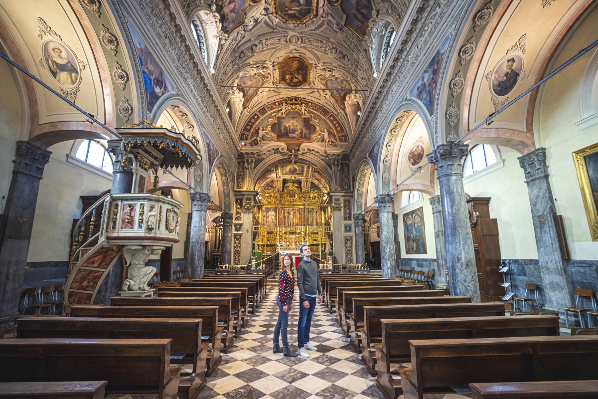
The parish church of the Nativity of Mary at Castione della Presolana.
Chiesetta dell’Oratorio o dei Morti
5.9 km away, in Darfo Boario Terme
A small oratory at Darfo, painted inside with a dance of death.
Chiesa di San Rocco
7 km away, in Castione della Presolana
The church of San Rocco at Castione della Presolana, in the Val Seriana below the Presolana.
La valle dei mulini e la chiesa di San Péder (San Pietro)
7 km away, in Castione della Presolana
The mill valley below Castione della Presolana and its church of San Peter, on the old paths to Rusio.
Rusio e la chiesa di San Giacomo
7.1 km away, in Castione della Presolana
The hamlet of Rusio above Castione della Presolana, with its church of San Giacomo.
Vini di carattere arrampicati in Valle Camonica
7.2 km away, in Piancogno
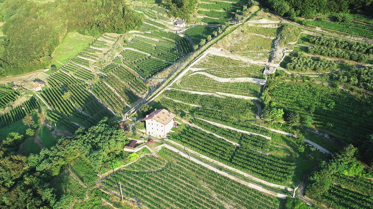
Terraced vineyards climbing the slopes of the middle Camonica valley at Piancogno, below the Annunciata monastery above Piamborno.
Nothing of this kind in Angolo Terme.
Routes
11 from neighbouring places
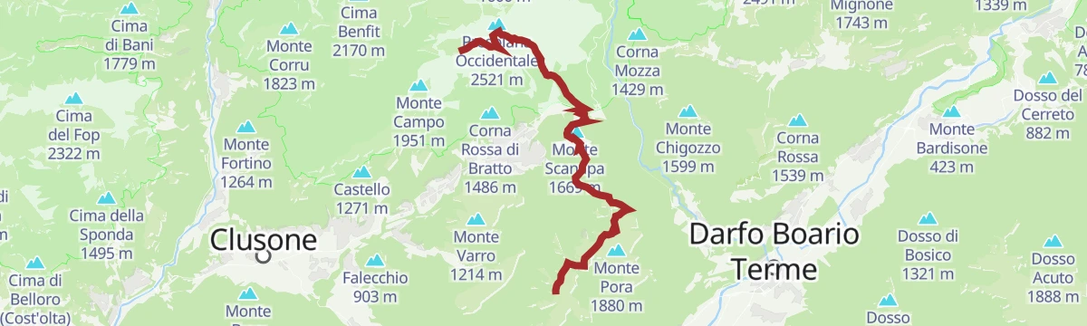
Dal Rifugio Magnolini al Passo della Presolana Il cuore delle Orobie tra creste panoramiche e leggende di montagna
The third leg of the Percorso Verde, running along open crests past Malga Scanapà and the Rifugio May, high above Castione.
- 12.2 km
- Distance
- 565 m
- Ascent
- 4 h 50 min
- Duration
- 117
- Check-ins
Variante Rosso: l’anima selvaggia della Presolana
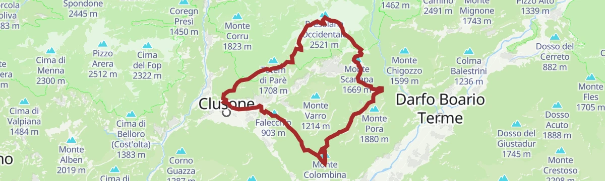
The red variant of the Presolana trek, a 54 km circuit over three days with technical sections, taking in Monte Colombina, Corna Cava and Monte Torrione.
- 53.2 km
- Distance
- 3 245 m
- Ascent
- 22 h 24 min
- Duration
- 425
- Check-ins
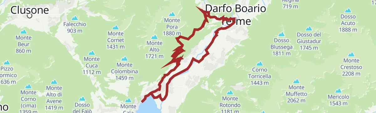
MTB Costa Volpino
A hilly loop starting from the tourist office on the Lovere waterfront, at the northern end of Lago d'Iseo, with a long climb inland.
- 38.9 km
- Distance
- 725 m
- Ascent
- 4 h 8 min
- Duration
- 32
- Check-ins
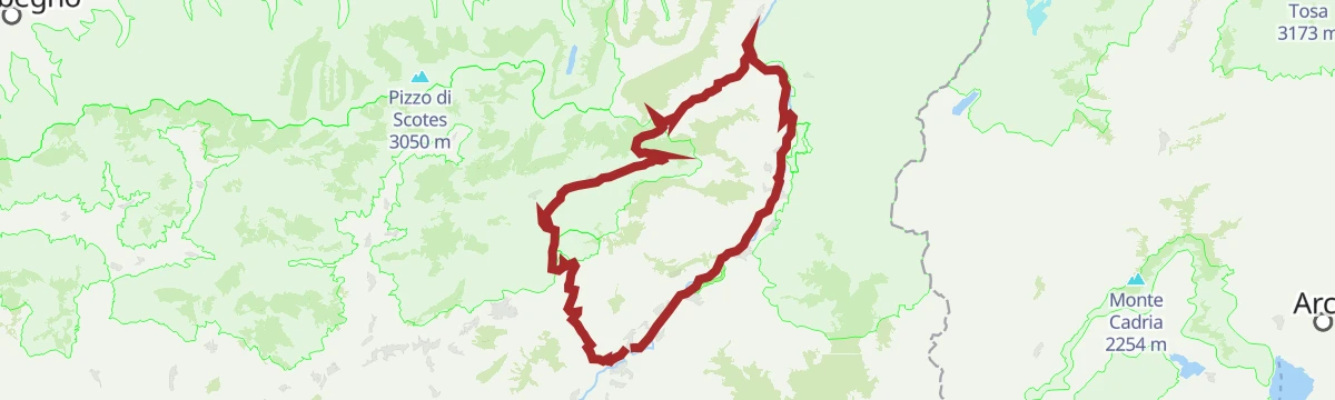
Al Passo del Vivione in Gravel
A gravel loop in the Valle Camonica, starting on the Ciclovia dell'Oglio before the long climb to the refuge at 1,828 m.
- 103.0 km
- Distance
- 2 196 m
- Ascent
- 11 h 12 min
- Duration
- 128
- Check-ins
L'anello del Monte Lantana
A circuit of Monte Lantana above Colere in the Val di Scalve, on pasture and wooded slopes across from the Presolana.
- 12.3 km
- Distance
- 990 m
- Ascent
- 6 h 22 min
- Duration
- 48
- Check-ins
Il Percorso Verde tra natura e storia La Presolana ti aspetta!
The green line of the Presolana trek: 60 km in five stages through villages, woods and pasture, with the Orobie ridges in view throughout.
- 58.5 km
- Distance
- 3 256 m
- Ascent
- 23 h 4 min
- Duration
- 418
- Check-ins
MTB Costa Volpino - Lake Moro
A climb from the head of Lake Iseo at Costa Volpino up to the Lago Moro above Darfo.
- 36.5 km
- Distance
- 720 m
- Ascent
- 3 h 55 min
- Duration
- 1
- Check-ins
Open route VisitlakeiseoDal Rifugio Magnolini al Rifugio Olmo passando per la Grotta dei Pagani L’alba sulle Orobie e il richiamo dell’ignoto
The second leg of the Percorso Rosso in the Orobie, linking two refuges by way of the Grotta dei Pagani and the Passo di Pozzera.
- 19.8 km
- Distance
- 1 567 m
- Ascent
- 9 h 44 min
- Duration
- 302
- Check-ins
Presolana Tour
A long circuit around the Presolana massif from Castione, linking the pass, the Cassinelli basin and the ridges below Corna Cava.
- 24.3 km
- Distance
- 928 m
- Ascent
- 8 h
- Duration
- 239
- Check-ins
Trekking al Rifugio Medici sotto la Presolana
3.9 km away, in Castione della Presolana
From the Presolana pass up to the Medici hut, under the south face of the Presolana.
- 5.7 km
- Distance
- 251 m
- Ascent
- 1 h 59 min
- Duration
- 158
- Check-ins
Colere e le sue frazioni in MTB
8.6 km away, in Colere
A quiet ride through the hamlets of Colere in the green Val di Scalve, climbing past the ski-area base at Carbonera.
- 13.1 km
- Distance
- 700 m
- Ascent
- 1 h 55 min
- Duration
- 41
- Check-ins
Da Colere alla Malga Polzone
9.1 km away, in Colere
A short ski-touring line from Colere up to Malga Polzone, laid out for beginners and keeping clear of the pisted runs.
- 2.3 km
- Distance
- 482 m
- Ascent
- 0 m
- Descent
- 1 h 19 min
- Duration
- 80
- Check-ins
MTB Bossico - yellow route
10.5 km away, in Bossico
An easy circuit from Bossico, out on tarmac to Località Volpi above the lake and back on forest track past the picnic ground at Pila.
- 6.7 km
- Distance
- 207 m
- Ascent
- 48 min
- Duration
Open route VisitlakeiseoVia ferrata from Toline to Corna Trentapassi
13 km away, in Pisogne
A via ferrata above the hamlet of Toline, approached on the CAI 212 path through the woods, then cabled rock to the top of the Corna Trentapassi.
- 8.1 km
- Distance
- 1 086 m
- Ascent
- 7 h 57 min
- Duration
- 144
- Check-ins
 Corna Trentapassi 1 248 m
- Anticima Est Corna Trentapassi 1 192 m
- Forcelle di Coloreto 992 m
- Anticima Nord Corna Trentapassi 1 175 m
 Toline 194 m
 Forcella Occidentale Trentapassi 964 m
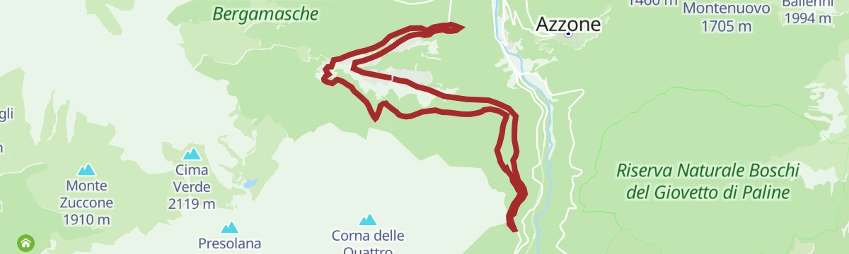
Open route VisitlakeiseoRiserva del Giovetto in e-bike
8.5 km away, in Borno
An e-bike climb out of Borno through the protected woods of Paline to the Croce di Salven and on up to the Rifugio San Fermo.
- 29.9 km
- Distance
- 1 857 m
- Ascent
- 4 h 50 min
- Duration
- 107
- Check-ins
In Val Seriana ai Rif. Magnolini e Pian de la Palù
3 km away, in Castione della Presolana
An open route across the Monte Pora meadows beside idle ski lifts to the Magnolini and Pian de la Palù huts, facing the Presolana.
- 11.4 km
- Distance
- 441 m
- Ascent
- 3 h 45 min
- Duration
- 154
- Check-ins
In bici in Presolana
7.1 km away, in Castione della Presolana
A mountain bike climb from Castione della Presolana to the Rino Olmo hut, then a long traverse to the Carlo Medici hut at the Cassinelli.
- 19.2 km
- Distance
- 1 067 m
- Ascent
- 2 h 52 min
- Duration
- 255
- Check-ins
Trekking sul Monte Visolo
3.9 km away, in Castione della Presolana
A steep pull to Monte Visolo beside the Presolana, with the Val Seriana and the Pizzo Corzene in view from the top.
- 5.3 km
- Distance
- 1 059 m
- Ascent
- 3 h 57 min
- Duration
- 123
- Check-ins
Rifugio Carlo Medici vista Presolana
3.9 km away, in Castione della Presolana
A short climb from the Presolana pass, between Val Seriana and Val di Scalve, up to the Carlo Medici hut facing the south wall.
- 2.3 km
- Distance
- 272 m
- Ascent
- 1 h 7 min
- Duration
- 113
- Check-ins
MTB loop route Lovere - Bossico - Ceratello - Lovere
10.2 km away, in Lovere
A compact circuit above Lovere, climbing by way of Davine and the Passo delle Croci to the San Giovanni sanctuary and back.
- 14.0 km
- Distance
- 730 m
- Ascent
- 2 h
- Duration
- 7
- Check-ins
Open route Visitlakeiseo
No routes of this kind in Angolo Terme yet.
The region's own picks
Featured route
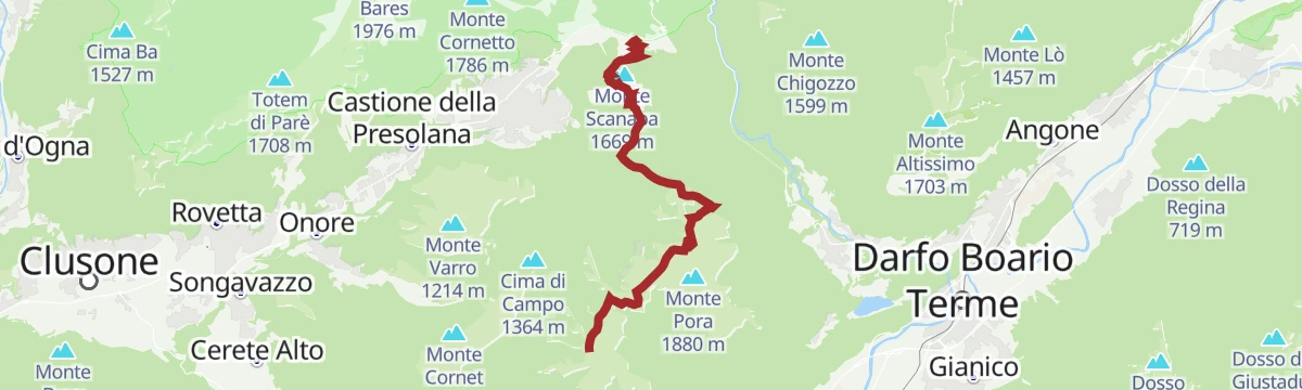
Dal Rifugio Magnolini al Passo della Presolana Il cuore delle Orobie tra creste panoramiche e leggende di montagna
The third leg of the Percorso Verde, running along open crests past Malga Scanapà and the Rifugio May, high above Castione.
Planning a trip to Angolo Terme?
Everything else Lombardy has, in one place


Take Angolo Terme with you into the mountains
Every route on this page with 3D terrain, GPX navigation and offline maps — including the valleys with no signal.
Data sources
- Official website: turismovallecamonica.it ↗
- Routes and highlights: Val Seriana, in Lombardia, Visitbrescia, Trekkingpresolana, Visitlakeiseo, Visit Lake Iseo, Astrotourism
- Published as open data by the tourist boards named above.
- Region summary generated from the board's own material.
