
Curated by Region Hall-Wattens
Ampass
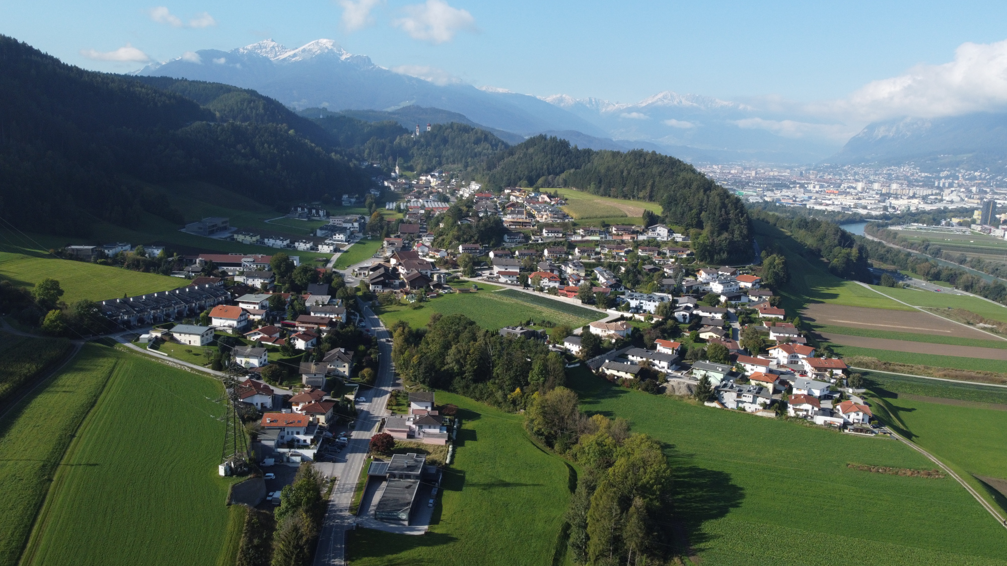
Small Inn valley community east of Innsbruck at 650 m, an ancient settlement site gathered around the hilltop church of St. Johannes.
- 1Highlights
- 15Routes
Highlights
14 from neighbouring places
Pfarrkirche St. Johannes
The parish church of St. John in Ampass (650 m) east of Innsbruck, a village church in the pastoral care of Wilten Abbey.
Stadtarchäologie Hall
2.2 km away, in Hall in Tirol
An archaeology programme in Hall in Tirol presenting excavation finds from the old town, with displays and guided tours for adults and children.
Münze Hall
2.2 km away, in Hall in Tirol
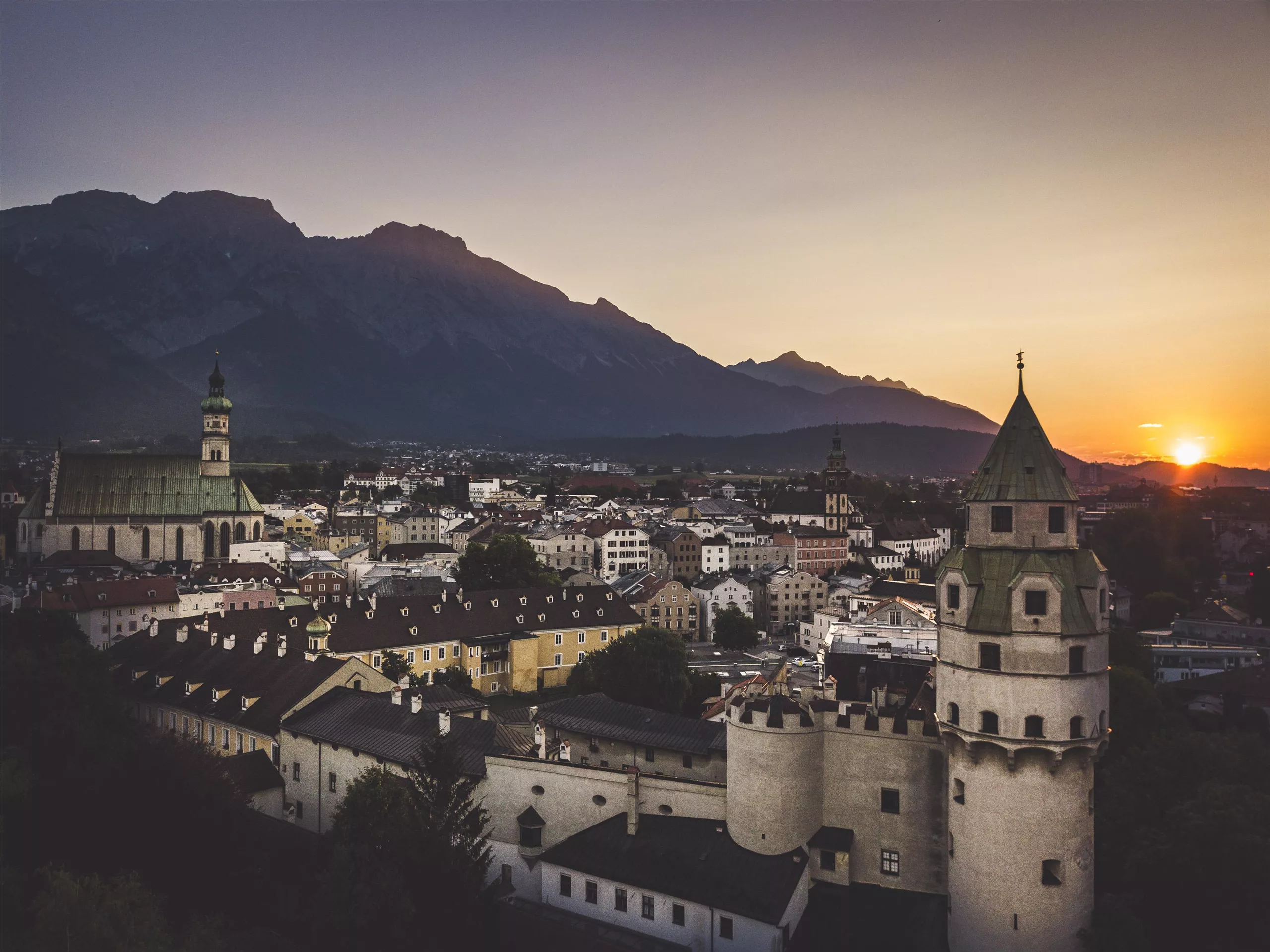
A museum in the mint of Hall in Tirol, where large silver coins ancestral to the taler were struck from the late 15th century.
Stadtmuseum Hall
2.2 km away, in Hall in Tirol
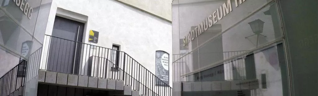
The town museum of Hall in Tirol, presenting the salt town's history from medieval trade and minting to everyday life in the old lanes.
Burg Hasegg & Museum Münze Hall
2.2 km away, in Hall in Tirol
The mint castle of Hall in Tirol, where silver thalers were struck from the late 15th century; the museum demonstrates historic coining presses beneath the Münzerturm tower.
Johanneskirche
2.3 km away, in Hall in Tirol
A church dedicated to St John within the old town of Hall in Tirol, one of several historic churches a few steps from the main square.
Klocker Museum
2.3 km away, in Hall in Tirol
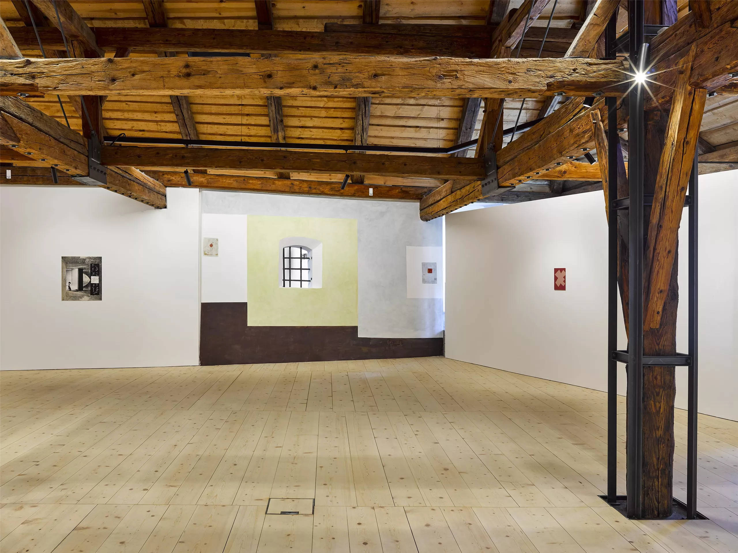
A private museum in the old town of Hall in Tirol, showing changing exhibitions drawn from an art collection built up over decades.
Pfarrkirche St. Nikolaus
2.4 km away, in Hall in Tirol
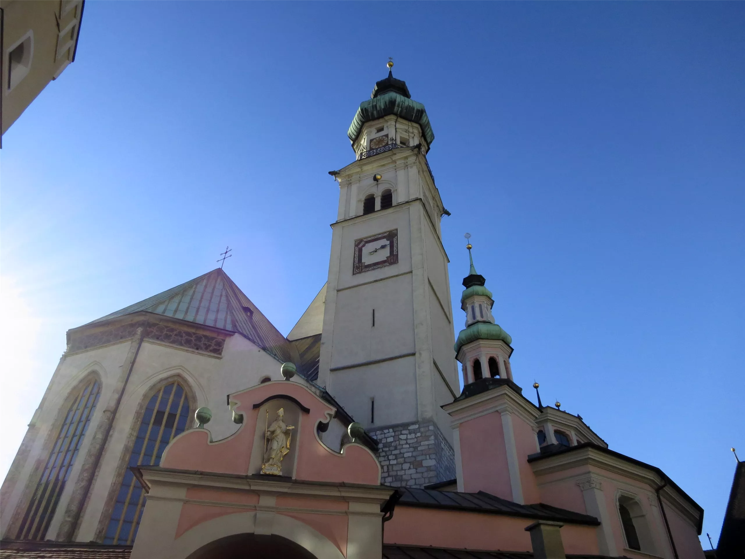
The Gothic parish church of Hall in Tirol, dedicated to St Nicholas, whose broad nave anchors the upper square of the medieval old town.
Bergbaumuseum Hall in Tirol
2.4 km away, in Hall in Tirol
A museum in Hall in Tirol on the salt mining of the Halltal, with a reconstructed mine gallery showing how the town's wealth was dug from the mountain.
Herz Jesu Kloster
2.5 km away, in Hall in Tirol
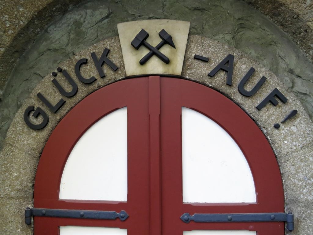
A convent church in Hall in Tirol dedicated to the Sacred Heart, holding basilica rank and still home to a religious community.
Jesuitenkirche
2.5 km away, in Hall in Tirol
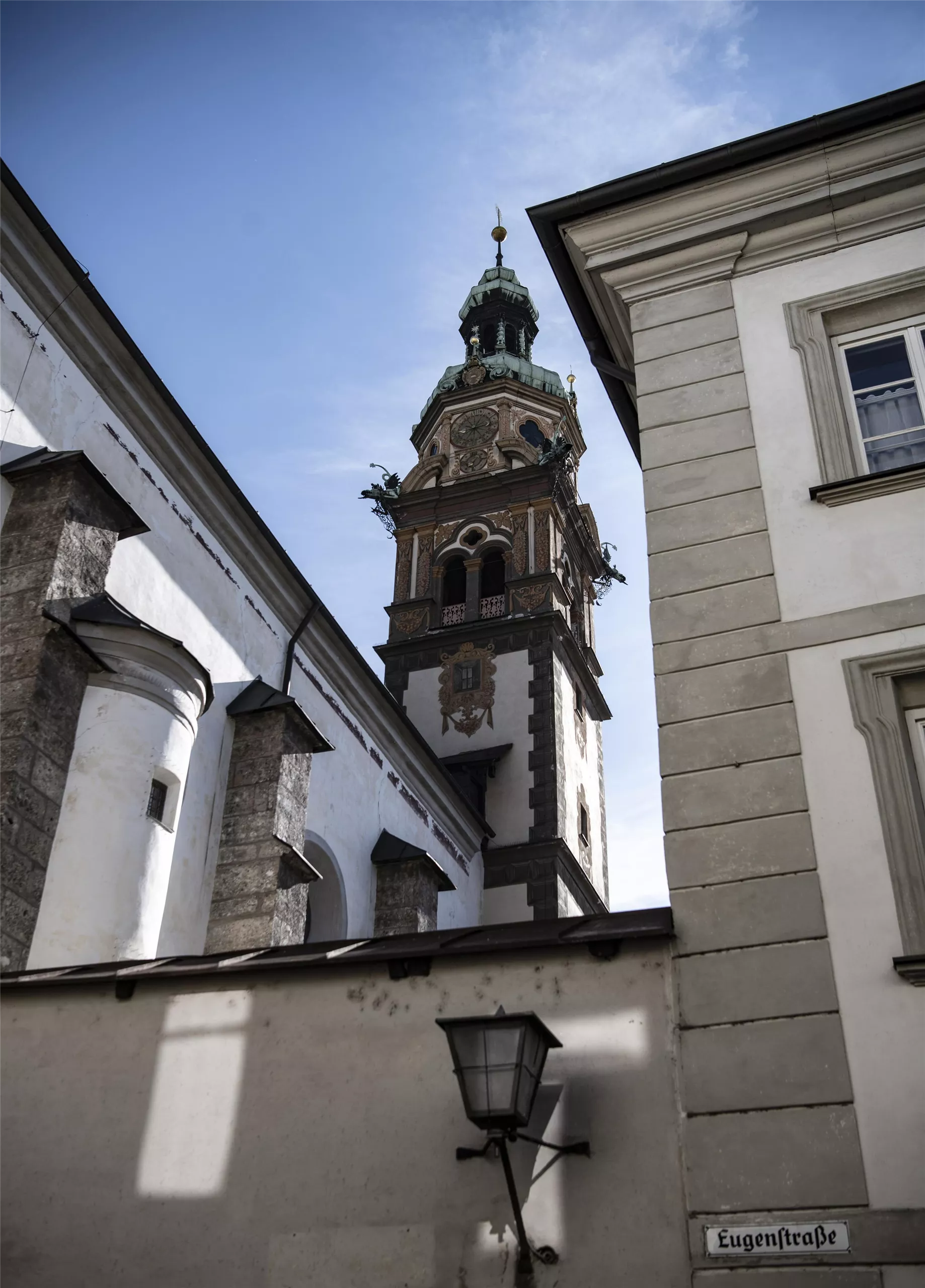
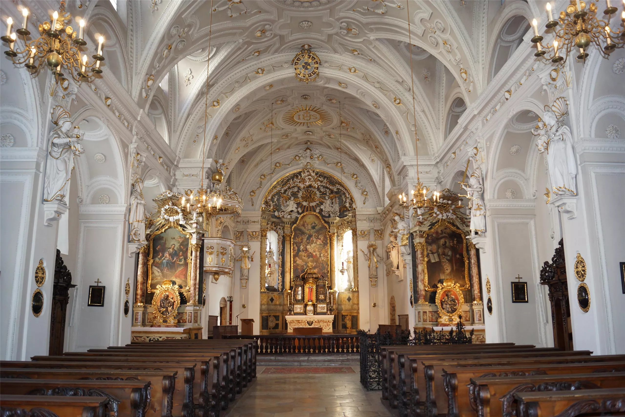
The church of the former Jesuit college in Hall in Tirol, an early baroque building set among the lanes of the old town.
Golfclub Innsbruck-Igls- Golfplatz Rinn (18-Loch)
2.6 km away, in Rinn
The 18-hole course of Golfclub Innsbruck-Igls at Rinn (918 m), laid out on the sunny terrace southeast of Innsbruck.
Hallenbad Olympisches Dorf
2.8 km away, in Rum
An indoor pool in Innsbruck's Olympic Village quarter, serving the east of the city with public swimming through the year.
Badesee Rossau (Baggersee) Innsbruck
2.9 km away, in Innsbruck
A former gravel pit in Innsbruck's Rossau district run as a public swimming lake, with lawns and facilities in the summer season.
Pfarrkirche Tulfes
3.6 km away, in Tulfes
The parish church of Tulfes at 923 m on the sunny plateau above the Inn valley, the centre of the village below the Glungezer.
 Historic site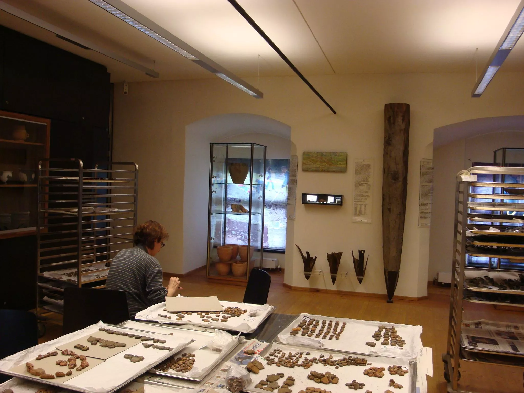

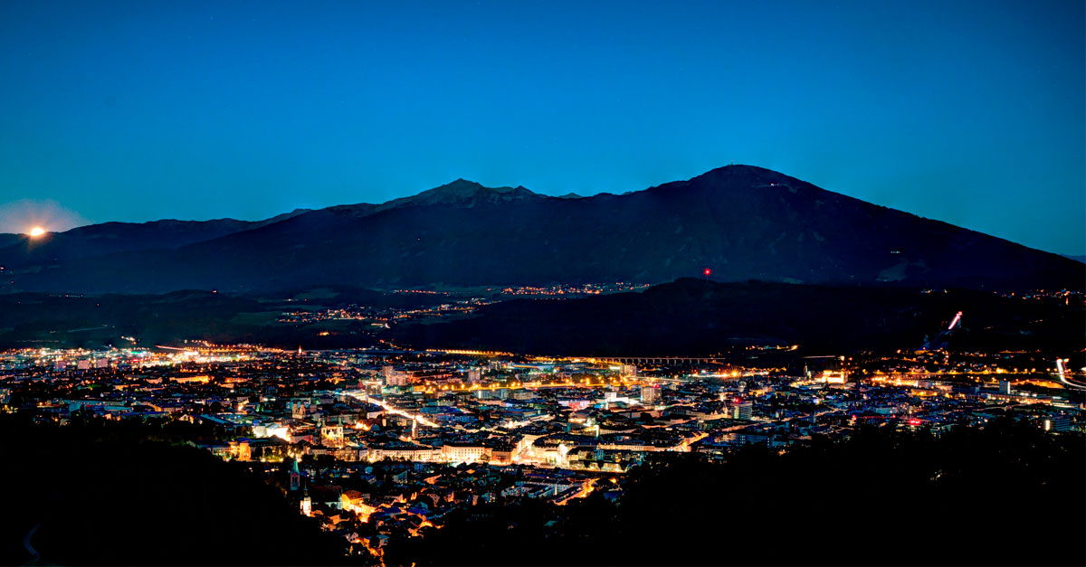
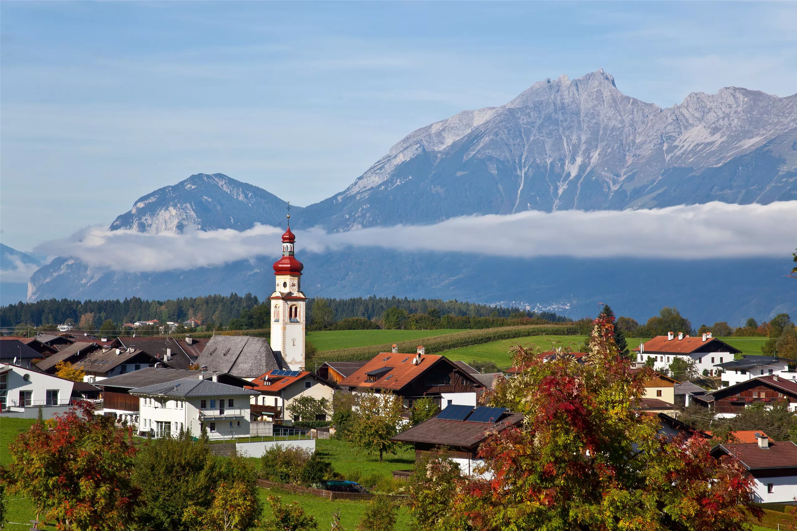
Nothing of this kind in Ampass.
Routes
Guggerinselrunde leichte Nordic Walking Runde in Hall Tirol
Flat 3.6 km running and walking loop along the Inn at Hall, with next to no height gain.
- 3.6 km
- Distance
- 0 m
- Ascent
- 50 min
- Duration
Bergsagen Weitwanderweg: Etappe 3 von Tulfes nach Thaur
Third Bergsagen stage, 13.8 km from Tulfes through the medieval town of Hall in Tirol and the pilgrimage village of Absam, then across the Inn to Thaur.
- 13.7 km
- Distance
- 263 m
- Ascent
- 4 h 9 min
- Duration
- 4
- Check-ins
Über dem Inntal mittelschwere Rennradtour in Hall Tirol
A route high above the Inn valley from Hall in Tirol to the Hungerburg terrace at about 860 m on the north side of Innsbruck.
- 32.8 km
- Distance
- 424 m
- Ascent
- 3 h 18 min
- Duration
- 27
- Check-ins
Fernradweg München-Venezia: 2. Abschnitt, die Schatzkiste Tirol
A long-distance stage down the Inn valley to Innsbruck and then up the Wipptal to the Brenner Pass, with rail stops at Pill-Vomperbach and Steinach.
- 82.0 km
- Distance
- 1 563 m
- Ascent
- 8 h 45 min
- Duration
- 33
- Check-ins
Tempolaufstrecke in Hall in Tirol
A flat 1 km measured stretch beside the Inn at Hall, laid out for speed sessions rather than sightseeing.
- 999 m
- Distance
- 0 m
- Ascent
- 14 min
- Duration
Tulfer Mittelgebirgsrunde
A forest-road loop on the terrace above the Inn valley, over the Palmbühel and Kleinberg and through the farms and lifts around Rinn.
- 32.8 km
- Distance
- 685 m
- Ascent
- 3 h 33 min
- Duration
- 6
- Check-ins
After Work
An evening round on the terraces above Hall in Tirol, over the Palmbühel and past the Walderkapelle and the Großer Weiher at 630 m.
- 49.9 km
- Distance
- 1 032 m
- Ascent
- 5 h 24 min
- Duration
- 8
- Check-ins
Fernradweg München Venedig in der Region Hall Wattens
The Munich to Venice long-distance route where it runs level along the Inn through Hall and Wattens.
- 26.3 km
- Distance
- 20 m
- Ascent
- 2 h 21 min
- Duration
- 2
- Check-ins
Rund um Innsbruck
A long road loop over the terraces east of Innsbruck, through Rinn and Ampass and down to the Inn at Fritzens and Wattens.
- 60.6 km
- Distance
- 1 464 m
- Ascent
- 6 h 45 min
- Duration
- 8
- Check-ins
Innradweg
A flat valley-floor route along the Inn, running downstream from Innsbruck's old town past Hall in Tirol towards Terfens and Weer.
- 31.8 km
- Distance
- 10 m
- Ascent
- 2 h 50 min
- Duration
- 1
- Check-ins
30a Wipptalradweg über Römerstraße
A long ride between Steinach am Brenner and the Patscherkofelbahn base station, following the old Roman road above the Wipptal past the Goldbichl.
- 34.5 km
- Distance
- 1 172 m
- Ascent
- 4 h 10 min
- Duration
- 6
- Check-ins
Innradweg - Tiroler Unterland - Radwanderroute 2
A long day on the Inn valley cycle route, running downstream from Innsbruck through Hall in Tirol to Rattenberg, Brixlegg and Kundl.
- 99.6 km
- Distance
- 95 m
- Ascent
- 8 h 58 min
- Duration
- 5
- Check-ins
Innradweg von Innsbruck bis Wörgl
A near-flat run downstream along the Inn from Innsbruck to Wörgl, passing Hall in Tirol and the villages of the lower valley.
- 68.5 km
- Distance
- 268 m
- Ascent
- 6 h 20 min
- Duration
- 3
- Check-ins
Innradweg
Ninety-seven kilometres of near-level cycle path along the Inn, from Mötz past Telfs and Innsbruck down to Rotholz.
- 86.9 km
- Distance
- 245 m
- Ascent
- 7 h 56 min
- Duration
- 2
- Check-ins
Rad-Rundtour am südlichen Mittelgebirge
A road circuit across the terraces south-east of Innsbruck, over the Palmbühel and through Igls and Judenstein.
- 30.9 km
- Distance
- 769 m
- Ascent
- 3 h 28 min
- Duration
- 2
- Check-ins


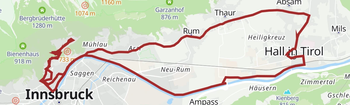


No routes of this kind in Ampass yet.
Planning a trip to Ampass?
Everything else Tyrol has, in one place


Take Ampass with you into the mountains
Every route on this page with 3D terrain, GPX navigation and offline maps — including the valleys with no signal.
Data sources
- Official website: innsbruck.info ↗
- Routes and highlights: Region Hall-Wattens, Innsbruck Tourismus, Wipptal Tourismus, Alpbachtal Tourismus, Kitzbüheler Alpen Tourismus
- Published as open data by the tourist boards named above.
- Region summary generated from the board's own material.
