
Curated by Innsbruck Tourismus
Aldrans
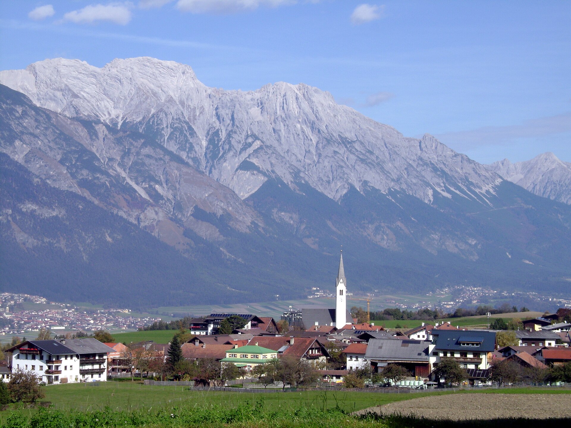
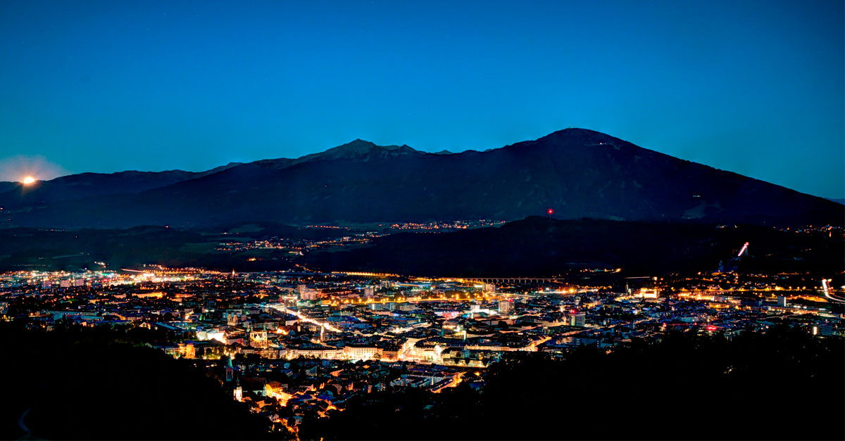
A village on the sunny mid-mountain terrace just southeast of Innsbruck at 760 m, meadows and small alps rising toward the Patscherkofel.
Photo: Svickova · Public domain
- 15Highlights
- 15Routes
- Featured summit · Grünbichl
Highlights
All 15 from neighbouring places
Pfarrkirche St. Johannes
2.4 km away, in Ampass
The parish church of St. John in Ampass (650 m) east of Innsbruck, a village church in the pastoral care of Wilten Abbey.
Golfclub Innsbruck-Igls- Golfplatz Rinn (18-Loch)
2.5 km away, in Rinn
The 18-hole course of Golfclub Innsbruck-Igls at Rinn (918 m), laid out on the sunny terrace southeast of Innsbruck.
Golfclub Innsbruck-Igls - Golfplatz Lans (9-Loch)
3.1 km away, in Lans
A nine-hole course of Golfclub Innsbruck-Igls at Lans (867 m) on the plateau south of the city, played with mountain views.
Schloss Ambras Innsbruck
3.2 km away, in Innsbruck
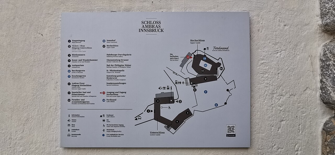
A Renaissance castle above Innsbruck where Archduke Ferdinand II installed his collections; its Chamber of Art and Curiosities and Spanish Hall survive.
Badesee Rossau (Baggersee) Innsbruck
3.4 km away, in Innsbruck
A former gravel pit in Innsbruck's Rossau district run as a public swimming lake, with lawns and facilities in the summer season.
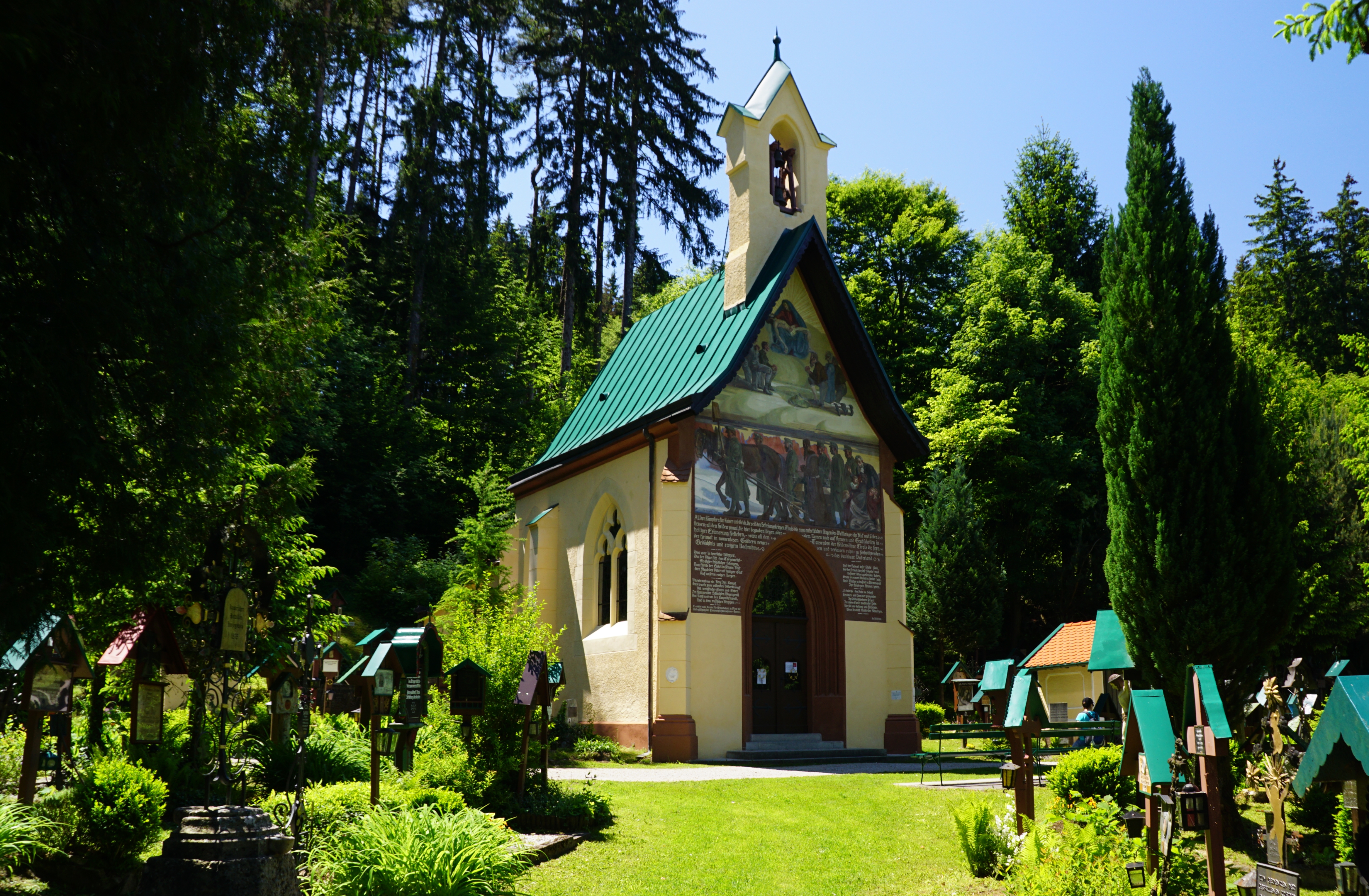
Tummelplatz Historischer Waldfriedhof
3.6 km away, in Innsbruck
A wooded memorial cemetery near Schloss Ambras where soldiers from Innsbruck's garrison hospitals were buried in the Napoleonic era.
Alpenvereinshütte Meissner Haus
3.8 km away, in Ellbögen
An Alpine Club hut in the Viggartal above Ellbögen, south of Innsbruck, offering meals and beds to walkers below the Glungezer ridge.
Freibad Tivoli
5.1 km away, in Innsbruck
Innsbruck's large open-air pool complex by the Tivoli grounds, with swimming and diving pools, lawns and a view of the Nordkette.
Familiengärtnern und Erzählcafé am Weltacker
5.1 km away, in Innsbruck
Family gardening afternoons with a storytelling café at the Weltacker in Innsbruck, an education plot showing the world's main crops.
Das Tirol Panorama
5.2 km away, in Innsbruck
A museum at Bergisel above Innsbruck built around the giant 360-degree painting of the 1809 Tyrolean uprising led by Andreas Hofer.
Bergisel Schanze
5.3 km away, in Innsbruck
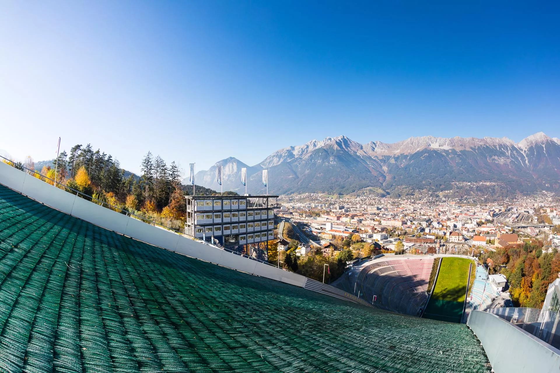
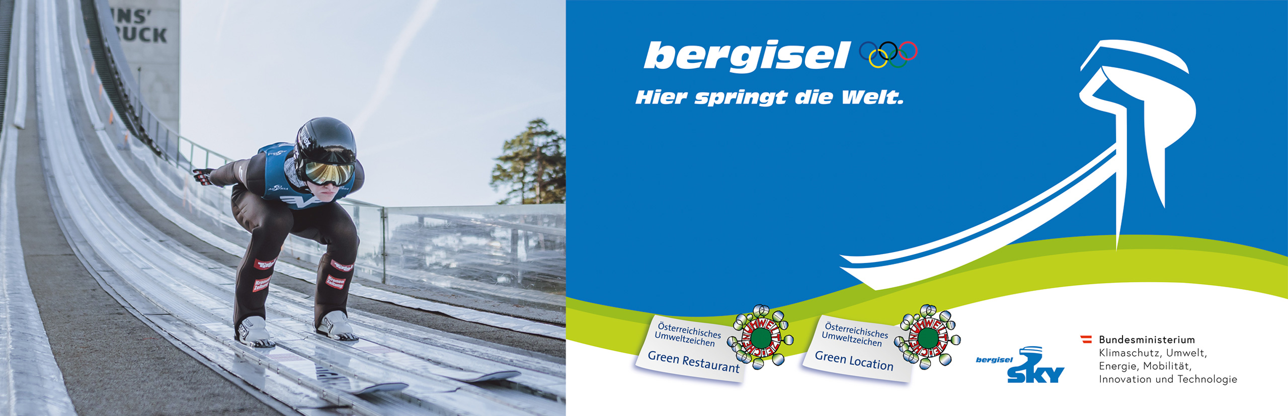
The ski-jumping hill above Innsbruck, rebuilt in 2002 to a Zaha Hadid design; its tower overlooks the city and the jump hosts a Four Hills Tournament event each January.
Bergisel Sprungschanze
5.3 km away, in Innsbruck
The ski-jumping hill on the Bergisel above Innsbruck, rebuilt to a Zaha Hadid design in 2002 and a fixture of the Four Hills Tournament.
Stiftskirche Stiftsmuseum Wilten
5.4 km away, in Innsbruck
The baroque church of the Premonstratensian abbey of Wilten in Innsbruck; the adjoining museum shows pieces from the abbey's collections.
Basilika Wilten
5.5 km away, in Innsbruck
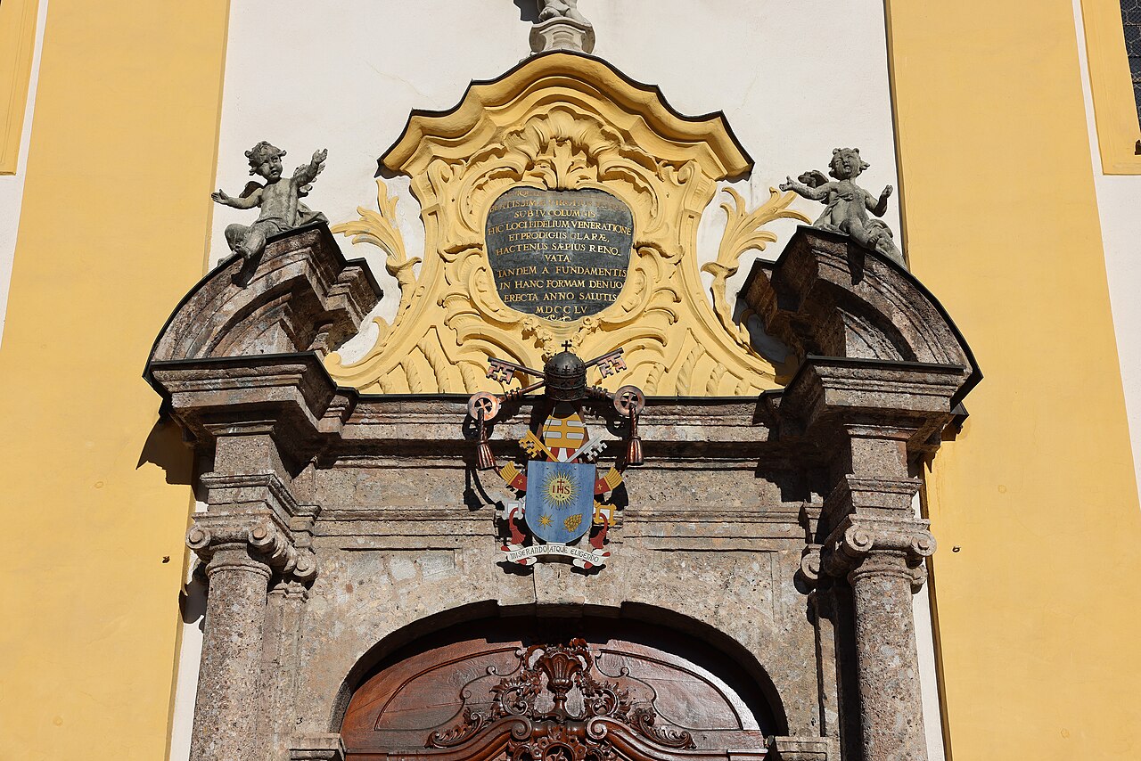
An 18th-century pilgrimage basilica in Innsbruck's Wilten district, with a rococo interior and a venerated image of the Virgin.
Hallenbad Amraser-Straße
5.6 km away, in Innsbruck
An indoor city pool on Amraser Straße in Innsbruck, a year-round swimming venue run by the municipal utilities.
 Historic site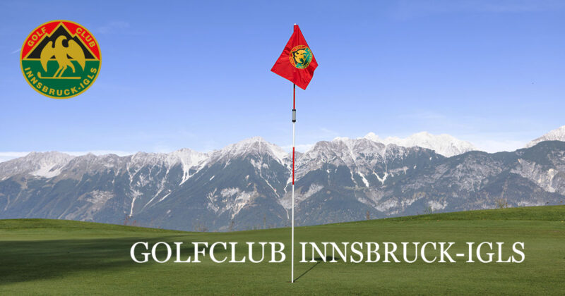

Nothing of this kind in Aldrans.
Routes
Zirbenweg
High traverse through one of the Alps' largest stone-pine stands, from the Patscherkofel lifts across to the Tulfein Alm above Tulfes, with steady Inntal views.
- 7.3 km
- Distance
- 349 m
- Ascent
- 2 h 35 min
- Duration
- 52
- Check-ins
Adlerweg-Etappe 13: Innsbruck - Zirbenweg - Innsbruck
City stage of the Eagle Walk: up the Patscherkofel by lift, along the stone-pine high path to the Tulfein Alm and back toward Innsbruck, with bus links at both ends.
- 7.7 km
- Distance
- 350 m
- Ascent
- 2 h 40 min
- Duration
- 65
- Check-ins
Viggarspitze
A 16.1 km outing on the stone pine path to the Viggarspitze, with the option of descending by the Rinner Alm to Rinn instead of retracing the way.
- 16.1 km
- Distance
- 402 m
- Ascent
- 6 h 1 min
- Duration
- 14
- Check-ins
Aldranser Alm (554)
A forest-road climb from the terrace villages east of Innsbruck up to the alm at 1,511 m, and the same way back down.
- 12.7 km
- Distance
- 658 m
- Ascent
- 1 h 48 min
- Duration
- 2
- Check-ins
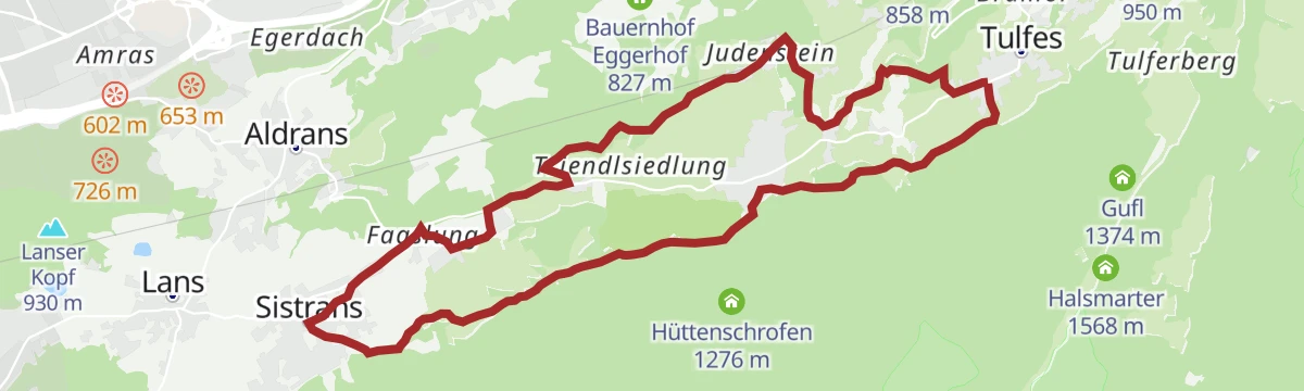
Tulfer Mittelgebirgsrunde
A forest-road loop on the terrace above the Inn valley, over the Palmbühel and Kleinberg and through the farms and lifts around Rinn.
- 32.8 km
- Distance
- 685 m
- Ascent
- 3 h 33 min
- Duration
- 6
- Check-ins
After Work
An evening round on the terraces above Hall in Tirol, over the Palmbühel and past the Walderkapelle and the Großer Weiher at 630 m.
- 49.9 km
- Distance
- 1 032 m
- Ascent
- 5 h 24 min
- Duration
- 8
- Check-ins
Aldrans - Teufelsmühle - Judenstein (19)
Gentle plateau walk from Aldrans through mixed forest past the Jausenstation Herzsee, ending near the pilgrimage church at Judenstein above Rinn.
- 11.0 km
- Distance
- 329 m
- Ascent
- 3 h 23 min
- Duration
- 2
- Check-ins
Almenweg 1600 - Fünf Almen am Patscherkofel
Nearly level traverse at around 1,600 m on the Patscherkofel, strung between five alps from the Sistranser Alm to the Aldranser Alm — ride the lift up, then stroll hut to hut.
- 10.6 km
- Distance
- 89 m
- Ascent
- 2 h 42 min
- Duration
- 41
- Check-ins
Entlang des Speckbacherweges
Long but gentle 17.4 km walk along the Speckbacherweg above Tulfes, with under 500 m of climb spread over the distance.
- 17.4 km
- Distance
- 456 m
- Ascent
- 5 h 12 min
- Duration
- 1
- Check-ins
Vital Radweg vom Patscherkofel zum Glungezer - Route Nord
A rolling route across the terraces on the south side of the Inn valley, calling at the Herzsee and the Vogelhütte above Igls.
- 16.4 km
- Distance
- 291 m
- Ascent
- 1 h 43 min
- Duration
- 1
- Check-ins
 Jausenstation Herzsee 814 m
- Jausenstation Vogelhütte 833 m
- Tourismusbüro Igls 870 m
 Kneippanlage 868 m
30a Wipptalradweg über Römerstraße
A long ride between Steinach am Brenner and the Patscherkofelbahn base station, following the old Roman road above the Wipptal past the Goldbichl.
- 34.5 km
- Distance
- 1 172 m
- Ascent
- 4 h 10 min
- Duration
- 6
- Check-ins
Aldrans - Tummelplatz - Innsbruck (2,13)
Nearly level walk from Aldrans through quiet woods past the Tummelplatz memorial site down toward Innsbruck, with bus stops handy at both ends.
- 4.6 km
- Distance
- 43 m
- Ascent
- 1 h 11 min
- Duration
Aldrans - Aldranser Alm
Steady forest climb from the village up the Patscherkofel's western flank to the Aldranser Alm, a working alp with a terrace looking across the Inn valley.
- 9.7 km
- Distance
- 601 m
- Ascent
- 4 h 7 min
- Duration
- 2
- Check-ins
Rad-Rundtour am südlichen Mittelgebirge
A road circuit across the terraces south-east of Innsbruck, over the Palmbühel and through Igls and Judenstein.
- 30.9 km
- Distance
- 769 m
- Ascent
- 3 h 28 min
- Duration
- 2
- Check-ins
Vital-Radweg
A short tour across the plateau between Igls and Rinn, passing the Herzsee and the Kneipp pool at 868 m.
- 22.5 km
- Distance
- 460 m
- Ascent
- 2 h 26 min
- Duration
- 1
- Check-ins




No routes of this kind in Aldrans yet.
The region's own picks

Featured route
Zirbenweg
High traverse through one of the Alps' largest stone-pine stands, from the Patscherkofel lifts across to the Tulfein Alm above Tulfes, with steady Inntal views.
Planning a trip to Aldrans?
Everything else Tyrol has, in one place


Take Aldrans with you into the mountains
Every route on this page with 3D terrain, GPX navigation and offline maps — including the valleys with no signal.
Data sources
- Official website: innsbruck.info ↗
- Routes and highlights: Innsbruck Tourismus, Region Hall-Wattens, Wilder Kaiser Tourismus, Wipptal Tourismus
- Published as open data by the tourist boards named above.
- Region summary generated from the board's own material.
