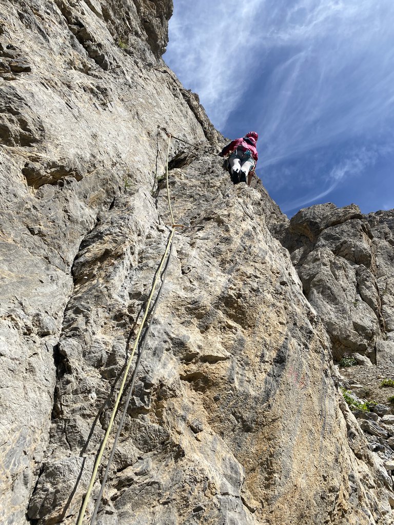
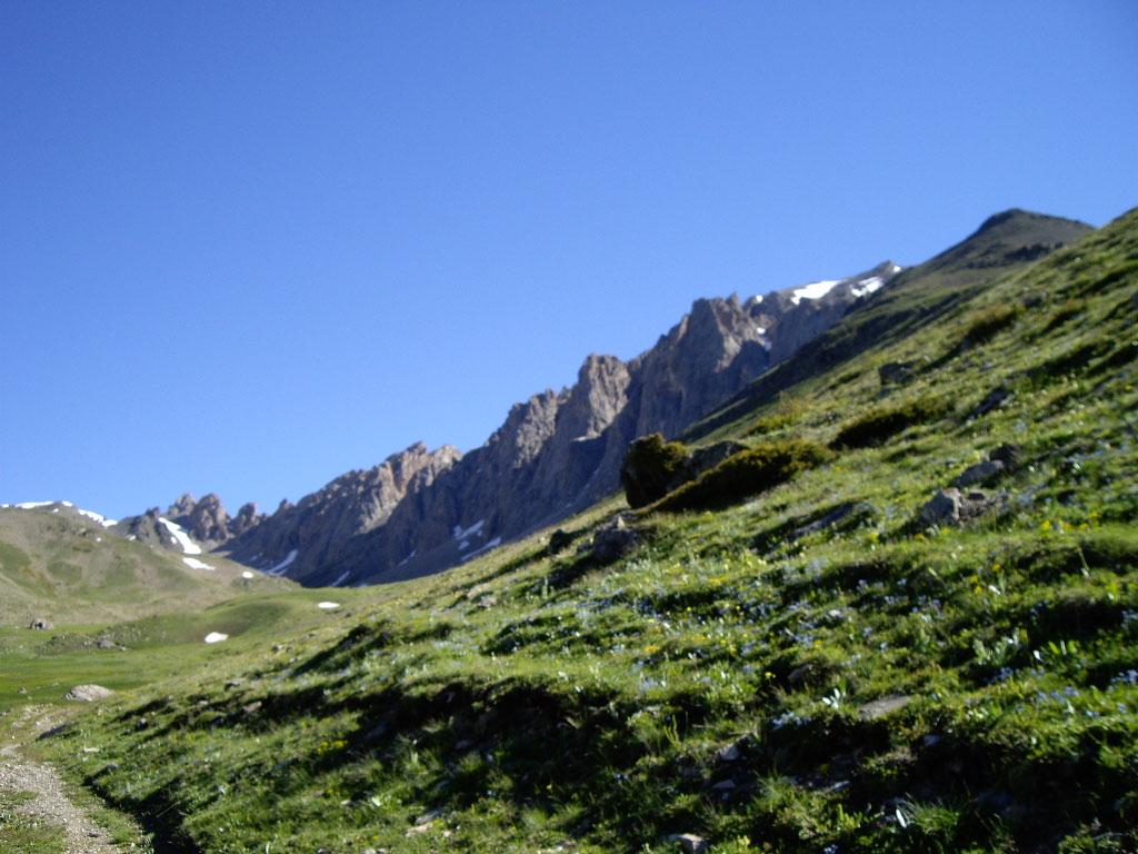
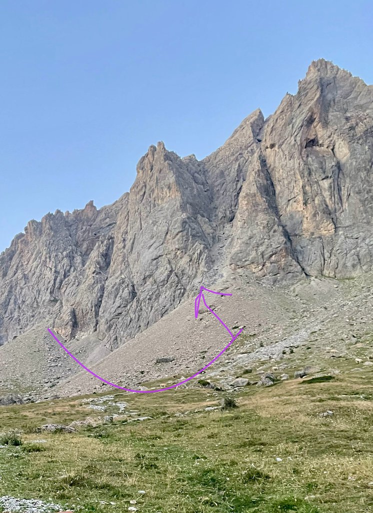
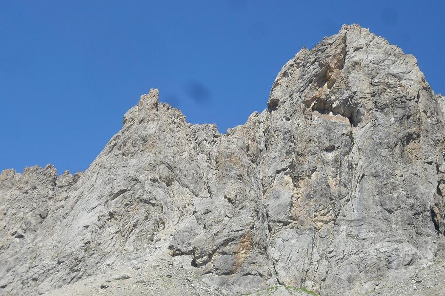
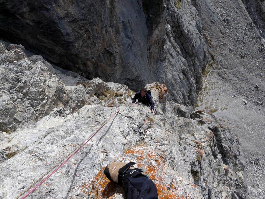
Rock climbing at Vallon de la Moulette - Tete Noire 2ème tour, Petite Poire in Provence-Alpes-Côte d'Azur, France — 6 routes, grades French 5a–6c. Grades, topo links and photos on the PeakVisor hiking map.
Show more
Climbing
6 routes5a–6c Fr1 sectorSW
Vallon de la Moulette – Tete Noire 2ème tour
5 routes · 6a+–6c Fr · SE–W
Moulette Frites6a+ (obl. 5c) · 300 m · S bella via spittata ma non regalata. sole alla base verso le 12 Dal col du granon prendere la strada sterrata che conduce poco sotto al col de buffère dove si posteggia. da lì prendere il sentiero che conduce, restando… gulliver.it ↗
La Grand-Mère6b+ (obl. 5c) · a0 · 350 m · SW Via impegnativa da non sottovalutare per la lunghezza dell'avvicinamento, l'uscita e la via di discesa da ricercare. Prevedere circa 5-6 ore per la via, 0,30 ore per fare la cresta finale ed arrivare al sentiero di… gulliver.it ↗
Premières Mesures6b (obl. 6a) · 350 m · SW Bella via di stampo moderno, interamente spittata ma mai eccessivamente, mai banale e su roccia stupenda. Per la discesa si consiglia di sfruttare le soste attrezzate per le calate (con catena) che si trovano dalla… gulliver.it ↗
Vaille que Vaille6a+ (obl. 6a) · 350 m · SE Ambiente spettacolare, il vallone della moulette è veramente un bel posto per arrampicare fuori dal caos (avvicinamento dal colle de la Buffere (1h-1h20). Il primo tiro di roccia instabile poi migliora e dal terzo… gulliver.it ↗
Patience dans l’Azur6c (obl. 6b+) · 350 m · W Bellissima linea, esigente, su pietra fantastica. La chiodatura è ancora quella originale con tasselli da 8mm e piastine artigianali in alluminio che però sembrano ancora in ottimo stato. In alcuni punti sono molto… gulliver.it ↗
Other routes
1 route
Voie de la Poire5a (obl. 4) · 350 m Salita classica, prese un po' saponose sui passaggi chiave. Per avvicinamento e rientro meglio scarponcini che non scarpe. dal col de la Buffère, seguire il sentiero in costa fino al vallone della Moulette. Risalire… gulliver.it ↗
We use GPS information embedded into the photo when it is available.
3D mountains overlay
Adjust mountain panorama to perfectly match your photos because recorded by camera photo position might be imprecise.
Move tool
Rotate tool
Zoom
More customization
Choose which peak labels should make into the final photo and what photo title should be.
Next
Photo Location
Coordinates work here too — paste them as 69.72728, 20.61890 and press Enter
Satellitte
Flat map
Relief map
Latitude
Longitude
Altitude
OR
Latitude
°'''
Longitude
°'''
Apply
Register Peak
Peak Name
Latitude
Longitude
Altitude
Register
Teleport
PeakVisor
This 3D model of Sagarmatha National Park in Nepal was made using the PeakVisor app topographic data. The mobile app features higher precision models worldwide, more topographic details, and works offline. Download PeakVisor maps today.
Download OBJ model
PeakVisor
The download should start shortly. If you find it useful please consider supporting the PeakVisor app.
PeakVisor for iOS and Android
Be a superhero of outdoor navigation with state-of-the-art 3D maps and mountain identification in the palm of your hand!