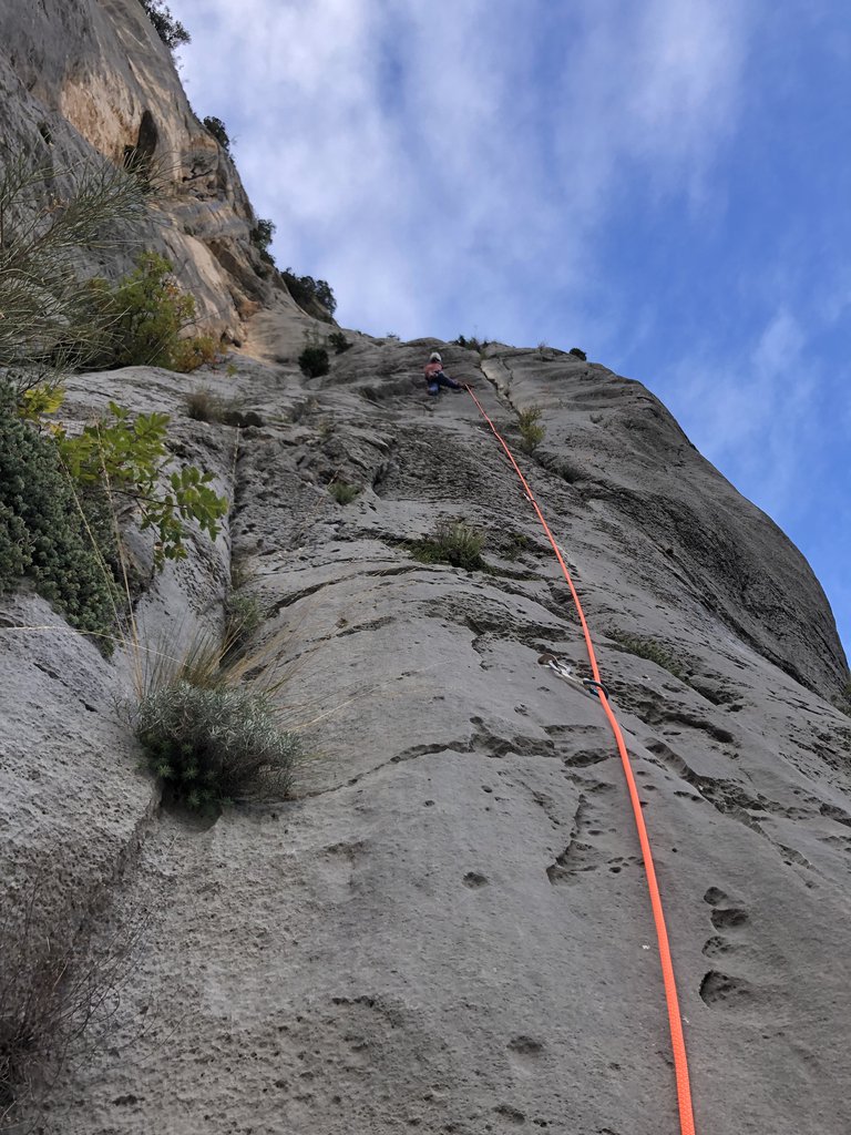
Rock climbing at Secteur Luna Bong - Éperon Sublime, Secteur Solanuts et Symphonie du Temps in Provence-Alpes-Côte d'Azur, France — 4 routes, 3 sectors, grades French 6b–6c+. Grades, topo links and photos on the PeakVisor hiking map.
Show more
Climbing
4 routes6b–6c+ Fr3 sectorsE
Gorges du Verdon – Belvedere de Trescaire
2 routes · 6b–6c+ Fr · E
Pour une Poignée de Gros Lard6b (obl. 6a) · 150 m Belvedere de trescaire, doppie "La Dérobée". Per reperirle bisogna scendere una balza rocciosa e portarsi su di un terrazzo al bordo del canyon. Via molto bella completamente attrezzata, atletica a tratti. gulliver.it ↗
Necronomicon6c+ (obl. 6c) · 70 m · E Itinerario feticcio degli anni 80 in ambiente molto aereo e bellissimo sul muro a dx della classica Lunabong. È’ stata una delle prime vie con la partenza in mezzo al nulla a metà parete raggiungibili solo in doppia… gulliver.it ↗
Other routes
2 routes · S–SW
Tuyau d’orgue6c (obl. 6a+) · 100 m · S Bellissima via offwidth purtroppo spittata. Spettacolare il secondo tiro. Dal Belvédères de Trescaïre, risalire la strada per una cinquantina di metri e prendere sentiero a sinistra, seguire ometti e passare la barra… gulliver.it ↗
Diedre des Rappels6b+ (obl. 6b) · 100 m · SW Splendida via classica, non unta. Linea utilizzata per la discesa al giardino, ma allo stesso tempo splendida via. Pochissime protezioni in posto, necessario portare una serie di friends dal 0.3 al 4 , con doppie le… gulliver.it ↗
We use GPS information embedded into the photo when it is available.
3D mountains overlay
Adjust mountain panorama to perfectly match your photos because recorded by camera photo position might be imprecise.
Move tool
Rotate tool
Zoom
More customization
Choose which peak labels should make into the final photo and what photo title should be.
Next
Photo Location
Coordinates work here too — paste them as 69.72728, 20.61890 and press Enter
Satellitte
Flat map
Relief map
Latitude
Longitude
Altitude
OR
Latitude
°'''
Longitude
°'''
Apply
Register Peak
Peak Name
Latitude
Longitude
Altitude
Register
Teleport
PeakVisor
This 3D model of Sagarmatha National Park in Nepal was made using the PeakVisor app topographic data. The mobile app features higher precision models worldwide, more topographic details, and works offline. Download PeakVisor maps today.
Download OBJ model
PeakVisor
The download should start shortly. If you find it useful please consider supporting the PeakVisor app.
PeakVisor for iOS and Android
Be a superhero of outdoor navigation with state-of-the-art 3D maps and mountain identification in the palm of your hand!