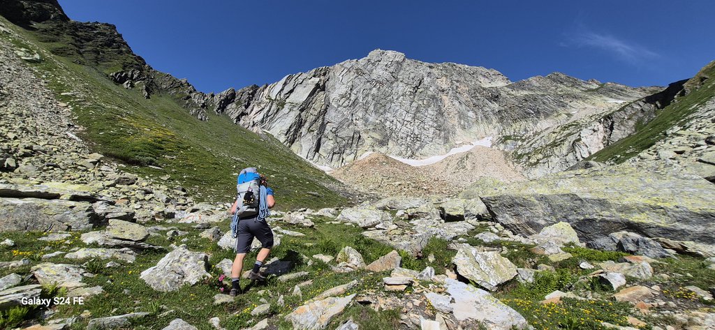
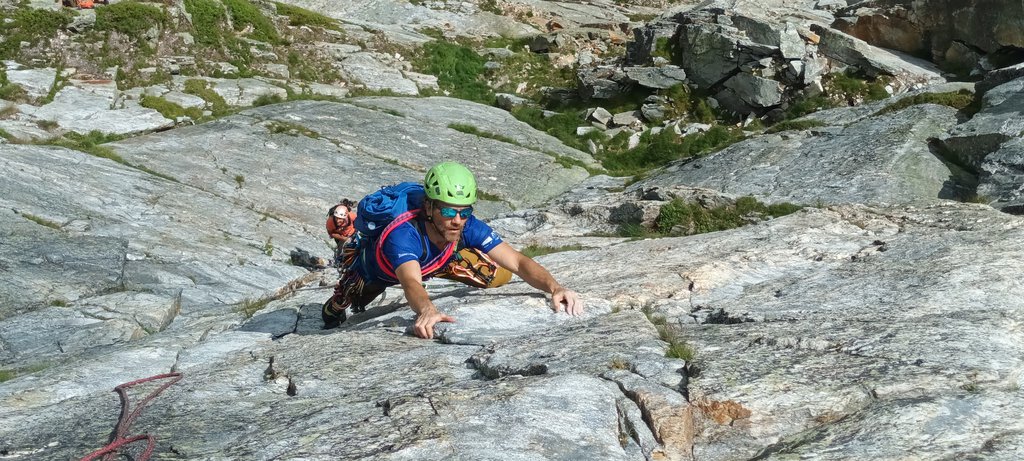
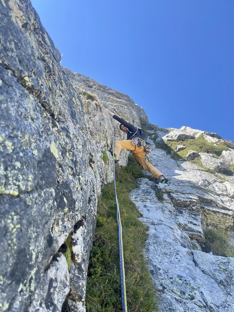
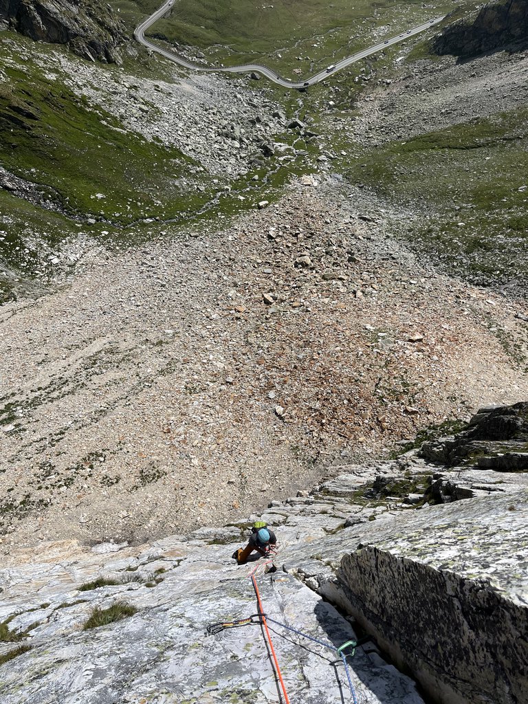
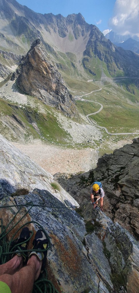
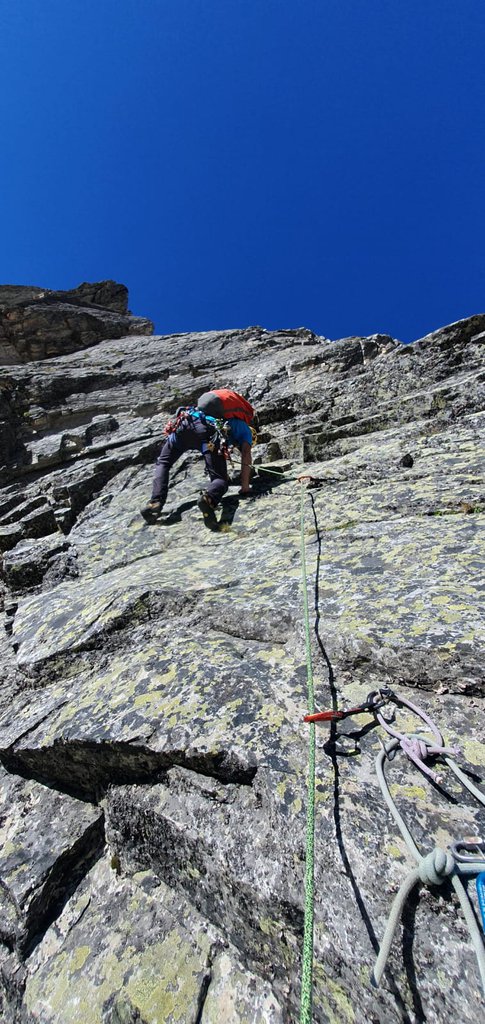
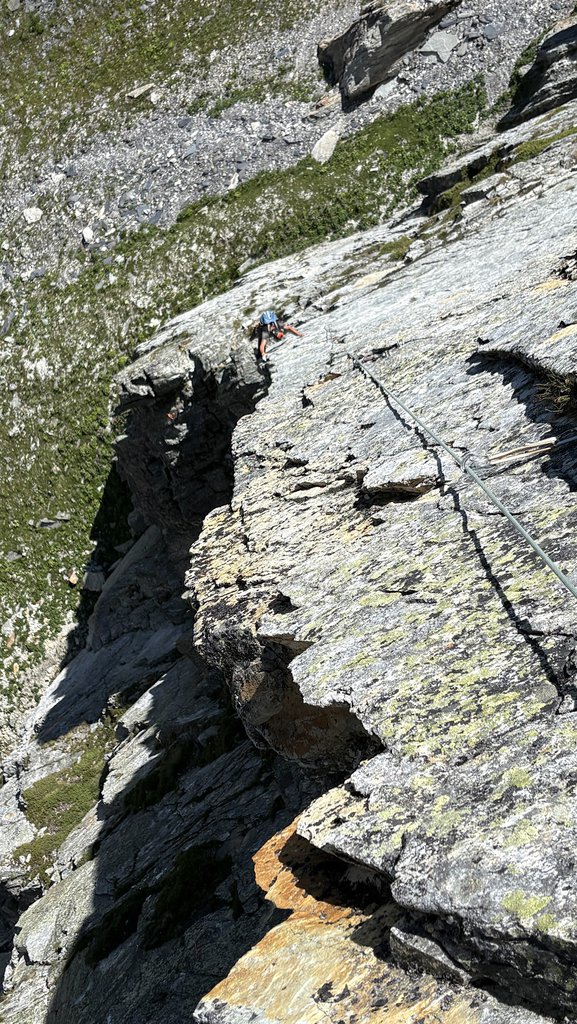
Rock climbing at Pain de Sucre - Anticima 2750 m Parete E/NE, Anticima 2796 m Parete E/NE, Anticima 2796 m parere E/NE in Aosta Valley, Italy — 7 routes, 2 sectors, grades French 6a+–7a+. Grades, topo links and photos on the PeakVisor hiking map.
Show more
Climbing
7 routes6a+–7a+ Fr2 sectorsNE
Pain de Sucre – Anticima 2750 m Parete E/NE
4 routes · 6a+–6c Fr · NE
La Banda degli Onesti6a+ (obl. 6a) · 250 m · NE Bella via che integra le possibilità di una zona che sta crescendo dal punto di vista dell'arrampicata. La parete dove si svolge la via è costituita da quarzite quasi sempre di ottima qualità. La conformazione della… gulliver.it ↗
Peine de Sucre6c (obl. 6b) · 280 m · NE Via su roccia quarzitica, nel complesso molto bella e compatta, a tratti lavorata in superficie, in maniera incredibile, quasi scultorea. Rispetto alla sua sorella di destra risulta più difficile, anche se gli spit sono… gulliver.it ↗
Road to Gabella6b (obl. 6a+) · 250 m · NE Via che offre un arrampicata varia su placche, muretti e diedri. Un’altra possibilità di arrampicare al fresco sulla parete. La roccia è quasi ovunque buona ma occorre fare attenzione a cosa si tira sulle due ultime… gulliver.it ↗
Free Free Palestine6b+ (obl. 6a+) · 250 m · NE Via che offre un arrampicata varia su placche tecniche, muretti, fessure e diedri. Nove tiri che necessitano di posizionare protezioni veloci laddove non sono presenti gli spit. Il tracciato è caratterizzato da una… gulliver.it ↗
Pain de Sucre – Anticima 2796 m Parete E/NE
2 routes · 6b+–6c Fr · NE
Tranta Pürghi6b+ (obl. 6a+) · 220 m · NE Via piuttosto varia su roccia quarzitica quasi sempre ottima, con difficoltà omogenee. Il canale che interrompe la via a metà aggiunge un sapore alpinistico alla salita. Esso è a fondo detritico e richiede un minimo di… gulliver.it ↗
Occhi Rossi a Colazione6c (obl. 6b+) · 230 m · NE Via nel complesso impegnativa e continua, varia nello stile, alternando passaggi tecnici e delicati ad alcune sezioni più atletiche. La roccia è la solita quarzite del Pain de Sucre, in generale molto buona, ma non… gulliver.it ↗
Other routes
1 route · NE
Diamonds and Rust7a+ (obl. 6c) · 240 m · NE Materiale Corde da 60 m, 12 rinvii, casco, eventualmente due friend piccoli. In posto: tasselli e placchette inox Kinobi M10, soste con anello di calata. Sul lato sinistro della parete del Pain de Sucre un evidente… gulliver.it ↗
We use GPS information embedded into the photo when it is available.
3D mountains overlay
Adjust mountain panorama to perfectly match your photos because recorded by camera photo position might be imprecise.
Move tool
Rotate tool
Zoom
More customization
Choose which peak labels should make into the final photo and what photo title should be.
Next
Photo Location
Coordinates work here too — paste them as 69.72728, 20.61890 and press Enter
Satellitte
Flat map
Relief map
Latitude
Longitude
Altitude
OR
Latitude
°'''
Longitude
°'''
Apply
Register Peak
Peak Name
Latitude
Longitude
Altitude
Register
Teleport
PeakVisor
This 3D model of Sagarmatha National Park in Nepal was made using the PeakVisor app topographic data. The mobile app features higher precision models worldwide, more topographic details, and works offline. Download PeakVisor maps today.
Download OBJ model
PeakVisor
The download should start shortly. If you find it useful please consider supporting the PeakVisor app.
PeakVisor for iOS and Android
Be a superhero of outdoor navigation with state-of-the-art 3D maps and mountain identification in the palm of your hand!