Rock climbing at Monte Mars - Mont Mars in Aosta Valley, Italy — 3 routes, grades French 5b–6b+. Grades, topo links and photos on the PeakVisor hiking map.
Show more
Climbing
3 routes5b–6b+ Fr1 sectorNW
Monte Mars
2 routes · 5b–5c Fr · SW–NW
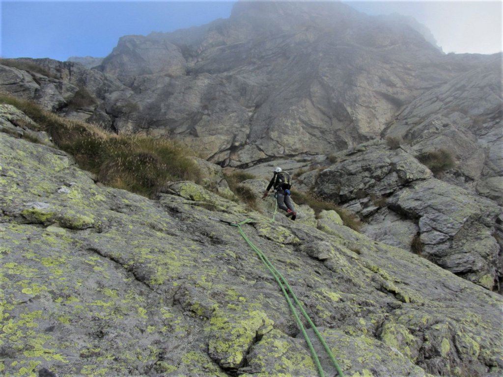
Per Cesare5c (obl. 4) · 300 m · SW Simpatica via di montagna che supera una serie di balze rocciose inframmezzate da cenge erbose che interrompono la continuità dell' arrampicata ma ci stanno benissimo nel contesto generale; spittatura non sempre… gulliver.it ↗
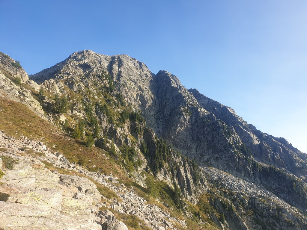
Ai Arete dou Goullias5b · 350 m · NW L'avvicinamento è abbastanza lungo (3h dal Pian Coumarial) dato il lungo tratto su pietraia, come pure la discesa dalla cima del Mars su sentiero 2D. La via complessivamente richiede 3-5 ore. A fine settembre il… gulliver.it ↗
Other routes
1 route · NW
Corinna (direttissima parete Ovest)6b+ (obl. 5b) · a0 · 450 m · NW Attacco tutto a destra della parete, sulla lingua di roccia più bassa si dovrebbero scorgere, in alto, gli spit. Bella via con alcune lunghezze non banali ma di soddisfazione su roccia lavorata di pregevole fattura… gulliver.it ↗
We use GPS information embedded into the photo when it is available.
3D mountains overlay
Adjust mountain panorama to perfectly match your photos because recorded by camera photo position might be imprecise.
Move tool
Rotate tool
Zoom
More customization
Choose which peak labels should make into the final photo and what photo title should be.
Next
Photo Location
Coordinates work here too — paste them as 69.72728, 20.61890 and press Enter
Satellitte
Flat map
Relief map
Latitude
Longitude
Altitude
OR
Latitude
°'''
Longitude
°'''
Apply
Register Peak
Peak Name
Latitude
Longitude
Altitude
Register
Teleport
PeakVisor
This 3D model of Sagarmatha National Park in Nepal was made using the PeakVisor app topographic data. The mobile app features higher precision models worldwide, more topographic details, and works offline. Download PeakVisor maps today.
Download OBJ model
PeakVisor
The download should start shortly. If you find it useful please consider supporting the PeakVisor app.
PeakVisor for iOS and Android
Be a superhero of outdoor navigation with state-of-the-art 3D maps and mountain identification in the palm of your hand!