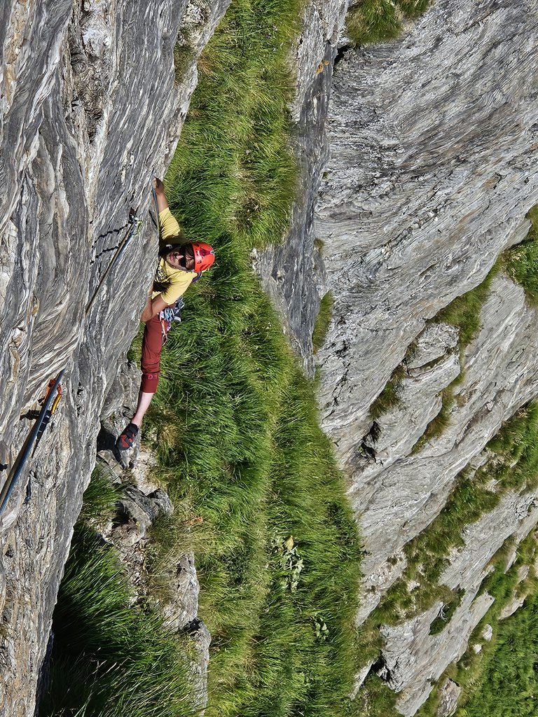
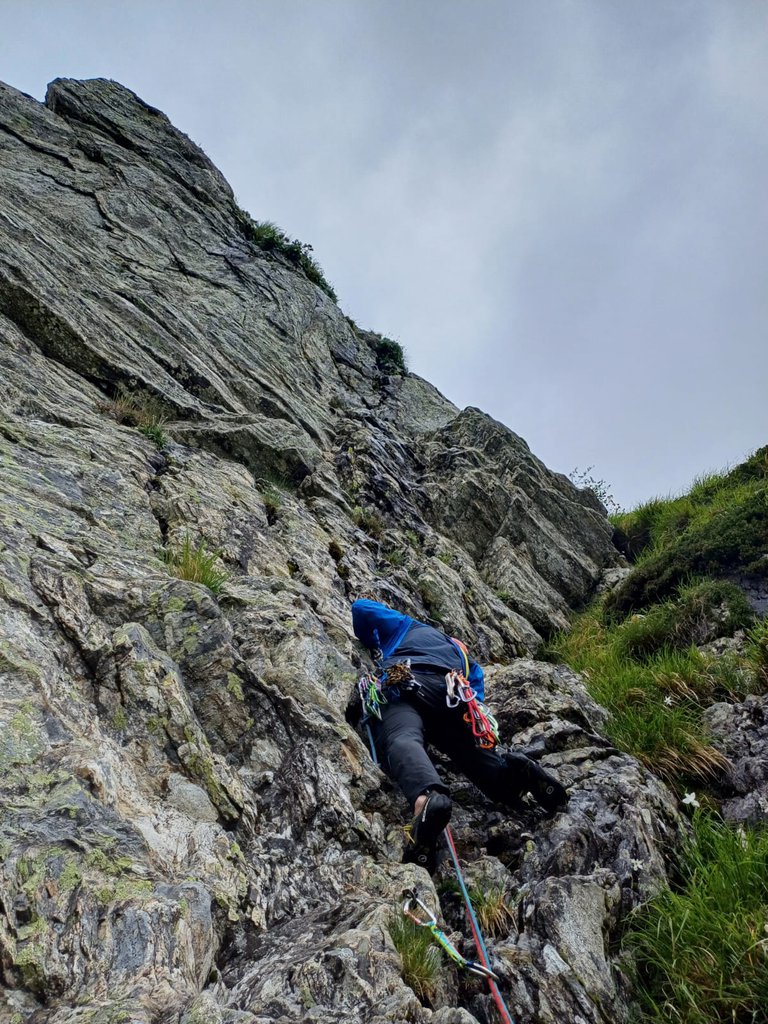
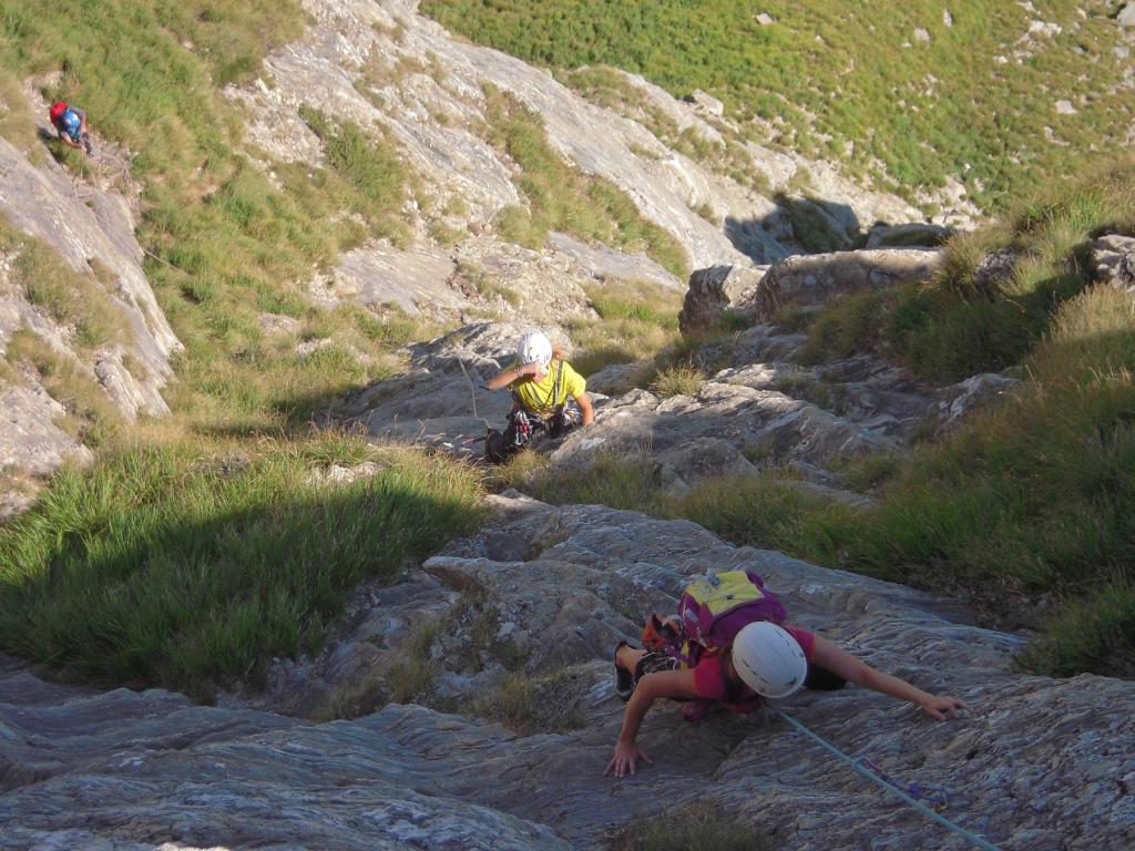
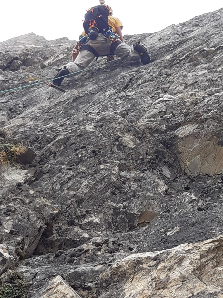
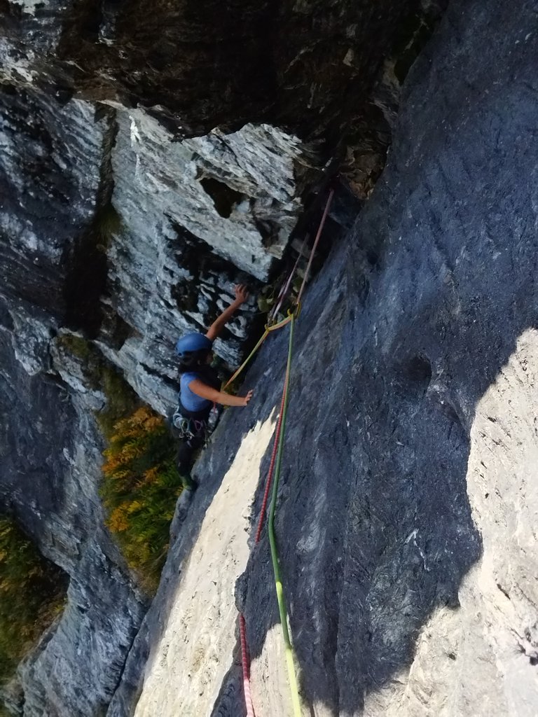
Rock climbing at Monte Cavallo in Tuscany, Italy — 7 routes, grades French 5c–7a+. Grades, topo links and photos on the PeakVisor hiking map.
Show more
Climbing
7 routes5c–7a+ FrNE
Monte Cavallo
7 routes · NE–SE
Gli Smemorati6a (obl. 5c) · 250 m · NE Materiale: 2 mezze corde da 60m, 14-16 rinvii. Via ottimamente attrezzata, fin troppo nei tiri più impegnativi Dal parcheggio in Val Serenaia, si segue il sentiero CAI per Foce del Cardeto, raggiunta la quale, si scende… gulliver.it ↗
Arte e Maniera6a+ · 200 m · NE Accesso: dal parcheggio del campeggio della Val Serenaia raggiungere per sentiero n°178 la Foce del Cardeto. Proseguire con sentiero n°179 fino ad oltrepassare il Canal Cambron. L'attacco si trova sulle ripide e lisce… gulliver.it ↗
Via dei Cherubini5c · 220 m · NE Da Orto di Donna, si raggiunge per sentiero la foce di Cardeto. Si segue poi in discesa il sentiero fino a prendere il bivio a destra che conduce al passo della Focolaccia (sentiero n°179). Si segue il sentiero fin… gulliver.it ↗
Via dei Cherubini, uscita diretta7a+ (obl. 6c) · 250 m · NE Via molto bella ma di notevole impegno negli ultimi 2 tiri perché vince direttamente la bella parete terminale ma per Apuanisti esperti che non si fanno troppi problemi a scalare su roccia poco compatta. Materiale: 16… gulliver.it ↗
Grande Uccello Giallo5c (obl. 5b) · 100 m · NE Ottima via per iniziare ad usare le protezioni veloci R2 ed RS1 nel tratto in comune con la via Orazio Materiale: Serie di Friend fino a 3 (camalot) e nuts Come per le altre vie al Monte Cavallo, si segue la strada di… gulliver.it ↗
Lovebole + Uovo di Colombo6b+ (obl. 5b) · 210 m · NE Bella combinazione di due vie che permette di visitare diverse vallate, anche lato mare. Se si attacca entro le dieci la via sul grondilice uovo di colombo, si scala al fresco anche in estate(esposizione ovest).mentre… gulliver.it ↗
Via dell’Architetto6b+ (obl. 6a) · 120 m · SE Da Gorfigliano con un 4x4 si può percorrere la strada di cava sino a portarsi in alto sotto il versante Est del Monte Cavallo. Lungo la strada si incontra una sbarra che il sabato viene chiusa alle ore 12.00. Prima… gulliver.it ↗
We use GPS information embedded into the photo when it is available.
3D mountains overlay
Adjust mountain panorama to perfectly match your photos because recorded by camera photo position might be imprecise.
Move tool
Rotate tool
Zoom
More customization
Choose which peak labels should make into the final photo and what photo title should be.
Next
Photo Location
Coordinates work here too — paste them as 69.72728, 20.61890 and press Enter
Satellitte
Flat map
Relief map
Latitude
Longitude
Altitude
OR
Latitude
°'''
Longitude
°'''
Apply
Register Peak
Peak Name
Latitude
Longitude
Altitude
Register
Teleport
PeakVisor
This 3D model of Sagarmatha National Park in Nepal was made using the PeakVisor app topographic data. The mobile app features higher precision models worldwide, more topographic details, and works offline. Download PeakVisor maps today.
Download OBJ model
PeakVisor
The download should start shortly. If you find it useful please consider supporting the PeakVisor app.
PeakVisor for iOS and Android
Be a superhero of outdoor navigation with state-of-the-art 3D maps and mountain identification in the palm of your hand!