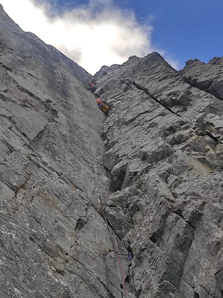
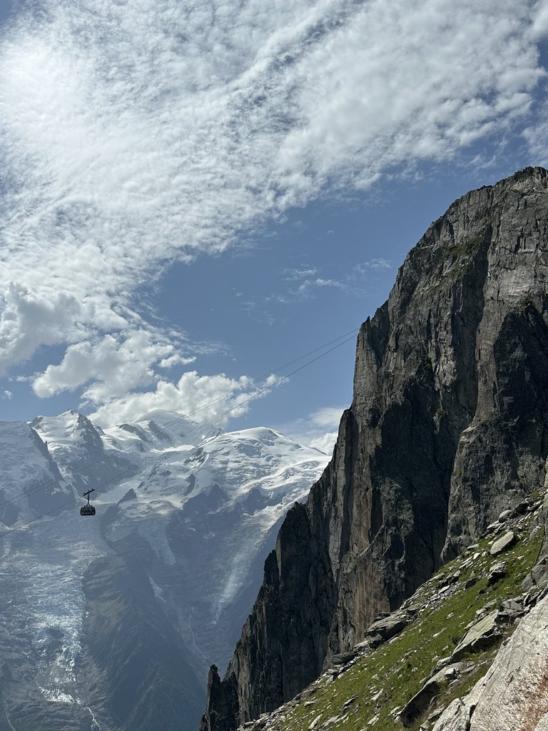
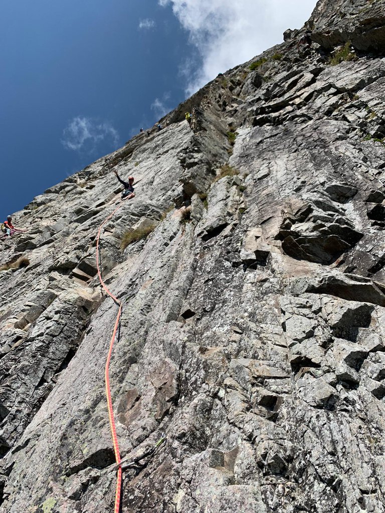
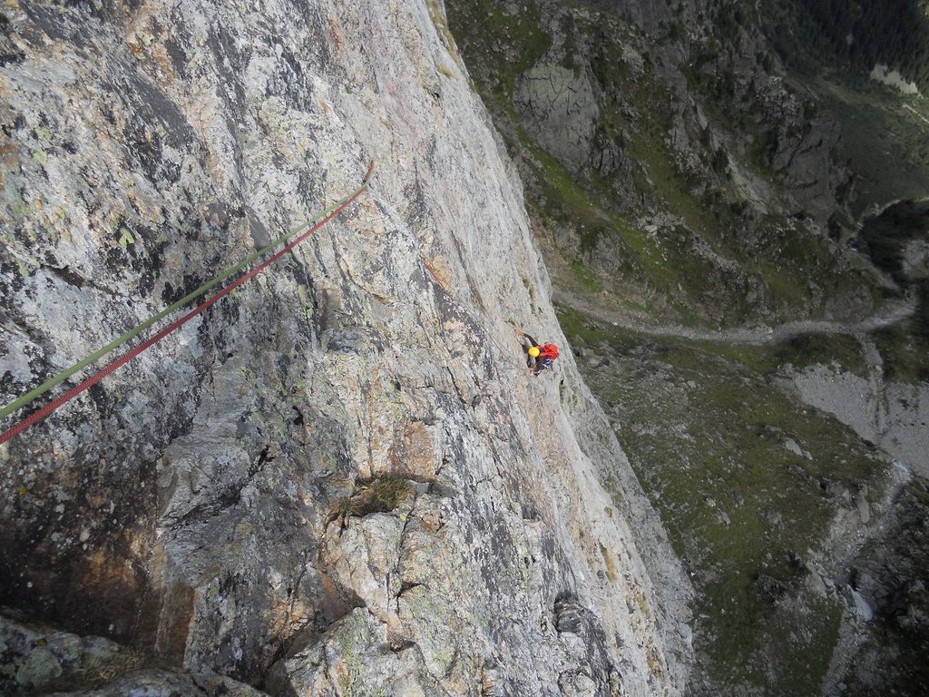
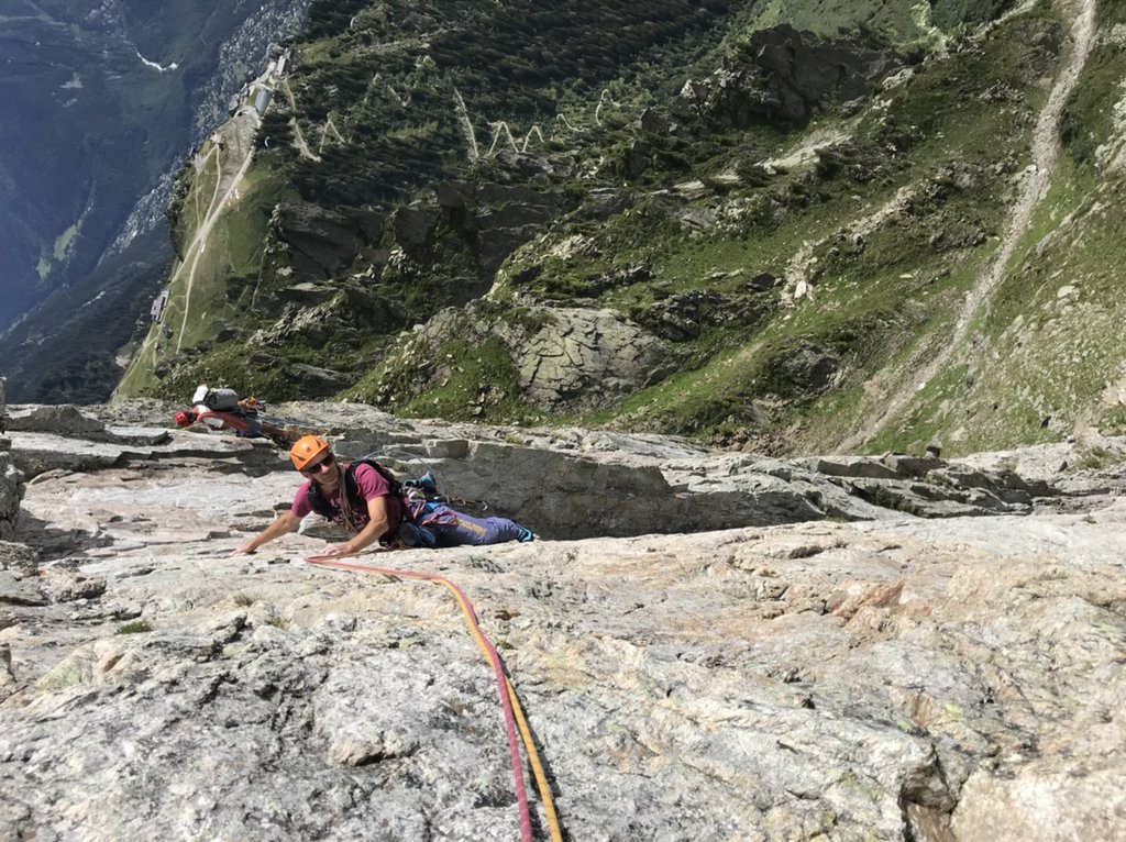
Rock climbing at Le Brévent - Le Brévent Poéme a Lou in Auvergne-Rhône-Alpes, France — 8 routes, grades French 6a–6c. Grades, topo links and photos on the PeakVisor hiking map.
Show more
Climbing
8 routes6a–6c Fr1 sectorSW
Le Brévent
5 routes · 6a–6c Fr · E–SW
Ex Libris6b (obl. 6a) · 200 m · E Via superba lungo una linea di diedri rettilinei. Nessuno spit in posto al di fuori delle soste. Larga scelta di dadi e friends fino al 4 con piccoli e medi doppi. Dalla stazione superiore della funivia del Brévent… gulliver.it ↗
Frizon Roche6a (obl. 5c) · 200 m · SW Bella e atletica arrampicata a 10 minuti dalla stazione alta della funivia; la via è stata interamente riattrezzata dalle guide di chamonix e da loro utilizzata nelle giornate di tempo incerto. Dalla funivia prendere la… gulliver.it ↗
Nouvelle voie Piola 20196c (obl. 6a+) · 230 m · S Attenzione a non far cadere sassi nel canale. Prendere funivia Brevent e poi scendere sentiero verso Planpraz fino a ometti e scendere con attenzione nel canale sotto i cavi funivia. Si veda anche La Fin de Babilone… gulliver.it ↗
La Fin de Babylone6c (obl. 6b) · 200 m · SW meglio non scendere in doppie. si incastrano. poi non e attrezzata per questo. mancano l'ultima sosta e alcuni maillon. dall uscita (1 metro da poeme..) in 5 min si risale alla funivia (sentierino) dall arrivo della… gulliver.it ↗
La piste oubliée6b (obl. 6a+) · 170 m · SE Bella salita in placca con chiodatura molto spaziata; 12 rinvii e l'attrezzatura personale sono sufficienti per affrontarla; ancora qualche scaglia mobile vista la relativamente recente apertura. Giunti in cima in 5… gulliver.it ↗
Other routes
3 routes · S
La Frison Roche5c 6a · 220 m
La Frison Roche5c 6a · 220 m
Brévent (Le) Poéme a Lou6b+ (obl. 6a+) · 200 m · S Via molto bella e sostenuta che propone tiri molto lunghi aperta nel 2003 da K. e F. Pallandre; la chiodatura non scontata ne fa un itinerario molto ambito, anche se relativamente breve (attrezzatura personale, 14… gulliver.it ↗
We use GPS information embedded into the photo when it is available.
3D mountains overlay
Adjust mountain panorama to perfectly match your photos because recorded by camera photo position might be imprecise.
Move tool
Rotate tool
Zoom
More customization
Choose which peak labels should make into the final photo and what photo title should be.
Next
Photo Location
Coordinates work here too — paste them as 69.72728, 20.61890 and press Enter
Satellitte
Flat map
Relief map
Latitude
Longitude
Altitude
OR
Latitude
°'''
Longitude
°'''
Apply
Register Peak
Peak Name
Latitude
Longitude
Altitude
Register
Teleport
PeakVisor
This 3D model of Sagarmatha National Park in Nepal was made using the PeakVisor app topographic data. The mobile app features higher precision models worldwide, more topographic details, and works offline. Download PeakVisor maps today.
Download OBJ model
PeakVisor
The download should start shortly. If you find it useful please consider supporting the PeakVisor app.
PeakVisor for iOS and Android
Be a superhero of outdoor navigation with state-of-the-art 3D maps and mountain identification in the palm of your hand!