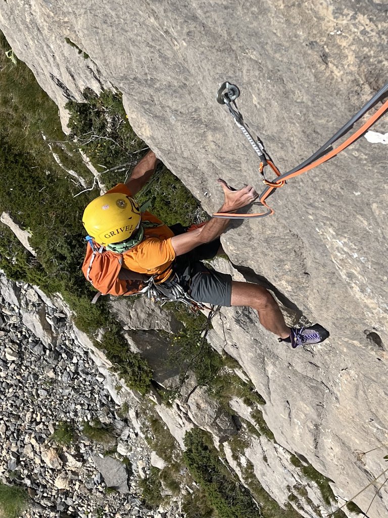
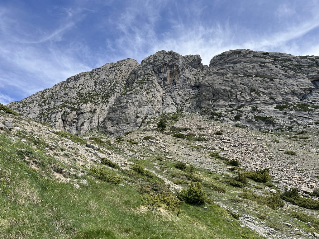
C’est Bien pour Adrien6a (obl. 5c) · 310 m · N La via vera e propria finisce alla S5, ma si piò proseguire verso la cima dopo un collegamento facile ma delicato, seguendo le ultime due lunghezze della vicina e parallela via Les péripéties des apprentis (R. e J.P… gulliver.it ↗
Que Fait la Peau Lisse?5c · 280 m · SW La spittatura è piuttosto lunga ed i passaggi obbligati. Occhio ai gradi! Qui vengono riportati come da relazione francese, ma possono risultare stretti! Le soste sono tutte con due spit da unire. Si segue il sentiero… gulliver.it ↗
Les Rides a Roberte5a · 250 m · SW avvicinamento: si segue il sentiero con l’indicazione del colle de serenne dopo poco più di 500 m di disl di salita ripida si arriva a un prato quasi pianeggiante, cosparso di massi un 100 m prima della capanna sotto la… gulliver.it ↗
Les Pèripèties des Apprentis6a (obl. 5c) · 300 m · SW Parete molto interessante dove vi sono alcune vie (attualmente 8) di più lunghezze, le difficoltà non sono superiori al 6a, alcune vie sono adatte ai principianti e la roccia è un calcare ottimo. Luogo non molto… gulliver.it ↗
We use GPS information embedded into the photo when it is available.
3D mountains overlay
Adjust mountain panorama to perfectly match your photos because recorded by camera photo position might be imprecise.
Move tool
Rotate tool
Zoom
More customization
Choose which peak labels should make into the final photo and what photo title should be.
Next
Photo Location
Coordinates work here too — paste them as 69.72728, 20.61890 and press Enter
Satellitte
Flat map
Relief map
Latitude
Longitude
Altitude
OR
Latitude
°'''
Longitude
°'''
Apply
Register Peak
Peak Name
Latitude
Longitude
Altitude
Register
Teleport
PeakVisor
This 3D model of Sagarmatha National Park in Nepal was made using the PeakVisor app topographic data. The mobile app features higher precision models worldwide, more topographic details, and works offline. Download PeakVisor maps today.
Download OBJ model
PeakVisor
The download should start shortly. If you find it useful please consider supporting the PeakVisor app.
PeakVisor for iOS and Android
Be a superhero of outdoor navigation with state-of-the-art 3D maps and mountain identification in the palm of your hand!