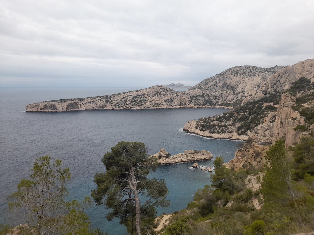
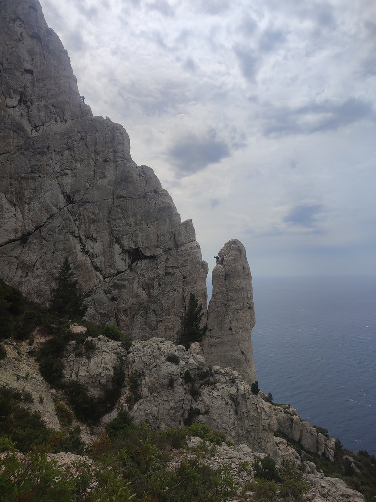
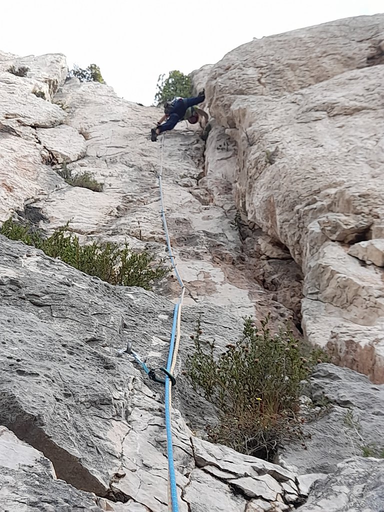
Rock climbing at La Grande Candelle - Candelle, (Pas) in Provence-Alpes-Côte d'Azur, France — 11 routes, 5 sectors, grades French 5b–6c. Grades, topo links and photos on the PeakVisor hiking map.
Show more
Climbing
11 routes5b–6c Fr5 sectorsS
Candelle
2 routes
Secteur Corniches David
La Centrale
La Grande Candelle
2 routes
Secteur Dalle des Suisses
Secteur Muraille Mark
(Pas)
2 routes
La Grande Tour de la Lèque
Armata
Calanque de Sugiton – Le socle e la Grande Chandelle
3 routes · 6a–6a+ Fr · S–SW
Via Gutemberg + La Chamineé Buoisson6a+ (obl. 6a) · 270 m · S Sia lo zoccolo che la bastionata della Gande Candelle contano innumerevoli via, tutte di pregevole fattura. Si prestano pertanto a molteplici concatenamenti per arrivare in cima alla Grande Candelle. Abbiamo scelto… gulliver.it ↗
Le Socle de la Candelle + settore Temp + La Civa6a (obl. 5c) · 170 m · SW Sostenuta e continua nelle difficoltà 5c/6a. Divenuta una classica della parete insieme alla vicina Le Tempe, presenta in diversi passaggi una roccia abbastanza patinata. Se si decide di proseguire sino in cima su Le… gulliver.it ↗
Gutemberg + Arete de Marseille6a+ (obl. 6a) · 360 m · S Combinazione bellissima e consigliata per percorrere il massiccio de la Candelle fino in cima. Contare circa 160m. per la prima via, poi spostamento a piedi di 5-10 min., poi altri 200 m. per la mitica pinna de la… gulliver.it ↗
Calanque de Sugiton – La Grande Candelle
2 routes · 5b–6c Fr · SE
Arete de Marseille5bVia in cresta, splendida cresta sul mare. In alcuni punti con roccia molto levigata. Portare acqua a sufficienza. La rete mobile in questa parte di Calanques non prende. Partire dalla sbarra di Luminy, dopo circa 25' si… gulliver.it ↗
Armata Calanca6c (obl. 6a+) · 350 m · SE La via è devisa in 3 parti collegate da brevi cengie, ben attrezzata a fittoni resinati. Sufficienti 14 rinvii e materiale per attrezzare le soste Dal parcheggio di Luminy imboccare il sentiero n°6 contrassegnato da… gulliver.it ↗
We use GPS information embedded into the photo when it is available.
3D mountains overlay
Adjust mountain panorama to perfectly match your photos because recorded by camera photo position might be imprecise.
Move tool
Rotate tool
Zoom
More customization
Choose which peak labels should make into the final photo and what photo title should be.
Next
Photo Location
Coordinates work here too — paste them as 69.72728, 20.61890 and press Enter
Satellitte
Flat map
Relief map
Latitude
Longitude
Altitude
OR
Latitude
°'''
Longitude
°'''
Apply
Register Peak
Peak Name
Latitude
Longitude
Altitude
Register
Teleport
PeakVisor
This 3D model of Sagarmatha National Park in Nepal was made using the PeakVisor app topographic data. The mobile app features higher precision models worldwide, more topographic details, and works offline. Download PeakVisor maps today.
Download OBJ model
PeakVisor
The download should start shortly. If you find it useful please consider supporting the PeakVisor app.
PeakVisor for iOS and Android
Be a superhero of outdoor navigation with state-of-the-art 3D maps and mountain identification in the palm of your hand!