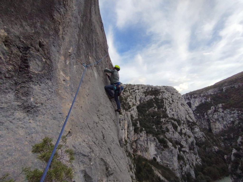
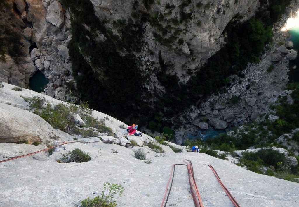
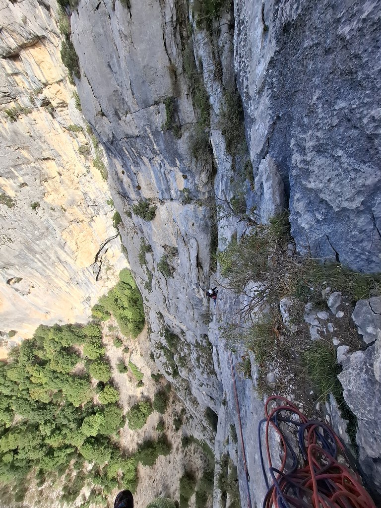
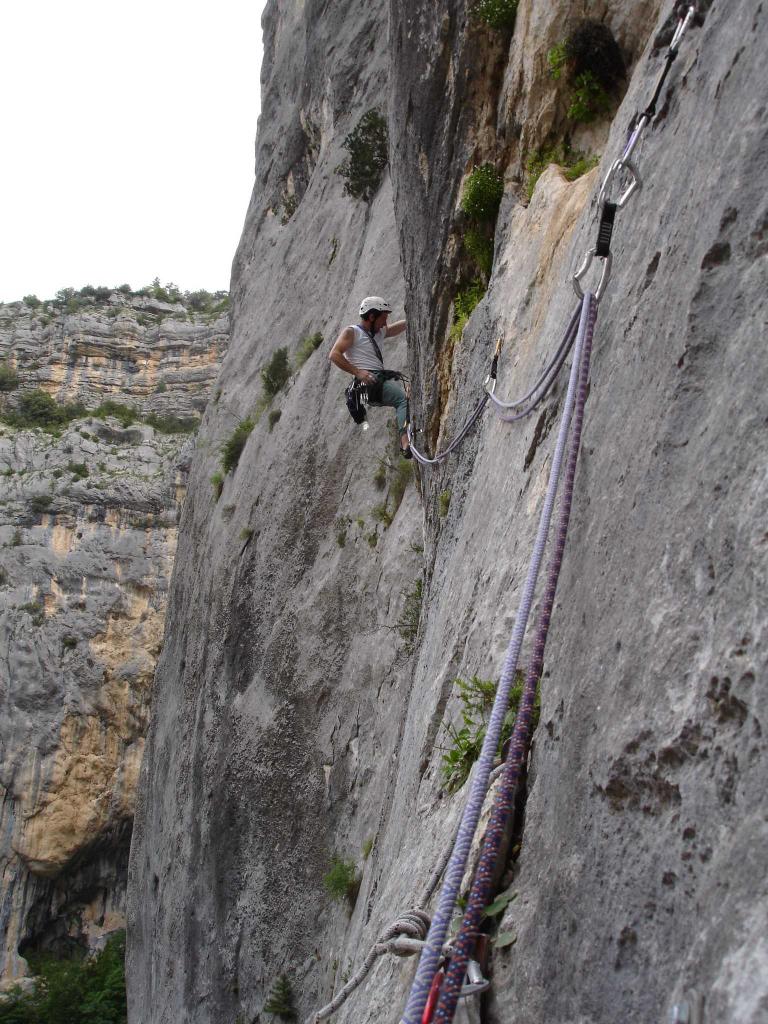
Rock climbing at Gorges du Verdon – Imbut in Provence-Alpes-Côte d'Azur, France — 8 routes, grades French 6a+–7b. Grades, topo links and photos on the PeakVisor hiking map.
Show more
Climbing
8 routes6a+–7b FrS
Gorges du Verdon – Imbut
8 routes · N–W
Les Mains Dans le Sel7a (obl. 6b) · 270 m · SE La via prende il sole verso le 11, consigliata in estate in giornate nuvolose..ma senza temporali.. Accesso: molto suggestivo, ma un pò complesso, calcolare almeno 1 ora. Dal belvedere du Maugue, scendere verso il… gulliver.it ↗
Ras Lebolchoi6c (obl. 6b) · 180 m · N Calate: andare al belvedere sopra l'Imbut, reperire un sentierino che travesa scendendo leggermente (direzione SX faccia alla parete), passare sopra ad una piccola pietraia, ad un certo punto trovere un ometto… gulliver.it ↗
Liberté Surveillée6b+ (obl. 6a+) · 160 m · W Essa si trova tra le doppie dell'Arcanson e la via Ras le Bolchoi. Parte proprio ai piedi delle doppie su due spit dorati. La via è ben spittata e la roccia stupenda. Per reperire le doppie, dal Belvedere du Mauguè… gulliver.it ↗
Hold up Mental7b (obl. 6b+) · 160 m · W Via stupenda, personalmente una delle più belle percorse: muri tecnici verdoniani, su roccia eccellente; fatta l’anno scorso, ma la posto ora per suggerirne la ripetizione, in un momento in cui in Verdon è sempre più… gulliver.it ↗
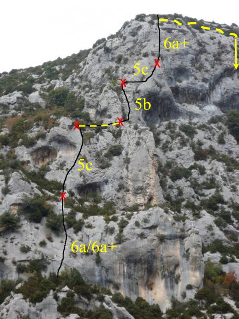
THT6a+ (obl. 5c) · 150 m · S Via omogenea nelle difficoltà. Abbastanza frequentata. Al sole tutto il giorno. Ambiente piacevole ma non certo paragonabile alle gorges. Attrezzatura ottima(P1). Da la Palud, seguire la strada in direzione dello Chalet… gulliver.it ↗
Roumagaou6c (obl. 6a+) · 180 m · S Bellissima via classica nel cuore dell'Imbut, esposizione e ingaggio garantiti!! La via si snoda lungo un sistema di fessure già evidenti dal basso, in un alternarsi di roccia grigia, arancione e rossa... Sulla via sono… gulliver.it ↗
Roumagaou de l’Art et du Cochon7b (obl. 6b+) · 180 m · S dal belvedere du Mauguè (belvedere doppio), prendere il sentiero che conduce ai settori styx herbetto, sentier du Mauguè. Scendere nella gola fino in prossimità del verdon. la parete è ben visibile ed esposta a sud. -il… gulliver.it ↗
Dédale et Fantaisie7a+ (obl. 6c) · N Reperire le calate di Les Caquous, arrivati alla base della parete spostarti verso sx fino a reperire una corda fissa. Dedale e fatasie è una via molto particolare…preparatevi a spettacolari traversi e ad una calata in… gulliver.it ↗
We use GPS information embedded into the photo when it is available.
3D mountains overlay
Adjust mountain panorama to perfectly match your photos because recorded by camera photo position might be imprecise.
Move tool
Rotate tool
Zoom
More customization
Choose which peak labels should make into the final photo and what photo title should be.
Next
Photo Location
Coordinates work here too — paste them as 69.72728, 20.61890 and press Enter
Satellitte
Flat map
Relief map
Latitude
Longitude
Altitude
OR
Latitude
°'''
Longitude
°'''
Apply
Register Peak
Peak Name
Latitude
Longitude
Altitude
Register
Teleport
PeakVisor
This 3D model of Sagarmatha National Park in Nepal was made using the PeakVisor app topographic data. The mobile app features higher precision models worldwide, more topographic details, and works offline. Download PeakVisor maps today.
Download OBJ model
PeakVisor
The download should start shortly. If you find it useful please consider supporting the PeakVisor app.
PeakVisor for iOS and Android
Be a superhero of outdoor navigation with state-of-the-art 3D maps and mountain identification in the palm of your hand!