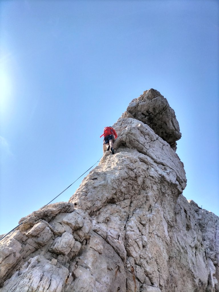
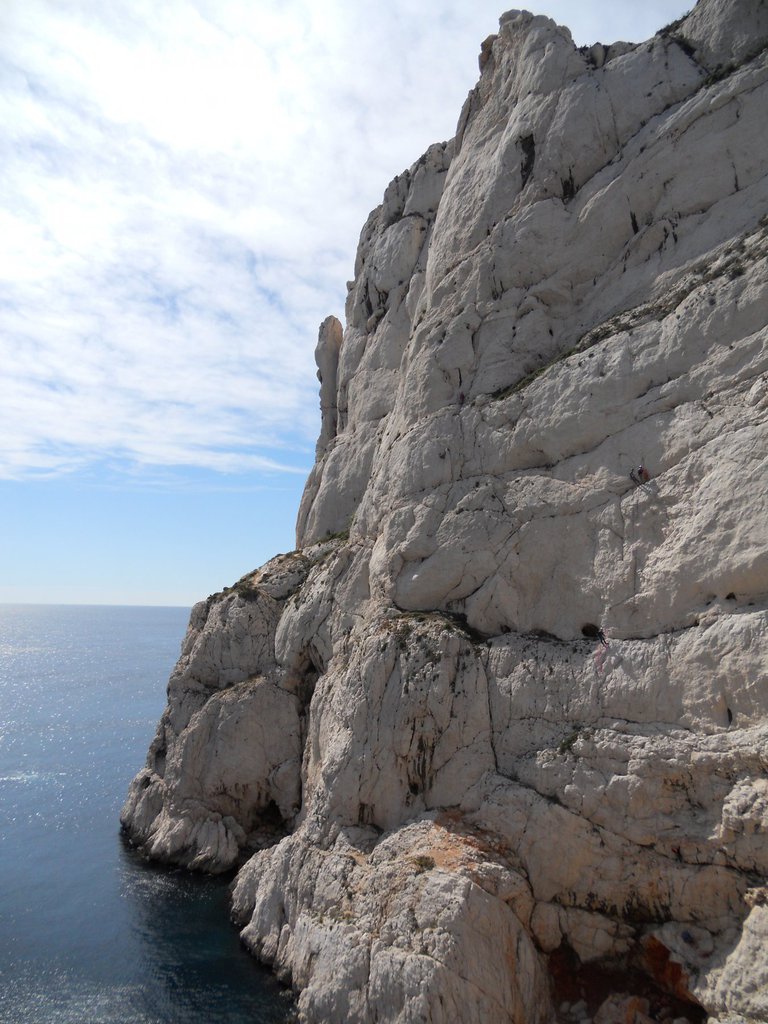
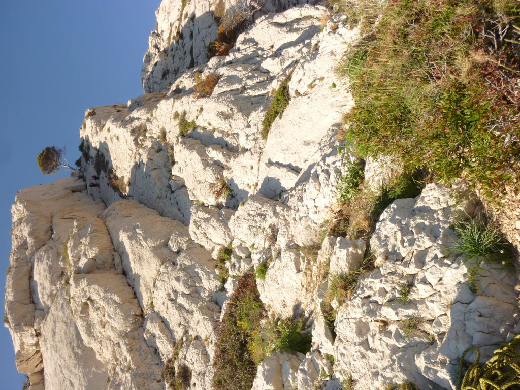
Rock climbing at Falaise Lui d'Ai, Rappel Dark side of the moule/Etron fou/On est toujours trop bon avec les femmes, La Panthère Rose +13 in Provence-Alpes-Côte d'Azur, France — 6 routes, 17 sectors, grades French 4–6a. Grades, topo links and photos on the PeakVisor hiking map.
Show more
Climbing
6 routes4–6a Fr17 sectorsSW
Bec de Sormiou
3 routes · 5a–6a Fr · NE–E
Traversée et Arête de l’Extrême Bec5a (obl. 4)In estate la strada è chiusa e occorre parcheggiare fuori dal parco (senza lasciare nulla in auto) proseguendo a piedi sulla strada asfaltata fino al porticciolo (2,5 km) Dal porticciolo prendere il sentiero che sale… gulliver.it ↗
Antecime5c (obl. 5a) · 150 m · NE
Le Couchant6a (obl. 5c) · 130 m · E Via omogenea e sostenuta nel 5c, con un passaggio delicato nella parte alta e uno più fisico nel finale; più verticale e con più esposizione rispetto alle vicine vie dell'Antecime. Roccia ottima e ambiance strepitosa… gulliver.it ↗
Other routes
3 routes · SE–SW
Versante SW Melody5c · 180 m · SW Dalla spiaggia di Sormiou prendere la traccia nera in direzione del promontorio, passare sotto l'evidente placconata bianca di Spigaou e quindi, al primo cono di sfacsciume, risalire per traccia verso il colle… gulliver.it ↗
Dièdre Guem4 · 80 m · SW Facile via classica in ambiente tranquillo e spettacolare, perfetta per principianti o per chiudere in bellezza la giornata di ritorno da una via del Bec. La via risale l'immenso diedro appoggiato, stando però… gulliver.it ↗
Surmiou (Bec de)- Traversée6a (obl. 5c) · 250 m · SE Via spittata inox, friend medi e piccoli utili ma non indispensabili. Soste su 2 punti da collegare, ad esclusione di quella del camino (sosta di calata). Dal parcheggio di Surmiou (a pagamento 6 €/gg) seguire il… gulliver.it ↗
We use GPS information embedded into the photo when it is available.
3D mountains overlay
Adjust mountain panorama to perfectly match your photos because recorded by camera photo position might be imprecise.
Move tool
Rotate tool
Zoom
More customization
Choose which peak labels should make into the final photo and what photo title should be.
Next
Photo Location
Coordinates work here too — paste them as 69.72728, 20.61890 and press Enter
Satellitte
Flat map
Relief map
Latitude
Longitude
Altitude
OR
Latitude
°'''
Longitude
°'''
Apply
Register Peak
Peak Name
Latitude
Longitude
Altitude
Register
Teleport
PeakVisor
This 3D model of Sagarmatha National Park in Nepal was made using the PeakVisor app topographic data. The mobile app features higher precision models worldwide, more topographic details, and works offline. Download PeakVisor maps today.
Download OBJ model
PeakVisor
The download should start shortly. If you find it useful please consider supporting the PeakVisor app.
PeakVisor for iOS and Android
Be a superhero of outdoor navigation with state-of-the-art 3D maps and mountain identification in the palm of your hand!