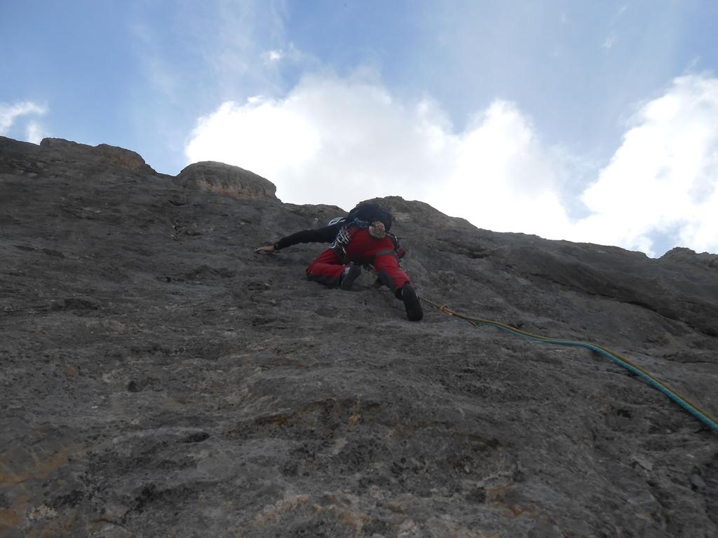
Rock climbing at Cime du Raisin – Versante Est in Provence-Alpes-Côte d'Azur, France — 2 routes, grades French 6a–6b+. Grades, topo links and photos on the PeakVisor hiking map.
Show more
Climbing
2 routes6a–6b+ FrE
Cime du Raisin – Versante Est
2 routes · E–W
Les Mysteres de l’Ouest6a (obl. 5c) · 400 m · W Parete interessante e decisamente meno continua rispetto al suo opposto versante est. Spittatura impeccabile come sempre visto l'autore ma qualità della via nettamente inferiore allo standard "Fiaschi". Meraviglioso… gulliver.it ↗
Direttissima Kempf6b+ (obl. 6a) · 300 m · E 9 tiri di via + 1 della cresta di Raisin per raggiungere la cima. Grande omogeneità nella difficoltà, e tipi di roccia e di situazione di scalata molto vari. Ci sono più fessure rispetto al solito. Attrezzatura con… gulliver.it ↗
We use GPS information embedded into the photo when it is available.
3D mountains overlay
Adjust mountain panorama to perfectly match your photos because recorded by camera photo position might be imprecise.
Move tool
Rotate tool
Zoom
More customization
Choose which peak labels should make into the final photo and what photo title should be.
Next
Photo Location
Coordinates work here too — paste them as 69.72728, 20.61890 and press Enter
Satellitte
Flat map
Relief map
Latitude
Longitude
Altitude
OR
Latitude
°'''
Longitude
°'''
Apply
Register Peak
Peak Name
Latitude
Longitude
Altitude
Register
Teleport
PeakVisor
This 3D model of Sagarmatha National Park in Nepal was made using the PeakVisor app topographic data. The mobile app features higher precision models worldwide, more topographic details, and works offline. Download PeakVisor maps today.
Download OBJ model
PeakVisor
The download should start shortly. If you find it useful please consider supporting the PeakVisor app.
PeakVisor for iOS and Android
Be a superhero of outdoor navigation with state-of-the-art 3D maps and mountain identification in the palm of your hand!