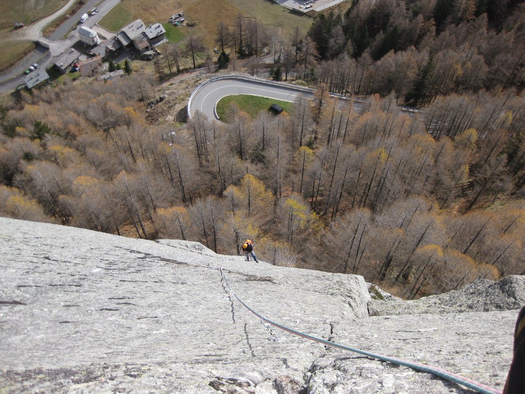
Rock climbing at CALIMERO multipitch in Aosta Valley, Italy — 7 routes, grades French 6a+–7a+. Grades, topo links and photos on the PeakVisor hiking map.
Show more
Climbing
7 routes6a+–7a+ Fr1 sectorSE
Parete Nid des Hirondelles – La Formica
6 routes · 6a+–7a+ Fr · E–S
Roy Rogers6b (obl. 6a) · 200 m · S 8 tiri , placca , fessure su roccia eccellente e lavorata. Lasciare l'auto nell'evidente spiazzo sul secondo tornate della strada che da Valgrisa porta a Bonne. Prendere il sentiero e in 10/15 min alla base e da lì… gulliver.it ↗
Joe Mazza6b+ (obl. 6a) · 150 m · E Attrezzata ottimamente a spit, catene alle soste. E' possibile arrivare in cima alla parete con 2 tiri di 5° congiungendosi alle vie vicine. L1: 6A (diedro, passaggio in strapiombo, muretto appigliato) L2: 6B+ (bella… gulliver.it ↗
Sexy shop6a+ (obl. 5c) · 100 m · SE Sexy shop è in realtà solo una variante di due tiri della via Calimero dalla quale si separa appena dopo la seconda sosta. La chiodatura è a spit mai troppo distanti con soste a catena. Per percorrere la via basta una… gulliver.it ↗
Patty Spit6b+ (obl. 6a) · 90 m · SE Via breve, con chiodatura vecchia. E' possibile continuare fino in cima alla parete per una delle vie lunghe. Lasciata l'auto al tornante prima della diga (piccolo piazzale) inoltrarsi nel bosco su sentiero e dirigersi… gulliver.it ↗
Nanocurie7a+ (obl. 6b+) · 80 m · S 3 tiri: placca verticale, diedro strapiombante, placca tecnica appoggiata. Particolarmente bello il diedro strabiombante del secondo tiro. Lasciare l'auto nello spiazzo a dx sul secondo tornate della strada che da… gulliver.it ↗
Fragola6b (obl. 6a) · 80 m · SE Completamente attrezzata a spit, sostengo con catena e moschettone. Materiale:14 rinvii e 2 mezze da 50 Parcheggiare al secondo tornante tra Valgrisenche e Bonne. Seguire il sentiero che in 5 min porta alla base della… gulliver.it ↗
Other routes
1 route · SE
Nid des Hirondelles – La Formica6a+–7a+ · SE · 6 routes
We use GPS information embedded into the photo when it is available.
3D mountains overlay
Adjust mountain panorama to perfectly match your photos because recorded by camera photo position might be imprecise.
Move tool
Rotate tool
Zoom
More customization
Choose which peak labels should make into the final photo and what photo title should be.
Next
Photo Location
Coordinates work here too — paste them as 69.72728, 20.61890 and press Enter
Satellitte
Flat map
Relief map
Latitude
Longitude
Altitude
OR
Latitude
°'''
Longitude
°'''
Apply
Register Peak
Peak Name
Latitude
Longitude
Altitude
Register
Teleport
PeakVisor
This 3D model of Sagarmatha National Park in Nepal was made using the PeakVisor app topographic data. The mobile app features higher precision models worldwide, more topographic details, and works offline. Download PeakVisor maps today.
Download OBJ model
PeakVisor
The download should start shortly. If you find it useful please consider supporting the PeakVisor app.
PeakVisor for iOS and Android
Be a superhero of outdoor navigation with state-of-the-art 3D maps and mountain identification in the palm of your hand!