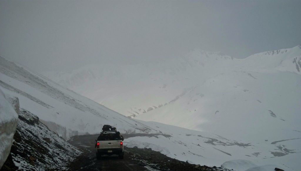
The Burzil Pass (el. 4,100 m (13,500 ft)) (Urdu: درہ برزیل) is a mountain pass in northern Pakistan, and is part of the historic caravan route between the cities of Srinagar and Gilgit. The pass lies approximately 5 kilometres (3.1 mi) north of the administrative line between the Pakistani-administered territories of Gilgit−Baltistan and Azad Jammu and Kashmir, and some 30 kilometres (19 mi) north of the Line of Control (LoC), which serves as the de facto border between Pakistan and India in the disputed region of Kashmir. While the Burzil route ran freely through Jammu and Kashmir during British rule in India, major sections were largely closed off by Pakistan following the First Kashmir War, which saw the division by a ceasefire line of the former princely state and the start of an ongoing territorial conflict over the region. The crest of the pass is wide and covered with lush alpine grass vegetation during the summer. The Astore River originates from the western slopes of the Burzil Pass. It is the oldest-known route connecting Gilgit with Skardu and Srinagar through the Deosai Plateau. Ancient travellers are believed to have extensively crossed the pass by horse. At the beginning of the 20th century, a hut was built on the crest of the pass, where couriers delivered mail and messages from British India to China. The city of Gilgit is located some 367 kilometres (228 mi) from Srinagar by road via the Burzil Pass above the northern banks of Wular Lake and Gurez in the Indian-administered territory of Jammu and Kashmir.
We use GPS information embedded into the photo when it is available.
3D mountains overlay
Adjust mountain panorama to perfectly match your photos because recorded by camera photo position might be imprecise.
Move tool
Rotate tool
Zoom
More customization
Choose which peak labels should make into the final photo and what photo title should be.
Next
Photo Location
Satellitte
Flat map
Relief map
Latitude
Longitude
Altitude
OR
Latitude
°'''
Longitude
°'''
Apply
Register Peak
Peak Name
Latitude
Longitude
Altitude
Register
Teleport
PeakVisor
This 3D model of Sagarmatha National Park in Nepal was made using the PeakVisor app topographic data. The mobile app features higher precision models worldwide, more topographic details, and works offline. Download PeakVisor maps today.
Download OBJ model
PeakVisor
The download should start shortly. If you find it useful please consider supporting the PeakVisor app.
PeakVisor for iOS and Android
Be a superhero of outdoor navigation with state-of-the-art 3D maps and mountain identification in the palm of your hand!