
Scan the QR code and open PeakVisor on your phone
Pakistan is geographically diverse and home to some of the world's tallest and most prominent peaks. K2 (8,611 m / 28,251 ft) in Karakoram is the highest peak in the country, while Nanga Parbat, in the Himalayas, is the most prominent peak (4,608 m / 15,118 ft).
Pakistan is a mountainous South Asian country featuring many diverse landscapes. Portions of the country variably showcase mountains, plateaus, deserts, forests, subtropics, and plains. Pakistan spans 881,913 sq km (340,509 sq miles), making it the 33rd largest nation by area.
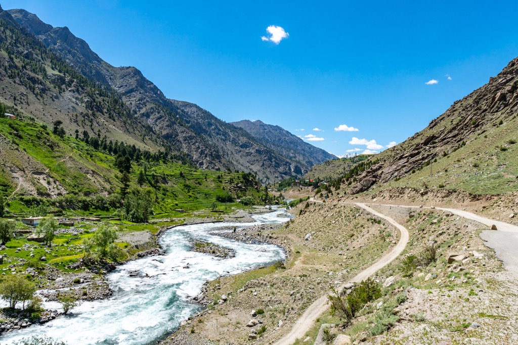
Its southern border features 1,046 km (650 miles) of coastline along the Arabian Sea and the Gulf of Oman. Northern Pakistan has three major mountain ranges: the Karakoram, Hindukush, and Himalayas.
Most of the Karakoram range lies within Pakistan, China, and India. The Hindukush range spans Pakistan and Afghanistan, while the Himalayas extend across Pakistan, Bhutan, China, India, and Nepal.
Pakistan shares numerous land borders, including Afghanistan to the northwest, Iran to the west, Indian to the east, and China to the northeast. The three major geographic regions include the Balochistan Plateau, the Indus River Plain, and the northern highlands.
The Balochistan Plateau marks the eastern edge of the Iranian plateau, encompassing roughly 48% of Pakistan’s land area. The Sulaiman Mountains are situated in the northeastern corner of the plateau, while the Kharan Desert covers land in the southwest. Water scarcity and frequent seismic disturbances have left much of the region sparsely populated.
The Punjab and Sindh are the provinces of the Indus Plain, which surrounds the enormous Indus River. The river’s catchment area spans nearly 1 million sq km (386,102 sq miles), encompassing Pakistan's major waterways, including the Kabul, Chenab, and Jhelum Rivers. The presence of water has allowed various civilizations to flourish for over 5,000 years. The plain, a nearly featureless swath of land, is one of Pakistan’s primary breadbaskets; like the midwest of the U.S., the flat, fertile soil is ideal for agriculture.
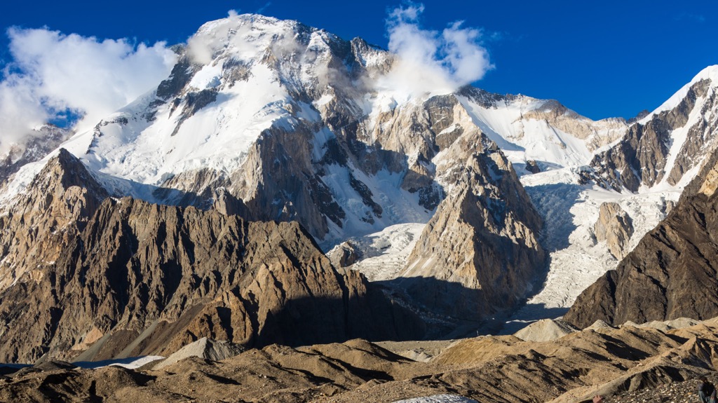
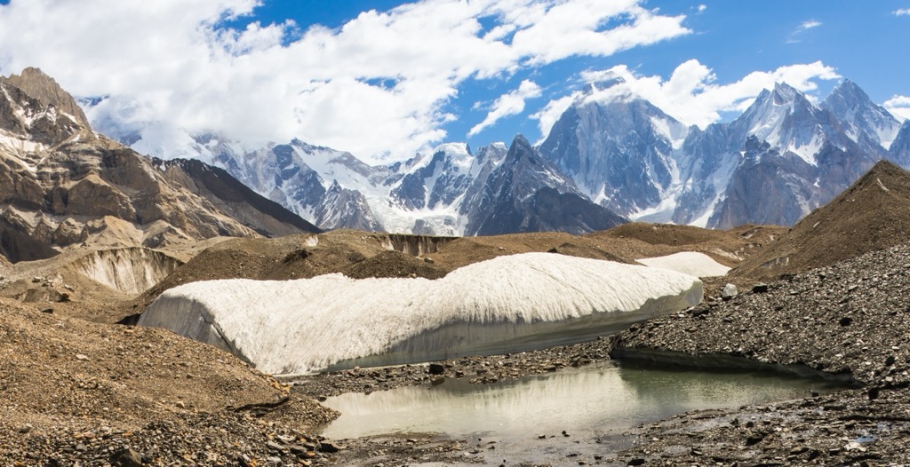
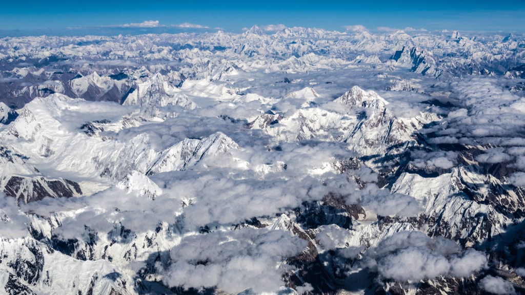
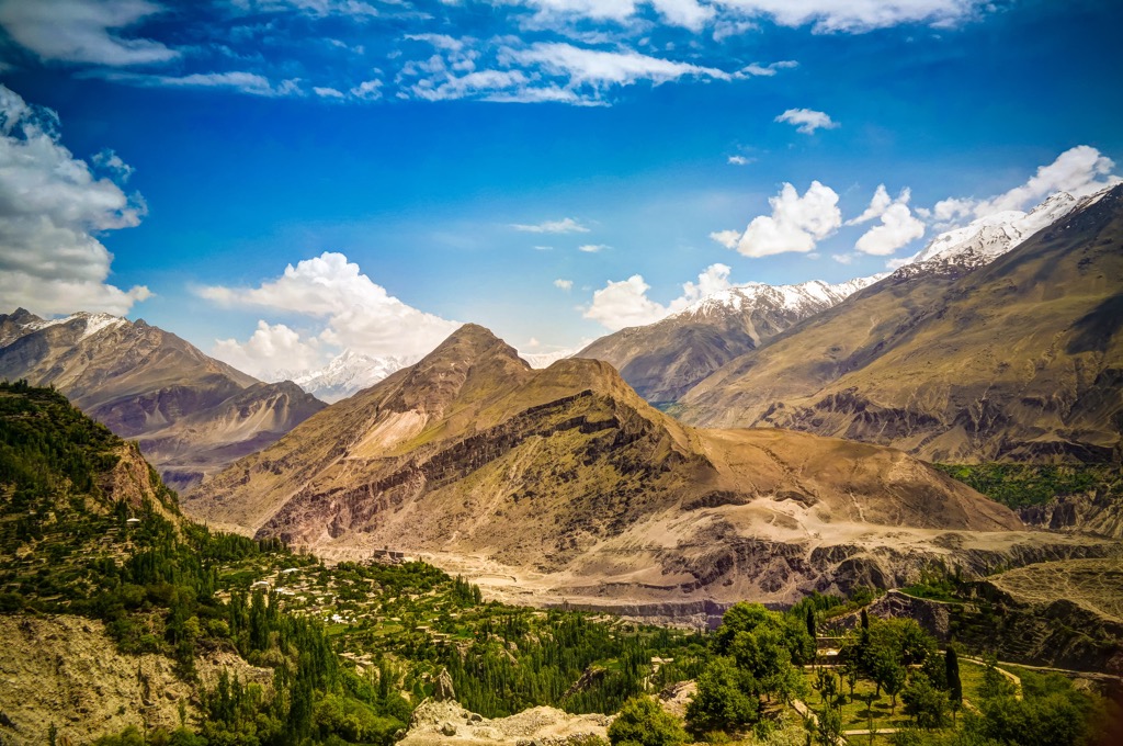
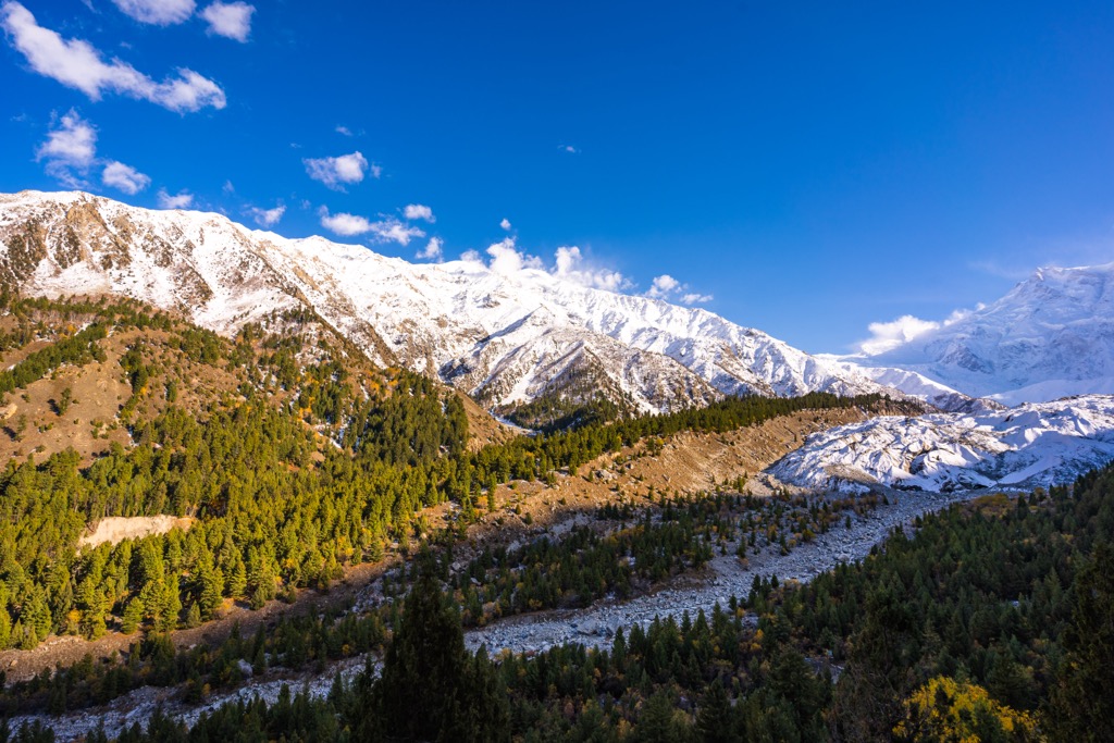
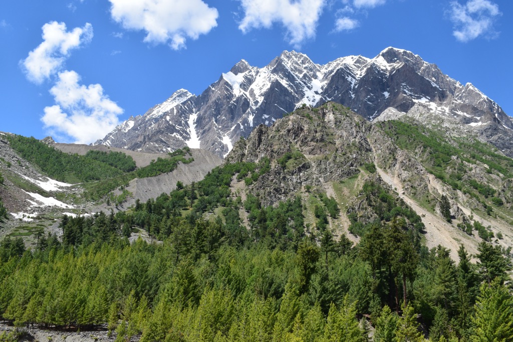
The northern highlands include portions of the Hindukush, Karakoram, and Himalayan ranges. These highlands are home to numerous famous peaks, including K2, part of the Karakoram range. More than fifty peaks tower above 6,500 m. The terrain features several substantial mountain passes connecting Pakistan to surrounding countries.
Pakistan has a unique geological history involving the overlap of the Indian and Eurasian tectonic plates. The provinces of Balochistan and a majority of Khyber Sindh lie on the Eurasian plate, while the provinces of Sindh and Punjab are on the Indian plate.
The overlap of these two tectonic plates has led to sections of Pakistan being prone to earthquakes. The regions of Gilgit-Baltistan and Azad Kashmir mark where the tectonic plates collide, making these areas vulnerable to frequent and often violent quakes.
The collision of the Indian and Eurasian landmasses resulted in the formation of many prominent ranges; the collection of mountain ranges stretching from Western Europe to the Himalayas are collectively known as the Alpide Belt and are the product of this tectonic action. Because these two land masses shared similar rock densities, their collision forced the land upwards instead of subducting one plate under the other, thus creating the Alpide Belt's rugged mountains.
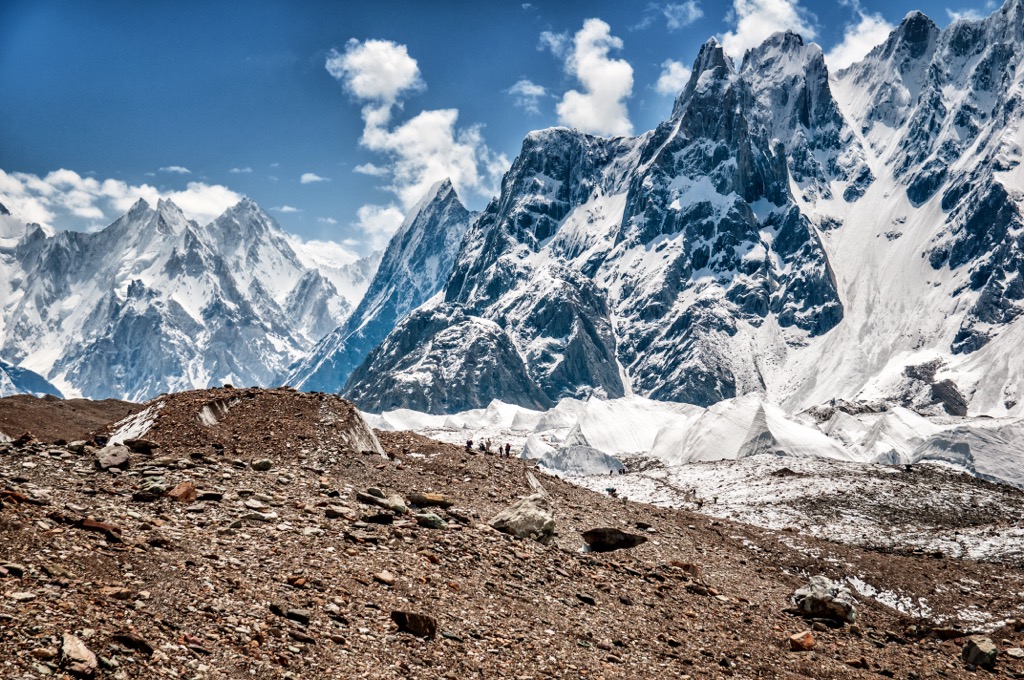
Peaks throughout northern Pakistan formed during the Alpine Orogeny. This major mountain-building event created the ranges within the Alpide belt, including the Alps, Alborz, Hindukush, Karakoram, and the Himalayas. The Alpide Belt’s formation began about 65 million years ago and continues today. The youth of these mountains contributes to their high altitude and jagged character.
Due to the land’s plethora of mineral deposits, mining is an important industry in Pakistan. Minerals include mineral salt, gold, coal, copper, bauxite, chromite, gemstones, and coal.
Significant peaks in Pakistan include K2, Nanga Parbat, Tirich Mir, Batura Sar, Buni Zom, and Rakaposhi.
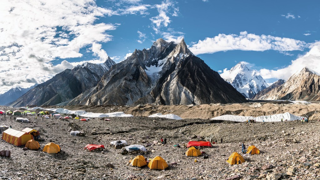
K2 is the tallest peak in the Karakorams and the second-highest peak in the world. It straddles the border between Pakistan and China and is known as one of the world's most technical and deadly summits. At 20%, the mortality rate is a bit higher than your chances at Russian Roulette with a six-shooter.
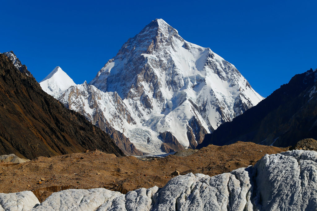
The name K2 was first given to the peak by Thomas Montgomerie, who sketched the two most prominent peaks in the range and named them K1 and K2, with the K standing for Karakoram.
The legend of The Belay is perhaps the most heroic event minted on the slopes of any 8000m peak. In 1953, a team of six American climbers was in the midst of a retreat after a 10-day storm forced a bivouac at 7,800 m (25,590 ft). The team had roped together for a steep traverse over exposed ice, and a fall from one of the climbers pulled the entire group off the mountain.
Incredibly, climber Pete Schoening was able to move and wedge his axe in between a boulder, arresting the fall and saving the lives of four of his companions - Art Gilkey, an incapacitated climber being transported down by his team, disappeared in the fall. His companions speculate that he cut himself loose to reduce the team's burden.
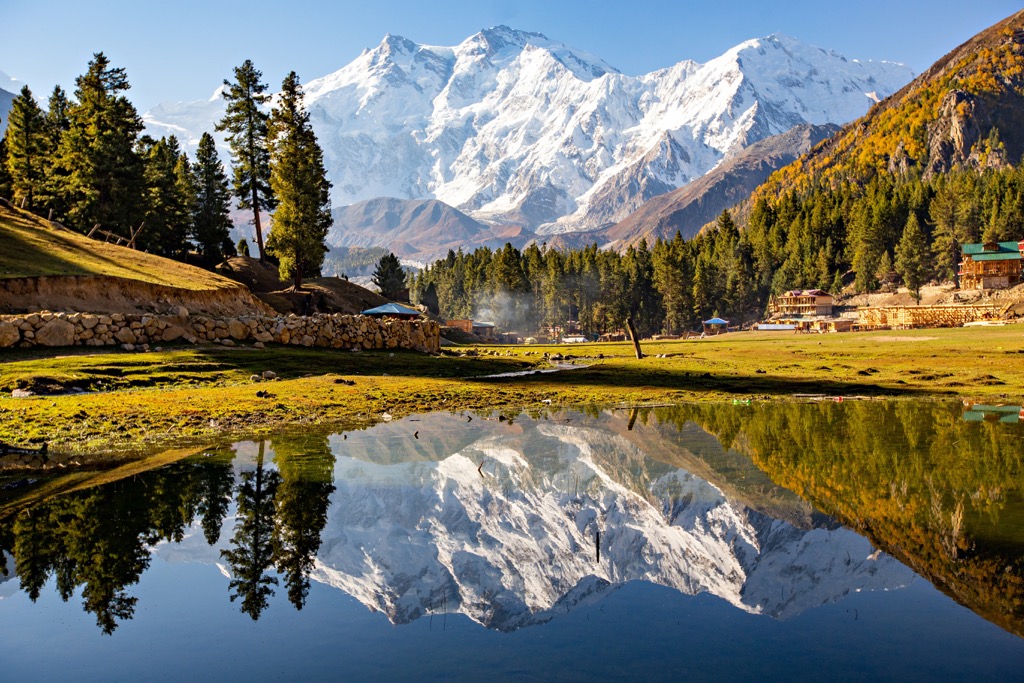
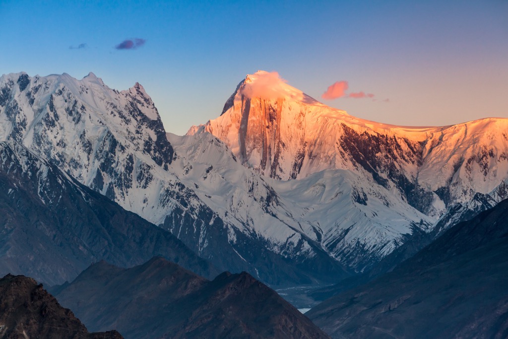
Nanga Parbat is the westernmost major peak of the Himalayas and is the world’s 14th most prominent mountain. It is also one of the 14 peaks above 8000m (26,250 ft), ranked 9th globally.
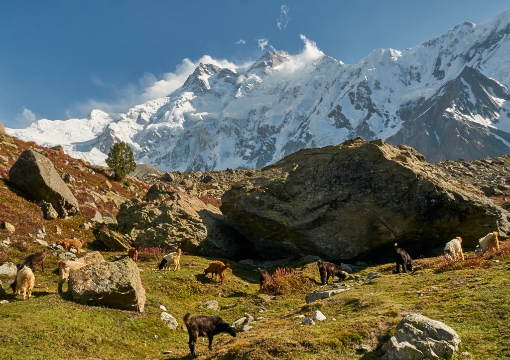
Amongst climbers, the mountain is especially renowned for the Diamer and Rupal faces, with the latter extending 4600m from base camp to summit.
Batura Sar is the second most prominent peak in the Karakorams and the tenth tallest in Pakistan. Situated in the Batura Muztagh subrange, Batura Sar lies in the northwestern region of the Karakorams. It forms the apex of the Batura Wall, a towering ridgeline within the Batura Muztagh. Batura Sar is also called Batura, Batura I, and Batura I East.
Buni Zom lies in the Buni Zom group of Pakistan, 50 km (30 miles) east of Tirich Mir, the tallest peak in the Hindu Kush. The Buni Zom group features 12 mountains reaching over 6,000 m (19,700 ft). A New Zealand expedition completed the first recorded ascent of the Buni Zom in 1957.
Rakaposhi is the third most prominent peak in the Karakorams and the 27th tallest peak globally. Located in the Bargote Valley, it’s also known as Dumani, which translates to the Mother of Mist. Rakaposhi is noted for its dramatic face, dropping nearly 6,000 m (19,700 ft) from summit to base. The nearby town of Gilgit is host to a viewpoint known as the Zero Point of Rakaposhi.
The variety of landscapes and climates in Pakistan allows for a range of flora and fauna to thrive.
The forest in the extreme north consists of alpine and subalpine terrain populated by deodar cedar, pine, and spruce. Most of the country is home to deciduous forests, which includes shisham, also known as Northern Indian rosewood, throughout the Sulaiman Mountains.
Coconut and date palms thrive in the south, while mangrove forests line the coastal wetlands. Visitors in the western hills will likely spot tamarisk, juniper, shrubs, and grasses. Pakistan's wide variety of fauna also showcases the country’s varied climate.
Popular birds include species of falcons, sparrows, eagles, hawks, and mynas. Migratory birds often come from India, Central Asia, and parts of Europe. The southern plains support populations of jungle cats, desert cats, Asiatic jackals, mongoose, and Indian pangolin.
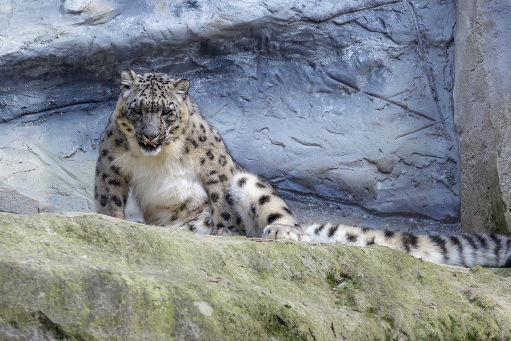
The Indus Plain features mugger crocodiles, porcupines, deer, wild boar, and small rodents. Wild animals in central Pakistan include striped hyenas, leopards, and wildcats, all struggling due to the severe climate and habitat destruction. The mountainous northern stretches of Pakistan feature the markhor goat, ibex, urial, Himalayan brown bear, Asian black bear, and the rare snow leopard.
Flora and fauna throughout Pakistan have been suffering in recent decades due to widespread deforestation, pollution, and hunting.
Pakistan is one of the most overpopulated countries in the world. It is the 33rd largest nation by land area yet the 5th largest by population; its population of 250 million occupies a country the size of Turkey. Moreover, the vast majority of the population lives within the Indus River Valley and southern lowlands near the Indian Ocean, occupying a small fraction of the total land area. So many people in so little space has led to severe habitat loss throughout Pakistan’s borders.
Humans have inhabited present-day Pakistan for thousands of years. The Soanian were the earliest known inhabitants. Stone tools found in present-day Punjab date back to the Lower Paleolithic (300,000 years ago).
The Indus River region has been home to numerous ancient cultures, including the Neolithic Mehrgarh and the famous Indus Valley civilization during the Bronze Age. During the Vedic period, the Vedas were composed, marking the oldest scriptures that are associated with the religion of Hinduism. Around the sixth century BCE, Taxila founded one of the earliest centers for high education.
The Achaemenid Empire conquered the western stretches of Pakistan in 519 BCE. Alexander the Great conquered much of the region in 326 BCE. The Maurya Empire followed shortly after and ruled until 185 BCE.
Over the following centuries, several ancient cultures ruled over present-day Pakistan. Numerous empires and dynasties have controlled this land, including the Kushan, the Maurya, the Gupta, the Achaemenid, the Samma, the Hindu Shahis, the Umayyad Caliphate, the Ghaznavids, the Delhi Sultanate, the Mughals, and the British Raj.
It was not until the 1830s that European powers ruled over modern-day Pakistan. The British conquered Karachi, a small fishing village, in 1839. By 1843, the British had gained control of the rest of the Sindh province. Over the following decades, Queen Victoria of the British Empire took over most of the country. Major wars and battles during this period include the Battle of Miani, the Anglo-Sikh Wars, and the Anglo-Afghan Wars.
The British Indian Empire ruled over modern Pakistan from 1893 until 1947, when the nation achieved independence. In 1947, the United Kingdom agreed to partition India, establishing Pakistan on August 14th, 1947. Riots ensued in the Punjab Province following the split, killing between 200,000 and 2,000,000 people.
Pakistan is the only country established in the name of Islam. An estimated 4.7 million Hindus and Sikhs moved from West Pakistan to India, while 6.5 million Muslims moved from India to West Pakistan. This event marks the largest recorded mass migration in human history. Pakistan currently has the world’s second-largest Muslim population after Indonesia.
Times of significant economic growth and political and economic instability have marked Pakistan’s history since gaining independence. The region of Kashmir, located in the northernmost section of the Indian subcontinent, has continued to be a significant territorial dispute between Pakistan and India.
There are countless hiking routes and treks located in Pakistan. Below are a few of the significant hiking areas to check out on your next visit:
Deosai National Park is an alpine plateau in the Gilgit-Baltistan territory of Pakistan. Altitudes range between 3,500 to 5,200 m (11,483 to 17,060 ft), while the park spans 3,584 sq km (1,384 sq miles). The plateau is relatively flat and features sweeping rolling hills and plains while jagged peaks and ranges tower above on all sides.
The park features rich biodiversity and receives higher rainfall compared to surrounding regions. The breathtaking Sheshoar Lake lies in the western part of the park, while the Bara Pani is the largest river to traverse this protected region. This landscape marks the second-highest plateau in the world, second only to the Changtang Tibetan Plateau.
Fairy Meadows National Park is one of the most beautiful treks in the country (and the world). The park encompasses a sweeping grassland near a base camp site of Nanga Parbat, the most prominent peak in the country. Situated at 3,300 meters (10,800 ft), Fairy Meadows is a launching point for those trekking the Rakhiot face of Nanga Parbat. Be aware that the World Health Organization declared the gravel access road the world’s second-deadliest in 2013.
The Naltar Valley is in the Gilgit-Baltistan province and is known for its forested hillsides, surrounding mountain views, alpine lakes, and the Naltar Wildlife Sanctuary. Numerous lakes line the valley, the most popular being Strangi Lake, Blue Lake, and Bodlok Lake. During the winter months, visitors can enjoy the Naltar Ski Resort.
Those visiting Pakistan should check with their country’s travel advisory before planning trips. Below are a few of the most popular destinations for visitors:
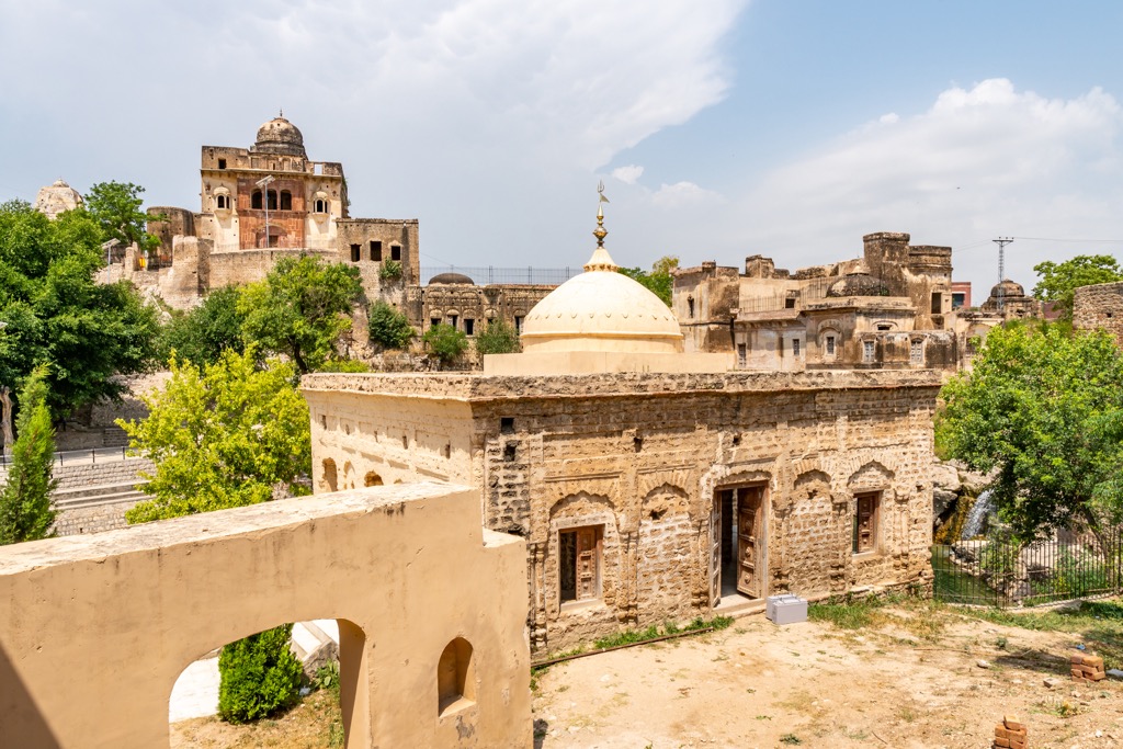
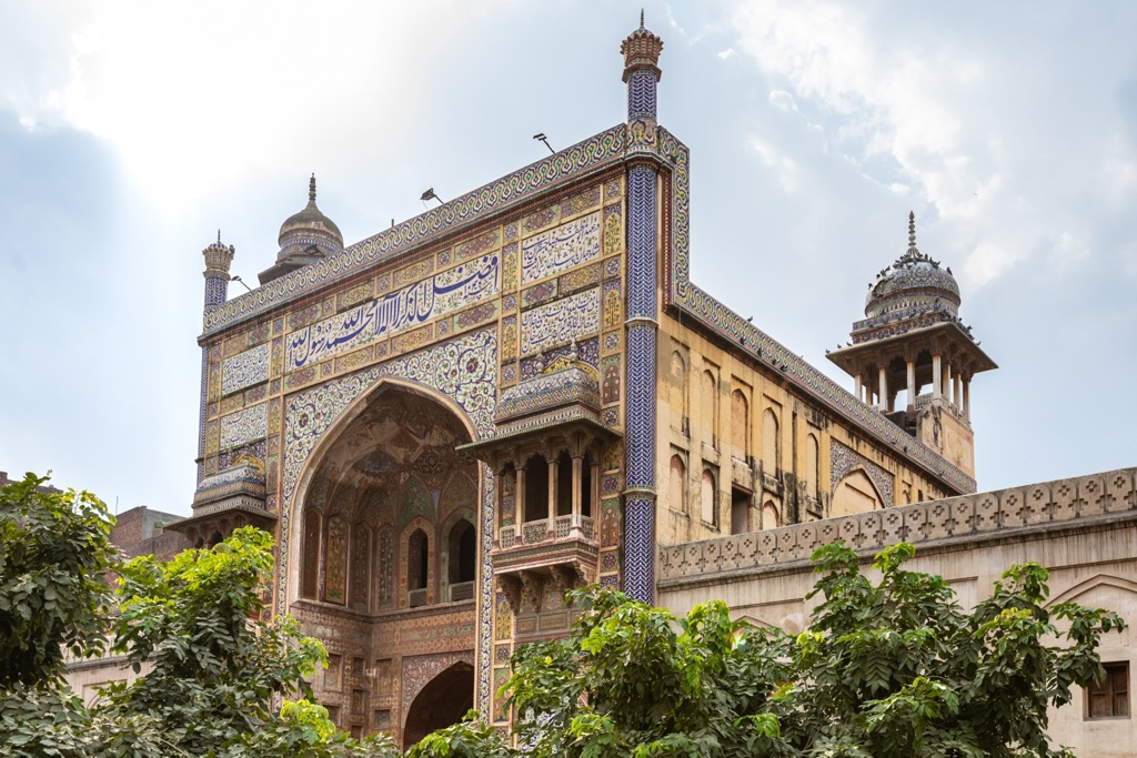
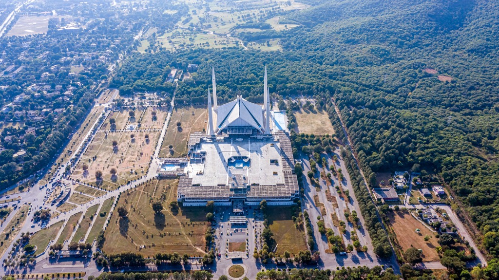
Islamabad is the capital city of Pakistan and home to over 1.2 million people. Islamabad lies at the northern edge of the Pothohar Plateau, located in the Islamabad Capital Territory. The Margalla Hills and the country’s most mountainous terrain are to the north.
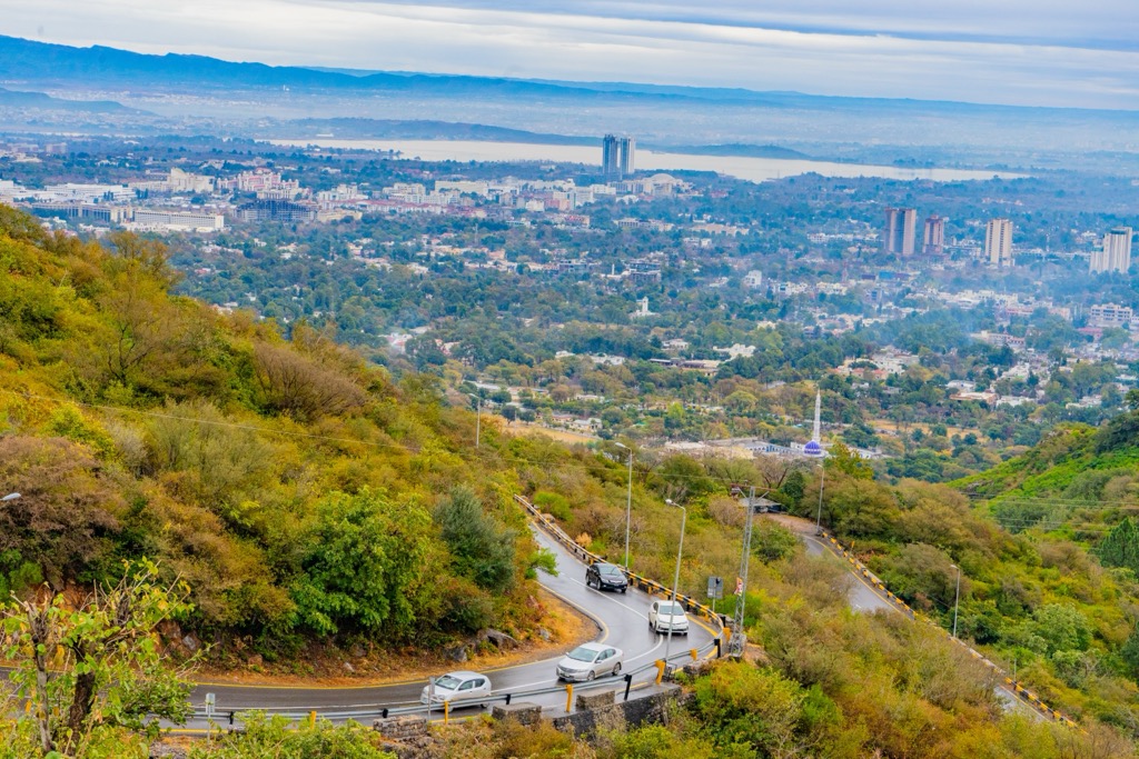
Islamabad lies between the Khyber Pakhtunkhwa and Punjab Provinces and is known for its cultural heritage. Those wishing to admire the city's stunning architecture should visit the Pakistan Monument, Islamabad Museum, Faisal Mosque, and Lake View Park. Other nearby sites include the Margalla Hills National Park and Daman-e-Koh.
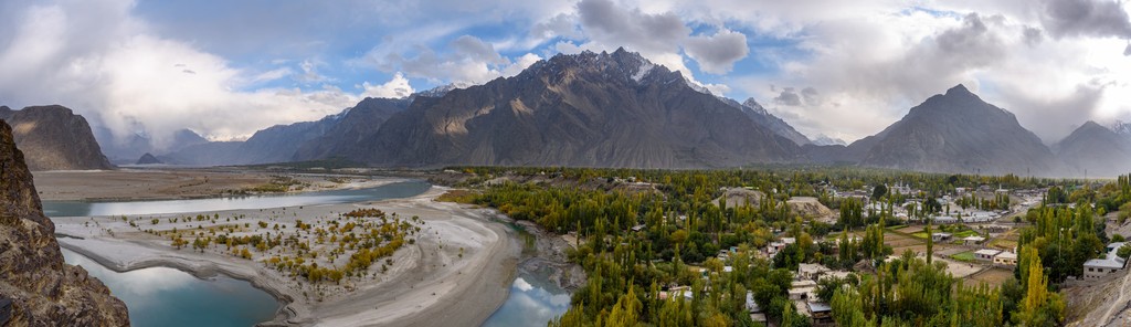
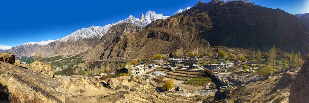
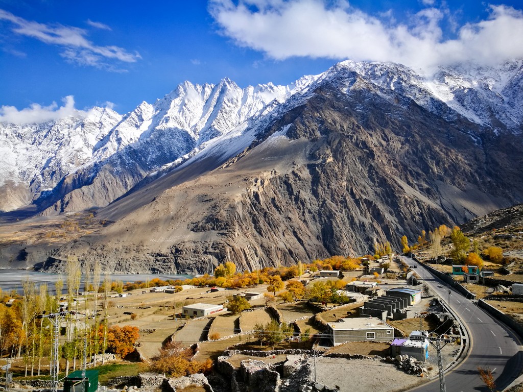
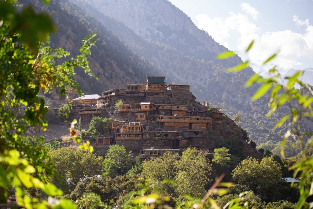
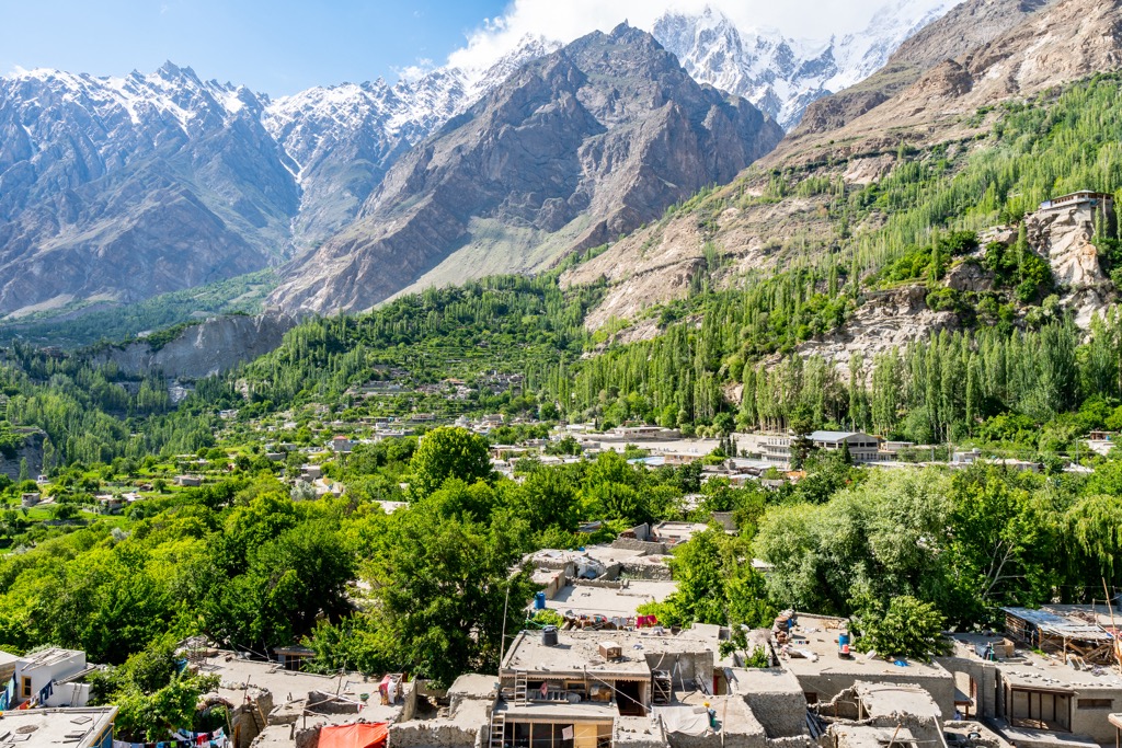
Karimabad is the capital city of the Hunza District in the Gilgit-Baltistan province. Situated along the west bank of the Hunza River, Karmabad is home to just 16,000 residents and offers a portal into the famous Hunza Valley.
From Karimabad, visitors can explore all this iconic valley has to offer. A trip to Khunjerav Pass provides a view of one of the world’s highest road passes, while other popular attractions include Attabad Lake, Hussaini Bridge, Balttfort, and Altittfort. Many local villages are starting points for the numerous hiking trails and treks in Pakistan’s Hunza Valley.


ultra
8000ers
china-ultras
pakistan-ultras
ultra
8000ers
china-ultras
pakistan-ultras
ultra
8000ers
china-ultras
pakistan-ultras
ultra
8000ers
china-ultras
pakistan-ultras
ultra
8000ers
china-ultras
pakistan-ultras


