Get PeakVisor App
Sign In
Search by GPS coordinates
- Latitude
- ° ' ''
- Longitude
- ° ' ''
- Units of Length

Yes
Cancel
❤ Wishlist ×
Choose
Delete
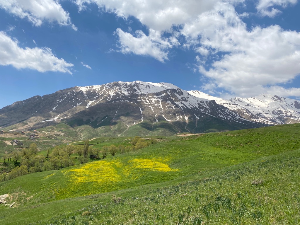
The Alborz Mountains (also known as Alburz, Elborz, and Elburz) are an expansive mountain range in northern Iran, spanning along the southern coast of the Caspian Sea. There are 7073 named peaks; the highest and most prominent is Damavand (5,609 m/ 18,402 ft), Asia's second most prominent peak after Mount Everest.
The Alborz Mountains are a significant mountain range located in northern Iran, near the southern coast of the Caspian Sea. They span roughly 900 km (500 mi) in length and 130 km (81 mi) in width from the country’s border with Azerbaijan to northern Khorāsān. These dimensions equate to roughly 155,970 sq km (60,220 sq mi) of surface area.
The three distinct subranges are Western, Central, and Eastern Alborz, each featuring unique flora and fauna.
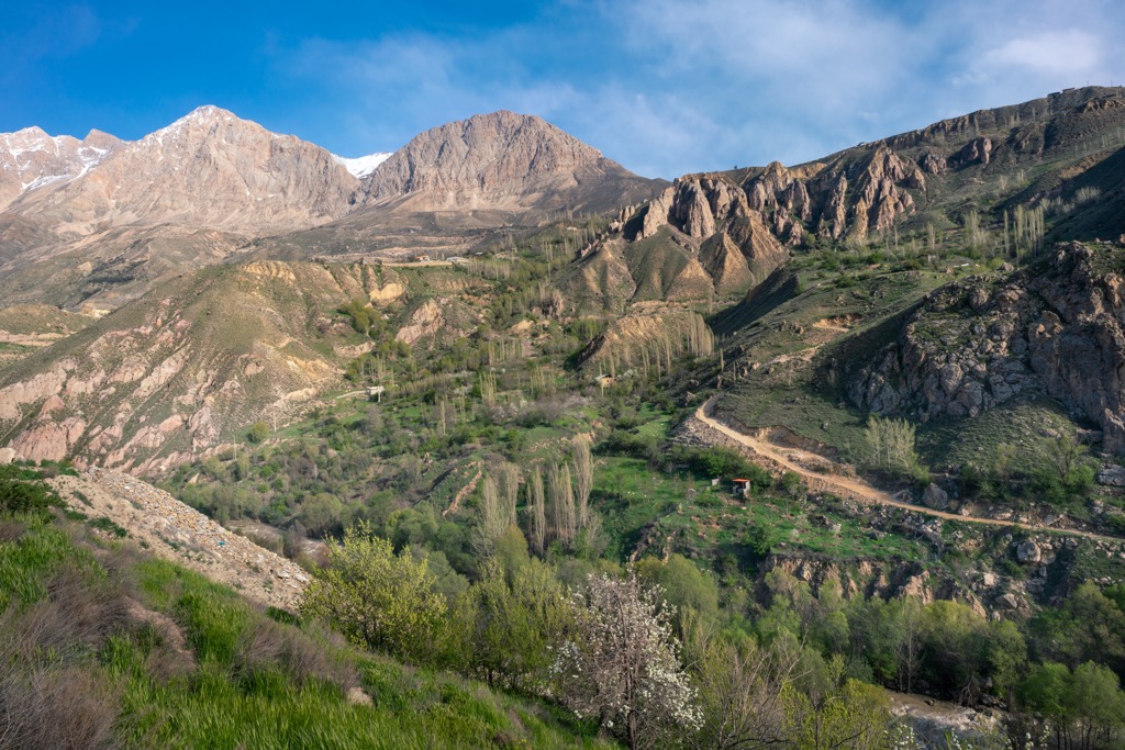
The Western Alborz, located along the west coast of the Caspian Sea, is commonly called the Talysh. A single ridge and gradual northern slopes define the Western Alborz. The Safīd River passes the entire width of the chain.
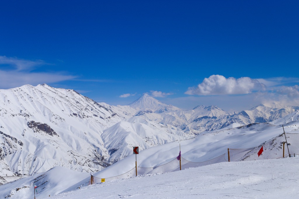
The Central Alborz subrange is situated along the southern coast of the Caspian Sea and runs east to west. This subrange is home to the tallest peaks in the Alborz, including Damavand, which marks the highest mountain in Iran. In the valleys and ridgelines lie numerous towns and cities.

The Eastern Alborz runs in a northeast direction towards northern Khorāsān. There are numerous low-elevation passes as the width of the Alborz dwindles to just 50 km (30 mi).
The Alborz has multiple national parks and nature reserves, showcasing different landscapes within the expansive range. These include Khojir National Park, Golestan National Park, and Lar National Park.
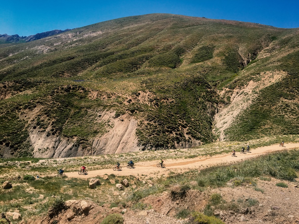
The Alborz form a natural border between the Iranian plateau and the Caspian Sea. These peaks are part of the much larger Alpide belt, which consists of other significant ranges, including the Alps, Pyrenees, and the Himalayas.
Sedimentary rock found in the range dates back between the Upper Devonian to Oligocene Jurassic limestone surrounds a granite core. The Alborz Mountains have a complex geological history, having been affected by the formation of the Alpide belt and the Iranian plateau.
Peaks in the Eastern Alborz primarily consist of Paleozoic and Precambrian rocks. The Central Alborz features Triassic and Jurassic rocks and volcanic tufts near Damavand. Upper Cretaceous volcano-sedimentary rocks dominate much of the Western Alborz.
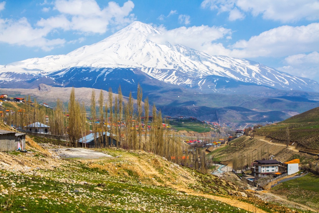
The Alborz began forming as the Iranian Plate collided with the Arabian and Eurasian Plates. Pressure caused by this collision resulted in the folding of land and widespread volcanism during the Miocene. The Alpine orogeny uplifted the range even further, beginning 65 million years ago.
Significant peaks in the range include Damavand, Alam-Kouh, Aq Dagh, and Shah Jahan.
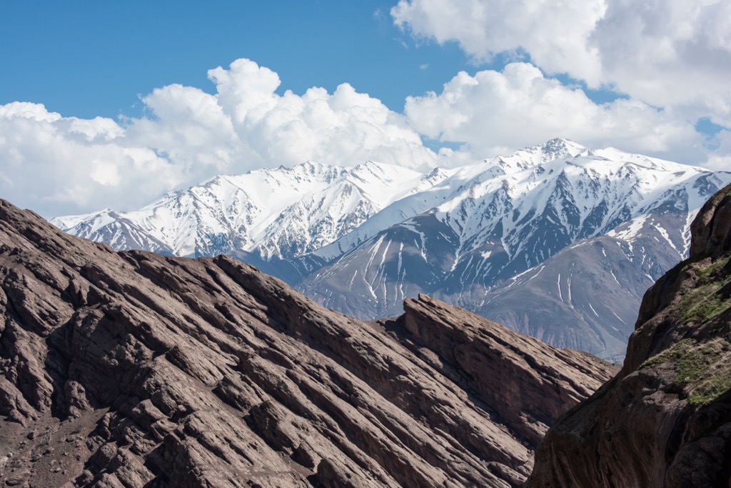
The Alborz Mountains are home to a variety of flora and fauna. Ecosystems differ significantly between the inland slopes and the Caspian slopes.
The humid Caspian slopes feature a forested landscape that spans nearly the entire length of the Alborz. Annual precipitation in the Gīlān region is 1,000 mm (40 inches), increasing at higher elevations.
Lower elevations feature a Hyrcanain forest, giving way to beech and oak forest at higher elevations. Sheltered valleys within the Caspian slopes also support olive-growing communities.
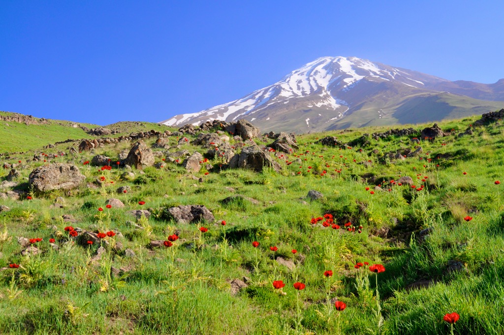
An arid climate characterizes Southern slopes situated along the Iranian plateau. Destruction of the juniper forest has led to a lack of vegetation and increased desertification. Annual rainfall along these slopes ranges between 260 and 500 mm (11 and 20 inches).
The Caspian forests were once famous for their population of Hyrcanian tigers, which have become extinct. Wildcats such as lynx and leopards still live in the Caspian forests. Wild boar, roe deer, mouflon, ibex, and bear are also present.
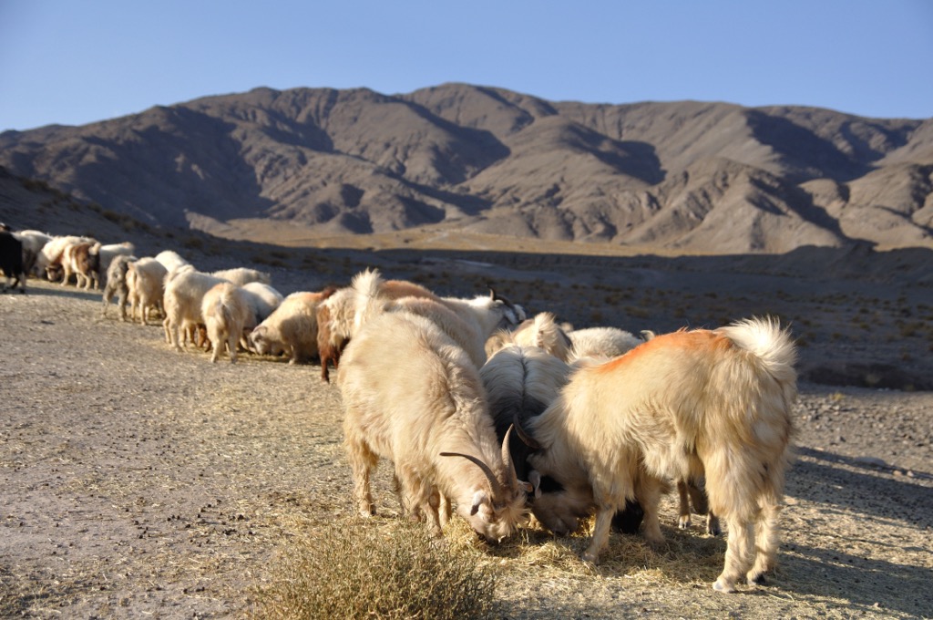
The Alborz harbor a rich religious and mythological history dating back thousands of years. Zoroastrian sects identify the range as Peshyotan’s dwelling place and Davamand as the home of Saheb-e-Dilan. Ferdowsi’s Šāhnāme, an epic poem depicting the legends of Iran, mentions the importance of Davamand.
Tehran lies in the southern foothills and marks Iran's most populous city and capital. The human history surrounding Tehran dates back over 6,000 years to the ancient city of Ray.
During the Median Empire, present-day Tehran was part of the city of Rhages. Avesta’s Viidevdat mentions Ohrmazd created Rhages as the 12th sacred place. Yazdgerd III ruled during the reign of the Sasanian Empire but fled the region in 641.
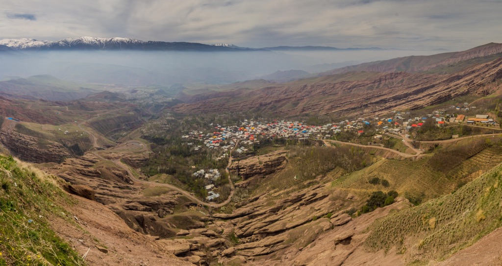
Tehran became a village in the ninth century, while nearby Rhages continued to thrive as a well-established city. The Mongols invaded Rhages during the 13th century, destroying the city and massacring its citizens, though some escaped to Tehran.
Tehran was first chosen as the capital of Iran by Agha Mohammad Khan in 1786. The capital city has been moved dozens of times throughout modern history, with Tehran marking the 32nd national capital of Iran. The widespread industrialization of Tehran began during the 1920s, resulting in mass migration to the region throughout the 20th century.
Most of the Alborz Mountains are uninhabited though the Caspian slopes are home to various towns and cities. The Caspian slopes are still home to communities centered around cattle raising and grain cultivation. Traditional ways of life, including charcoal burning, goods transportation, and coal mining, have diminished with the industrialization of Iran.
Golestan National Park, the oldest national park in Iran, was established in 1976, followed by Kavir National Park in 1982.
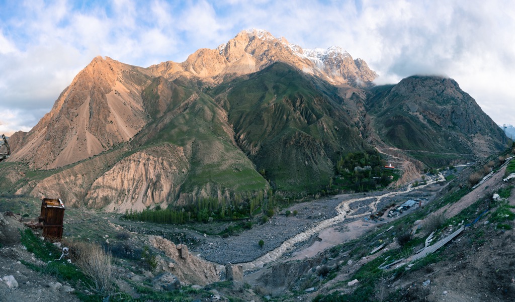
There are hundreds of hiking trails located amidst the Alborz Mountains. Below are a few of the significant hiking areas to check out on your next visit:
Golestan National Park, colloquially known as the Golestan Jungle, is in northeastern Iran. The park spans 919 sq km (355 sq miles) in the Eastern Alborz. Golestan National Park is one of Iran's most critical habitats and is home to various flora and fauna. Common animals include brown bears, gazelle, deer, and Persian leopards. Habitats in the park include lush deciduous forests, shrublands, and grasslands.
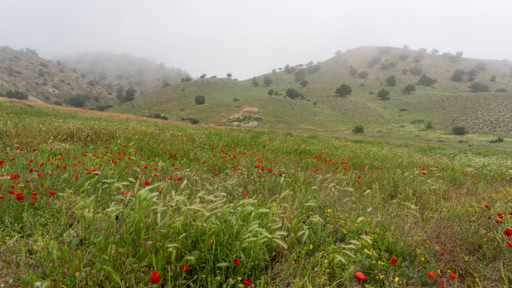
In Central Alborz lies Lar National Park. The park spans roughly 300 sq km (116 sq miles), and its main feature is its location in the shadow of the massive Damavand Peak. The government established Lar as a national park in 1976. It lies just 70 km (43 miles) northeast of Tehran. Other popular sites include the Lar Dam and reservoir.
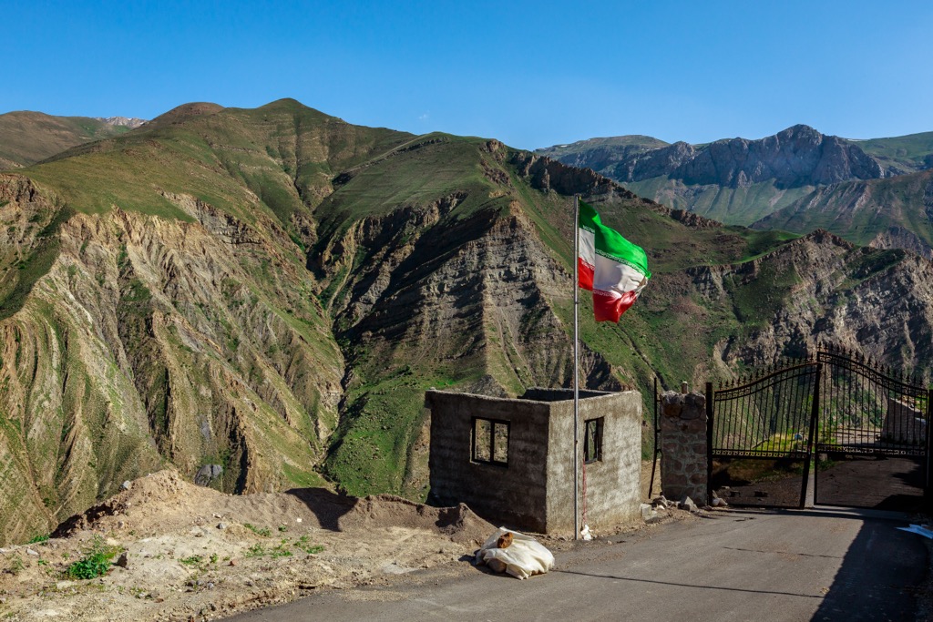
Located in the southern foothills of the Alborz range lies Khoji National Park. Established as a national park in 1982, Khojir lies within the Jajrood Protected Area. The park spans 99.71 sq km (38.5 sq miles) of rolling foothills and high mountain peaks and has a well-preserved landscape. The Jarjrood River runs through the park after crossing the Latyan Dam.
Those visiting the Alborz Mountains should check with their country’s travel advisory before planning any trips. Below are a few of the most popular destinations near the range:
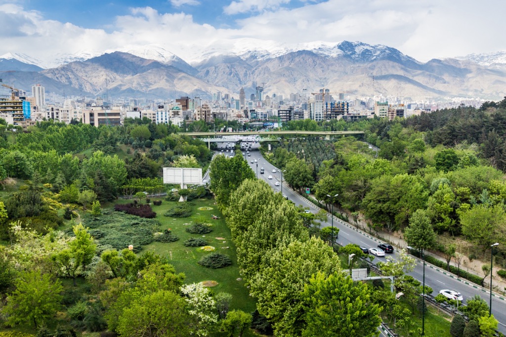
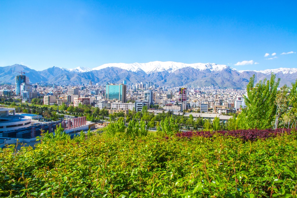
Tehran (also called Teheran) is Iran's capital and largest city. This metropolis is situated in the southern foothills of the Alborz Mountains and has a population of nearly 9 million. The Golestan Palace, the seat of power during the Qajar dynasty, lies near the city's center.
Other popular sites include the Milad Tower, Azadi Tower, Tabiat Bridge, and the Saadabad Cultural and Historical Complex. Despite the city's size, Tehran is close to numerous hiking trails and outdoor spaces. Within an hour's drive of the town, four world-class ski resorts await visitors, allowing for year-round outdoor recreation.
Explore Alborz with the PeakVisor 3D Map and identify its summits.

