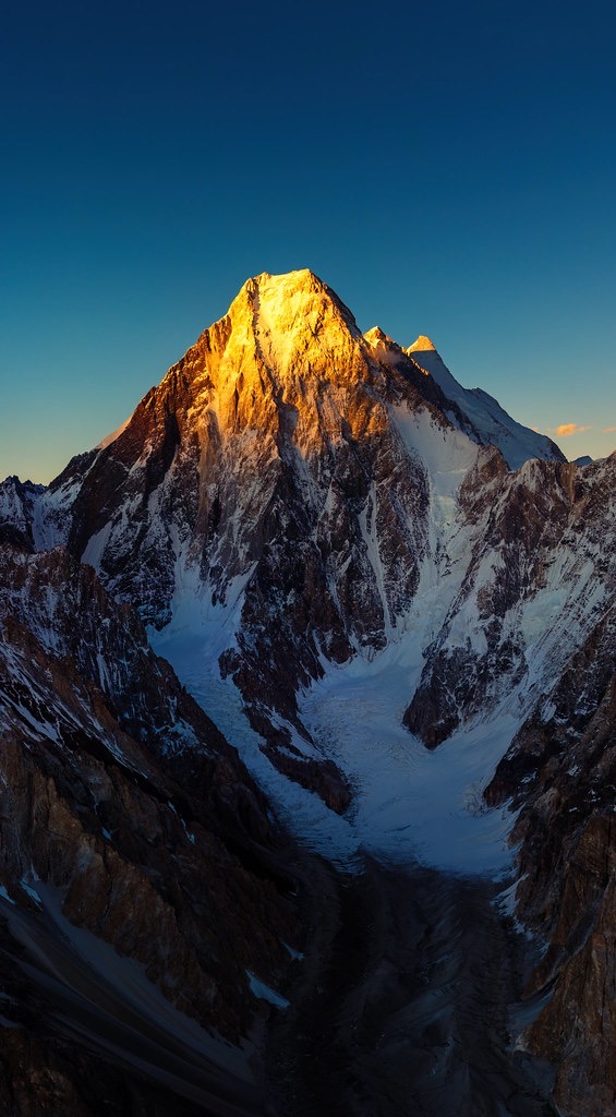
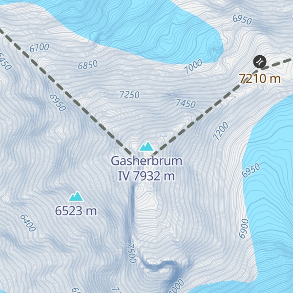
Gasherbrum IV (Urdu: گاشر برم -4; simplified Chinese: 加舒尔布鲁木IV峰; traditional Chinese: 加舒爾布魯木IV峰; pinyin: Jiāshūěrbùlǔmù IV Fēng), surveyed as K3, is the 17th highest mountain on Earth and the 6th highest in Pakistan, as well as the highest independent mountain under eight thousand meters in Pakistan.
One of the peaks in the Gasherbrum massif, its immense West Face looms over the glacial junction of Concordia. The Name "Gasherbrum" is often claimed to mean "Shining Wall", presumably a reference to this face's tendency to reflect the rays of the setting sun, but in fact it comes from "rgasha" (beautiful) and "brum" (mountain) in Balti, hence it actually means "beautiful mountain."
Despite its lower height relative to the surrounding eight-thousanders, Gasherbrum IV is a venerated challenge among mountaineers. As of 2024, only 17 people have successfully summitted the mountain.
By elevation Gasherbrum IV is
# 7 out of 419 in Xinjiang # 17 out of 12241 in China # 6 out of 47 in Taxkorgan Tajik Autonomous County # 9 out of 8262 in Pakistan # 7 out of 552 in the Karakoram
By prominence Gasherbrum IV is
# 87 out of 419 in Xinjiang # 20 out of 47 in Taxkorgan Tajik Autonomous County
We use GPS information embedded into the photo when it is available.
3D mountains overlay
Adjust mountain panorama to perfectly match your photos because recorded by camera photo position might be imprecise.
Move tool
Rotate tool
Zoom
More customization
Choose which peak labels should make into the final photo and what photo title should be.
Next
Photo Location
Satellitte
Flat map
Relief map
Latitude
Longitude
Altitude
OR
Latitude
°'''
Longitude
°'''
Apply
Register Peak
Peak Name
Latitude
Longitude
Altitude
Register
Teleport
PeakVisor
This 3D model of Sagarmatha National Park in Nepal was made using the PeakVisor app topographic data. The mobile app features higher precision models worldwide, more topographic details, and works offline. Download PeakVisor maps today.
Download OBJ model
PeakVisor
The download should start shortly. If you find it useful please consider supporting the PeakVisor app.
PeakVisor for iOS and Android
Be a superhero of outdoor navigation with state-of-the-art 3D maps and mountain identification in the palm of your hand!