Get PeakVisor App
Sign In
Search by GPS coordinates
- Latitude
- ° ' ''
- Longitude
- ° ' ''
- Units of Length

Yes
Cancel
❤ Wishlist ×
Choose
Delete
The Eastern Divide District is an administrative region located in the central part of the Jefferson National Forest. It is situated in the western part of the US state of Virginia and the eastern part of the state of West Virginia. The ranger district contains 103 named mountains, the highest and most prominent of which is Bald Knob (4,357 ft/1,328 m).
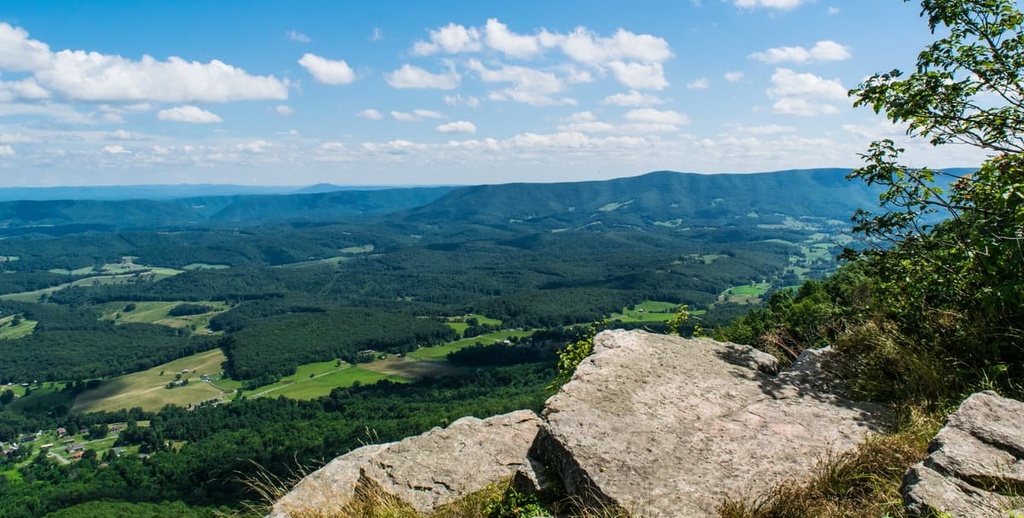
The Eastern Divide District is an administrative area in the central part of the Jefferson National Forest.
It is primarily located in the US state of Virginia, but it also contains a small portion of the state of West Virginia. The district is partly located in Wythe, Bland, Tazewell, Botetourt, Pulaski, Smyth, Roanoke, Giles, and Montgomery counties in Virginia, and Monroe County in West Virginia. It is one of the largest ranger districts in the national forest.
The district consists of a number of discontinuous sections of public land that are part of the combined George Washington and Jefferson National Forests. It is centrally located within the forests and it is bordered by the James River Ranger District to the north and the Mount Rogers National Recreation Area to the south.
There are a total of 23 wilderness areas in the combined George Washington and Jefferson National Forests, including 10 that are located in the Eastern Divide Ranger District. These include:
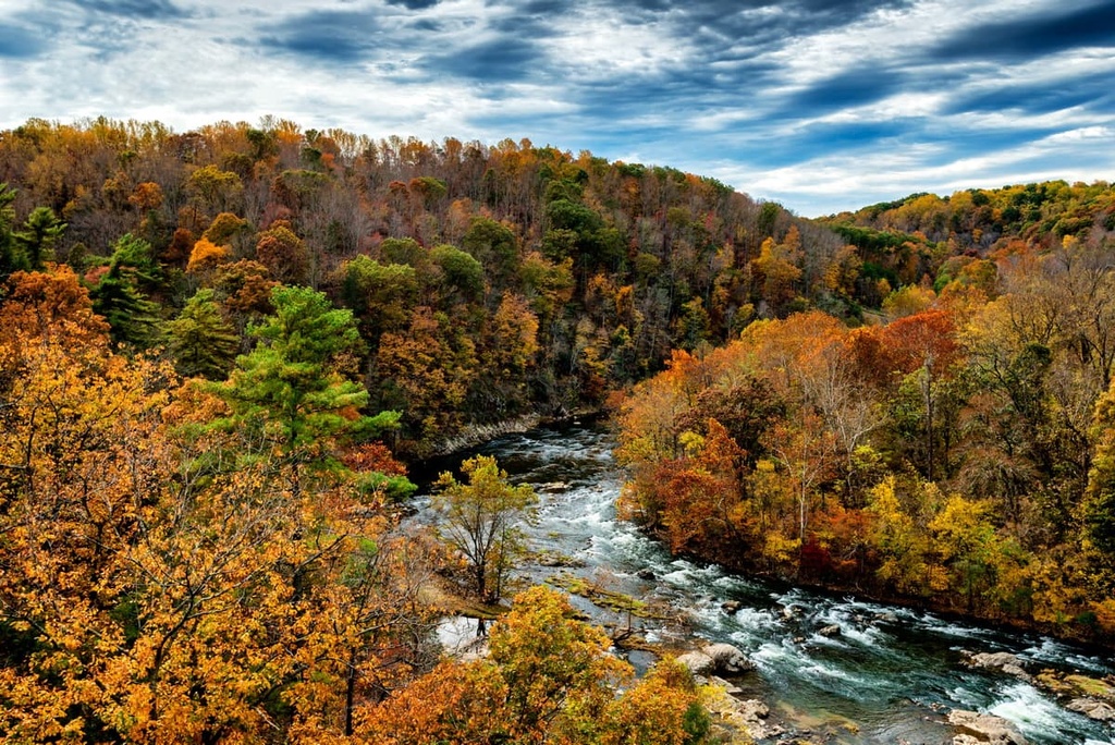
Many of these wilderness areas, such as the Barbours Creek, Shawvers Run, and Garden Mountain wildernesses, are also recognized by the Wilderness Society as being “mountain treasures” for their scenic beauty and fantastic biodiversity.
The Eastern Divide Ranger District is surrounded almost exclusively by other parts of the Jefferson and George Washington National Forests. This includes the Glenwood & Pedlar Ranger Districts and the James River Ranger District to the north, the Mount Rogers National Recreation Area to the south, and the Clinch Ranger District to the southwest.
Additionally, New River Gorge National Park, Mountain Lake Conservancy, Camp Creek State Forest, Pipestem Resort State Park, and Bluestone Lake Wildlife Management Area are located just a short distance to the north.
The peaks within the Eastern Divide Ranger District of Jefferson National Forest are part of the Appalachian Mountains. The Appalachians are a major mountain system that stretches from the state of Alabama in the south all the way to the province of Newfoundland and Labrador in Canada to the north.
Furthermore, the peaks within the ranger district are primarily a part of the Appalachian Ridges, which is a subrange of the Appalachians that extends from northern Alabama to southern New York. These peaks are primarily composed of sedimentary rocks that date back to the Early Paleozoic.
Much of the terrain in and around the Eastern Divide Ranger District is rich in natural resources. Anthracite coal is perhaps the most economically important natural resource in the region. This high-value coal has been mined in this part of Appalachia for generations; however, salt, slate, marble, zinc, iron, and limestone mining is also prevalent in the area.
Major peaks within the Eastern Divide Ranger District include Bald Knob, Walker Mountain, Wrights Peak, North Mountain, Nutters Mountain, and Butt Mountain.
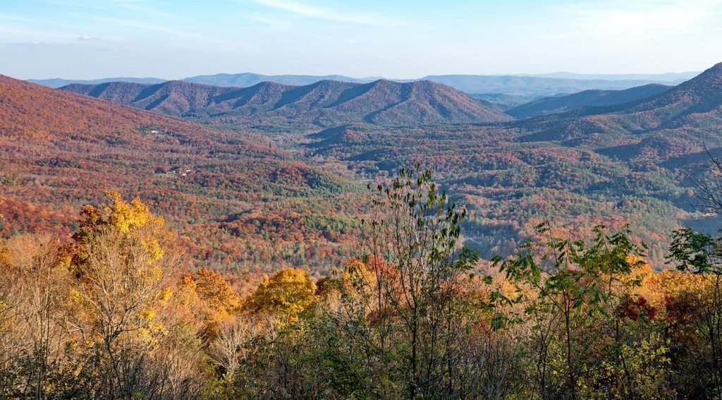
Within the Eastern Divide Ranger District, the primary ecoregion is that of the Appalachian-Blue Ridge forests. This ecoregion is dominated by dense temperate deciduous forests. In fact, it’s one of the most biodiverse temperate deciduous forests in the world.
Here, you can find more than 100 tree species. This includes deciduous oak forests and related species at lower elevations and both spruce and fir forests at the highest elevations. However, the peaks of the Eastern Divide Ranger District aren’t as lofty as those in other parts of the national forests, so alpine zones aren’t common in this section of the Appalachians.
With respect to wildlife, some of the many species you might see in the ranger district include weasels, otters, martens, bobcats, white-tailed deer, and black bears.
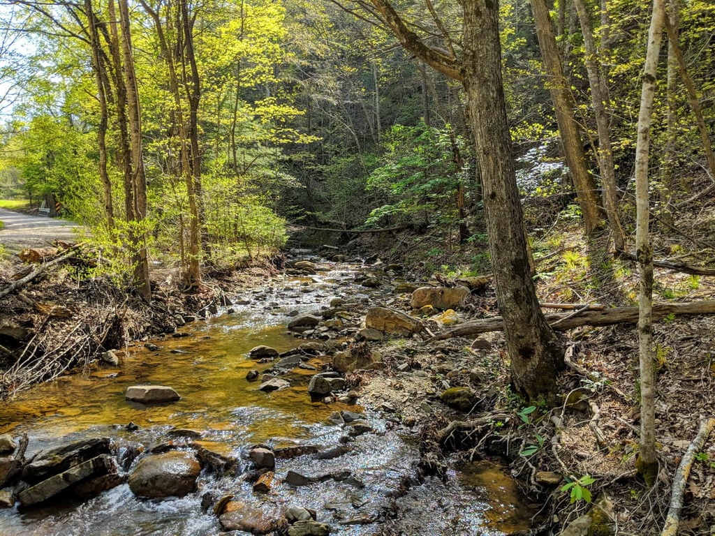
The region in and around what is now the Eastern Divide District of Jefferson National Forest has been home to humans since time immemorial. Indeed, the region is part of the ancestral homelands of many Indigenous peoples, including the Cherokee, Moneton, Tutelo, Monacan, Sappony, Shawnee, and Calicuas.
The first peoples of European descent to venture to what is now the Eastern Divide Ranger District were likely English colonists who traveled to what is now Blacksburg, Virginia in the 1670s.
In the years that followed, relatively few colonists attempted to settle the region around what is now Blacksburg. However, in the 1740s, the colonists began establishing homesteads in the area. This eventually led to conflict between the English colonists and many local Tribal Nations.
During the French and Indian War, there was a conflict between the Shawnee (who were backed by France) and the English settlers at an area called Draper's Meadow. After the war, the British claimed the region that is now the Eastern Divide Ranger District.
The Treaty of Fort Stanwix in 1769 claimed that the Six Nations were meant to abandon their claims to their ancestral lands in the region in exchange for cash and continued control over their lands elsewhere. But it eventually led to more conflict and the encroachment of US settlers on Six Nations land. This ultimately led to Dunmore’s War in 1774.
By this time, a number of settler families, including that of Samuel Black, had moved to the area around the Eastern Divide District. The land that Black settled eventually became Blacksburg in 1798.
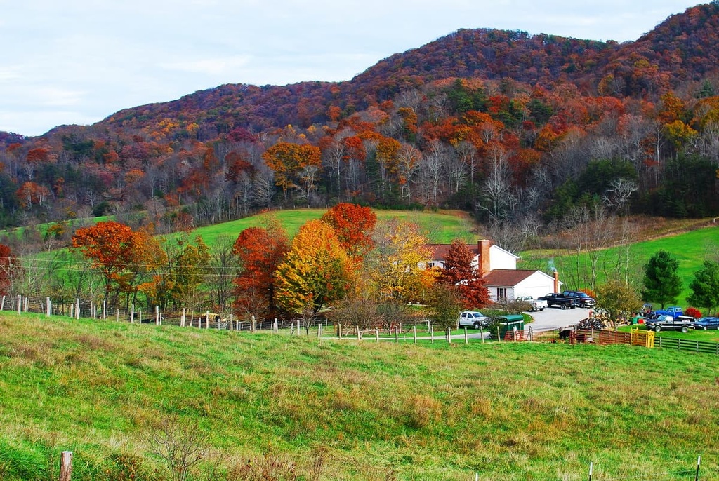
Interestingly, the Jefferson National Forest became one of the first forest reserves in the US to the east of the Mississippi River. It was established in 1918, not long after the creation of Pisgah National Forest in North Carolina, William B. Bankhead National Forest in Alabama, and Ocala National Forest in Florida.
The Eastern Divide Ranger District and the rest of Jefferson National Forest became administratively combined with the George Washington National Forest in 1995. Although the forests are separated geographically, they are administered together as a single unit out of offices in nearby Roanoke, Virginia.
Jefferson National Forest’s Easterb Divide District is full of excellent trails for hikers to enjoy. Here are some top trails to check out on your next visit to the region:
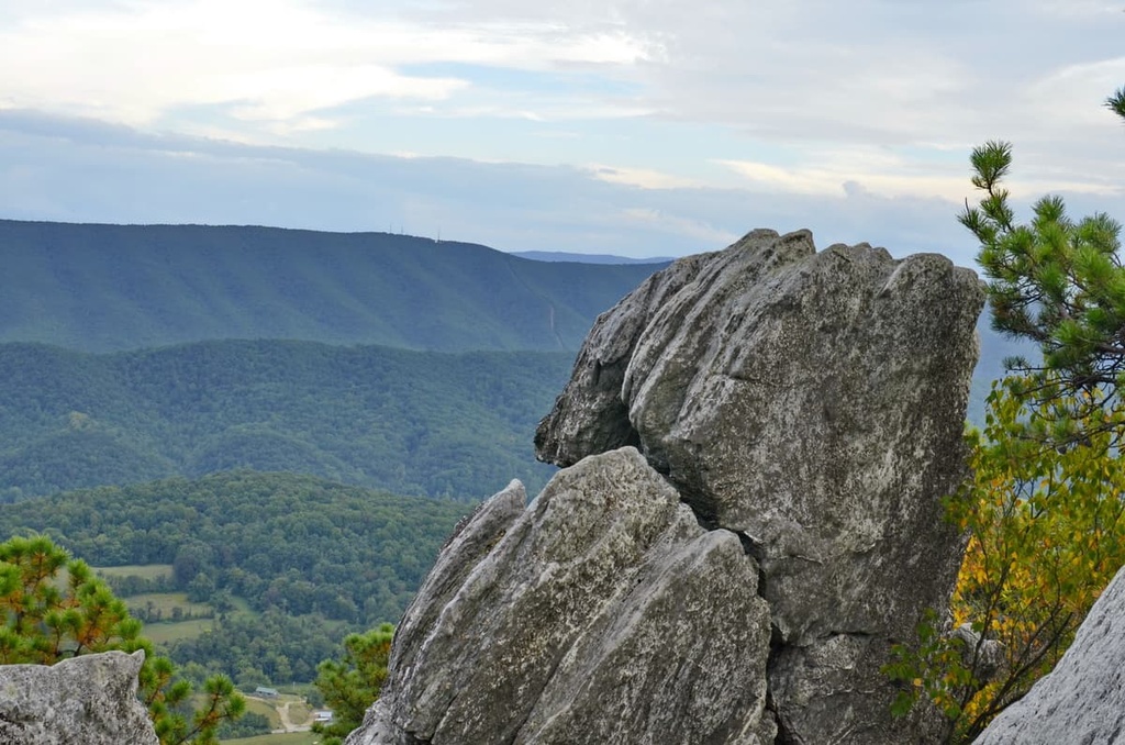
The Dragons Tooth Trail (#5009) is a 2.3 mile (3.7 km) long round trip hike to a unique rock formation at the top of Cove Mountain. It starts at a parking area near Catawba Grocery in Catawba, Virginia.
Right from the get-go, the trail climbs steadily uphill. It eventually joins up with the Appalachian Trail, at which point, the path gets quite a bit steeper. But if you stick it out and make it to the top, you’ll get to a large rocky spire with panoramic views of the surrounding area.
Even though this trail is fairly short, it can take the better part of the day to complete. The top of the trail also requires a bit of scrambling, so it’s not ideal for first-time hikers.
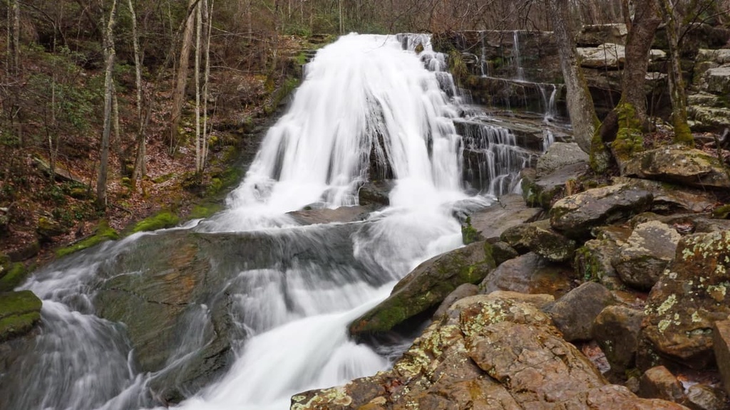
The Roaring Run Loop Trail (#264) is a scenic hike to a beautiful waterfall in the Eastern Divide District. This hike actually involves two trails that combine together to make a 1.5 mile (2.4 km) long loop.
Along this trail, you’ll get to see beautiful stone bridges, towering cliffs, and gorgeous streams set within stunning deciduous forests. Eventually, the trail leads you to Roaring Run Falls. You can either stay on the main trail or follow a very short spur to get a better view of the falls.
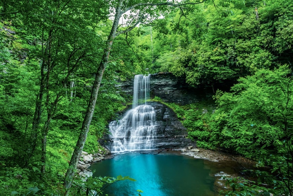
The Cascades Trail (#70) is one of the main paths to Cascades Falls, a 66 foot (20 m) high waterfall that’s one of the most powerful falls in the region. This hike is approximately 4 miles (6.4 km) long and it travels mostly along the banks of the scenic Stony Creek.
Interestingly, the lower part of this trail is actually a designated National Recreation Trail. The trail is well-maintained and it offers a number of beautiful bridges where you can get better views of Stony Creek.
Note that there is a day use fee to park at the Cascades Parking Lot. Frequent visitors to the region can get an annual Interagency Pass to save on fees both at the Cascades Trail and at other national public lands around the country.
Aptly named, the Pandapas Pond Loop Trail (#264) takes visitors to see the gorgeous Pandapas Pond. The pond is a man-made pond that’s situated within a serene hardwood forest that’s filled with rhododendron and azaleas.
This hike is approximately 0.9 miles (1.4 km) long and it is wheelchair accessible. It follows the path of a well-maintained boardwalk that gives you a chance to see the amazing aquatic life that inhabits Pandapas Pond.
The Eastern Divide Ranger District in Jefferson National Forest offers a number of accommodation options. If you want to spend the night in the forest, check out these campgrounds, dispersed camping areas, and cabins before your next visit:
If you’re looking to spend the night outside without giving up too many creature comforts, a stay at one of the national forest’s campgrounds might be a good choice.
There are approximately eight developed campgrounds in the Eastern Divide Ranger District. These include:
Note that each of these campgrounds offers different amenities for visitors. Most have potable water and vault toilets available, but some do not. Additionally, some are open all year long while others are only available on a seasonal basis.
Some campgrounds in the ranger district are fee-free and others charge a per-night fee (usually around $15).
The group campsites in the ranger district generally require an advance reservation, which you can make on Recreation.gov or by calling the ranger district (phone number 540-552-4641. Meanwhile, the individual campsites in the ranger district usually operate on a first-come, first-served basis.
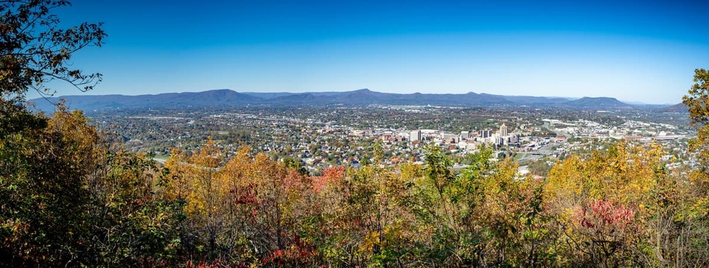
Dispersed camping, or camping away from designated campgrounds, is generally allowed anywhere within the Jefferson National Forest. Doing so is free and doesn’t require a permit except for groups of over 75 people (10 in a wilderness area) or for stays that are longer than 21 consecutive days.
However, as is the case with most national forests, there are a few rules that you have to follow when dispersed camping in the Eastern Divide Ranger District.
In particular, while dispersed camping, you must stay on public land at all times. Your campsite must also be at least 200 feet (60 m) from water sources and trails. Additionally, you must adhere to any posted signs that designate certain areas as off-limits to camping.
Finally, you must follow Leave No Trace Principles when dispersed camping in the national forest. This includes packing out all of your trash and properly storing your food at night.
There are three cabins available in the combined George Washington and Jefferson National Forests. However, these are all located in the Mount Rogers National Recreation Area.
While there are no cabins in the Eastern Divide Ranger District, you can stay at the Sunrise Cabin, Stony Fork Cabin, and Blue Springs Gap Cabin in the recreation area.
Reservations are required for cabin stays. You can make a reservation online by going to Recreation.gov.
Looking for a place to stay near the Eastern Divide Ranger District of the Jefferson National Forest? Here are some of the best cities and towns to check out:
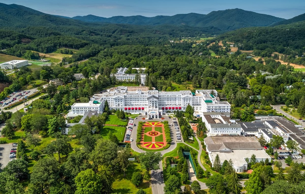
White Sulphur Springs is a city of approximately 2,500 residents that’s located in southeastern West Virginia. It has long been a summertime resort due to the city’s relatively cool, low-humidity climate when compared to other parts of the state. In fact, The Greenbrier, which is located in White Sulfur Springs, is one of the nation’s most exclusive resort destinations.
Additionally, White Sulphur Springs is located just to the northwest of the Eastern Divide Ranger District. It has good road and Amtrak access to the rest of the region.
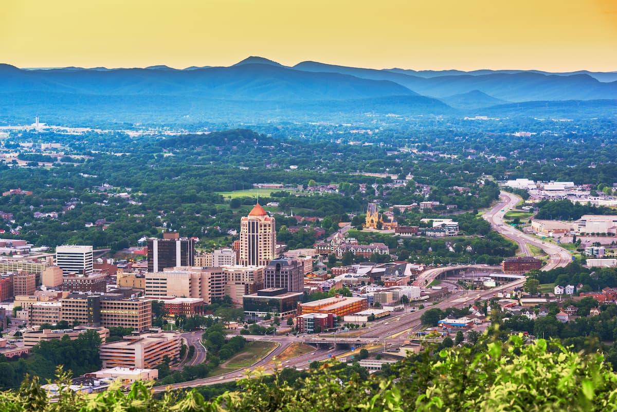
Roanoke is a city of approximately 100,000 residents that’s located in western Virginia. It’s the largest city in the state that’s loathed to the west of the capital of Richmond. As such, it is a major economic and transportation hub in the region.
In Roanoke, you can find pretty much any amenity you might need during your trip to the Jefferson National Forest. The city has excellent restaurants, shops, and hotels, as well as a regional airport that offers good transportation connections to the rest of the eastern United States.
Covington is a city of approximately 6,000 residents that’s situated along the northern border of the Eastern Divide Ranger District. It’s a relatively small city, however, it is an important economic and cultural center for a remote part of western Virginia.
The city is located at the confluence of the Jackson River and Dunlap Creek. It is also just a short drive from a number of luxury resorts, including The Greenbrier and The Omni Homestead.
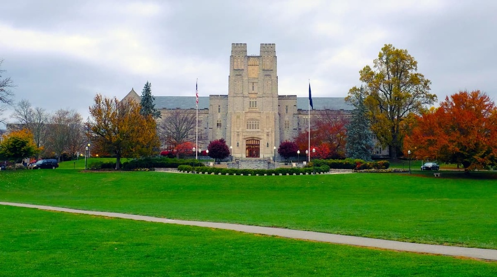
Blacksburg is a town of approximately 43,000 residents that’s located just outside the southern borders of the Eastern Divide Ranger District. It is perhaps best known for being home to Virginia Tech, a public land-grant research university with approximately 34,000 students.
The town of Blacksburg has a strong economy, thanks to the presence of Virginia Tech and the headquarters of both the National Weather Service and the manufacturing giant Honeywell. Blacksburg also offers superb access to the entire Jefferson National Forest.
Explore Jefferson National Forest (Eastern Divide district) with the PeakVisor 3D Map and identify its summits.


