
 Historic site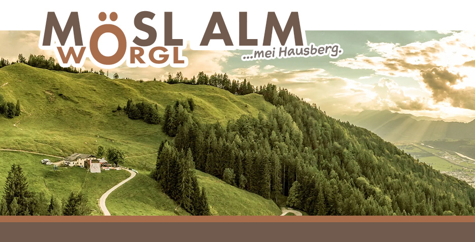













Curated by Kitzbüheler Alpen Tourismus
Wörgl
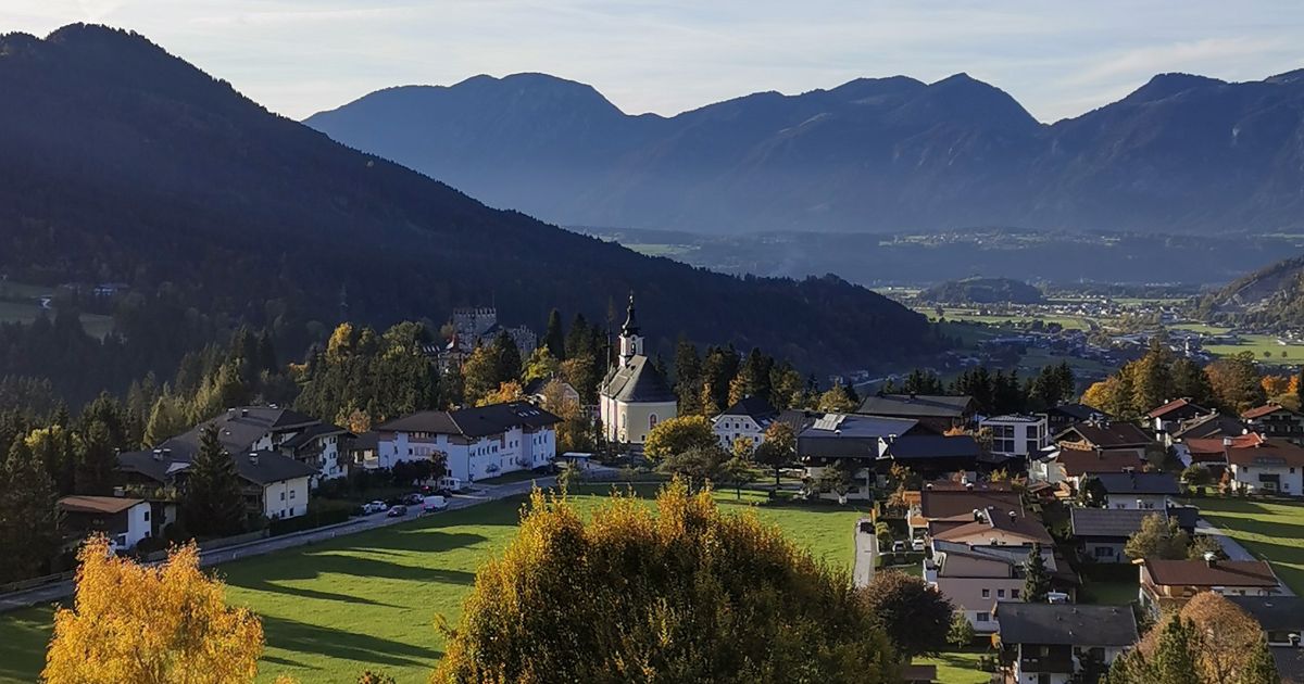
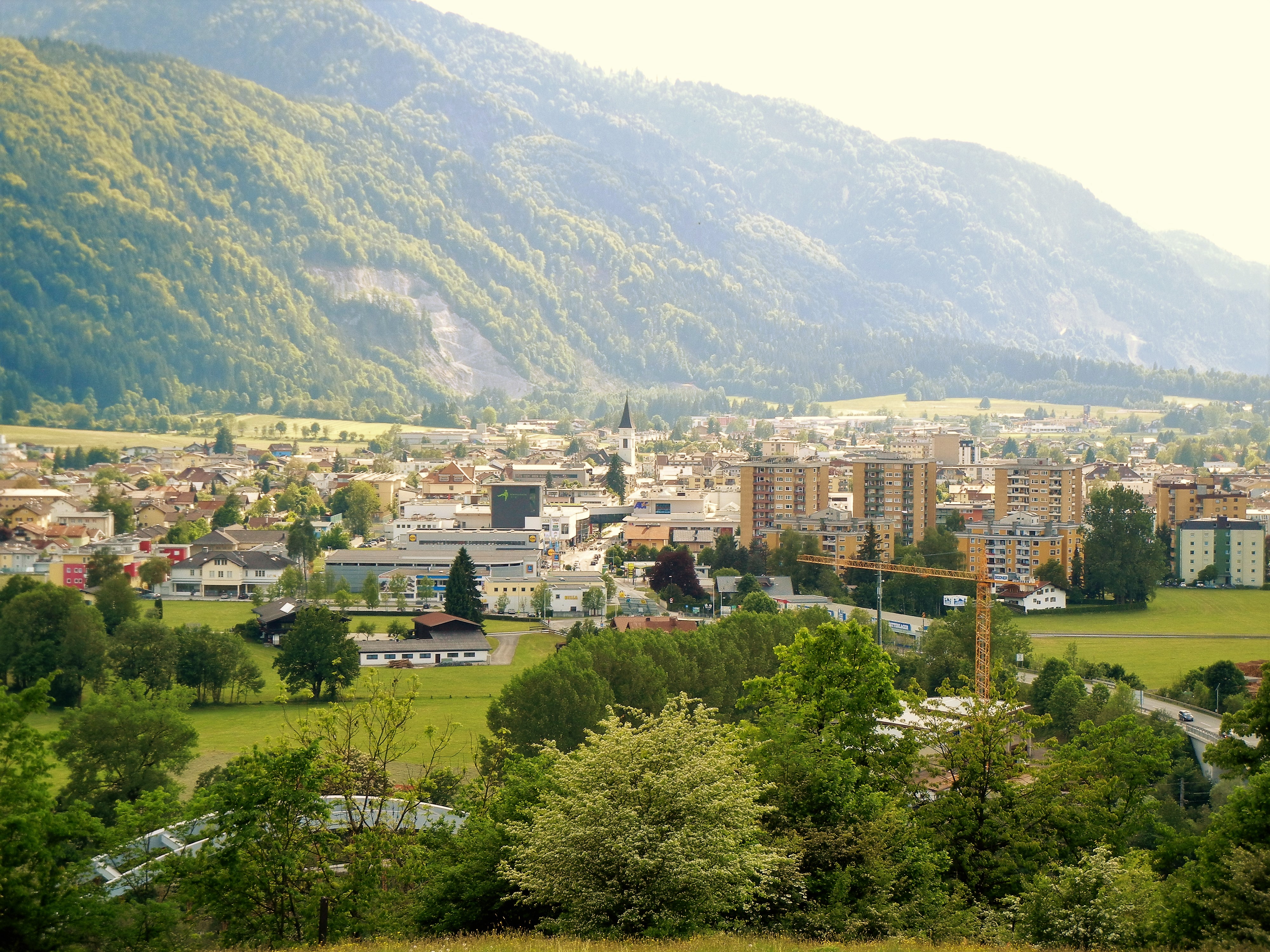
A rail-junction and shopping town where the Brixental meets the Inn valley, remembered for its Depression-era local-currency experiment.
Photo: Thom16 · CC BY-SA 3.0 licence
- 3Highlights
- 44Routes
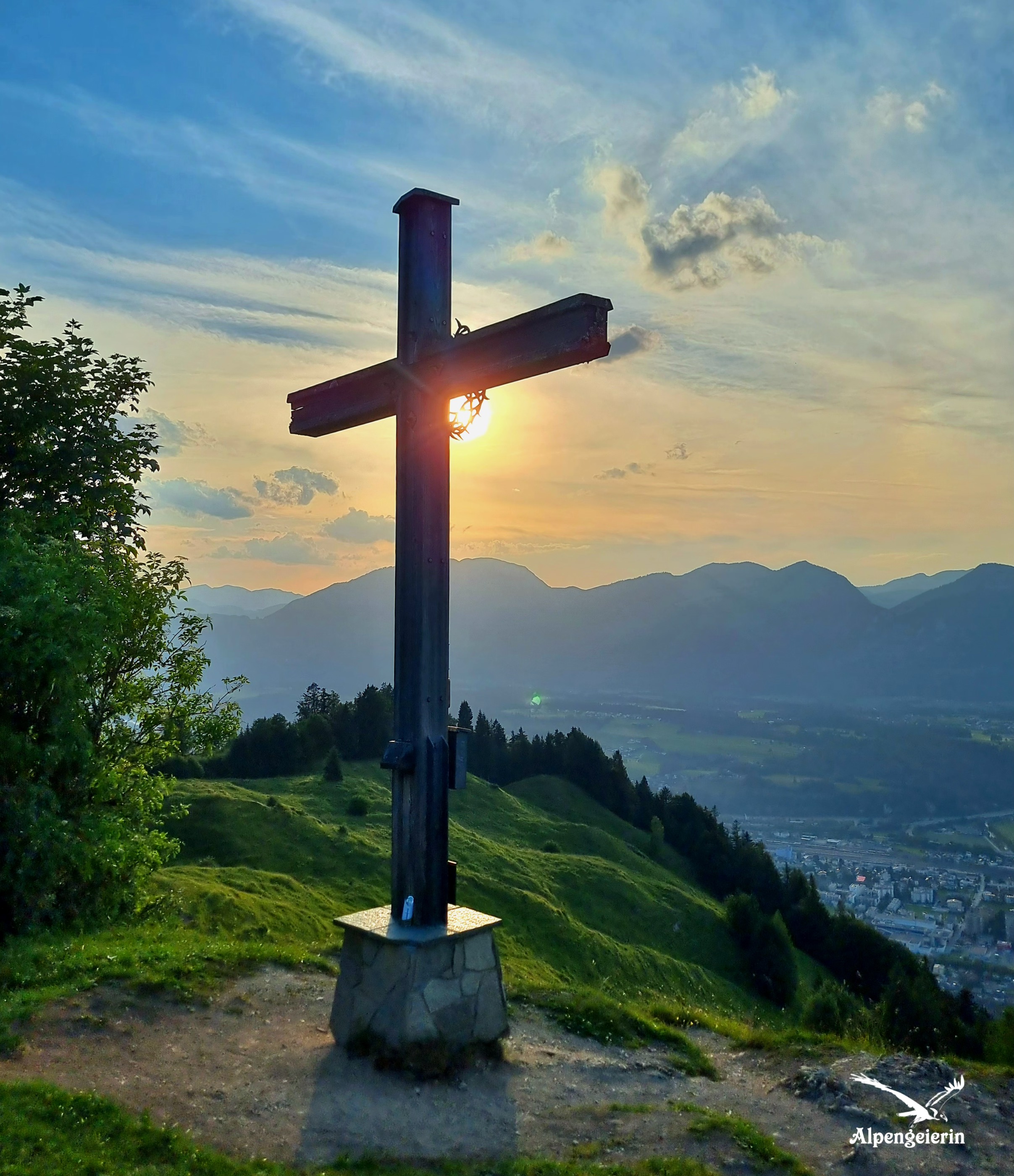
- Featured summit · Möslalmkreuz
Highlights
12 from neighbouring places
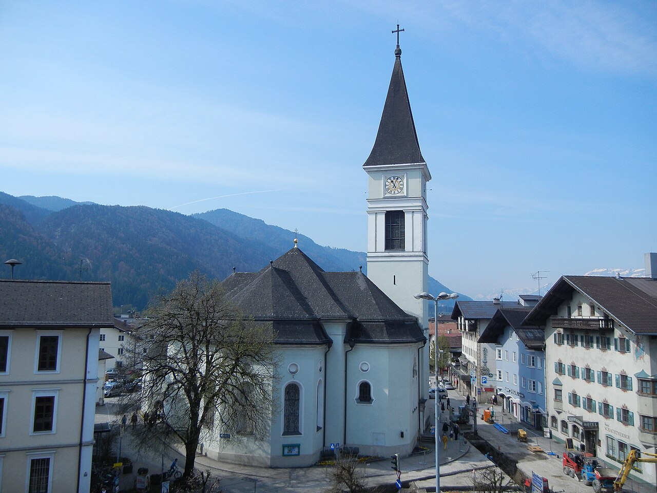
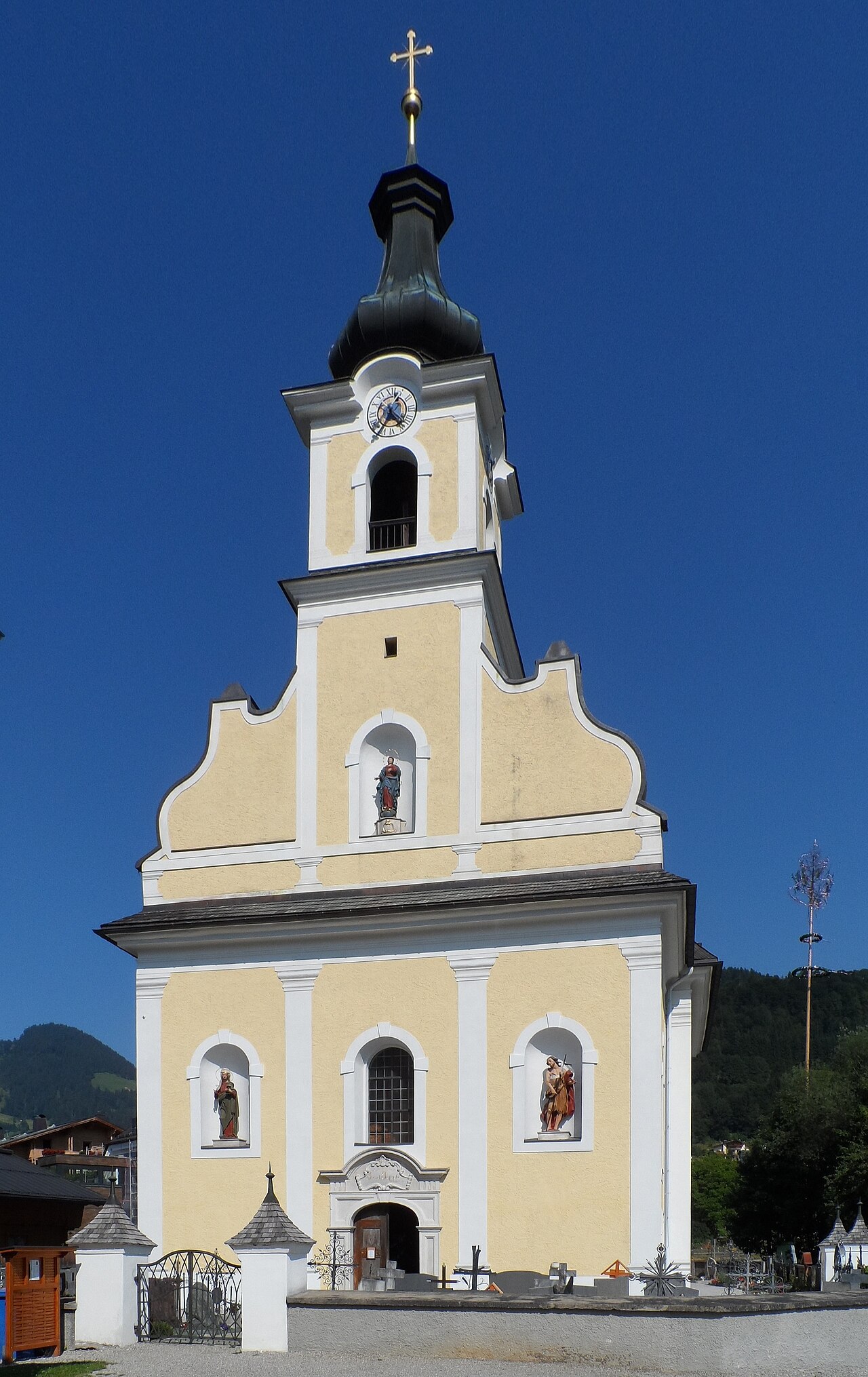
Stadtpfarrkirche Wörgl
The main parish church of Wörgl, serving the Inn valley town that grew around the rail junction between Innsbruck and Kitzbühel.
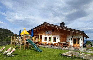
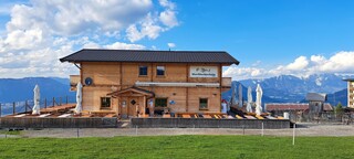
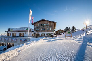
Almgasthof Möslalm
An alm inn in the hills above Wörgl in the Kitzbüheler Alpen, a walking destination serving traditional Tyrolean food on the mountain pastures.
Galerie am Stadtplatz
An art gallery on the town square of Wörgl, staging changing exhibitions of regional and contemporary work.
Jausenstation Zauberwinkl
2.6 km away, in Wildschönau
A snack station on the slopes of the Wildschönau serving simple Tyrolean fare to walkers; the name means roughly 'magic corner'.
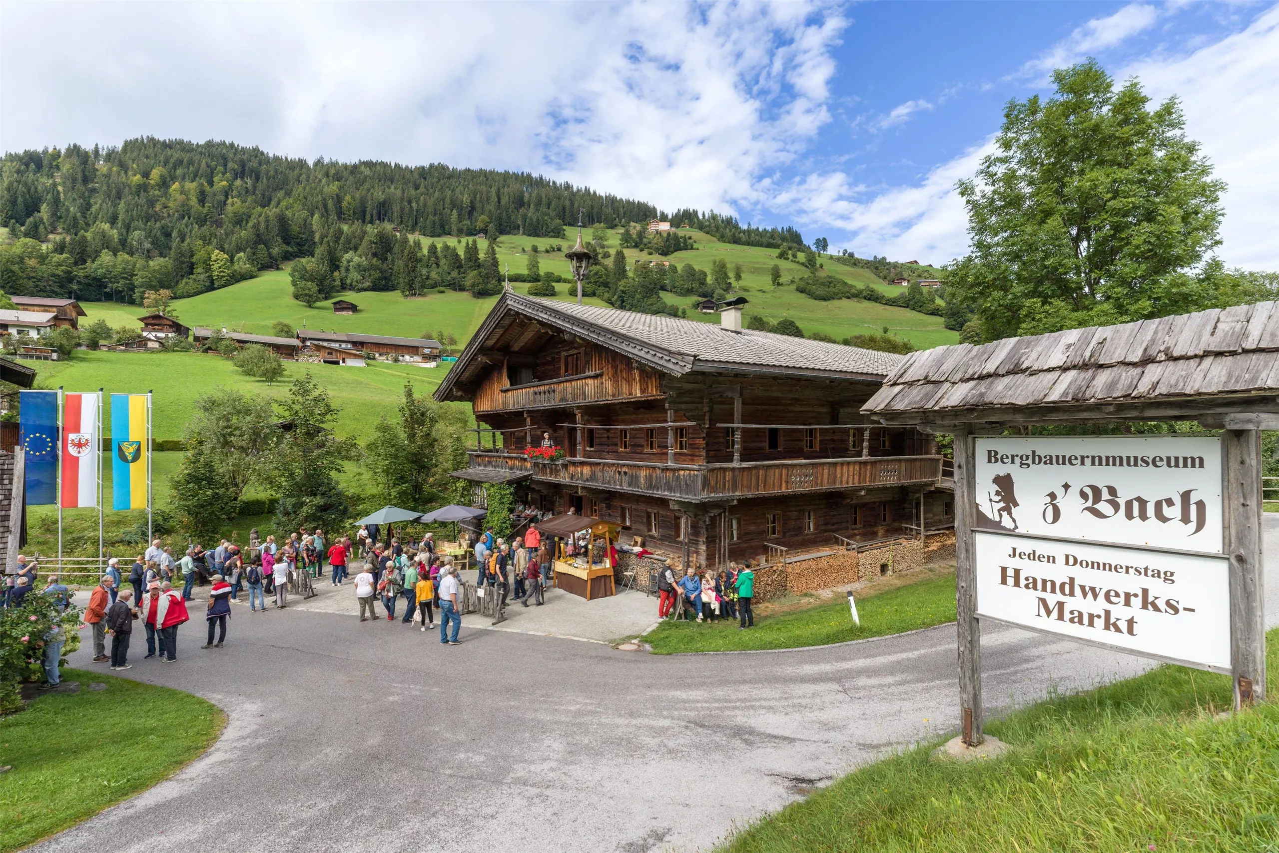
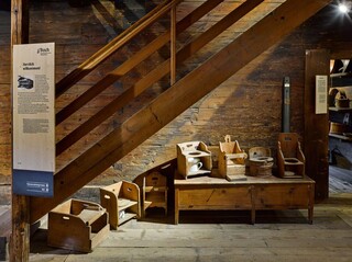
Bergbauernmuseum z'Bach Wildschönau
3.2 km away, in Wildschönau
A mountain-farming museum in an old farmhouse in the Wildschönau high valley, showing tools, living quarters and the working year of Tyrolean hill farmers.
Bergbauernmuseum z`Bach
3.2 km away, in Wildschönau
A mountain-farming museum in the Wildschönau, set in an old farmstead near Oberau and furnished as it was worked a century ago.
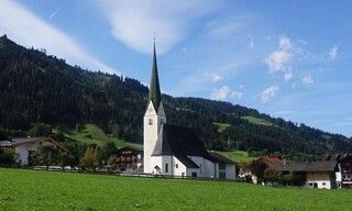
Pfarrkirche Niederau
3.6 km away, in Wildschönau
The parish church of Niederau, serving the lowest-lying of the Wildschönau's four church villages.
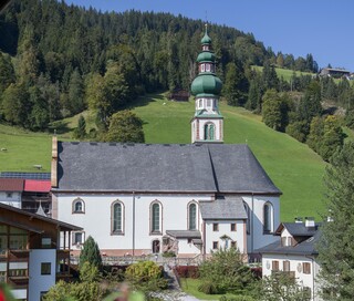
Pfarrkirche Oberau
4.2 km away, in Wildschönau
The parish church of Oberau, standing at the centre of the Wildschönau's main village in the high valley above Wörgl.
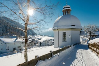
Antoniuskapelle
4.4 km away, in Wildschönau
A chapel dedicated to St Anthony in the Wildschönau near Oberau, one of the small devotional buildings scattered across the high valley.
Norderberg Alm
4.8 km away, in Wildschönau
A pasture hut on the Norderberg side of the Wildschönau above Oberau, serving alm fare to walkers in the summer season.
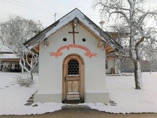
Dattlkapelle
5 km away, in Breitenbach am Inn
A farm chapel known as the Dattlkapelle near Breitenbach am Inn, part of the dense chapel landscape of the lower Inn valley.
Pfarrkirche Itter
5.4 km away, in Itter
The parish church of Itter, standing near the village castle on a terrace above the mouth of the Brixental valley.
rITTERspielplatz
5.4 km away, in Itter
A knight-themed playground in Itter whose name plays on the village name, with wooden play equipment below Schloss Itter.
Markbachjoch Alm
5.4 km away, in Hopfgarten im Brixental
An alm hut at the Markbachjoch above Niederau in the Wildschönau, near the top station of the Markbachjoch lift at around 1,500 m.
Rübezahl Hütte
5.5 km away, in Wildschönau
A hut above Niederau in the Wildschönau named after the mountain spirit Rübezahl, serving walkers and skiers on the Markbachjoch side of the valley.
Nothing of this kind in Wörgl.
Routes
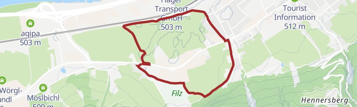
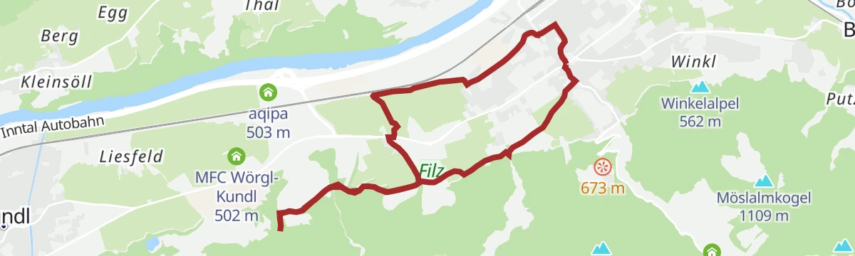
Freigeld Rundweg
Flat town loop with information boards on Wörgl's 1932 local-currency experiment, starting near the Tourist Information.
- 5.1 km
- Distance
- 52 m
- Ascent
- 1 h 19 min
- Duration
- 2
- Check-ins
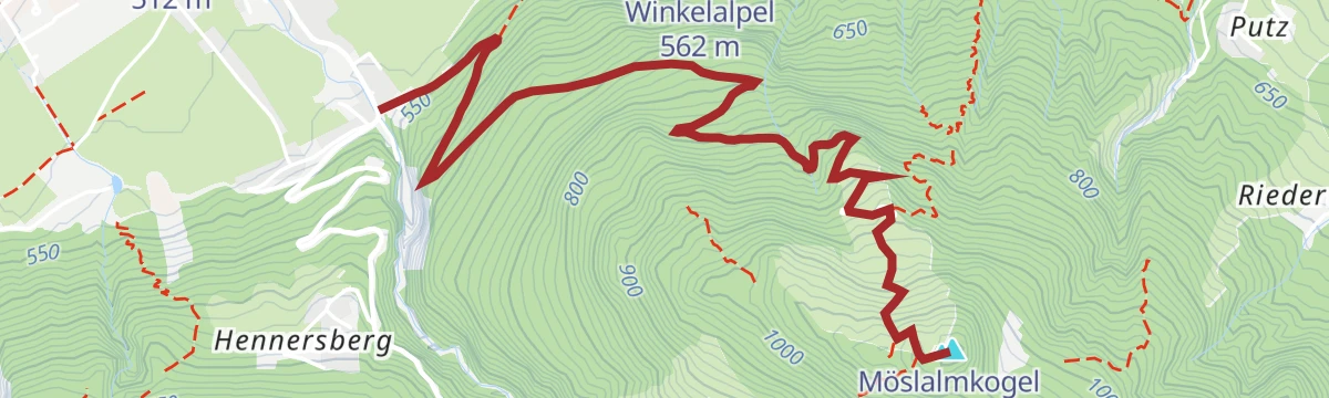
von Hopfgarten über Möslalmkogel nach Wörgl
Ridge crossing from Hopfgarten to Wörgl over the Möslalmkogel and Riederberg, dropping past the Almgasthof Möslalm on the descent.
- 14.8 km
- Distance
- 609 m
- Ascent
- 4 h 59 min
- Duration
- 28
- Check-ins
Niederau-Möslalm
A ride from Niederau over the Riederberg to the Almgasthof at 960 m, with a return along the valley past the Hexenhäusl.
- 14.5 km
- Distance
- 620 m
- Ascent
- 1 h 52 min
- Duration
- 12
- Check-ins
Radwanderweg Wilder Kaiser Nr. 14
A waymarked route along the southern foot of the Wilder Kaiser, from the Inn valley at Bruckhäusl up to Ellmau at around 800 m.
- 38.1 km
- Distance
- 473 m
- Ascent
- 3 h 46 min
- Duration
- 17
- Check-ins
Bike & Hike Möslalmkogel
A short, steep ride up to the Almgasthof Möslalm at 960 m, from where the summit cross above is reached on foot.
- 4.1 km
- Distance
- 571 m
- Ascent
- 1 h 16 min
- Duration
- 19
- Check-ins
Rennrad 01 Alpbachtal Giro
A big road day from the lower Inn valley over the Kerschbaumer Sattel at 1,113 m, with the lakes near Kramsach at start and finish.
- 117.2 km
- Distance
- 2 003 m
- Ascent
- 12 h 17 min
- Duration
- 58
- Check-ins
Gießen Runde
Entirely flat short round on Wörgl's valley floor, following field and riverside paths past the Schützengilde grounds.
- 4.0 km
- Distance
- 21 m
- Ascent
- 60 min
- Duration
- 1
- Check-ins
Möslalmkogel über Wörgl
From Wörgl a steady 570 m climb to the Almgasthof Möslalm and the summit cross above it, with the Jausenstation Schrofen as an alternative stop.
- 10.3 km
- Distance
- 570 m
- Ascent
- 4 h 3 min
- Duration
- 18
- Check-ins
Rundweg Möslalm - Pfaffenberg (MTB 337)
A circuit on the wooded hills above Wörgl over the Riederberg, with the Almgasthof Möslalm at the high point of the loop.
- 9.7 km
- Distance
- 528 m
- Ascent
- 1 h 26 min
- Duration
- 9
- Check-ins
1. Etappe KAT Bike E-njoy
The opening stage of a multi-day e-bike route, running from the Inn valley at Wörgl over Angerberg and Mariastein into the Brixental.
- 53.0 km
- Distance
- 1 766 m
- Ascent
- 6 h 22 min
- Duration
- 13
- Check-ins
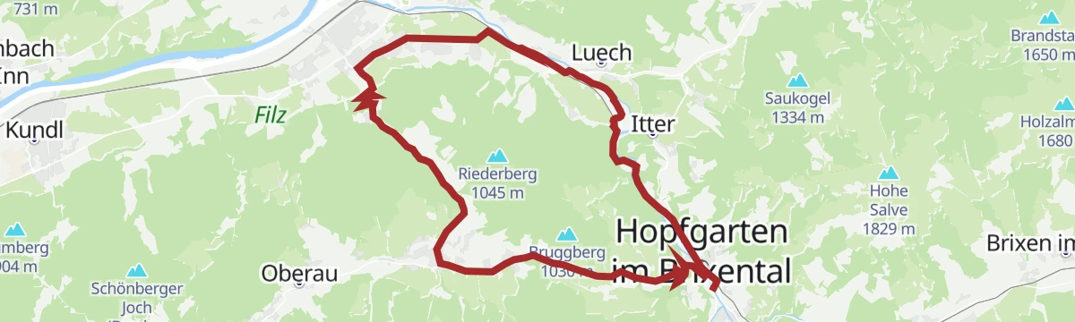
Rennrad 08 Pölvenrunde
A long road circuit from the lower Inn valley over to Hopfgarten in the Brixental, returning by Mariastein and Angerberg.
- 82.2 km
- Distance
- 1 004 m
- Ascent
- 8 h 14 min
- Duration
- 50
- Check-ins
Hennersbergrunde
Short, punchy loop above Wörgl — a quick 150 m of climbing buys a look over the town and the Inn valley.
- 2.5 km
- Distance
- 154 m
- Ascent
- 1 h 4 min
- Duration
Wanderung Möslalm-Pfaffenberg-Bruckhäusl
One-way route from the Almgasthof Möslalm over the Pfaffenberg slopes and the Riederberg down to Bruckhäusl — a quiet back-door descent toward the Brixental.
- 10.6 km
- Distance
- 551 m
- Ascent
- 3 h 59 min
- Duration
- 11
- Check-ins
Wörgl - Zauberwinkel (MTB 355)
A steady climb from the Inn valley up to the Zauberhütte at 991 m, some 570 m of height gain on forest roads.
- 14.8 km
- Distance
- 576 m
- Ascent
- 1 h 51 min
- Duration
- 1
- Check-ins
Zauberwinkel Runde
A long loop dropping to the mouth of the Kundler Klamm at 560 m before climbing back past the Zauberhütte to the Almhof at 1,122 m.
- 43.4 km
- Distance
- 1 110 m
- Ascent
- 4 h 54 min
- Duration
- 5
- Check-ins
01A - Seenrundfahrt - Variante Brandenberg
A long road loop through the lower Inn valley and up the side valley to Brandenberg, taking in the small lakes around Kramsach.
- 90.9 km
- Distance
- 1 593 m
- Ascent
- 9 h 34 min
- Duration
- 39
- Check-ins
Lechner Wasserfall Runde
Mostly level round from Wörgl to the Lechner waterfall, passing fishing ponds and the Schützengilde grounds on the way out of town.
- 10.3 km
- Distance
- 117 m
- Ascent
- 2 h 42 min
- Duration
- 4
- Check-ins
 Tourist Information 512 m
- Schützengilde Wörgl 509 m
 Anglerteich 510 m
Zauberwinkelweg nach Wörgl
A short, level path following the Zauberwinkel down into Wörgl on the valley floor.
- 7.5 km
- Distance
- 68 m
- Ascent
- 44 min
- Duration
Innradweg Kufstein - Hall
A near-level valley route along the Inn between Kufstein and Hall in Tirol, following the river past Kundl, Rotholz and Pill.
- 72.3 km
- Distance
- 90 m
- Ascent
- 6 h 28 min
- Duration
- 4
- Check-ins
Rennrad 07 Kufstein Festungsrunde
A long road loop down the Inn valley to the fortress town of Kufstein and back, starting from the lakes near Kramsach.
- 75.9 km
- Distance
- 650 m
- Ascent
- 7 h 21 min
- Duration
- 38
- Check-ins
Fuchsweg
Half-day round from Wörgl onto the Winkelalpel, climbing through mixed forest with roughly 400 m of gain and long Inn valley views.
- 10.7 km
- Distance
- 406 m
- Ascent
- 3 h 31 min
- Duration
- 3
- Check-ins
06 - Hochtal-Tour Schönangeralm
A long day from the Inn valley at Kufstein into the Wildschönau, climbing the high valley to the Schönangeralm at 1,172 m before the return.
- 81.3 km
- Distance
- 1 376 m
- Ascent
- 8 h 30 min
- Duration
- 36
- Check-ins
Rundweg Zauberwinkel
Forest circuit above Wörgl into the Zauberwinkel corner, climbing past the Jagdhütte Schneiderwies before rolling back down to town.
- 9.0 km
- Distance
- 530 m
- Ascent
- 3 h 42 min
- Duration
- 2
- Check-ins
06A - Variante Hochtal-Runde
A tougher variant of the Wildschönau circuit, adding height on the way to the Schönangeralm and passing the Feldalm and Gasthof Oberstegen.
- 80.7 km
- Distance
- 1 715 m
- Ascent
- 8 h 47 min
- Duration
- 36
- Check-ins
Zauberwinkelweg nach Wörgl
A gentle descent from the Wildschönau to Wörgl in the Inn valley, passing the Zauberhütte where the path leaves the high ground.
- 7.5 km
- Distance
- 47 m
- Ascent
- 2 h 16 min
- Duration
- 1
- Check-ins
Rennradrunde - Reintaler Seen
A long road circuit from the Inn valley up to the lakes above Kramsach, with inns and campsites along the shore.
- 69.9 km
- Distance
- 655 m
- Ascent
- 6 h 49 min
- Duration
- 34
- Check-ins
Rennrad 03 Angerberg
A road tour from the lakes at Kramsach onto the terrace above the lower Inn valley, returning through Rattenberg and Brixlegg.
- 59.3 km
- Distance
- 473 m
- Ascent
- 5 h 42 min
- Duration
- 33
- Check-ins
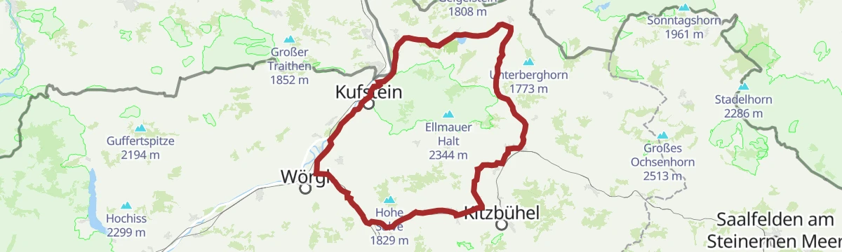
Rund um die Hohe Salve Grand Tour
The long version of the loop around the Salve massif, taking in Ellmau and the villages of the Brixental over more than 80 km.
- 84.8 km
- Distance
- 1 044 m
- Ascent
- 8 h 31 min
- Duration
- 28
- Check-ins
Gravelbiketour: Reintaler Seenrunde
A gravel loop out of Kundl to the lakes at Kramsach, running past Toni's Seealm and the shoreline campsites before the valley return.
- 62.9 km
- Distance
- 558 m
- Ascent
- 6 h 6 min
- Duration
- 25
- Check-ins
Wilde Kaiser Rennrad Runde
A full day on the road from Scheffau round to Walchsee and back through Kufstein, a circuit of the whole massif on valley roads.
- 95.3 km
- Distance
- 914 m
- Ascent
- 9 h 19 min
- Duration
- 24
- Check-ins
Rennradtour: Große Wildschönaurunde
A road tour from Hopfgarten climbing to the Schönangeralm at 1,172 m, then dropping through Niederau and back down the valley.
- 53.9 km
- Distance
- 1 308 m
- Ascent
- 6 h 1 min
- Duration
- 23
- Check-ins
06B - Hochtal-Tour Horler Stiegl
A big day between the Inn valley at Kufstein and the Wildschönau, climbing to around 880 m at Niederau before the return along the river.
- 73.6 km
- Distance
- 1 617 m
- Ascent
- 8 h 3 min
- Duration
- 20
- Check-ins
Radwanderweg Wilder Kaiser Nr. 14
A family tour from Wörgl station along the terrace below the Kaiser peaks as far as Ellmau, with the Waldhof Alm en route.
- 37.5 km
- Distance
- 435 m
- Ascent
- 3 h 44 min
- Duration
- 18
- Check-ins
14 | Radweg Wilder Kaiser
A cycle route along the foot of the Kaiser range from Wörgl up through Söll and Ellmau, passing the Ellmauer Alm.
- 38.0 km
- Distance
- 585 m
- Ascent
- 3 h 55 min
- Duration
- 17
- Check-ins
Inntaler Seen Runde
A road tour dropping from the Wildschönau to the campsites by the lakes at 575 m, then climbing over 1,200 m back to the Almhof.
- 53.1 km
- Distance
- 1 209 m
- Ascent
- 5 h 51 min
- Duration
- 16
- Check-ins
Stallhäuslrunde
A hill circuit above the Inn and Brixental valleys, climbing from Bruckhäusl to the Stallhäusl at 972 m and back down by Hopfgarten.
- 28.6 km
- Distance
- 765 m
- Ascent
- 3 h 16 min
- Duration
- 12
- Check-ins
- Stallhäusl 972 m
- Tourismusbüro 592 m
- Jagdhüttn 886 m
- Fischteich 586 m
Wildschönauer Rennrad Runde
A road loop from Hopfgarten up to Niederau, returning by way of Bruckhäusl at the mouth of the valley, with 700 m of climbing.
- 36.1 km
- Distance
- 706 m
- Ascent
- 3 h 52 min
- Duration
- 12
- Check-ins
21 | Brixentalradweg
A valley cycle path down the Brixental from Kitzbühel past Brixen im Thale and Hopfgarten to Wörgl in the Inn valley.
- 46.6 km
- Distance
- 762 m
- Ascent
- 4 h 51 min
- Duration
- 11
- Check-ins
- Tourismusverband 786 m
- Erlensee 787 m
- Tourist Information 820 m
- Rotes Kreuz Bezirksstelle Kitzbühel 791 m
- Fischteich 586 m
Brixentalradweg Nr. 21
A valley cycle path down the Brixental from Brixen im Thale to Wörgl, passing the Erlensee and the Haslau waterfall.
- 44.1 km
- Distance
- 661 m
- Ascent
- 4 h 32 min
- Duration
- 9
- Check-ins
- Tourismusverband 786 m
- Erlensee 787 m
- Tourist Information 820 m
- Fischteich 586 m
Thierseerunde
A long circuit north of the Inn through the Thiersee basin, crossing the Marblinger Höhe and reaching the Kaiserhaus in the Brandenberg valley.
- 78.1 km
- Distance
- 1 462 m
- Ascent
- 8 h 19 min
- Duration
- 9
- Check-ins
Innradweg - Tiroler Unterland - Radwanderroute 2
A long day on the Inn valley cycle route, running downstream from Innsbruck through Hall in Tirol to Rattenberg, Brixlegg and Kundl.
- 99.6 km
- Distance
- 95 m
- Ascent
- 8 h 58 min
- Duration
- 5
- Check-ins
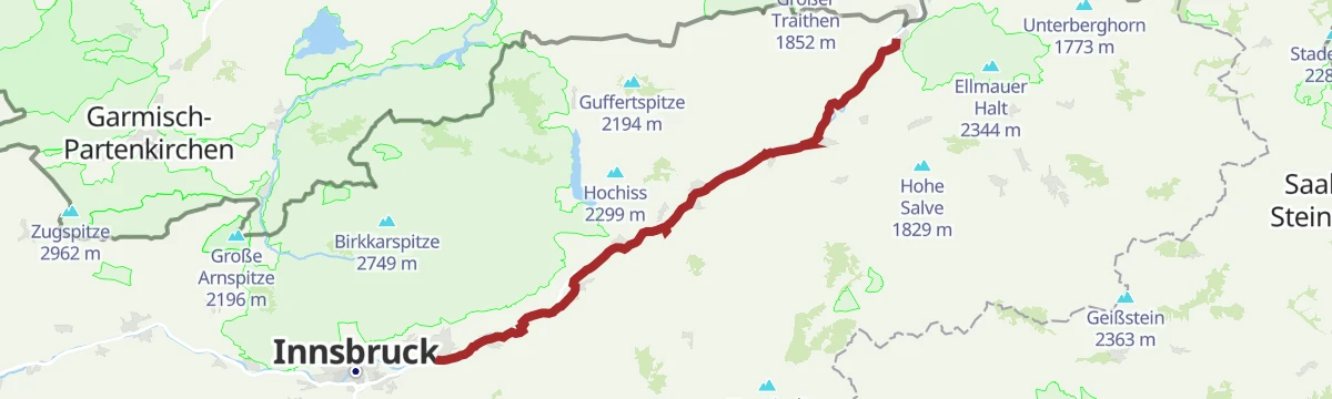
Innradweg von Innsbruck bis Wörgl
A near-flat run downstream along the Inn from Innsbruck to Wörgl, passing Hall in Tirol and the villages of the lower valley.
- 68.5 km
- Distance
- 268 m
- Ascent
- 6 h 20 min
- Duration
- 3
- Check-ins
Rennradtour: Kleine Wildschönaurunde
A short road round from the Inn valley up to Niederau in the Wildschönau, returning by Hopfgarten in the Brixental.
- 23.5 km
- Distance
- 466 m
- Ascent
- 2 h 31 min
- Duration
- 3
- Check-ins
Innradweg von Wörgl bis Kufstein
A flat stretch of the Inn cycle path through Kirchbichl, following the river downstream from Wörgl to Kufstein.
- 17.3 km
- Distance
- 102 m
- Ascent
- 1 h 38 min
- Duration
No routes of this kind in Wörgl yet.
The region's own picks

Featured route
Freigeld Rundweg
Flat town loop with information boards on Wörgl's 1932 local-currency experiment, starting near the Tourist Information.
Planning a trip to Wörgl?
Everything else Tyrol has, in one place


Take Wörgl with you into the mountains
Every route on this page with 3D terrain, GPX navigation and offline maps — including the valleys with no signal.
Data sources
- Official website: kitzbueheler-alpen.com ↗
- Routes and highlights: Kitzbüheler Alpen Tourismus, Alpbachtal Tourismus, Wildschönau Tourismus, Kufsteinerland, Wilder Kaiser Tourismus, Kitzbühel Tourismus, Region Hall-Wattens
- Published as open data by the tourist boards named above.
- Region summary generated from the board's own material.
