
Curated by Region Seefeld
Wildermieming
Farm villages on the Mieming plateau at about 860 m under the Mieminger range, a filming location of the Bergdoktor television series.
- 2Highlights
- 36Routes
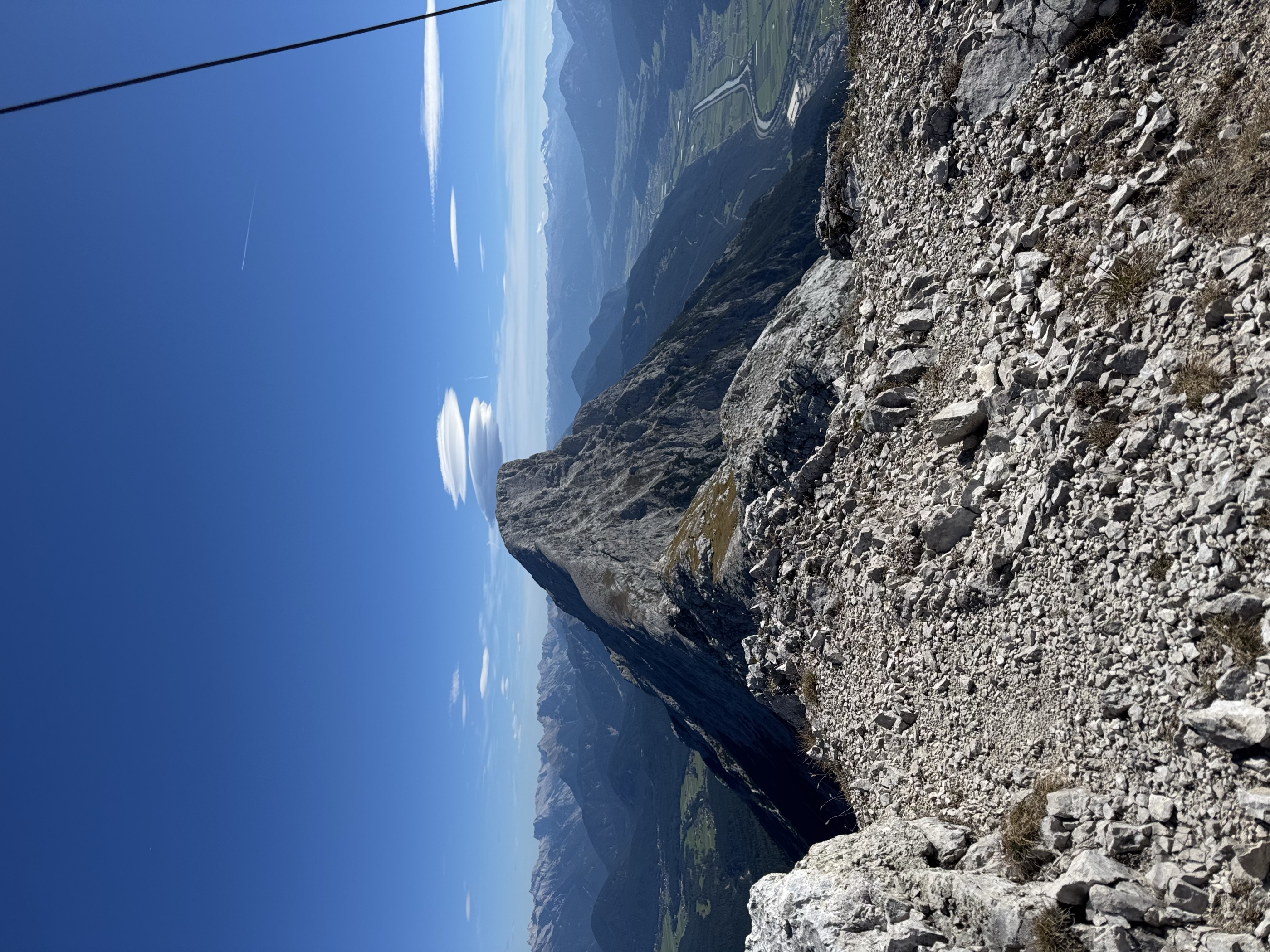
- Featured summit · Hohe Munde Westgipfel
Highlights
13 from neighbouring places
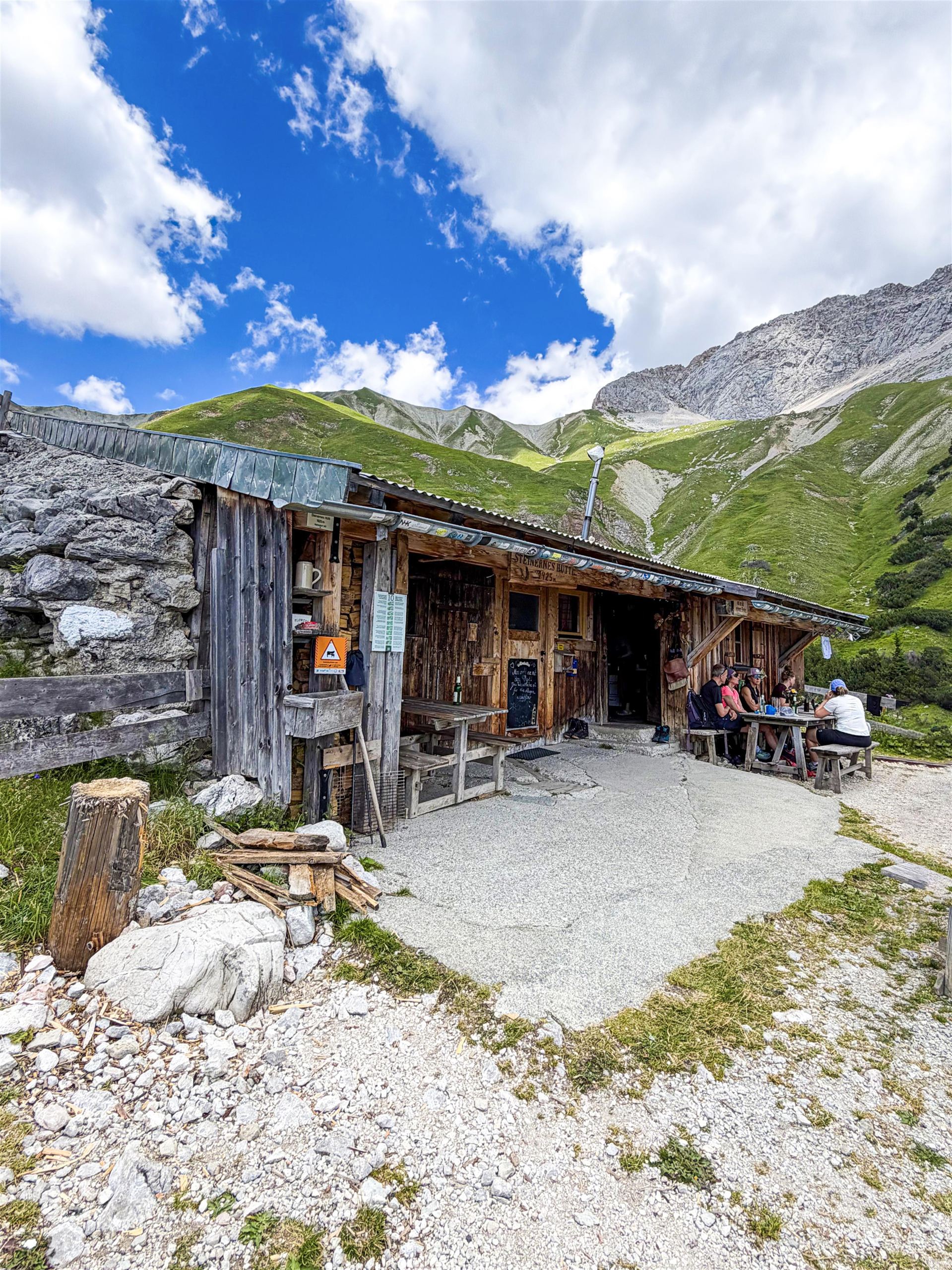
Steinernes Hütt'l
A small stone-built refuge high above the Gaistal near Leutasch, a plain shelter on routes below the Wetterstein range.
Tillfussalm
An alm in the Gaistal above Leutasch beside Ludwig Ganghofer's former hunting lodge, serving walkers on the valley's high tracks.
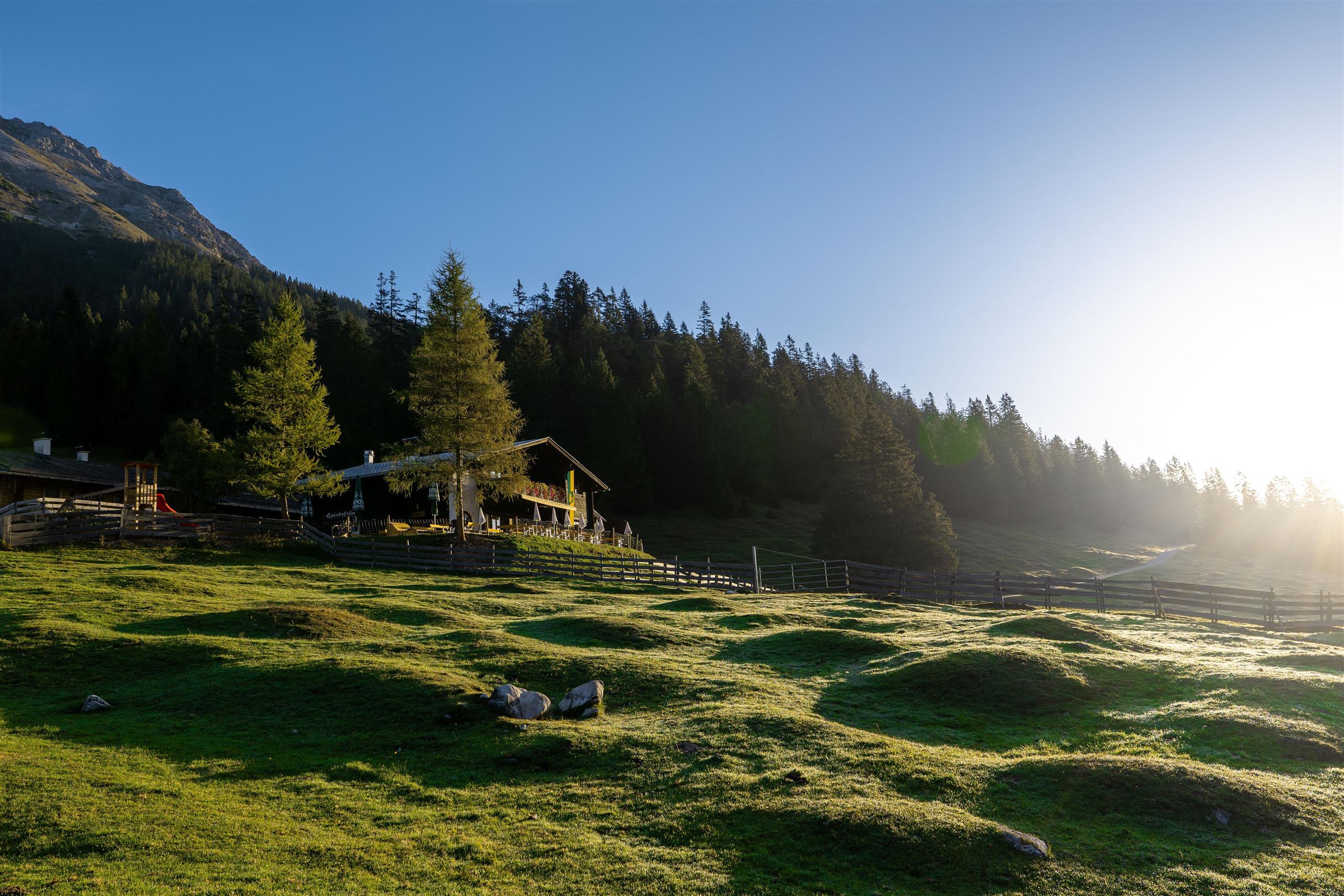
Gaistalalm
2.9 km away, in Leutasch
An alm in the Gaistal above Leutasch along the Leutascher Ache, open in summer and winter and popular with cross-country skiers and walkers.
Hochfeldern Alm
3.9 km away, in Mieming
An alm at about 1,700 m between the Ehrwalder Alm and the Gaistal, on the high route below the Mieming range.
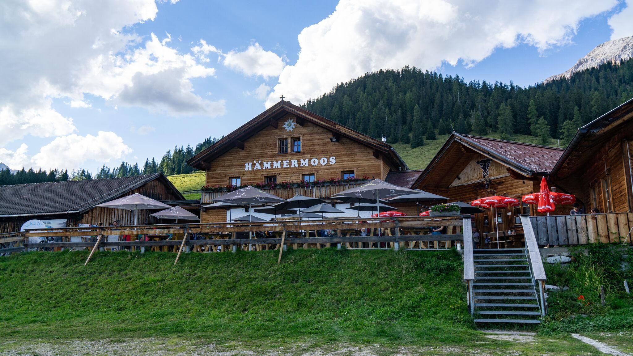
Hämmermoosalm
5.1 km away, in Leutasch
An alm in the Gaistal above Leutasch, serving food at the edge of moor meadows and reachable on the valley's forest tracks.
Rotmoosalm
5.4 km away, in Leutasch
A high alm above the Gaistal near Leutasch, one of the loftier serviced pastures in the area, reached on long walking tracks.
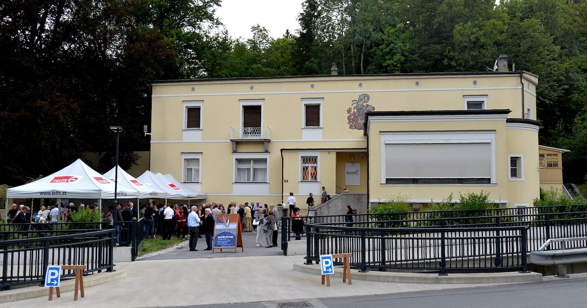
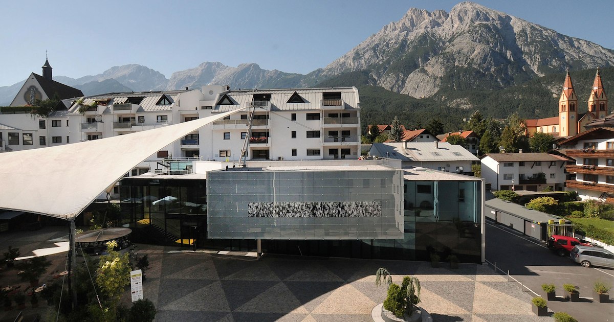
Villa Schindler
6.1 km away, in Telfs
A villa in Telfs (634 m) used today for exhibitions and cultural events, one of the market town's notable historic houses.
Coburger Hütte
6.5 km away, in Mieming
An Alpine Club hut above the Seebensee near Ehrwald, set among the lakes of the Mieming range and a base for the Sonnenspitze.
Rathaussaal Telfs
6.5 km away, in Telfs
The hall of the town hall in Telfs (634 m), used for concerts, theatre and civic events in the market town west of Innsbruck.
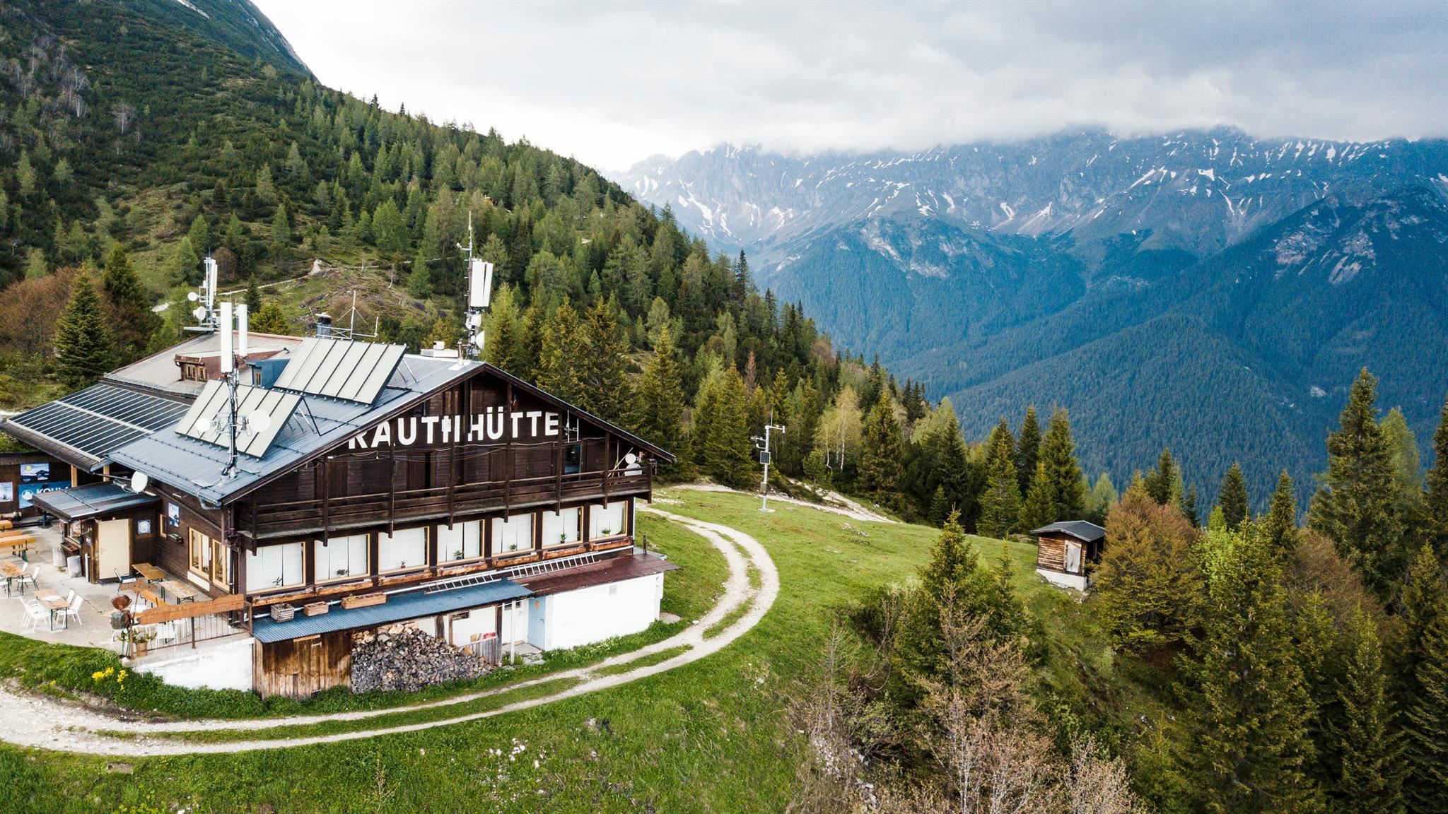
Rauthhütte
6.5 km away, in Leutasch
A hut above Leutasch at the foot of the Hohe Munde, a viewpoint over the valley basin open in both summer and winter.
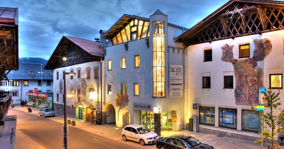
Fasnacht- und Heimatmuseum "Noaflhaus"
6.6 km away, in Telfs
A museum in the Noaflhaus in Telfs on local history and the Schleicherlaufen, the town's large traditional carnival procession.
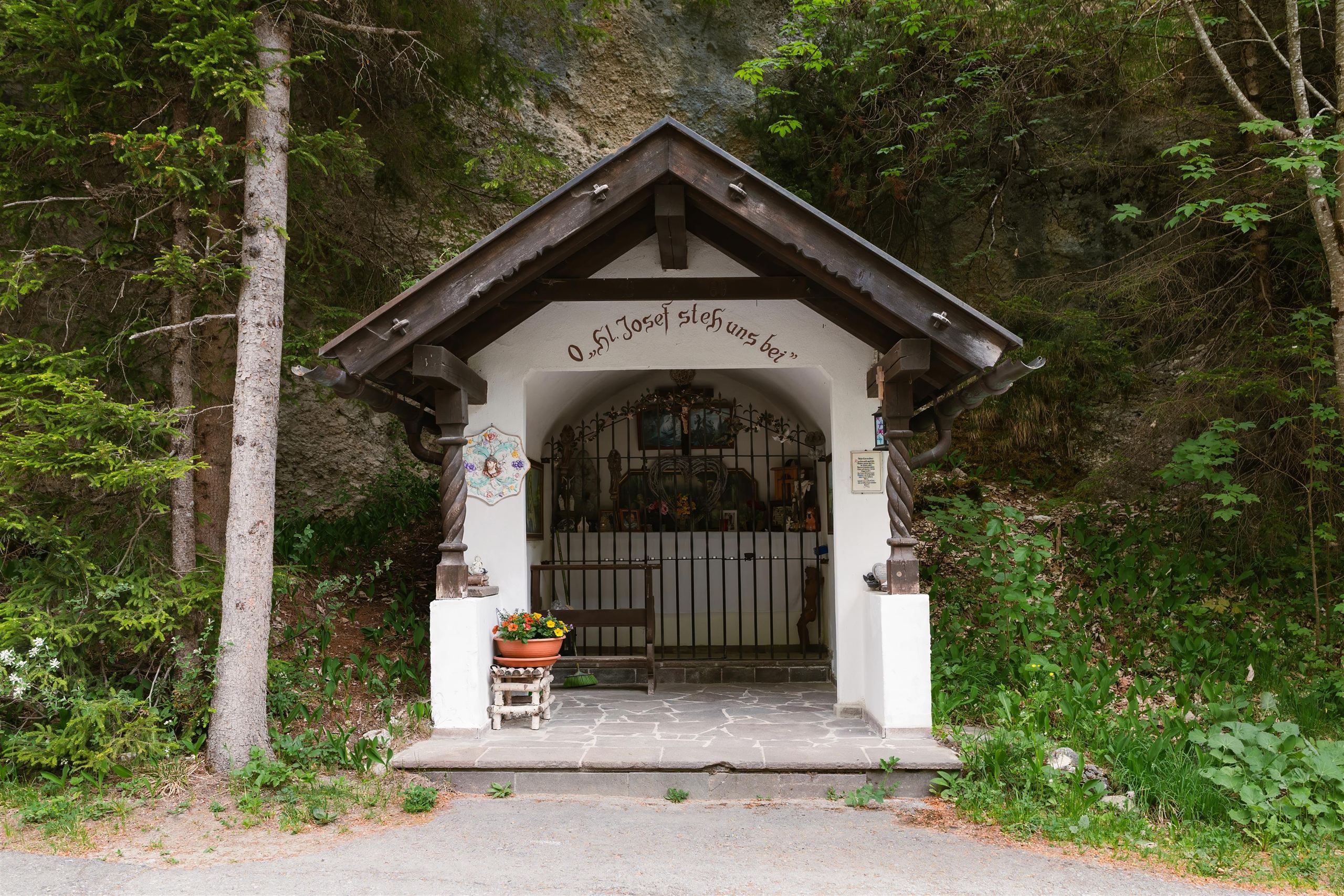
Kapelle in den Öfen
7.1 km away, in Leutasch
A chapel in the Öfen area of Leutasch, named for the rocky narrows nearby, one of the valley's many small shrines.
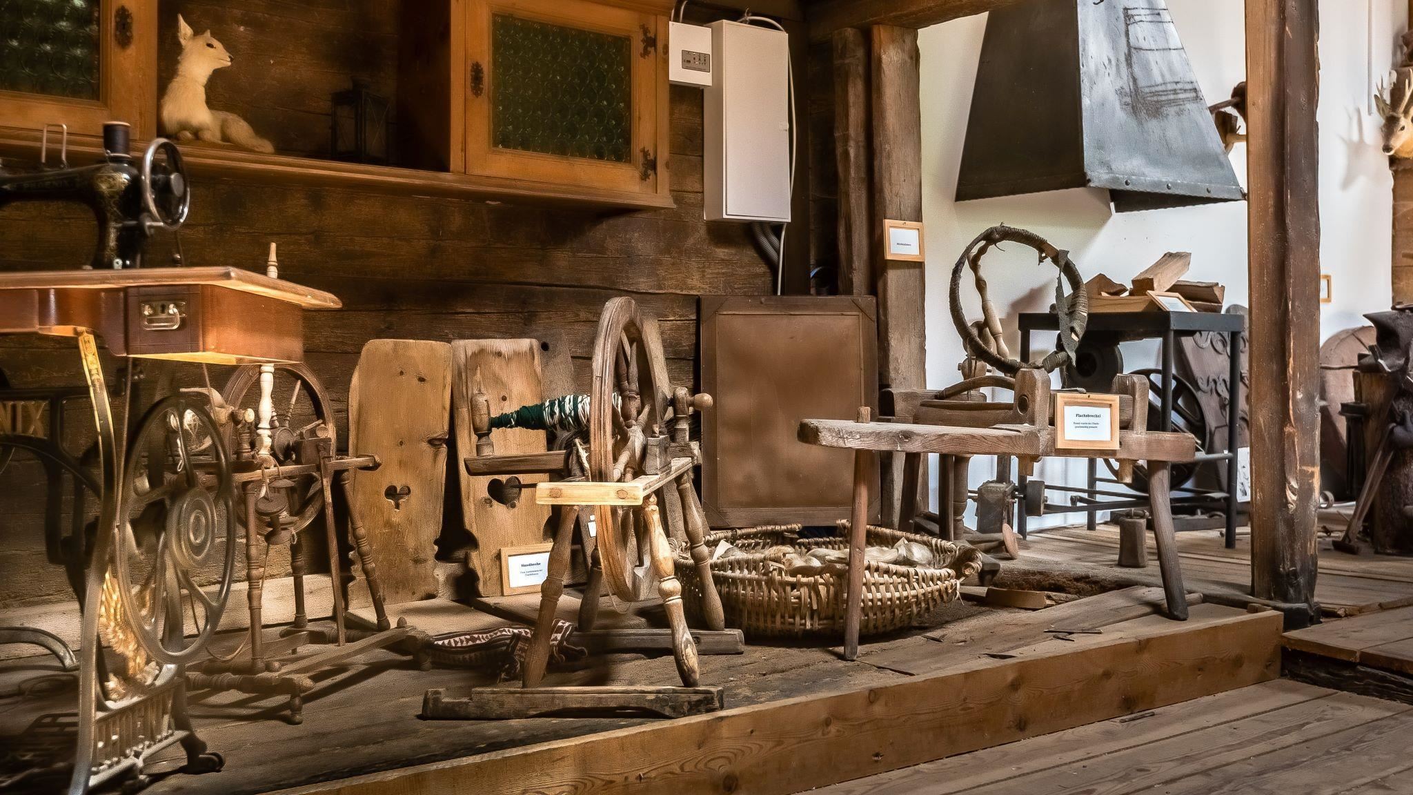
Bergbauernmuseum beim Landgasthof Ropferstub'm
7.3 km away, in Telfs
A private museum of mountain farming at the Ropferstub'm inn south of the Seefeld plateau, showing old tools and rural household gear.
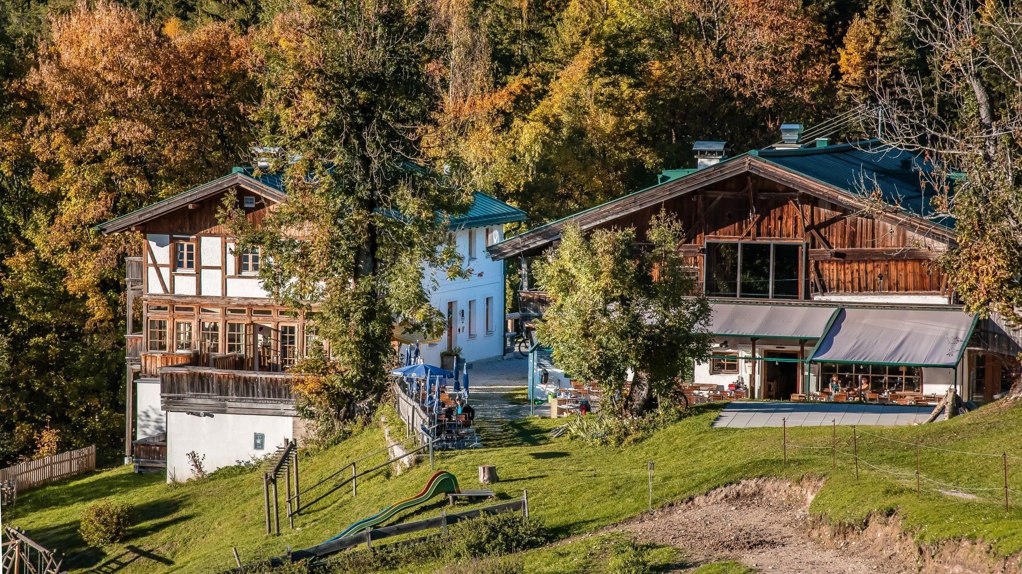
Ropferstub'm, Gasthof
7.3 km away, in Telfs
A country inn between Buchen and Telfs south of the Seefeld plateau, serving Tyrolean cooking with a small farming museum attached.
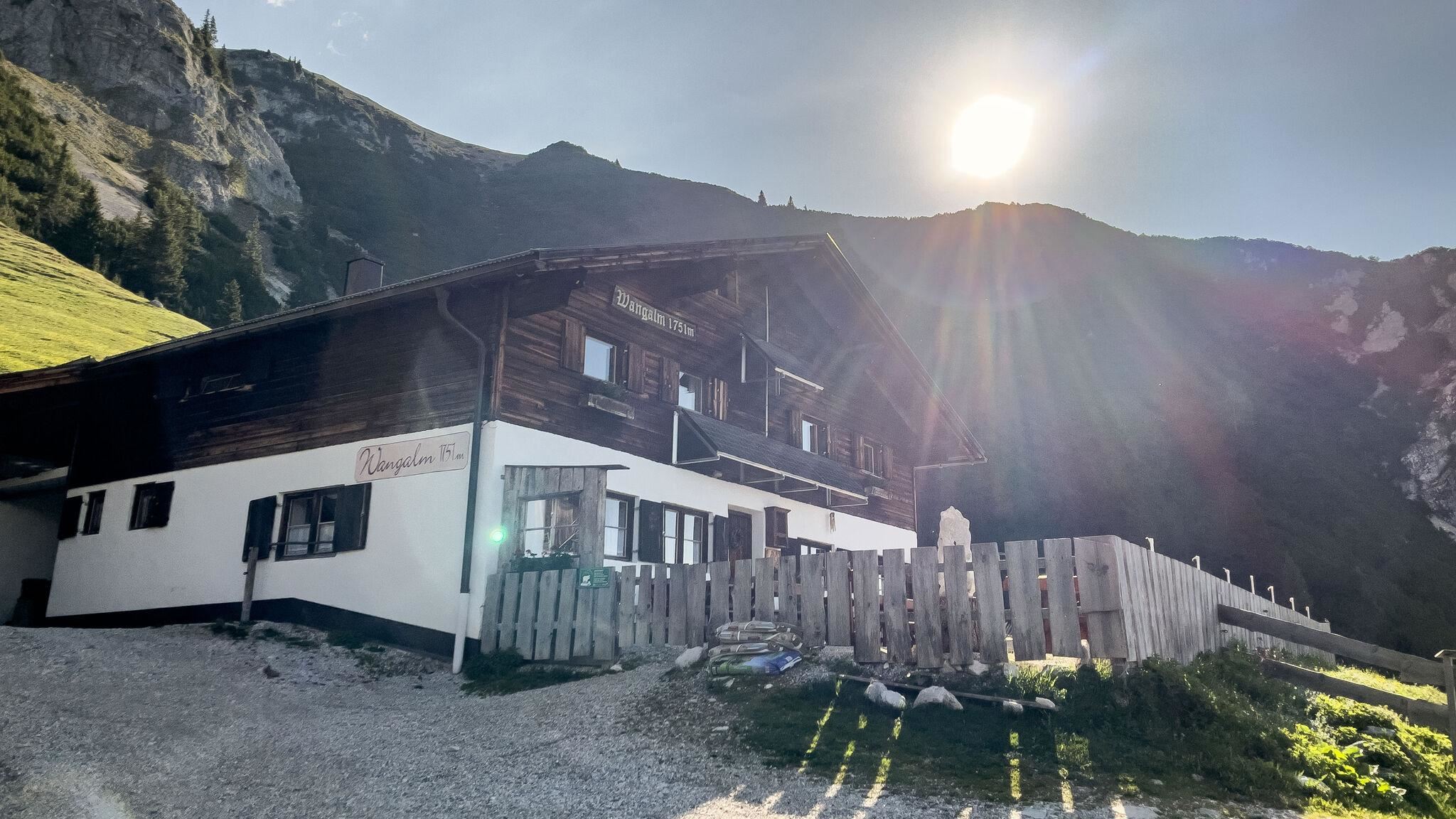
Wangalm
7.5 km away, in Leutasch
An alm below the Wetterstein walls above Leutasch, a serviced pasture hut reached from the Gaistal tracks.
 Mountain hut
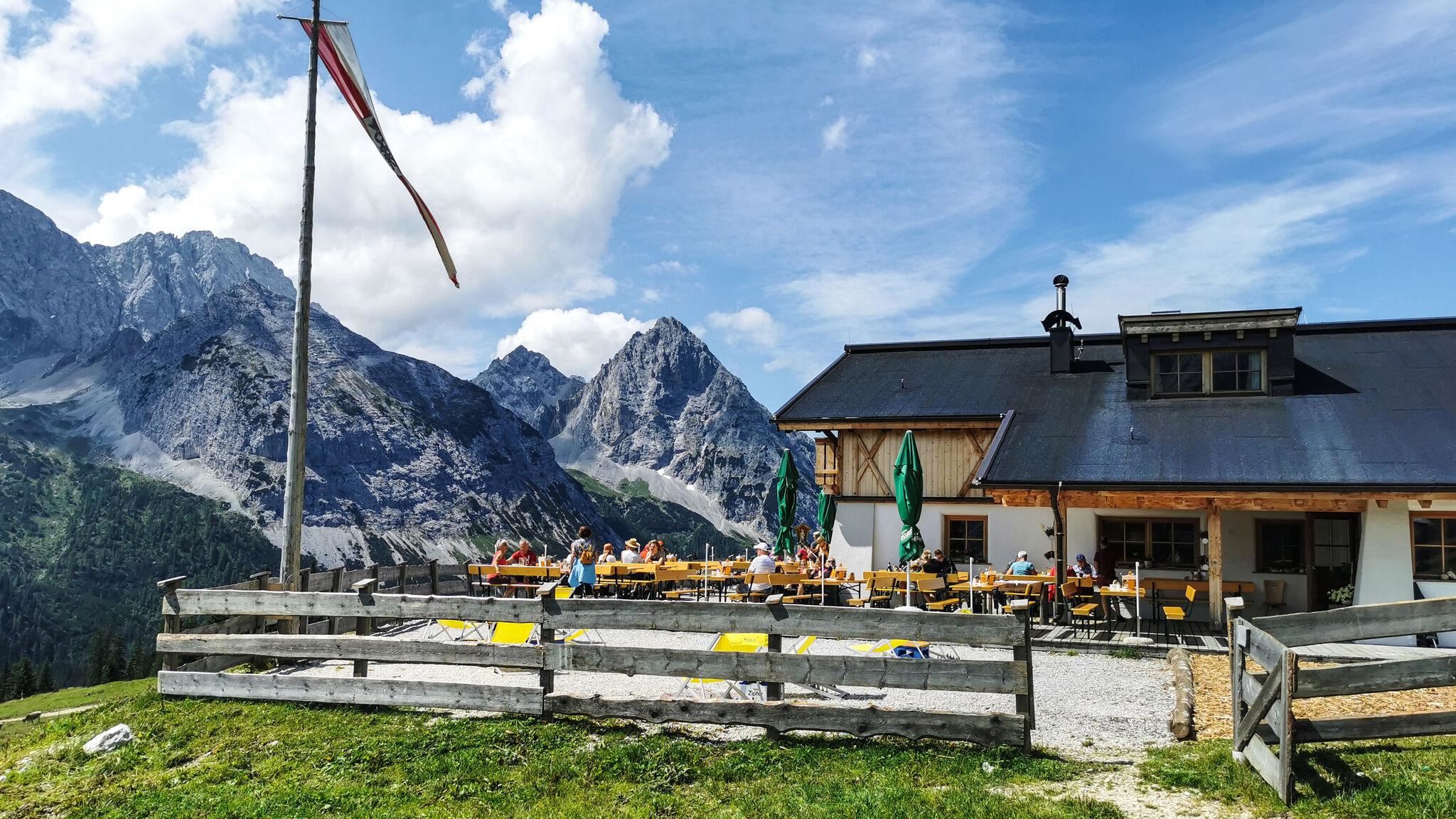
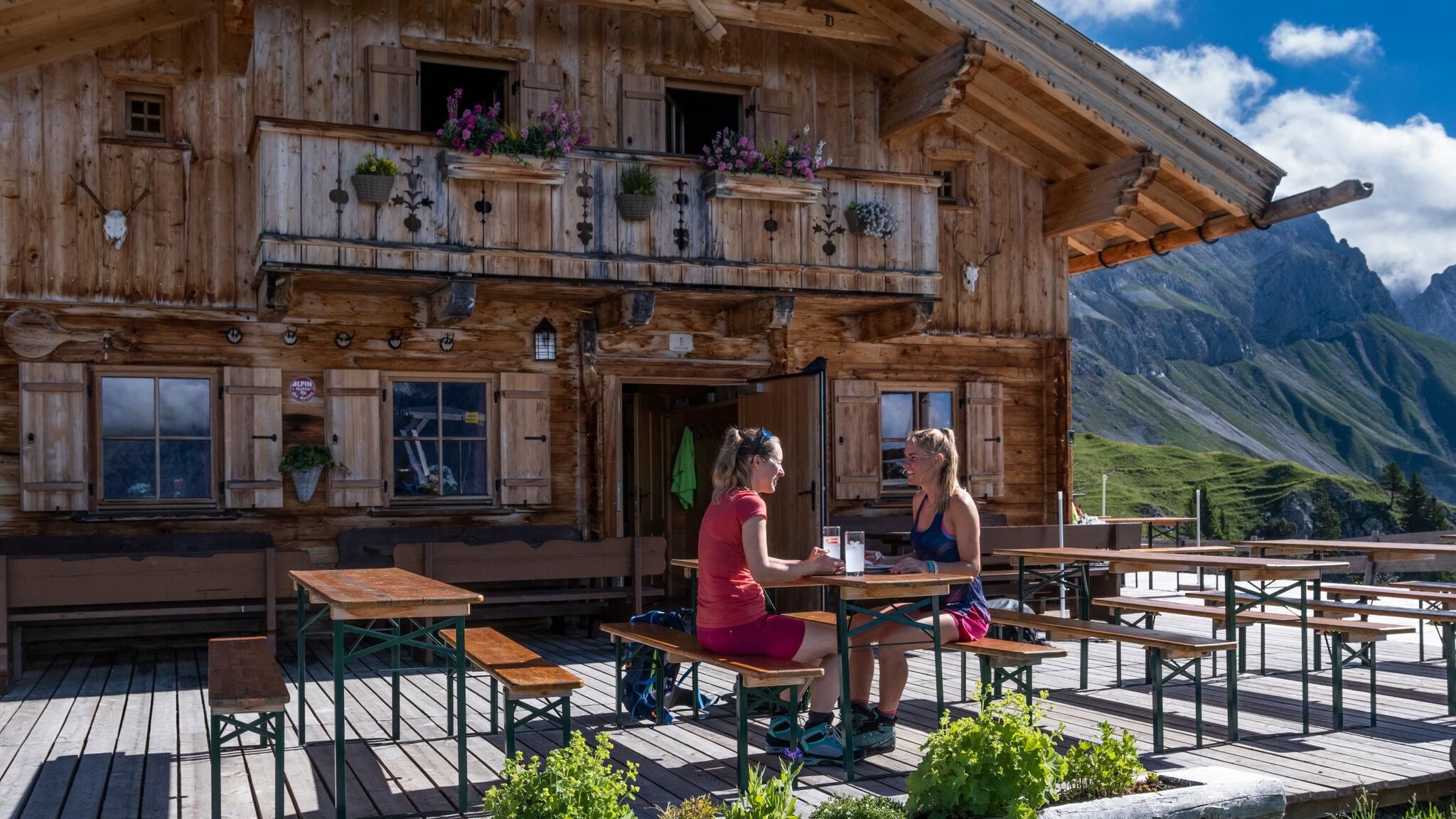
 Historic site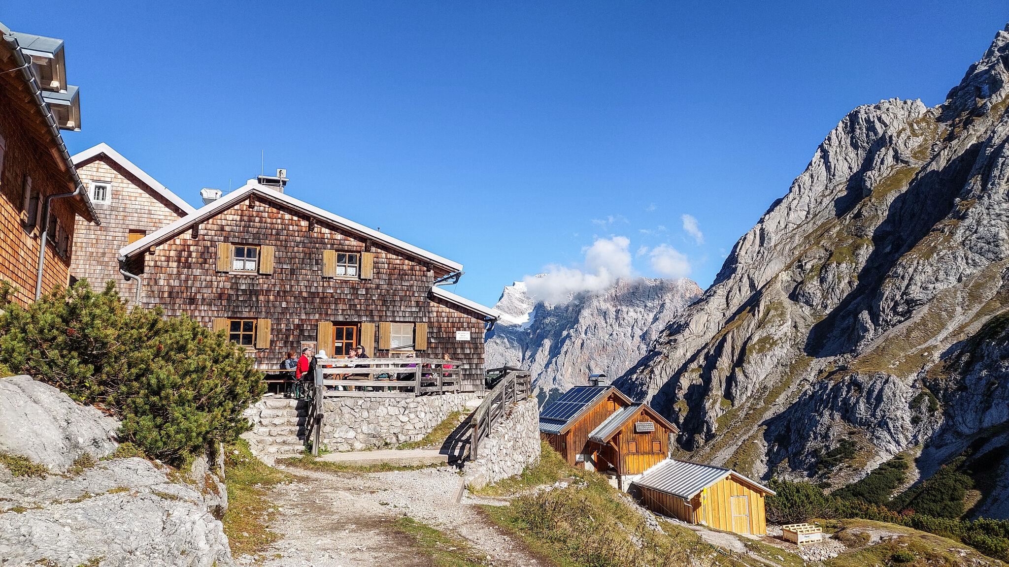
Nothing of this kind in Wildermieming.
Routes
Durch das Steinerne Meer
Easy route through the Steinernes Meer boulder terrain on the Mieming plateau, linking the Alplhaus and the Straßberghaus.
- 6.1 km
- Distance
- 338 m
- Ascent
- 2 h 24 min
- Duration
- 21
- Check-ins
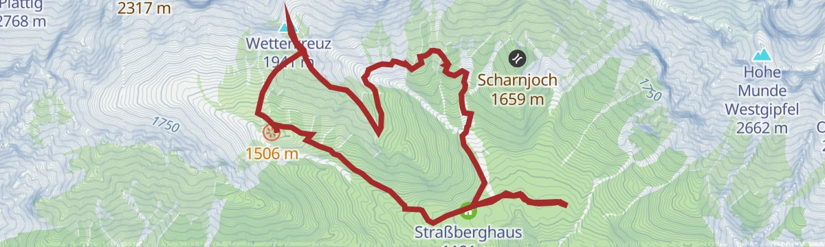
Wetterkreuz
Climb from Wildermieming past the Alplhaus to the Wetterkreuz, a summit cross with a wide sweep over the Inntal and the Mieminger range.
- 10.3 km
- Distance
- 885 m
- Ascent
- 5 h 37 min
- Duration
- 23
- Check-ins
Adlerweg-Etappe 16: Leutasch – Ehrwald
Long 22.6 km stage down the Gaistal beside the Leutascher Ache towards the Zugspitze, ending at the Ehrwalder Alm; ibex and chamois are often about.
- 22.6 km
- Distance
- 555 m
- Ascent
- 6 h 47 min
- Duration
- 254
- Check-ins
Alplhaus (5003)
A forest-road climb above Wildermieming to the hut at 1,506 m, with the Straßberghaus passed lower down and the Neue Alplhütte just above.
- 12.4 km
- Distance
- 662 m
- Ascent
- 1 h 48 min
- Duration
- 21
- Check-ins
Biketour Wettersteinrunde
A full day circling the Wetterstein massif, taking in the Ehrwalder Alm and the Hochthörlehütte and the drop to under 800 m at the Lenz'n-Hütte.
- 78.3 km
- Distance
- 1 877 m
- Ascent
- 8 h 43 min
- Duration
- 280
- Check-ins
Mieminger Runde
A medium loop on the plateau above Mieming, rolling between the villages on the terrace high over the Inn valley.
- 14.3 km
- Distance
- 228 m
- Ascent
- 1 h 29 min
- Duration
Biketour Zugspitz-8
A figure of eight right round the Zugspitze from Ehrwald, taking in the Ehrwalder Alm and the Garmisch ski stadium.
- 103.8 km
- Distance
- 2 311 m
- Ascent
- 11 h 23 min
- Duration
- 273
- Check-ins
Golfplatzrunde
Easy circuit skirting the golf course on the Mieming plateau, with the Stöttlalm as a refreshment stop along the way.
- 4.5 km
- Distance
- 109 m
- Ascent
- 1 h 19 min
- Duration
- 6
- Check-ins
Neue Alplhütte über Hintereggensteig
Approach over the Hintereggensteig to the Neue Alplhütte, climbing through forest and rocky terrain below the Mieminger peaks with several hut options.
- 12.3 km
- Distance
- 834 m
- Ascent
- 5 h 36 min
- Duration
- 22
- Check-ins
Hochalmen Rundwanderung durch das Gaistal
Full-day 24.4 km circuit through the Gaistal calling at seven pastures, among them the Tillfussalm, Rotmoosalm and Wangalm, with 1,280 m of climb.
- 24.4 km
- Distance
- 1 279 m
- Ascent
- 9 h 13 min
- Duration
- 84
- Check-ins
Gravelbike Tour 4.5 - Rund um die Zugspitze
A full circuit of the Zugspitze massif from Ehrwald over the Ehrwalder Alm, across to Grainau and the Garmisch ski stadium.
- 79.7 km
- Distance
- 1 459 m
- Ascent
- 8 h 27 min
- Duration
- 264
- Check-ins
Gravelbike Tour 4.5 - Rund um die Zugspitze
A gravel circuit right around the Zugspitze from Ehrwald, shorter than the figure of eight and with less climbing.
- 79.7 km
- Distance
- 1 717 m
- Ascent
- 8 h 41 min
- Duration
- 264
- Check-ins
Wanderung zur Stöttlalm
Short, family-friendly walk across plateau meadows to the Stöttlalm, one of Mieming's easiest alm destinations.
- 3.9 km
- Distance
- 106 m
- Ascent
- 1 h 11 min
- Duration
- 6
- Check-ins
Über den Hintereggensteig zur Neuen Alplhütte
Route up the Hintereggensteig to the Neue Alplhütte beneath the Mieminger chain, passing the Straßberghaus and the Alplhaus.
- 10.8 km
- Distance
- 763 m
- Ascent
- 5 h 4 min
- Duration
- 21
- Check-ins
Etappe 2: Hohe Munde – Big 3 Weitwanderung
Second Big 3 stage: 1,720 m of climb from shaded forest through pine scrub to both tops of the Hohe Munde, with the Gaistal huts on the way.
- 21.0 km
- Distance
- 1 717 m
- Ascent
- 11 h 1 min
- Duration
- 45
- Check-ins
Gaistalrunde - Mieminger Kette Rundtour
A long loop right around the range over the Marienbergjoch, linking the Ehrwalder Alm, Gaistalalm, Marienbergalm and Tillfussalm on forest roads.
- 66.6 km
- Distance
- 2 310 m
- Ascent
- 8 h 5 min
- Duration
- 247
- Check-ins
Gravel Wettersteinrunde
A gravel circuit of the Wetterstein from Ehrwald, by the Ehrwalder Alm and the Hochthörlehütte.
- 78.3 km
- Distance
- 2 124 m
- Ascent
- 8 h 57 min
- Duration
- 263
- Check-ins
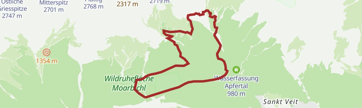
Alpinpark Angertalweg
Level family path through the Angertal alpine park at Wildermieming, an easy round beneath the Mieminger range's south walls.
- 5.1 km
- Distance
- 80 m
- Ascent
- 1 h 24 min
- Duration
Neue Alplhütte (über Ochsenbründlsteig)
Ascent via the Ochsenbründlsteig to the Neue Alplhütte, a moderate hut walk into the rocky southern flank of the Mieminger range.
- 9.6 km
- Distance
- 615 m
- Ascent
- 4 h 11 min
- Duration
- 17
- Check-ins
Gipfeltour: Judenköpfe
Demanding summit tour above Wildermieming via the Neue Alplhütte and the Judentörl to the Judenköpfe in the Mieminger mountains.
- 11.2 km
- Distance
- 1 076 m
- Ascent
- 6 h 41 min
- Duration
- 18
- Check-ins
Bike Trail Tirol Etappe 06: Ehrwald-Scharnitz
A long stage of the Tirol traverse, running from Ehrwald over the Ehrwalder Alm and past the Weidachsee towards Scharnitz.
- 39.8 km
- Distance
- 899 m
- Ascent
- 4 h 23 min
- Duration
- 176
- Check-ins
Bike & Hike Seebensee & Drachensee
A ride up through the woods to the Seeben Alm, where the bike is left for the walk on to the Coburger Hütte and the two lakes above it.
- 31.0 km
- Distance
- 1 022 m
- Ascent
- 3 h 43 min
- Duration
- 101
- Check-ins
Bergdoktorweg
Short, easy stroll around Wildermieming past filming locations of the TV series Der Bergdoktor, with the Mieminger peaks as backdrop.
- 2.1 km
- Distance
- 56 m
- Ascent
- 38 min
- Duration
Nordic Walking: Kapellenweg, Mieming
Long Nordic walking round that strings together the chapels scattered across the Mieming plateau — quiet lanes and field paths throughout.
- 10.5 km
- Distance
- 198 m
- Ascent
- 2 h 56 min
- Duration
Gipfeltour: Karkopf
Steep summit route from the Neue Alplhütte onto the Karkopf, crossing the Wetterkreuz with nearly 950 m of climbing in six kilometres.
- 5.8 km
- Distance
- 941 m
- Ascent
- 5 h 22 min
- Duration
- 9
- Check-ins
Bike & Hike Seebensee & Drachensee
A forest-road ride over to the Seeben Alm, with the walk up to the two lakes and the Coburger Hütte where the track ends.
- 31.0 km
- Distance
- 822 m
- Ascent
- 3 h 31 min
- Duration
- 143
- Check-ins
Bike & Hike zum Steinernen Hüttl
A valley ride through the Gaistal past the Gaistalalm and the Tillfussalm, then a walk on to the hut at 1,925 m below the Mitterjöchl.
- 19.9 km
- Distance
- 1 048 m
- Ascent
- 2 h 52 min
- Duration
- 24
- Check-ins
Rundwanderung Gerhardhof
Easy loop around the Gerhardhof on the Mieming plateau, level farm lanes and forest edge with views to the mountains above.
- 5.1 km
- Distance
- 86 m
- Ascent
- 1 h 25 min
- Duration
Wanderung durchs Angertal
Gentle walk through the Angertal below the Mieminger range, a nearly level valley route on good tracks, well suited to families.
- 7.5 km
- Distance
- 136 m
- Ascent
- 2 h 6 min
- Duration
Biketour Nr. 551 Seebensee
A long forest-road ride from the Leutasch valley over to the Seeben Alm, with the viewpoint over the Seebental where the track tops out.
- 27.8 km
- Distance
- 569 m
- Ascent
- 3 h
- Duration
- 44
- Check-ins
Mieminger Plateau Runde
A near-100 km road round out of the Inn valley, climbing to the terrace villages above Mieming and past Gasthaus Arzkasten.
- 97.1 km
- Distance
- 1 138 m
- Ascent
- 9 h 41 min
- Duration
- 12
- Check-ins
Bike & Hike zum Steinernen Hüttl
A ride up the Gaistal to the Tillfussalm, then the walk on to the Steinernes Hüttl at 1,925 m below the Mitterjöchl.
- 19.9 km
- Distance
- 972 m
- Ascent
- 2 h 43 min
- Duration
- 24
- Check-ins
Genuss-Radweg Mieminger Plateau
A long tour over the terraces above Mieming, climbing to Gasthaus Arzkasten at 1,150 m and passing the Grünberg lift on the way round.
- 40.1 km
- Distance
- 731 m
- Ascent
- 4 h 15 min
- Duration
- 4
- Check-ins
Biketour Nr. 552 Gaistal-Hochfeldern Alm
A forest-road climb to the Hochfeldern Alm at 1,732 m, with the Feldernalm passed on the way up and a fast descent back to the valley.
- 20.2 km
- Distance
- 654 m
- Ascent
- 2 h 25 min
- Duration
- 21
- Check-ins
Radweg Mieming (23)
A signed road tour out of Mieming with a long pull up to Gasthaus Arzkasten, then a descent back to the valley floor.
- 32.9 km
- Distance
- 665 m
- Ascent
- 3 h 33 min
- Duration
- 1
- Check-ins
Imster Radmarathon | Panoramarunde (Jubiläum)
A long tour out of Imst over the Holzleitensattel at 1,119 m, looping back down the Inn valley past the mouth of the Pitztal.
- 79.5 km
- Distance
- 727 m
- Ascent
- 7 h 45 min
- Duration
- 14
- Check-ins




No routes of this kind in Wildermieming yet.
The region's own picks
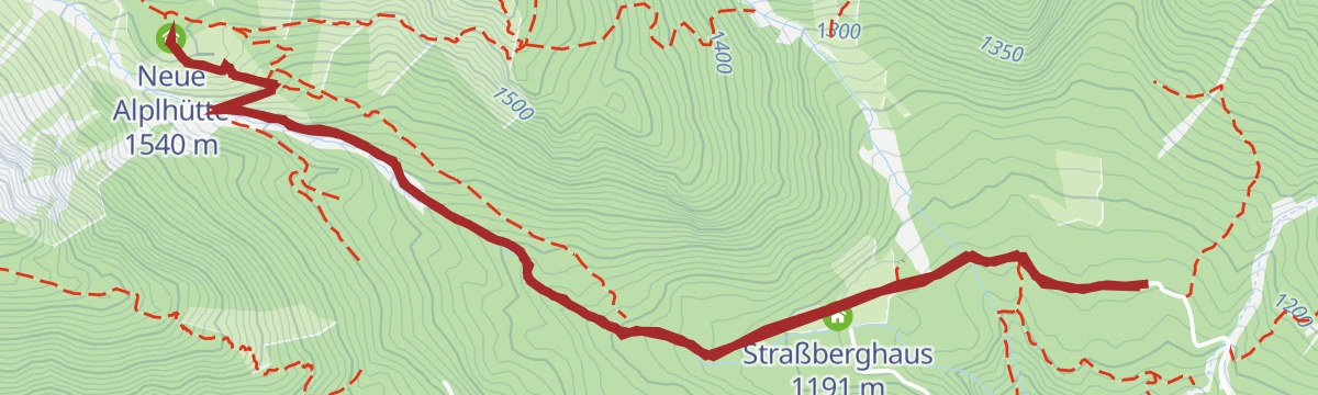
Featured route
Durch das Steinerne Meer
Easy route through the Steinernes Meer boulder terrain on the Mieming plateau, linking the Alplhaus and the Straßberghaus.
Planning a trip to Wildermieming?
Everything else Tyrol has, in one place


Take Wildermieming with you into the mountains
Every route on this page with 3D terrain, GPX navigation and offline maps — including the valleys with no signal.
Data sources
- Official website: innsbruck.info ↗
- Routes and highlights: Region Seefeld, Innsbruck Tourismus, Lechtal Tourismus, Naturparkregion Reutte, Serfaus-Fiss-Ladis, Imst Tourismus
- Published as open data by the tourist boards named above.
- Region summary generated from the board's own material.
