
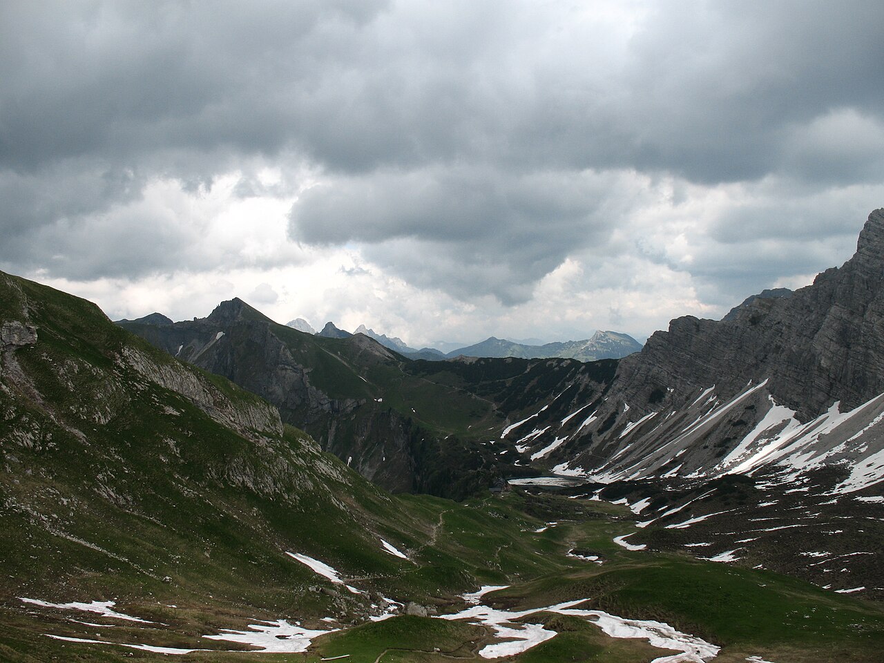
 Mountain hut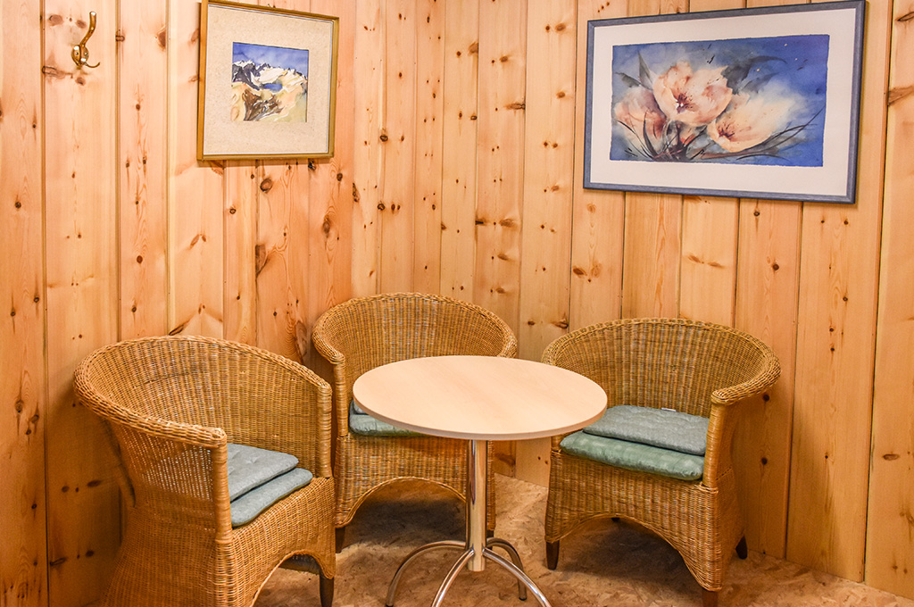
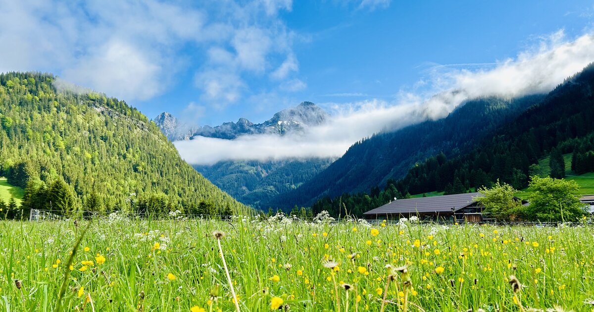
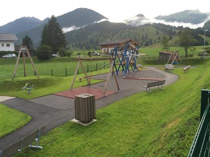
 Viewpoint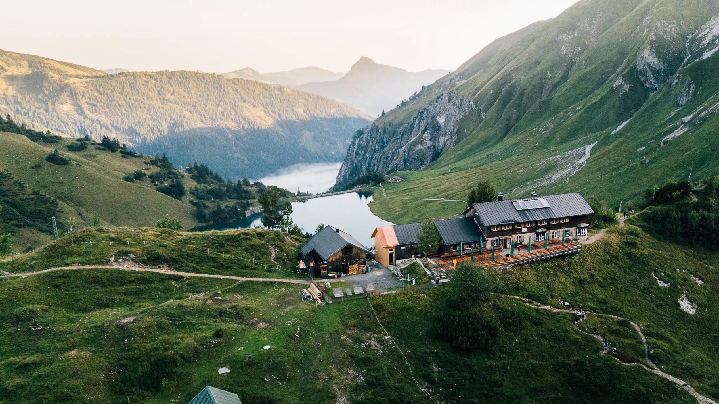
 Cable car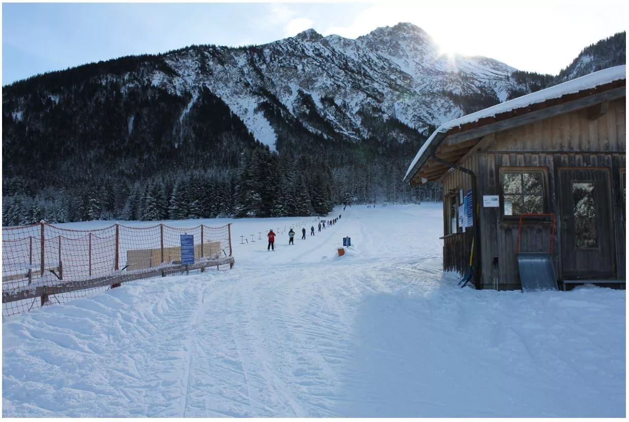










Curated by Tannheimer Tal
Weißenbach am Lech
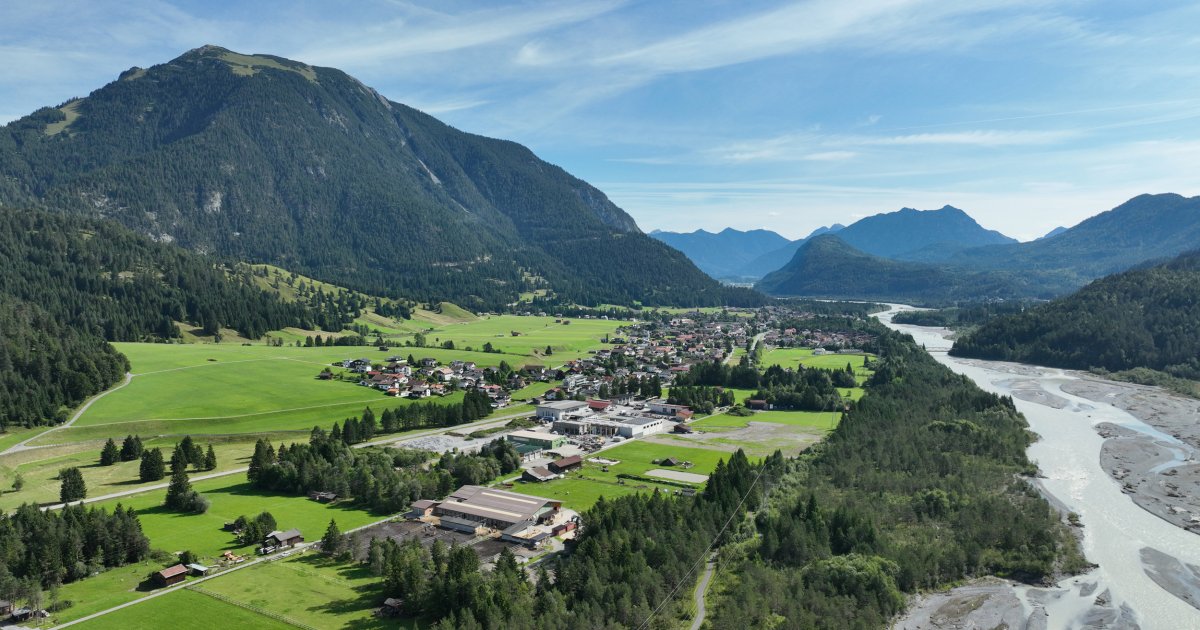
At the elbow where the Lechtal opens into the Reutte basin and the Gaicht pass road turns off to the Tannheimer Tal, a doorway to the wild Tiroler Lech reserve.
- 4Highlights
- 48Routes
- Featured summit · Gaishorn
Highlights
11 from neighbouring places
Landsberger Hütte
A staffed Alpine Club hut in the Tannheim mountains above the Vilsalpsee, reached on foot from Tannheim and a base for ridge walks and climbs.
Fischwasser Weißenbach und Nesselwängler Ache
Fly-fishing waters on the Weissenbach and Nesselwängler Ache near Weissenbach am Lech, clear mountain streams in the Tiroler Lech nature park.
Berggut Gaicht
A mountain estate at Gaicht above Nesselwängle, offering hut-style lodging near the pass between the Tannheimer Tal and the Lech valley.
Spielplatz Weißenbach
A public playground in Weissenbach am Lech, a free stop for families in the Naturparkregion Reutte.
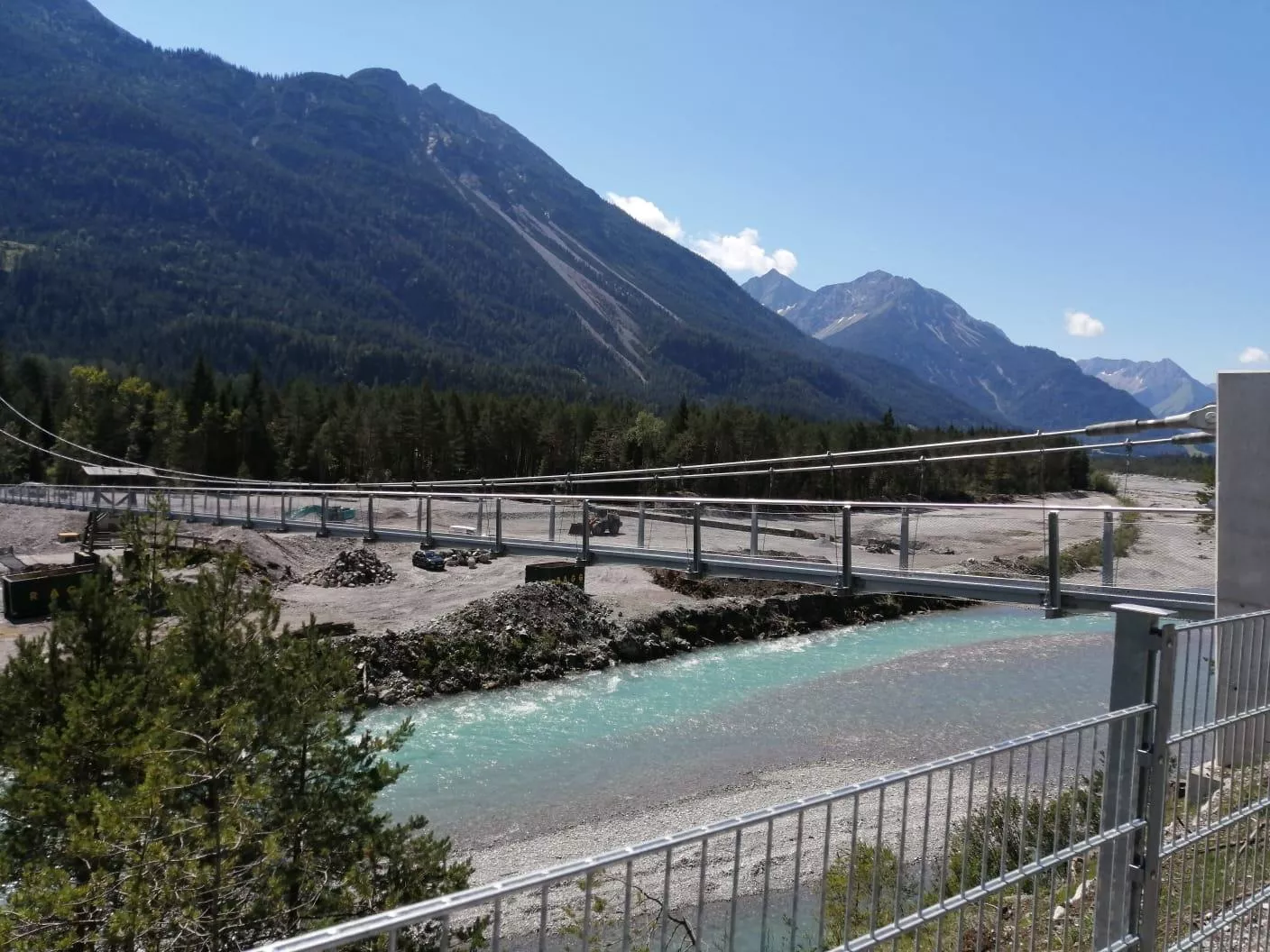
Hängebrücke Forchach
3.4 km away, in Forchach
A suspension footbridge across the Lech at Forchach, letting walkers cross the wide gravel bed of one of the Alps' last wild rivers.
Landsberger Hütte 1.810 m
3.8 km away, in Tannheim
A refuge at 1,810 m in the Tannheim mountains, set among the lake basins above the Vilsalpsee and serving regional dishes to walkers.
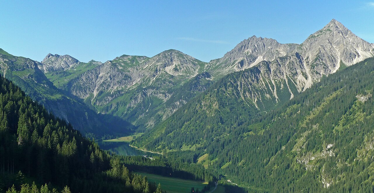
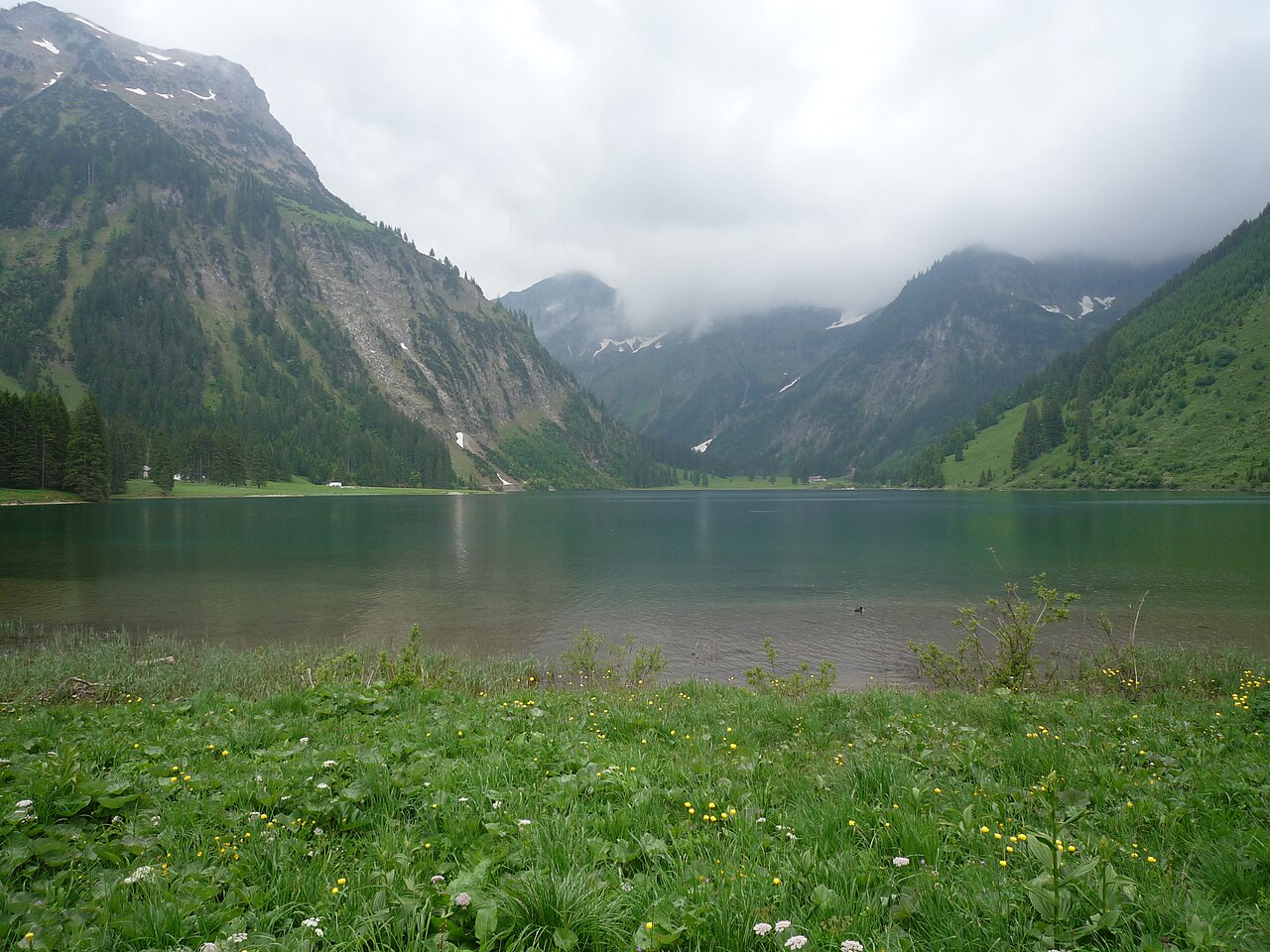
Vilsalpsee
4.8 km away, in Tannheim
A mountain lake in a protected nature reserve south of Tannheim, reached by a quiet valley road and circled by an easy shore path.
Vilsalpe
4.9 km away, in Tannheim
A pasture hut at the Vilsalpsee south of Tannheim, serving day visitors who walk or take the bus along the nature-reserve valley.
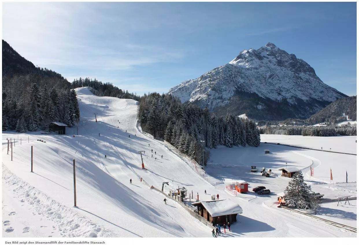
Skilift Stanzach - Stoamandllift
5.6 km away, in Stanzach
A village ski lift at Stanzach in the Lechtal, its name taken from Stoamandl, the dialect word for a stone cairn figure.
Skilifte Stanzach - Übungslift
5.6 km away, in Stanzach
A practice ski lift at Stanzach, serving the village nursery slope for beginners in the middle Lechtal at 940 m.
Freibad Naturerlebnisbad Badino
6.5 km away, in Vorderhornbach
A natural outdoor swimming pool at Vorderhornbach in the Lechtal, with naturally filtered water, lawns and a beach volleyball court at 973 m.
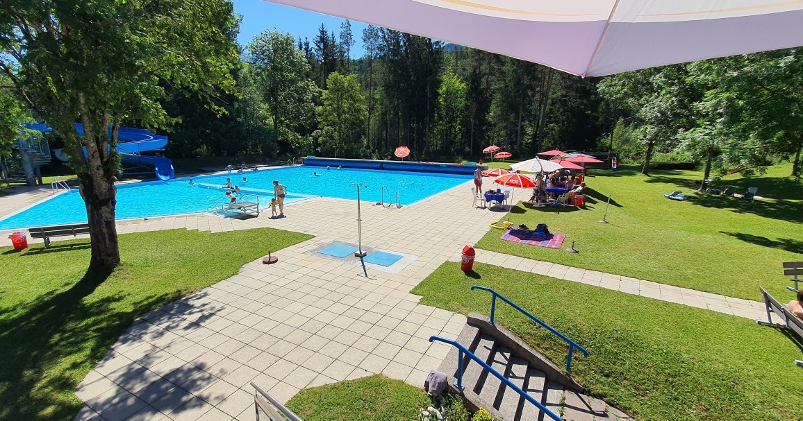
Erlebnis-Freibad Weißenbach
7.6 km away, in Reutte
The outdoor swimming pool of Weissenbach am Lech, with pools, slides and lawns for families during the summer season.
Bergbahnen Tannheimer Tal - Neunerköpfle
8 km away, in Tannheim
A gondola from Tannheim onto the Neunerköpfle, a well-known paragliding launch and the start of high-path walks above the valley.
Felixé Mina’s Haus in Tannheim
8.1 km away, in Tannheim
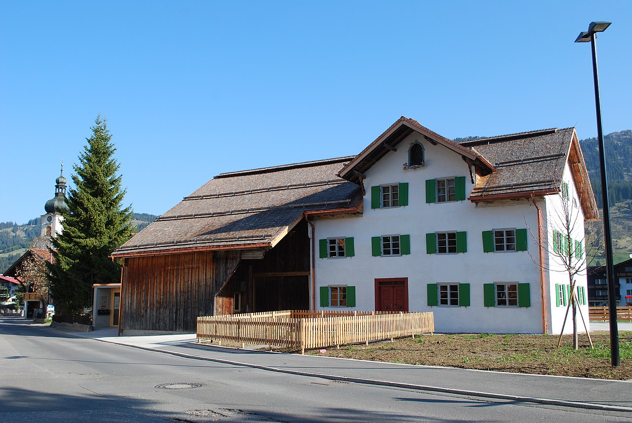
A preserved old farmhouse in Tannheim kept as a museum, showing how farming families in the Tannheimer Tal once lived and worked.
Großer Spielplatz Tannheim
8.1 km away, in Tannheim
The large central playground of Tannheim, with climbing and play equipment for children next to the village's guest facilities.
Nothing of this kind in Weißenbach am Lech.
Routes
Klettersteig Lachenspitze
North-face via ferrata on the Lachenspitze above the Landsberger Hütte, approached from the Vilsalpsee past the Traualpe lakes; descent by the marked normal route.
- 12.0 km
- Distance
- 984 m
- Ascent
- 8 h 3 min
- Duration
- 83
- Check-ins
Forchach - Zur Schwarzwasserschlucht
Easy walk from Forchach to the mouth of the Schwarzwasserschlucht, where the Schwarzwasserbach emerges from its gorge towards the wild Lech.
- 3.5 km
- Distance
- 32 m
- Ascent
- 53 min
- Duration
- 6
- Check-ins
Gaicht-Runde
Moderate loop through the Gaicht corner of the valley above Nesselwängle, passing the Tannheimer Hütte valley station on rolling forest paths.
- 9.5 km
- Distance
- 311 m
- Ascent
- 2 h 59 min
- Duration
- 12
- Check-ins
Jubiläumsweg
A long ridge traverse over the Gaishorn and Rauhhorn above Zöblen, crossing the Köllesattel and passing the Prinz-Luitpold-Haus.
- 19.8 km
- Distance
- 2 129 m
- Ascent
- 12 h 56 min
- Duration
- 112
- Check-ins
Alter Gaichtpass
A short climb out of Weißenbach am Lech on the old pass road up to 1,123 m, starting near the Boulderarena at the foot of the hill.
- 5.7 km
- Distance
- 307 m
- Ascent
- 50 min
- Duration
- 2
- Check-ins
Gravelbike Tour 1.3 - Durch den Naturpark Tiroler Lech
A long gravel run up the Lech valley in Tirol, with the Petersbergalm at 1,250 m and the Drähhüttenalm on the higher sections.
- 79.4 km
- Distance
- 688 m
- Ascent
- 7 h 42 min
- Duration
- 41
- Check-ins
2026_RAD-MARATHON_103 km
The long course of a road marathon out of the Tannheimer Tal, crossing the Oberjoch pass and the Wertach-Iller watershed on the German side.
- 103.4 km
- Distance
- 1 489 m
- Ascent
- 10 h 34 min
- Duration
- 203
- Check-ins
Lechweg Abschnitt: Forchach - Weißenbach
Flat, easy Lechweg section from Forchach to Weißenbach past the Baggersee, a gentle riverbank link stage of about seven kilometres.
- 6.8 km
- Distance
- 22 m
- Ascent
- 1 h 40 min
- Duration
- 5
- Check-ins
Stanzach - Über die Hängebrücke
A long, level loop from Stanzach that crosses the Lech on a suspension bridge — laid out to suit families, wheelchairs and pushchairs.
- 12.8 km
- Distance
- 42 m
- Ascent
- 3 h 6 min
- Duration
- 9
- Check-ins
Durch´s Birkental
Long circuit through the Birkental behind Nesselwängle, climbing to the Gappenfeld and Strinden scharten before returning along the Haldensee.
- 25.1 km
- Distance
- 1 254 m
- Ascent
- 9 h 11 min
- Duration
- 108
- Check-ins
Gravelbike Tour 4.1 - Berwanger Talrunde
A long gravel-road circuit through the Berwanger Tal and down towards the Lech, passing below the Thanellerkar and by the Baggersee.
- 54.1 km
- Distance
- 834 m
- Ascent
- 5 h 35 min
- Duration
- 29
- Check-ins
Oberjochrunde
A long road circuit from Vils over the Oberjochpass at 1,150 m, crossing the Wertach-Iller watershed and passing the Wiedhag-Alpe.
- 82.7 km
- Distance
- 1 101 m
- Ascent
- 8 h 22 min
- Duration
- 194
- Check-ins
Rundweg Lechausee | Barrierefrei
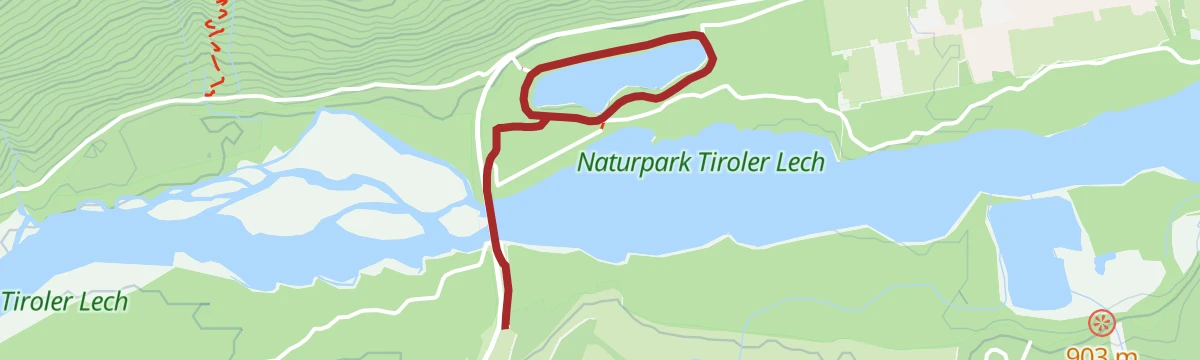
Barrier-free loop around the Lechausee near Forchach, a level lakeside circuit accessible with wheelchairs and prams.
- 2.5 km
- Distance
- 18 m
- Ascent
- 37 min
- Duration
- 4
- Check-ins
Forchach - Zu den Sieglseen
Climb from Forchach into the Schwarzwassertal to the two Sieglseen, small lakes lying at about 1,205 m in a quiet forest basin.
- 11.4 km
- Distance
- 485 m
- Ascent
- 3 h 33 min
- Duration
- 6
- Check-ins
Drei Seen vom Vilsalpsee zum Schrecksee und zur Landsberger Hütte
Three-lake mountain day from the Vilsalpsee over the Lachenjoch to the Schrecksee in the Allgäu, returning past the Landsberger Hütte.
- 16.7 km
- Distance
- 1 175 m
- Ascent
- 7 h 49 min
- Duration
- 106
- Check-ins
Lechradweg von Steeg bis Reutte
A long, nearly level run down the Lech valley to Reutte, following the river past the campsite at Vorderhornbach and the Baggersee.
- 53.2 km
- Distance
- 32 m
- Ascent
- 4 h 50 min
- Duration
- 29
- Check-ins
2026_RAD-MARATHON_66 km
The shorter of the two marathon courses out of the Tannheimer Tal, again over the Oberjoch pass and past the Moorhütte and the Wiedhag-Alpe.
- 65.9 km
- Distance
- 1 087 m
- Ascent
- 6 h 52 min
- Duration
- 186
- Check-ins
Nesselwängle - Rauth
Level walk from Nesselwängle down-valley to Rauth, following quiet paths along the floor of the Tannheimer Tal.
- 6.7 km
- Distance
- 102 m
- Ascent
- 1 h 49 min
- Duration
Stanzach - Höhenweg Errachau
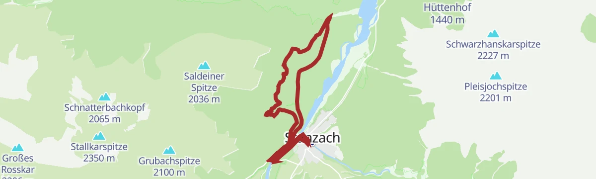
A shaded circuit through mixed forest on the Errachau high path above Stanzach, with around 180 m of gentle climbing spread over the round.
- 11.0 km
- Distance
- 180 m
- Ascent
- 3 h 1 min
- Duration
- 3
- Check-ins
Lachenspitze in Tannheim
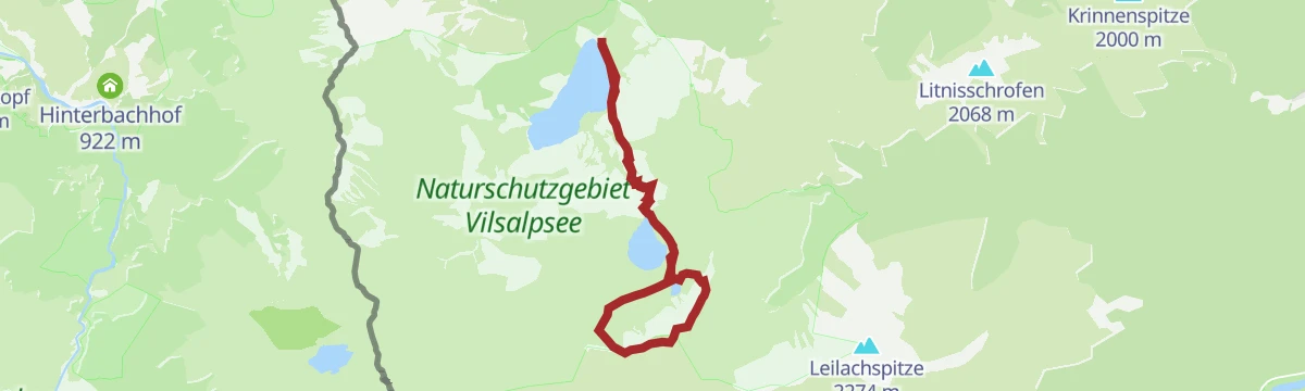
Mountain hike from the Vilsalpsee past the Traualpe and the Landsberger Hütte onto the Lachenspitze, whose summit overlooks a chain of tarns.
- 10.4 km
- Distance
- 956 m
- Ascent
- 5 h 59 min
- Duration
- 64
- Check-ins
Ins Tannheimer Tal | MTB Tour
A long valley ride over the Gaichtpass and the Vils-Lech watershed, reaching the shore of the Haldensee at the Haldenseehaus.
- 20.3 km
- Distance
- 497 m
- Ascent
- 2 h 16 min
- Duration
- 19
- Check-ins
Bannwaldseerunde
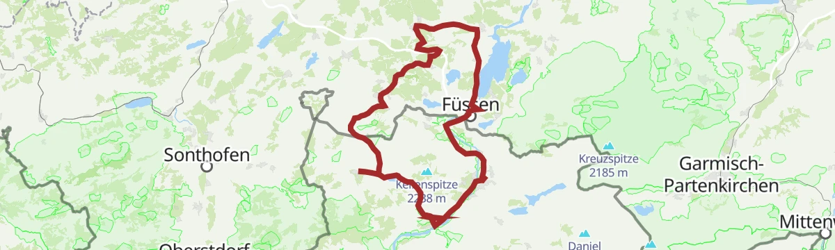
A long road tour from the Lech valley over to Füssen and Hohenschwangau, returning through the Tannheimer Tal past the Haldensee.
- 95.3 km
- Distance
- 1 155 m
- Ascent
- 9 h 32 min
- Duration
- 127
- Check-ins
Rundwanderung Weißenbacher Felder
Flat little farmland loop through the fields at Weißenbach am Lech, passing the Gasthof Musikantenstadl; a short stroll rather than a hike.
- 2.4 km
- Distance
- 22 m
- Ascent
- 36 min
- Duration
Grenzgänger Etappe 3 - Über den Jubiläumsweg zum Prinz-Luitpold-Haus
Hut-to-hut day on the Jubiläumsweg from the Landsberger Hütte to the Prinz-Luitpold-Haus, holding a high line above the Schwarzwassertal by way of the Lahnerscharte.
- 12.3 km
- Distance
- 985 m
- Ascent
- 6 h 17 min
- Duration
- 62
- Check-ins
Lechzopf Tour
A nearly level ride along the braided river Lech between Elmen and Vorderhornbach, on the valley track past the campsite.
- 26.2 km
- Distance
- 162 m
- Ascent
- 2 h 28 min
- Duration
- 14
- Check-ins
Gravelbike Tour 1.1 - Rund um die Tannheimer Berge
A long gravel circuit right around the Tannheimer Berge, from Hohenschwangau past the Alatsee and back below the Tannheimer Hütte valley station.
- 80.7 km
- Distance
- 1 573 m
- Ascent
- 8 h 38 min
- Duration
- 114
- Check-ins
Grenzgänger Etappe 5 - Hinterhornbach, Hochvogel & Hintersteiner Tal
Stage built around the Hochvogel, passing close under it at the Fuchsensattel before a break at the Prinz-Luitpold-Haus and the descent into the Hintersteiner Tal.
- 14.4 km
- Distance
- 1 654 m
- Ascent
- 10 h
- Duration
- 62
- Check-ins
Lechzopf Tour – MTB-Spaß rund um das Tannheimer Tal
A rolling ride on tracks along the Lech between Stanzach and Vorderhornbach, passing the Jagdthüttenalpe and a riverside campsite.
- 26.6 km
- Distance
- 387 m
- Ascent
- 2 h 43 min
- Duration
- 14
- Check-ins
Forggenseerunde
A ninety-kilometre road loop from Vils to the Forggensee at Füssen, coming back through the Tannheimer Tal past the Haldensee.
- 92.7 km
- Distance
- 1 385 m
- Ascent
- 9 h 32 min
- Duration
- 106
- Check-ins
Grenzgänger Etappe 2 - Geißeckjoch, Schrecksee & Landsberger Hütte
Second stage of the Grenzgänger trek: from the Willersalpe over high jochs past the Schrecksee, the Allgäu's island tarn, before crossing back to the Landsberger Hütte above the Traualpsee.
- 15.9 km
- Distance
- 1 734 m
- Ascent
- 10 h 30 min
- Duration
- 62
- Check-ins
Lechzopf-Runde (8007)
A waymarked mountain-bike round along the Lech valley floor, with little climbing and a stop possible at the Feldele or the Jagdthüttenalpe.
- 26.7 km
- Distance
- 407 m
- Ascent
- 2 h 45 min
- Duration
- 14
- Check-ins
Gaichtpassrunde
A road loop over the Gaichtpass into the Tannheimer Tal, passing the Haldensee and the Altes Zollhaus before the descent back to the Lech.
- 56.5 km
- Distance
- 732 m
- Ascent
- 5 h 42 min
- Duration
- 93
- Check-ins
Jakobsweg Etappe 4 Berwang - Haldensee
Long Jakobsweg pilgrimage stage from Berwang over the Gaichtpass into the Tannheimer Tal, ending at the Haldensee; distance rather than steepness is the test here.
- 24.8 km
- Distance
- 498 m
- Ascent
- 7 h 2 min
- Duration
- 45
- Check-ins
Namlosrunde
A long road circuit from Reutte through the Tannheimer Tal past the Haldensee, crossing the Vils–Lech watershed on the way home.
- 87.1 km
- Distance
- 1 713 m
- Ascent
- 9 h 21 min
- Duration
- 85
- Check-ins
Forchach - Landsberger Hütte
Long approach from Forchach over the Steinkarscharte to the Landsberger Hütte, the Alpine Club hut set among the lakes of the Tannheim mountains.
- 14.1 km
- Distance
- 1 114 m
- Ascent
- 5 h 30 min
- Duration
- 38
- Check-ins
Steeg-Kaisers
A very long day on the road from the Lechtal into the Tannheimer Tal, over the Vils/Lech watershed and past the Haldensee.
- 118.1 km
- Distance
- 1 951 m
- Ascent
- 12 h 19 min
- Duration
- 76
- Check-ins
Forchach - Prinz-Luitpoldhaus
Marathon crossing from Forchach through the Schwarzwassertal into the Allgäu Alps to the Prinz-Luitpold-Haus at 1,846 m below the Hochvogel.
- 18.4 km
- Distance
- 1 689 m
- Ascent
- 8 h 50 min
- Duration
- 31
- Check-ins
Stanzach-Hinterhornbach
A long valley ride between the Lech and the Tannheimer Tal, crossing the Vils/Lech watershed and passing the Haldensee.
- 79.3 km
- Distance
- 1 439 m
- Ascent
- 8 h 24 min
- Duration
- 71
- Check-ins
Hinterhornbach - Hochvogel
A steep high-alpine climb toward the Hochvogel via the Kaltwinkelscharte, gaining nearly 1,400 m in seven kilometres; the Bäumenheimer Weg is closed because of rockfall danger.
- 7.0 km
- Distance
- 1 386 m
- Ascent
- 5 h 23 min
- Duration
- 16
- Check-ins
Häselgehr-Gramais
A long day linking the Lech valley with the Tannheimer Tal, past the Haldensee and over the Vils-Lech watershed at 1,146 m.
- 87.1 km
- Distance
- 1 626 m
- Ascent
- 9 h 16 min
- Duration
- 62
- Check-ins
Lechweg - Gemütliche Variante - Etappe 6 - Elmen bis Weißenbach
Relaxed Lechweg stage from Elmen to Weißenbach on the valley floor, passing the Baggersee bathing lake and a bird-watching hide along the Lech.
- 20.0 km
- Distance
- 210 m
- Ascent
- 5 h 19 min
- Duration
- 13
- Check-ins
Gravelbike Tour 1.3 - Durch den Naturpark Tiroler Lech
A long gravel ride through the Naturpark Tiroler Lech from Weißenbach, taking in the Petersbergalm and the Drähhüttenalm above the river.
- 79.4 km
- Distance
- 1 443 m
- Ascent
- 8 h 24 min
- Duration
- 41
- Check-ins
Gaichtspitze
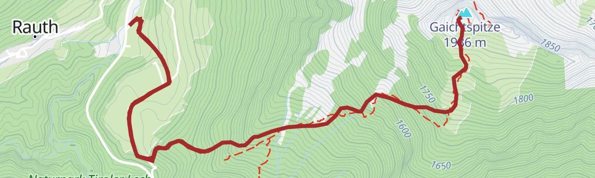
Steep climb from the Weißenbach side via the Alter Gaichtpass onto a rocky viewpoint summit dividing the Lech and Tannheim valleys; 900 m of ascent in a short distance.
- 6.3 km
- Distance
- 903 m
- Ascent
- 5 h 14 min
- Duration
- 11
- Check-ins
Gravelbike Tour 2.1 - Lechzopf
A long gravel loop out of the Lechtal, taking in the Fallerschein meadows at around 1,300 m and the quiet Hornbach side valley.
- 65.6 km
- Distance
- 1 523 m
- Ascent
- 7 h 16 min
- Duration
- 30
- Check-ins
Lechweg - Klassische Variante - Etappe 6 - Stanzach bis Wängle
Stage 6 of the classic Lechweg: over 20 nearly flat kilometres from Stanzach to Wängle, following the wild river past gravel banks and a bird hide.
- 20.8 km
- Distance
- 63 m
- Ascent
- 5 h 4 min
- Duration
- 8
- Check-ins
Gravelbike Tour 4.1 - Berwanger Talrunde
A gravel loop through the Berwang valley from Reutte, climbing past the Thanellerkar and the Rastkopf huts to the Schwarzes Kreuz.
- 54.1 km
- Distance
- 1 175 m
- Ascent
- 5 h 54 min
- Duration
- 29
- Check-ins
Lechweg - Gemütliche Variante - Etappe 7 - Weißenbach bis Pflach
Relaxed-gradient but long Lechweg stage from Weißenbach past Reutte to Pflach, detouring by the woodland Frauensee; river dams and gravel banks set the tone.
- 19.0 km
- Distance
- 349 m
- Ascent
- 5 h 21 min
- Duration
- 7
- Check-ins
Zum Lechausee | Radtour
A flat family ride down the Lech valley from Höfen past Reutte, following the river to the lake and the gliding-club campsite.
- 25.5 km
- Distance
- 131 m
- Ascent
- 2 h 23 min
- Duration
- 7
- Check-ins
No routes of this kind in Weißenbach am Lech yet.
The region's own picks

Featured route
Forchach - Zur Schwarzwasserschlucht
Easy walk from Forchach to the mouth of the Schwarzwasserschlucht, where the Schwarzwasserbach emerges from its gorge towards the wild Lech.
Planning a trip to Weißenbach am Lech?
Everything else Tyrol has, in one place


Take Weißenbach am Lech with you into the mountains
Every route on this page with 3D terrain, GPX navigation and offline maps — including the valleys with no signal.
Data sources
- Official website: reutte.com ↗
- Routes and highlights: Tannheimer Tal, Lechtal Tourismus, Naturparkregion Reutte
- Published as open data by the tourist boards named above.
- Region summary generated from the board's own material.
