
 Historic site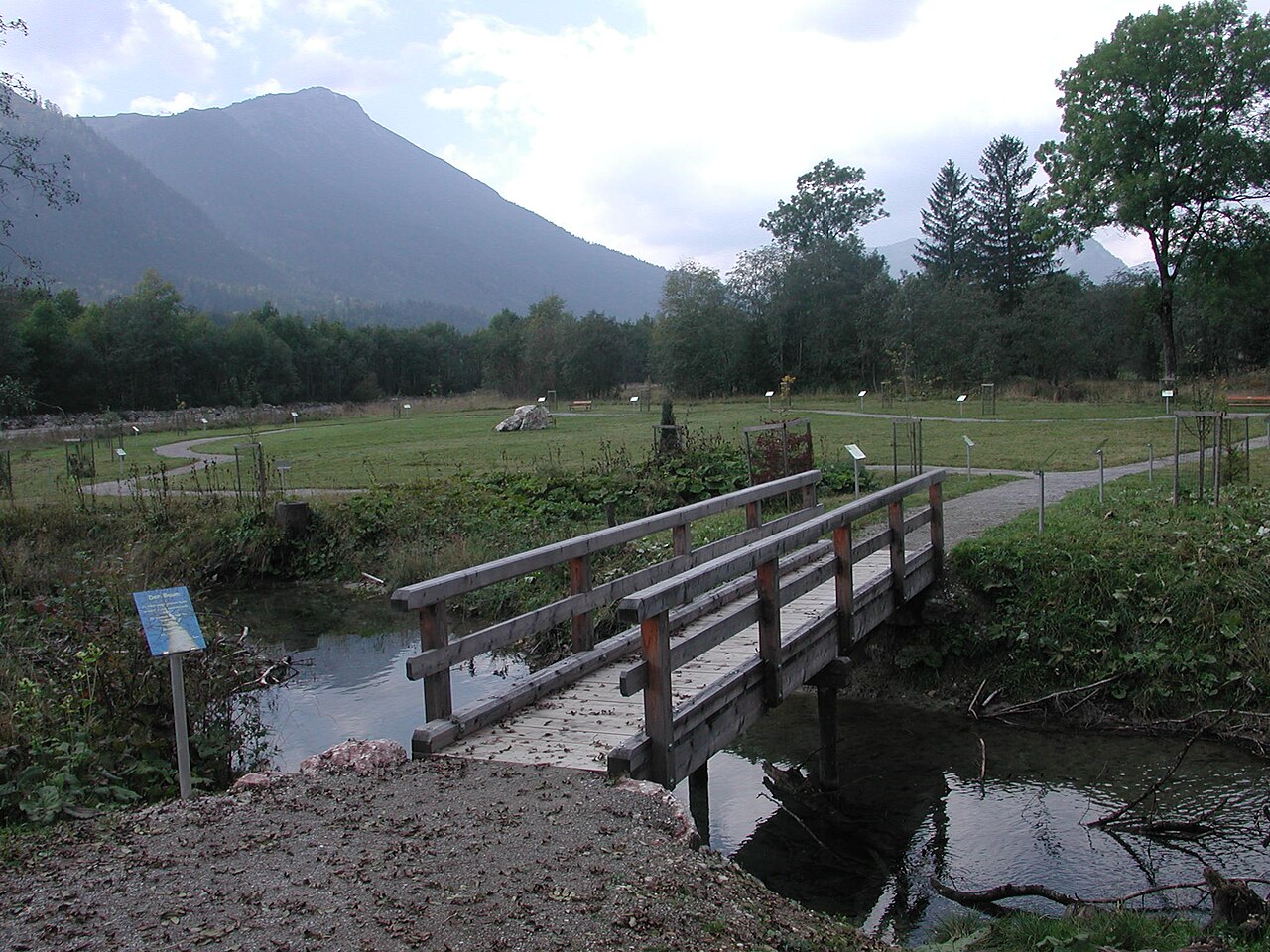
 Cable car









Curated by Naturparkregion Reutte
Vils
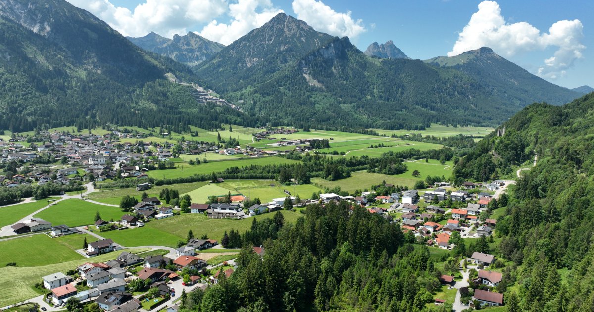
Tirol's smallest town, on the Vils at the Bavarian border near Füssen, below the ruined Vilsegg castle and with a historic hammer forge.
- 4Highlights
- 33Routes
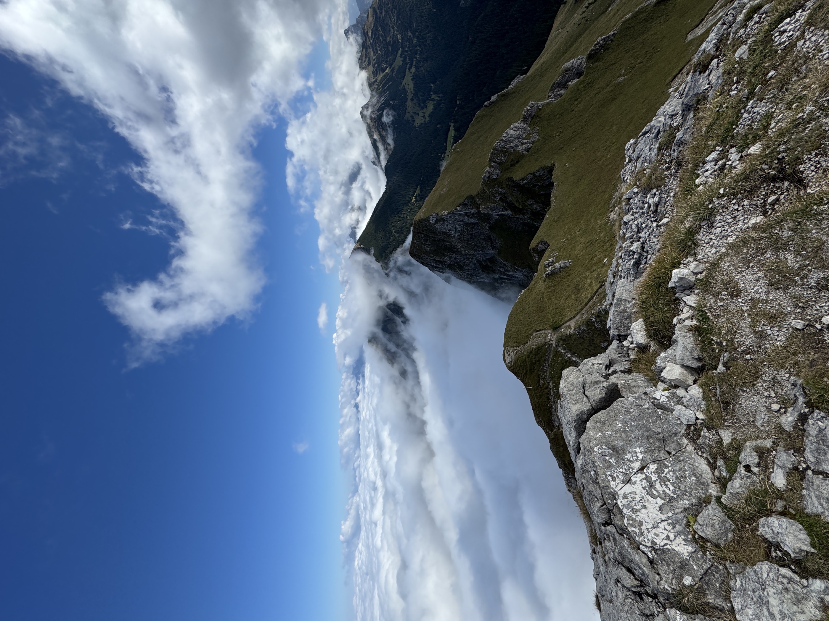
- Featured summit · Aggenstein
Highlights
11 from neighbouring places
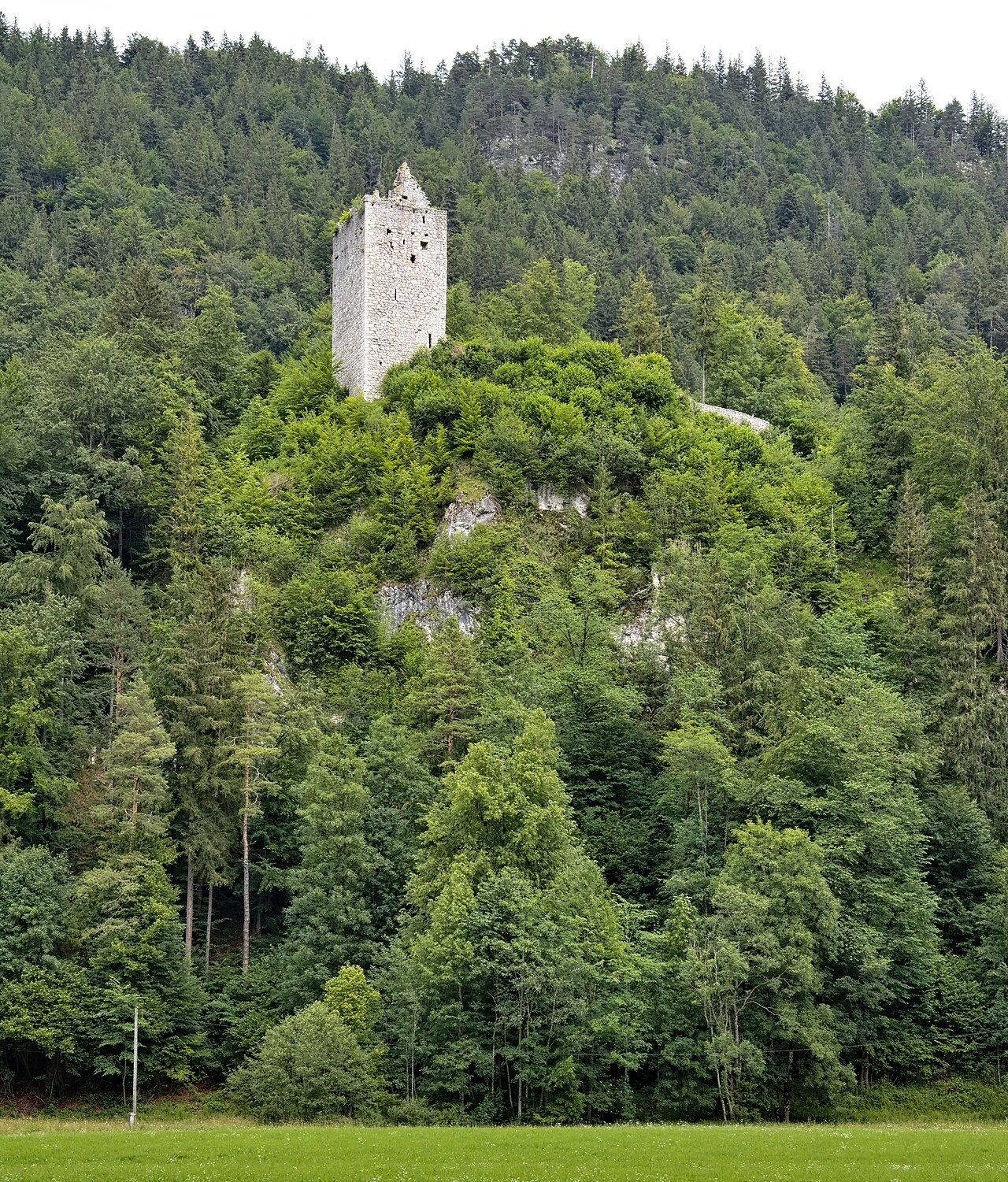
Burgruine Vilsegg
The ruin of Vilsegg castle on a wooded rock above the small town of Vils, a medieval seat overlooking the border valley toward Bavaria.
Keltischer Baumkreis
A Celtic tree circle near Vils, a planted ring in which native trees are arranged after the old Celtic tree calendar, explored on an easy walk.
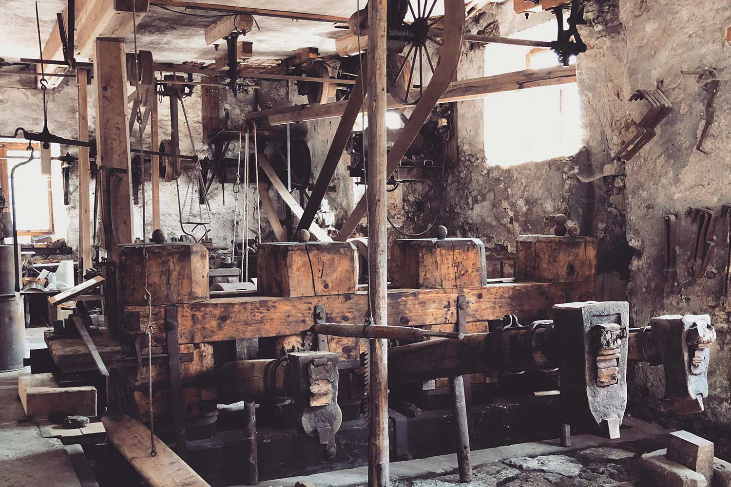
Historische Hammerschmiede Vils
A preserved water-powered hammer forge in Vils, shown as a museum where demonstrations explain the ironworking trade of earlier centuries.
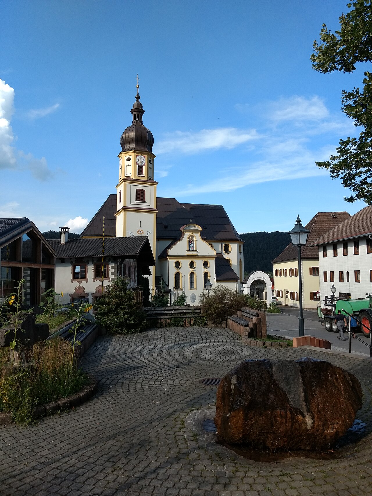
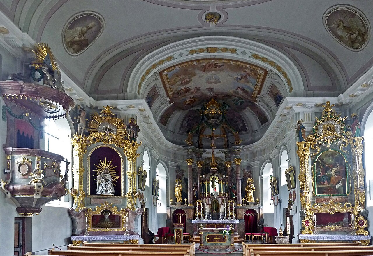
Stadtpfarrkirche Mariae Himmelfahrt mit Friedhof
The town parish church of the Assumption in Vils, with its surrounding graveyard, serving the small Tyrolean town near the Bavarian border.
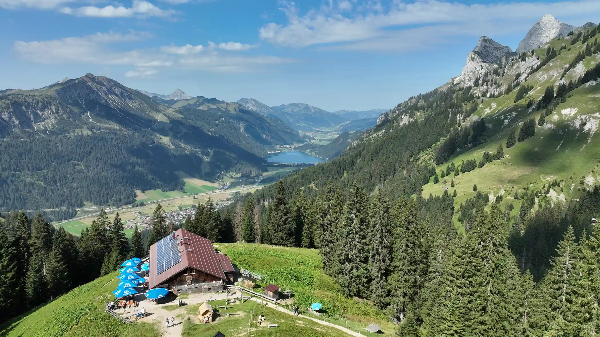
Füssener Hütte
3.9 km away, in Musau
A mountain hut in the Tannheim range above Musau, a starting point for walks and climbs on the surrounding limestone peaks.
Bergbahnen Tannheimer Tal - Füssener Jöchle
5.6 km away, in Grän
A gondola from Grän up to the Füssener Jöchle, opening walks along the ridge country between the Tannheimer Tal and the Allgäu.
Erlebnisspielplatz in Grän
5.8 km away, in Grän
An adventure playground in Grän at 1,138 m, one of a chain of free village play areas along the Tannheimer Tal.
Vater-unser-Weg
5.9 km away, in Grän
A contemplative themed path at Grän whose stations follow the lines of the Lord's Prayer, laid out for a quiet walk near the village.
Pfarrkirche zum Hl. Wendelin
6.3 km away, in Grän
The parish church of Grän in the Tannheimer Tal, dedicated to St Wendelin, the patron saint of shepherds and herders.
Waldspielplatz am Bächle Grän
6.5 km away, in Grän
A forest playground by a small stream near Grän, with natural play features under the trees close to the Haldensee.
Gimpelhaus
5.6 km away, in Nesselwängle
A mountain hut above Nesselwängle below the Gimpel and Rote Flüh, the traditional base for climbers in the Tannheim range.
Waldspielplatz in Nesselwängle
6.3 km away, in Nesselwängle
A forest playground at Nesselwängle, a shaded natural play area below the rock peaks of the Tannheim range.
Spielplatz am Schmittebächle in Nesselwängle
6.4 km away, in Nesselwängle
A playground beside the Schmitte brook in Nesselwängle, where children can combine play equipment with shallow water to splash in.
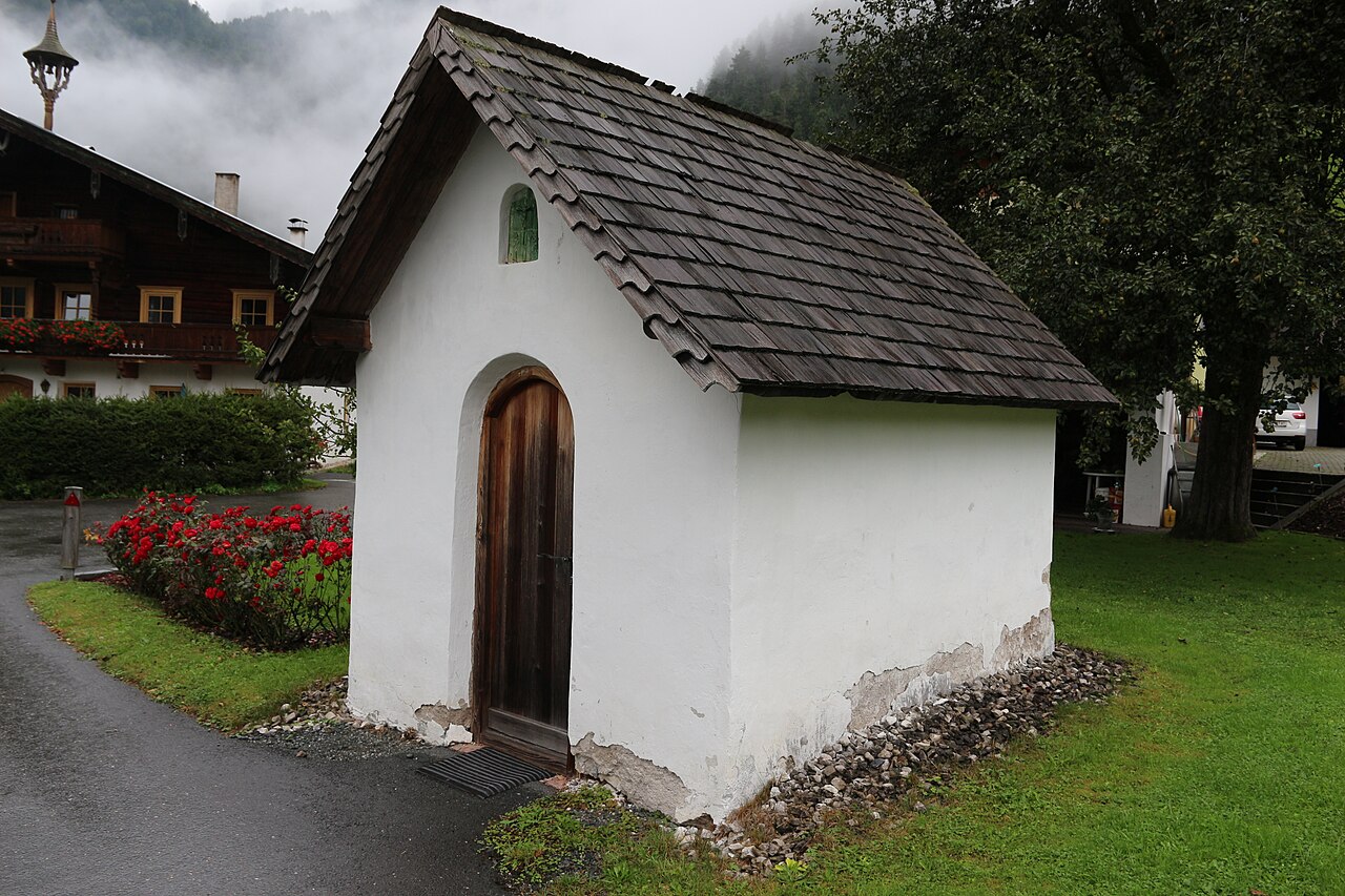
Antonius Kapelle
6.6 km away, in Nesselwängle
A village chapel in Nesselwängle dedicated to St Anthony, a small devotional stop below the Tannheim climbing peaks.
Schneetalalm
6.7 km away, in Wängle
A hut in the Schneetal high above Höfen, part of the Hahnenkamm mountain area near Reutte, serving walkers and skiers.
Nothing of this kind in Vils.
Routes
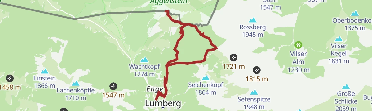
Gipfelwanderung Aggenstein ab Bad Kissinger Hütte
Short summit push from the Bad Kissinger Hütte over the Bayern-Tirol-Sattel to the rocky top of the Aggenstein, straddling the Austro-Bavarian border.
- 1.4 km
- Distance
- 193 m
- Ascent
- 1 h 8 min
- Duration
- 157
- Check-ins
GeoPanoramaweg Breitenberg - Füssner Jöchle
Geology-themed high route between the Breitenberg and the Füssener Jöchle, passing the Bad Kissinger Hütte beneath the Aggenstein with panels on the rock story.
- 6.8 km
- Distance
- 532 m
- Ascent
- 3 h 27 min
- Duration
- 355
- Check-ins
Aggenstein Variante 2
Longer loop on the Aggenstein above Grän via the Bad Kissinger Hütte and the Bayern-Tirol-Sattel, with the Füssener Jöchle lift easing the start.
- 15.3 km
- Distance
- 1 216 m
- Ascent
- 7 h 51 min
- Duration
- 280
- Check-ins
Zur Vilser Alm | MTB Tour
A short, steep forest-road climb above Vils to the alm at 1,230 m, passing the Alpstrudelfall waterfall on the way up.
- 6.7 km
- Distance
- 359 m
- Ascent
- 59 min
- Duration
- 10
- Check-ins
Breitenbergrunde
A round on the Breitenberg above Vils, climbing to the Hochalphütte and the Berghaus Allgäu near 1,500 m.
- 23.0 km
- Distance
- 904 m
- Ascent
- 2 h 54 min
- Duration
- 138
- Check-ins
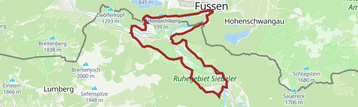
Entlang der Vils nach Pfronten | Radtour
A short family ride along the river from the little town of Vils across the border to Pfronten-Ried, passing the Vilser quarry.
- 7.8 km
- Distance
- 90 m
- Ascent
- 47 min
- Duration
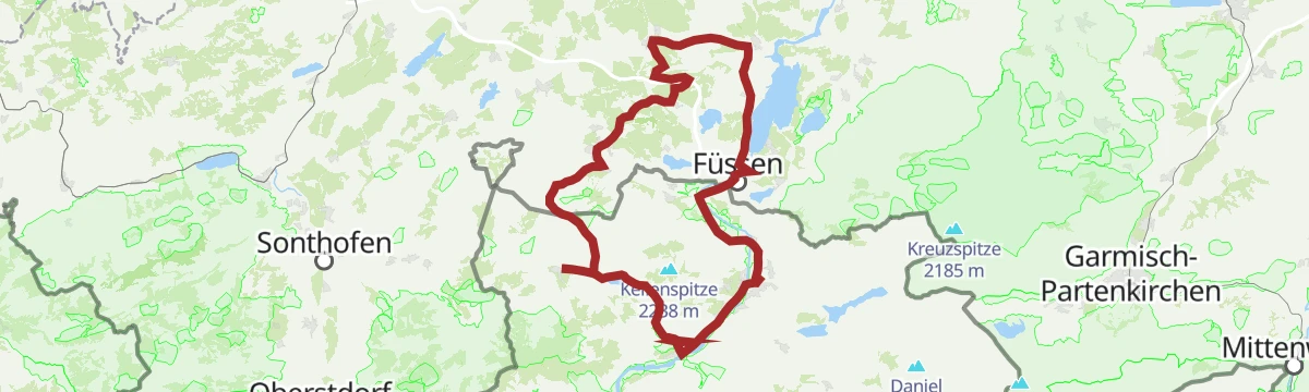
Oberjochrunde
A long road circuit from Vils over the Oberjochpass at 1,150 m, crossing the Wertach-Iller watershed and passing the Wiedhag-Alpe.
- 82.7 km
- Distance
- 1 101 m
- Ascent
- 8 h 22 min
- Duration
- 194
- Check-ins
Gamskopf Panorama Weg
Few-minute summit path from the Füssener Jöchle top station onto the Gamskopf, with the Tannheim valley and Allgäu peaks arrayed around.
- 453 m
- Distance
- 58 m
- Ascent
- 21 min
- Duration
- 110
- Check-ins
Über die Tannheimer Berge: Etappe 2 | Bad Kissinger Hütte - Musauer Alm
Second stage over the Tannheim range, traversing from the Bad Kissinger Hütte past the Füssener Jöchl and Reintaljöchl to the Otto-Mayr-Hütte and the Musauer Alm.
- 8.3 km
- Distance
- 402 m
- Ascent
- 2 h 59 min
- Duration
- 244
- Check-ins
Zur Bad Kissinger Hütte über den Gräner Höhenweg
Balcony route from Grän climbing high along the valley flank to the hut beneath the Aggenstein; the Füssener Jöchle lift offers a shortcut for the return.
- 12.8 km
- Distance
- 1 142 m
- Ascent
- 7 h 11 min
- Duration
- 273
- Check-ins
Kleine Seentour Allgäu | Radtour
A lake circuit over the Vilser Scharte to Hohenschwangau, taking in the Schwansee and the Alatsee.
- 23.6 km
- Distance
- 485 m
- Ascent
- 2 h 33 min
- Duration
- 58
- Check-ins
Auf König Ludwigs Spuren
A long road tour from Vils to the castle village of Hohenschwangau and on to Füssen, returning by the Tannheimer Tal below the Breitenberg.
- 81.0 km
- Distance
- 1 452 m
- Ascent
- 8 h 33 min
- Duration
- 117
- Check-ins
Rundwanderung zur Salober Alm
Gentle circuit to the Salober Alm beneath the Vilser Scharte on the Tirol-Allgäu border ridge, an easy half-day with a hut stop at the midpoint.
- 5.5 km
- Distance
- 294 m
- Ascent
- 2 h 7 min
- Duration
- 14
- Check-ins
Aggenstein Variante 1
Direct ascent of the Aggenstein from Grän via the Bad Kissinger Hütte and the Bayern-Tirol-Sattel; a short secured passage guards the rocky border summit.
- 9.7 km
- Distance
- 891 m
- Ascent
- 5 h 35 min
- Duration
- 157
- Check-ins
Gräner Höhenweg Rundwanderung (mit dem Tiroler Bergwege-Gütesiegel ausgezeichnet)
Circuit on Grän's certified mountain paths, following the high route past the Bad Kissinger Hütte and Sebenalpe along the Aggenstein flank.
- 12.8 km
- Distance
- 1 030 m
- Ascent
- 6 h 38 min
- Duration
- 171
- Check-ins
Füssen - Vilser Alm
A forest-road climb from the Alatsee over the Vilser Scharte to the alm at 1,230 m, with the Alpstrudelfall on the upper track.
- 25.9 km
- Distance
- 765 m
- Ascent
- 3 h 1 min
- Duration
- 33
- Check-ins
Gravelbike Tour 1.1 - Rund um die Tannheimer Berge
A long gravel circuit right around the Tannheimer Berge, from Hohenschwangau past the Alatsee and back below the Tannheimer Hütte valley station.
- 80.7 km
- Distance
- 1 573 m
- Ascent
- 8 h 38 min
- Duration
- 114
- Check-ins
Wanderung um den Alatsee
Shaded circuit of the Alatsee, a small, deep lake on the Füssen border known for the purple sulphur-bacteria layer in its depths; a lakeside restaurant marks the start.
- 2.7 km
- Distance
- 103 m
- Ascent
- 53 min
- Duration
- 12
- Check-ins
Rundwanderung Lechfall - Alatsee
From the Lechfall gorge at Füssen a woodland round past the Obersee and Mittersee to the Alatsee and back - a chain of four lakes with very little climbing.
- 11.2 km
- Distance
- 287 m
- Ascent
- 3 h 20 min
- Duration
- 25
- Check-ins
Sebenalm (1.650 m)
Long round from Grän over the Füssener Jöchle and past the Vilser Alm to the Sebenalpe at 1,650 m on the quiet Vils side of the border ridge.
- 13.7 km
- Distance
- 1 185 m
- Ascent
- 7 h 31 min
- Duration
- 129
- Check-ins
Zum Alatsee | MTB Tour
A mostly flat mountain-bike run from the Lech valley over the Vilser Scharte to the Alatsee, past the Bärenfalle and the Weißwand crag.
- 28.1 km
- Distance
- 345 m
- Ascent
- 2 h 49 min
- Duration
- 5
- Check-ins
Seenrunde
A long circuit linking the lakes of the Tannheimer Tal and the Vils valley on quiet valley roads.
- 92.4 km
- Distance
- 1 125 m
- Ascent
- 9 h 15 min
- Duration
- 107
- Check-ins
 Fischerhütte 792 m
- Breitenberg Bistro 844 m
 Forellenteich 930 m
- Touristinformation Tannheim 1 098 m
- Pizzeria Mama Mia 1 100 m
- Dorfer Weiher 865 m
- +12
Wanderung zum keltischen Baumkreis
Easy walk from Vils to the Celtic tree circle, a planted ring in which each birth date has its own tree species, set on the meadows near the town; flat, family-friendly paths.
- 4.8 km
- Distance
- 99 m
- Ascent
- 1 h 22 min
- Duration
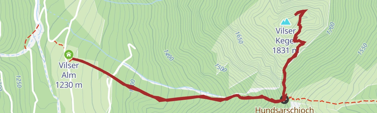
Gipfelwanderung Vilser Kegel ab Vilser Alm
Short, steep summit push from the Vilser Alm over the Hundsarschjoch onto the Vilser Kegel's rocky cone, with a summit view over Vils, Füssen and the Lechtal Alps.
- 3.8 km
- Distance
- 577 m
- Ascent
- 3 h 19 min
- Duration
- 19
- Check-ins
Wanderung zur Bad Kissinger Hütte
Long approach through the Vils mountains via the Vilser Alm and the Vilser Jöchl to the hut below the Aggenstein, with the Sebenalpe as a rest stop on the way.
- 16.5 km
- Distance
- 1 186 m
- Ascent
- 7 h 50 min
- Duration
- 76
- Check-ins
Forggenseerunde
A ninety-kilometre road loop from Vils to the Forggensee at Füssen, coming back through the Tannheimer Tal past the Haldensee.
- 92.7 km
- Distance
- 1 385 m
- Ascent
- 9 h 32 min
- Duration
- 106
- Check-ins
Wanderung zur Vilser Alm
Steady forest-track walk from Vils up to the Vilser Alm, a managed alm inn beneath the Vilser Kegel; a straightforward half-day with a hut lunch as its goal.
- 6.5 km
- Distance
- 360 m
- Ascent
- 2 h 34 min
- Duration
- 10
- Check-ins
Über die Tannheimer Berge: Etappe 1 | Vils - Bad Kissinger Hütte
Opening stage from Vils, climbing past the Vilser Alm and over the Vilser Jöchl to the Bad Kissinger Hütte below the Aggenstein - the trek's biggest single ascent.
- 10.1 km
- Distance
- 1 131 m
- Ascent
- 6 h 49 min
- Duration
- 76
- Check-ins
Gaichtpassrunde
A road loop over the Gaichtpass into the Tannheimer Tal, passing the Haldensee and the Altes Zollhaus before the descent back to the Lech.
- 56.5 km
- Distance
- 732 m
- Ascent
- 5 h 42 min
- Duration
- 93
- Check-ins
Wanderung durch das Ranzental
Level ramble through the Ranzental on the outskirts of Vils, following the quiet side valley on farm and forest tracks; reachable by both road and rail.
- 7.3 km
- Distance
- 72 m
- Ascent
- 1 h 53 min
- Duration
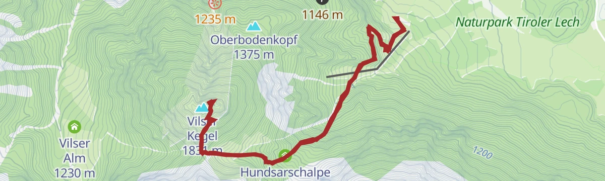
Gipfelwanderung Vilser Kegel via Hundsarschalpe
Steep round onto the Vilser Kegel by way of the Hundsarschalpe and its joch, with the Konradshüttle en route - a rugged little summit above Vils.
- 7.8 km
- Distance
- 941 m
- Ascent
- 5 h 36 min
- Duration
- 11
- Check-ins
Highlighttour Musau - Pinswang - Vils | Radtour
A rolling tour through the Vils and Pinswang side of the Lech valley, over the Kniepass and the Vilser Scharte to the Alatsee.
- 30.0 km
- Distance
- 505 m
- Ascent
- 3 h 8 min
- Duration
- 32
- Check-ins
Lechfall - Alatsee | Radtour
A cross-border ride from Pinswang over the Vilser Scharte to Füssen, passing the Wiedemannweiher and the Magnusblick viewpoint.
- 18.1 km
- Distance
- 327 m
- Ascent
- 1 h 55 min
- Duration
- 30
- Check-ins
No routes of this kind in Vils yet.
The region's own picks

Featured route
Gipfelwanderung Aggenstein ab Bad Kissinger Hütte
Short summit push from the Bad Kissinger Hütte over the Bayern-Tirol-Sattel to the rocky top of the Aggenstein, straddling the Austro-Bavarian border.
Planning a trip to Vils?
Everything else Tyrol has, in one place


Take Vils with you into the mountains
Every route on this page with 3D terrain, GPX navigation and offline maps — including the valleys with no signal.
Data sources
- Official website: reutte.com ↗
- Routes and highlights: Naturparkregion Reutte, Tannheimer Tal
- Published as open data by the tourist boards named above.
- Region summary generated from the board's own material.
