
 Via ferrata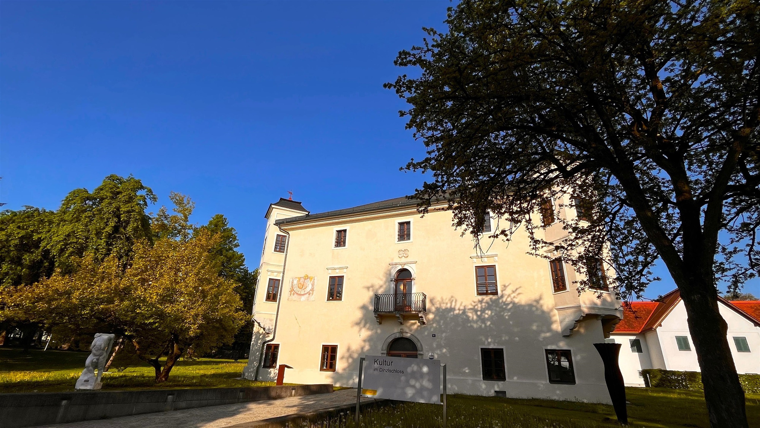
 Mountain hut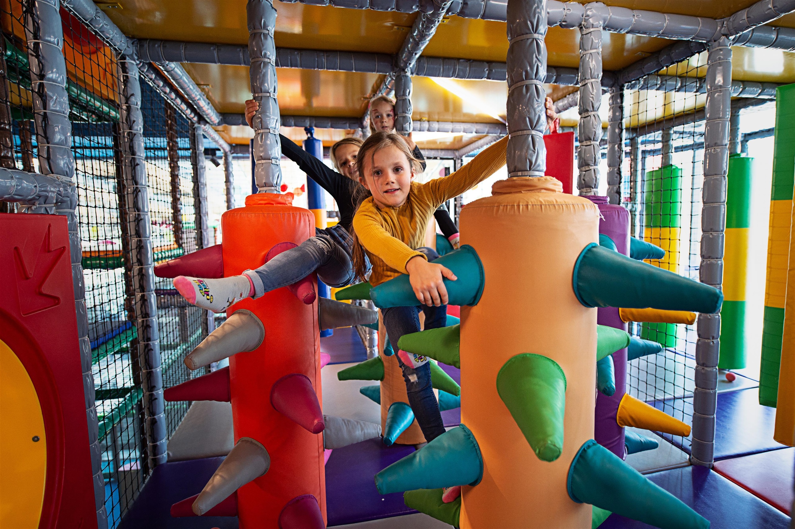
 Historic site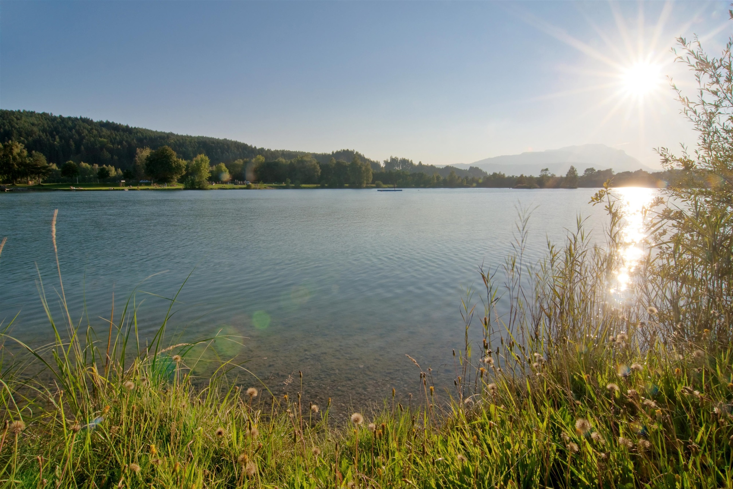
 Viewpoint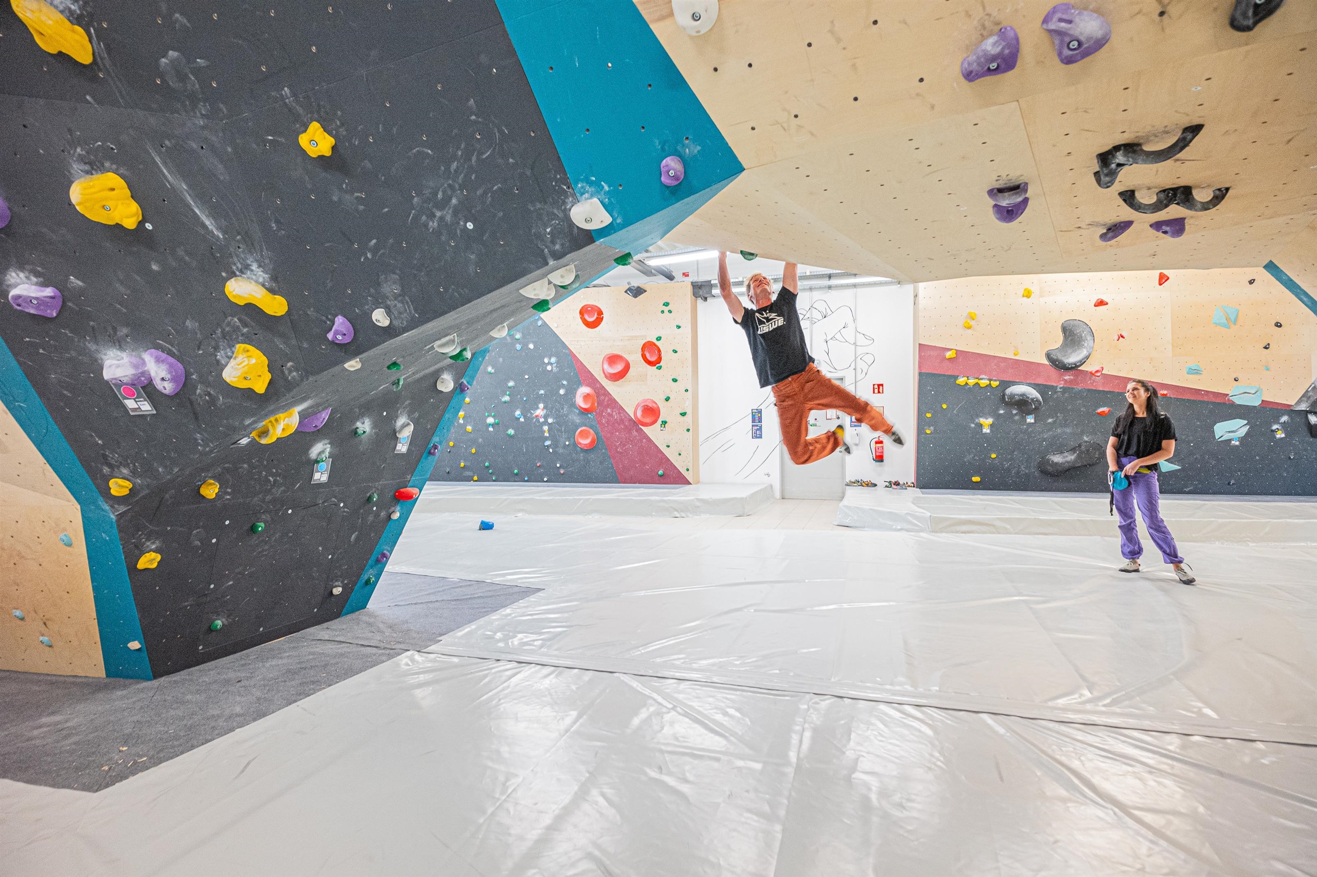













Curated by Villach Tourismus
Villach
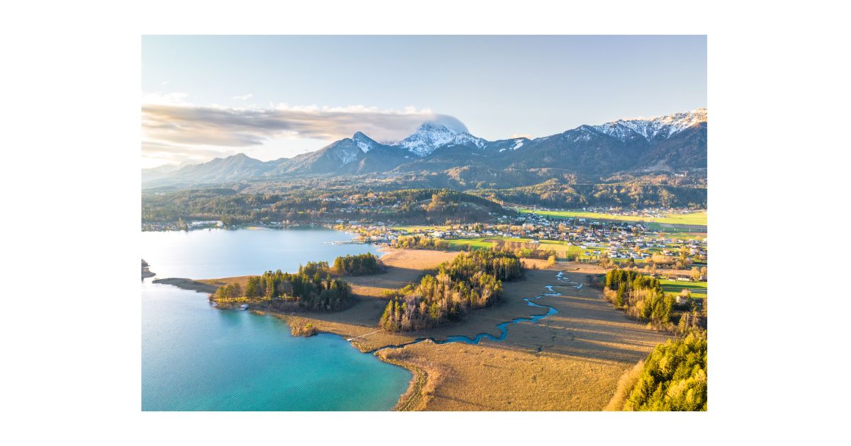
A road and rail crossroads on the Drau where routes to Italy and Slovenia diverge, Kärnten's second city with the Faaker See and the Dobratsch massif on its doorstep.
- 22Highlights
- 65Routes
- Featured summit · Dobratsch
Highlights
The 20 highest-rated · see the rest on visitvillach.at ↗
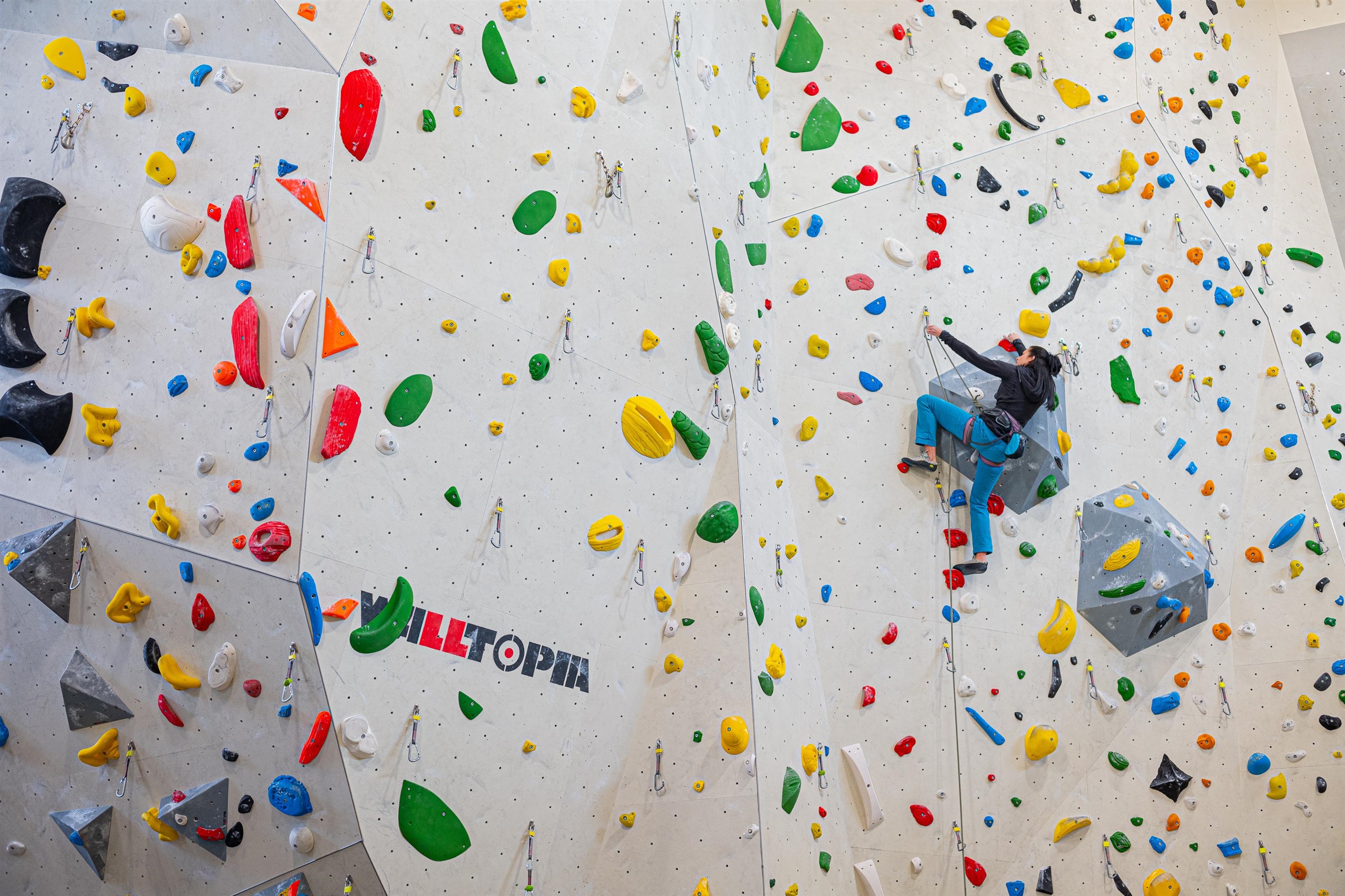
Kletterhalle Villach
An indoor climbing hall in Villach with roped walls and bouldering, a year-round training venue for the Carinthian lake district.
Dinzlschloss
A small castle in Villach used as a cultural venue, hosting galleries, craft displays and changing art exhibitions.
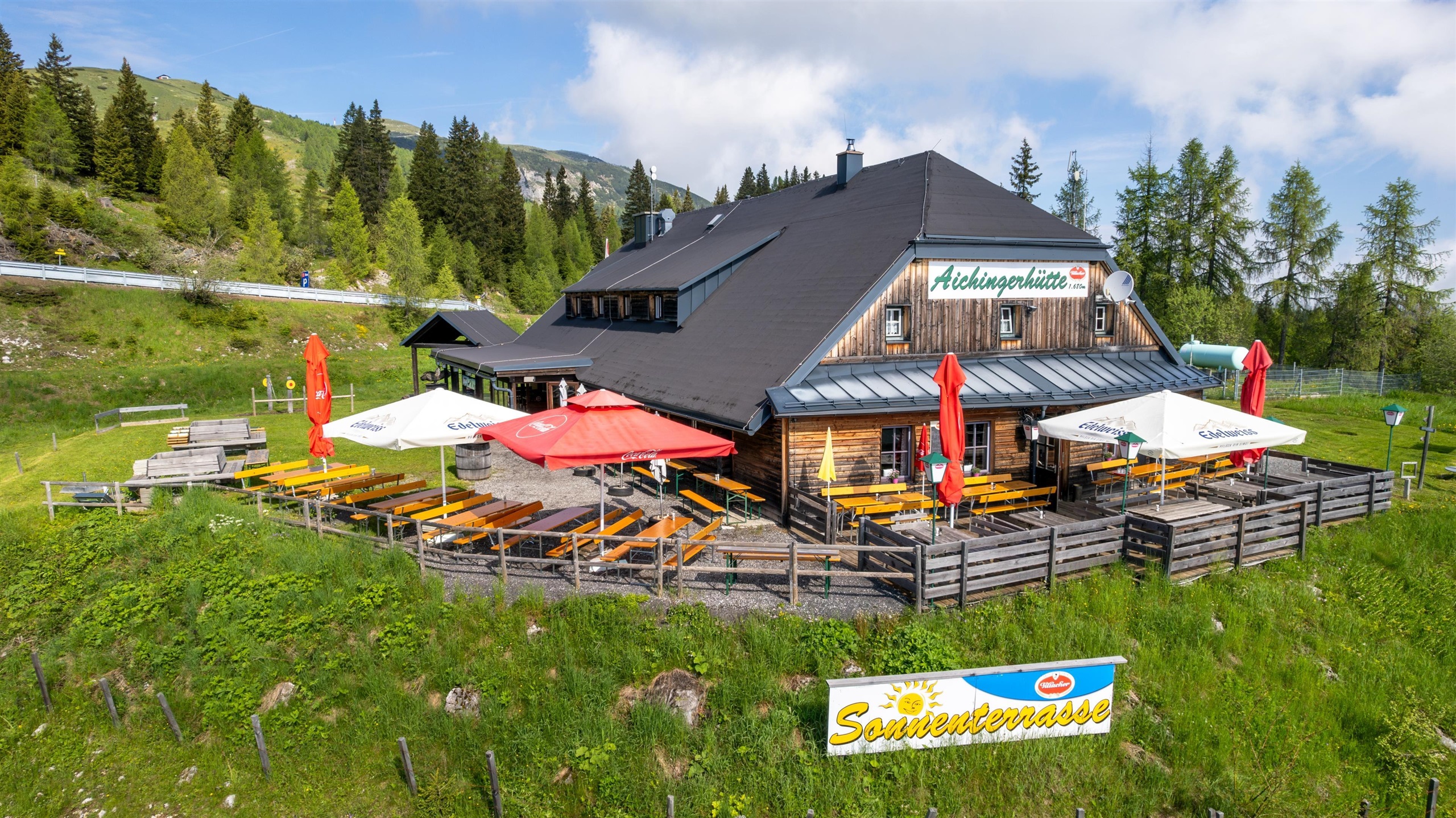
Aichingerhütte
A mountain hut on the Dobratsch above Warmbad Villach, serving Austrian home cooking alongside Thai dishes to walkers on the plateau.
Lollipop - Kärntens größte Spielewelt
A large indoor and outdoor children's play world at Warmbad Villach, with slides, climbing zones and supervised play areas.
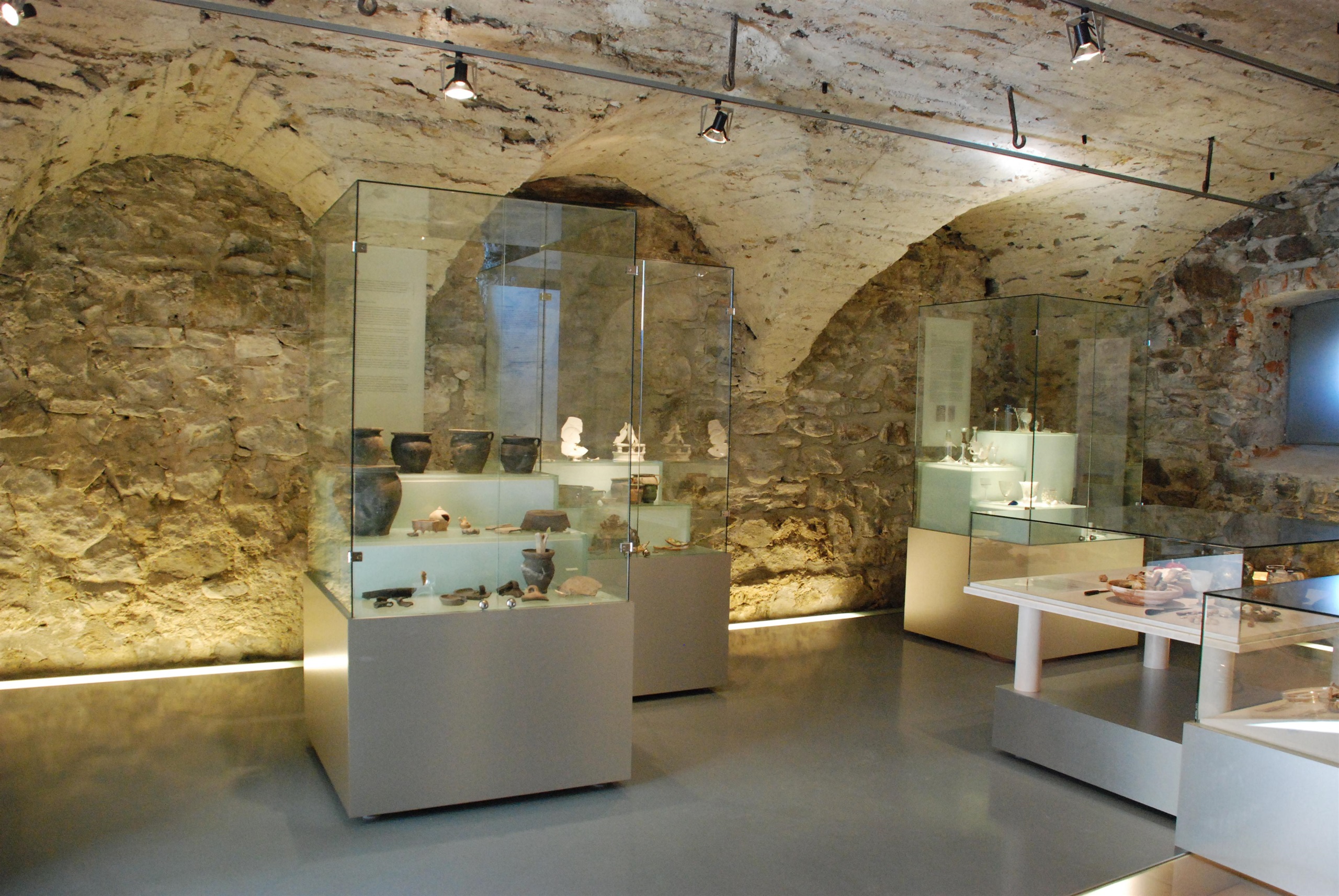
Schauraum Villacher Burg
A display room in the surviving parts of Villach's old town castle, presenting finds and material on the building's history.
actionbeach / Silbersee
A sport-oriented bathing beach at the Silbersee near Villach, combining swimming with beach volleyball and tennis courts.
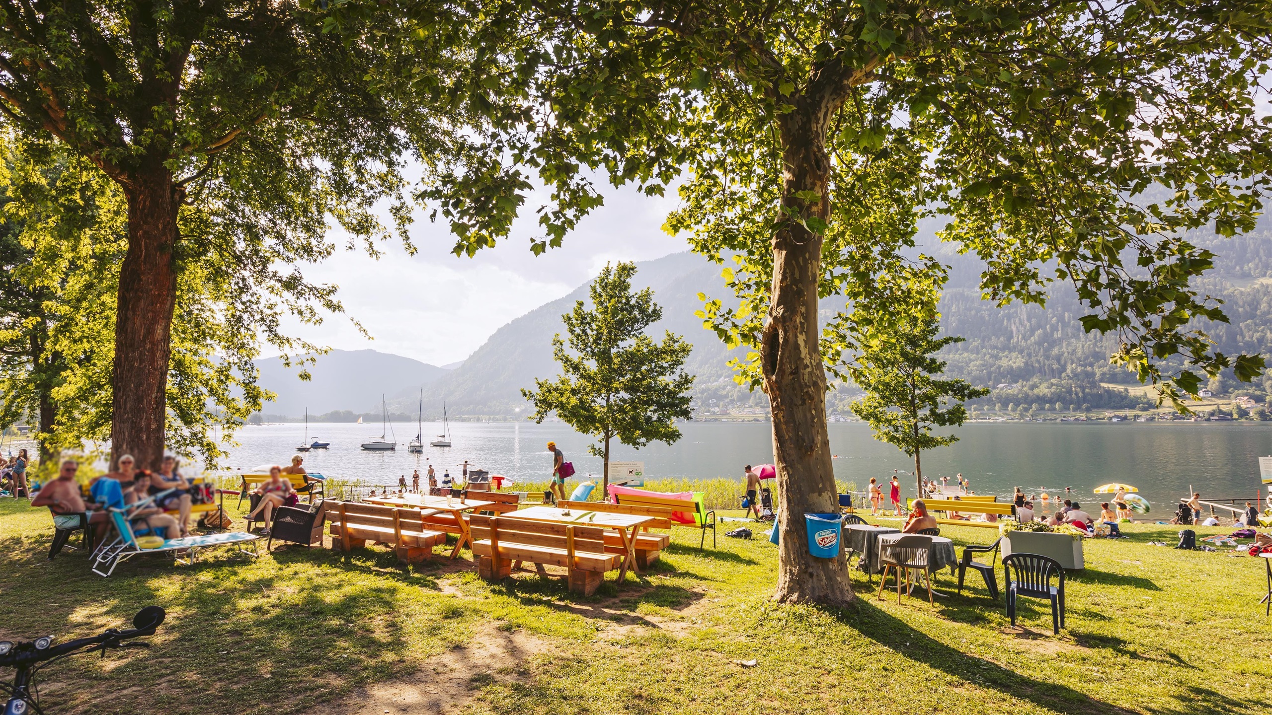
bikebeach St. Andrä / Ossiacher See
A bathing beach at St. Andrä on the Ossiacher See geared to cyclists, a swimming stop on the lakeside bike route near Villach.
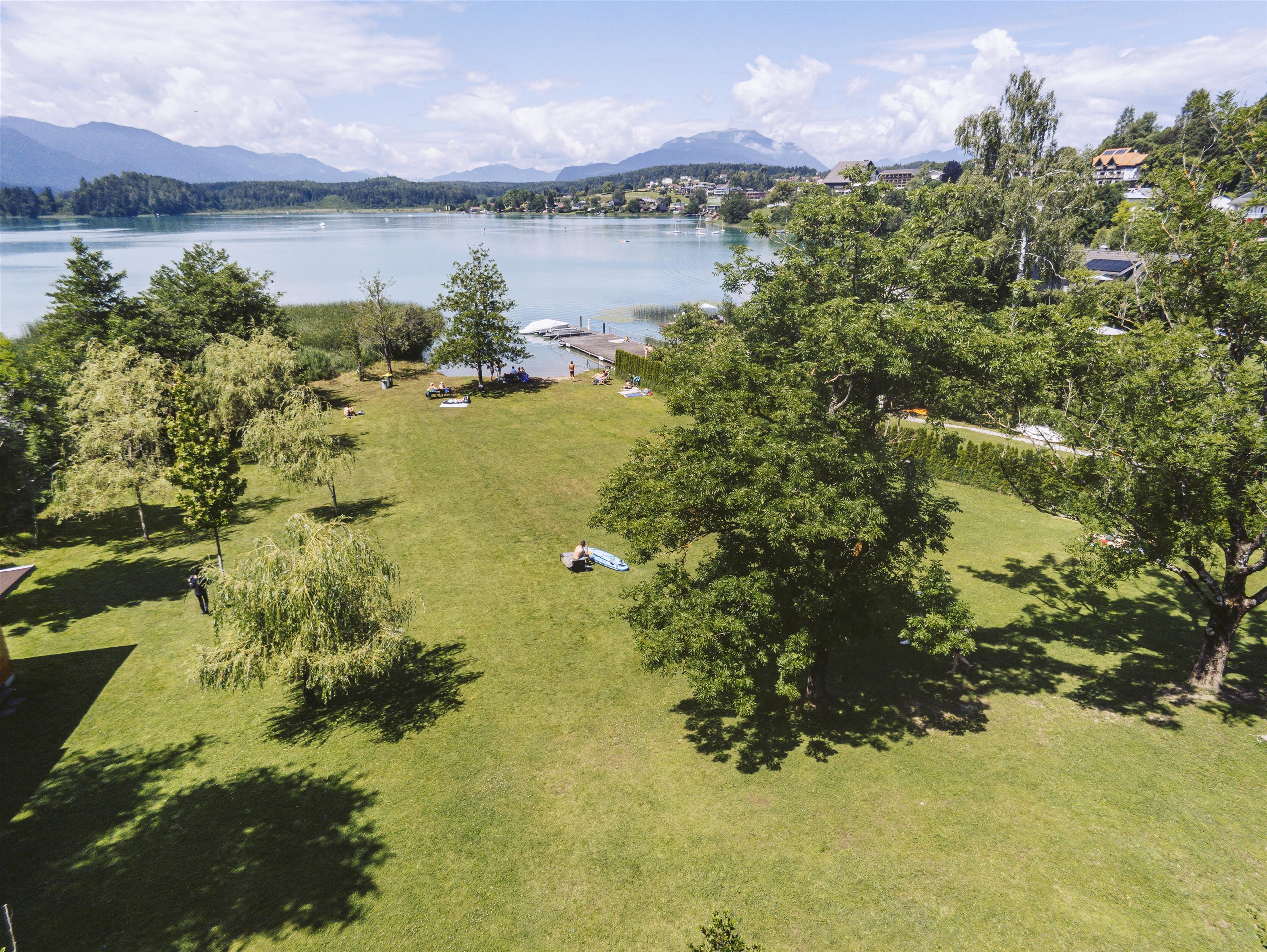
greenbeach Tschebull / Faaker See
A grassy bathing beach on the Faaker See near Egg, one of the marked swimming spots on the turquoise Carinthian lake.
naturebeach / Vassachersee
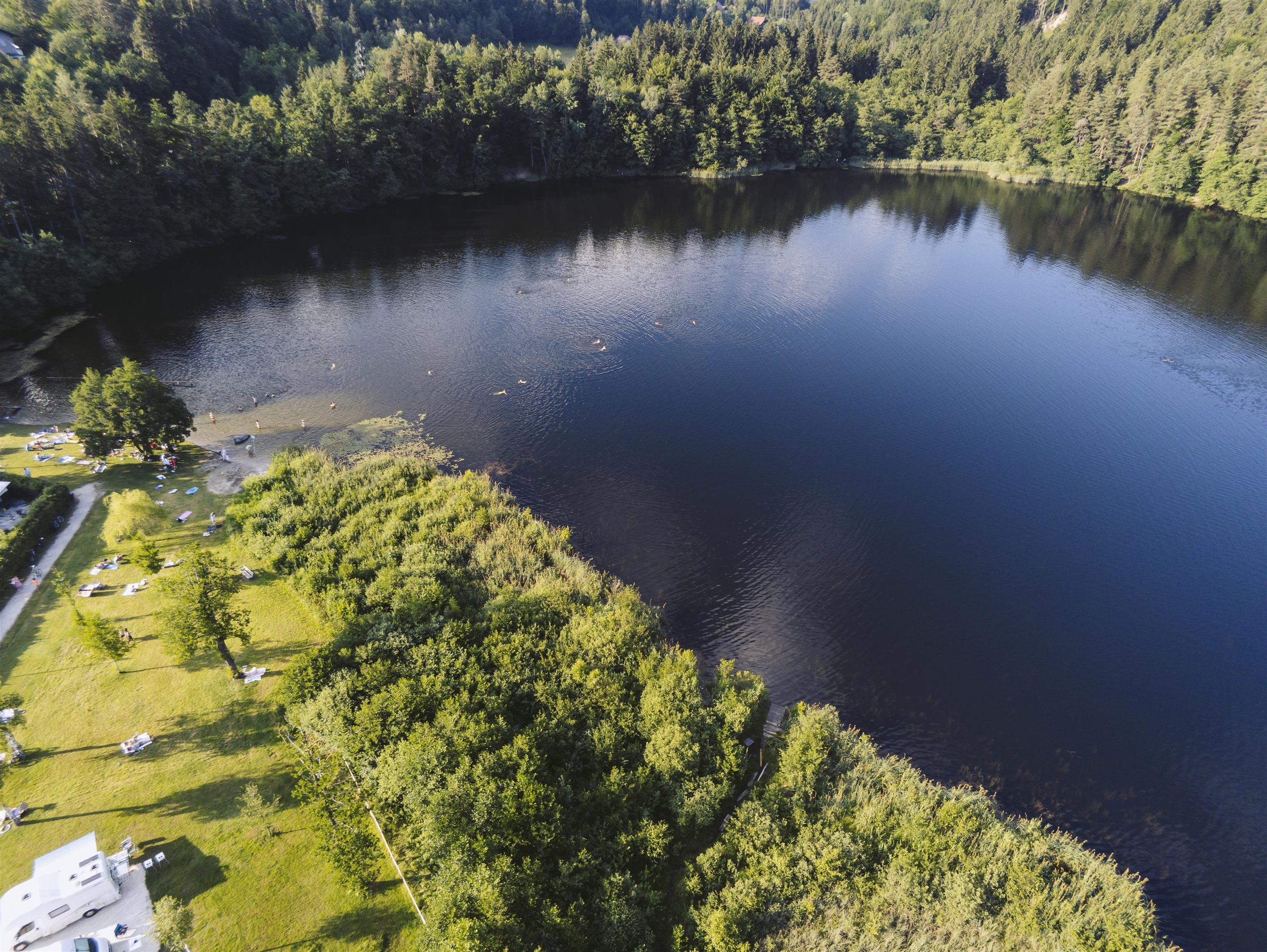
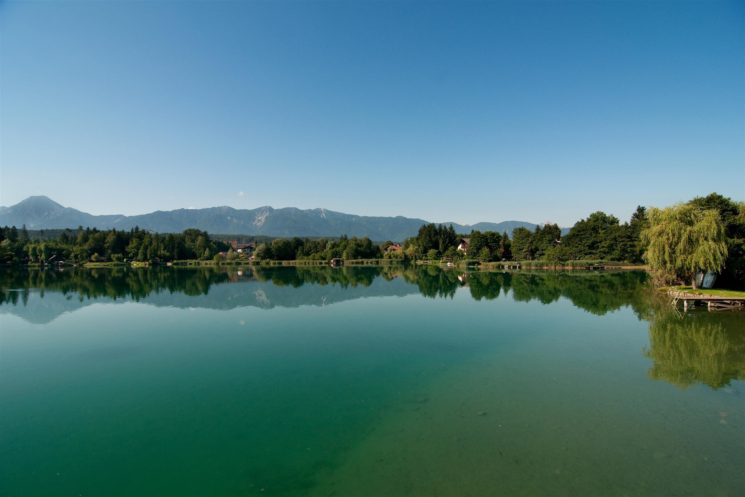
A natural bathing beach at the small Vassachersee on the northern edge of Villach, a quieter alternative to the big lakes.
relaxbeach / Magdalenensee
A calm bathing beach at the Magdalenensee near St. Magdalen outside Villach, laid out for unhurried swimming and boule.
Evangelische Kirche im Stadtpark
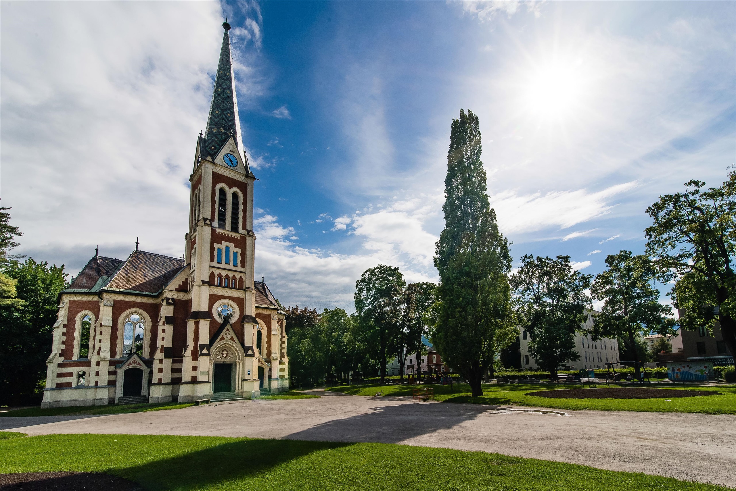
The neo-Gothic Protestant church in Villach's Stadtpark, a 19th-century landmark set among the trees near the town centre.
VOLUME Bouldern Villach
An indoor bouldering gym in the town of Villach in Carinthia, offering rope-free climbing walls for training year-round regardless of weather.
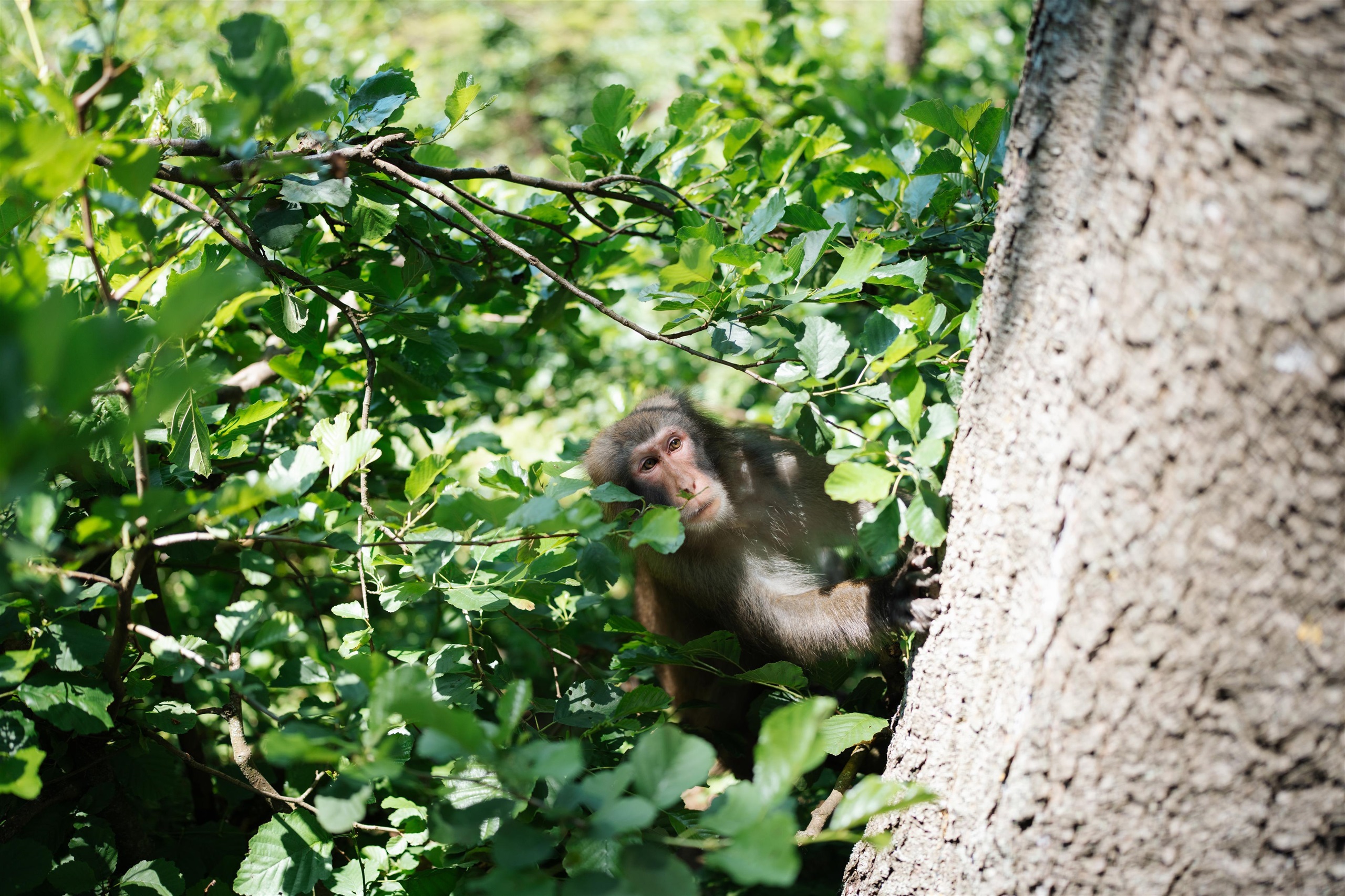
Abenteuer Affenberg
A monkey park at Landskron near Villach where a troop of Japanese macaques roams a wooded hillside enclosure, visited on guided walks through the grounds.
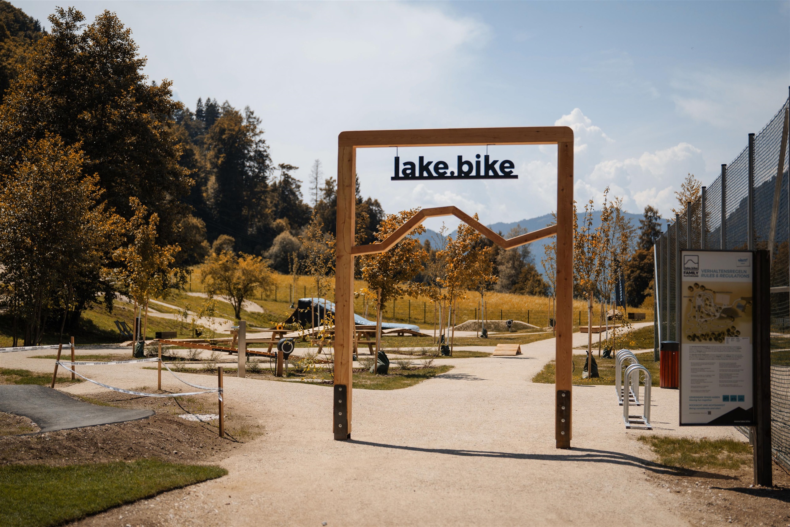
lake.bike Family playground Ossiacher See
A family activity area at Landskron near the Ossiacher See combining a bike playground with minigolf and beach volleyball close to the lakeshore.
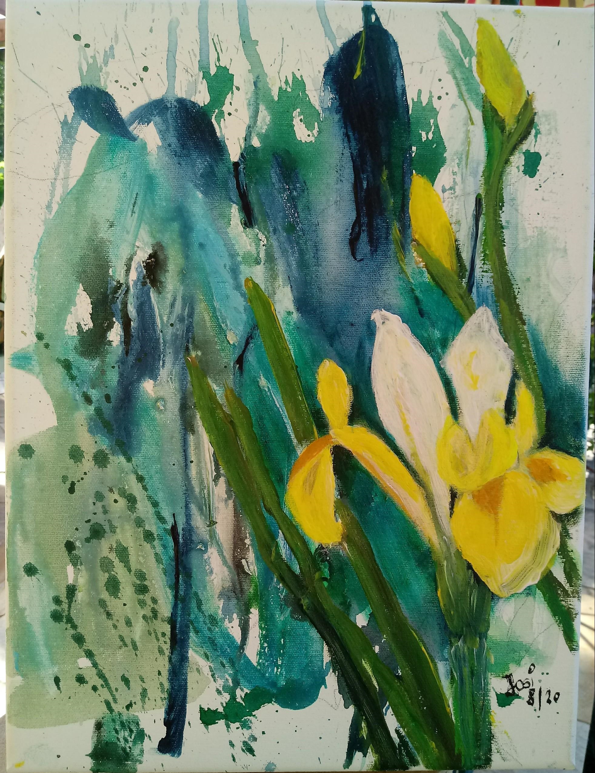
Kleine Stiegengalerie 50
A small private gallery at Drobollach on the Faaker See showing paintings and works by regional artists.
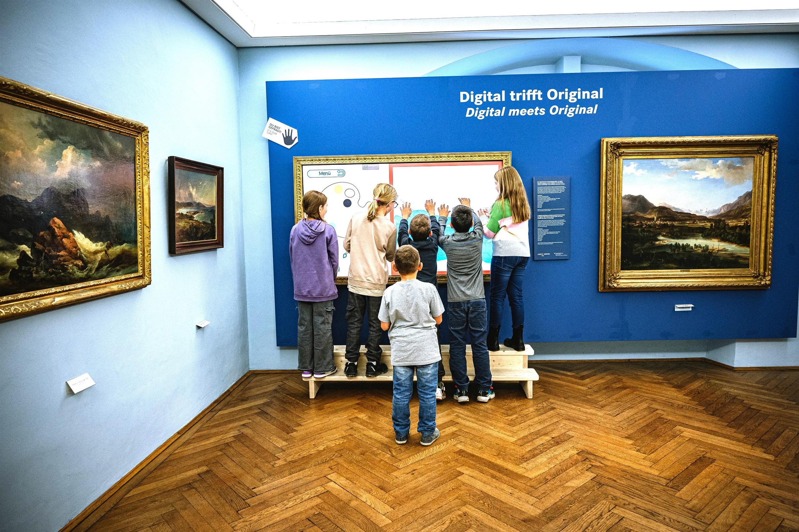
Museum der Stadt Villach
The municipal museum of Villach, covering the town's history from Roman finds to the great 1348 earthquake and its role as a Carinthian trading centre.
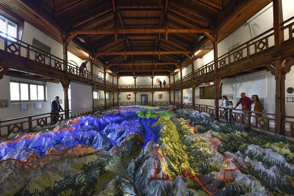
Relief von Kärnten
A walk-around scale relief model of Carinthia displayed in Villach's Schillerpark, showing the whole province's mountains, lakes and valleys in miniature.
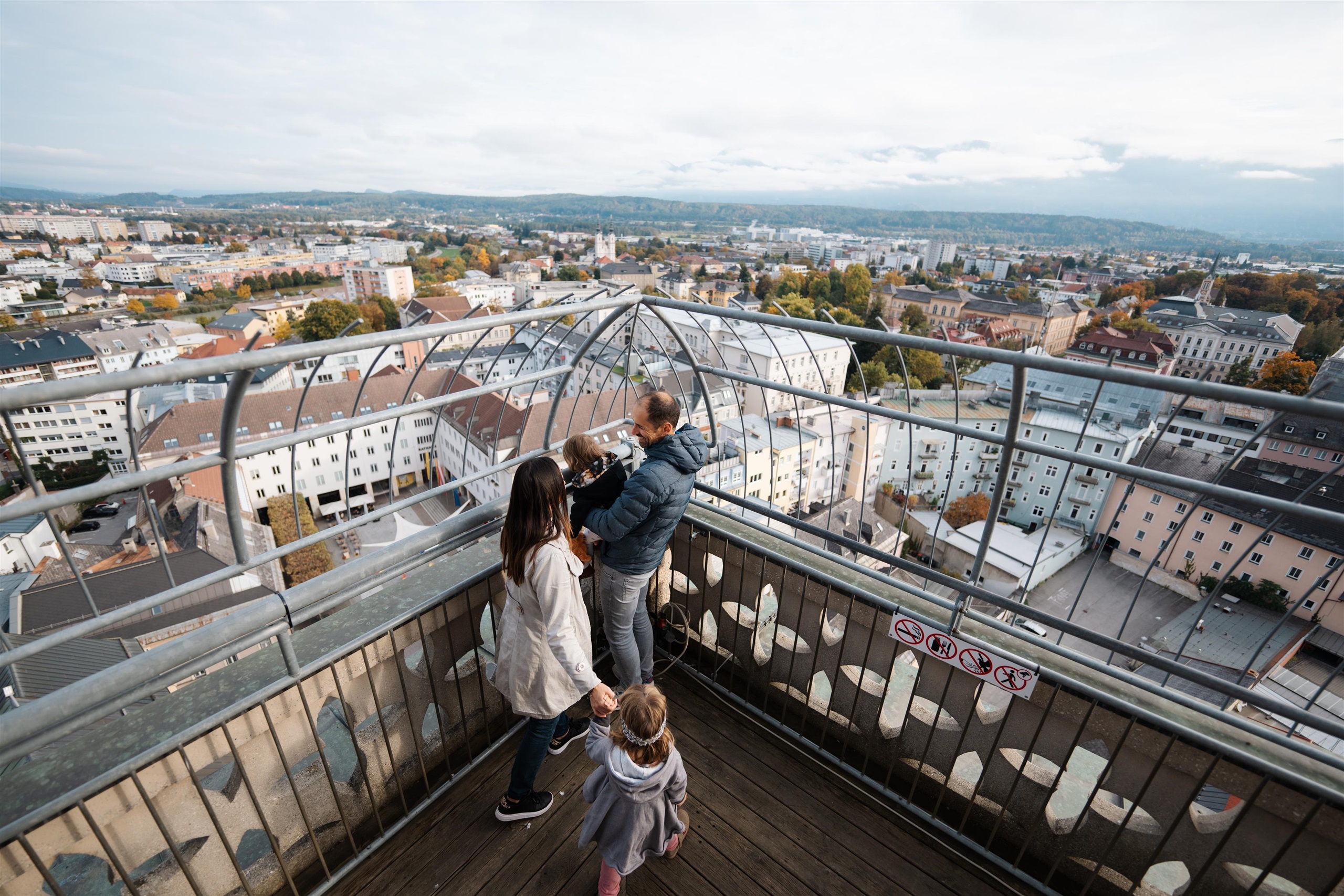
Stadtpfarrturm Villach
The Gothic tower of Villach's main parish church of St Jakob, climbed by stairs for a view over the old town, the Drau and the Karawanks.
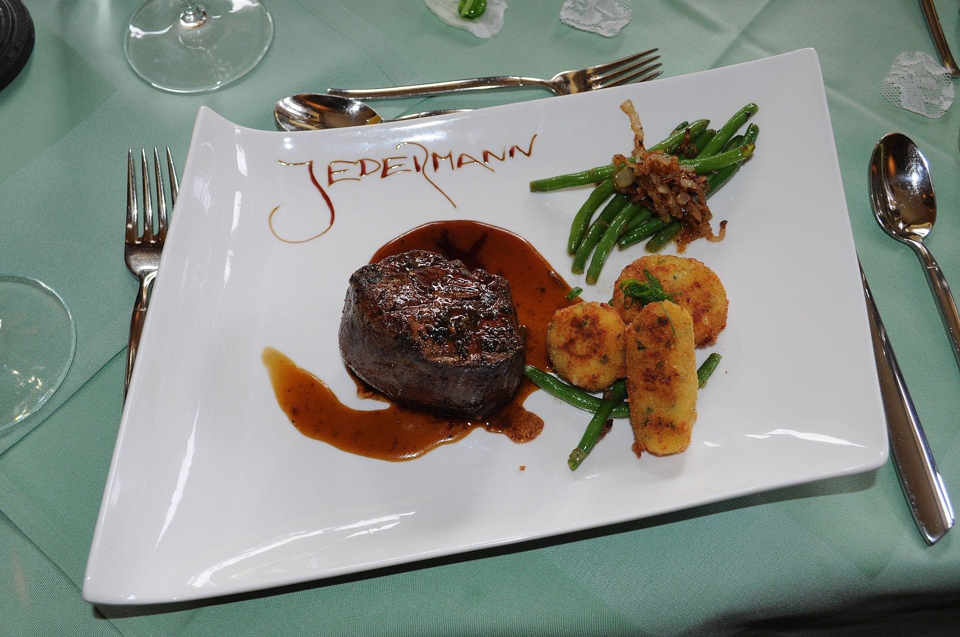
Gasthof Jedermann
A guesthouse restaurant in Villach serving Austrian and regional cooking, a traditional stop on the edge of the Carinthian town.
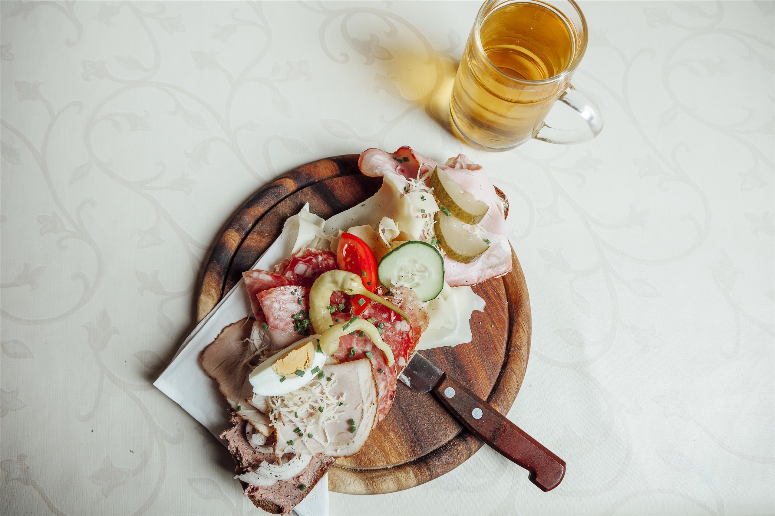
Toni´s Buschenschenke
A Buschenschank at Drobollach near the Faaker See, serving cold platters and local produce in the Carinthian farm-tavern manner.
Nothing of this kind in Villach.
Routes
50 routes, an even mix of activities · see the rest on visitvillach.at ↗
Tabor Rundweg
A 4 km loop up onto the Tabor above the Faaker See, with a hut at the top and a view over the water that works well toward sunset.
- 4.2 km
- Distance
- 178 m
- Ascent
- 1 h 26 min
- Duration
- 15
- Check-ins
4-Gipfel-Aussichtstour
A moderate round near the Faaker See linking four low tops — Tabor, Bleiberg, Petelin and Wauberg — with the Taborhütte for a break above the lake.
- 12.4 km
- Distance
- 647 m
- Ascent
- 4 h 41 min
- Duration
- 19
- Check-ins
Dobratsch - Nordanstieg - Normalweg
The standard north approach to the Dobratsch: 20 km and nearly 1,300 m of ascent below the north face, returning past the Fellacher huts.
- 20.0 km
- Distance
- 1 285 m
- Ascent
- 8 h 45 min
- Duration
- 46
- Check-ins
Dobratsch - Rosstratte bis Zehnernock
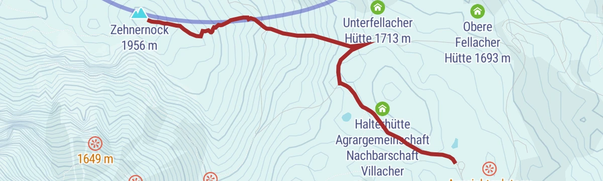
A short ski tour from the Rosstratte up to the Zehnernock, gaining a little over 200 m with the 10er Schutzhaus close by.
- 1.4 km
- Distance
- 217 m
- Ascent
- 0 m
- Descent
- 38 min
- Duration
- 33
- Check-ins
Dobratsch - Heiligengeist bis Rosstratte
A moderate ski climb of some 825 m from Heiligengeist up Villach's home mountain to the Rosstratte, passing the Pogöriacher Hütte.
- 4.6 km
- Distance
- 825 m
- Ascent
- 0 m
- Descent
- 2 h 19 min
- Duration
- 7
- Check-ins
Alban Berg Trail - T78
A short, nearly flat singletrack in the trail network on the Ossiach side of the lake, easy enough for a first run.
- 1.4 km
- Distance
- 0 m
- Ascent
- 10 min
- Duration
Faaker See Runde - Nr. 20
A flat circuit of the lake shore from Faak am See, past the Strandcamping Gruber, with barely any climbing.
- 10.6 km
- Distance
- 66 m
- Ascent
- 60 min
- Duration
- 3
- Check-ins
Vom Ossiacher See auf die Gerlitzen Alpe
A long day from the lake shore up to the Gipfelhaus at 1,909 m on the Gerlitzen Alpe, with the campsite belt of Ossiach at the start.
- 78.8 km
- Distance
- 1 837 m
- Ascent
- 8 h 43 min
- Duration
- 63
- Check-ins
Dobratsch - Geolehrpfad
A barrier-free geology path on the Rosstratte at about 1,730 m, where the rock types found in the Naturpark Dobratsch can be examined and touched at close range.
- 626 m
- Distance
- 10 m
- Ascent
- 10 min
- Duration
- 11
- Check-ins
Hundsmarhof
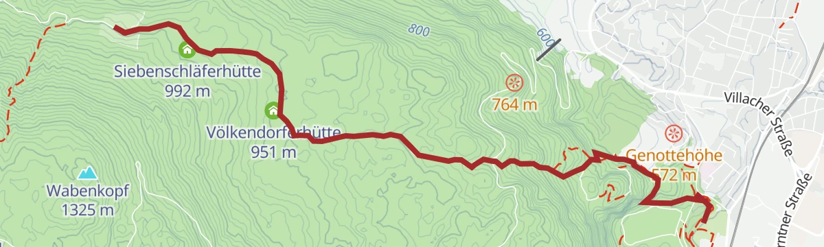
A moderate climb from Warmbad Villach up to the Völkendorfer Alm, returning past the Siebenschläferhütte; about 500 m of ascent spread over 13 km.
- 13.0 km
- Distance
- 521 m
- Ascent
- 4 h 19 min
- Duration
- 4
- Check-ins
Dobratsch Runde - Der Weg um den Naturpark - Etappe 01
The opening stage of the five-part circuit of the Dobratsch, leaving Warmbad Villach over the Tscheltschnigkogel and on past the Siebenschläfer and Völkendorfer huts.
- 17.4 km
- Distance
- 617 m
- Ascent
- 5 h 14 min
- Duration
- 9
- Check-ins
Alban Berg Trail Sektion 2 und 3
Two short linked singletrack sections in the Villach trail network, barely half a kilometre of easy riding with almost no height gain.
- 438 m
- Distance
- 0 m
- Ascent
- 3 min
- Duration
WM-Kurs 1987
The old 1987 world championship road course near Drobollach, a rolling 12 km circuit on the western edge of Villach.
- 11.6 km
- Distance
- 186 m
- Ascent
- 1 h 13 min
- Duration
- 2
- Check-ins
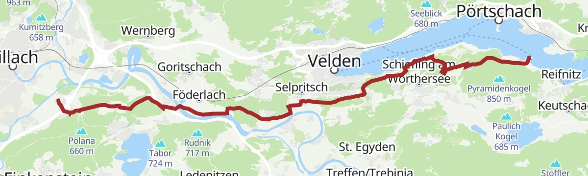
Transromanica-Tour 3: Ossiacher See - Klagenfurt am Wörthersee
A nearly level long-distance stage linking the two big Carinthian lakes, running along the Wörthersee through Velden and Pörtschach.
- 63.0 km
- Distance
- 128 m
- Ascent
- 5 h 44 min
- Duration
- 33
- Check-ins
Dobratsch - Gams- und Gipfelblick
An easy stroll in the Naturpark Dobratsch with lookouts and sun terraces along the way, passing the Aichingerhütte and both Fellacher huts.
- 2.7 km
- Distance
- 109 m
- Ascent
- 53 min
- Duration
- 8
- Check-ins
Seerundweg
A level 11 km circuit of the Faaker See with a detour up onto the Taborhöhe.
- 11.4 km
- Distance
- 115 m
- Ascent
- 2 h 57 min
- Duration
- 3
- Check-ins
Weg des Buches, 12. Etappe: Bad Bleiberg - Warmbad Villach
The twelfth day of the Weg des Buches, dropping from Bad Bleiberg past the Friedlhütte and the Völkendorfer huts to Warmbad Villach in about four hours.
- 17.3 km
- Distance
- 245 m
- Ascent
- 5 h 2 min
- Duration
- 7
- Check-ins
Alban Berg Uphill Trail - T79
A short purpose-built uphill singletrack in the Villach trail network, climbing 40 m in under half a kilometre to reach the descent above.
- 463 m
- Distance
- 10 m
- Ascent
- 3 min
- Duration
Dobrova Tour - Nr. 21
A forest-road round of about 14 km on the wooded Dobrova above the Faaker See, with only moderate climbing.
- 14.4 km
- Distance
- 223 m
- Ascent
- 1 h 30 min
- Duration
Ö-Tour Feeling
A long, climbing loop from the lakeside up to the huts at around 1,700 m, linking the Aichingerhütte, Pogöriacher Hütte and Rosstrattenstüberl.
- 62.7 km
- Distance
- 1 566 m
- Ascent
- 7 h 2 min
- Duration
- 29
- Check-ins
Burg Landskron - Burgherrenrunde
A short circuit on well-kept forest roads through the woods below Burg Landskron, passing the Schlossteich on the way out and back.
- 3.7 km
- Distance
- 189 m
- Ascent
- 1 h 22 min
- Duration
- 3
- Check-ins
 Schlossteich 622 m
- Schlossteich 622 m
Dobrova Waldrundweg
An almost level forest circuit through the Dobrova woodland above Drobollach, 12 km long with barely 170 m of climbing.
- 11.9 km
- Distance
- 194 m
- Ascent
- 3 h 16 min
- Duration
- 2
- Check-ins
Jakobsweg Kärnten, Variante Etappe 7: Villach - St. Jakob ob Ferndorf
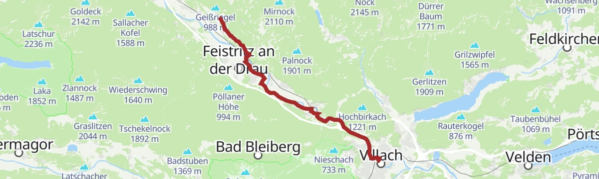
The variant seventh day of the Carinthian Camino, running from Villach north-west to St. Jakob ob Ferndorf in roughly seven and a half hours of walking.
- 28.8 km
- Distance
- 421 m
- Ascent
- 7 h 33 min
- Duration
- 5
- Check-ins
Transfer Alban Berg Uphill Trail - T79 und Alban Berg Trail - T78
A short link ride between the uphill track and the descent above Villach, under a kilometre of easy climbing to reach the trail head.
- 920 m
- Distance
- 72 m
- Ascent
- 8 min
- Duration
Tour auf den Oswaldiberg - Nr.5
A short, steep forest-road climb from the edge of Villach up onto the Oswaldiberg, gaining 450 m of height in under 8 km.
- 7.9 km
- Distance
- 405 m
- Ascent
- 1 h 7 min
- Duration
E-Bike Tour 10 Seen
A long ride linking the lakes around Villach, from Velden and Techelsberg on the Wörthersee across to the Fleetsee and the campsites at Plörz.
- 73.2 km
- Distance
- 518 m
- Ascent
- 6 h 59 min
- Duration
- 26
- Check-ins
Archäologie Pfad Warmbad
Thirteen interpretive boards trace settlement above Warmbad, from Bronze Age burial mounds and the late-antique hilltop site on the Tscheltschnigkogel to 19th-century lime kilns.
- 6.0 km
- Distance
- 203 m
- Ascent
- 1 h 53 min
- Duration
- 2
- Check-ins
Bergsturzgebiet Schütt
A short and nearly flat walk through the Schütt, the jumbled rockfall landscape below the south side of the Dobratsch.
- 7.7 km
- Distance
- 26 m
- Ascent
- 1 h 51 min
- Duration
Jakobsweg Kärnten, 7. Etappe: Villach - St. Jakob ob Ferndorf
The seventh day of the Carinthian pilgrim route, some 27 km from the centre of Villach north-west to St. Jakob ob Ferndorf, about seven hours on foot.
- 27.3 km
- Distance
- 311 m
- Ascent
- 6 h 55 min
- Duration
- 4
- Check-ins
Transfer Burg Landskron
A short, easy approach ride from the edge of Villach out to the castle hill above, with less than 200 m of climbing.
- 5.5 km
- Distance
- 163 m
- Ascent
- 38 min
- Duration
Tour rund um den Oswaldiberg - Nr.4
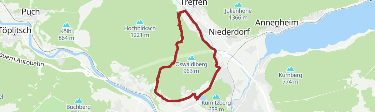
A gentler forest-road circuit around the flanks of the Oswaldiberg, keeping low above the western outskirts of Villach.
- 11.8 km
- Distance
- 266 m
- Ascent
- 1 h 18 min
- Duration
Zwei Seen Runde - Ossiacher See und Wörthersee (flach)
A long, near-level circuit between two Carinthian lakes, running through Pörtschach, Techelsberg and Velden before the return along the shore.
- 63.3 km
- Distance
- 389 m
- Ascent
- 5 h 59 min
- Duration
- 26
- Check-ins
Slow Trail Faaker See - Drobollach zur Halbinsel
One of Carinthia's Slow Trails, an easy and well-kept 4 km from Drobollach along the shore of the Faaker See to the peninsula.
- 4.0 km
- Distance
- 33 m
- Ascent
- 1 h 2 min
- Duration
- 2
- Check-ins
Burgruine Federaun
A family walk on nature and history themes that climbs gently to the ruined castle of Federaun above the Gail valley.
- 8.1 km
- Distance
- 160 m
- Ascent
- 2 h 18 min
- Duration
RSAT28 Marienpilgerweg 6. Etappe: Maria Wörth - Maria Gail
A long Marian pilgrim day of 28 km, roughly seven and a half hours from the lakeside church of Maria Wörth west to Maria Gail, passing the Trattnigteich near Föderlach.
- 27.7 km
- Distance
- 464 m
- Ascent
- 7 h 35 min
- Duration
- 4
- Check-ins
Ossiacher See Runde
A flat circuit of the whole lake, passing Bodensdorf and the string of lakeside campsites on both shores.
- 27.1 km
- Distance
- 81 m
- Ascent
- 2 h 29 min
- Duration
- 20
- Check-ins
Ossiacher See - Südufer
A family-friendly stretch of path along the south shore of the Ossiacher See, four kilometres with almost no climbing.
- 4.2 km
- Distance
- 100 m
- Ascent
- 1 h 12 min
- Duration
Stadt-See-Kloster
A long but level walk of 15 km along the Drau, linking the city of Villach with the lake shore and the former monastery at Ossiach.
- 15.4 km
- Distance
- 83 m
- Ascent
- 3 h 49 min
- Duration
- 4
- Check-ins
Ossiacher See Radweg - R2 und R2A
A flat lap of the Ossiacher See on the lakeside route, threading past the campsites on both shores.
- 28.2 km
- Distance
- 51 m
- Ascent
- 2 h 33 min
- Duration
- 15
- Check-ins
Woroun auf der Spur
A family adventure trail of about 4 km with play and discovery stations set along the way, easy enough for small children.
- 4.4 km
- Distance
- 104 m
- Ascent
- 1 h 16 min
- Duration
Dobratsch Runde - Der Weg um den Naturpark - Etappe 05
The closing stage of the Dobratsch circuit, a long and mostly level 21 km back to the thermal spa at Warmbad Villach.
- 20.7 km
- Distance
- 292 m
- Ascent
- 5 h 38 min
- Duration
- 3
- Check-ins
Radbus Tour von Tarvis zum Ossiacher See
A flat run from Tarvisio across to the Ossiacher See, past the Kanzelbahn at Annenheim.
- 42.8 km
- Distance
- 163 m
- Ascent
- 4 h 3 min
- Duration
- 13
- Check-ins
Alpengarten Dobratsch
Nearly 1,000 m of climbing through the Schütt woods and open meadows to the alpine garden on the Dobratsch and the skywalk, with the Othmarhütte on the way.
- 13.9 km
- Distance
- 969 m
- Ascent
- 6 h 27 min
- Duration
- 1
- Check-ins
Ossiacher See - Bad Kleinkirchheim
A long ride from the lake shore up over the Prekowahöhe at 973 m to the spa village at just above 1,000 m.
- 78.9 km
- Distance
- 757 m
- Ascent
- 7 h 42 min
- Duration
- 10
- Check-ins
Drau Paddelweg
Not a footpath but a canoe run: 16 km down the Drau through Villach to the shallow-water biotope at Föderlach.
- 16.5 km
- Distance
- 0 m
- Ascent
- 3 h 52 min
- Duration
Radbus Tour von Spittal an der Drau zum Ossiacher See
A flat run down the Drau to Villach and on to Annenheim at the west end of the Ossiacher See, below the Kanzelbahn.
- 49.7 km
- Distance
- 87 m
- Ascent
- 4 h 30 min
- Duration
- 9
- Check-ins
Jakobsweg Kärnten 6. Etappe: St. Jakob im Rosental - Villach
A 27 km pilgrim stage reckoned at seven hours, leading out of the Rosental from St. Jakob to Villach with around 700 m of climbing.
- 26.7 km
- Distance
- 535 m
- Ascent
- 7 h 36 min
- Duration
Transromanica-Tour 2: Spittal an der Drau - Villach - Ossiacher See
A day's easy riding from the Drau at Spittal to Villach and the lakeside campsites at Ossiach, with the summer toboggan run passed on the shore.
- 56.4 km
- Distance
- 153 m
- Ascent
- 5 h 9 min
- Duration
- 9
- Check-ins
Weg des Buches, 13. Etappe: Warmbad Villach - Agoritschach/Arnoldstein
The thirteenth day of the Weg des Buches long-distance trail, running from Warmbad Villach west to Agoritschach near Arnoldstein in about four and a half hours.
- 17.3 km
- Distance
- 328 m
- Ascent
- 4 h 43 min
- Duration
Burgrunde Faakersee
A long round south of Villach linking the castles and hills around the Faaker See, past the Kanzianiberg crags and the Gailtal Blick viewpoint.
- 47.4 km
- Distance
- 681 m
- Ascent
- 4 h 51 min
- Duration
- 8
- Check-ins
No routes of this kind in Villach yet.
The region's own picks
Featured route
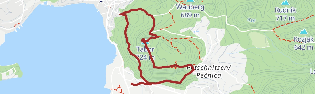
Tabor Rundweg
A 4 km loop up onto the Tabor above the Faaker See, with a hut at the top and a view over the water that works well toward sunset.
Planning a trip to Villach?
Everything else Carinthia has, in one place


Take Villach with you into the mountains
Every route on this page with 3D terrain, GPX navigation and offline maps — including the valleys with no signal.
Data sources
- Official website: visitvillach.at ↗
- Routes and highlights: Villach Tourismus
- Published as open data by the tourist boards named above.
- Region summary generated from the board's own material.
