
Curated by Sterzing, Pfitsch und Freienfeld
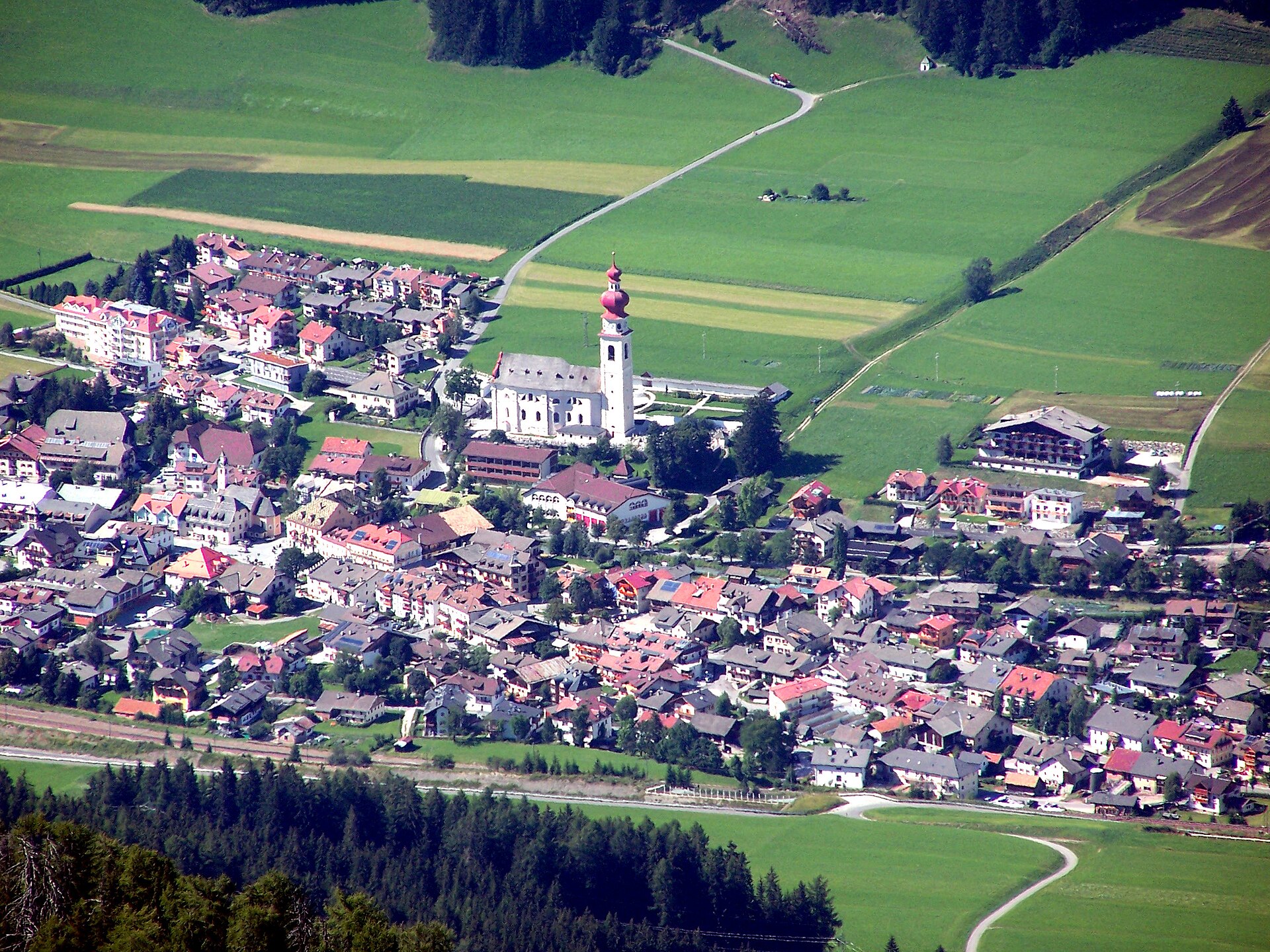
Villabassa/Niederdorf
A Pusteria village on the old Roman road, at the mouth of the Braies valley below Monte Piano.
Photo: X-Weinzar · CC BY-SA 3.0 licence
- 1Highlights
- 20Routes
- Featured summit · Sonnbichl - Col del Sole
Highlights
13 from neighbouring places
Malga Putz
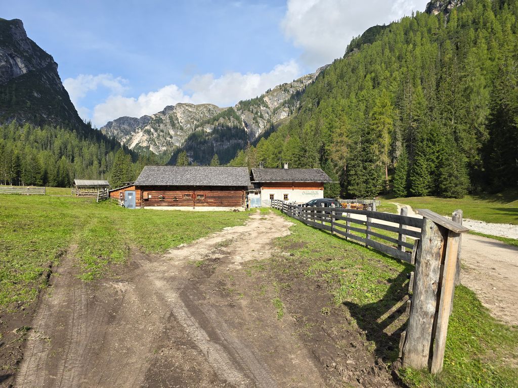
A dairy hut on the pastures above Villabassa, in the upper Val Pusteria below the Dolomiti di Braies.
Sterzing, Pfitsch und FreienfeldRifugio Prato Piazza
8.4 km away, in Braies/Prags
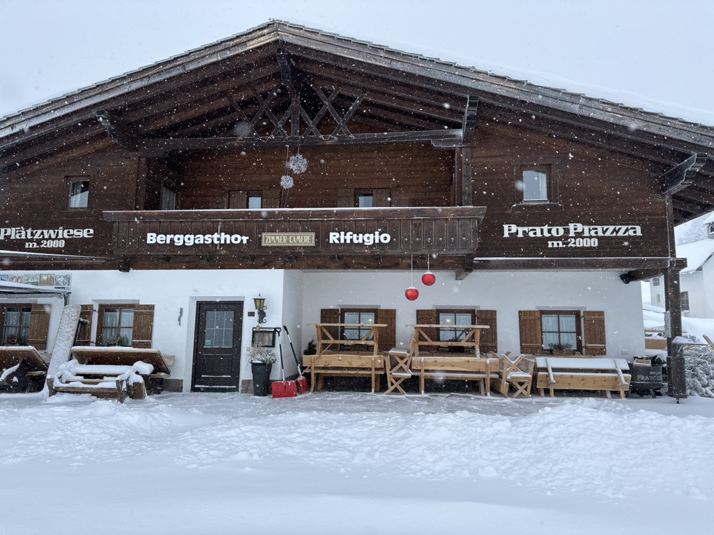
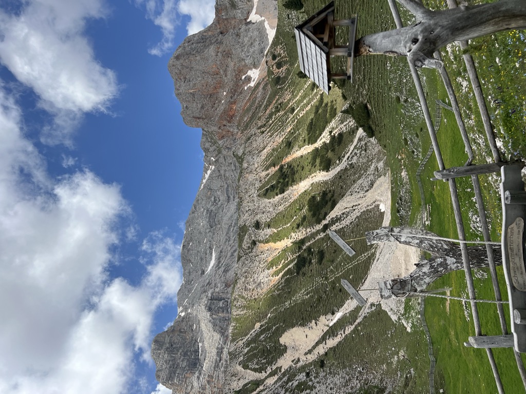
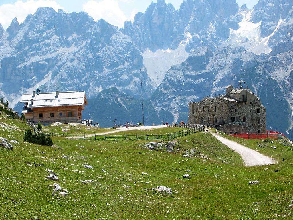
A hut on the Plätzwiese, the high meadow plateau above the Val di Braies, under the walls of the Croda Rossa and reached by the road from Ponticello.
Malga Prato Piazza
8.8 km away, in Braies/Prags
A pasture hut at 2,054 m on the Prato Piazza plateau south of Lago di Braies, on the Giro del Monte Specie theme trail out of Dobbiaco.
Sterzing, Pfitsch und FreienfeldMalga Rossalm
8.9 km away, in Braies/Prags
A recently built pasture hut at 2,164 m in the Braies Dolomites, reached on path 4 from the Ponticello car park or from Prato Piazza past Malga Stolla.
Malga Stolla
9.1 km away, in Braies/Prags
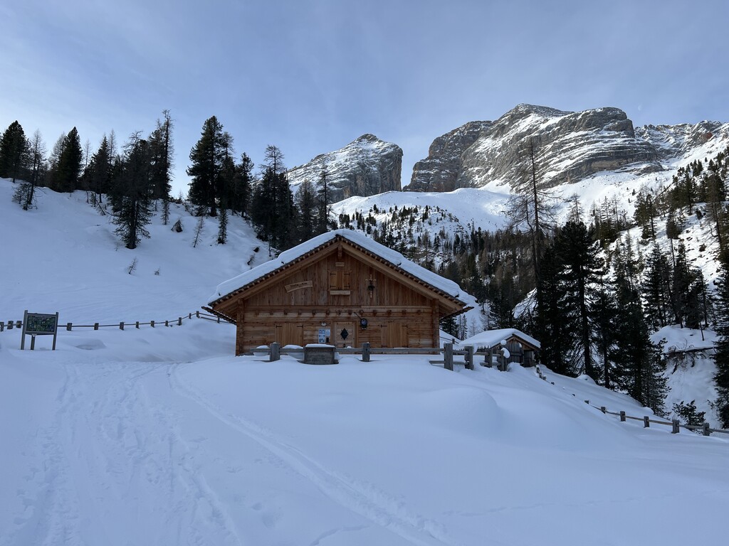
A hut at 1,940 m in the Braies valley, about two hours up the Stolla stream from Ponticello on path 18 and closed through the winter.
Sterzing, Pfitsch und FreienfeldRifugio alpino Bonnerhütte 2340 m
9.3 km away, in Dobbiaco/Toblach
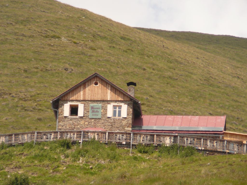
A hut at 2,340 m walked up from Dobbiaco or the Val Casies, with overnight beds, a stube, a sun terrace and sunrise over the Pfannhorn.
Malga Val Foresta
9.4 km away, in Braies/Prags
A pasture hut at 1,590 m above the western shore of Lago di Braies, reached on path 19 from the lake car park on a track gentle enough for pushchairs.
Sterzing, Pfitsch und FreienfeldRifugio Vallandro
9.8 km away, in Braies/Prags
A refuge on the Prato Piazza plateau above Braies, the usual starting point for the Picco di Vallandro and its old fortifications.
Sterzing, Pfitsch und FreienfeldRifugio Gigante Baranci
7.9 km away, in San Candido/Innichen
A refuge at the foot of the Baranci above San Candido, in the Sesto Dolomites, reached from the Baranci lift or on foot from the village.
Malga Hochraut 1.643m
10 km away, in Rasun-Anterselva/Rasen-Antholz
A pasture hut at 1,643 m above Rasun, reached by forest road from the valley, with the Vedrette di Ries to the north.
Hochrautalm 1643 m
10 km away, in Rasun-Anterselva/Rasen-Antholz
A dairy hut at 1,643 m on the pastures above Rasun, at the mouth of the Anterselva valley.
Sterzing, Pfitsch und FreienfeldMalga Hofstatt 1.300m
12 km away, in Rasun-Anterselva/Rasen-Antholz
A dairy hut at 1,300 m in the woods above Rasun, a short walk from the road up the Anterselva valley.
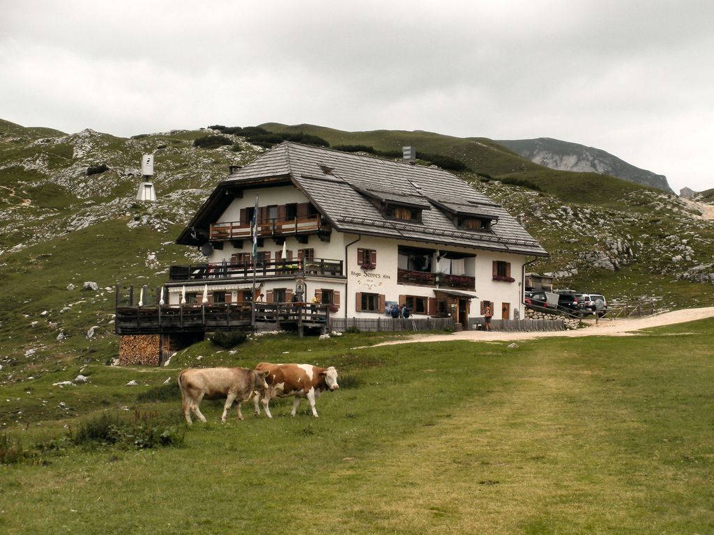
Rifugio Sennes
12.2 km away, in Marebbe/Enneberg
A hut at 2,126 m on the Sennes pastures in the Fanes-Sennes-Braies nature park above Marebbe, on the Alta Via delle Dolomiti n. 1.
Sterzing, Pfitsch und FreienfeldBaita del cacciatore
13.7 km away, in Sesto/Sexten
A hut at 1,821 m above Sesto in the Pusteria, an easy outing for families of any age, reached from the Helmjet top station or on the meditation path.
Nothing of this kind in Villabassa/Niederdorf.
Routes
Nature Fitness Park – Nordic Walking a Villabassa
One of the signed nordic walking loops at Villabassa, part of a 34 km network of measured and waymarked routes in the Val Pusteria.
- 6.4 km
- Distance
- 106 m
- Ascent
- 1 h 46 min
- Duration
- 41
- Check-ins
 Stapfpinggl 1 246 m
 Baita 1 175 m
- Tourismusbüro Niederdorf - Ufficio Turistico di Villabassa 1 156 m
- Perlofferschupfe 1 200 m
- Hilscherschupfe 1 190 m
- Burgerschupfe 1 198 m
- +5
Open route Sterzing, Pfitsch und FreienfeldPercorso tematico "Balance" - Luoghi ad alta energie e terapia della foresta
A forest-therapy route from Villabassa along the Rienza and the Tschachenweg to the church of Santa Maddalena, with places to stop and breathe.
- 12.4 km
- Distance
- 225 m
- Ascent
- 3 h 28 min
- Duration
- 42
- Check-ins
- Stapfpinggl 1 246 m
- Baita 1 175 m
- Tourismusbüro Niederdorf - Ufficio Turistico di Villabassa 1 156 m
- Brückensteiner 1 128 m
- Perlofferschupfe 1 200 m
- Hilscherschupfe 1 190 m
- +7
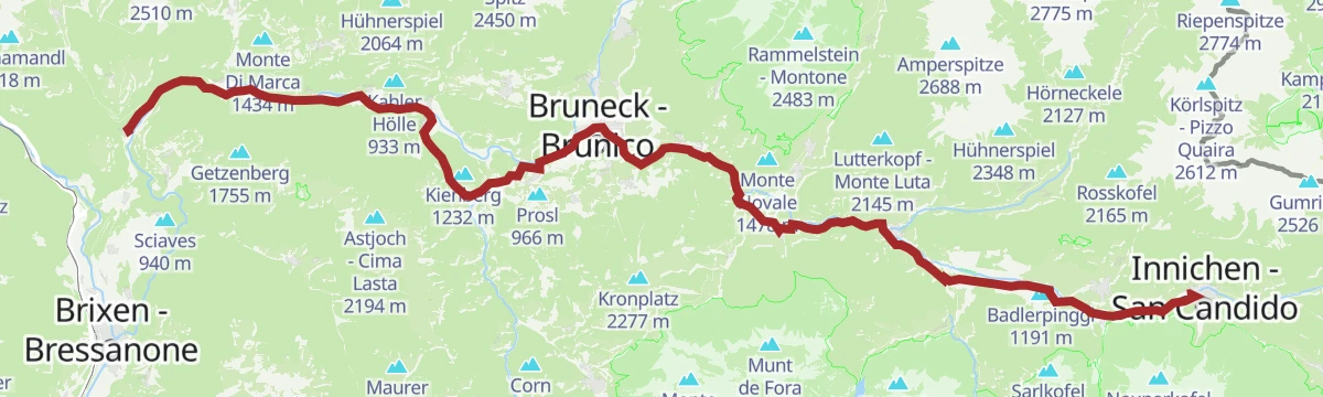
Open route 3 Zinnen DolomitenCammino di San Giacomo, tappa San Candido - Dobbiaco - Villabassa - Monguelfo
A stage of the Way of St James down the Puster valley from San Candido through Dobbiaco and Villabassa to Monguelfo, mostly losing height.
- 18.0 km
- Distance
- 143 m
- Ascent
- 4 h 39 min
- Duration
- 36
- Check-ins
- Stapfpinggl 1 246 m
- Tourismusverein 1 177 m
- Bar Minigolf 1 180 m
- Tourismusbüro Niederdorf - Ufficio Turistico di Villabassa 1 156 m
- Infobüro - Ufficio informazioni 1 090 m
- Gustav Mahler Stube 1 233 m
- +4
Open route Sterzing, Pfitsch und FreienfeldGiro in MTB Prato Piazza (071)
A forest-road climb to the Prato Piazza plateau at 1,993 m, returning by the Dürrensee below the Cristallo.
- 42.4 km
- Distance
- 886 m
- Ascent
- 4 h 36 min
- Duration
- 332
- Check-ins
- Prato Piazza 1 997 m
- Berggasthof Plätzwiese - Rifugio Prato Piazza 1 995 m
- Dürrensee 1 411 m
 Plätzwiese - Prato Piazza 1 993 m
- Baita 1 175 m
- Villaggio turistico Ploner 1 436 m
- +9
Open route 3 Zinnen DolomitenPrato Piazza
A long ride from Cortina by Fiames and Ospitale over the Cimabanche pass, climbing to the plateau above the Dürrensee.
- 76.1 km
- Distance
- 1 431 m
- Ascent
- 8 h 6 min
- Duration
- 362
- Check-ins
- Prato Piazza 1 997 m
- Stapfpinggl 1 246 m
- Berggasthof Plätzwiese - Rifugio Prato Piazza 1 995 m
- Dürrensee 1 411 m
- Plätzwiese - Prato Piazza 1 993 m
- Rifugio Albergo Ospitale 1 491 m
- +17
Open route Cortina Marketing Se.Am.Escursione estiva: Villabassa - Carbonin Vecchia - Rienza (Copy)
An easy walk from the old centre of Villabassa through meadow and wood towards Dobbiaco, reaching the hut where Mahler composed part of his Ninth Symphony.
- 5.3 km
- Distance
- 136 m
- Ascent
- 1 h 31 min
- Duration
- 3
- Check-ins
- Stapfpinggl 1 246 m
- Gustav Mahler Stube 1 233 m
- Restaurant Bar Rienz 1 229 m
- Ebnerschupfe 1 193 m
- Maistatter Schupfe 1 228 m
- Bad Maistatt - Bagno Pian di Maia 1 253 m
Open route Sterzing, Pfitsch und FreienfeldMTB-Tour 3 Cime Dolomiti in un tour (013)
A long circuit taking in the Tre Cime area, on forest roads by the Malga San Silvestro and the Stoneman info point.
- 64.7 km
- Distance
- 1 386 m
- Ascent
- 7 h 3 min
- Duration
- 99
- Check-ins
- Baita 1 175 m
- STONEMAN - Spirit Info Point 1 314 m
- Paradiso 1 197 m
- Silvesteralm - Malga San Silvestro 1 800 m
- Schnegga Soge 1 492 m
- Kugler Speckstube 1 310 m
- +8
Open route 3 Zinnen DolomitenPustertal Valley Bike Route: Mühlbach - Innichen
The up-valley direction of the Puster valley cycle path, starting at Rio di Pusteria and gaining height gently as far as San Candido.
- 62.1 km
- Distance
- 340 m
- Ascent
- 5 h 59 min
- Duration
- 91
- Check-ins
- Baita 1 175 m
- Mühlbacher Torturm - Porta di Rio Pusteria 734 m
- Tourist Info Olang 1 046 m
- Mini Snack 745 m
- Treff Ried 927 m
- Touristik Information 764 m
- +10
Open route Gitschberg - JochtalEscursione circolare Maistatt
An easy round from the school in Villabassa through Piazza Von Kurz and the Roda-Platzl, then under the railway and up towards the Maistatt.
- 4.8 km
- Distance
- 106 m
- Ascent
- 1 h 23 min
- Duration
- Stapfpinggl 1 246 m
- Ebnerschupfe 1 193 m
- Maistatter Schupfe 1 228 m
- Santerschupfe 1 229 m
- Bad Maistatt - Bagno Pian di Maia 1 253 m
Open route Sterzing, Pfitsch und FreienfeldMTB TourGiro Val Casies (046)
A circuit into the neighbouring Val Casies that front-loads its climbing, leaving the return leg almost level.
- 33.3 km
- Distance
- 553 m
- Ascent
- 3 h 29 min
- Duration
- 66
- Check-ins
- Conglomerato di Monguelfo 1 128 m
- Baita 1 175 m
- Touristeninformation - Informazioni turistiche 1 217 m
- Rifugio Genziana - Enzianhütte 1 351 m
- Tourismusbüro Niederdorf - Ufficio Turistico di Villabassa 1 156 m
- Villa San Giuseppe 1 170 m
- +3
Open route 3 Zinnen DolomitenPustertal Valley Bike Route
The full length of the Puster valley cycle path, from the gate tower at Rio di Pusteria through Brunico and Valdaora up to San Candido.
- 60.0 km
- Distance
- 266 m
- Ascent
- 5 h 43 min
- Duration
- 90
- Check-ins
- Baita 1 175 m
- Mühlbacher Torturm - Porta di Rio Pusteria 734 m
- Tourismusverein - Ufficio informazioni turistiche 790 m
- Tourist Info Olang 1 046 m
- Mini Snack 745 m
- Treff Ried 927 m
- +5
Open route KienseMTB-Tour Val Casies (046)
An e-bike circuit into the Val Casies, the climbing concentrated in the first half and the way back nearly flat.
- 33.8 km
- Distance
- 558 m
- Ascent
- 3 h 31 min
- Duration
- 62
- Check-ins
- Conglomerato di Monguelfo 1 128 m
- Baita 1 175 m
- Touristeninformation - Informazioni turistiche 1 217 m
- Rifugio Genziana - Enzianhütte 1 351 m
- Schuler 1 225 m
- Enzianhütte - Rifugio Genziana 1 350 m
- +5
Open route 3 Zinnen DolomitenPustertal Valley bikeway
A paved valley route beside the Rienza through Brunico and on to San Candido, easily combined with the Puster valley railway.
- 62.0 km
- Distance
- 274 m
- Ascent
- 5 h 54 min
- Duration
- 90
- Check-ins
- Baita 1 175 m
- Mühlbacher Torturm - Porta di Rio Pusteria 734 m
- Tourist Info Olang 1 046 m
- Mini Snack 745 m
- Treff Ried 927 m
- Touristik Information 764 m
- +9
Open route OlangGiro Montecosta (061)
A forest-road climb from Villabassa onto the sunny terrace of the Montecosta, reaching the Enzianhütte and the Bellavista lookout.
- 25.5 km
- Distance
- 600 m
- Ascent
- 2 h 50 min
- Duration
- 50
- Check-ins
- Baita 1 175 m
- Touristeninformation - Informazioni turistiche 1 217 m
- Rifugio Genziana - Enzianhütte 1 351 m
- Enzianhütte - Rifugio Genziana 1 350 m
- Schupfe 1 341 m
Open route 3 Zinnen DolomitenPustertal|Val Pusteria Bike Route: Leg San Candido|Innichen - Brunico|Bruneck
A rolling leg beside the railway from San Candido down to Brunico, through Dobbiaco, Villabassa and Valdaora with meadows either side.
- 34.7 km
- Distance
- 157 m
- Ascent
- 3 h 21 min
- Duration
- 57
- Check-ins
- Baita 1 175 m
- Tourist Info Olang 1 046 m
- Treff Ried 927 m
- Tourismusbüro Niederdorf - Ufficio Turistico di Villabassa 1 156 m
 Weiher in der Aue 918 m
- Sportbar Percha 926 m
- +2
Open route Ski- und Wandergebiet KronplatzPustertal Valley Bike Route: Innichen - Bruneck
The gently descending leg of the Puster valley cycle path from San Candido west to Brunico, passing Valdaora and the pond at Perca.
- 33.5 km
- Distance
- 194 m
- Ascent
- 3 h 16 min
- Duration
- 50
- Check-ins
- Baita 1 175 m
- Tourist Info Olang 1 046 m
- Treff Ried 927 m
- Weiher in der Aue 918 m
- Sportbar Percha 926 m
Open route Gitschberg - JochtalBike Tour to the Lake Toblach
A ride down to the Pustertal cycle path and on through Welsberg and Niederdorf, turning off at Toblach for the lake at 1,266 m.
- 22.5 km
- Distance
- 294 m
- Ascent
- 2 h 12 min
- Duration
- 44
- Check-ins
- Baita 1 175 m
- Tourismusbüro Niederdorf - Ufficio Turistico di Villabassa 1 156 m
- Hotel Baur am See 1 266 m
- Ochsenleger 1 230 m
- Tourismusverein Rasen 1 041 m
Open route Tourismusgenossenschaft AntholzertalBike Tour to the View of the Three Peaks
A long ride down the Pustertal to Toblach and on towards Cortina, finishing at the viewpoint that looks across to the Drei Zinnen.
- 31.2 km
- Distance
- 474 m
- Ascent
- 3 h 5 min
- Duration
- 44
- Check-ins
- Baita 1 175 m
- Tourismusbüro Niederdorf - Ufficio Turistico di Villabassa 1 156 m
- Hotel Baur am See 1 266 m
- Ochsenleger 1 230 m
- Tourismusverein Rasen 1 041 m
Open route Tourismusgenossenschaft AntholzertalBike Tour to Innichen
A ride up the Pustertal cycle path past the Olang reservoir and through Welsberg, Niederdorf and Toblach to San Candido near the Austrian border.
- 25.5 km
- Distance
- 252 m
- Ascent
- 2 h 27 min
- Duration
- 37
- Check-ins
- Baita 1 175 m
- Tourismusbüro Niederdorf - Ufficio Turistico di Villabassa 1 156 m
- Tourismusverein Rasen 1 041 m
Open route Tourismusgenossenschaft AntholzertalBike Tour to the Niederdorf Kurpark
A run from Antholz down the valley on gravel and cycle path to the spa park at Niederdorf.
- 23.4 km
- Distance
- 188 m
- Ascent
- 2 h 14 min
- Duration
- 13
- Check-ins
- Tourismusbüro Niederdorf - Ufficio Turistico di Villabassa 1 156 m
- Fischteich 1 115 m
- Bad Salomonsbrunn 1 099 m
- Tourismusverein Rasen 1 041 m
Open route Tourismusgenossenschaft Antholzertal




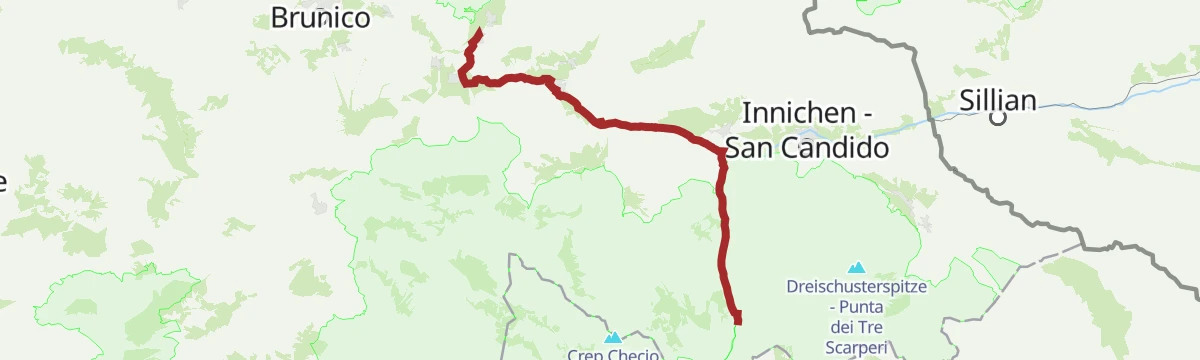


No routes of this kind in Villabassa/Niederdorf yet.
The region's own picks

Featured route
Nature Fitness Park – Nordic Walking a Villabassa
One of the signed nordic walking loops at Villabassa, part of a 34 km network of measured and waymarked routes in the Val Pusteria.
Planning a trip to Villabassa/Niederdorf?
Everything else Trentino-Alto Adige/Südtirol has, in one place


Take Villabassa/Niederdorf with you into the mountains
Every route on this page with 3D terrain, GPX navigation and offline maps — including the valleys with no signal.
Data sources
- Official website: dreizinnen.com ↗
- Routes and highlights: Sterzing, Pfitsch und Freienfeld, 3 Zinnen Dolomiten, Tourismusgenossenschaft Antholzertal, Gitschberg - Jochtal, YesAlps, Dolomiti, Cortina Marketing Se.Am., Kiens, Olang, Ski- und Wandergebiet Kronplatz
- Published as open data by the tourist boards named above.
- Region summary generated from the board's own material.
