
Curated by Valtellina Outdoor
Vezza d'Oglio
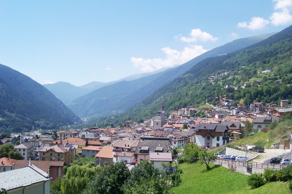
Upper Camonica village on the Oglio, with cross-country trails on the valley floor and the Adamello park above.
- 4Highlights
- 5Routes
Highlights
All 4 from neighbouring places
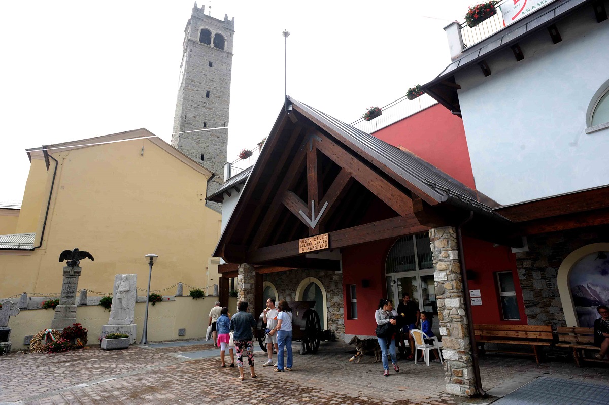
Museo della Guerra Bianca in Adamello di Temù
7.1 km away, in Temù
A museum at Temù on the White War fought on the Adamello glaciers between 1915 and 1918.
Parco Nazionale dello Stelvio
9.8 km away, in Ponte di Legno
Italy's largest national park, spanning Lombardy, Trentino and South Tyrol around the Ortles-Cevedale glaciers.
Chiesa della Santissima Trinità
9.8 km away, in Ponte di Legno
A sixteenth-century church on a knoll in the middle of Ponte di Legno, at the head of the Val Camonica.
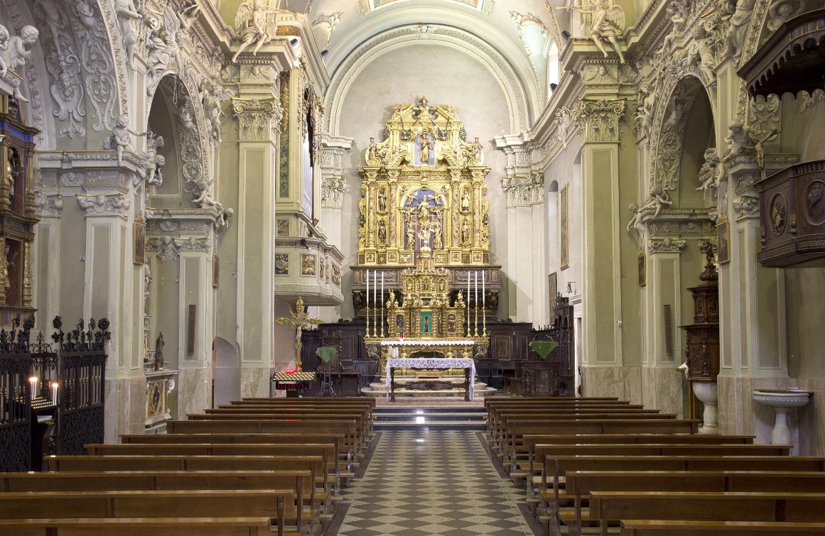
Chiesa di San Giovanni Battista
10.9 km away, in Edolo
The main church of Edolo and the town's most notable monument, in the Camonica valley where the Aprica, Mortirolo and Tonale roads divide.
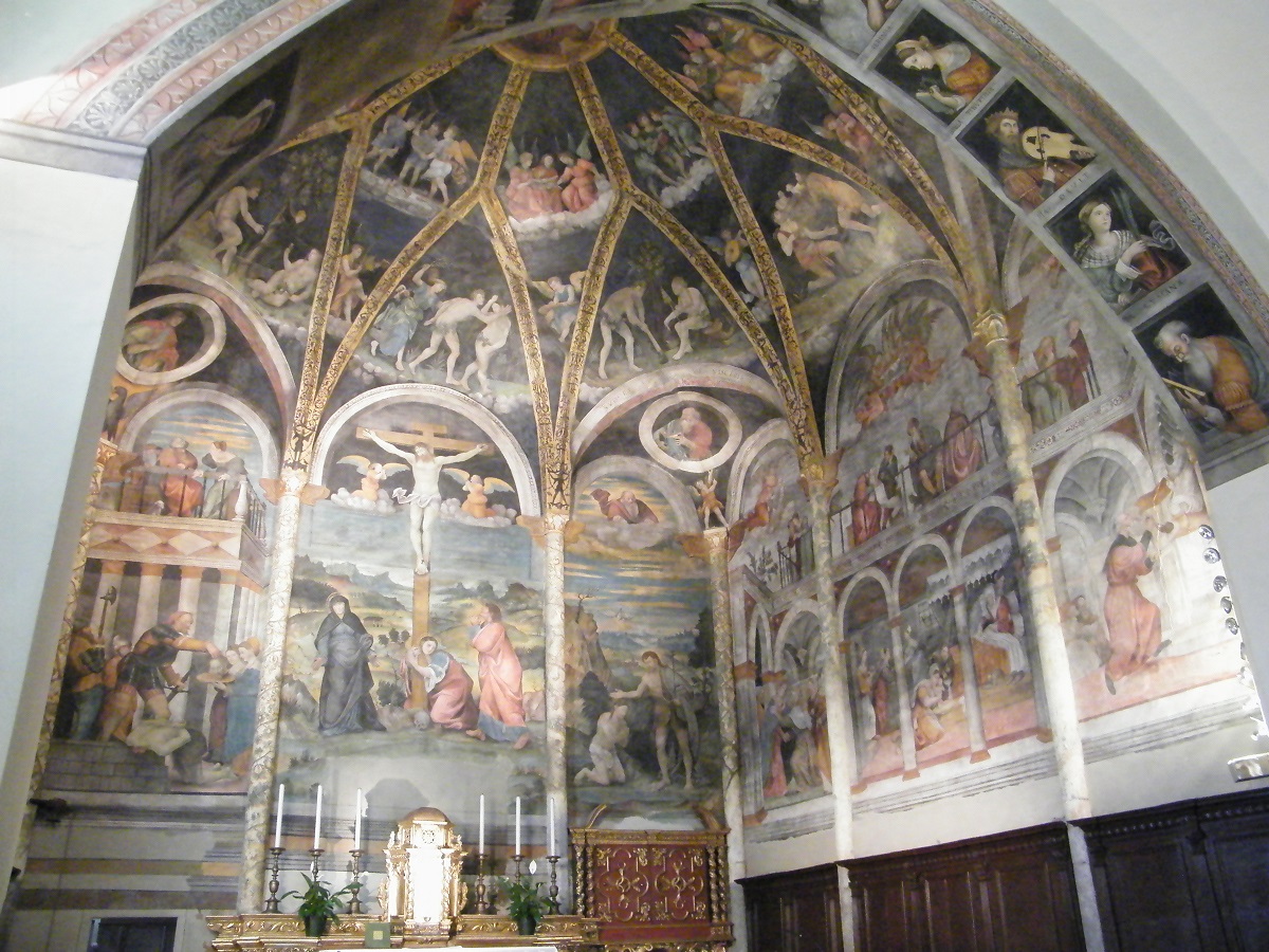
Nothing of this kind in Vezza d'Oglio.
Routes
15 from neighbouring places
Val Grande tra colorati larici e cervi in amore
A walk up the Val Grande above Vezza d'Oglio through larch and rhododendron, good in autumn when the stags are rutting.
- 9.0 km
- Distance
- 760 m
- Ascent
- 3 h 25 min
- Duration
- 62
- Check-ins
Val Grande
A long valley walk from Tu above Vezza d'Oglio into the Stelvio park, on a mule track up Val Grande past scattered farm clusters and flowering meadows.
- 17.3 km
- Distance
- 936 m
- Ascent
- 6 h 41 min
- Duration
- 59
- Check-ins
 Malga Val Grande 1 785 m
- Rifugio Saverio Occhi 2 040 m
- Chalet Bramito 1 740 m
- Baita Leggerini dei Petènch 1 709 m
- Cà di Tonale 1 675 m
- Baita Rizzi 1 657 m
- +3
Open route Valtellina OutdoorPer i ghiacciatori: Rifugio Alla Cascata
A climb from Vezza d'Oglio in the Valle Camonica up to the Rifugio Alla Cascata, on the Adamello side of the Val Grande.
- 4.3 km
- Distance
- 446 m
- Ascent
- 1 h 55 min
- Duration
- 11
- Check-ins
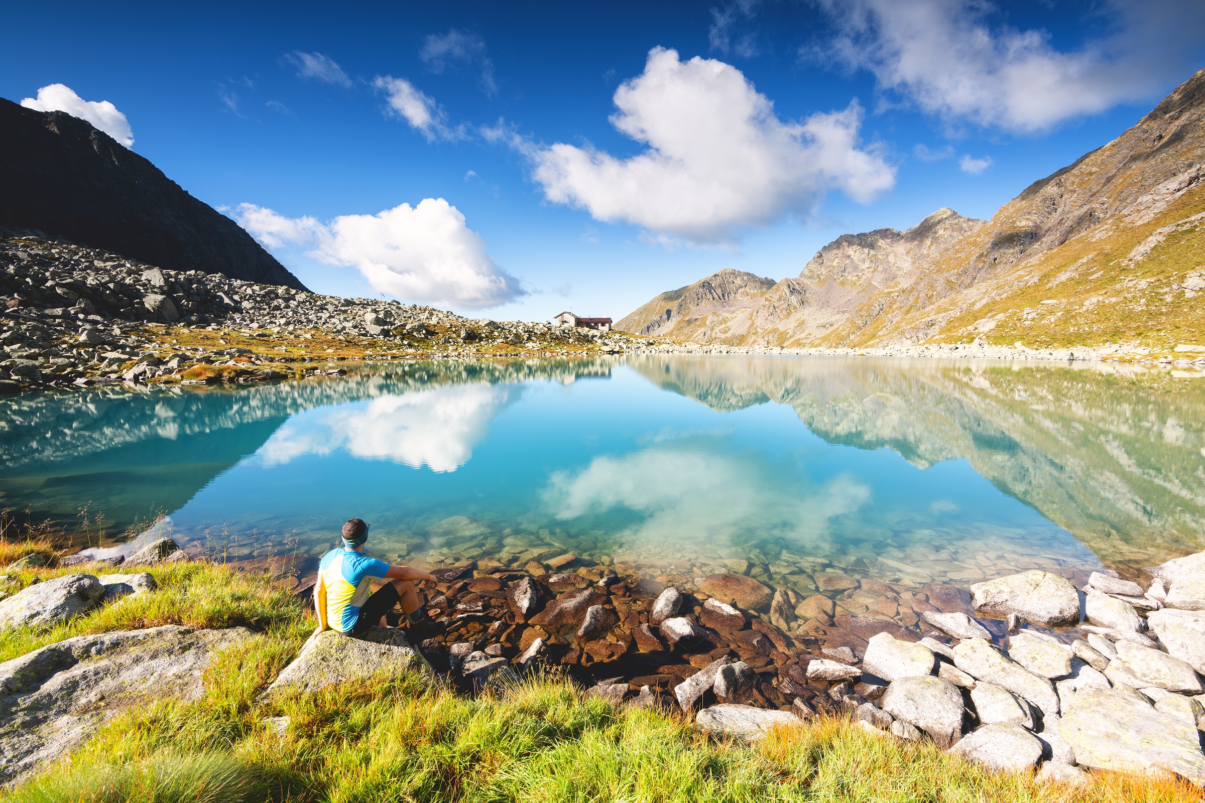
Riflessi cristallini sul Lago Aviolo
A long day above Vezza d'Oglio to Lago Aviolo, the alpine lake held in a basin under the Adamello granite.
- 18.2 km
- Distance
- 737 m
- Ascent
- 6 h 6 min
- Duration
- 53
- Check-ins
Scendendo dal Passo del Tonale
A long descent from the Tonale pass down the Valle Camonica towards Ponte di Legno, losing height nearly all the way.
- 20.3 km
- Distance
- 75 m
- Ascent
- 5 h 28 min
- Duration
- 27
- Check-ins
Bormio 360 Mountain Bike - Stage 6 - Sentiero de li stria
7.6 km away, in Sondalo
A link stage across the slopes above Sondalo, dropping through Mondadizza and Le Prese before the road to Fontanaccia at the mouth of Val di Rezzalo.
- 15.2 km
- Distance
- 885 m
- Ascent
- 1 h 57 min
- Duration
Open route Valtellina OutdoorSan Bernardo
8.3 km away, in Sondalo
A short walk on the wartime mule track S519 up the right bank of the Rezzalasch to the wooden bridge and huts of La Pontela.
- 2.8 km
- Distance
- 333 m
- Ascent
- 1 h 22 min
- Duration
Open route Valtellina OutdoorStelvio Epic Rides: Fumero climb
9.1 km away, in Sondalo
The road climb from Le Prese up to Fumero, steady and at times hard, through villages and woods to a quiet balcony over the upper valley.
- 6.9 km
- Distance
- 562 m
- Ascent
- 59 min
- Duration
Open route Valtellina OutdoorL’Alta Via Camuna in Mountain Bike
9.5 km away, in Ponte di Legno
A long loop ride from Ponte di Legno in the upper Valle Camonica, climbing past the Laghetti di Montozzo to Rifugio Angelino Bozzi.
- 41.8 km
- Distance
- 1 403 m
- Ascent
- 5 h 2 min
- Duration
- 154
- Check-ins
Val Canè
5.4 km away, in Vione
A walk up the Val Canè from Cortebona through larch wood, past the white marble veins in the rock of Monte Coleazzo.
- 8.3 km
- Distance
- 932 m
- Ascent
- 5 h 36 min
- Duration
- 29
- Check-ins
- Bivacco Valzaroten 2 212 m
- Punto informazioni Cortebona 1 763 m
- La Palazzina 1 805 m
 Laghetti di Pietra Rossa 2 585 m
Open route Valtellina OutdoorMadrisio huts
7.4 km away, in Sondalo
A climb on trail S492 from Bolladore through fir and larch above the Boscaccia cliffs to the sunny hamlet of Taron and on to Madrisio.
- 5.3 km
- Distance
- 902 m
- Ascent
- 3 h 26 min
- Duration
Open route Valtellina OutdoorBormio 360 Mountain Bike - Stage 7 - Rhododendron Trail
8.3 km away, in Sondalo
An almost unbroken climb from Fontanaccia up the Val di Rezzalo, on forest trail and old military hairpins to Passo dell'Alpe at 2,461 m.
- 12.8 km
- Distance
- 958 m
- Ascent
- 1 h 49 min
- Duration
- 24
- Check-ins
Open route Valtellina OutdoorMadonna della Neve
8.9 km away, in Sondalo
A path from Sommacologna above Sondalo, climbing to La Vigna and dropping through forest to Remoscolo, facing the Morelli hospital buildings.
- 2.7 km
- Distance
- 314 m
- Ascent
- 1 h 27 min
- Duration
Open route Valtellina OutdoorDa Ponte di Legno ai Rif. Capanna Valbione e Petit Pierre
10 km away, in Ponte di Legno
A ride on wide, easy dirt roads from Ponte di Legno up to the Valbione and Petit Pierre huts.
- 13.2 km
- Distance
- 664 m
- Ascent
- 1 h 51 min
- Duration
- 75
- Check-ins
Energy Cycle Path - Green Route
9.1 km away, in Grosotto
A hard route past the Valtellina hydro schemes, crossing the Passo di Verva at 2,300 m.
- 39.3 km
- Distance
- 1 865 m
- Ascent
- 4 h 47 min
- Duration
- 61
- Check-ins
- Baita Viola 1 883 m
 Passo Torri di Fraele 1 941 m
- Rifugio Eita 1 703 m
- Agriturismo Val Verva 2 124 m
- Baita Verva Sotto 1 955 m
- Passo di Verva 2 300 m
- +2
Open route Valtellina OutdoorAl Rifugio Al Lago del Mortirolo
7.3 km away, in Monno
A climb from Monno to the hut beside the lake at the Mortirolo pass, above the upper Valle Camonica.
- 4.0 km
- Distance
- 526 m
- Ascent
- 2 h 6 min
- Duration
- 13
- Check-ins
Bormio 360 Trekking - Stage 6 - Sentiero de li Stria
7.6 km away, in Sondalo
A demanding stage from Sondalo on trail S494 by Villa Manara and Mondadizza, climbing steeply through the Scala valley.
- 10.6 km
- Distance
- 920 m
- Ascent
- 4 h 38 min
- Duration
Open route Valtellina OutdoorThe Val di Rezzalo from Fontanaccia to Bormio by MTB
8.6 km away, in Sondalo
A crossing of Passo dell'Alpe in the Stelvio National Park, with a long descent to Santa Caterina Valfurva and the Frodolfo stream down to Bormio.
- 33.0 km
- Distance
- 1 185 m
- Ascent
- 4 h 8 min
- Duration
- 51
- Check-ins
- Rifugio Sci 2000 2 008 m
- La Tana 1 737 m
- Bait Da Mighel 1 278 m
- Rifugio La Baita 1 860 m
- Passo dell'Alpe 2 461 m
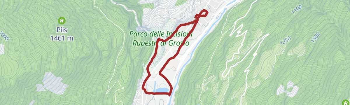
Open route Valtellina OutdoorOratory Palio Walk of Grosio 2025
9 km away, in Grosio
An easy circuit on the flat ground around Grosio in the Valtellina, laid out for the parish palio.
- 5.0 km
- Distance
- 80 m
- Ascent
- 1 h 23 min
- Duration
- 3
- Check-ins
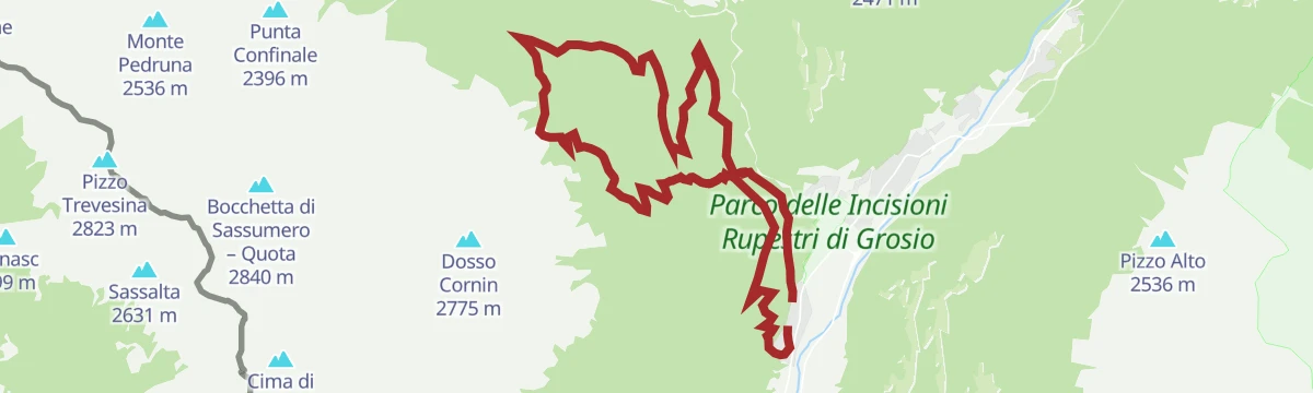
Open route Valtellina OutdoorCornin Bike Trail
9.8 km away, in Grosotto
A steep paved climb from Grosotto up the Rhaetian flank towards the Alpe Piana pastures, with pitches past 14% above Dovere.
- 22.9 km
- Distance
- 1 516 m
- Ascent
- 3 h 52 min
- Duration
Open route Valtellina Outdoor



No routes of this kind in Vezza d'Oglio yet.
Planning a trip to Vezza d'Oglio?
Everything else Lombardy has, in one place


Take Vezza d'Oglio with you into the mountains
Every route on this page with 3D terrain, GPX navigation and offline maps — including the valleys with no signal.
Data sources
- Official website: turismovallecamonica.it ↗
- Routes and highlights: Valtellina Outdoor, in Lombardia, Visitbrescia
- Published as open data by the tourist boards named above.
- Region summary generated from the board's own material.
